Oxford is a city in Sumner County, Kansas, United States. As of the 2020 census, the population of the city was 1,048. Oxford city overview: Name: Oxford city LSAD Code: 25 LSAD Description: city (suffix) State: Kansas County: Sumner County Founded: 1871 Incorporated: 1879 Elevation: 1,191 ft (363 m) Total Area: 0.91 sq mi (2.35 km²) Land Area: 0.91 sq mi (2.35 km²) ... Read more
Kansas Cities and Places
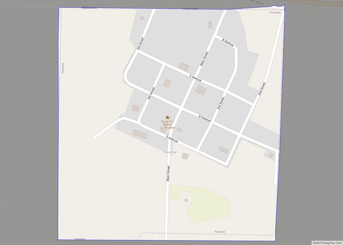
Paradise is a city in Russell County, Kansas, United States. As of the 2020 census, the population of the city was 35. Paradise city overview: Name: Paradise city LSAD Code: 25 LSAD Description: city (suffix) State: Kansas County: Russell County Founded: 1887 Incorporated: 1924 Elevation: 1,693 ft (516 m) Total Area: 0.25 sq mi (0.64 km²) Land Area: 0.25 sq mi (0.64 km²) ... Read more
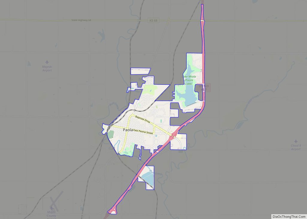
Paola /peɪˈoʊlə/ is a city in and the county seat of Miami County, Kansas, United States. As of the 2020 census, the population of the city was 5,768. Paola city overview: Name: Paola city LSAD Code: 25 LSAD Description: city (suffix) State: Kansas County: Miami County Incorporated: 1855 Elevation: 906 ft (276 m) Total Area: 5.53 sq mi (14.33 km²) ... Read more
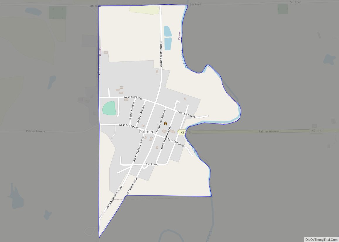
Palmer is a city in Washington County, Kansas, United States. As of the 2020 census, the population of the city was 125. Palmer city overview: Name: Palmer city LSAD Code: 25 LSAD Description: city (suffix) State: Kansas County: Washington County Founded: 1878 Incorporated: 1911 Elevation: 1,329 ft (405 m) Total Area: 0.31 sq mi (0.81 km²) Land Area: 0.31 sq mi (0.80 km²) ... Read more
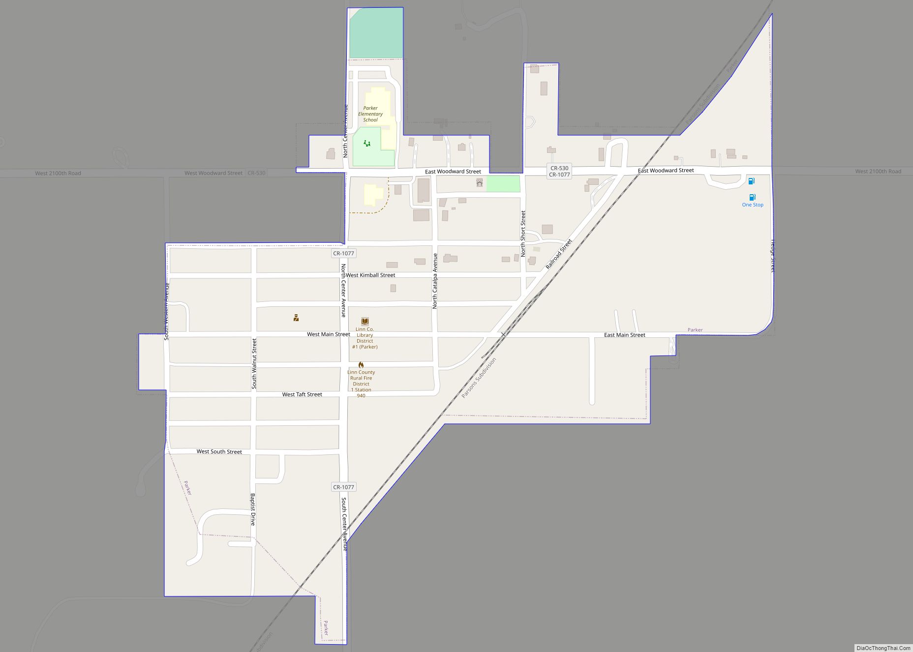
Parker is a city in Linn County, Kansas, United States. As of the 2020 census, the population of the city was 241. Parker city overview: Name: Parker city LSAD Code: 25 LSAD Description: city (suffix) State: Kansas County: Linn County Founded: 1880s Incorporated: 1897 Elevation: 1,007 ft (307 m) Total Area: 0.28 sq mi (0.73 km²) Land Area: 0.28 sq mi (0.73 km²) ... Read more
Park is a city in Gove County, Kansas, United States. As of the 2020 census, the population of the city was 112. Park city overview: Name: Park city LSAD Code: 25 LSAD Description: city (suffix) State: Kansas County: Gove County Founded: 1870s Incorporated: 1950 Elevation: 2,746 ft (837 m) Total Area: 0.32 sq mi (0.82 km²) Land Area: 0.32 sq mi (0.82 km²) ... Read more
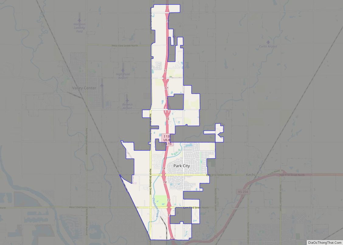
Park City is a city in Sedgwick County, Kansas, United States and a suburb of Wichita. As of the 2020 census, the population of the city was 8,333. Park City city overview: Name: Park City city LSAD Code: 25 LSAD Description: city (suffix) State: Kansas County: Sedgwick County Founded: 1953 Incorporated: 1980 Elevation: 1,365 ft (416 m) ... Read more
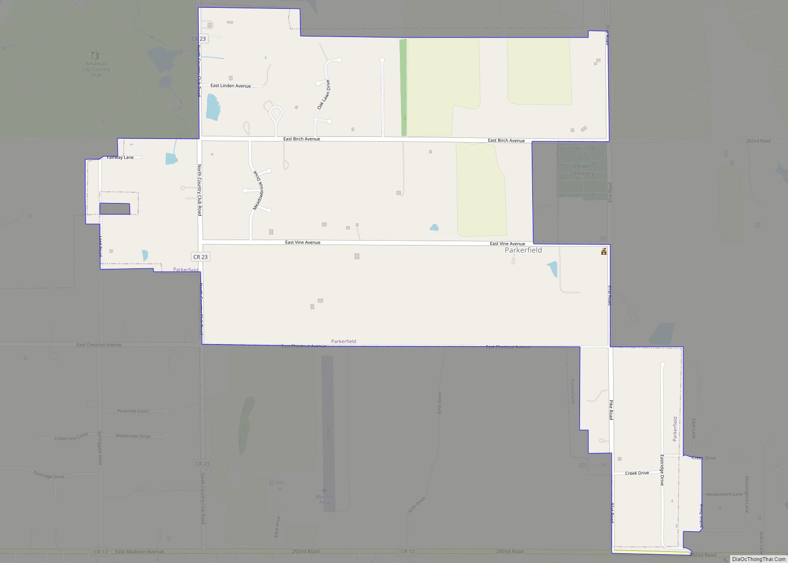
Parkerfield is a city in Cowley County, Kansas, United States. As of the 2020 census, the population of the city was 406. It is an eastern suburb of Arkansas City. Parkerfield city overview: Name: Parkerfield city LSAD Code: 25 LSAD Description: city (suffix) State: Kansas County: Cowley County Incorporated: 2004 Elevation: 1,142 ft (348 m) Total Area: ... Read more
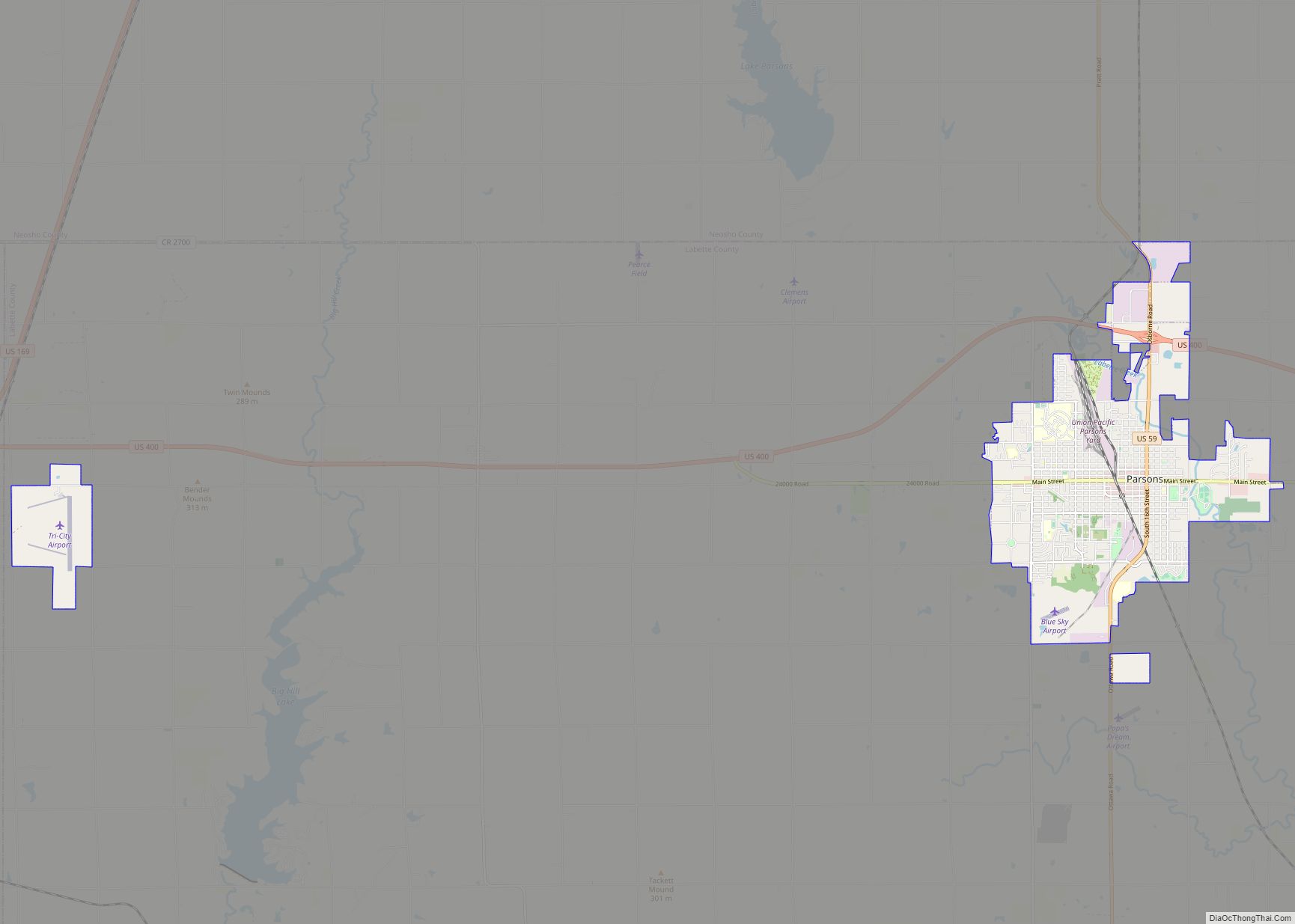
Parsons is a city in Labette County, Kansas, United States. As of the 2020 census, the population of the city was 9,600. It is the most populous city of Labette County, and the second-most populous city in the southeastern region of Kansas. It is home to Labette Community College and the Parsons State Hospital & ... Read more
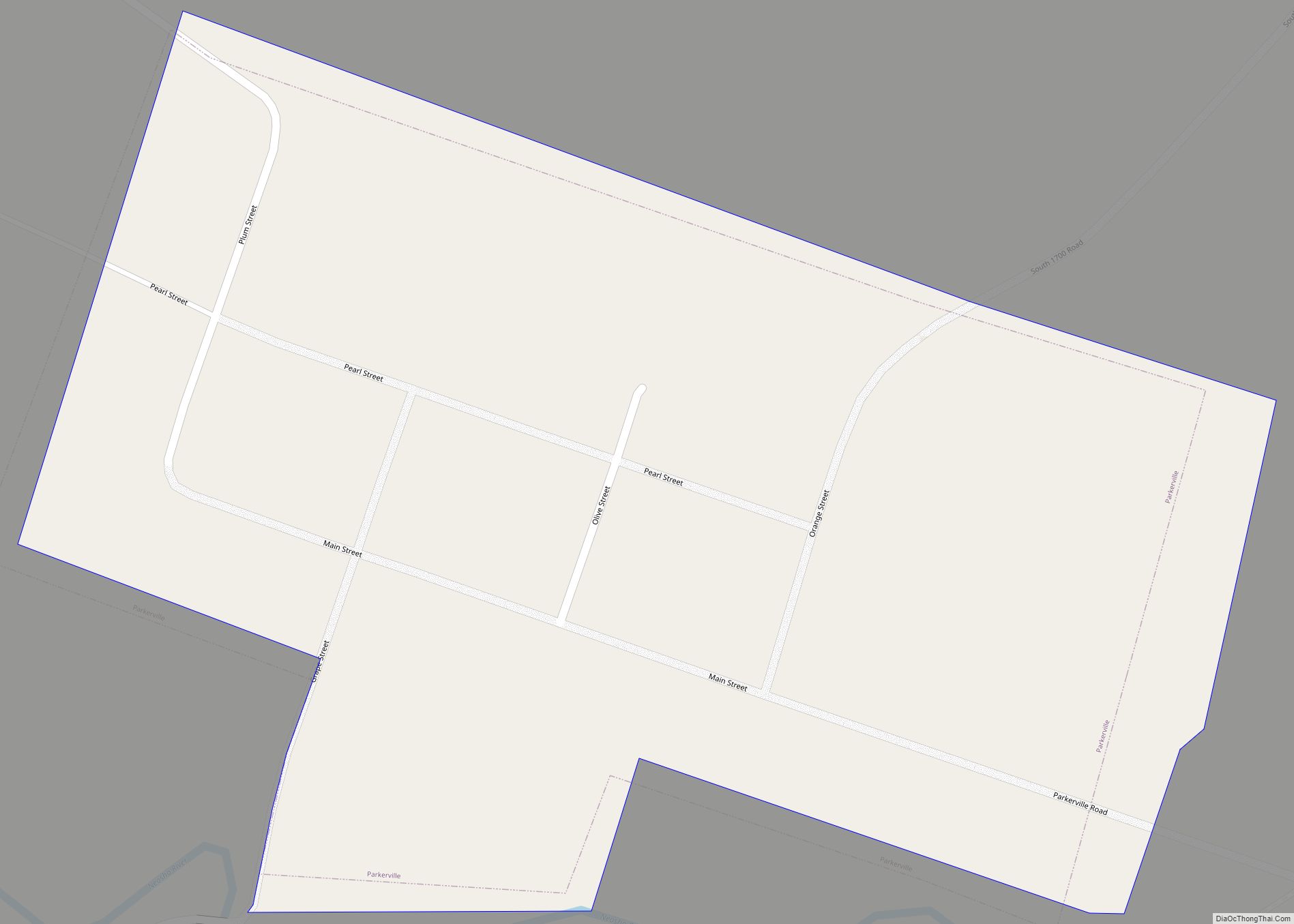
Parkerville is a city in Morris County, Kansas, United States. As of the 2020 census, the population of the city was 46. Parkerville city overview: Name: Parkerville city LSAD Code: 25 LSAD Description: city (suffix) State: Kansas County: Morris County Incorporated: 1871 Elevation: 1,352 ft (412 m) Total Area: 0.13 sq mi (0.33 km²) Land Area: 0.13 sq mi (0.33 km²) Water Area: ... Read more
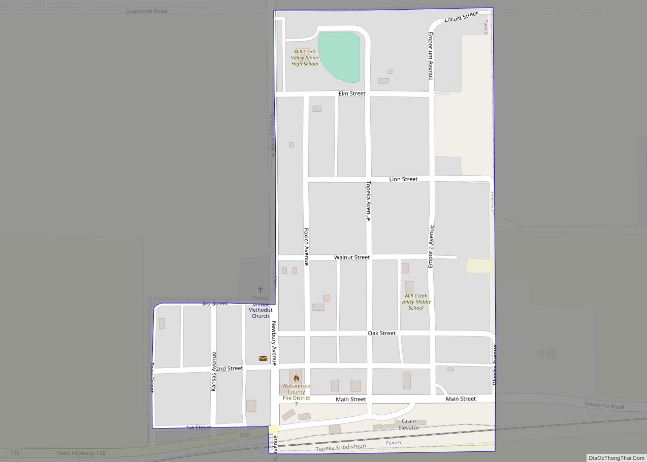
Paxico is a city in Wabaunsee County, Kansas, United States. As of the 2020 census, the population of the city was 210. Paxico city overview: Name: Paxico city LSAD Code: 25 LSAD Description: city (suffix) State: Kansas County: Wabaunsee County Founded: 1879 Incorporated: 1914 Elevation: 988 ft (301 m) Total Area: 0.14 sq mi (0.38 km²) Land Area: 0.14 sq mi (0.38 km²) ... Read more
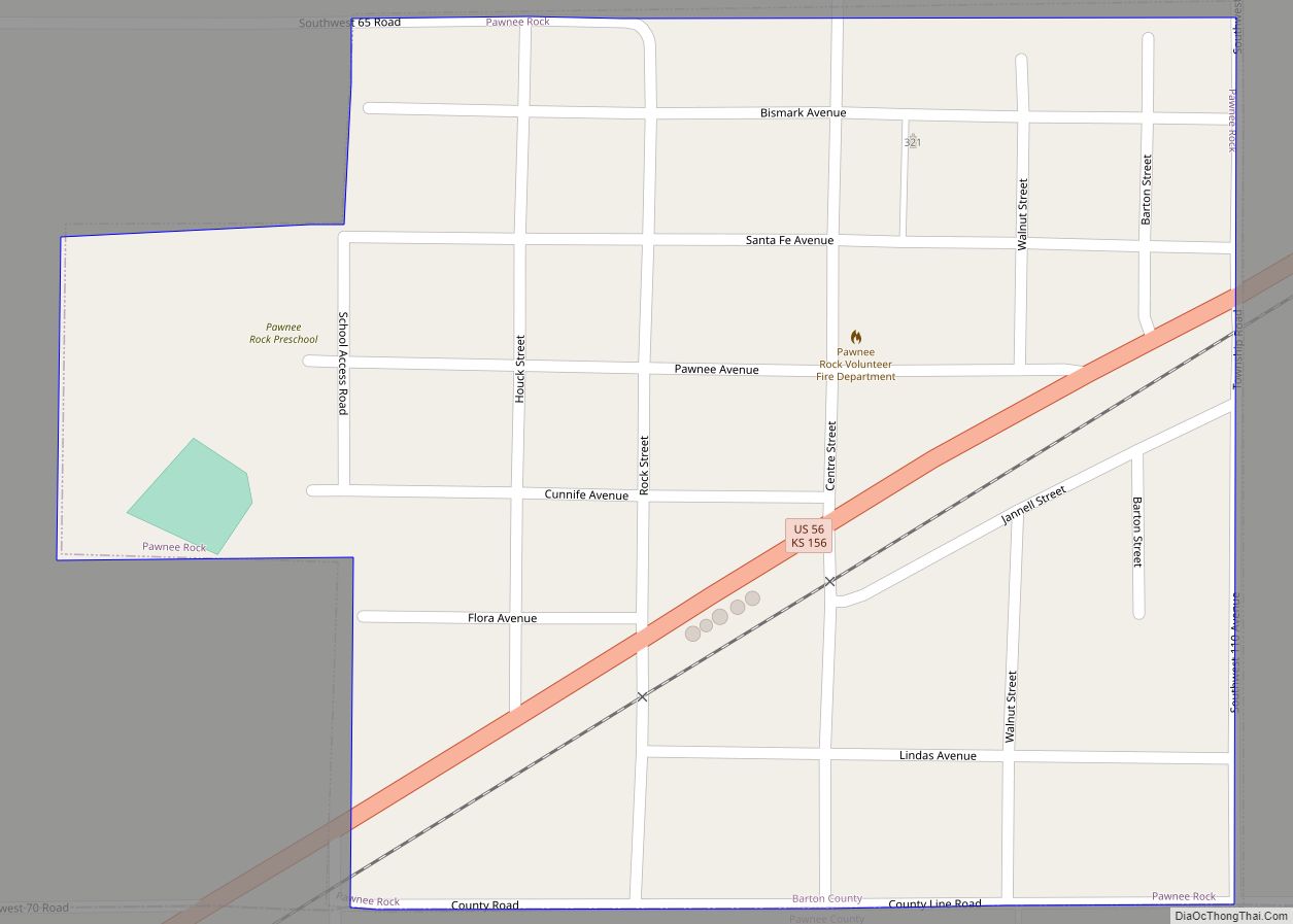
Pawnee Rock is a city in Barton County, Kansas, United States. As of the 2020 census, the population of the city was 193. Pawnee Rock city overview: Name: Pawnee Rock city LSAD Code: 25 LSAD Description: city (suffix) State: Kansas County: Barton County Founded: 1874 Incorporated: 1887 Elevation: 1,946 ft (593 m) Total Area: 0.28 sq mi (0.73 km²) Land ... Read more

