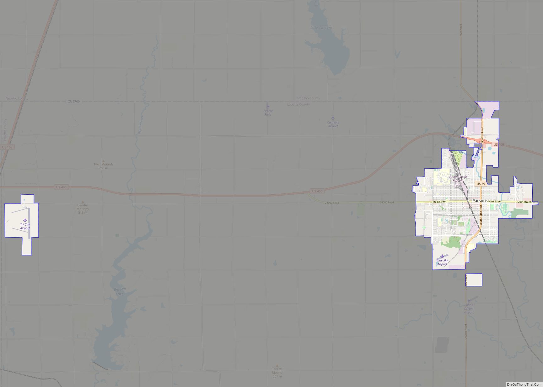
Parsons is a city in Labette County, Kansas, United States. As of the 2020 census, the population of the city was 9,600. It is the most populous city of Labette County, and the second-most populous city in the southeastern region of Kansas. It is home to Labette Community College and the Parsons State Hospital & Training Center.
| Name: | Parsons city |
|---|---|
| LSAD Code: | 25 |
| LSAD Description: | city (suffix) |
| State: | Kansas |
| County: | Labette County |
| Founded: | 1870 |
| Incorporated: | 1871 |
| Elevation: | 902 ft (275 m) |
| Total Area: | 10.72 sq mi (27.76 km²) |
| Land Area: | 10.63 sq mi (27.54 km²) |
| Water Area: | 0.09 sq mi (0.22 km²) |
| Total Population: | 9,600 |
| Population Density: | 900/sq mi (350/km²) |
| ZIP code: | 67357 |
| Area code: | 620 |
| FIPS code: | 2054675 |
| Website: | parsonsks.com |
Online Interactive Map
Click on ![]() to view map in "full screen" mode.
to view map in "full screen" mode.
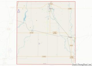
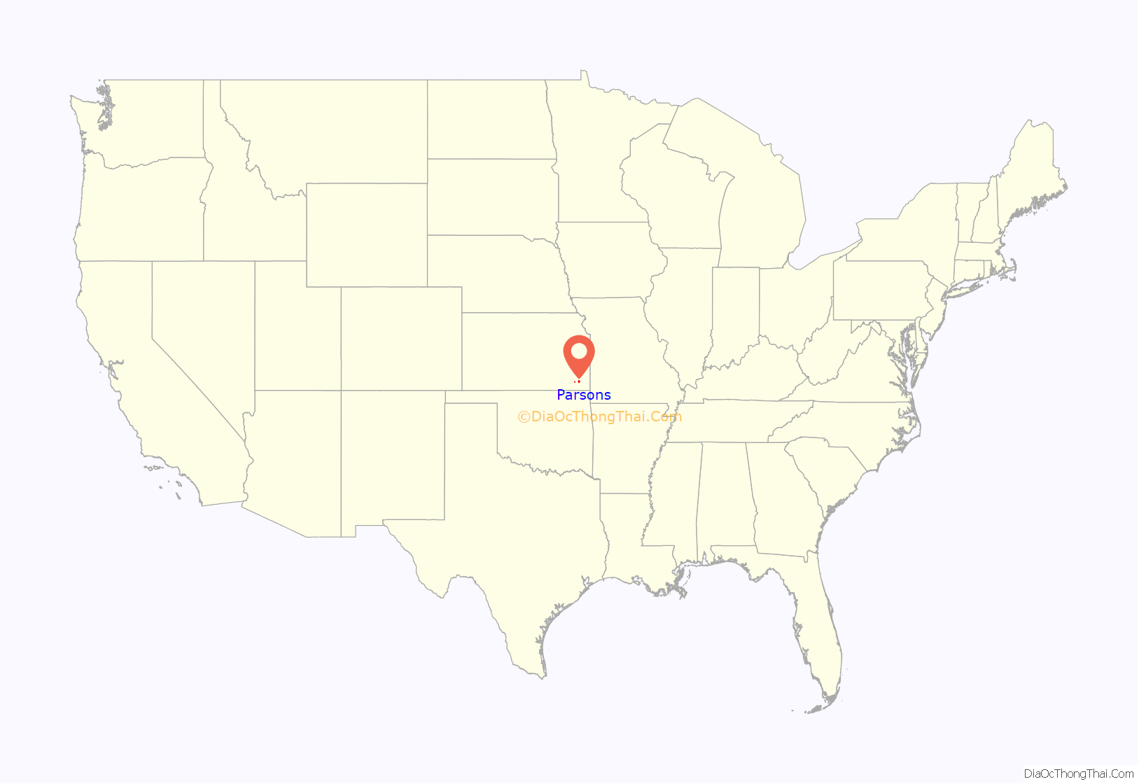
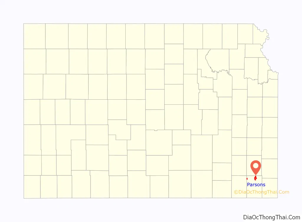
Parsons location map. Where is Parsons city?
History
Parsons was named after Levi Parsons, president of the Missouri-Kansas-Texas (Katy) Railroad. The town was founded in 1870 and incorporated the following year by the railroad. The location for the town was chosen because it was where the two branches of the railroad being built from Junction City, Kansas and Sedalia, Missouri would meet, and was on a ridge between Labette Creek and Little Labette Creek, which were soon dammed to provide a water source. The railroad commenced building a massive rail yard, foundry, and locomotive shop at Parsons, which for many years was the third largest railroad facility west of the Mississippi River with only Kansas City and Los Angeles being larger. Settlers from nearby towns uprooted and moved to Parsons, and new settlers arrived on every incoming train. Parsons soon became a major hub for several railroads including the Missouri Kansas & Texas Railroad, Parsons & Pacific Railroad, Kansas City & Pacific Railroad, and the Memphis, Kansas & Colorado Railroad. In the early part of the twentieth century, Parsons operated its own street car system, and also had an interurban electric railroad connecting it to the nearby cities of Cherryvale, Independence, Coffeyville, and Nowata. During World War II it was home to the Kansas Ordnance Plant, which later operated for some years as the Kansas Army Ammunition Plant. In Spring of 2005, the munitions plant was placed on the BRAC list for closure. The community has rallied behind the current plant operator, Day and Zimmerman, to keep the company on the grounds after closure and to keep those jobs and more in the Parsons area. (See link to “Great Plains Industrial Park” in “External Links”, below)
Hospital
Parsons is also home to the Parsons State Hospital & Training Center, which has been in operation since 1903 when it was opened as the Kansas State Hospital for Epileptics.
In 1957 the hospital was renamed Parsons State Hospital and Training Center. At that time it began providing programs for individuals with developmental disabilities. The Hospital occupies 43 buildings on 163 acres (0.66 km). The hospital also includes residential services, the University Center on Developmental Disabilities and the Parsons Research Center for the University of Kansas, the Special Purpose School of the Southeast Regional Education Service Center. The Southeast Kansas Agricultural Research Center of Kansas State University is also located on the grounds, as is the Alzheimer’s Association, Heart of America Chapter, Southeast Kansas Regional Office.
Library
The first library began as a subscription library in 1904 and was located in city hall. Parsons Public Library, a Carnegie library, opened on May 18, 1909. A new library opened on April 18, 1977, and the former library has since been renovated to become a visual and performing arts center.
Industry
The sale of Katy Industries to Union Pacific, in 1988, eventually saw the loss of scores of railroad jobs and, in effect, severed a major part of Parsons’ city history which stretched back to its 1871 incorporation. While, in return, the city received a million dollars to help it recover (and so that it would not file lengthy paperwork opposing the sale and thus delaying it), that money is kept in a fund by the city government, which uses the accrued interest on economic development projects. The only reminder of the Katy Railroad is now found in the local historical society’s museum, the annual Katy Days Festival and of course the tracks, over which trains now speed through Parsons. The Kansas Army Ammunition Plant also was down scaled in the 1980s.
2000-2020
On April 19, 2000, an F3 tornado cut a devastating path of destruction through the center of Parsons. About 700 homes were damaged and about 100 destroyed, about 60 businesses were damaged and 11 destroyed.
On June 5, 2006 the National Trust for Historic Preservation named Parsons a 2006 Great American Main Street Award winner for its successful efforts in revitalizing its downtown area through historic preservation. The award was presented during the 2006 National Main Streets Conference in New Orleans. Parsons was one of only five cities receiving the 2006 award.
Parsons is the home of Dwayne’s Photo, which became the last processor of K-14 Kodachrome film in the world and was the location of the final frame taken on the final roll of Kodachrome film produced. Parsons is featured prominently in the plot of the 2018 Netflix movie Kodachrome about a man who takes a road trip to develop a roll of Kodachrome film.
Film
The motion picture ZombieGeddon (2003) was filmed in Parsons in July 2002.
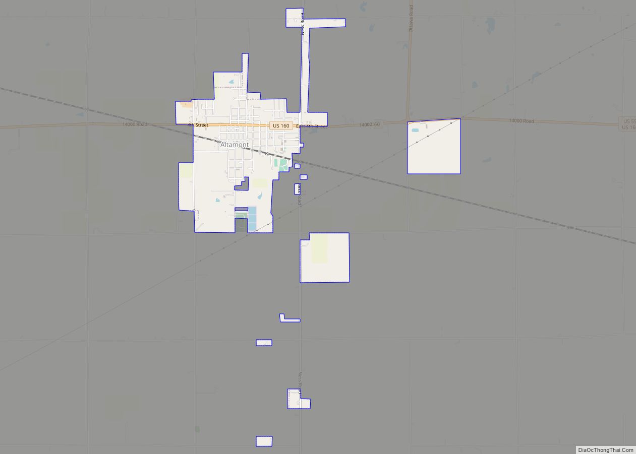
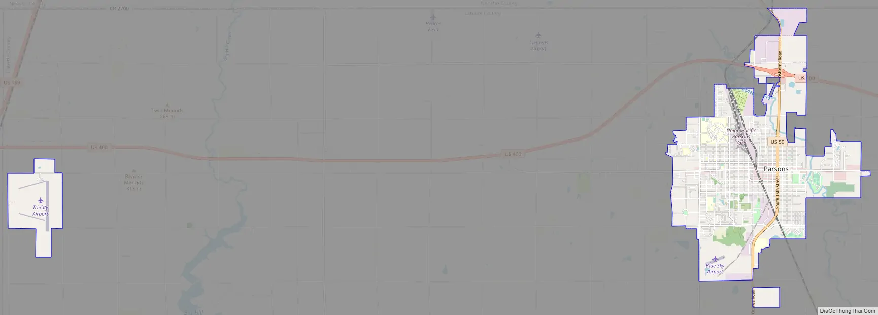
Parsons Road Map
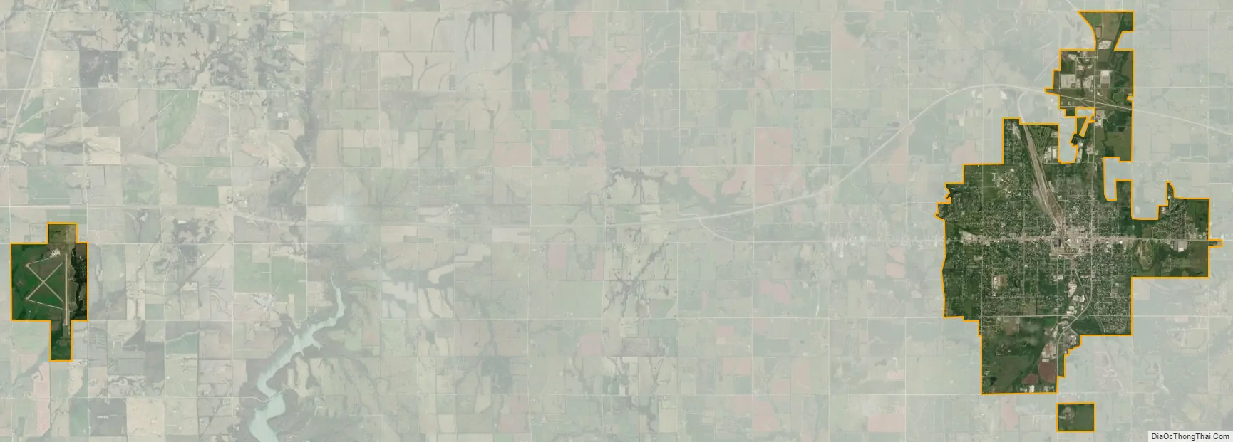
Parsons city Satellite Map
Geography
Parsons is located at 37°20′21″N 95°16′11″W / 37.33917°N 95.26972°W / 37.33917; -95.26972 (37.339070, -95.269747). The city is at the junction of U.S. Route 59 and U.S. Route 400. Along US-59, the city of Erie (the county seat of Neosho County) is 17 miles (27 km) to the north and Oswego (the county seat of Labette County) is 20 miles (32 km) south and east. Big Hill Lake is several miles to the west of the city, and Lake Parsons is situated northwest of the city.
The Kansas Army Ammunition Plant (KSAAP) is located southeast of the city. The facility was completed in 1942 to support World War II operations and consists of 21 separate facilities over 13,727 acres (55.55 km). The installation is actively used as a munitions loading, assembly, and packing facility.
According to the United States Census Bureau, the city has a total area of 10.70 square miles (27.71 km), of which 10.61 square miles (27.48 km) is land and 0.09 square miles (0.23 km) is water.
Climate
See also
Map of Kansas State and its subdivision:- Allen
- Anderson
- Atchison
- Barber
- Barton
- Bourbon
- Brown
- Butler
- Chase
- Chautauqua
- Cherokee
- Cheyenne
- Clark
- Clay
- Cloud
- Coffey
- Comanche
- Cowley
- Crawford
- Decatur
- Dickinson
- Doniphan
- Douglas
- Edwards
- Elk
- Ellis
- Ellsworth
- Finney
- Ford
- Franklin
- Geary
- Gove
- Graham
- Grant
- Gray
- Greeley
- Greenwood
- Hamilton
- Harper
- Harvey
- Haskell
- Hodgeman
- Jackson
- Jefferson
- Jewell
- Johnson
- Kearny
- Kingman
- Kiowa
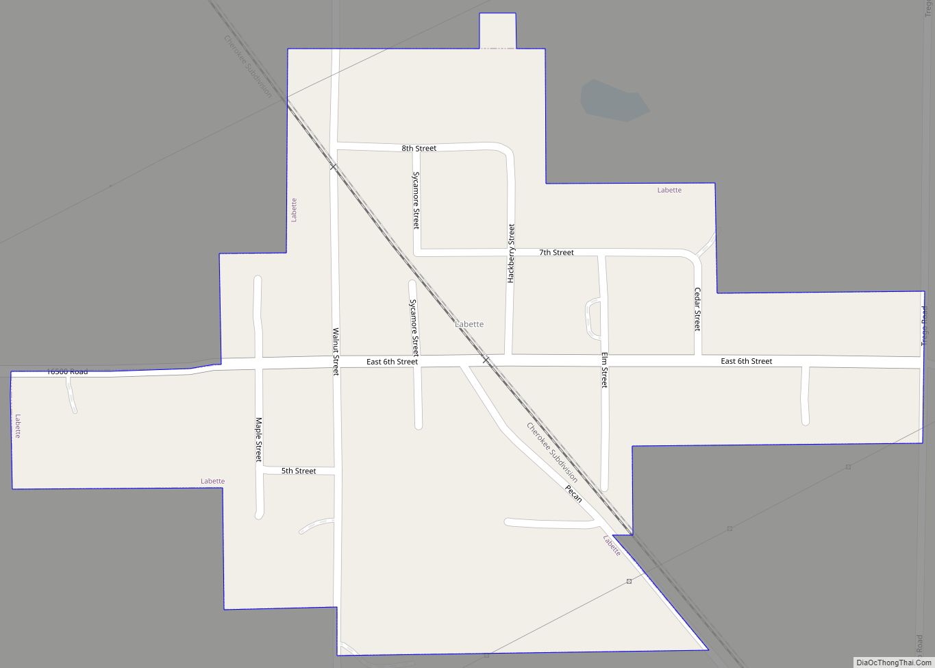
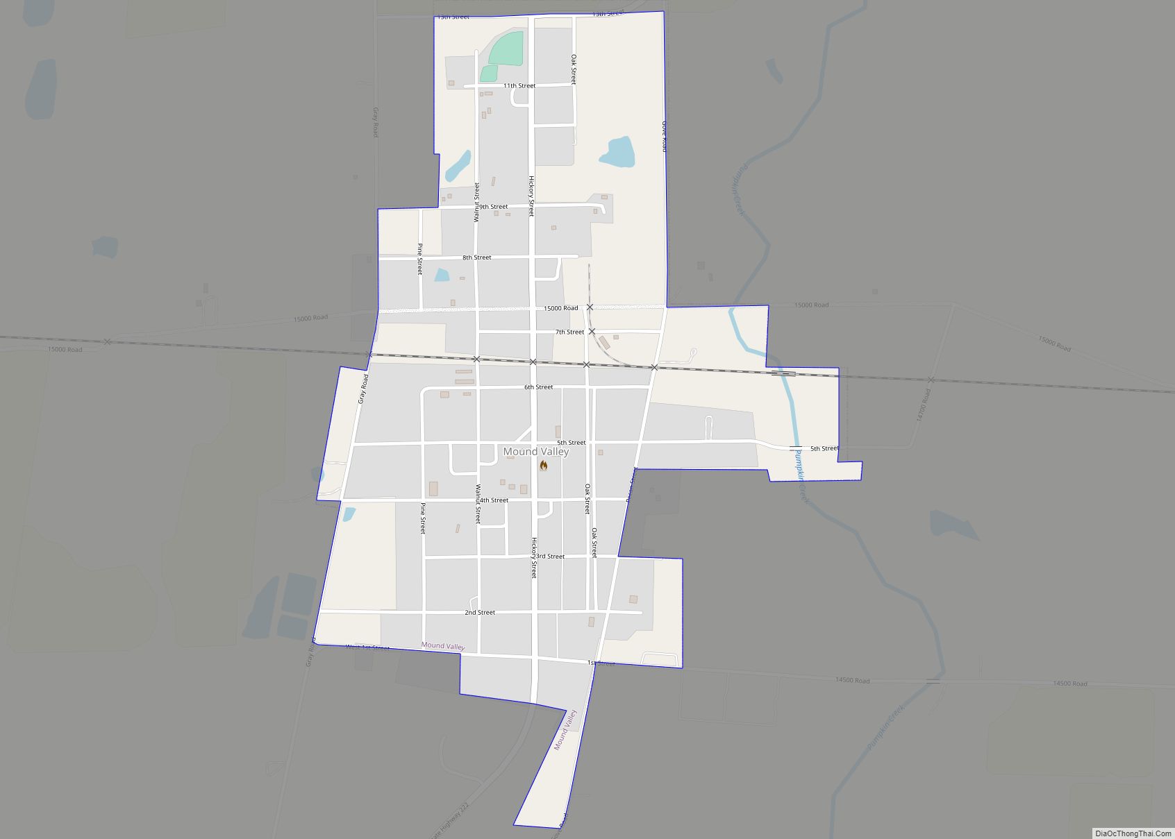
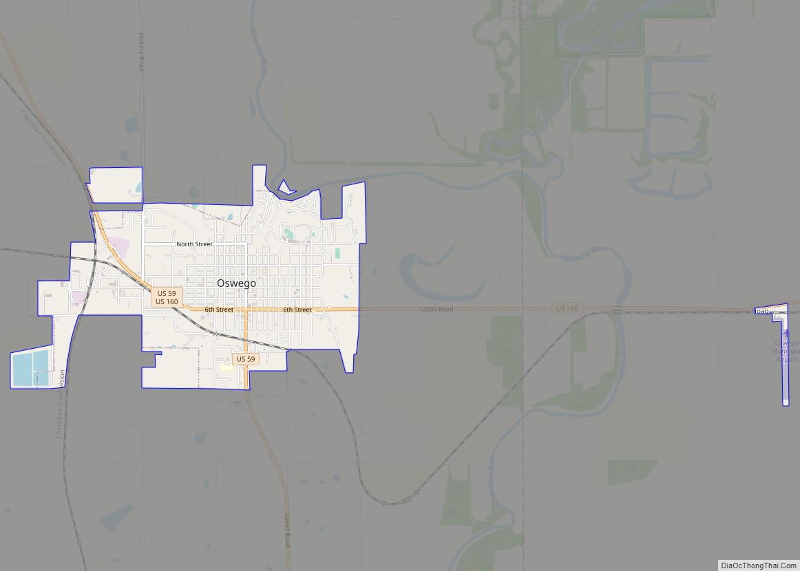
- Labette
- Lane
- Leavenworth
- Lincoln
- Linn
- Logan
- Lyon
- Marion
- Marshall
- McPherson
- Meade
- Miami
- Mitchell
- Montgomery
- Morris
- Morton
- Nemaha
- Neosho
- Ness
- Norton
- Osage
- Osborne
- Ottawa
- Pawnee
- Phillips
- Pottawatomie
- Pratt
- Rawlins
- Reno
- Republic
- Rice
- Riley
- Rooks
- Rush
- Russell
- Saline
- Scott
- Sedgwick
- Seward
- Shawnee
- Sheridan
- Sherman
- Smith
- Stafford
- Stanton
- Stevens
- Sumner
- Thomas
- Trego
- Wabaunsee
- Wallace
- Washington
- Wichita
- Wilson
- Woodson
- Wyandotte
- Alabama
- Alaska
- Arizona
- Arkansas
- California
- Colorado
- Connecticut
- Delaware
- District of Columbia
- Florida
- Georgia
- Hawaii
- Idaho
- Illinois
- Indiana
- Iowa
- Kansas
- Kentucky
- Louisiana
- Maine
- Maryland
- Massachusetts
- Michigan
- Minnesota
- Mississippi
- Missouri
- Montana
- Nebraska
- Nevada
- New Hampshire
- New Jersey
- New Mexico
- New York
- North Carolina
- North Dakota
- Ohio
- Oklahoma
- Oregon
- Pennsylvania
- Rhode Island
- South Carolina
- South Dakota
- Tennessee
- Texas
- Utah
- Vermont
- Virginia
- Washington
- West Virginia
- Wisconsin
- Wyoming