Park City is a city in Sedgwick County, Kansas, United States and a suburb of Wichita. As of the 2020 census, the population of the city was 8,333.
| Name: | Park City city |
|---|---|
| LSAD Code: | 25 |
| LSAD Description: | city (suffix) |
| State: | Kansas |
| County: | Sedgwick County |
| Founded: | 1953 |
| Incorporated: | 1980 |
| Elevation: | 1,365 ft (416 m) |
| Total Area: | 9.82 sq mi (25.43 km²) |
| Land Area: | 9.80 sq mi (25.37 km²) |
| Water Area: | 0.02 sq mi (0.05 km²) |
| Total Population: | 8,333 |
| Population Density: | 850/sq mi (330/km²) |
| Area code: | 316 |
| FIPS code: | 2054450 |
| Website: | parkcityks.com |
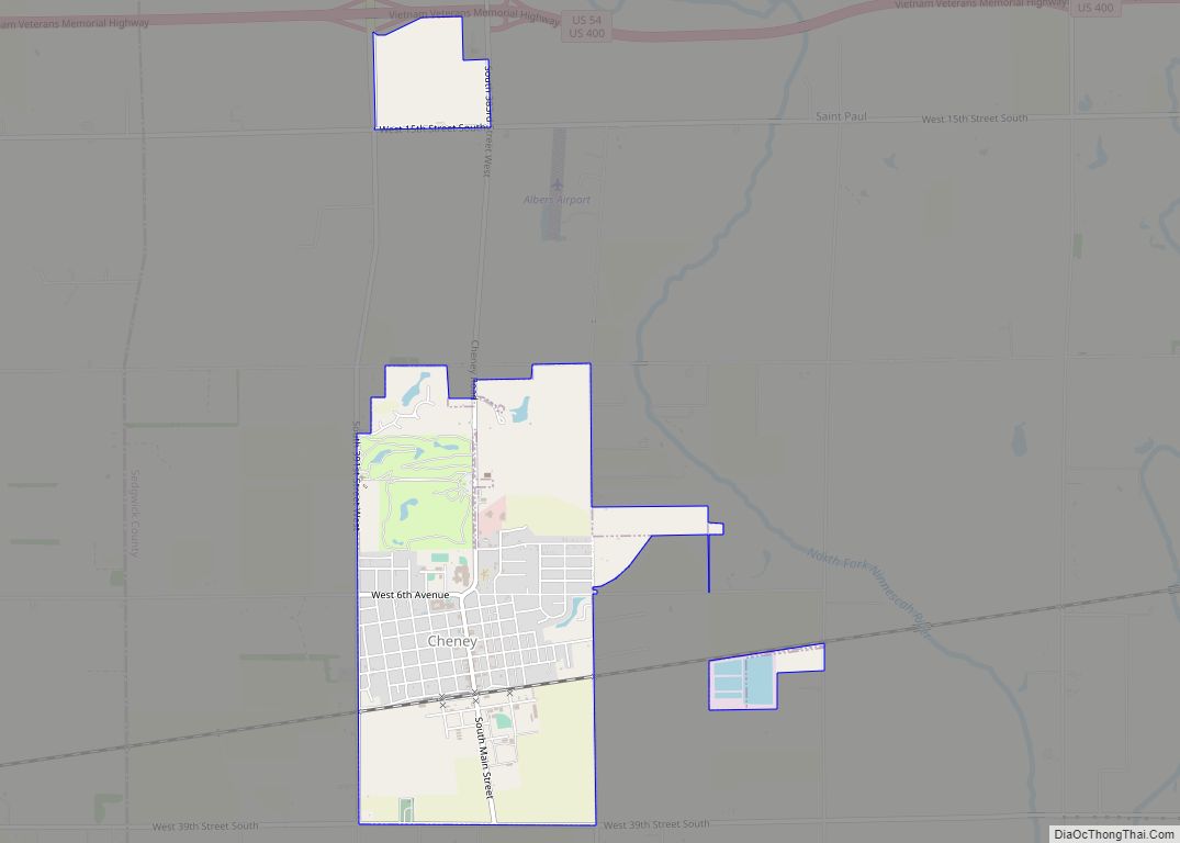
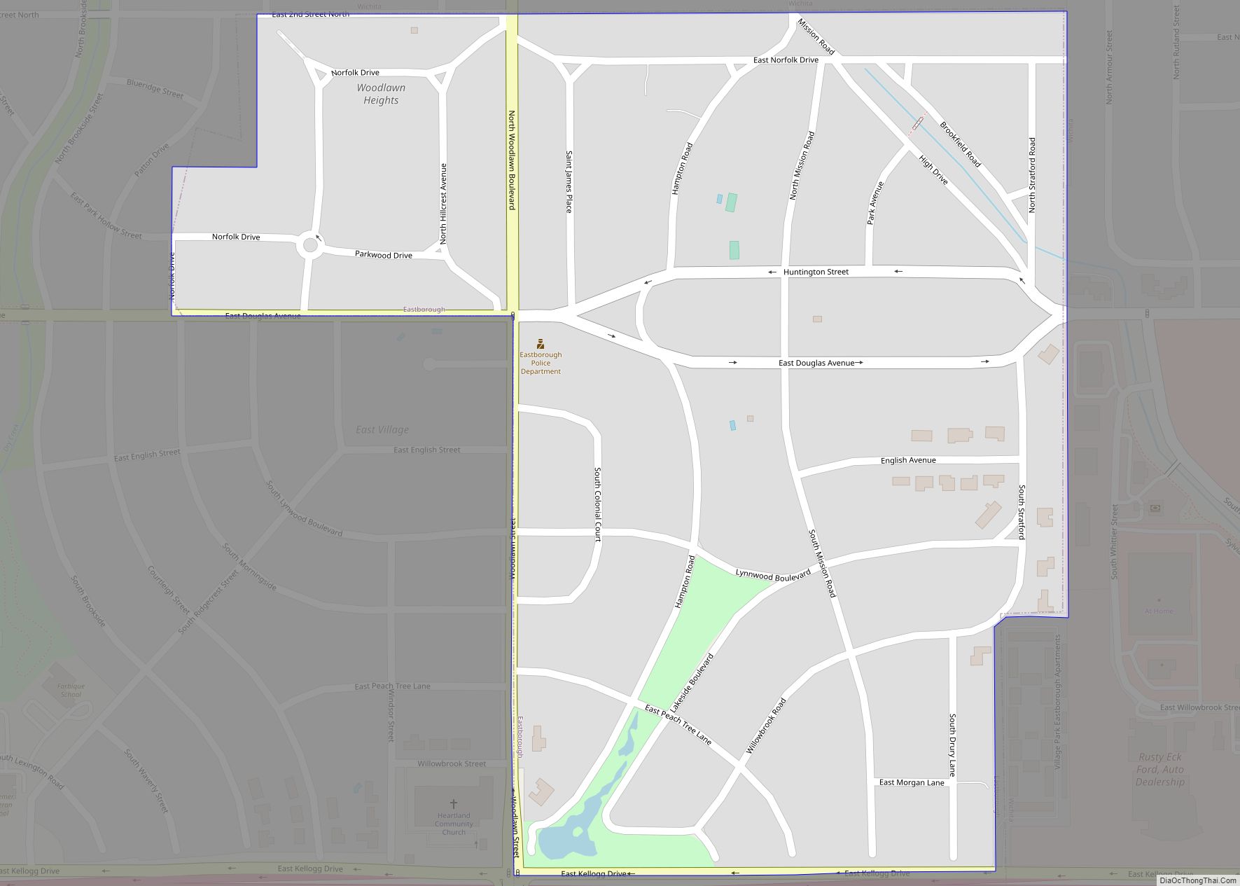
Online Interactive Map
Click on ![]() to view map in "full screen" mode.
to view map in "full screen" mode.
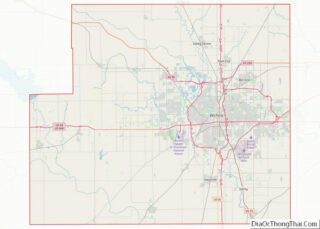
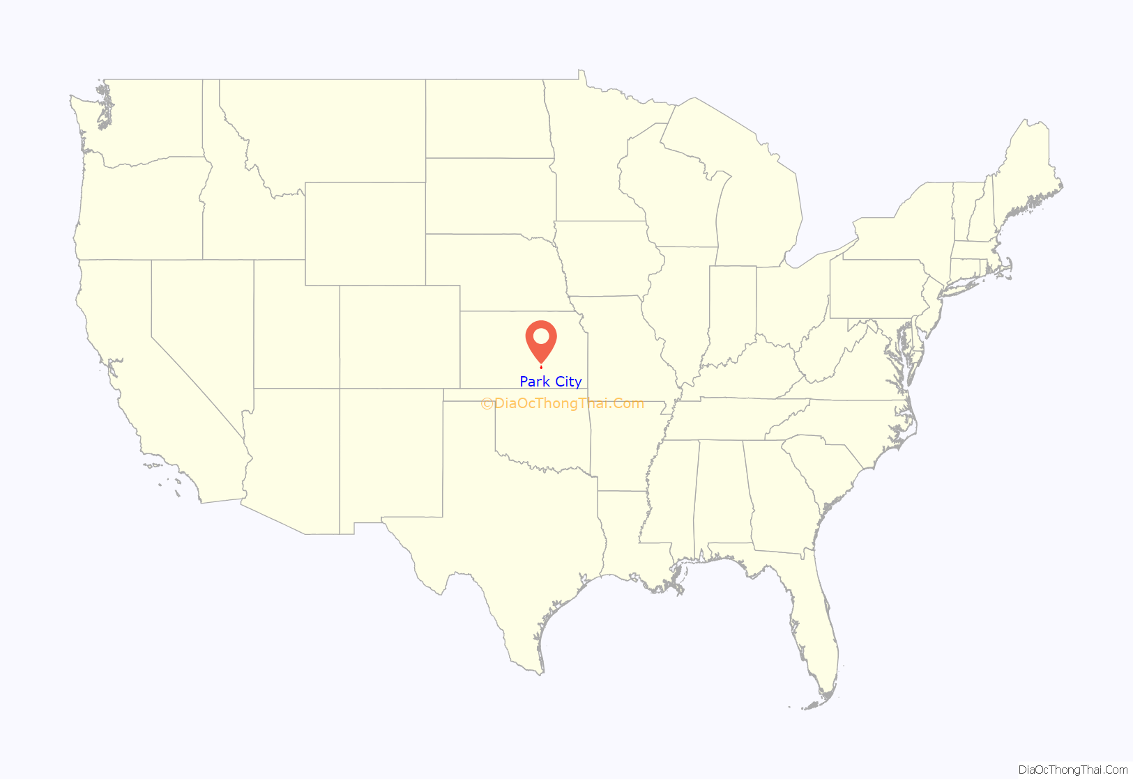
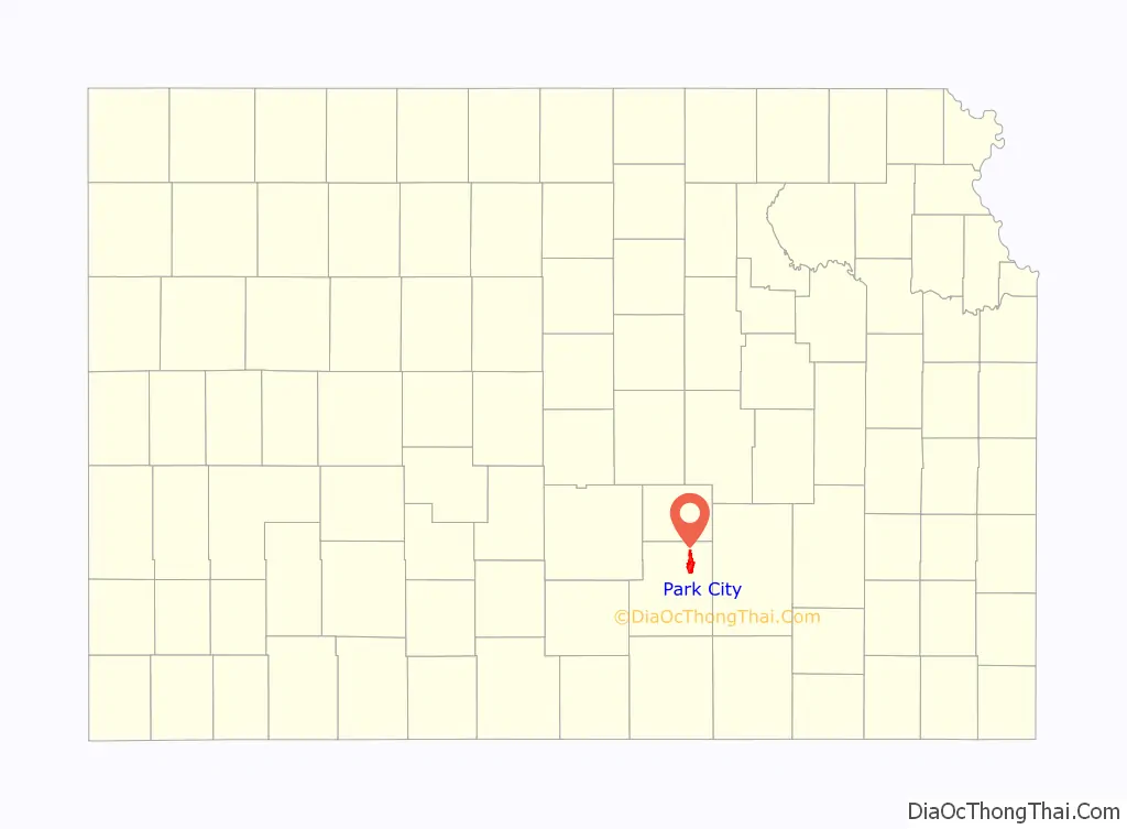
Park City location map. Where is Park City city?
History
The first Park City was founded in 1870. Located 14 miles (23 km) to the northwest of Wichita, it was at first a formidable rival, but it risked all on the county seat and lost. When the railroad bypassed it and came to Wichita, the town died, and its houses were moved to Wichita, Newton, and Hutchinson.
The current Park City began as the Park City Improvement District in 1953. The District grew from a quarter section of farmland purchased by developers into a 3,321-acre (13.44 km) community. After the approval of the Sedgwick County Board of Commissioners, Park City became a third class city on November 26, 1980. The new city held a special election on February 17, 1981, in which Raymond J. Reiss was elected mayor along with five council members to form the first governing body.
The first and only newspaper Park City has had was The Park City Newsdropper. It ran for a year in 1980 and its publisher was Jerrie Molina, the city’s first City Clerk.
Hartman Arena, a privately constructed and owned arena from local developer Wink Hartman, opened in March 2009 and serves as the home of the Wichita Wings indoor soccer team.
In 2021, Amazon built a 1 million-square-foot fulfillment center at 71st St. North and N. Broadway.
Park City Road Map
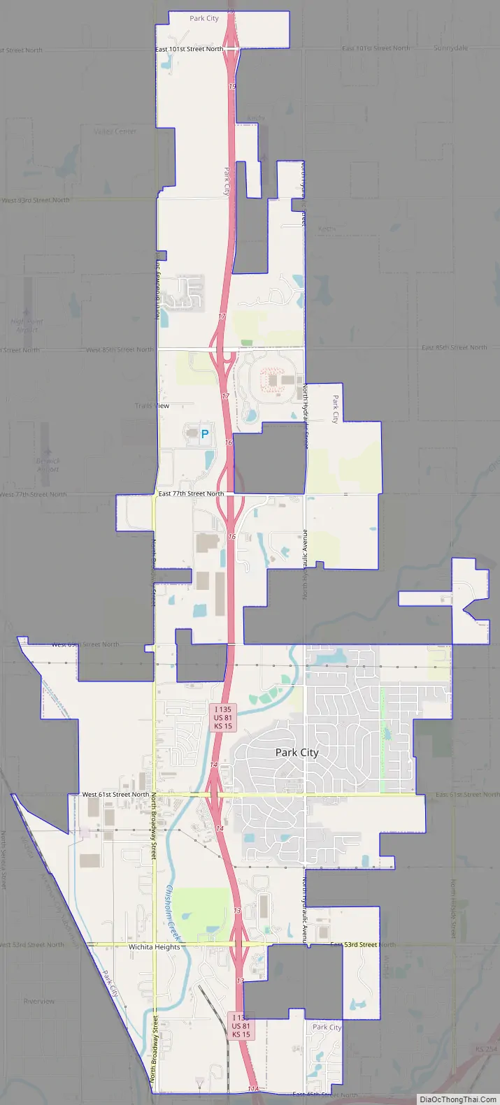
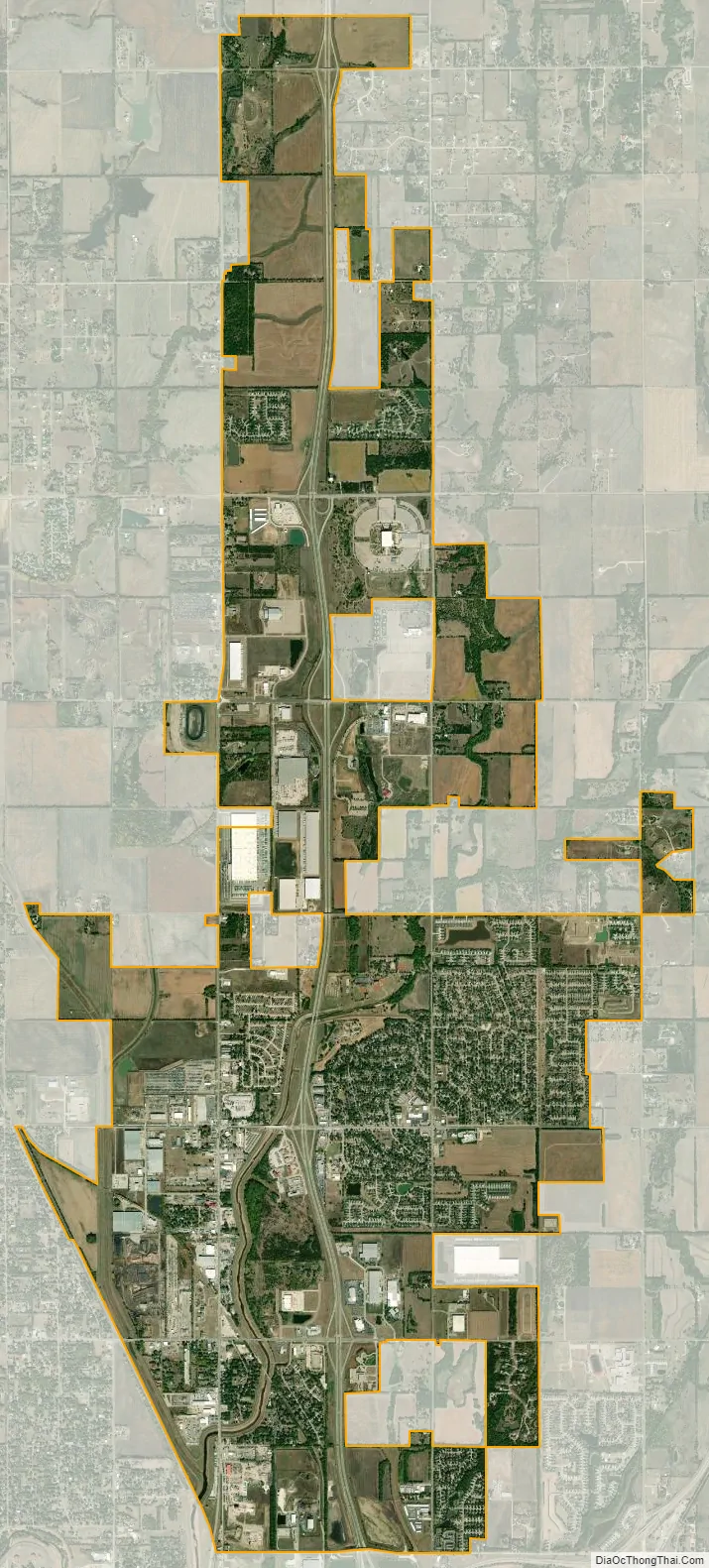
Park City city Satellite Map
Geography
Park City is located at 37°47′57″N 97°19′20″W / 37.79917°N 97.32222°W / 37.79917; -97.32222 (37.799119, -97.322110). According to the United States Census Bureau, the city has a total area of 9.51 square miles (24.63 km), of which, 9.49 square miles (24.58 km) is land and 0.02 square miles (0.05 km) is water.
See also
Map of Kansas State and its subdivision:- Allen
- Anderson
- Atchison
- Barber
- Barton
- Bourbon
- Brown
- Butler
- Chase
- Chautauqua
- Cherokee
- Cheyenne
- Clark
- Clay
- Cloud
- Coffey
- Comanche
- Cowley
- Crawford
- Decatur
- Dickinson
- Doniphan
- Douglas
- Edwards
- Elk
- Ellis
- Ellsworth
- Finney
- Ford
- Franklin
- Geary
- Gove
- Graham
- Grant
- Gray
- Greeley
- Greenwood
- Hamilton
- Harper
- Harvey
- Haskell
- Hodgeman
- Jackson
- Jefferson
- Jewell
- Johnson
- Kearny
- Kingman
- Kiowa
- Labette
- Lane
- Leavenworth
- Lincoln
- Linn
- Logan
- Lyon
- Marion
- Marshall
- McPherson
- Meade
- Miami
- Mitchell
- Montgomery
- Morris
- Morton
- Nemaha
- Neosho
- Ness
- Norton
- Osage
- Osborne
- Ottawa
- Pawnee
- Phillips
- Pottawatomie
- Pratt
- Rawlins
- Reno
- Republic
- Rice
- Riley
- Rooks
- Rush
- Russell
- Saline
- Scott
- Sedgwick
- Seward
- Shawnee
- Sheridan
- Sherman
- Smith
- Stafford
- Stanton
- Stevens
- Sumner
- Thomas
- Trego
- Wabaunsee
- Wallace
- Washington
- Wichita
- Wilson
- Woodson
- Wyandotte
- Alabama
- Alaska
- Arizona
- Arkansas
- California
- Colorado
- Connecticut
- Delaware
- District of Columbia
- Florida
- Georgia
- Hawaii
- Idaho
- Illinois
- Indiana
- Iowa
- Kansas
- Kentucky
- Louisiana
- Maine
- Maryland
- Massachusetts
- Michigan
- Minnesota
- Mississippi
- Missouri
- Montana
- Nebraska
- Nevada
- New Hampshire
- New Jersey
- New Mexico
- New York
- North Carolina
- North Dakota
- Ohio
- Oklahoma
- Oregon
- Pennsylvania
- Rhode Island
- South Carolina
- South Dakota
- Tennessee
- Texas
- Utah
- Vermont
- Virginia
- Washington
- West Virginia
- Wisconsin
- Wyoming