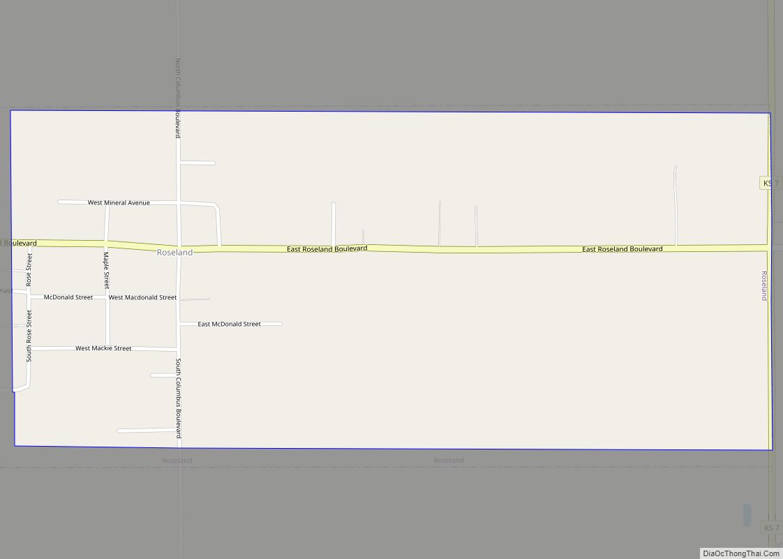
Roseland is a city in Cherokee County, Kansas, United States. As of the 2020 census, the population of the city was 76. Roseland city overview: Name: Roseland city LSAD Code: 25 LSAD Description: city (suffix) State: Kansas County: Cherokee County Incorporated: 1906 Elevation: 929 ft (283 m) Total Area: 0.73 sq mi (1.89 km²) Land Area: 0.73 sq mi (1.89 km²) Water Area: ... Read more
Kansas Cities and Places
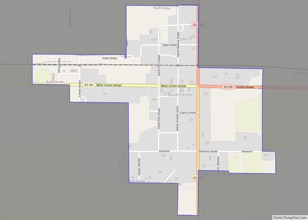
Rush Center is a city in Rush County, Kansas, United States. As of the 2020 census, the population of the city was 141. Rush Center city overview: Name: Rush Center city LSAD Code: 25 LSAD Description: city (suffix) State: Kansas County: Rush County Founded: 1870s Incorporated: 1959 Elevation: 1,995 ft (608 m) Total Area: 0.36 sq mi (0.93 km²) Land ... Read more
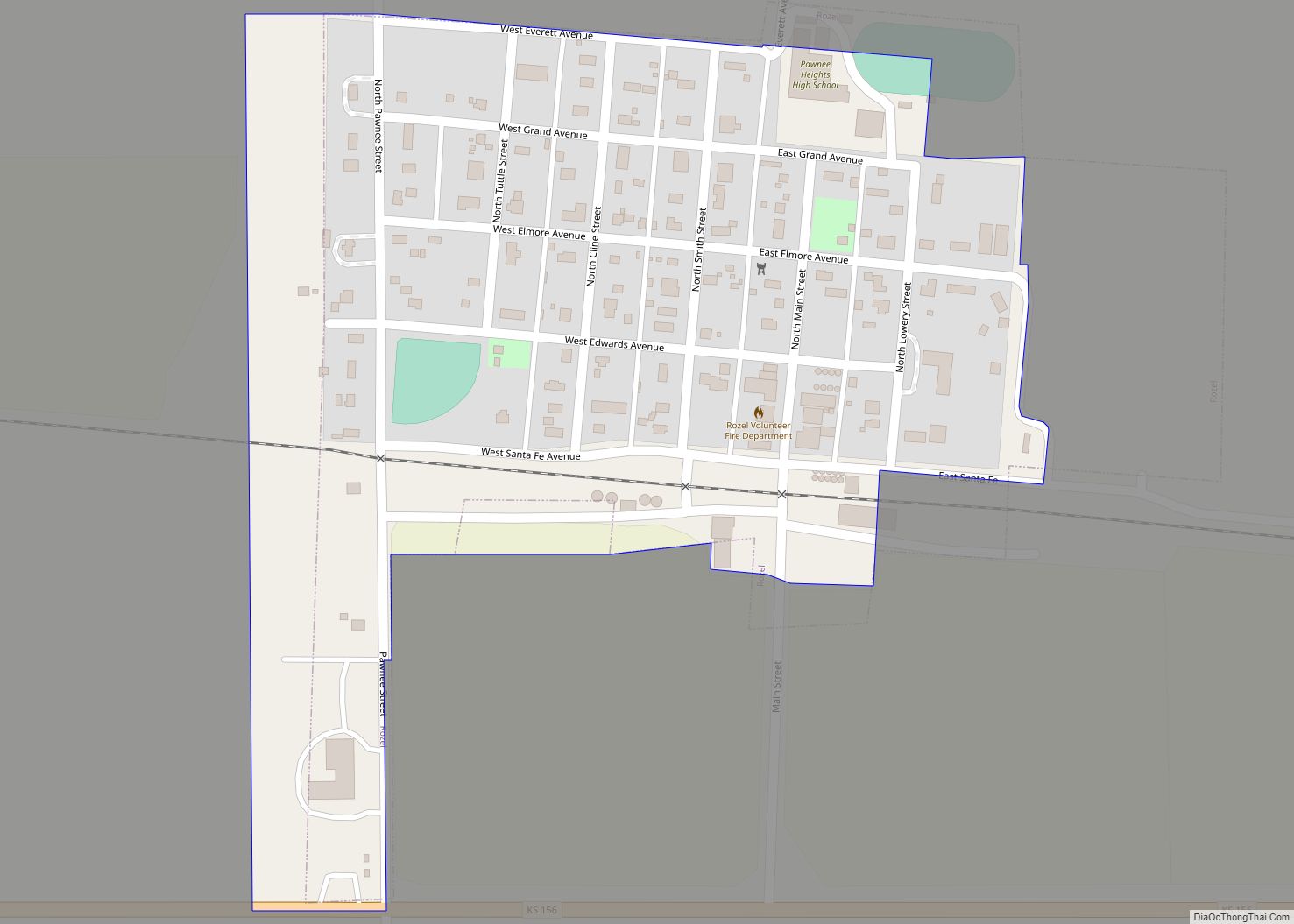
Rozel is a city in Pawnee County, Kansas, United States. As of the 2020 census, the population of the city was 102. Rozel city overview: Name: Rozel city LSAD Code: 25 LSAD Description: city (suffix) State: Kansas County: Pawnee County Founded: 1890s Incorporated: 1929 Elevation: 2,074 ft (632 m) Total Area: 0.19 sq mi (0.50 km²) Land Area: 0.19 sq mi (0.50 km²) ... Read more
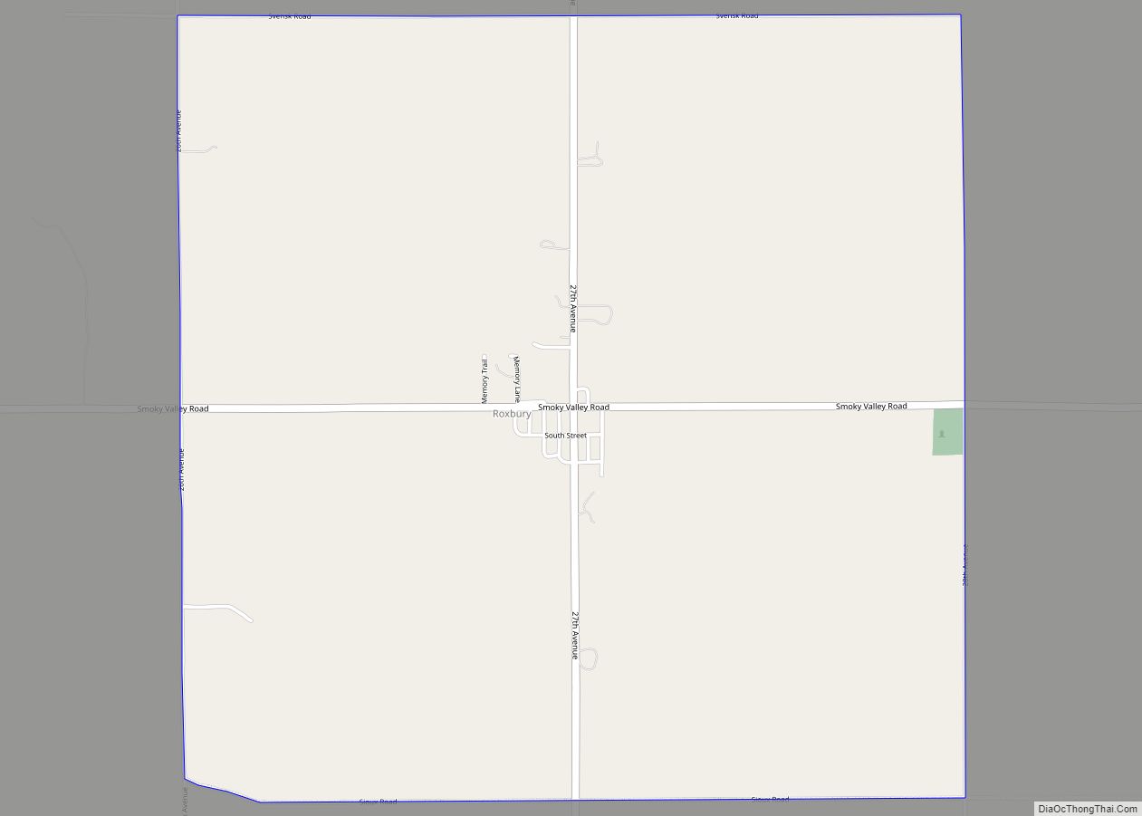
Roxbury is an unincorporated community in McPherson County, Kansas, United States. As of the 2020 census, the population of the community and nearby areas was 70. It is located about 10.5 miles east of Interstate 135. Roxbury CDP overview: Name: Roxbury CDP LSAD Code: 57 LSAD Description: CDP (suffix) State: Kansas County: McPherson County Elevation: ... Read more
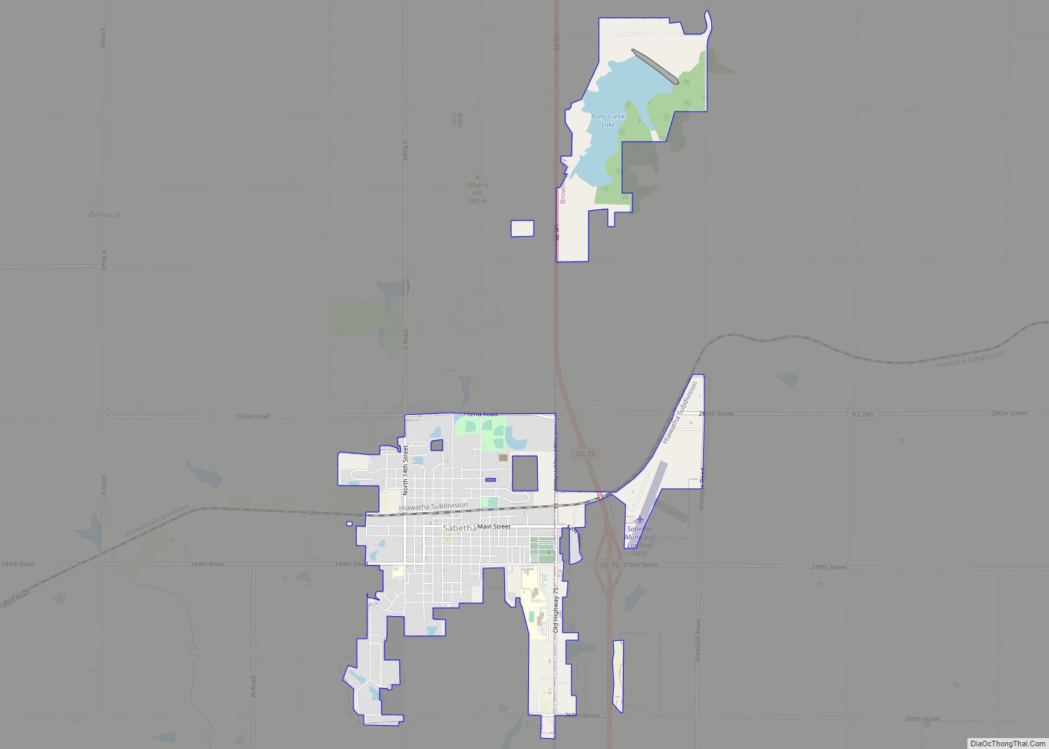
Sabetha is a city in Brown and Nemaha counties in the U.S. state of Kansas. As of the 2020 census, the population of the city was 2,545. Sabetha city overview: Name: Sabetha city LSAD Code: 25 LSAD Description: city (suffix) State: Kansas County: Brown County, Nemaha County Founded: 1854 Incorporated: 1874 Elevation: 1,319 ft (402 m) Total ... Read more
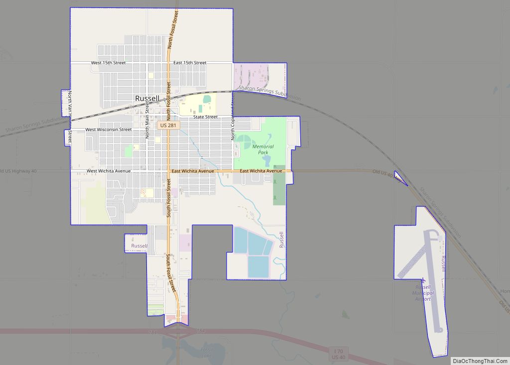
Russell is the most populous city in and the county seat of Russell County, Kansas, United States. As of the 2020 census, the population of the city was 4,401. Russell city overview: Name: Russell city LSAD Code: 25 LSAD Description: city (suffix) State: Kansas County: Russell County Founded: 1871 Incorporated: 1872 Elevation: 1,828 ft (557 m) Total ... Read more
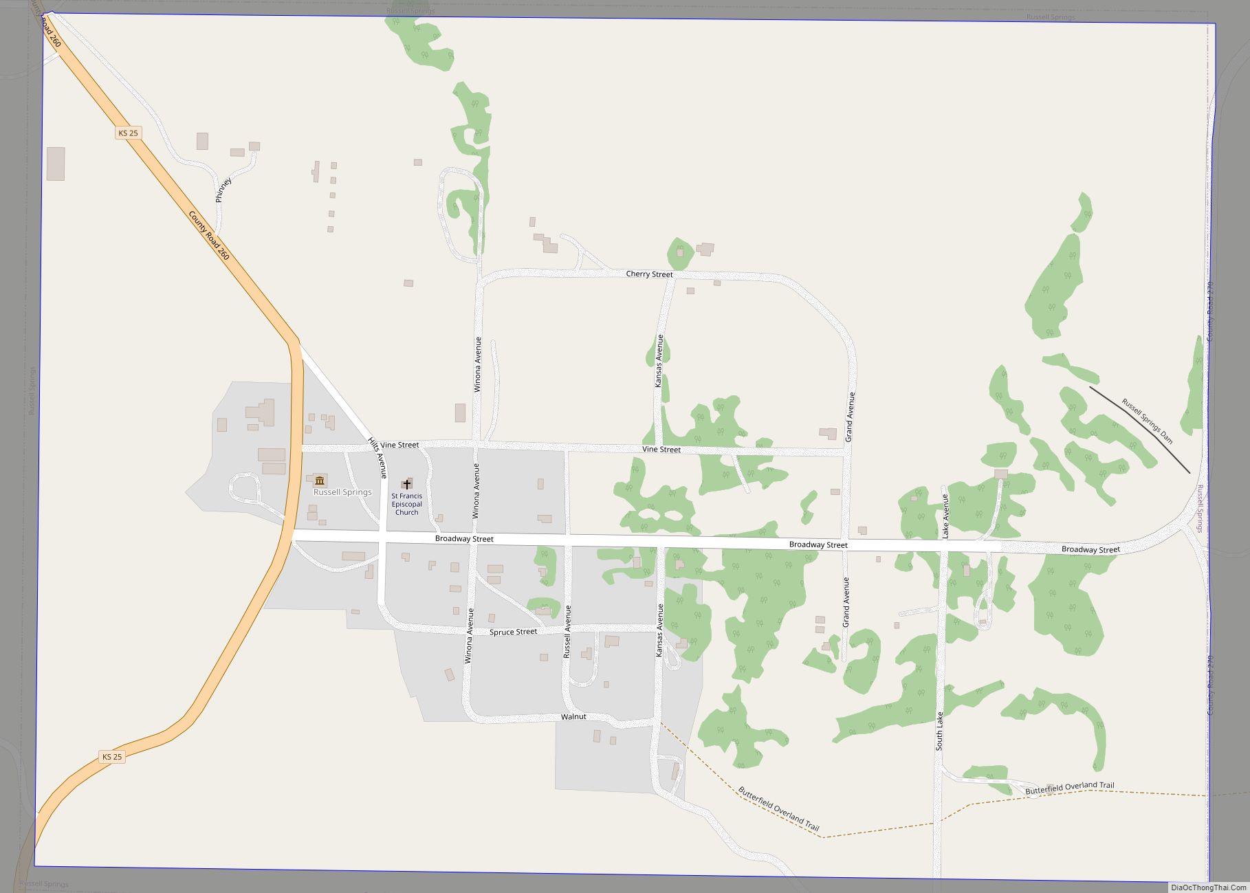
Russell Springs is a city in Logan County, Kansas, United States. As of the 2020 census, the population of the city was 26. Russell Springs city overview: Name: Russell Springs city LSAD Code: 25 LSAD Description: city (suffix) State: Kansas County: Logan County Founded: 1865 Incorporated: 1888 Elevation: 2,966 ft (904 m) Total Area: 0.71 sq mi (1.83 km²) Land ... Read more
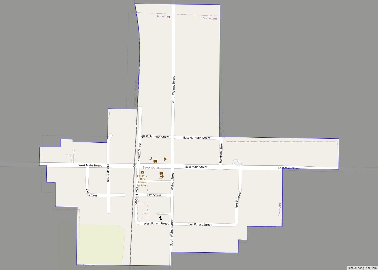
Savonburg is a city in Allen County, Kansas, United States. As of the 2020 census, the population of the city was 74. Savonburg city overview: Name: Savonburg city LSAD Code: 25 LSAD Description: city (suffix) State: Kansas County: Allen County Founded: 1879 Incorporated: 1902 Elevation: 1,053 ft (321 m) Total Area: 0.19 sq mi (0.50 km²) Land Area: 0.19 sq mi (0.50 km²) ... Read more
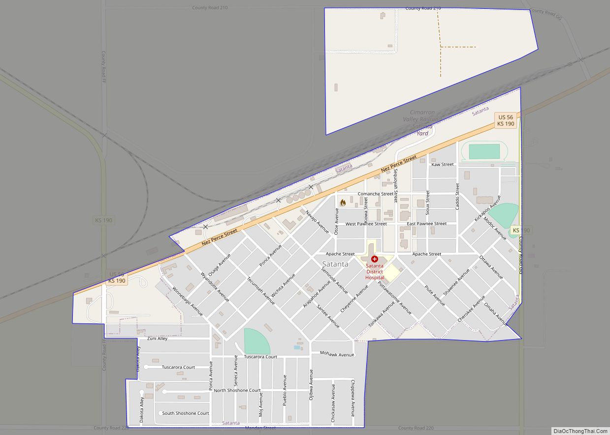
Satanta is a city in Haskell County, Kansas, United States. As of the 2020 census, the population of the city was 1,092. Every year there is a celebration of Satanta’s Indian heritage called Satanta Day. Satanta city overview: Name: Satanta city LSAD Code: 25 LSAD Description: city (suffix) State: Kansas County: Haskell County Founded: 1910s ... Read more
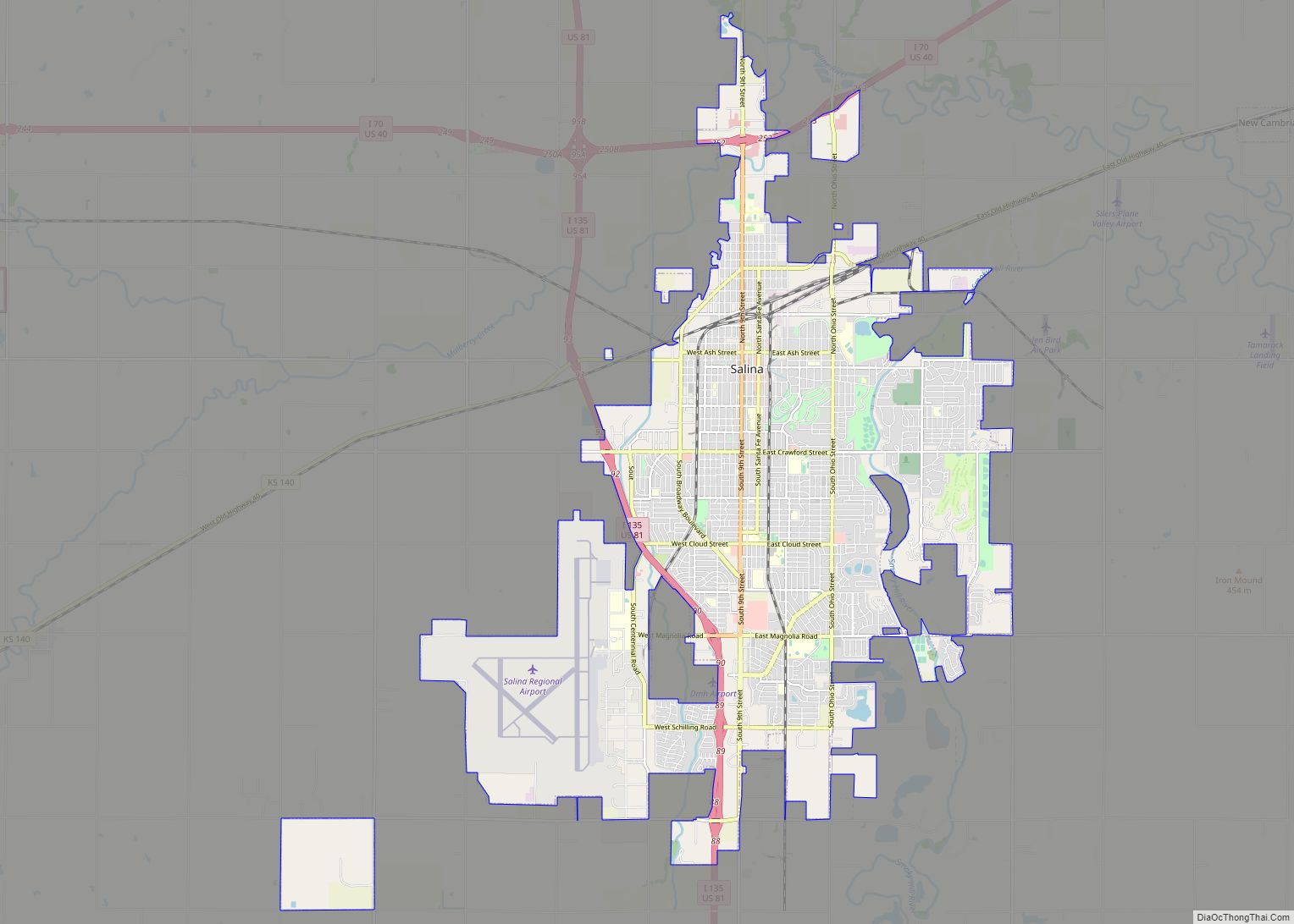
Salina /səˈlaɪnə/ is a city in and the county seat of Saline County, Kansas, United States. As of the 2020 census, the population was 46,889. In the early 1800s, the Kanza tribal land reached eastward from the middle of the Kansas Territory. In 1858, settlers from Lawrence founded the Salina Town Company with a wagon ... Read more
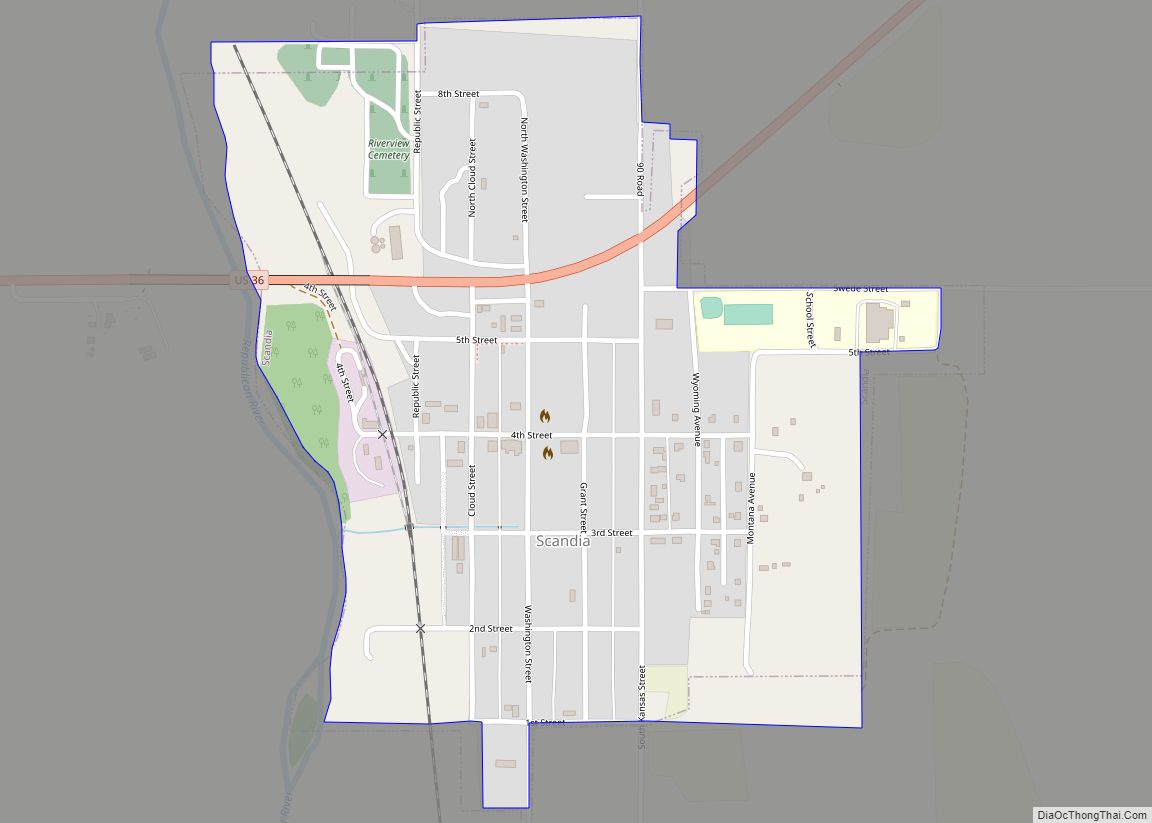
Scandia is a city in Republic County, Kansas, United States. As of the 2020 census, the population of the city was 344. Scandia city overview: Name: Scandia city LSAD Code: 25 LSAD Description: city (suffix) State: Kansas County: Republic County Founded: 1868 Incorporated: 1879 Elevation: 1,440 ft (440 m) Total Area: 0.47 sq mi (1.22 km²) Land Area: 0.47 sq mi (1.22 km²) ... Read more
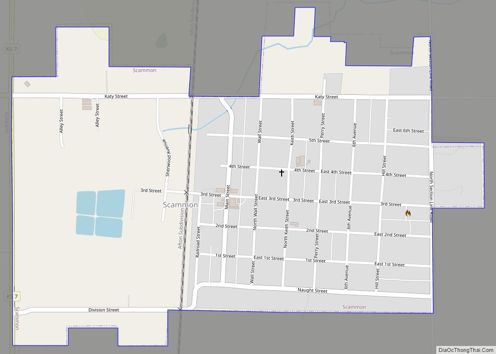
Scammon is a city in Cherokee County, Kansas, United States. As of the 2020 census, the population of the city was 376. Scammon city overview: Name: Scammon city LSAD Code: 25 LSAD Description: city (suffix) State: Kansas County: Cherokee County Founded: 1884 Incorporated: 1888 Elevation: 902 ft (275 m) Total Area: 0.63 sq mi (1.63 km²) Land Area: 0.63 sq mi (1.62 km²) ... Read more
