Sabetha is a city in Brown and Nemaha counties in the U.S. state of Kansas. As of the 2020 census, the population of the city was 2,545.
| Name: | Sabetha city |
|---|---|
| LSAD Code: | 25 |
| LSAD Description: | city (suffix) |
| State: | Kansas |
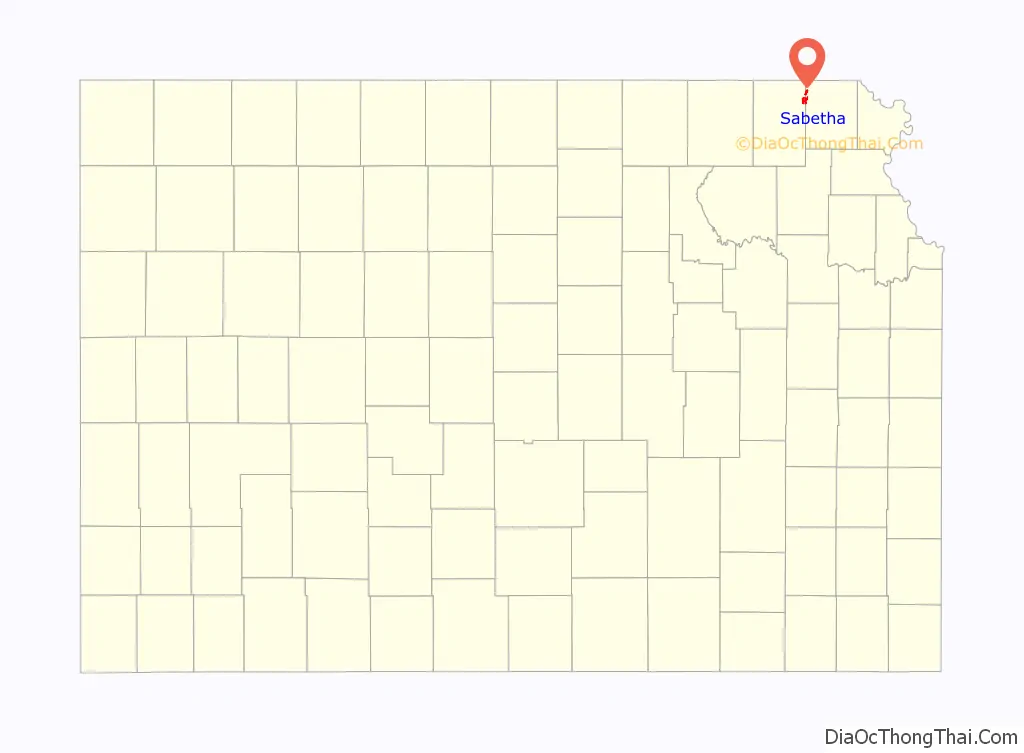
| County: | Brown County, Nemaha County |
| Founded: | 1854 |
| Incorporated: | 1874 |
| Elevation: | 1,319 ft (402 m) |
| Total Area: | 3.20 sq mi (8.30 km²) |
| Land Area: | 3.19 sq mi (8.26 km²) |
| Water Area: | 0.01 sq mi (0.03 km²) |
| Total Population: | 2,545 |
| Population Density: | 800/sq mi (310/km²) |
| ZIP code: | 66534 |
| Area code: | 785 |
| FIPS code: | 2062025 |
| Website: | cityofsabetha.com |
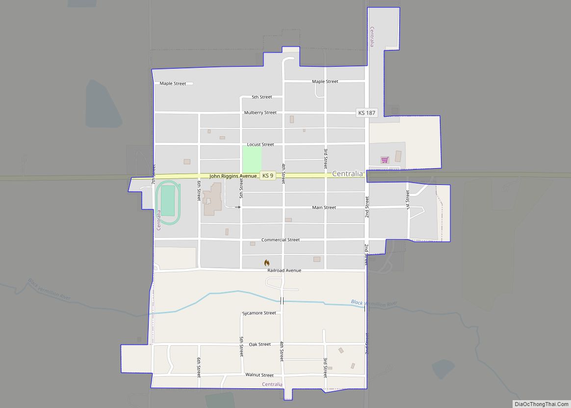
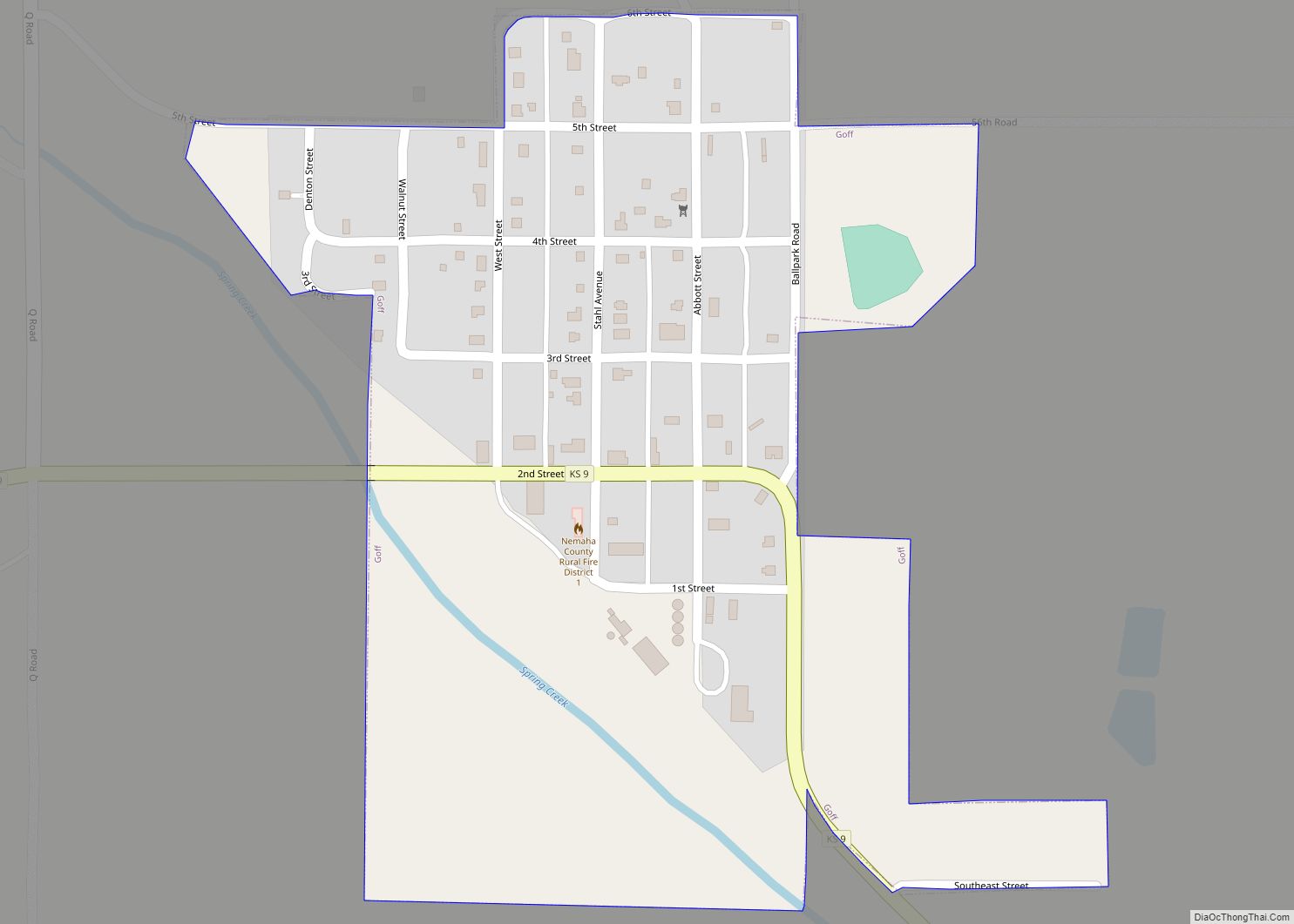
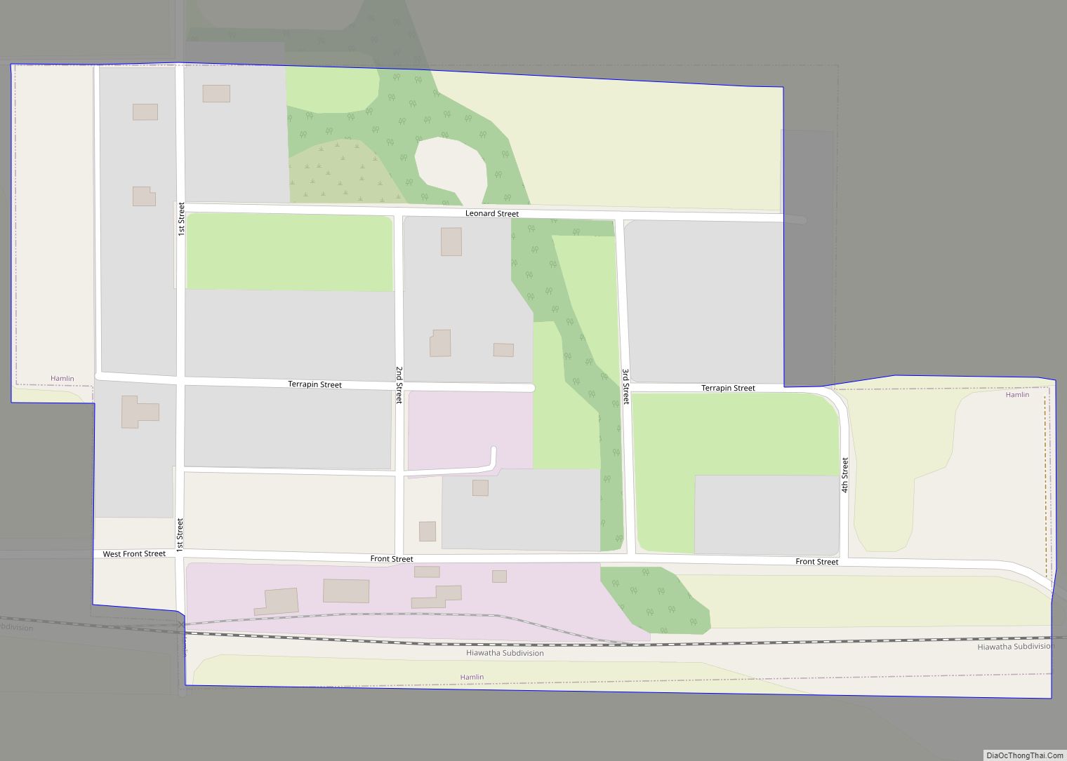
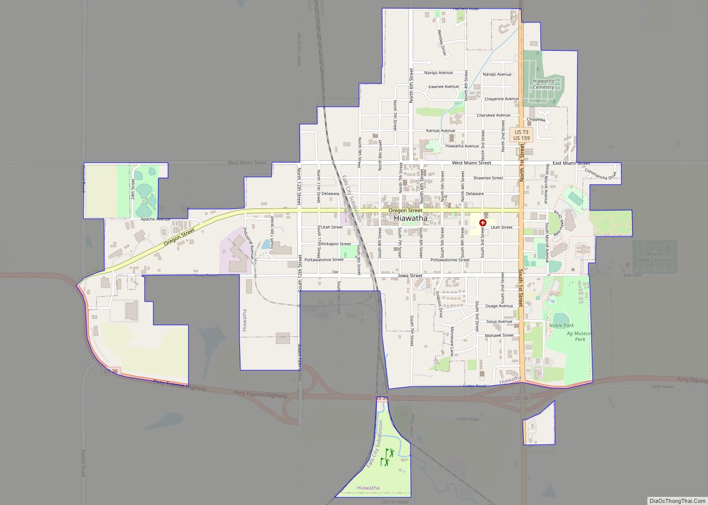
Online Interactive Map
Click on ![]() to view map in "full screen" mode.
to view map in "full screen" mode.
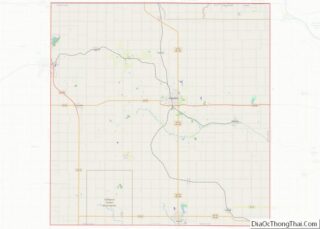
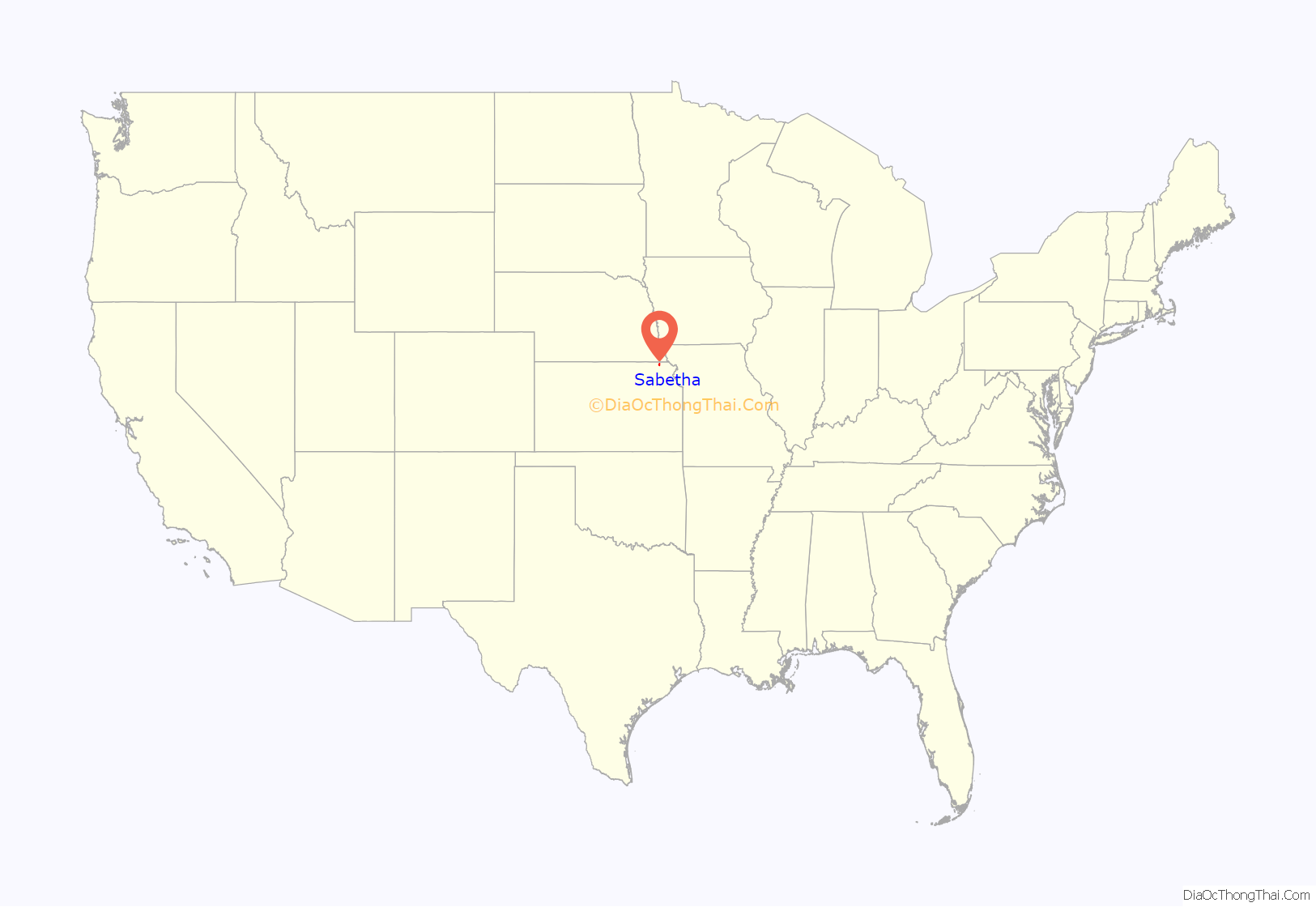
Sabetha location map. Where is Sabetha city?
History
The town’s settlement began circa 1854, with a name reportedly derived from the word “Sabbath”, the day the first settler arrived. Sabetha was incorporated as a city in 1874.
On the evening of June 13, 1998, an F2 tornado damaged much of the downtown, but no casualties were reported. The downtown area received little warning as the tornado struck less than 1 minute after the tornado siren began to sound. The tornado, which touched down half a mile west of the Sabetha City Hall, caused serious damage to two blocks of the town, with 18 buildings in the downtown area being damaged, five (including the city hall building) to near “the point of loss”. The tornado lifted about half a mile east of City Hall. Damage to the city hall building amounted to $2 million, and additional damage to homes and vehicles away from downtown occurred due to tornado-toppled trees and branches away from the tornado’s center along with strong straight-line winds.
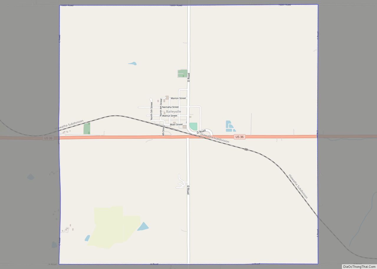
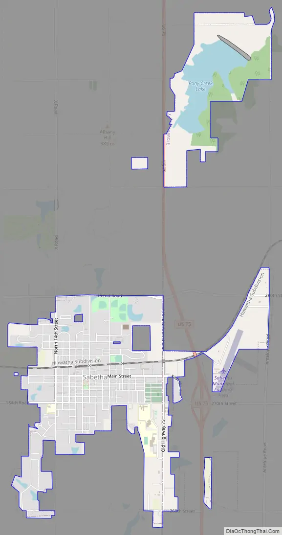
Sabetha Road Map
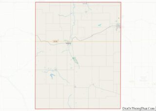
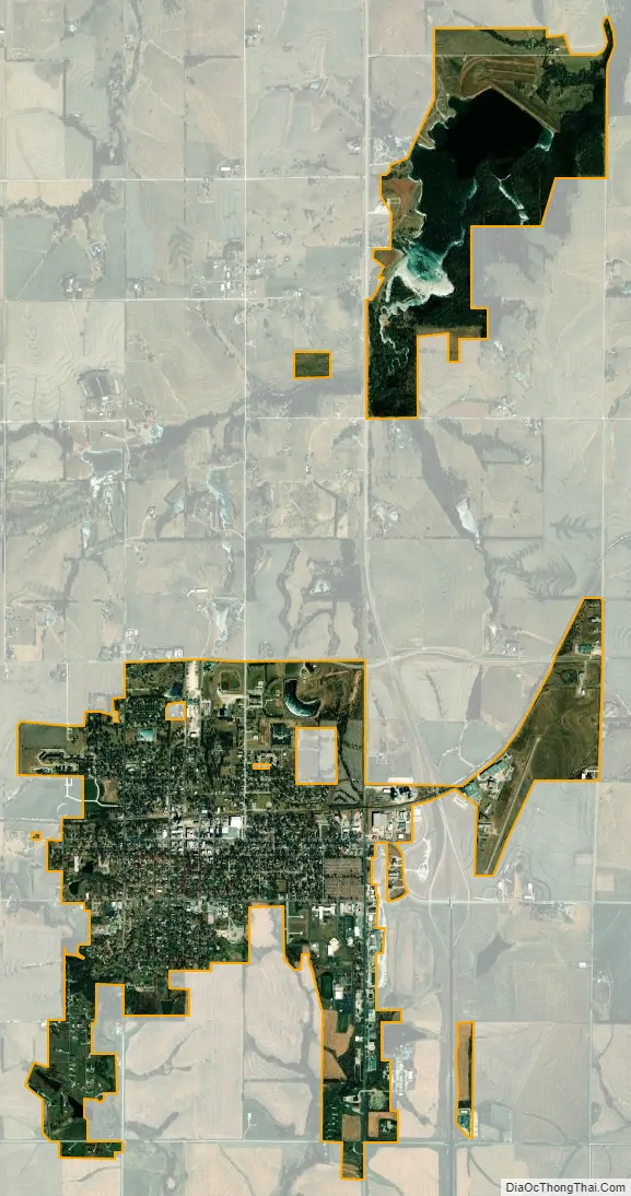
Sabetha city Satellite Map
Geography
Sabetha is located at 39°54′11″N 95°47′58″W / 39.90306°N 95.79944°W / 39.90306; -95.79944 (39.903109, −95.799408). According to the United States Census Bureau, the city has a total area of 3.47 square miles (8.99 km), of which, 3.46 square miles (8.96 km) is land and 0.01 square miles (0.03 km) is water.
See also
Map of Kansas State and its subdivision:- Allen
- Anderson
- Atchison
- Barber
- Barton
- Bourbon
- Brown
- Butler
- Chase
- Chautauqua
- Cherokee
- Cheyenne
- Clark
- Clay
- Cloud
- Coffey
- Comanche
- Cowley
- Crawford
- Decatur
- Dickinson
- Doniphan
- Douglas
- Edwards
- Elk
- Ellis
- Ellsworth
- Finney
- Ford
- Franklin
- Geary
- Gove
- Graham
- Grant
- Gray
- Greeley
- Greenwood
- Hamilton
- Harper
- Harvey
- Haskell
- Hodgeman
- Jackson
- Jefferson
- Jewell
- Johnson
- Kearny
- Kingman
- Kiowa
- Labette
- Lane
- Leavenworth
- Lincoln
- Linn
- Logan
- Lyon
- Marion
- Marshall
- McPherson
- Meade
- Miami
- Mitchell
- Montgomery
- Morris
- Morton
- Nemaha
- Neosho
- Ness
- Norton
- Osage
- Osborne
- Ottawa
- Pawnee
- Phillips
- Pottawatomie
- Pratt
- Rawlins
- Reno
- Republic
- Rice
- Riley
- Rooks
- Rush
- Russell
- Saline
- Scott
- Sedgwick
- Seward
- Shawnee
- Sheridan
- Sherman
- Smith
- Stafford
- Stanton
- Stevens
- Sumner
- Thomas
- Trego
- Wabaunsee
- Wallace
- Washington
- Wichita
- Wilson
- Woodson
- Wyandotte
- Alabama
- Alaska
- Arizona
- Arkansas
- California
- Colorado
- Connecticut
- Delaware
- District of Columbia
- Florida
- Georgia
- Hawaii
- Idaho
- Illinois
- Indiana
- Iowa
- Kansas
- Kentucky
- Louisiana
- Maine
- Maryland
- Massachusetts
- Michigan
- Minnesota
- Mississippi
- Missouri
- Montana
- Nebraska
- Nevada
- New Hampshire
- New Jersey
- New Mexico
- New York
- North Carolina
- North Dakota
- Ohio
- Oklahoma
- Oregon
- Pennsylvania
- Rhode Island
- South Carolina
- South Dakota
- Tennessee
- Texas
- Utah
- Vermont
- Virginia
- Washington
- West Virginia
- Wisconsin
- Wyoming