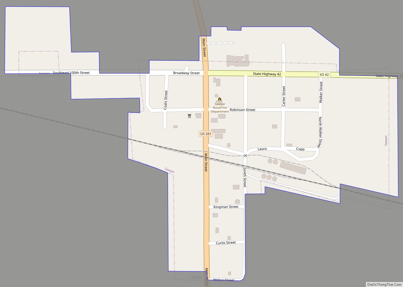
Sawyer is a city in Pratt County, Kansas, United States. As of the 2020 census, the population of the city was 89. Sawyer city overview: Name: Sawyer city LSAD Code: 25 LSAD Description: city (suffix) State: Kansas County: Pratt County Founded: 1886-1887 Incorporated: 1914 Elevation: 1,916 ft (584 m) Total Area: 0.18 sq mi (0.47 km²) Land Area: 0.18 sq mi (0.47 km²) ... Read more
Kansas Cities and Places
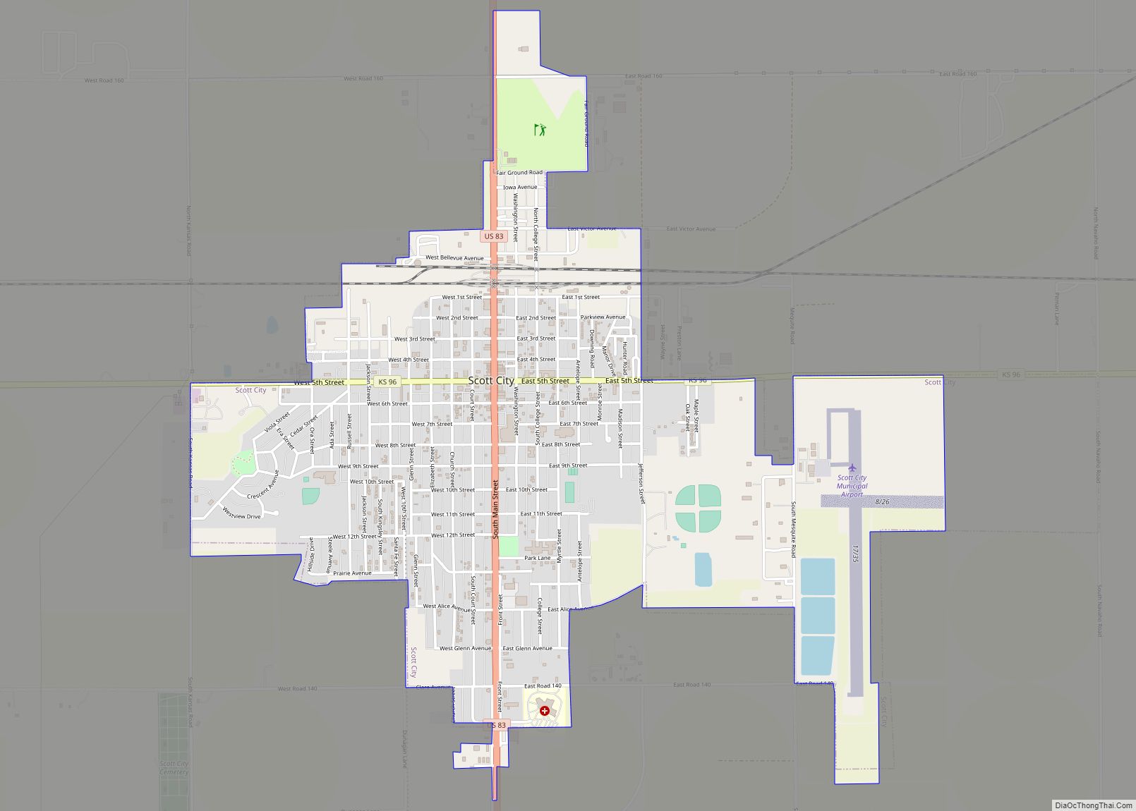
Scott City is a city in and the county seat of Scott County, Kansas, United States. As of the 2020 census, the population of the city was 4,113. Scott City city overview: Name: Scott City city LSAD Code: 25 LSAD Description: city (suffix) State: Kansas County: Scott County Founded: 1885 Incorporated: 1887 Elevation: 2,979 ft (908 m) ... Read more
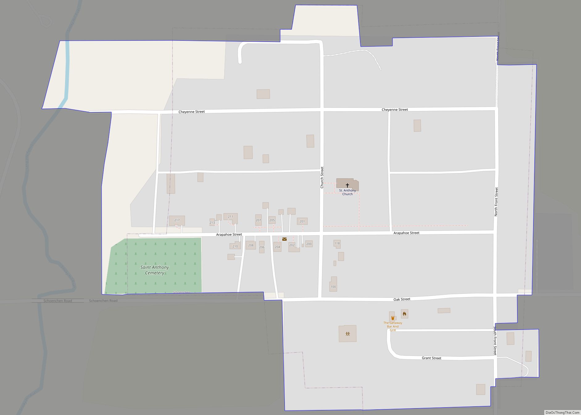
Schoenchen is a city in Ellis County, Kansas, United States. As of the 2020 census, the population of the city was 170. Schoenchen city overview: Name: Schoenchen city LSAD Code: 25 LSAD Description: city (suffix) State: Kansas County: Ellis County Founded: 1877 Incorporated: 1935 Elevation: 1,923 ft (586 m) Total Area: 0.12 sq mi (0.32 km²) Land Area: 0.12 sq mi (0.32 km²) ... Read more
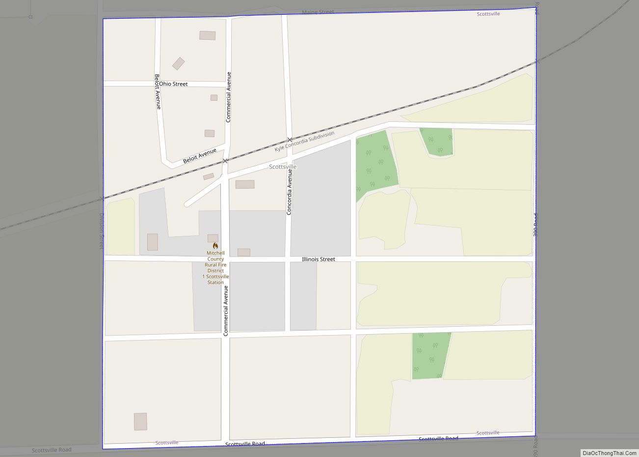
Scottsville is a city in Mitchell County, Kansas, United States. As of the 2020 census, the population of the city was 26. Scottsville city overview: Name: Scottsville city LSAD Code: 25 LSAD Description: city (suffix) State: Kansas County: Mitchell County Founded: 1870s Incorporated: 1907 Elevation: 1,562 ft (476 m) Total Area: 0.25 sq mi (0.65 km²) Land Area: 0.25 sq mi (0.65 km²) ... Read more
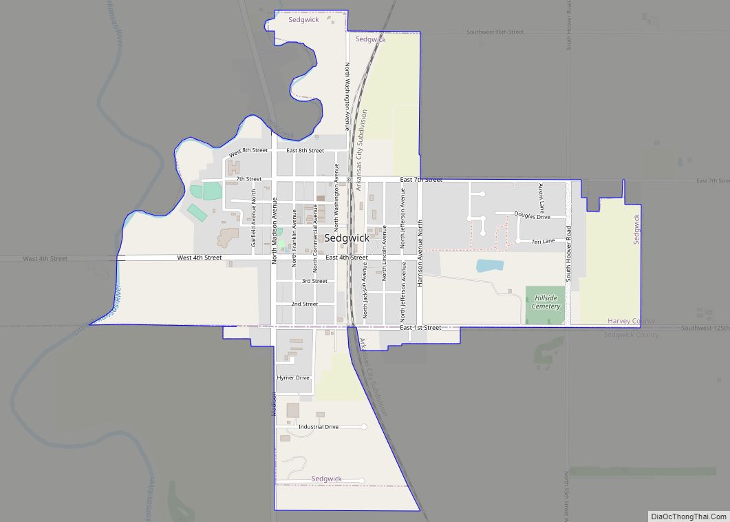
Sedgwick is a city in Harvey and Sedgwick counties in the State of Kansas. As of the 2020 census, the population of the city was 1,603. Sedgwick city overview: Name: Sedgwick city LSAD Code: 25 LSAD Description: city (suffix) State: Kansas County: Harvey County, Sedgwick County Founded: 1870 Incorporated: 1872 Elevation: 1,378 ft (420 m) Total Area: ... Read more
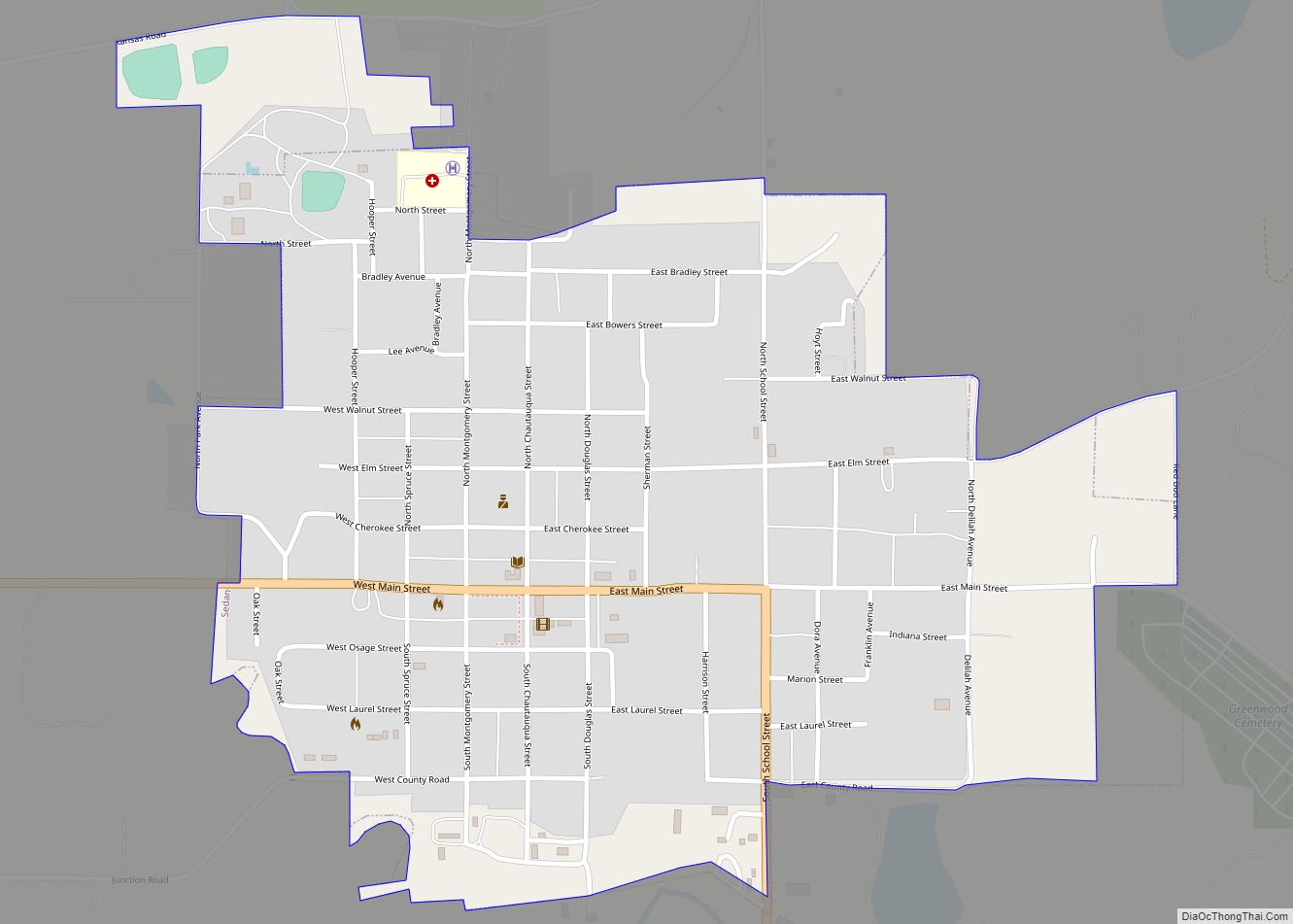
Sedan is the county seat of and the largest city in Chautauqua County, Kansas, United States. As of the 2020 census, the population of the city was 1,000. Sedan city overview: Name: Sedan city LSAD Code: 25 LSAD Description: city (suffix) State: Kansas County: Chautauqua County Founded: 1871 Incorporated: 1876 Elevation: 863 ft (263 m) Total Area: ... Read more
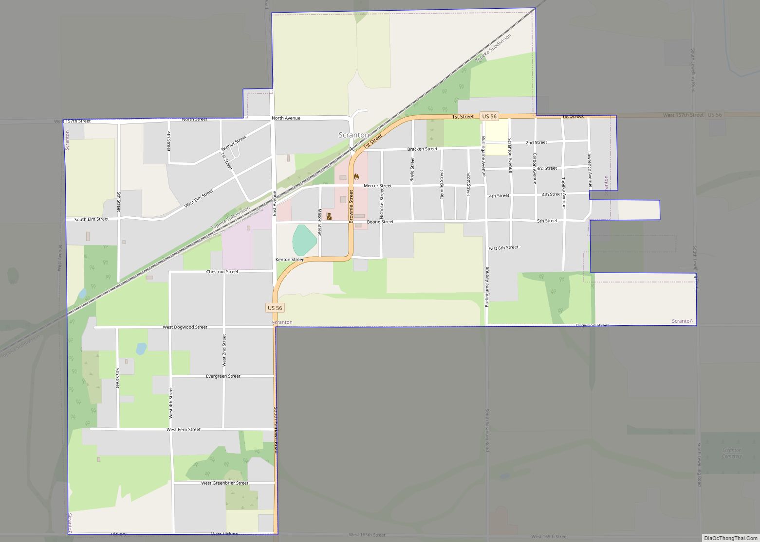
Scranton is a city in Osage County, Kansas, United States. As of the 2020 census, the population of the city was 653. It was named after the city of Scranton, Pennsylvania due to its coal mining in the 19th century. Scranton city overview: Name: Scranton city LSAD Code: 25 LSAD Description: city (suffix) State: Kansas ... Read more
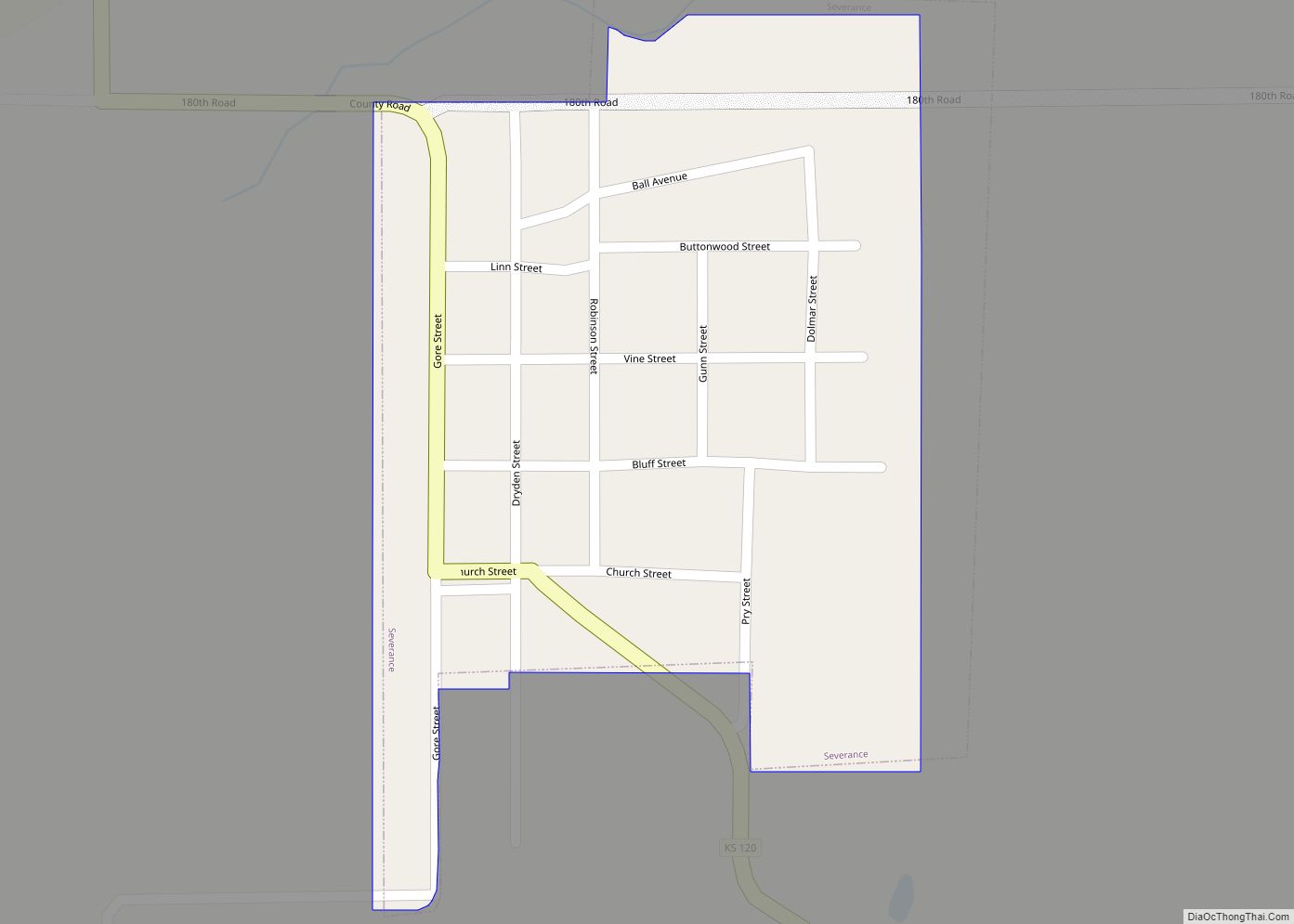
Severance is a city in Doniphan County, Kansas, United States. As of the 2020 census, the population of the city was 76. Severance city overview: Name: Severance city LSAD Code: 25 LSAD Description: city (suffix) State: Kansas County: Doniphan County Founded: 1869 Incorporated: 1877 Elevation: 925 ft (282 m) Total Area: 0.14 sq mi (0.36 km²) Land Area: 0.14 sq mi (0.36 km²) ... Read more
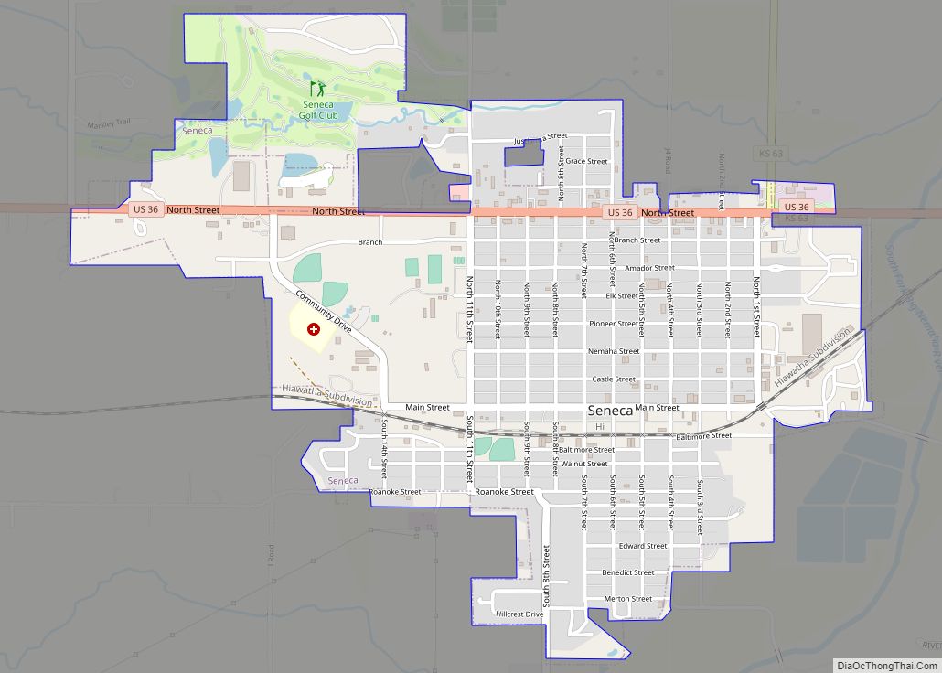
Seneca is a city in and the county seat of Nemaha County, Kansas, United States. As of the 2020 census, the population of the city was 2,139. Seneca city overview: Name: Seneca city LSAD Code: 25 LSAD Description: city (suffix) State: Kansas County: Nemaha County Founded: 1857 Incorporated: 1870 Elevation: 1,142 ft (348 m) Total Area: 1.67 sq mi ... Read more
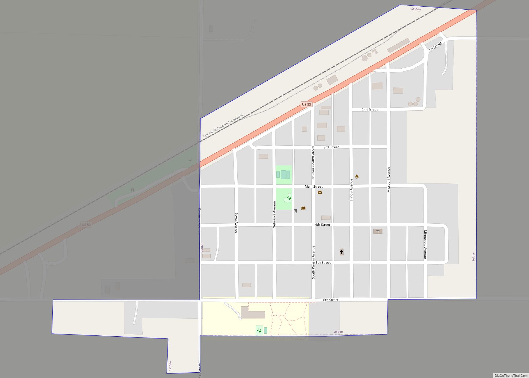
Selden is a city in Sheridan County, Kansas, United States. As of the 2020 census, the population of the city was 184. Selden city overview: Name: Selden city LSAD Code: 25 LSAD Description: city (suffix) State: Kansas County: Sheridan County Founded: 1880s Incorporated: 1905 Elevation: 2,835 ft (864 m) Total Area: 0.30 sq mi (0.79 km²) Land Area: 0.30 sq mi (0.79 km²) ... Read more
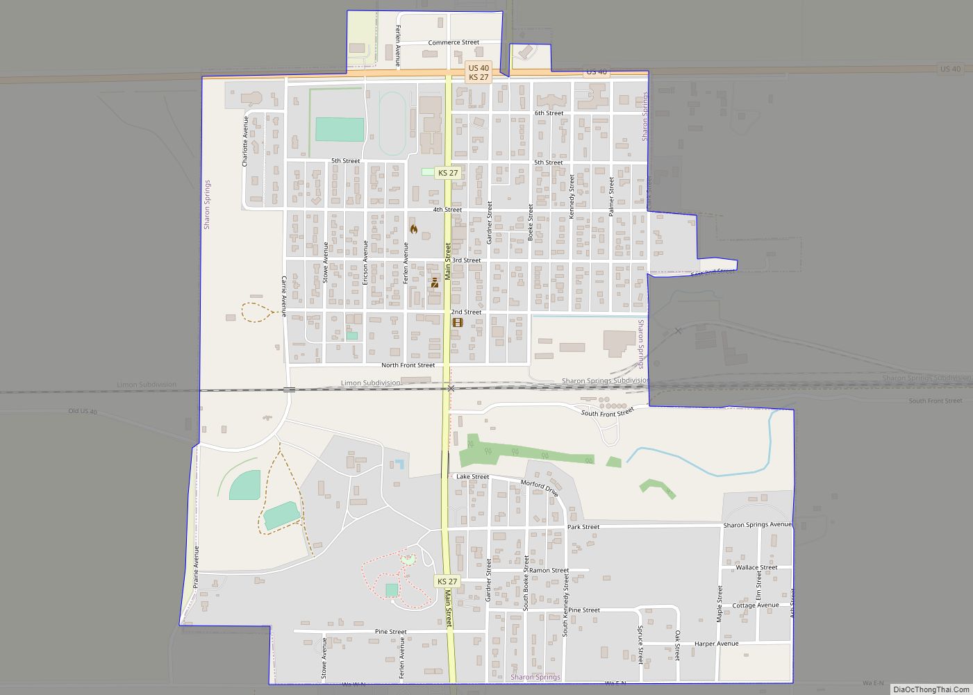
Sharon Springs is a city in and the county seat of Wallace County, Kansas, United States. As of the 2020 census, the population of the city was 751. Sharon Springs city overview: Name: Sharon Springs city LSAD Code: 25 LSAD Description: city (suffix) State: Kansas County: Wallace County Founded: 1868 Incorporated: 1890 Elevation: 3,475 ft (1,059 m) ... Read more
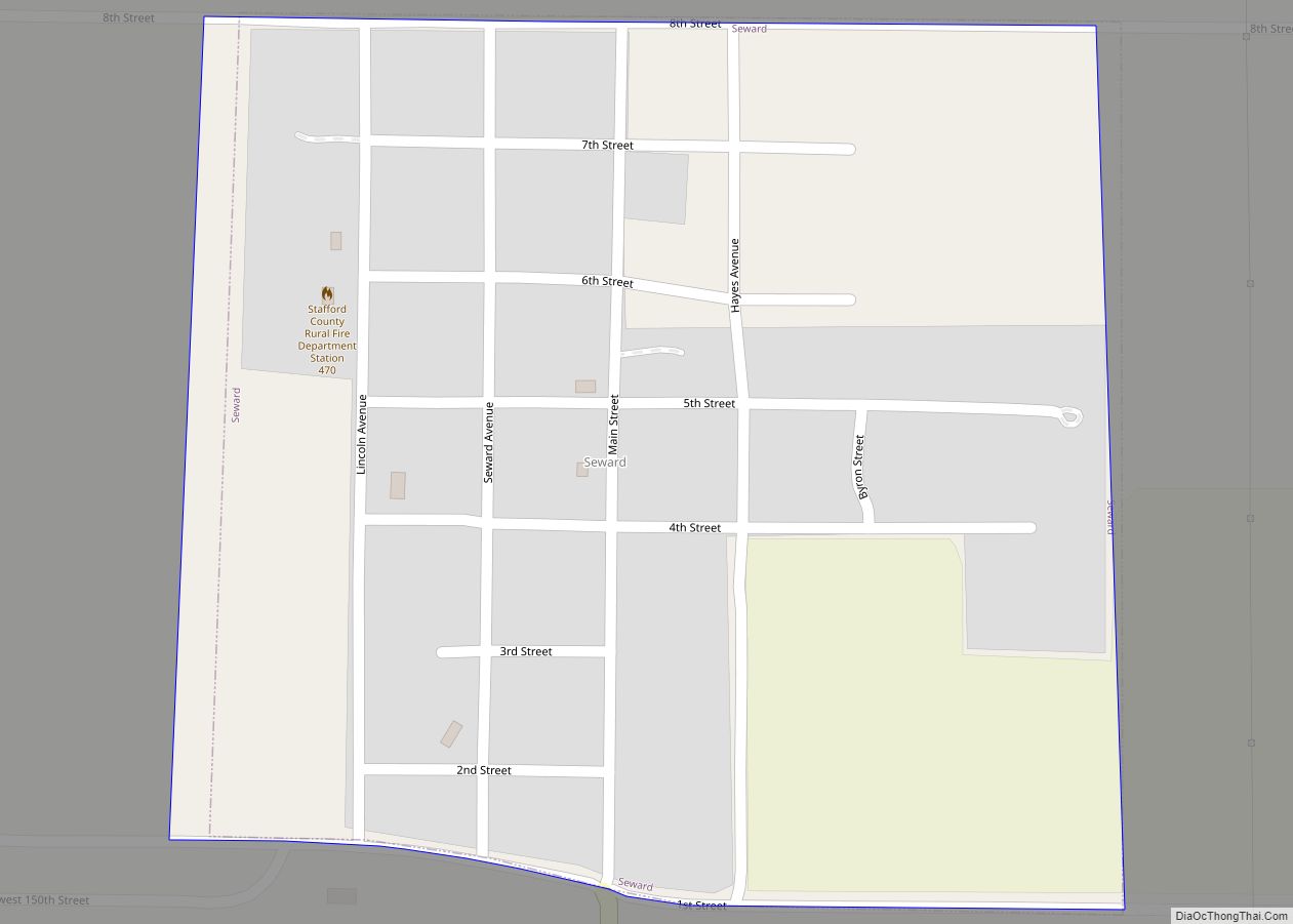
Seward is a city in Stafford County, Kansas, United States. As of the 2020 census, the population of the city was 41. Seward city overview: Name: Seward city LSAD Code: 25 LSAD Description: city (suffix) State: Kansas County: Stafford County Founded: 1870s Incorporated: 1927 Elevation: 1,913 ft (583 m) Total Area: 0.26 sq mi (0.67 km²) Land Area: 0.26 sq mi (0.67 km²) ... Read more
