Sharon Springs is a city in and the county seat of Wallace County, Kansas, United States. As of the 2020 census, the population of the city was 751.
| Name: | Sharon Springs city |
|---|---|
| LSAD Code: | 25 |
| LSAD Description: | city (suffix) |
| State: | Kansas |
| County: | Wallace County |
| Founded: | 1868 |
| Incorporated: | 1890 |
| Elevation: | 3,475 ft (1,059 m) |
| Total Area: | 0.90 sq mi (2.34 km²) |
| Land Area: | 0.90 sq mi (2.34 km²) |
| Water Area: | 0.00 sq mi (0.00 km²) |
| Total Population: | 751 |
| Population Density: | 830/sq mi (320/km²) |
| ZIP code: | 67758 |
| Area code: | 785 |
| FIPS code: | 2064375 |
Online Interactive Map
Click on ![]() to view map in "full screen" mode.
to view map in "full screen" mode.
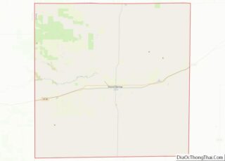
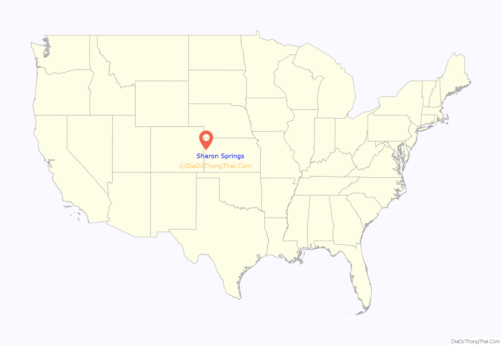
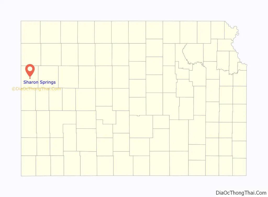
Sharon Springs location map. Where is Sharon Springs city?
History
Sharon Springs was originally called Eagle Tail station when it was founded in 1868. It was renamed Sharon Springs in 1886, after Sharon Springs, New York. Sharon Springs was incorporated as a city in 1890.
In 2013, the largest sinkhole in Kansas opened north of Sharon Springs. As of December 2013, the sinkhole was approximately 88 feet (27 m) deep and 243 feet (74 m) across.
On April 22, 2022, a high-end EF1 tornado caused severe damage to the city.
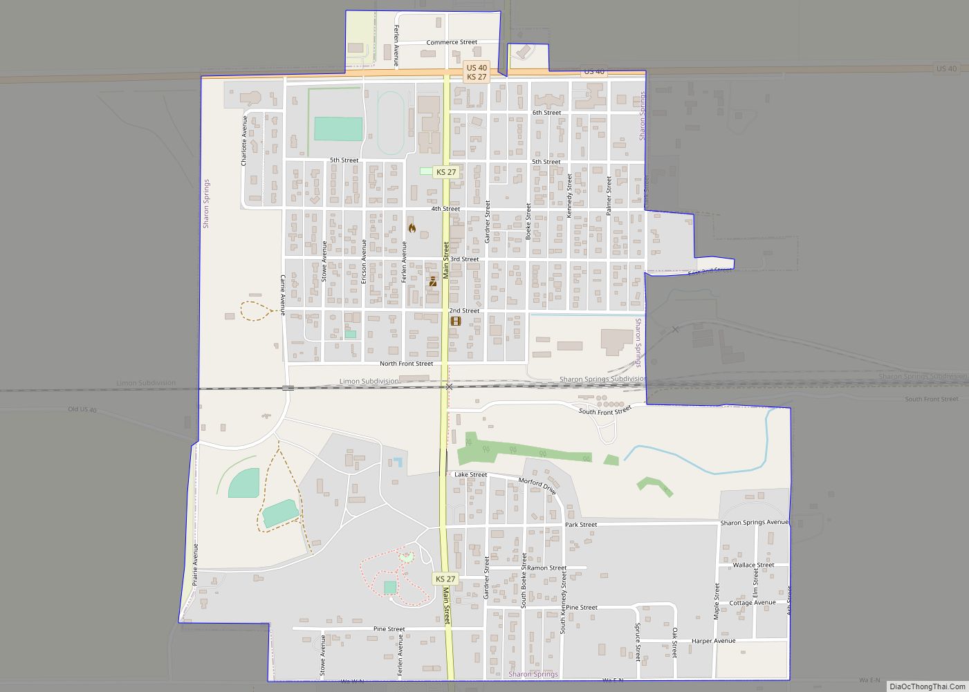
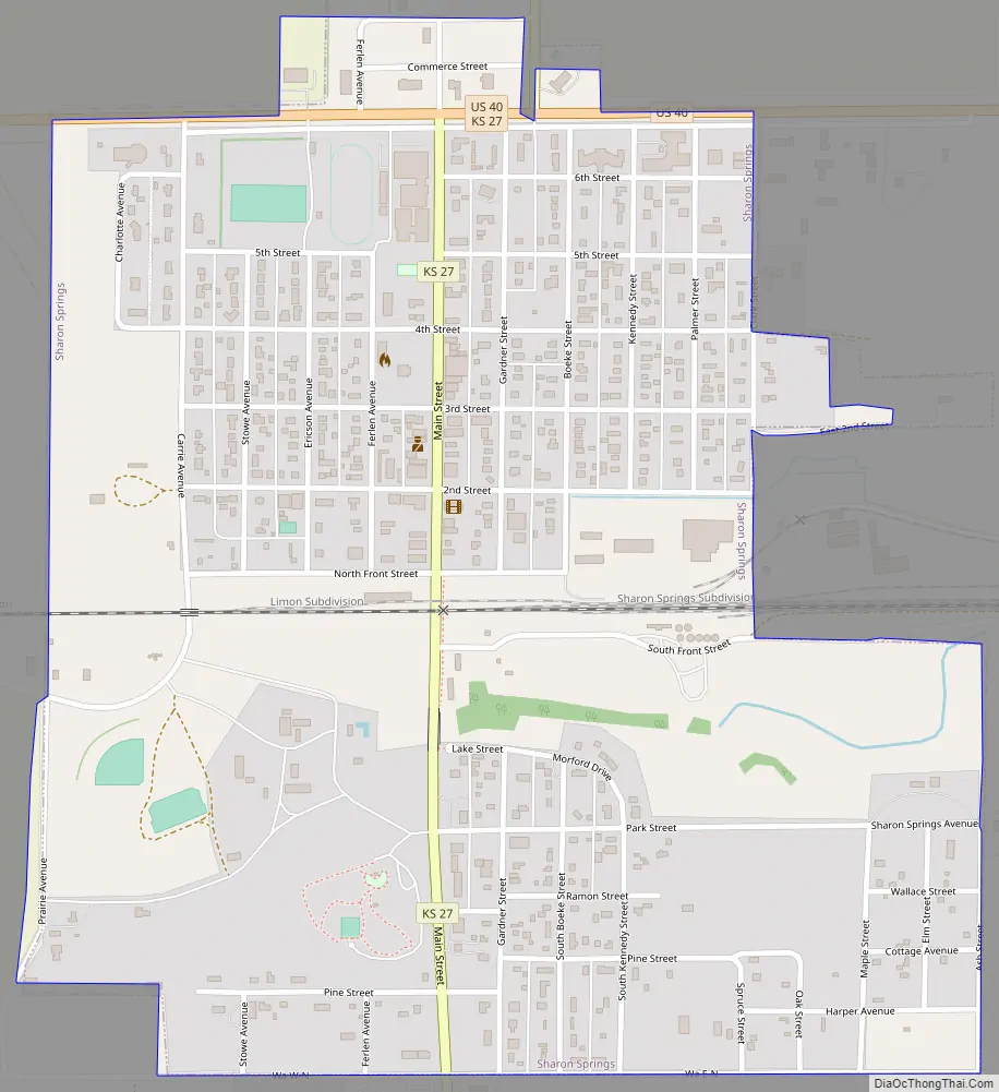
Sharon Springs Road Map
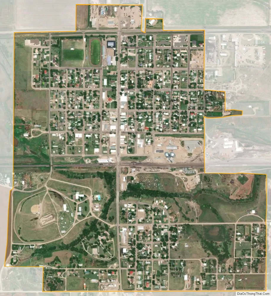
Sharon Springs city Satellite Map
Geography
Sharon Springs is located at 38°53′44″N 101°45′3″W / 38.89556°N 101.75083°W / 38.89556; -101.75083 (38.895513, -101.750881). According to the United States Census Bureau, the city has a total area of 0.91 square miles (2.36 km), all land.
Climate
According to the Köppen Climate Classification system, Sharon Springs has a semi-arid climate, abbreviated “BSk” on climate maps.
See also
Map of Kansas State and its subdivision:- Allen
- Anderson
- Atchison
- Barber
- Barton
- Bourbon
- Brown
- Butler
- Chase
- Chautauqua
- Cherokee
- Cheyenne
- Clark
- Clay
- Cloud
- Coffey
- Comanche
- Cowley
- Crawford
- Decatur
- Dickinson
- Doniphan
- Douglas
- Edwards
- Elk
- Ellis
- Ellsworth
- Finney
- Ford
- Franklin
- Geary
- Gove
- Graham
- Grant
- Gray
- Greeley
- Greenwood
- Hamilton
- Harper
- Harvey
- Haskell
- Hodgeman
- Jackson
- Jefferson
- Jewell
- Johnson
- Kearny
- Kingman
- Kiowa
- Labette
- Lane
- Leavenworth
- Lincoln
- Linn
- Logan
- Lyon
- Marion
- Marshall
- McPherson
- Meade
- Miami
- Mitchell
- Montgomery
- Morris
- Morton
- Nemaha
- Neosho
- Ness
- Norton
- Osage
- Osborne
- Ottawa
- Pawnee
- Phillips
- Pottawatomie
- Pratt
- Rawlins
- Reno
- Republic
- Rice
- Riley
- Rooks
- Rush
- Russell
- Saline
- Scott
- Sedgwick
- Seward
- Shawnee
- Sheridan
- Sherman
- Smith
- Stafford
- Stanton
- Stevens
- Sumner
- Thomas
- Trego
- Wabaunsee
- Wallace
- Washington
- Wichita
- Wilson
- Woodson
- Wyandotte
- Alabama
- Alaska
- Arizona
- Arkansas
- California
- Colorado
- Connecticut
- Delaware
- District of Columbia
- Florida
- Georgia
- Hawaii
- Idaho
- Illinois
- Indiana
- Iowa
- Kansas
- Kentucky
- Louisiana
- Maine
- Maryland
- Massachusetts
- Michigan
- Minnesota
- Mississippi
- Missouri
- Montana
- Nebraska
- Nevada
- New Hampshire
- New Jersey
- New Mexico
- New York
- North Carolina
- North Dakota
- Ohio
- Oklahoma
- Oregon
- Pennsylvania
- Rhode Island
- South Carolina
- South Dakota
- Tennessee
- Texas
- Utah
- Vermont
- Virginia
- Washington
- West Virginia
- Wisconsin
- Wyoming