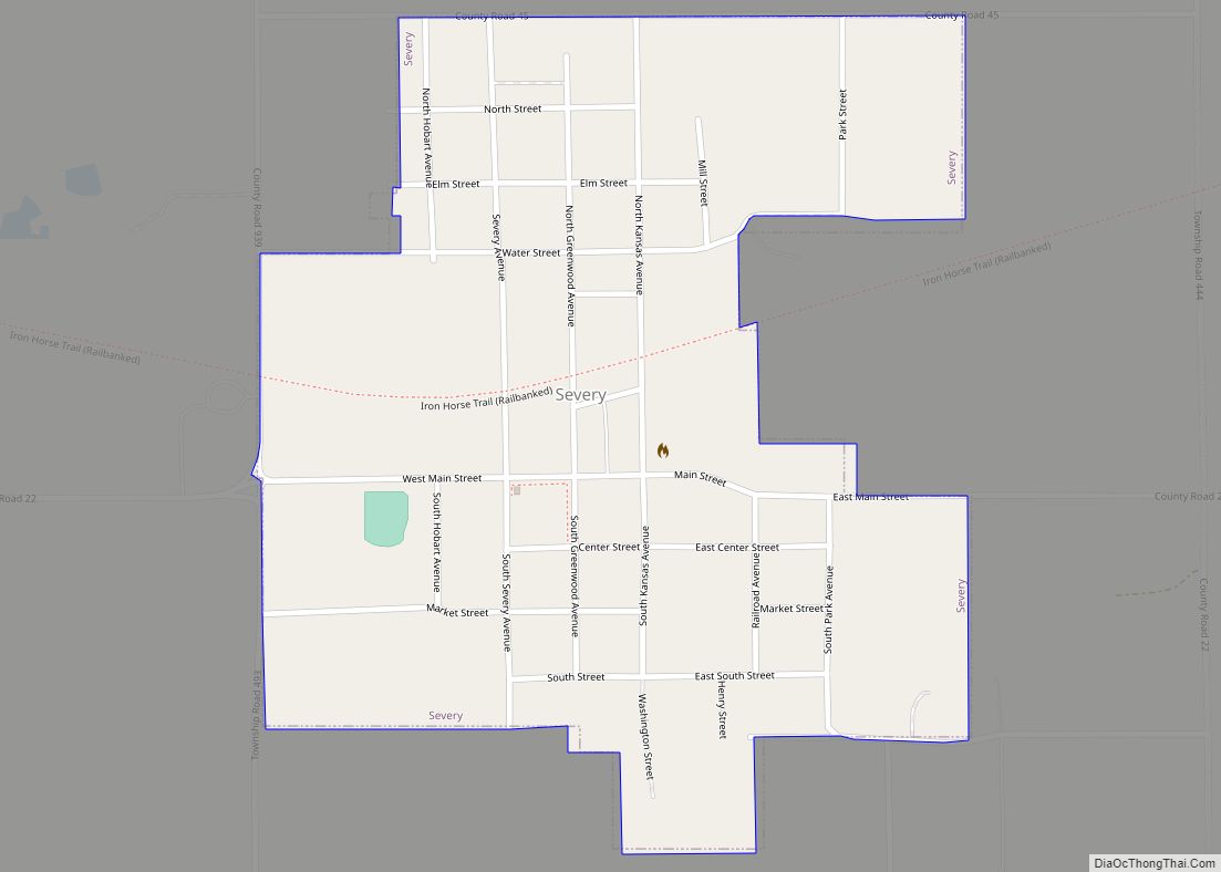
Severy is a city in Greenwood County, Kansas, United States. As of the 2020 census, the population of the city was 205. Severy city overview: Name: Severy city LSAD Code: 25 LSAD Description: city (suffix) State: Kansas County: Greenwood County Founded: 1879 Incorporated: 1883 Elevation: 1,116 ft (340 m) Total Area: 0.49 sq mi (1.27 km²) Land Area: 0.49 sq mi (1.27 km²) ... Read more
Kansas Cities and Places
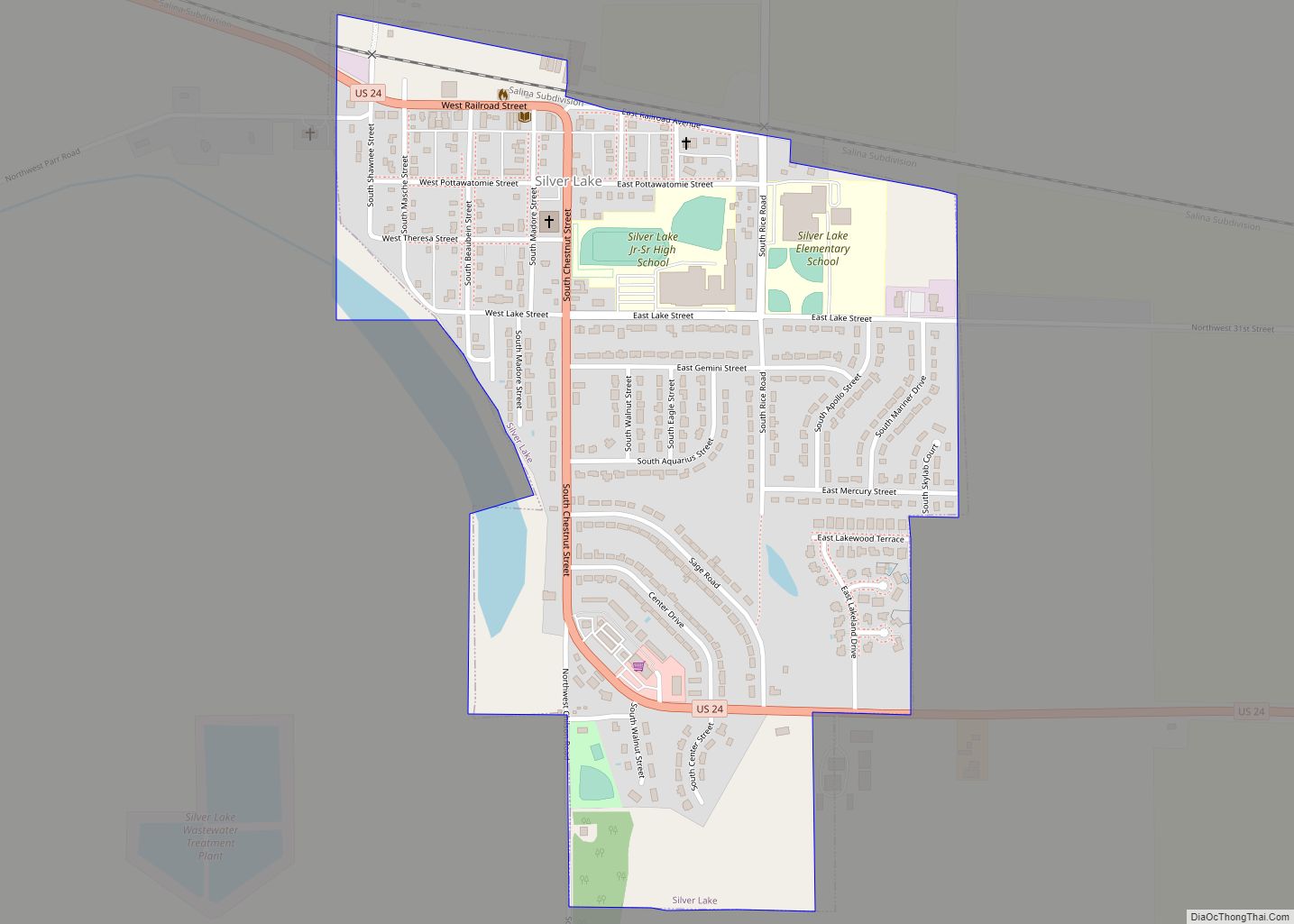
Silver Lake is a city in Shawnee County, Kansas, United States. As of the 2020 census, the population of the city was 1,345. Silver Lake city overview: Name: Silver Lake city LSAD Code: 25 LSAD Description: city (suffix) State: Kansas County: Shawnee County Founded: 1868 Incorporated: 1871 Elevation: 912 ft (278 m) Total Area: 0.59 sq mi (1.52 km²) Land ... Read more
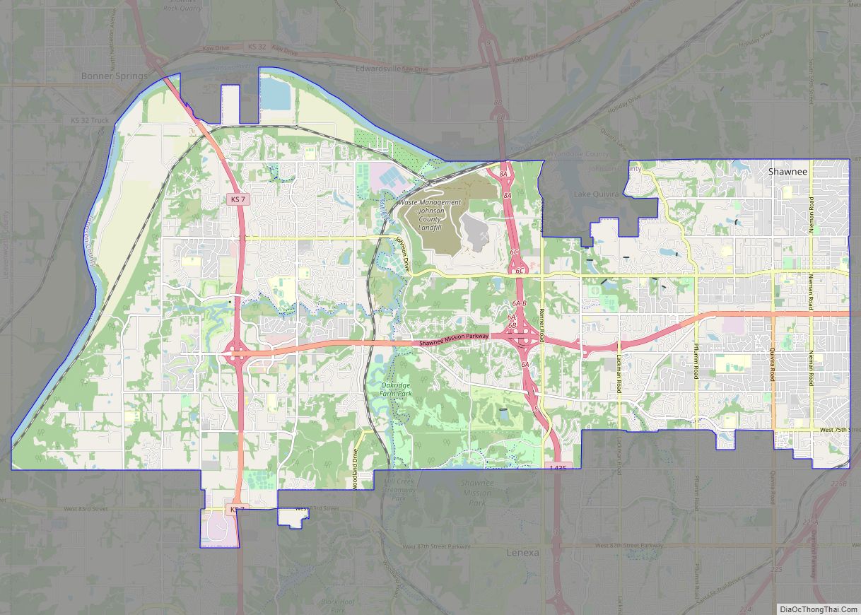
Shawnee /ʃɔːˈniː/ is a city in Johnson County, Kansas, United States. It is the seventh most populous municipality in the Kansas City metropolitan area. As of the 2020 census, the population of the city was 67,311. Shawnee city overview: Name: Shawnee city LSAD Code: 25 LSAD Description: city (suffix) State: Kansas County: Johnson County Elevation: ... Read more
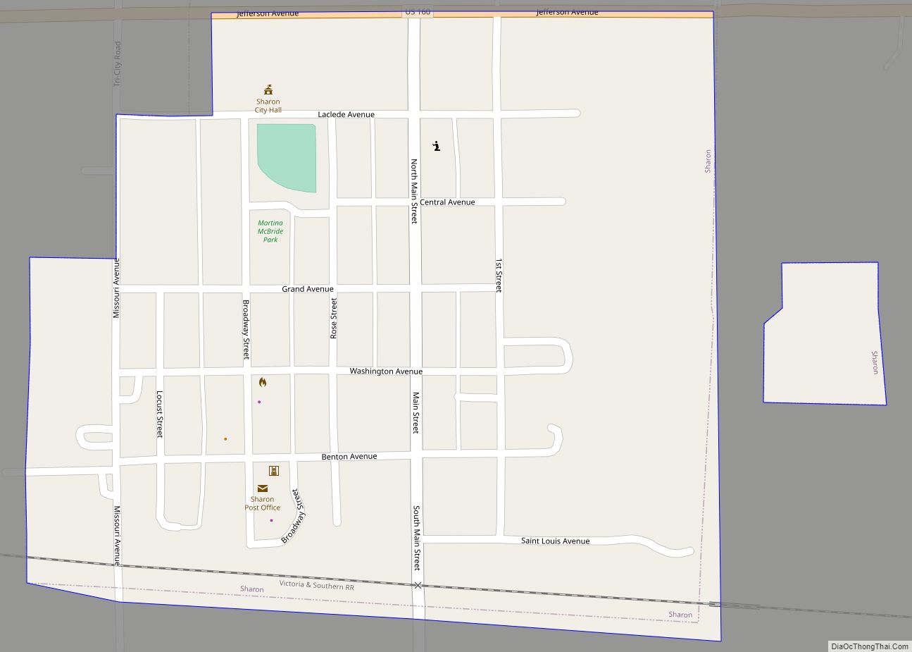
Sharon is a city in Barber County, Kansas, United States. As of the 2020 census, the population of the city was 147. Sharon city overview: Name: Sharon city LSAD Code: 25 LSAD Description: city (suffix) State: Kansas County: Barber County Founded: 1883 Incorporated: 1885 Elevation: 1,457 ft (444 m) Total Area: 0.28 sq mi (0.73 km²) Land Area: 0.28 sq mi (0.73 km²) ... Read more
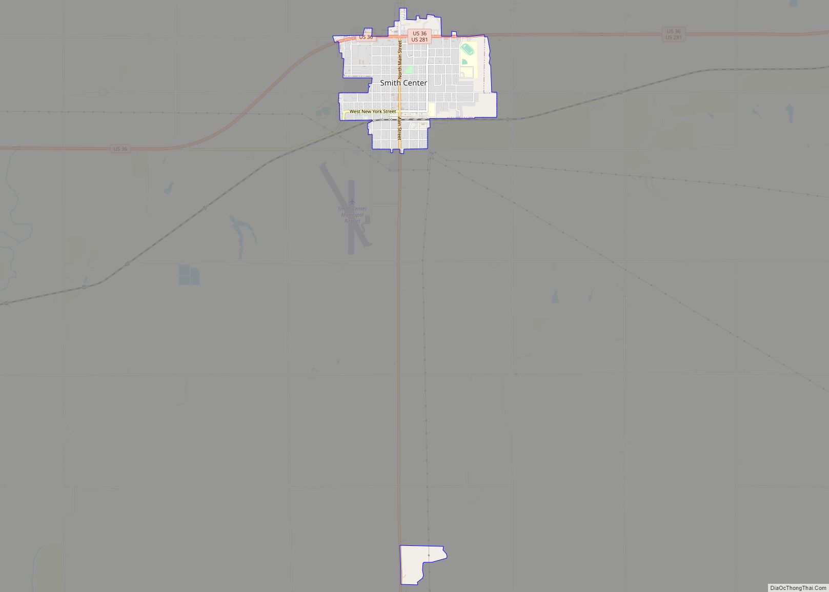
Smith Center is a city in and the county seat of Smith County, Kansas, United States. As of the 2020 census, the population of the city was 1,571. Smith Center city overview: Name: Smith Center city LSAD Code: 25 LSAD Description: city (suffix) State: Kansas County: Smith County Founded: 1871 Incorporated: 1886 Elevation: 1,788 ft (545 m) ... Read more
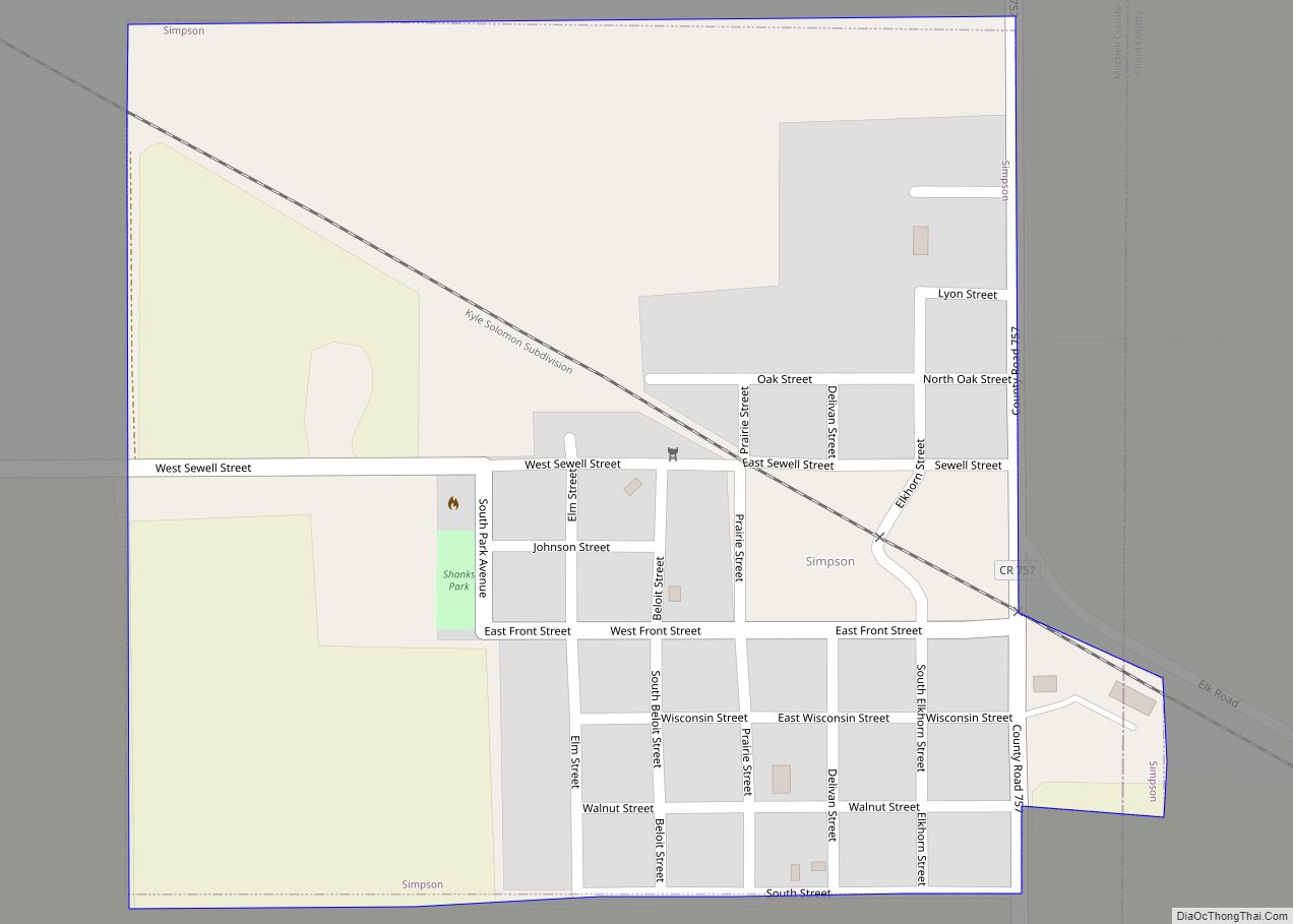
Simpson is a city in Cloud and Mitchell counties in Kansas, United States. As of the 2020 census, the population of the city was 82. Simpson city overview: Name: Simpson city LSAD Code: 25 LSAD Description: city (suffix) State: Kansas County: Cloud County, Mitchell County Founded: 1871 Incorporated: 1907 Elevation: 1,332 ft (406 m) Total Area: 0.26 sq mi ... Read more
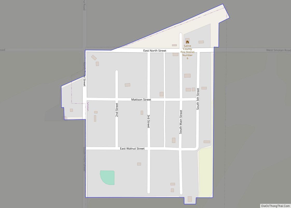
Smolan is a city in Saline County, Kansas, United States. As of the 2020 census, the population of the city was 162. Smolan city overview: Name: Smolan city LSAD Code: 25 LSAD Description: city (suffix) State: Kansas County: Saline County Founded: 1800s Incorporated: 1962 Elevation: 1,283 ft (391 m) Total Area: 0.11 sq mi (0.29 km²) Land Area: 0.11 sq mi (0.29 km²) ... Read more
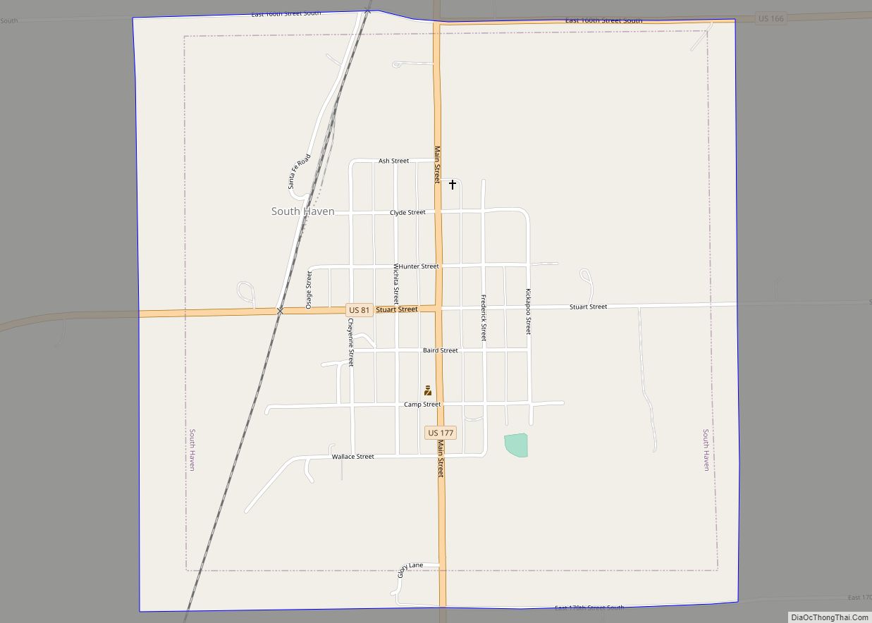
South Haven is a city in Sumner County, Kansas, United States. As of the 2020 census, the population of the city was 324. South Haven city overview: Name: South Haven city LSAD Code: 25 LSAD Description: city (suffix) State: Kansas County: Sumner County Founded: 1872 Incorporated: 1887 Elevation: 1,122 ft (342 m) Total Area: 1.00 sq mi (2.59 km²) Land ... Read more
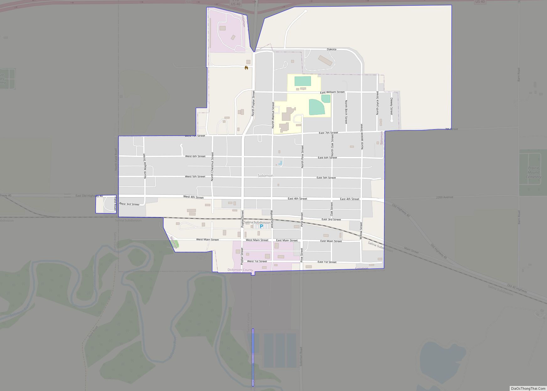
Solomon is a city in Dickinson and Saline counties in the U.S. state of Kansas. As of the 2020 census, the population of the city was 993. It is located approximately 6 miles west of Abilene. Solomon city overview: Name: Solomon city LSAD Code: 25 LSAD Description: city (suffix) State: Kansas County: Dickinson County, Saline ... Read more
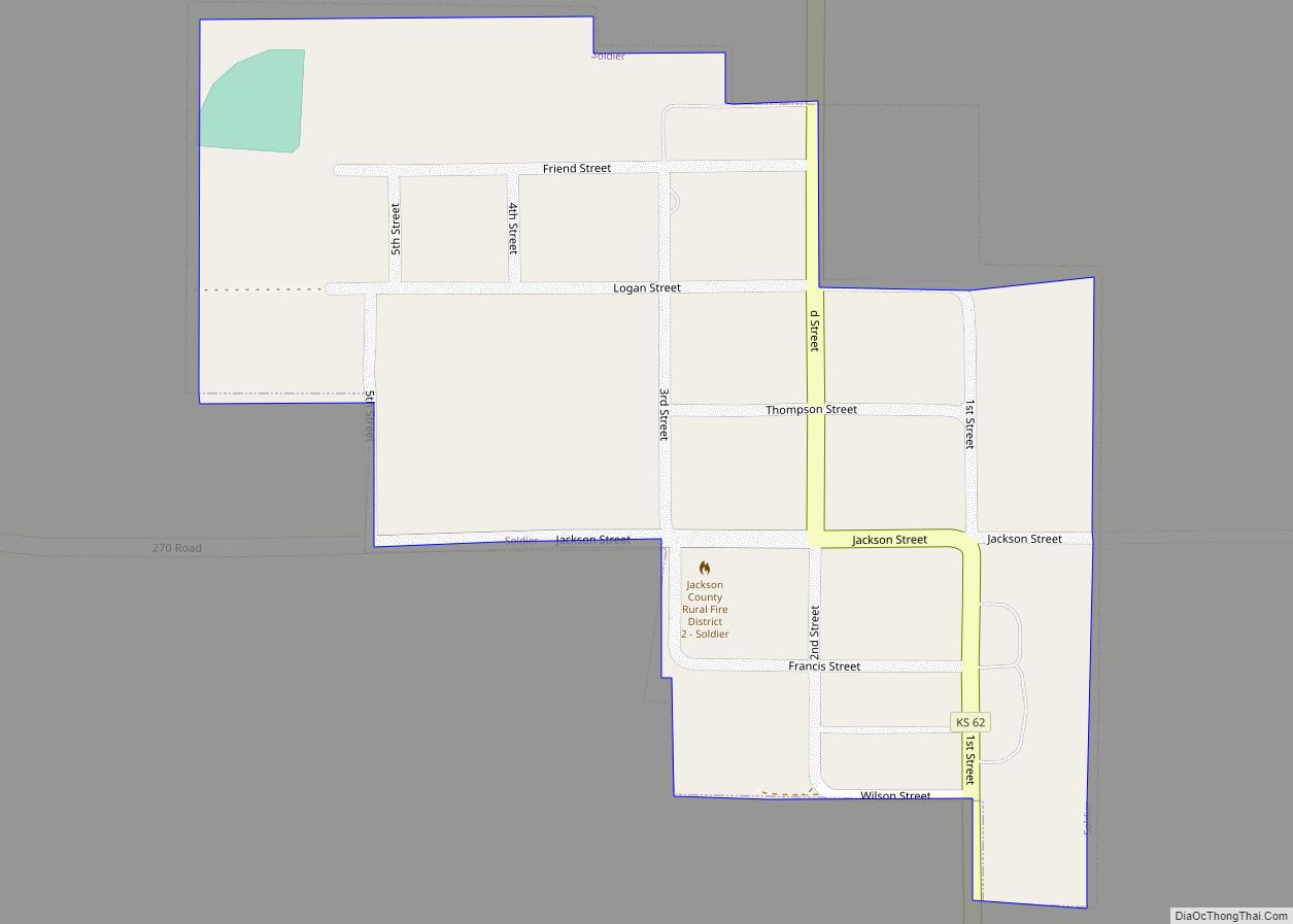
Soldier is a city in Jackson County, Kansas, United States. As of the 2020 census, the population of the city was 102. Soldier city overview: Name: Soldier city LSAD Code: 25 LSAD Description: city (suffix) State: Kansas County: Jackson County Founded: 1877 Incorporated: 1896 Elevation: 1,221 ft (372 m) Total Area: 0.15 sq mi (0.38 km²) Land Area: 0.15 sq mi (0.38 km²) ... Read more
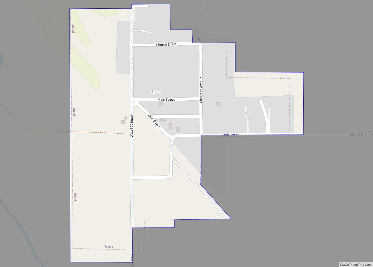
Speed is a city in Phillips County, Kansas, United States. As of the 2020 census, the population of the city was 37. Speed city overview: Name: Speed city LSAD Code: 25 LSAD Description: city (suffix) State: Kansas County: Phillips County Founded: 1890s Incorporated: 1928 Elevation: 1,860 ft (570 m) Total Area: 0.15 sq mi (0.39 km²) Land Area: 0.15 sq mi (0.39 km²) ... Read more
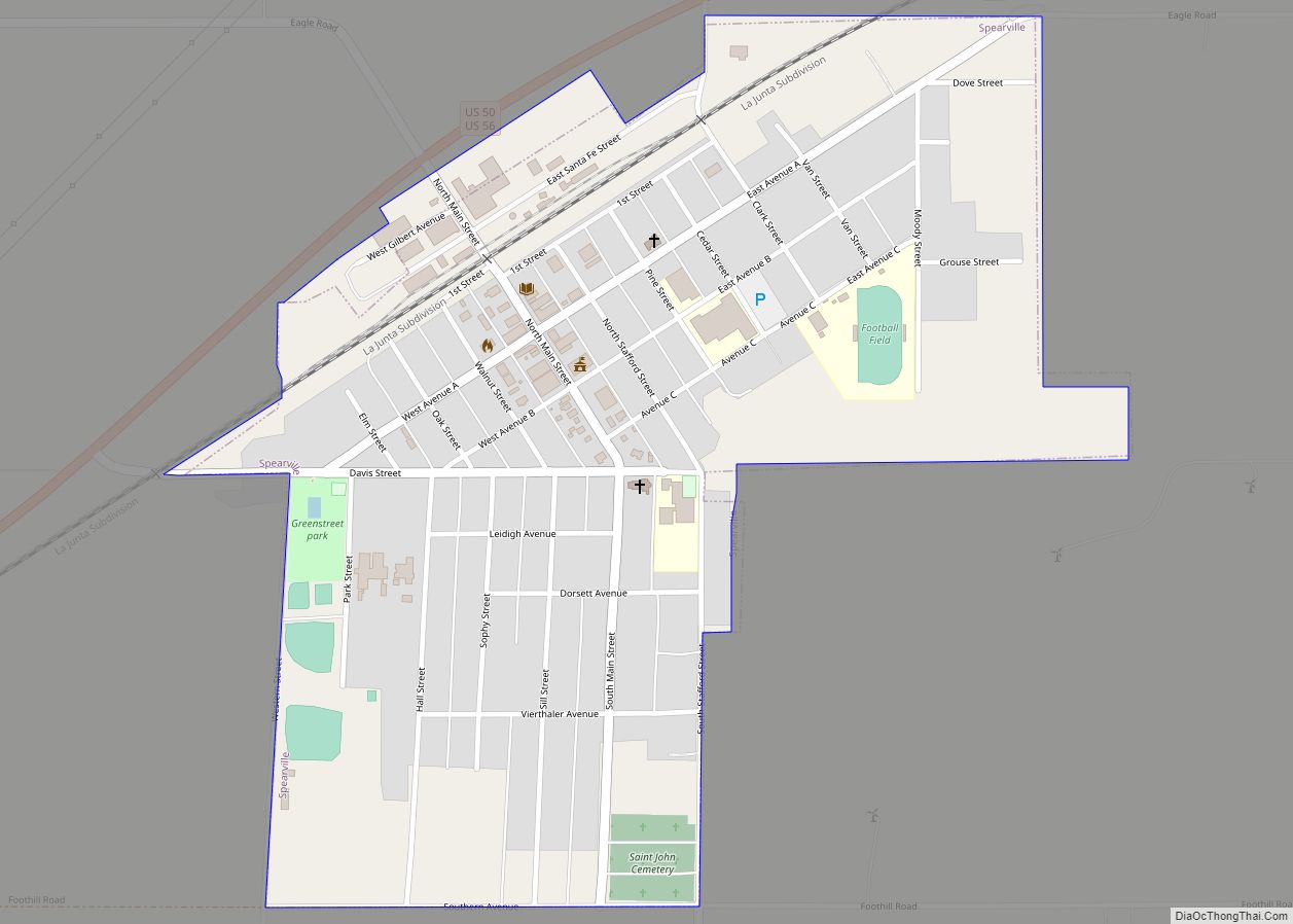
Spearville is a city in Ford County, Kansas, United States. As of the 2020 census, the population of the city was 791. Spearville city overview: Name: Spearville city LSAD Code: 25 LSAD Description: city (suffix) State: Kansas County: Ford County Founded: 1873 Incorporated: 1885 Elevation: 2,461 ft (750 m) Total Area: 0.63 sq mi (1.63 km²) Land Area: 0.63 sq mi (1.63 km²) ... Read more
