Shawnee /ʃɔːˈniː/ is a city in Johnson County, Kansas, United States. It is the seventh most populous municipality in the Kansas City metropolitan area. As of the 2020 census, the population of the city was 67,311.
| Name: | Shawnee city |
|---|---|
| LSAD Code: | 25 |
| LSAD Description: | city (suffix) |
| State: | Kansas |
| County: | Johnson County |
| Elevation: | 1,066 ft (325 m) |
| Total Area: | 42.86 sq mi (111.01 km²) |
| Land Area: | 41.98 sq mi (108.72 km²) |
| Water Area: | 0.89 sq mi (2.30 km²) |
| Total Population: | 67,311 |
| Population Density: | 1,600/sq mi (610/km²) |
| ZIP code: | 66203, 66214, 66216-20, 66226-27, 66299 |
| Area code: | 913 |
| FIPS code: | 2064500 |
| Website: | cityofshawnee.org |
Online Interactive Map
Click on ![]() to view map in "full screen" mode.
to view map in "full screen" mode.
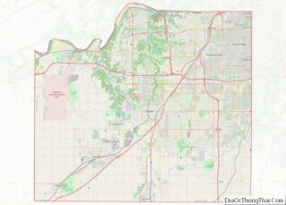
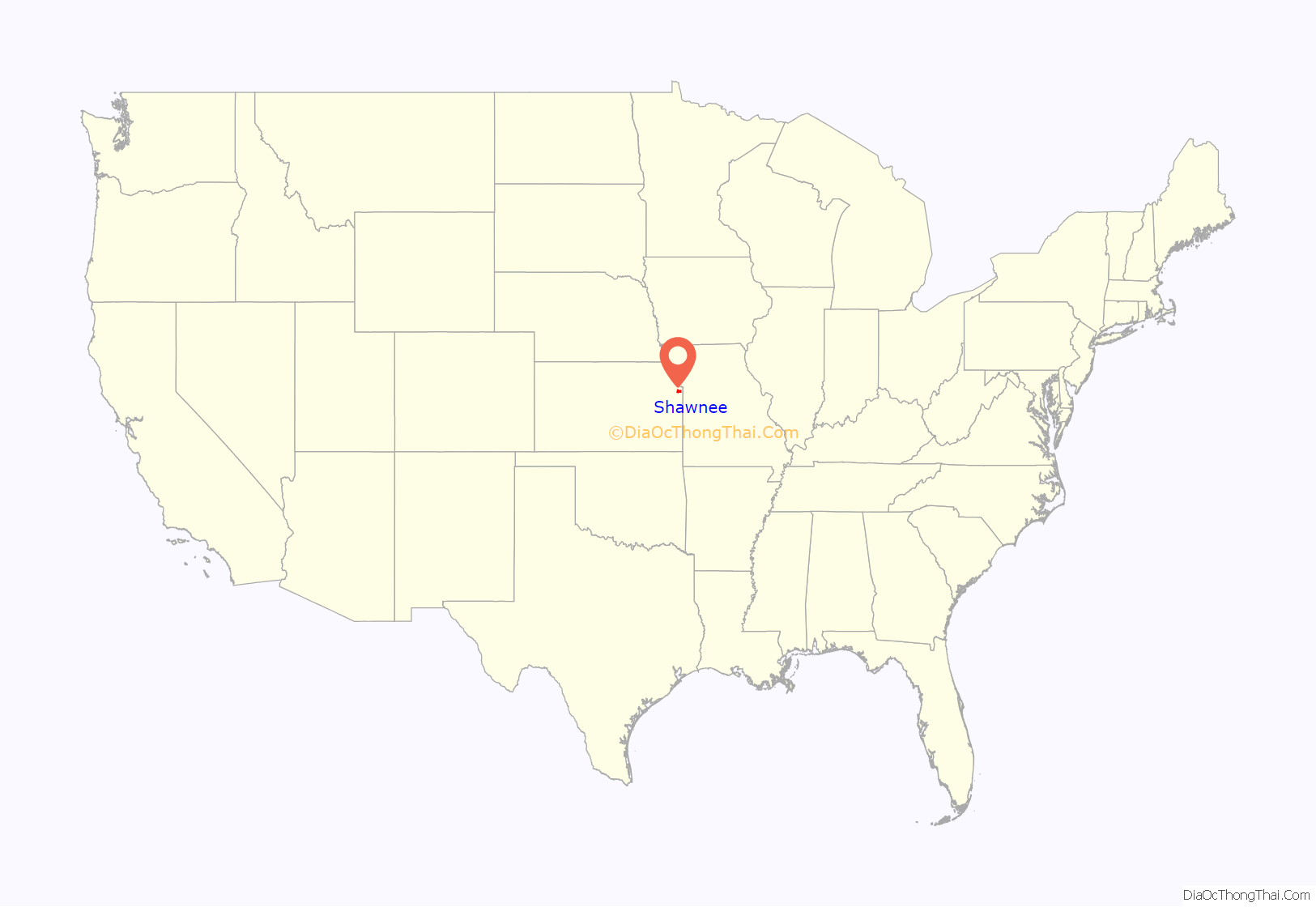
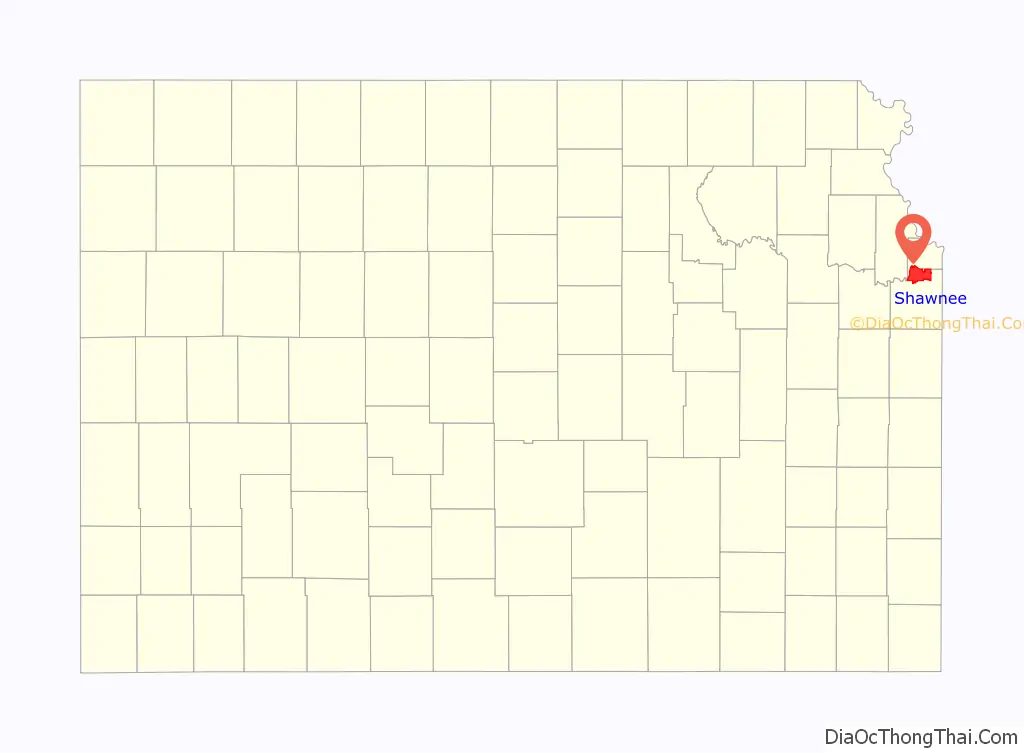
Shawnee location map. Where is Shawnee city?
History
Territory of Kansas
Before and after the American Civil War, Shawnee served as a government road that connected Fort Leavenworth to Fort Riley. During the mid 19th century, branches of the Oregon Trail and nearby Santa Fe Trail that travelled through, Olathe, Overland Park and Kansas City, Missouri saw settlers travel through the area. A Shawnee Indian mission had been established at the present site of Shawnee in 1831. Shawnee was laid out as a town in 1857. Kansas entered the union as a free state on January 29, 1861 to become the 34th state. The declaration of a free state, added to the tension between the anti-slave abolitionists and pro-slave Confederate guerrillas.
American Civil War
William Quantrill was a confederate Guerrilla Leader who led Confederate soldiers that were known as bushwhackers. In October 1862, Willam Quantrill ordered an attack on Shawnee, which saw the town pillaged and burned to the ground. Quantrill and his army of bushwhackers return in the summer of 1863, to raid and look for an escape route from Lawrence, which he was intending to sack. The raids on Shawnee served as a training exercise before attempting the full scale siege on Lawrence.
Shawnee was selected by Quantrill for its proximity to Lawrence, being 35 miles away (56 kms). Lawrence was established for the political reason of being an anti-slave town and had many clashes with the confederate army started before the American Civil War. The first documented event of Bleeding Kansas was the Wakarusa War that saw both sides clash and come to a temporary truce. This allowed Lawrence to add to its defenses before the Sacking of Lawrence. In August 1863, the Lawrence Massacre took place at the hands of William Quantrill. This saw 250 men corralled and murdered and $2.2 million from damages.
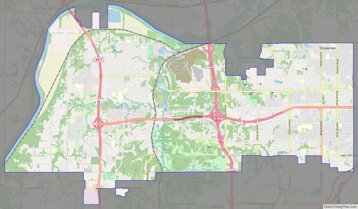
Shawnee Road Map
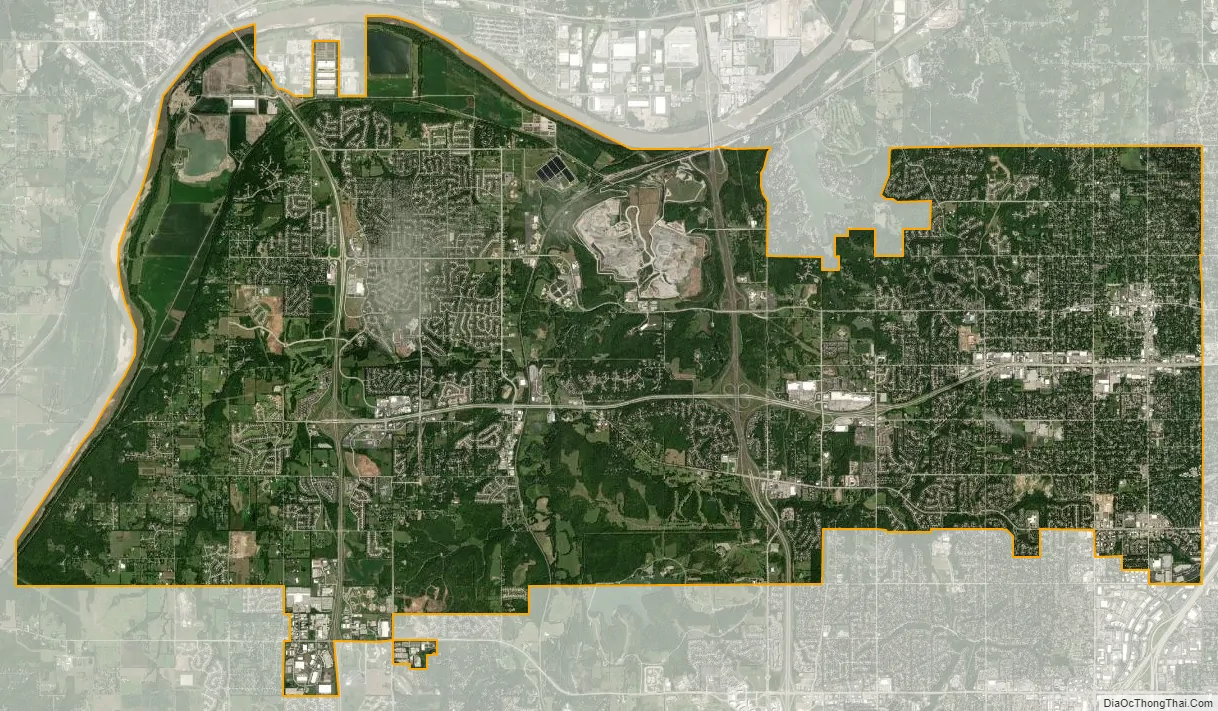
Shawnee city Satellite Map
Geography
Shawnee is located at 39°0′46″N 94°45′57″W / 39.01278°N 94.76583°W / 39.01278; -94.76583 (39.012767, -94.765818). According to the United States Census Bureau, the city has a total area of 42.86 square miles (111.01 km), of which, 41.85 square miles (108.39 km) is land and 1.01 square miles (2.62 km) is water.
Shawnee Mission Park is a 1,600-acre (6.5 km) park that includes a 120-acre (0.49 km) lake.
See also
Map of Kansas State and its subdivision:- Allen
- Anderson
- Atchison
- Barber
- Barton
- Bourbon
- Brown
- Butler
- Chase
- Chautauqua
- Cherokee
- Cheyenne
- Clark
- Clay
- Cloud
- Coffey
- Comanche
- Cowley
- Crawford
- Decatur
- Dickinson
- Doniphan
- Douglas
- Edwards
- Elk
- Ellis
- Ellsworth
- Finney
- Ford
- Franklin
- Geary
- Gove
- Graham
- Grant
- Gray
- Greeley
- Greenwood
- Hamilton
- Harper
- Harvey
- Haskell
- Hodgeman
- Jackson
- Jefferson
- Jewell
- Johnson
- Kearny
- Kingman
- Kiowa
- Labette
- Lane
- Leavenworth
- Lincoln
- Linn
- Logan
- Lyon
- Marion
- Marshall
- McPherson
- Meade
- Miami
- Mitchell
- Montgomery
- Morris
- Morton
- Nemaha
- Neosho
- Ness
- Norton
- Osage
- Osborne
- Ottawa
- Pawnee
- Phillips
- Pottawatomie
- Pratt
- Rawlins
- Reno
- Republic
- Rice
- Riley
- Rooks
- Rush
- Russell
- Saline
- Scott
- Sedgwick
- Seward
- Shawnee
- Sheridan
- Sherman
- Smith
- Stafford
- Stanton
- Stevens
- Sumner
- Thomas
- Trego
- Wabaunsee
- Wallace
- Washington
- Wichita
- Wilson
- Woodson
- Wyandotte
- Alabama
- Alaska
- Arizona
- Arkansas
- California
- Colorado
- Connecticut
- Delaware
- District of Columbia
- Florida
- Georgia
- Hawaii
- Idaho
- Illinois
- Indiana
- Iowa
- Kansas
- Kentucky
- Louisiana
- Maine
- Maryland
- Massachusetts
- Michigan
- Minnesota
- Mississippi
- Missouri
- Montana
- Nebraska
- Nevada
- New Hampshire
- New Jersey
- New Mexico
- New York
- North Carolina
- North Dakota
- Ohio
- Oklahoma
- Oregon
- Pennsylvania
- Rhode Island
- South Carolina
- South Dakota
- Tennessee
- Texas
- Utah
- Vermont
- Virginia
- Washington
- West Virginia
- Wisconsin
- Wyoming