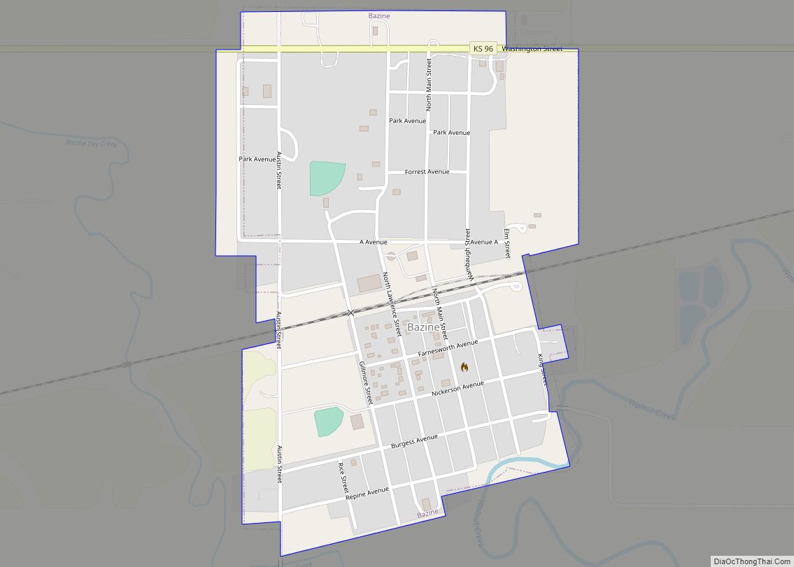
Bazine is a city in Ness County, Kansas, United States. As of the 2020 census, the population of the city was 282. Bazine city overview: Name: Bazine city LSAD Code: 25 LSAD Description: city (suffix) State: Kansas County: Ness County Founded: 1870s Incorporated: 1924 Elevation: 2,129 ft (649 m) Total Area: 0.45 sq mi (1.16 km²) Land Area: 0.45 sq mi (1.16 km²) ... Read more
Kansas Cities and Places
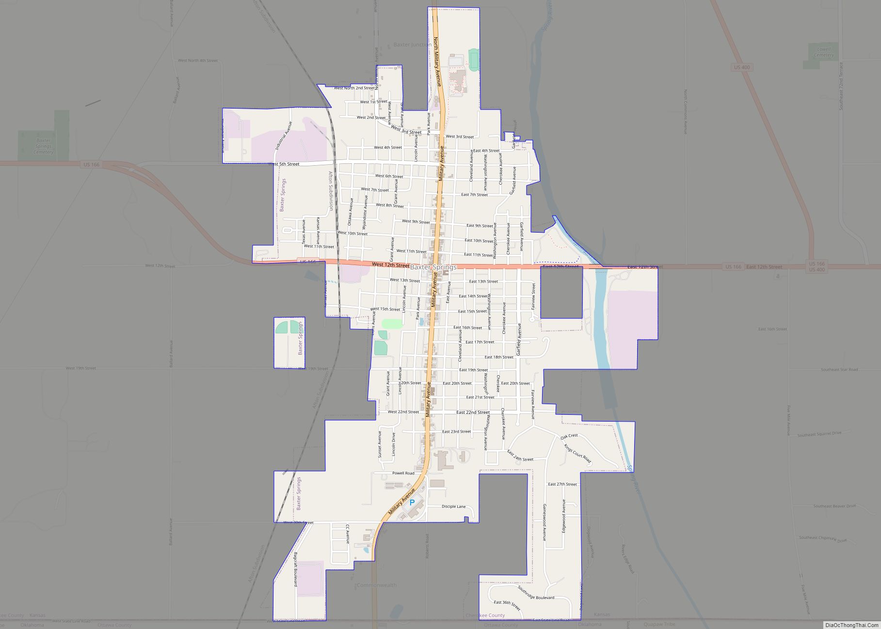
Baxter Springs is a city in Cherokee County, Kansas, United States, and located along Spring River. As of the 2020 census, the population of the city was 3,888. Baxter Springs city overview: Name: Baxter Springs city LSAD Code: 25 LSAD Description: city (suffix) State: Kansas County: Cherokee County Founded: 1858 Incorporated: 1868 Elevation: 843 ft (257 m) ... Read more
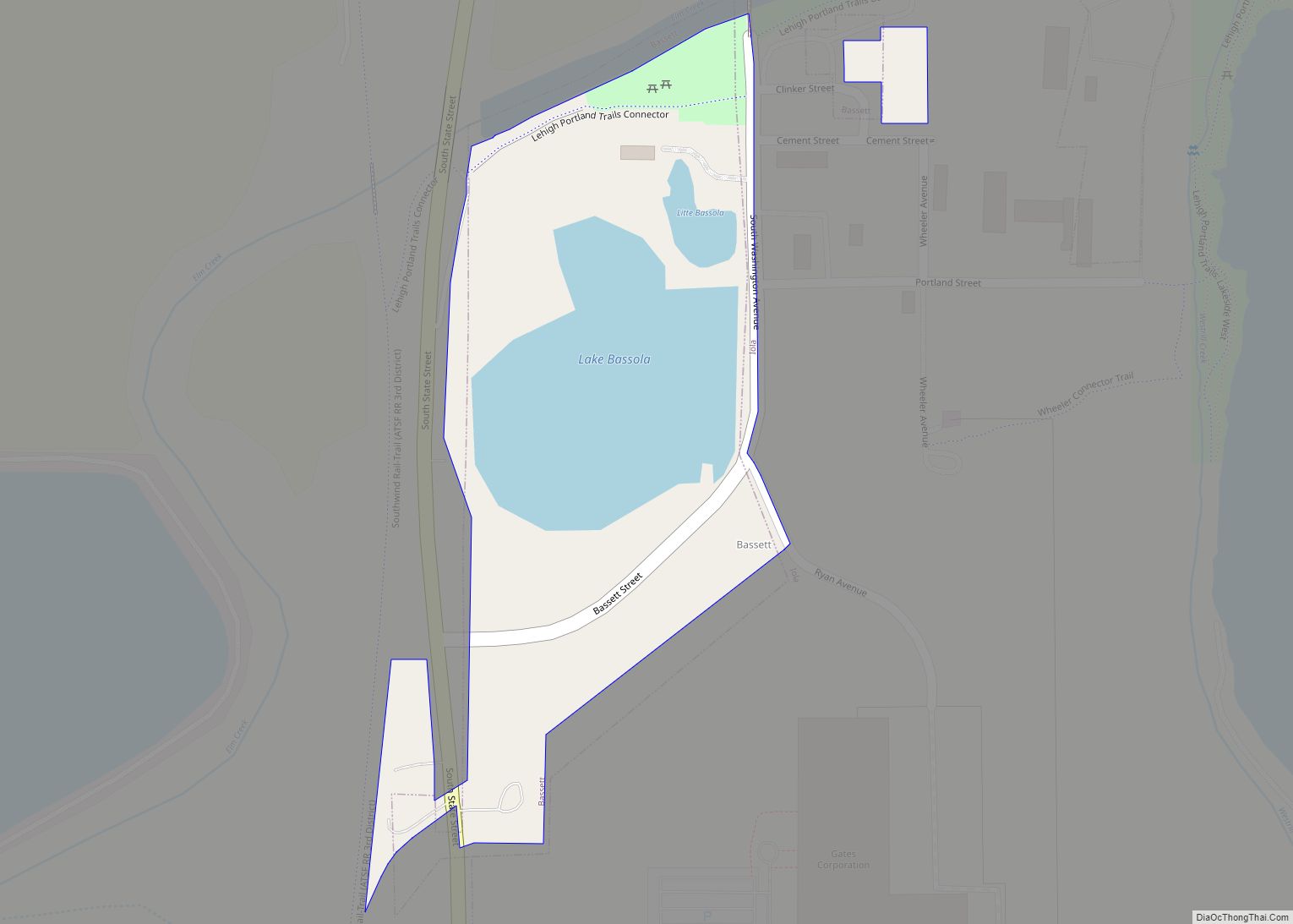
Bassett is a city in Allen County, Kansas, United States. It is situated along the Neosho River. As of the 2020 census, the population of the city was 20. Bassett city overview: Name: Bassett city LSAD Code: 25 LSAD Description: city (suffix) State: Kansas County: Allen County Founded: 1903 Incorporated: 1903 Elevation: 974 ft (297 m) Total ... Read more
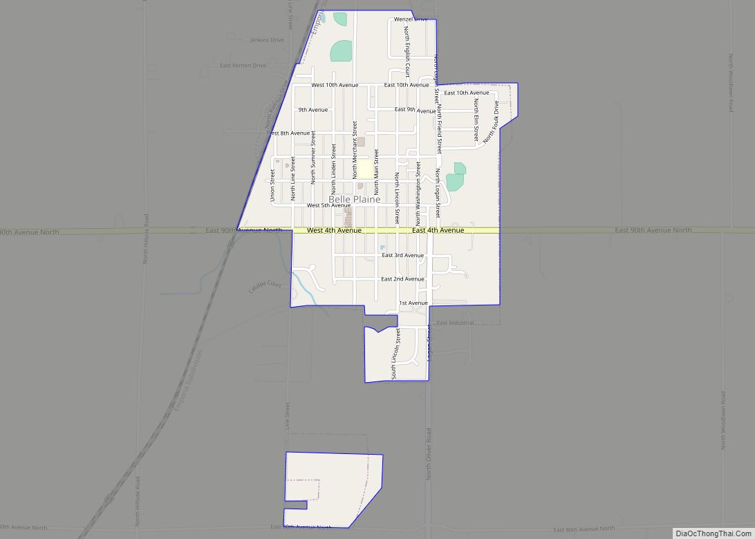
Belle Plaine is a city in Sumner County, Kansas, United States. As of the 2020 census, the population of the city was 1,467. Belle Plaine city overview: Name: Belle Plaine city LSAD Code: 25 LSAD Description: city (suffix) State: Kansas County: Sumner County Founded: 1871 Incorporated: 1884 Elevation: 1,224 ft (373 m) Total Area: 0.83 sq mi (2.15 km²) Land ... Read more
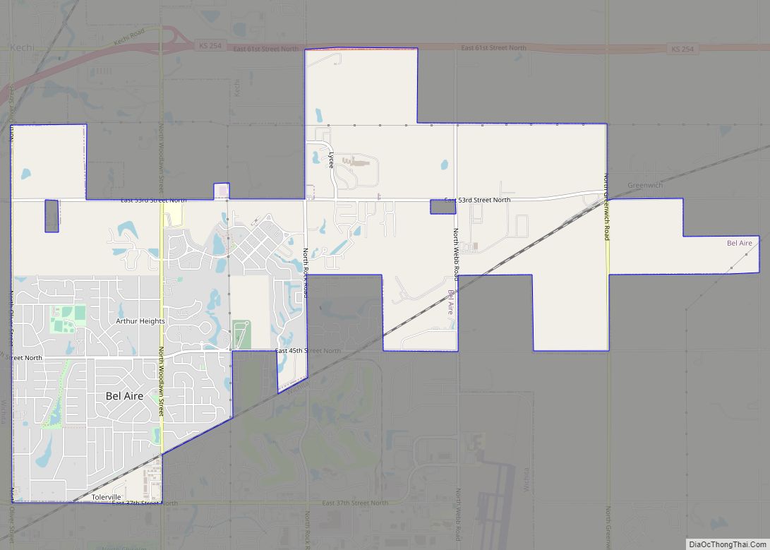
Bel Aire is a city in Sedgwick County, Kansas, United States, and a suburb of Wichita. As of the 2020 census, the population of the city was 8,262. Bel Aire city overview: Name: Bel Aire city LSAD Code: 25 LSAD Description: city (suffix) State: Kansas County: Sedgwick County Founded: 1955 Incorporated: 1980 Elevation: 1,394 ft (425 m) ... Read more
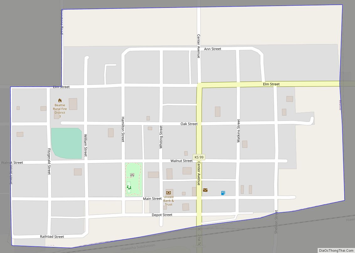
Beattie is a city in Marshall County, Kansas, United States. As of the 2020 census, the population of the city was 197. The city has been called “The Milo Capital of the World” and hosts the annual “Beattie Milo Festival”. Beattie city overview: Name: Beattie city LSAD Code: 25 LSAD Description: city (suffix) State: Kansas ... Read more
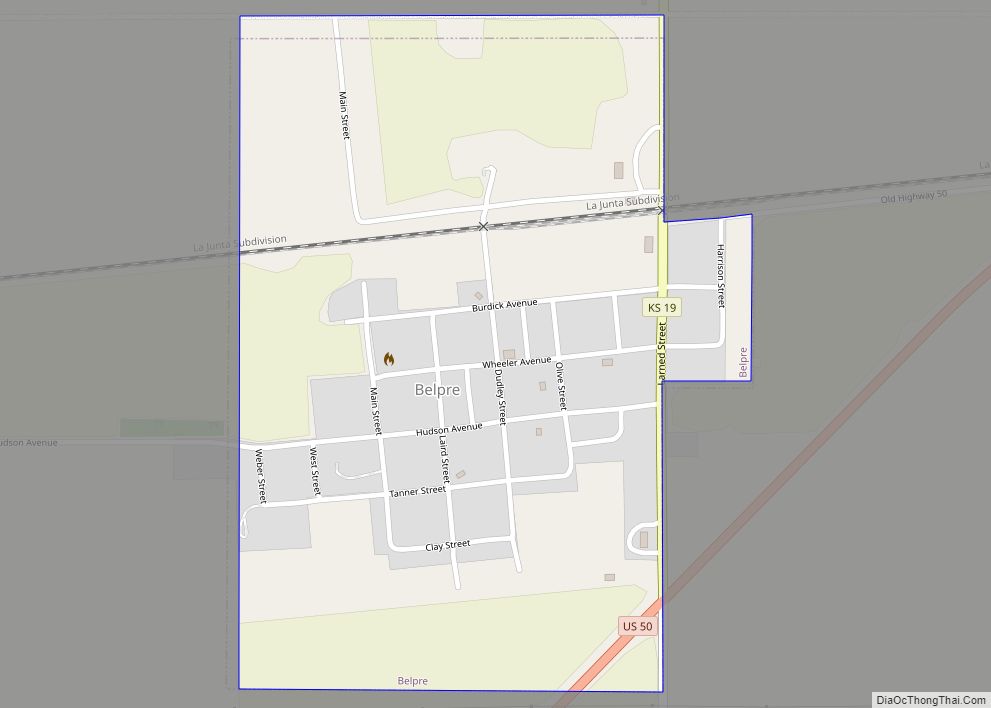
Belpre is a city in Edwards County, Kansas, United States. As of the 2020 census, the population of the city was 97. Belpre city overview: Name: Belpre city LSAD Code: 25 LSAD Description: city (suffix) State: Kansas County: Edwards County Founded: 1879 Incorporated: 1906 Elevation: 2,097 ft (639 m) Total Area: 0.41 sq mi (1.06 km²) Land Area: 0.41 sq mi (1.06 km²) ... Read more
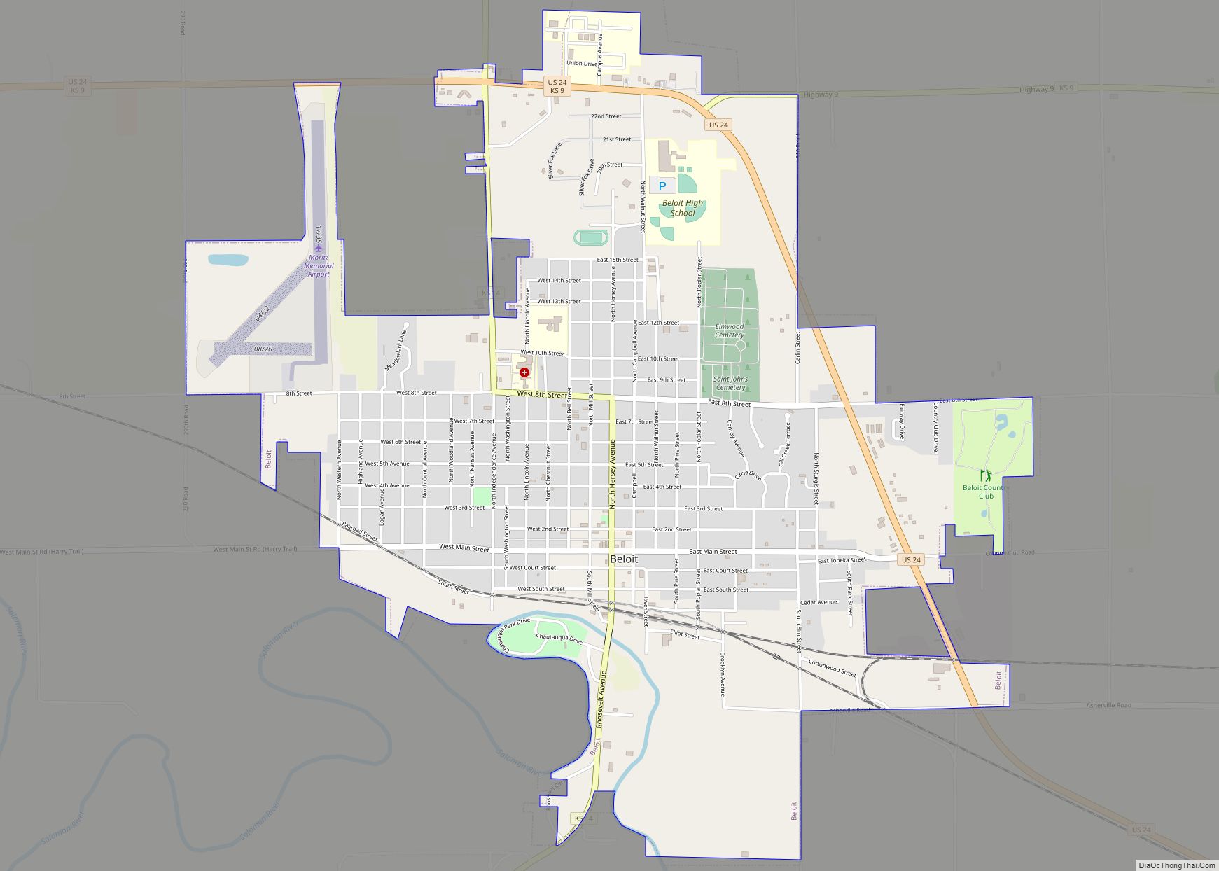
Beloit is a city in and the county seat of Mitchell County, Kansas, United States. As of the 2020 census, the population of the city was 3,404. Beloit city overview: Name: Beloit city LSAD Code: 25 LSAD Description: city (suffix) State: Kansas County: Mitchell County Incorporated: 1872 Elevation: 1,385 ft (422 m) Total Area: 3.94 sq mi (10.21 km²) Land ... Read more
Belleville is a city in and the county seat of Republic County, Kansas, United States. As of the 2020 census, the population of the city was 2,007. Belleville city overview: Name: Belleville city LSAD Code: 25 LSAD Description: city (suffix) State: Kansas County: Republic County Founded: 1869 Incorporated: 1887 Elevation: 1,549 ft (472 m) Total Area: 2.08 sq mi ... Read more
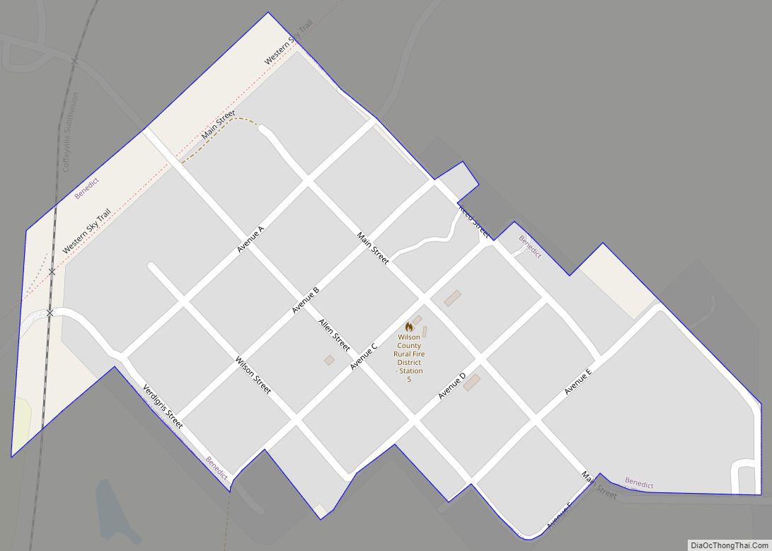
Benedict is a city in Wilson County, Kansas, United States, along the Verdigris River. As of the 2020 census, the population of the city was 69. Benedict city overview: Name: Benedict city LSAD Code: 25 LSAD Description: city (suffix) State: Kansas County: Wilson County Founded: 1866 Incorporated: 1905 Elevation: 853 ft (260 m) Total Area: 0.15 sq mi (0.38 km²) ... Read more
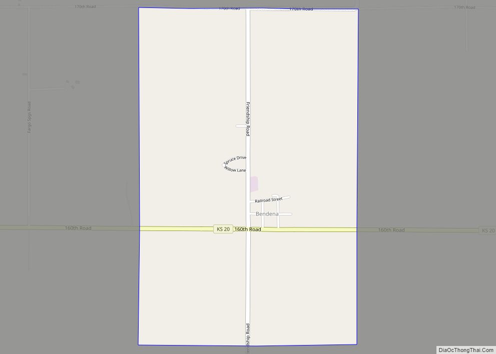
Bendena is an unincorporated community in Doniphan County, Kansas, United States. As of the 2020 census, the population of the community and nearby areas was 117. Bendena CDP overview: Name: Bendena CDP LSAD Code: 57 LSAD Description: CDP (suffix) State: Kansas County: Doniphan County Founded: 1886 Elevation: 1,112 ft (339 m) Total Area: 1.53 sq mi (3.96 km²) Land Area: ... Read more
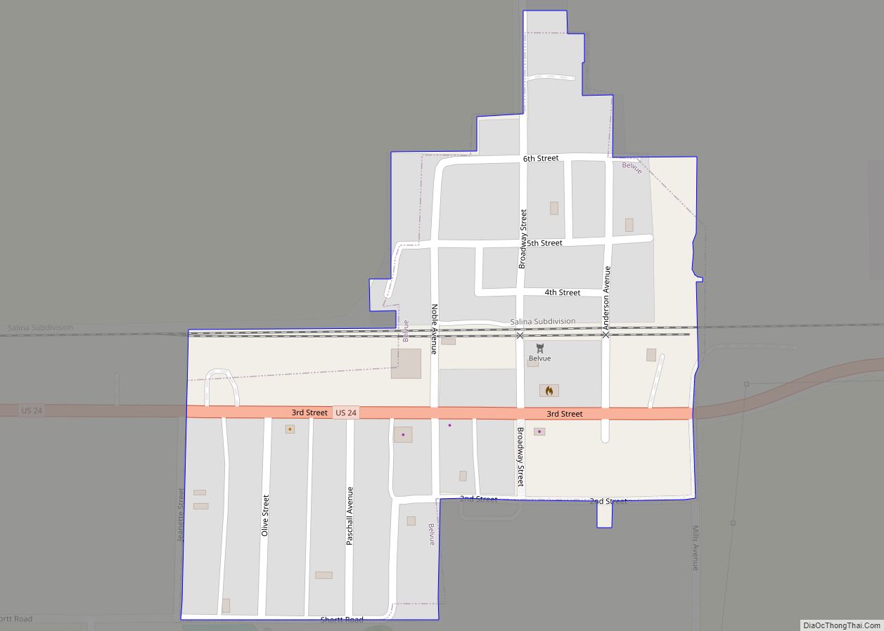
Belvue is a city in Pottawatomie County, Kansas, United States. As of the 2020 census, the population of the city was 177. Belvue city overview: Name: Belvue city LSAD Code: 25 LSAD Description: city (suffix) State: Kansas County: Pottawatomie County Incorporated: 1913 Elevation: 961 ft (293 m) Total Area: 0.12 sq mi (0.32 km²) Land Area: 0.12 sq mi (0.32 km²) Water Area: ... Read more
