Beloit is a city in and the county seat of Mitchell County, Kansas, United States. As of the 2020 census, the population of the city was 3,404.
| Name: | Beloit city |
|---|---|
| LSAD Code: | 25 |
| LSAD Description: | city (suffix) |
| State: | Kansas |
| County: | Mitchell County |
| Incorporated: | 1872 |
| Elevation: | 1,385 ft (422 m) |
| Total Area: | 3.94 sq mi (10.21 km²) |
| Land Area: | 3.92 sq mi (10.14 km²) |
| Water Area: | 0.03 sq mi (0.07 km²) |
| Total Population: | 3,404 |
| Population Density: | 860/sq mi (330/km²) |
| ZIP code: | 67420 |
| Area code: | 785 |
| FIPS code: | 2005775 |
| Website: | beloitks.org |
Online Interactive Map
Click on ![]() to view map in "full screen" mode.
to view map in "full screen" mode.
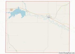
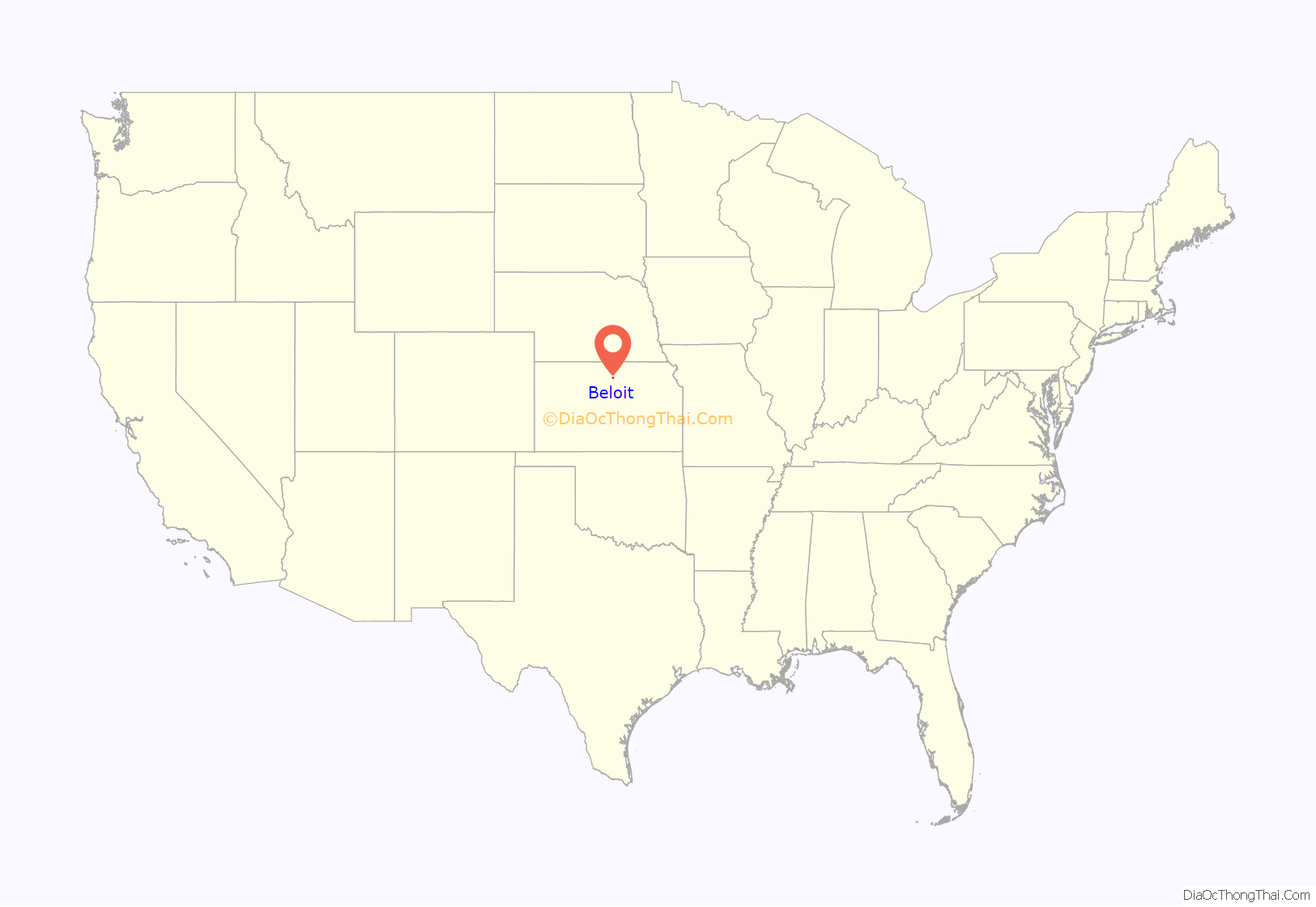
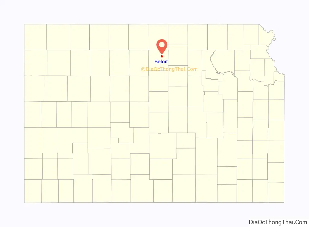
Beloit location map. Where is Beloit city?
History
On permanent organization of the county in 1870, Beloit was selected as the county seat of Mitchell County, Kansas, and is located northeast of the center of the county on the Solomon River. The town site of Beloit was first settled by A.A. Bell in 1868 with the idea of improving the water power and for some time was known as Willow Springs. Beloit is named after Beloit, Wisconsin, the native home of a first settler. Beloit sits at the junction of the Union Pacific and the Missouri Pacific Railroads.
Local legend has it that the local Indians advised Bell to locate the town at a certain bend of the Solomon river to protect the town from tornadoes. As of 2022, downtown Beloit has been hit with a tornado only once, in November 1922.
The town of Beloit was platted March 26, 1872, and the original description as found in the recorder’s office covers all of Section 9, and the south half of the southeast quarter and south half of the southwest quarter of Section 4, Town 7 and Range 7 west. The proprietors of the town were T.F. Hersey, A.A. Bell, George Campbell, Alexander Campbell, C.H. Morrill, Edward Valentine, W.C. Ingram, Daniel Kepler and Vinton Whitehurst. The town grew very rapidly, and in July 1872, was incorporated as a city of the third class. On March 10, 1879, Gov. John P. St. John proclaimed Beloit a city of the second class.
Beloit was home to the Beloit Juvenile Correctional Facility of the Kansas Juvenile Justice Authority.
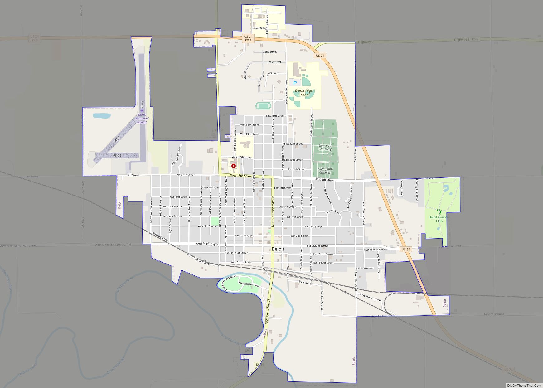
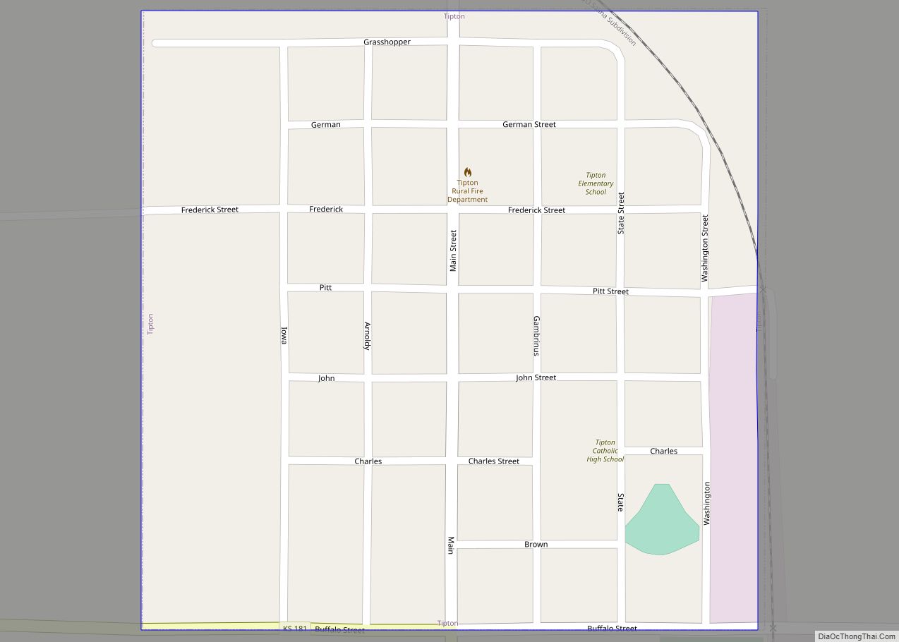
Beloit Road Map
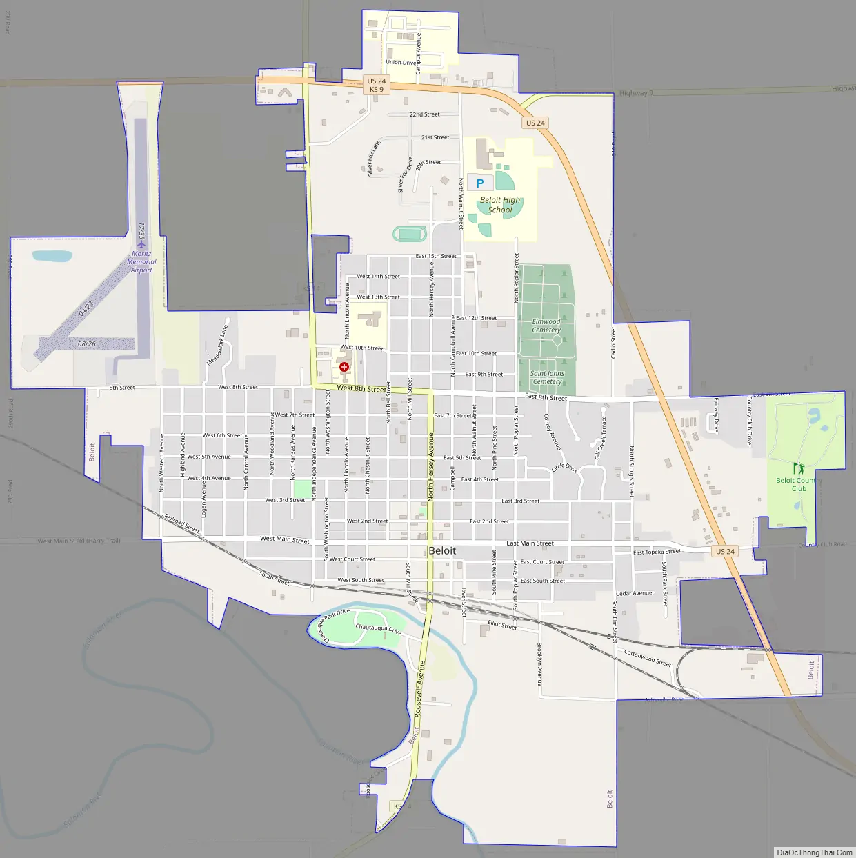
Beloit city Satellite Map
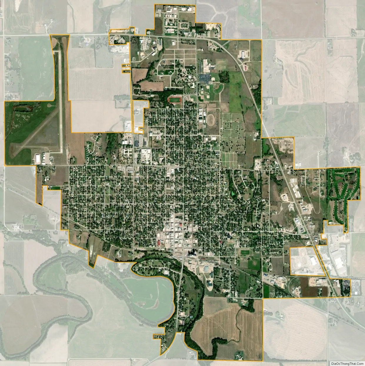
Geography
According to the United States Census Bureau, the city has a total area of 4.05 square miles (10.49 km), of which, 4.02 square miles (10.41 km) is land and 0.03 square miles (0.08 km) is water.
Climate
The climate in this area is characterized by hot, humid summers and generally mild to cool winters. According to the Köppen Climate Classification system, Beloit has a humid subtropical climate, abbreviated “Cfa” on climate maps.
See also
Map of Kansas State and its subdivision:- Allen
- Anderson
- Atchison
- Barber
- Barton
- Bourbon
- Brown
- Butler
- Chase
- Chautauqua
- Cherokee
- Cheyenne
- Clark
- Clay
- Cloud
- Coffey
- Comanche
- Cowley
- Crawford
- Decatur
- Dickinson
- Doniphan
- Douglas
- Edwards
- Elk
- Ellis
- Ellsworth
- Finney
- Ford
- Franklin
- Geary
- Gove
- Graham
- Grant
- Gray
- Greeley
- Greenwood
- Hamilton
- Harper
- Harvey
- Haskell
- Hodgeman
- Jackson
- Jefferson
- Jewell
- Johnson
- Kearny
- Kingman
- Kiowa
- Labette
- Lane
- Leavenworth
- Lincoln
- Linn
- Logan
- Lyon
- Marion
- Marshall
- McPherson
- Meade
- Miami
- Mitchell
- Montgomery
- Morris
- Morton
- Nemaha
- Neosho
- Ness
- Norton
- Osage
- Osborne
- Ottawa
- Pawnee
- Phillips
- Pottawatomie
- Pratt
- Rawlins
- Reno
- Republic
- Rice
- Riley
- Rooks
- Rush
- Russell
- Saline
- Scott
- Sedgwick
- Seward
- Shawnee
- Sheridan
- Sherman
- Smith
- Stafford
- Stanton
- Stevens
- Sumner
- Thomas
- Trego
- Wabaunsee
- Wallace
- Washington
- Wichita
- Wilson
- Woodson
- Wyandotte
- Alabama
- Alaska
- Arizona
- Arkansas
- California
- Colorado
- Connecticut
- Delaware
- District of Columbia
- Florida
- Georgia
- Hawaii
- Idaho
- Illinois
- Indiana
- Iowa
- Kansas
- Kentucky
- Louisiana
- Maine
- Maryland
- Massachusetts
- Michigan
- Minnesota
- Mississippi
- Missouri
- Montana
- Nebraska
- Nevada
- New Hampshire
- New Jersey
- New Mexico
- New York
- North Carolina
- North Dakota
- Ohio
- Oklahoma
- Oregon
- Pennsylvania
- Rhode Island
- South Carolina
- South Dakota
- Tennessee
- Texas
- Utah
- Vermont
- Virginia
- Washington
- West Virginia
- Wisconsin
- Wyoming