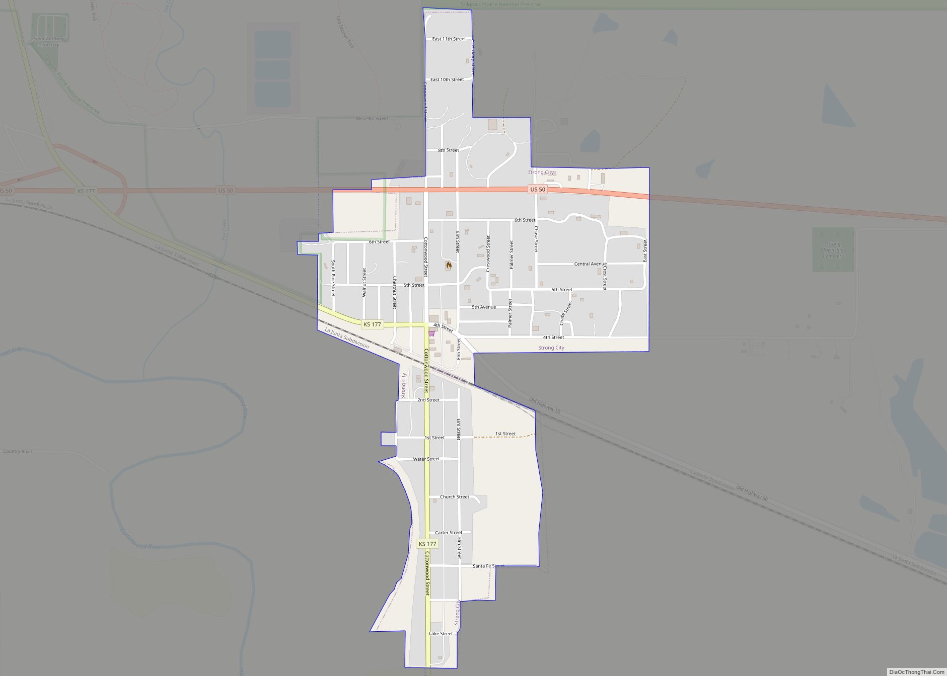
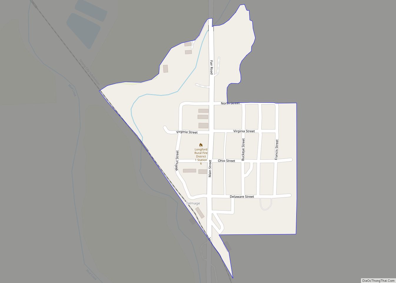
Map of Sterling city, Kansas

Map of Sterling city, Kansas

Sterling is a city in Rice County, Kansas, United States. As of the 2020 census, the population of the city was 2,248. Sterling is home to Sterling College. Sterling city overview: Name: Sterling city LSAD Code: 25 LSAD Description: city (suffix) State: Kansas County: Rice County Founded: 1872 (Peace) Incorporated: 1876 Elevation: 1,641 ft (500 m) Total … Read more

Map of Sun City, Kansas

Map of Sun City, Kansas

Sun City is a city in Barber County, Kansas, United States, along the Medicine Lodge River. As of the 2020 census, the population of the city was 37. Sun City overview: Name: Sun City LSAD Code: 25 LSAD Description: city (suffix) State: Kansas County: Barber County Founded: 1872 Incorporated: 1919 Elevation: 1,677 ft (511 m) Total Area: … Read more

Map of Summerfield city, Kansas

Map of Summerfield city, Kansas

Summerfield is a city in Marshall County, Kansas, United States. As of the 2020 census, the population of the city was 125. The Kansas–Nebraska state border is the north edge of the city. Summerfield city overview: Name: Summerfield city LSAD Code: 25 LSAD Description: city (suffix) State: Kansas County: Marshall County Founded: about 1889 Incorporated: … Read more

Map of Sublette city, Kansas

Map of Sublette city, Kansas

Sublette is a city in and the county seat of Haskell County, Kansas, United States. As of the 2020 census, the population of the city was 1,413. Sublette city overview: Name: Sublette city LSAD Code: 25 LSAD Description: city (suffix) State: Kansas County: Haskell County Founded: 1912 Incorporated: 1923 Elevation: 2,914 ft (888 m) Total Area: 1.05 sq mi … Read more

Map of Sylvia city

Map of Sylvia city

Sylvia is a city in Reno County, Kansas, United States. As of the 2020 census, the population of the city was 215. Sylvia city overview: Name: Sylvia city LSAD Code: 25 LSAD Description: city (suffix) State: Kansas County: Reno County Founded: 1874 Incorporated: 1887 Elevation: 1,736 ft (529 m) Total Area: 0.29 sq mi (0.75 km²) Land Area: 0.29 sq mi (0.75 km²) … Read more

Map of Sylvan Grove city

Map of Sylvan Grove city

Sylvan Grove is a city in Lincoln County, Kansas, United States. As of the 2020 census, the population of the city was 291. Sylvan Grove city overview: Name: Sylvan Grove city LSAD Code: 25 LSAD Description: city (suffix) State: Kansas County: Lincoln County Founded: 1877 Incorporated: 1899 Elevation: 1,444 ft (440 m) Total Area: 0.39 sq mi (1.00 km²) Land … Read more

Map of Susank city

Map of Susank city

Susank is a city in Barton County, Kansas, United States. As of the 2020 census, the population of the city was 31. Susank city overview: Name: Susank city LSAD Code: 25 LSAD Description: city (suffix) State: Kansas County: Barton County Founded: 1920s Incorporated: 1940 Elevation: 1,965 ft (599 m) Total Area: 0.10 sq mi (0.26 km²) Land Area: 0.10 sq mi (0.26 km²) … Read more

Map of Tampa city, Kansas

Map of Tampa city, Kansas

Tampa is a city in Marion County, Kansas, United States. As of the 2020 census the population of the city was 105. It is located between Durham and Ramona and is next to a railroad. Tampa city overview: Name: Tampa city LSAD Code: 25 LSAD Description: city (suffix) State: Kansas County: Marion County Incorporated: 1908 … Read more

Map of Talmage CDP, Kansas

Map of Talmage CDP, Kansas

Talmage is an unincorporated community in Dickinson County, Kansas, United States. As of the 2020 census, the population of the city was 78. Talmage CDP overview: Name: Talmage CDP LSAD Code: 57 LSAD Description: CDP (suffix) State: Kansas County: Dickinson County Elevation: 1,211 ft (369 m) Total Area: 0.10 sq mi (0.25 km²) Land Area: 0.10 sq mi (0.25 km²) Water Area: 0.0 sq mi … Read more

Map of Syracuse city, Kansas

Map of Syracuse city, Kansas

Syracuse is a city in and the county seat of Hamilton County, Kansas, United States. As of the 2020 census, the population of the city was 1,826. Syracuse city overview: Name: Syracuse city LSAD Code: 25 LSAD Description: city (suffix) State: Kansas County: Hamilton County Founded: 1873 Incorporated: 1887 Elevation: 3,232 ft (985 m) Total Area: 4.10 sq mi … Read more

Map of The Highlands city

Map of The Highlands city

The Highlands is a city in Reno County, Kansas, United States. As of the 2020 census, the population of the city was 349. It is located north of the city of Hutchinson. The Highlands city overview: Name: The Highlands city LSAD Code: 25 LSAD Description: city (suffix) State: Kansas County: Reno County Incorporated: July 25, … Read more

Map of Thayer city, Kansas

Map of Thayer city, Kansas

Thayer is a city in Neosho County, Kansas, United States. As of the 2020 census, the population of the city was 432. Thayer city overview: Name: Thayer city LSAD Code: 25 LSAD Description: city (suffix) State: Kansas County: Neosho County Founded: 1870 Incorporated: 1871 Elevation: 1,034 ft (315 m) Total Area: 0.80 sq mi (2.07 km²) Land Area: 0.75 sq mi (1.95 km²) … Read more