Talmage is an unincorporated community in Dickinson County, Kansas, United States. As of the 2020 census, the population of the city was 78.
| Name: | Talmage CDP |
|---|---|
| LSAD Code: | 57 |
| LSAD Description: | CDP (suffix) |
| State: | Kansas |
| County: | Dickinson County |
| Elevation: | 1,211 ft (369 m) |
| Total Area: | 0.10 sq mi (0.25 km²) |
| Land Area: | 0.10 sq mi (0.25 km²) |
| Water Area: | 0.0 sq mi (0.0 km²) |
| Total Population: | 78 |
| Population Density: | 810/sq mi (310/km²) |
| Area code: | 785 |
| FIPS code: | 2069925 |
Online Interactive Map
Click on ![]() to view map in "full screen" mode.
to view map in "full screen" mode.
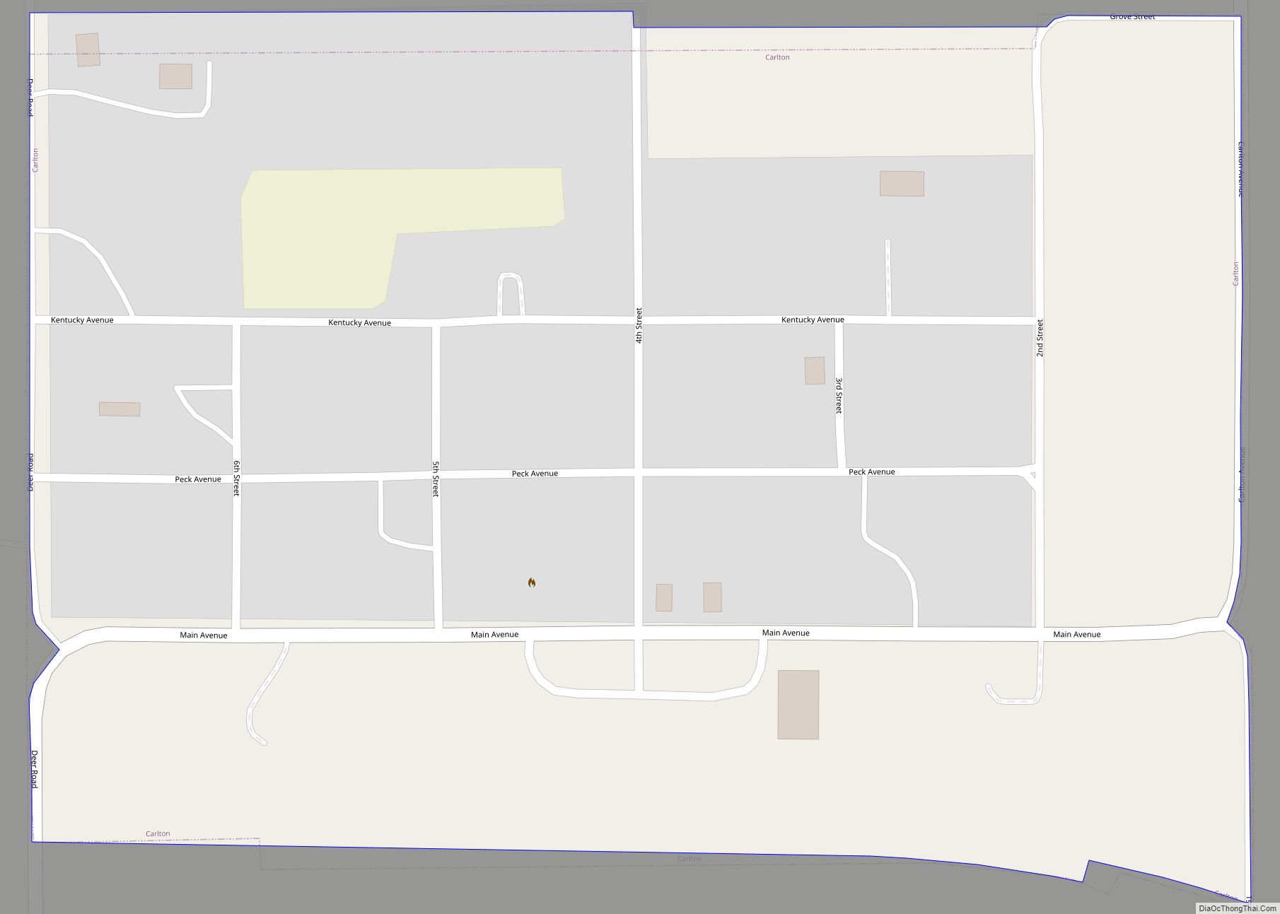
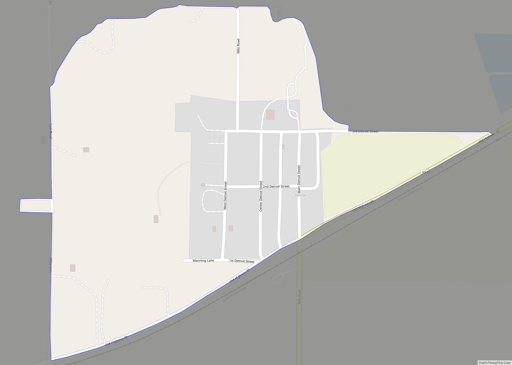
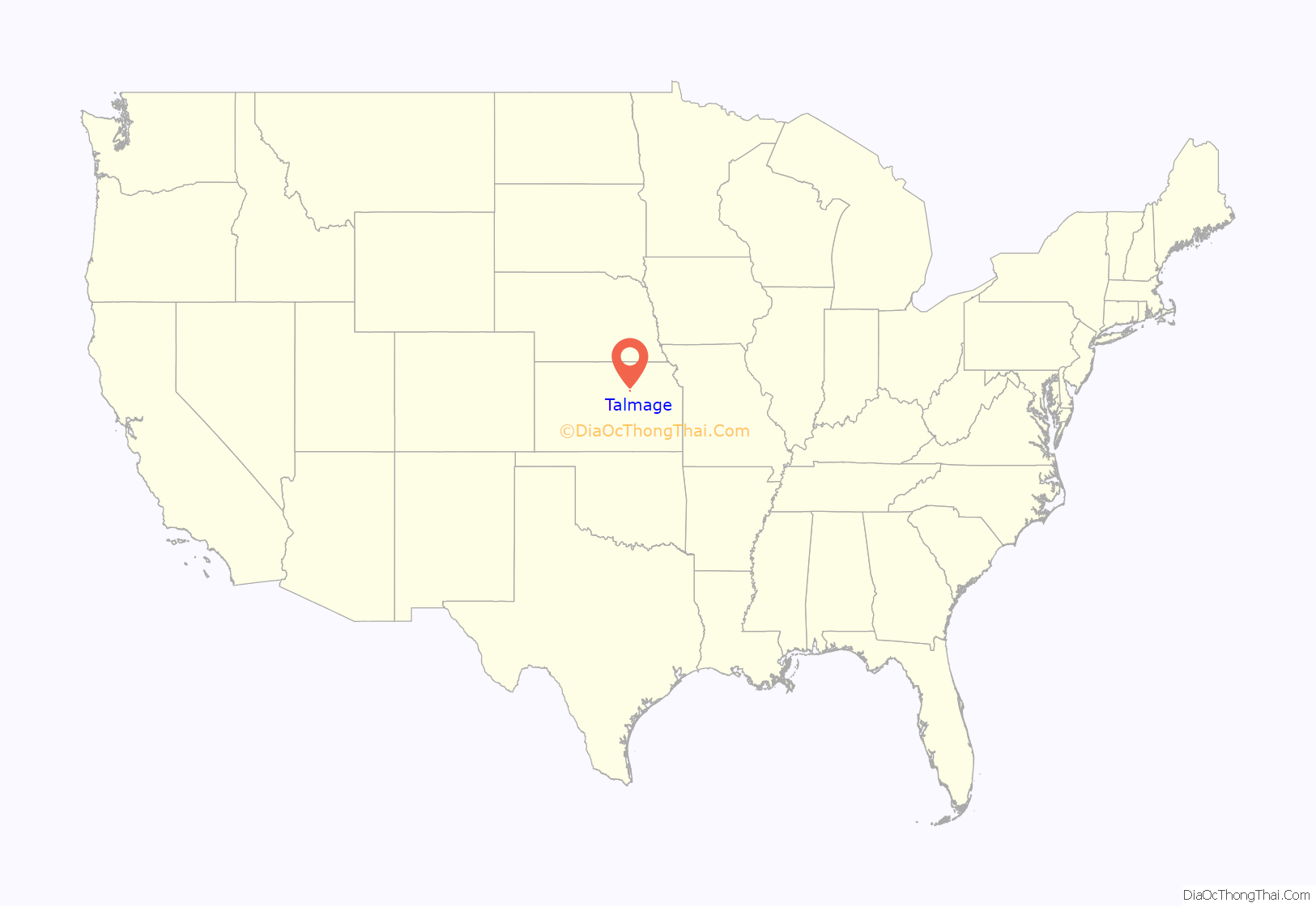
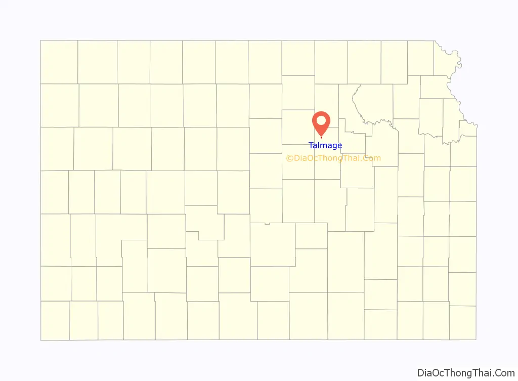
Talmage location map. Where is Talmage CDP?
History
In 1887, the Atchison, Topeka and Santa Fe Railway (ATSF) built a branch line from Neva (three miles west of Strong City) through Talmage to Superior, Nebraska. In 1996, the ATSF merged with the Burlington Northern Railroad, forming the current BNSF Railway. Most locals still refer to this railroad as the “Santa Fe”.
The post office was established on December 22, 1887.
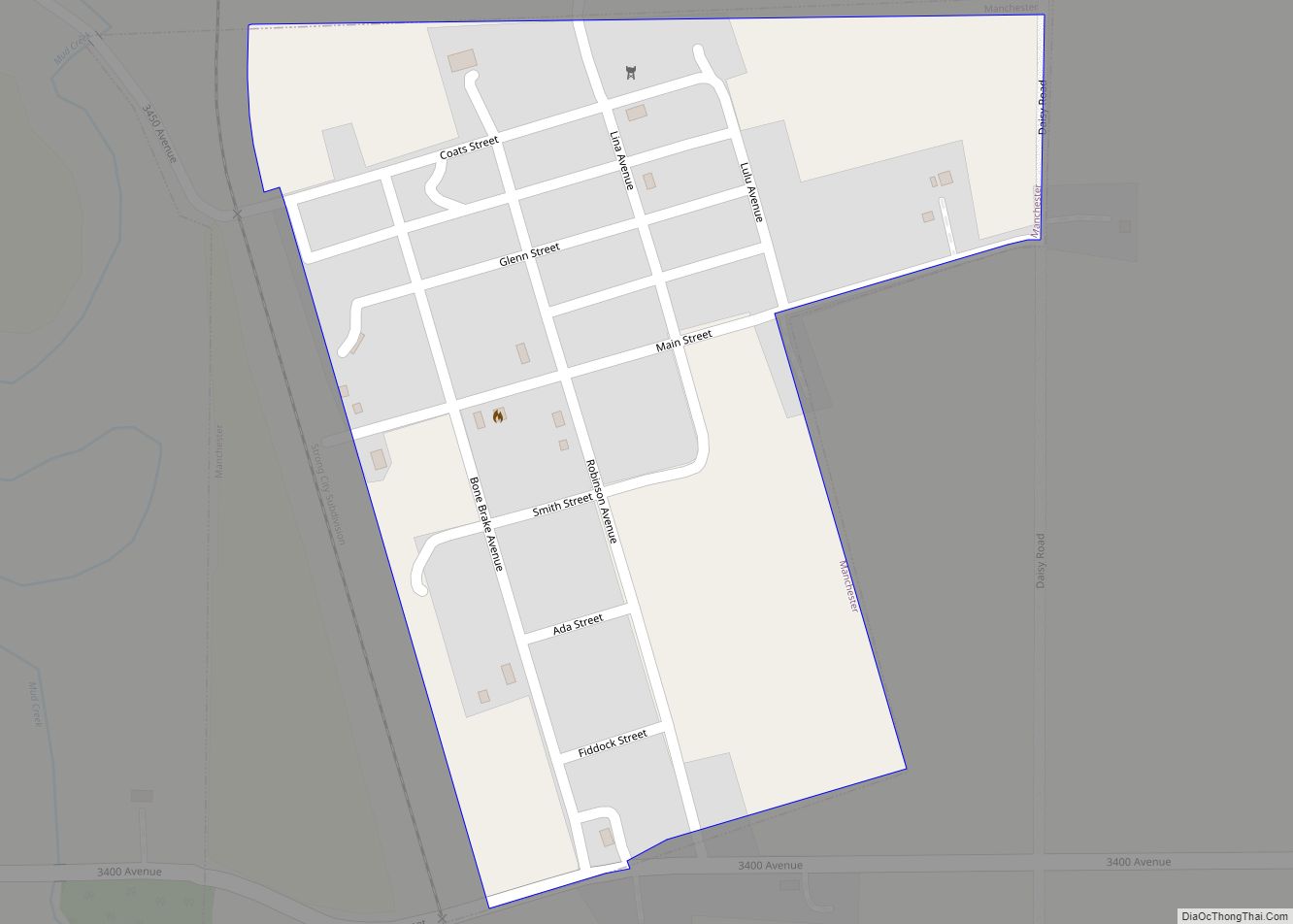
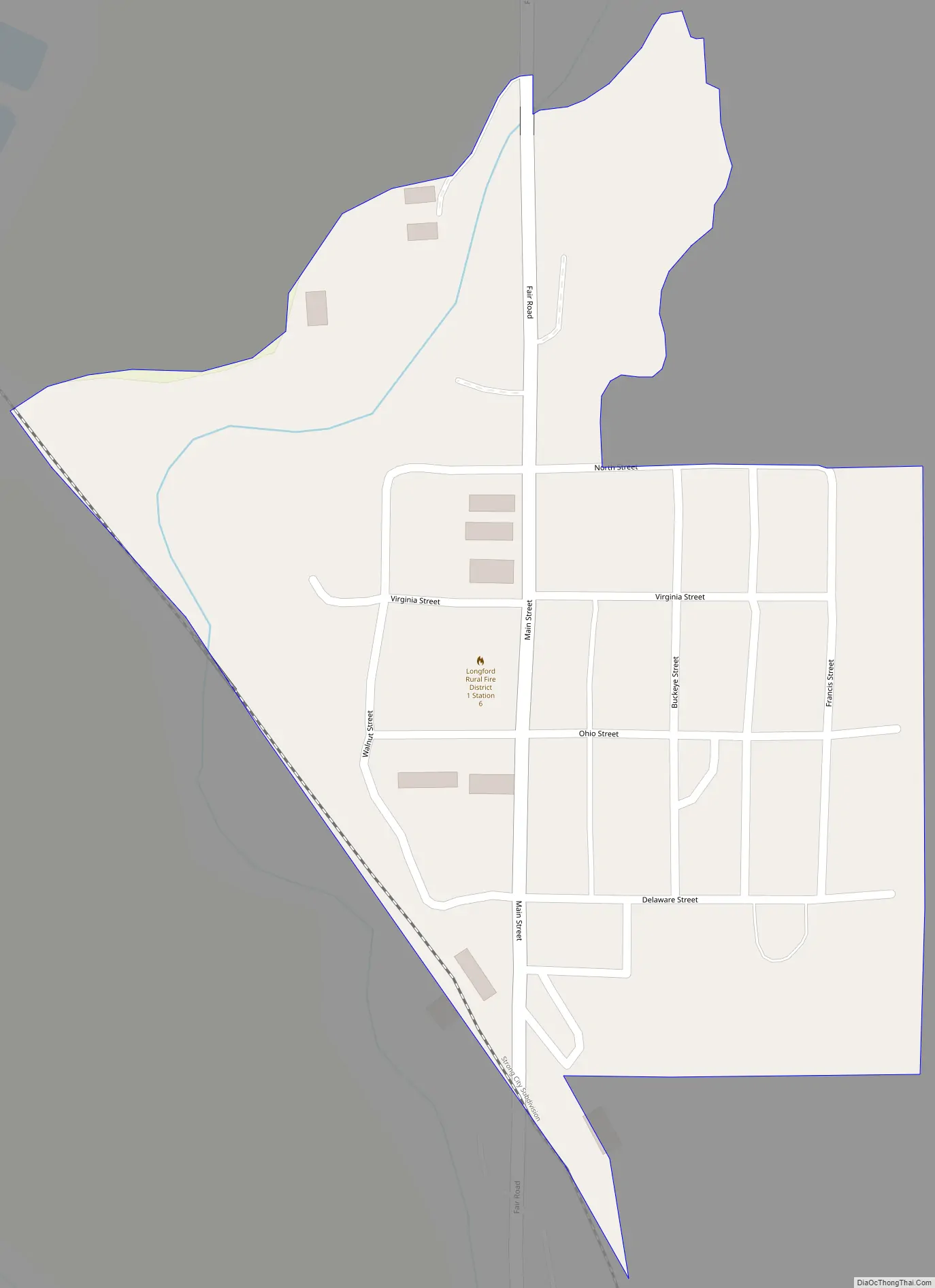
Talmage Road Map
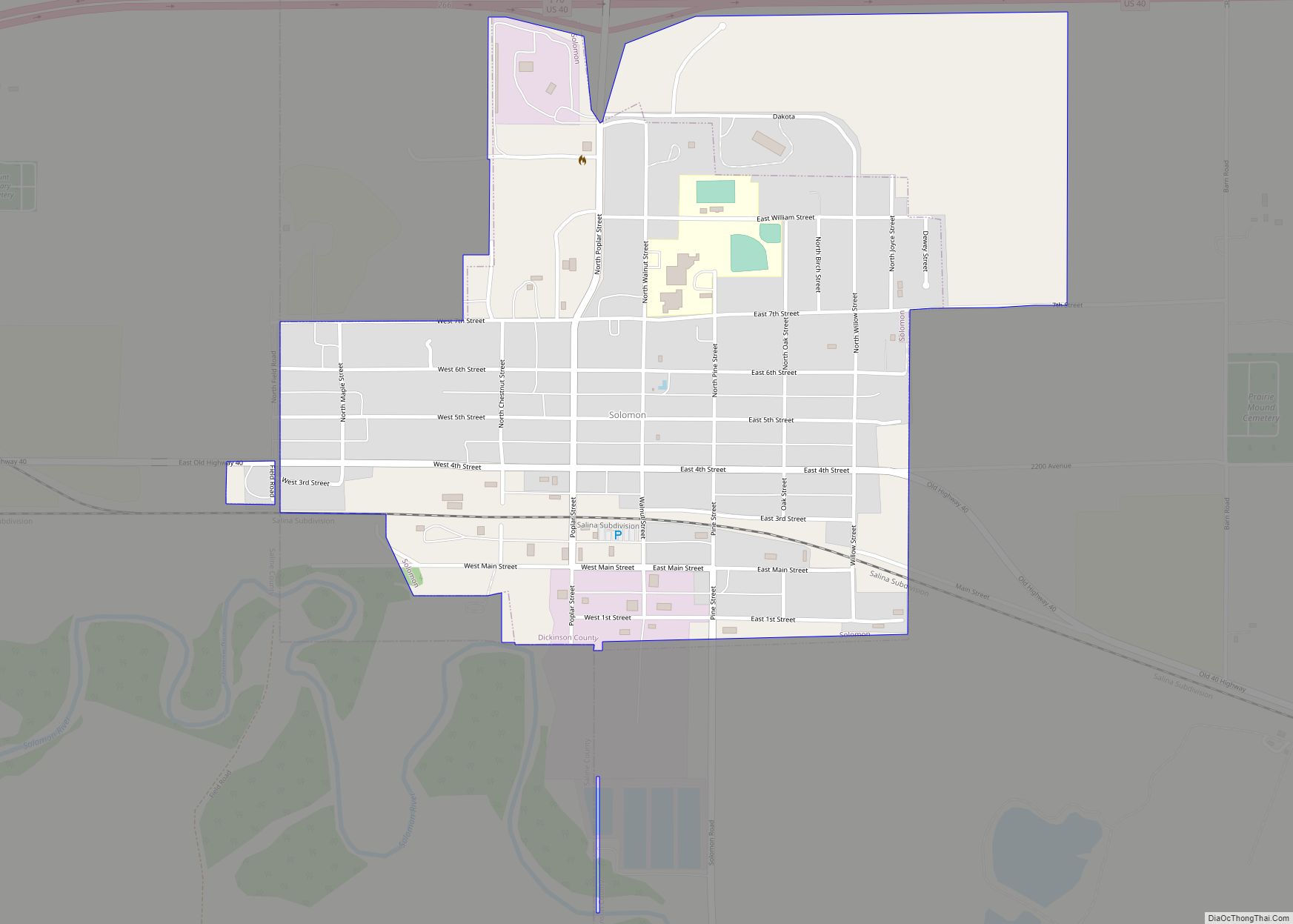
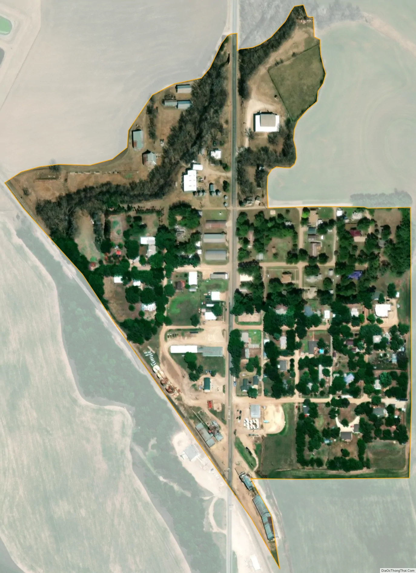
Talmage city Satellite Map
Geography
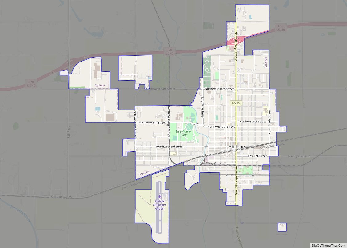
Talmage is located in northwestern Dickinson County, just south of state highway K-18 in the valley of Mud Creek. Via K-18 and K-15, the county seat of Abilene is 11 miles (18 km) to the southeast. According to the U.S. Census Bureau, Talmage has an area of 0.10 square miles (0.25 km), all of it land.
See also
Map of Kansas State and its subdivision:- Allen
- Anderson
- Atchison
- Barber
- Barton
- Bourbon
- Brown
- Butler
- Chase
- Chautauqua
- Cherokee
- Cheyenne
- Clark
- Clay
- Cloud
- Coffey
- Comanche
- Cowley
- Crawford
- Decatur
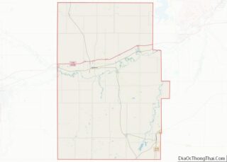
- Dickinson
- Doniphan
- Douglas
- Edwards
- Elk
- Ellis
- Ellsworth
- Finney
- Ford
- Franklin
- Geary
- Gove
- Graham
- Grant
- Gray
- Greeley
- Greenwood
- Hamilton
- Harper
- Harvey
- Haskell
- Hodgeman
- Jackson
- Jefferson
- Jewell
- Johnson
- Kearny
- Kingman
- Kiowa
- Labette
- Lane
- Leavenworth
- Lincoln
- Linn
- Logan
- Lyon
- Marion
- Marshall
- McPherson
- Meade
- Miami
- Mitchell
- Montgomery
- Morris
- Morton
- Nemaha
- Neosho
- Ness
- Norton
- Osage
- Osborne
- Ottawa
- Pawnee
- Phillips
- Pottawatomie
- Pratt
- Rawlins
- Reno
- Republic
- Rice
- Riley
- Rooks
- Rush
- Russell
- Saline
- Scott
- Sedgwick
- Seward
- Shawnee
- Sheridan
- Sherman
- Smith
- Stafford
- Stanton
- Stevens
- Sumner
- Thomas
- Trego
- Wabaunsee
- Wallace
- Washington
- Wichita
- Wilson
- Woodson
- Wyandotte
- Alabama
- Alaska
- Arizona
- Arkansas
- California
- Colorado
- Connecticut
- Delaware
- District of Columbia
- Florida
- Georgia
- Hawaii
- Idaho
- Illinois
- Indiana
- Iowa
- Kansas
- Kentucky
- Louisiana
- Maine
- Maryland
- Massachusetts
- Michigan
- Minnesota
- Mississippi
- Missouri
- Montana
- Nebraska
- Nevada
- New Hampshire
- New Jersey
- New Mexico
- New York
- North Carolina
- North Dakota
- Ohio
- Oklahoma
- Oregon
- Pennsylvania
- Rhode Island
- South Carolina
- South Dakota
- Tennessee
- Texas
- Utah
- Vermont
- Virginia
- Washington
- West Virginia
- Wisconsin
- Wyoming