Syracuse is a city in and the county seat of Hamilton County, Kansas, United States. As of the 2020 census, the population of the city was 1,826.
| Name: | Syracuse city |
|---|---|
| LSAD Code: | 25 |
| LSAD Description: | city (suffix) |
| State: | Kansas |
| County: | Hamilton County |
| Founded: | 1873 |
| Incorporated: | 1887 |
| Elevation: | 3,232 ft (985 m) |
| Total Area: | 4.10 sq mi (10.62 km²) |
| Land Area: | 4.10 sq mi (10.62 km²) |
| Water Area: | 0.00 sq mi (0.00 km²) |
| Total Population: | 1,826 |
| Population Density: | 450/sq mi (170/km²) |
| ZIP code: | 67878 |
| Area code: | 620 |
| FIPS code: | 2069850 |
| Website: | syracuseks.gov |
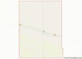
Online Interactive Map
Click on ![]() to view map in "full screen" mode.
to view map in "full screen" mode.
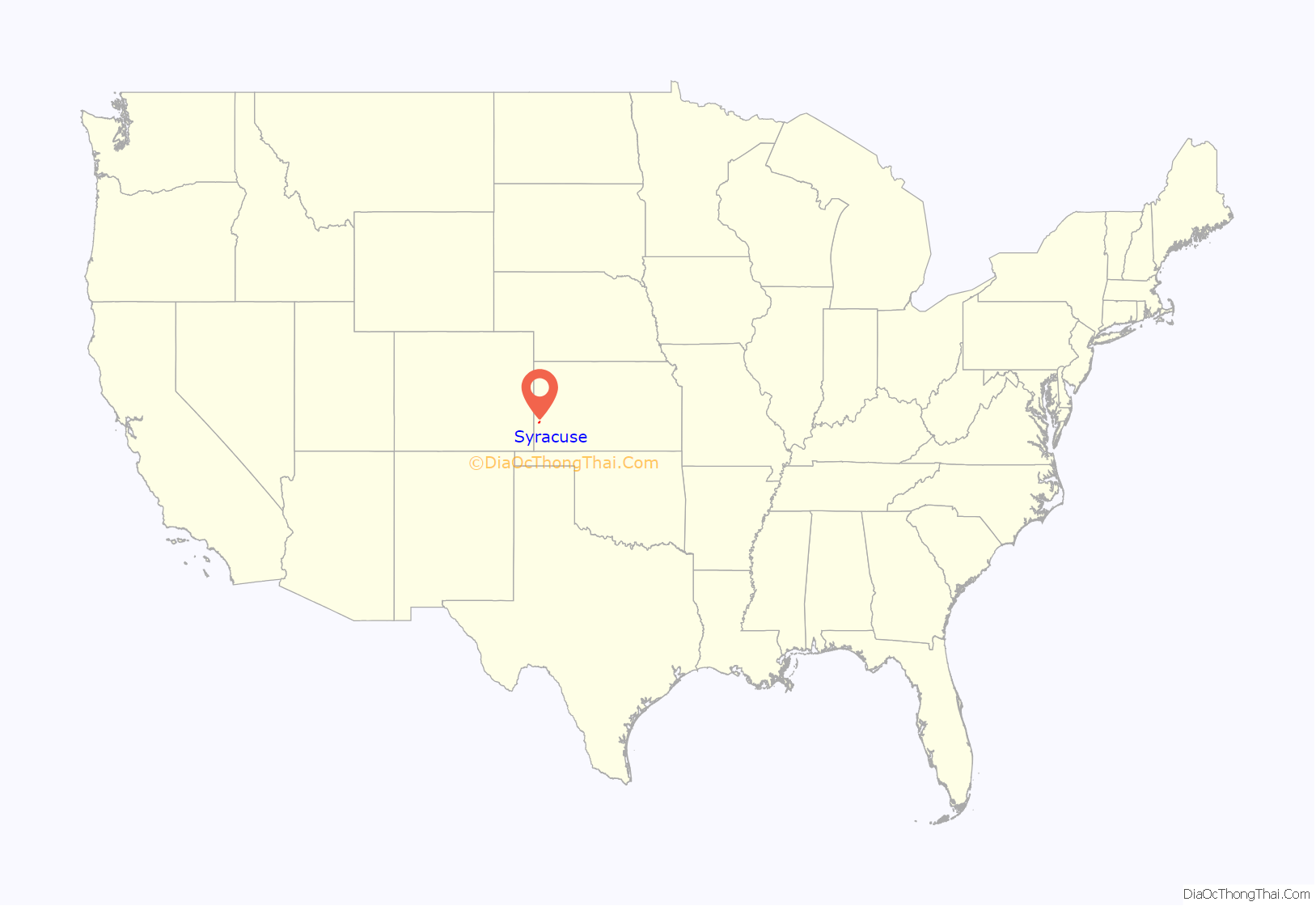
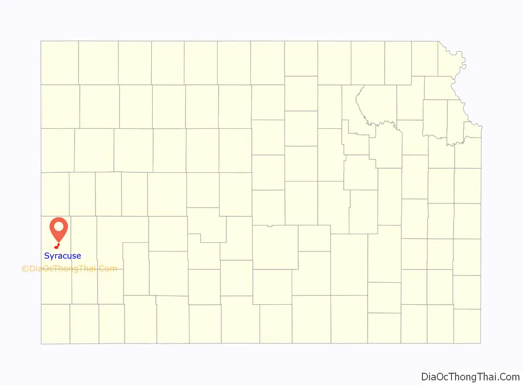
Syracuse location map. Where is Syracuse city?
History
Syracuse began its existence as a stop on the Atchison, Topeka and Santa Fe Railway. The site was originally called Holidayburg or Holliday in honor of Cyrus K. Holliday, first President of the ATSF railway. In 1873 a group of settlers from Syracuse, New York arrived and the site was renamed to Syracuse. In 1886, Syracuse was recognized as the county seat of Hamilton County. Syracuse secured its place in American history on April 5, 1887 by electing an all-woman city council, the first in the nation. The council consisted of Mrs. N. E. Wheeler (mayor), Caroline Johnson Barber, Mrs. W. A. Swartwood, Mrs. S. P. Nott, Mrs. Charles Coe, and Mrs. G. C. Riggles.
By 1912, Syracuse was home to more than a thousand souls, 2 banks, a hotel belonging to the Fred Harvey Company, a flour mill, several machine shops, 2 weekly newspapers (Syracuse Journal and the Republican-News), 4 churches, a county high school with 10 teachers, a telegraph and express office, and an international money order post office.
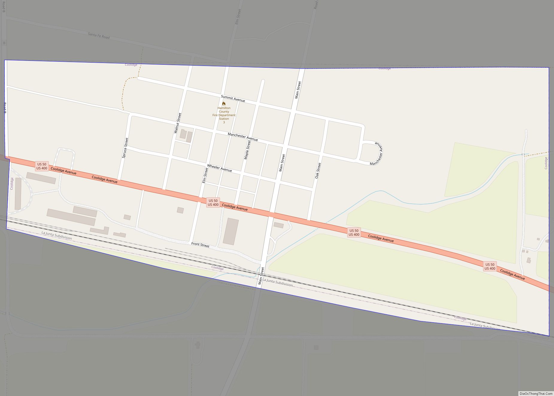
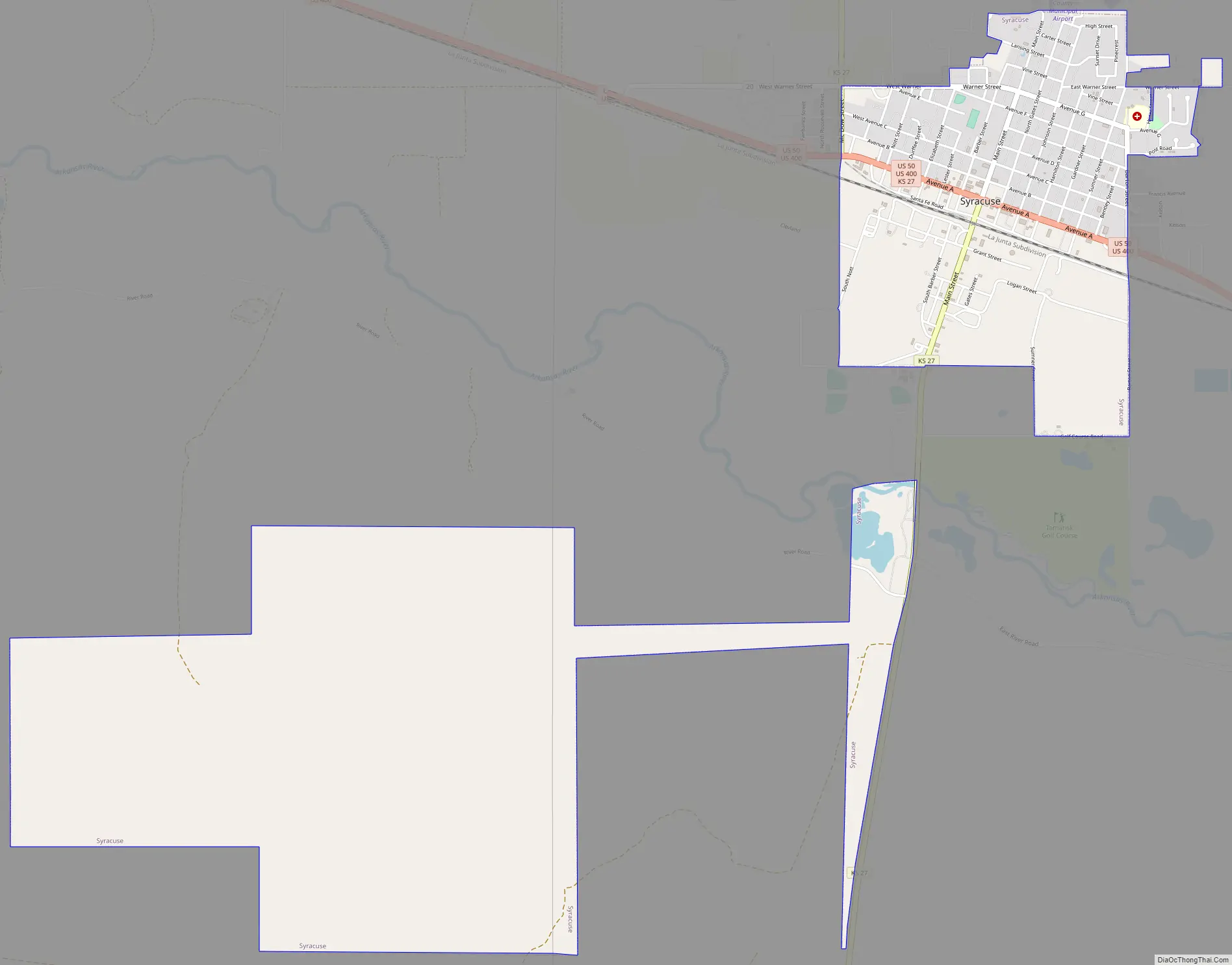
Syracuse Road Map
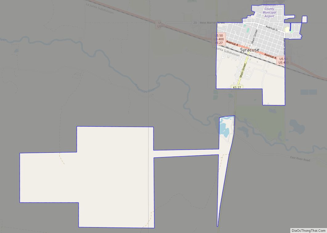
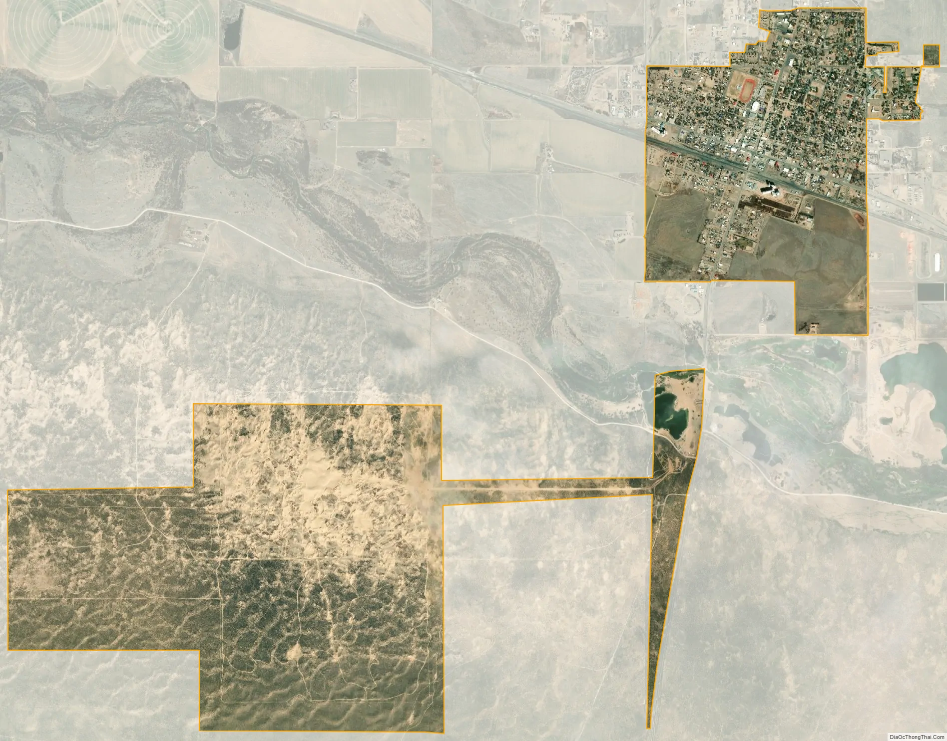
Syracuse city Satellite Map
Geography
Syracuse is located at 37°58′59″N 101°45′04″W / 37.982938°N 101.751224°W / 37.982938; -101.751224 (37.982938, -101.751224), along U.S. Route 50 and the Atchison, Topeka and Santa Fe Railway, sixteen miles (twenty-six kilometers) from the Colorado border. The Arkansas River runs just south of the City of Syracuse. The countryside south of the Arkansas River is marked by sandhills. Located within these sandhills is the “Syracuse Sand Dunes,” a city park covering 1,300 acres (5.3 km), including a 40-acre (160,000 m) fishing pond.
According to the United States Census Bureau, the city has a total area of 4.10 square miles (10.62 km), all of it land.
Climate
According to the Köppen Climate Classification system, Syracuse has a semi-arid climate, abbreviated “BSk” on climate maps.
See also
Map of Kansas State and its subdivision:- Allen
- Anderson
- Atchison
- Barber
- Barton
- Bourbon
- Brown
- Butler
- Chase
- Chautauqua
- Cherokee
- Cheyenne
- Clark
- Clay
- Cloud
- Coffey
- Comanche
- Cowley
- Crawford
- Decatur
- Dickinson
- Doniphan
- Douglas
- Edwards
- Elk
- Ellis
- Ellsworth
- Finney
- Ford
- Franklin
- Geary
- Gove
- Graham
- Grant
- Gray
- Greeley
- Greenwood
- Hamilton
- Harper
- Harvey
- Haskell
- Hodgeman
- Jackson
- Jefferson
- Jewell
- Johnson
- Kearny
- Kingman
- Kiowa
- Labette
- Lane
- Leavenworth
- Lincoln
- Linn
- Logan
- Lyon
- Marion
- Marshall
- McPherson
- Meade
- Miami
- Mitchell
- Montgomery
- Morris
- Morton
- Nemaha
- Neosho
- Ness
- Norton
- Osage
- Osborne
- Ottawa
- Pawnee
- Phillips
- Pottawatomie
- Pratt
- Rawlins
- Reno
- Republic
- Rice
- Riley
- Rooks
- Rush
- Russell
- Saline
- Scott
- Sedgwick
- Seward
- Shawnee
- Sheridan
- Sherman
- Smith
- Stafford
- Stanton
- Stevens
- Sumner
- Thomas
- Trego
- Wabaunsee
- Wallace
- Washington
- Wichita
- Wilson
- Woodson
- Wyandotte
- Alabama
- Alaska
- Arizona
- Arkansas
- California
- Colorado
- Connecticut
- Delaware
- District of Columbia
- Florida
- Georgia
- Hawaii
- Idaho
- Illinois
- Indiana
- Iowa
- Kansas
- Kentucky
- Louisiana
- Maine
- Maryland
- Massachusetts
- Michigan
- Minnesota
- Mississippi
- Missouri
- Montana
- Nebraska
- Nevada
- New Hampshire
- New Jersey
- New Mexico
- New York
- North Carolina
- North Dakota
- Ohio
- Oklahoma
- Oregon
- Pennsylvania
- Rhode Island
- South Carolina
- South Dakota
- Tennessee
- Texas
- Utah
- Vermont
- Virginia
- Washington
- West Virginia
- Wisconsin
- Wyoming