Map of Wakarusa CDP, Kansas

Map of Wakarusa CDP, Kansas

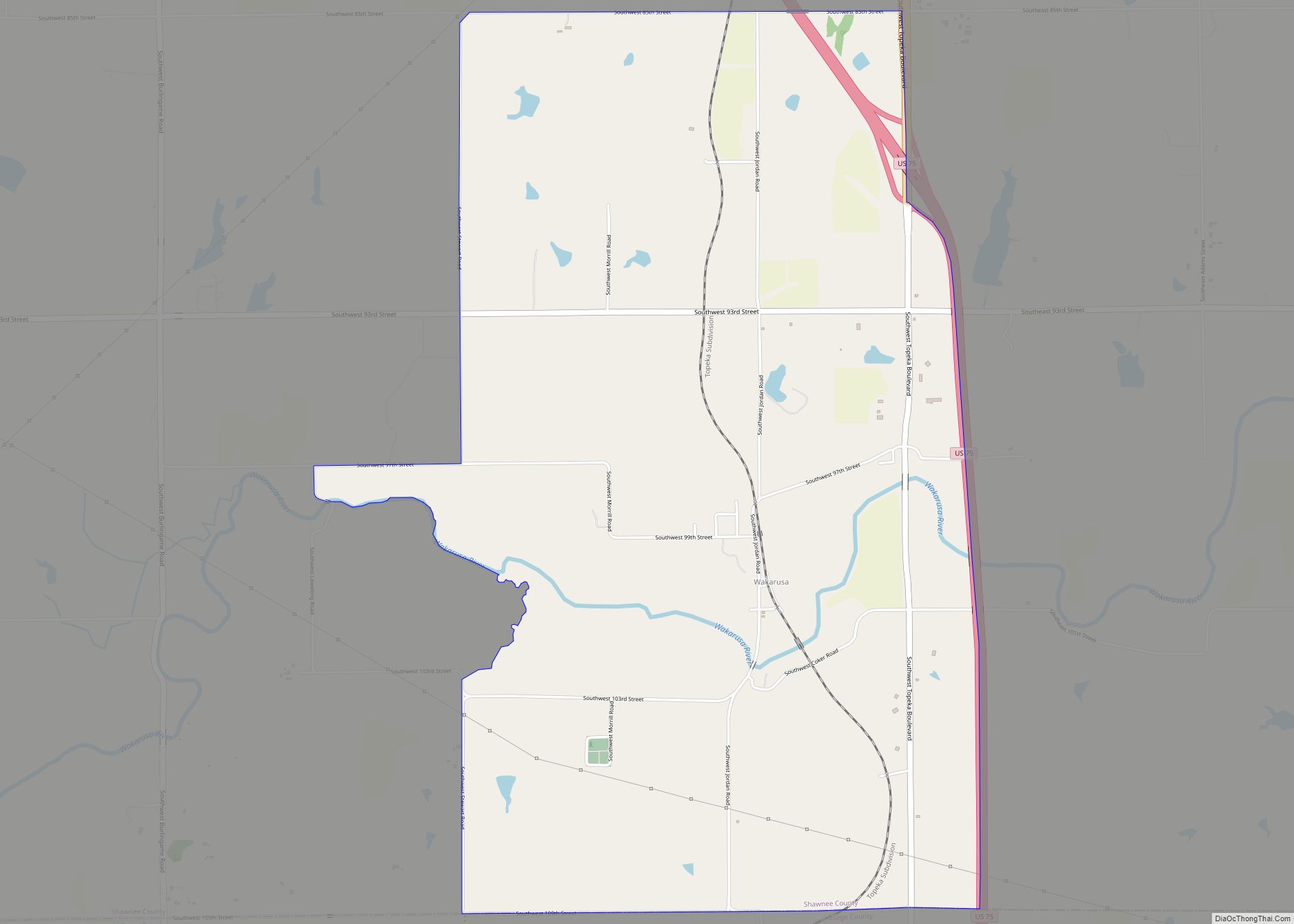
Wakarusa is an unincorporated community in Shawnee County, Kansas, United States. As of the 2020 census, the population of the community and nearby areas was 242. It is located 11 miles (18 km) south of downtown Topeka. Wakarusa is also the name of an unincorporated community in adjacent Douglas County, Kansas, 6.6 mi (10.6 km) southwest of downtown … Read more

Map of Wallace city, Kansas

Map of Wallace city, Kansas

Wallace is a city in Wallace County, Kansas, United States. As of the 2020 census, the population of the city was 41. Wallace city overview: Name: Wallace city LSAD Code: 25 LSAD Description: city (suffix) State: Kansas County: Wallace County Founded: 1870s Incorporated: 1887 Elevation: 3,314 ft (1,010 m) Total Area: 0.40 sq mi (1.04 km²) Land Area: 0.40 sq mi (1.04 km²) … Read more

Map of Waldron city, Kansas

Map of Waldron city, Kansas

Waldron is a city in Harper County, Kansas, United States. As of the 2020 census, the population of the city was 9. The south edge of the city is the Kansas / Oklahoma state border. Waldron city overview: Name: Waldron city LSAD Code: 25 LSAD Description: city (suffix) State: Kansas County: Harper County Founded: 1900 … Read more

Map of Waldo city, Kansas

Map of Waldo city, Kansas

Waldo is a city in Waldo Township, Russell County, Kansas, United States. As of the 2020 census, the population of the city was 30. Waldo city overview: Name: Waldo city LSAD Code: 25 LSAD Description: city (suffix) State: Kansas County: Russell County Founded: 1888 Incorporated: 1911 Elevation: 1,713 ft (522 m) Total Area: 0.38 sq mi (0.97 km²) Land Area: … Read more

Map of Wamego city

Map of Wamego city

Wamego /wɔːˈmiːɡoʊ/ is a city in Pottawatomie County, Kansas, United States. As of the 2020 census, the population of the city was 4,841. Wamego city overview: Name: Wamego city LSAD Code: 25 LSAD Description: city (suffix) State: Kansas County: Pottawatomie County, Wabaunsee County Incorporated: 1869 Elevation: 991 ft (302 m) Total Area: 2.41 sq mi (6.25 km²) Land Area: 2.37 sq mi … Read more

Map of Walton city, Kansas

Map of Walton city, Kansas

Walton is a city in Harvey County, Kansas, United States. It is named in honor of one of the 19th century stockholders of Atchison, Topeka and Santa Fe Railway. As of the 2020 census, the population of the city was 219. Walton city overview: Name: Walton city LSAD Code: 25 LSAD Description: city (suffix) State: … Read more

Map of Walnut city, Kansas

Map of Walnut city, Kansas

Walnut is a city in Crawford County, Kansas, United States. As of the 2020 census, the population of the city was 187. Walnut city overview: Name: Walnut city LSAD Code: 25 LSAD Description: city (suffix) State: Kansas County: Crawford County Founded: 1871 Incorporated: 1874 Elevation: 932 ft (284 m) Total Area: 1.49 sq mi (3.86 km²) Land Area: 1.47 sq mi (3.82 km²) … Read more

Map of Waterville city, Kansas

Map of Waterville city, Kansas

Waterville is a city in Marshall County, Kansas, United States. As of the 2020 census, the population of the city was 658. Waterville city overview: Name: Waterville city LSAD Code: 25 LSAD Description: city (suffix) State: Kansas County: Marshall County Founded: 1868 Incorporated: 1870 Elevation: 1,175 ft (358 m) Total Area: 0.51 sq mi (1.31 km²) Land Area: 0.49 sq mi (1.27 km²) … Read more

Map of Washington city, Kansas

Map of Washington city, Kansas

Washington is a city in, and the county seat of, Washington County, Kansas, United States. As of the 2020 census, the population of the city was 1,071. Washington city overview: Name: Washington city LSAD Code: 25 LSAD Description: city (suffix) State: Kansas County: Washington County Founded: 1860 Incorporated: 1875 Elevation: 1,329 ft (405 m) Total Area: 1.01 sq mi … Read more

Map of Wathena city

Map of Wathena city

Wathena is a city in Doniphan County, Kansas, United States, located about 5 miles (8.0 km) west of Saint Joseph, Missouri. As of the 2020 census, the population of the city was 1,246. Wathena city overview: Name: Wathena city LSAD Code: 25 LSAD Description: city (suffix) State: Kansas County: Doniphan County Founded: 1861 Incorporated: 1873 Elevation: … Read more

Map of Weir city

Map of Weir city, Kansas

Weir is a city in Cherokee County, Kansas, United States. As of the 2020 census, the population of the city was 569. Weir city overview: Name: Weir city LSAD Code: 25 LSAD Description: city (suffix) State: Kansas County: Cherokee County Founded: 1872 Incorporated: 1875 Elevation: 925 ft (282 m) Total Area: 1.14 sq mi (2.95 km²) Land Area: 1.14 sq mi (2.95 km²) … Read more

Map of Webber city

Map of Webber city

Webber is a city in Jewell County, Kansas, United States. As of the 2020 census, the population of the city was 30. Webber city overview: Name: Webber city LSAD Code: 25 LSAD Description: city (suffix) State: Kansas County: Jewell County Founded: 1880s Incorporated: 1925 Elevation: 1,670 ft (510 m) Total Area: 0.12 sq mi (0.30 km²) Land Area: 0.12 sq mi (0.30 km²) … Read more