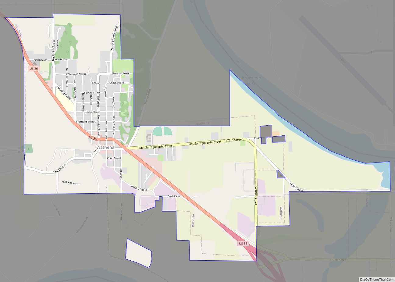
Wathena is a city in Doniphan County, Kansas, United States, located about 5 miles (8.0 km) west of Saint Joseph, Missouri. As of the 2020 census, the population of the city was 1,246.
| Name: | Wathena city |
|---|---|
| LSAD Code: | 25 |
| LSAD Description: | city (suffix) |
| State: | Kansas |
| County: | Doniphan County |
| Founded: | 1861 |
| Incorporated: | 1873 |
| Elevation: | 824 ft (251 m) |
| Total Area: | 2.38 sq mi (6.17 km²) |
| Land Area: | 2.34 sq mi (6.07 km²) |
| Water Area: | 0.04 sq mi (0.11 km²) |
| Total Population: | 1,246 |
| Population Density: | 520/sq mi (200/km²) |
| ZIP code: | 66090 |
| Area code: | 785 |
| FIPS code: | 2076000 |
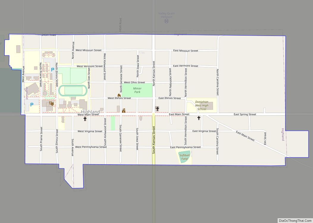
Online Interactive Map
Click on ![]() to view map in "full screen" mode.
to view map in "full screen" mode.
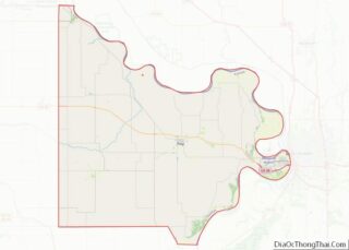
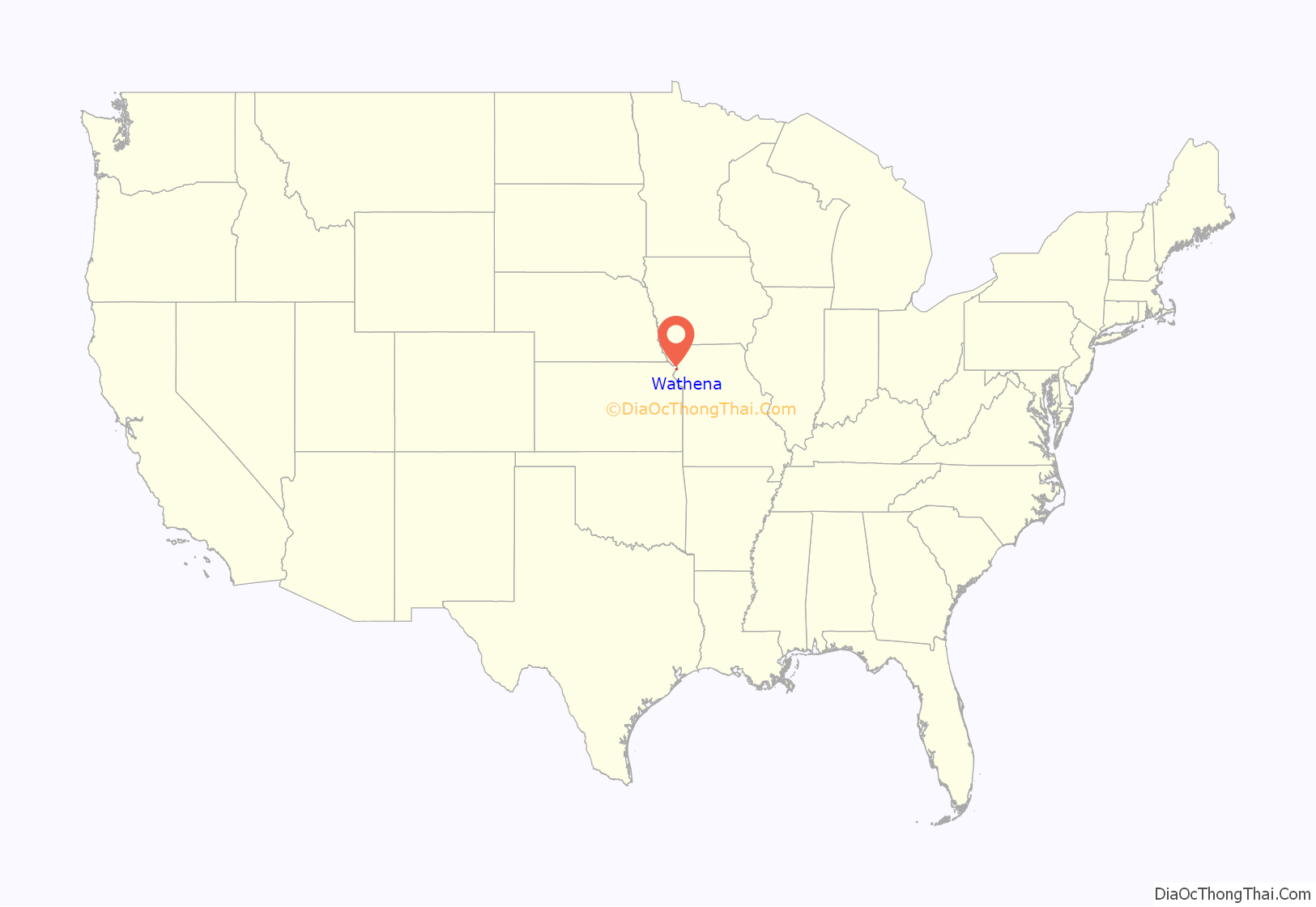
Wathena location map. Where is Wathena city?
History
Wathena was founded in 1856. The city is named in honor of Chief Wathena, a Native American chief of the Kickapoo tribe who previously lived in the area.
The first post office in Wathena was established in 1855, but before August, 1859, the post office was called Bryan.
The St. Joseph & Denver Railroad was extended to Wathena in 1860.
Wathena was incorporated as a city in 1873.
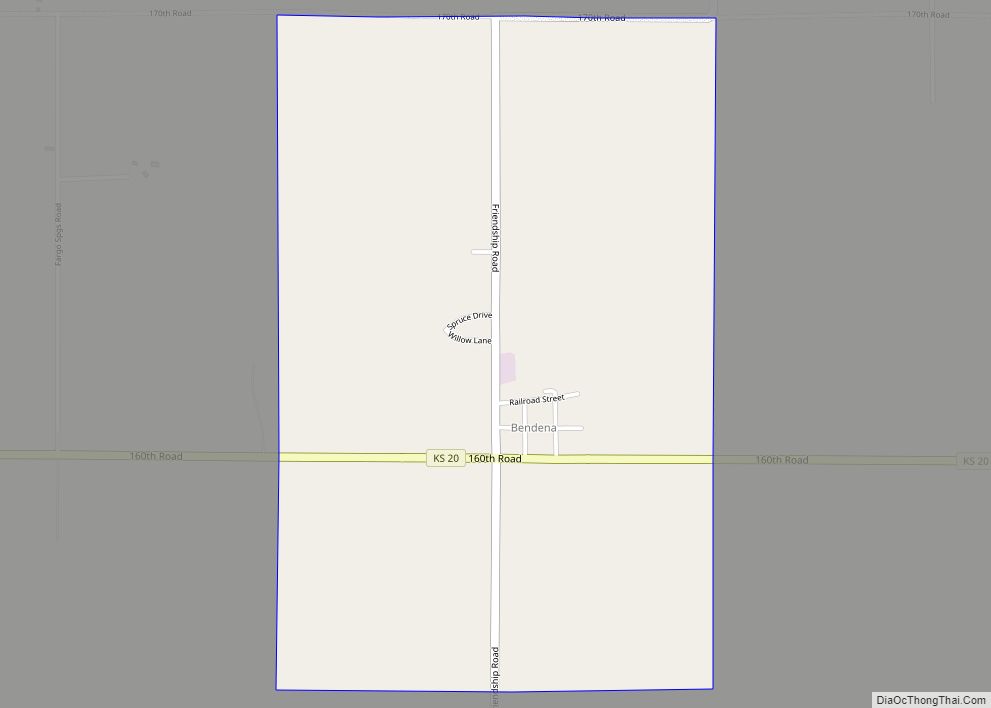
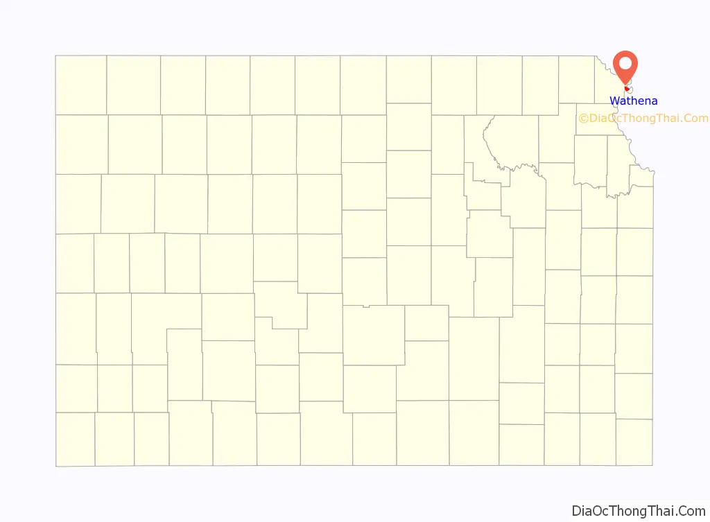
Wathena Road Map
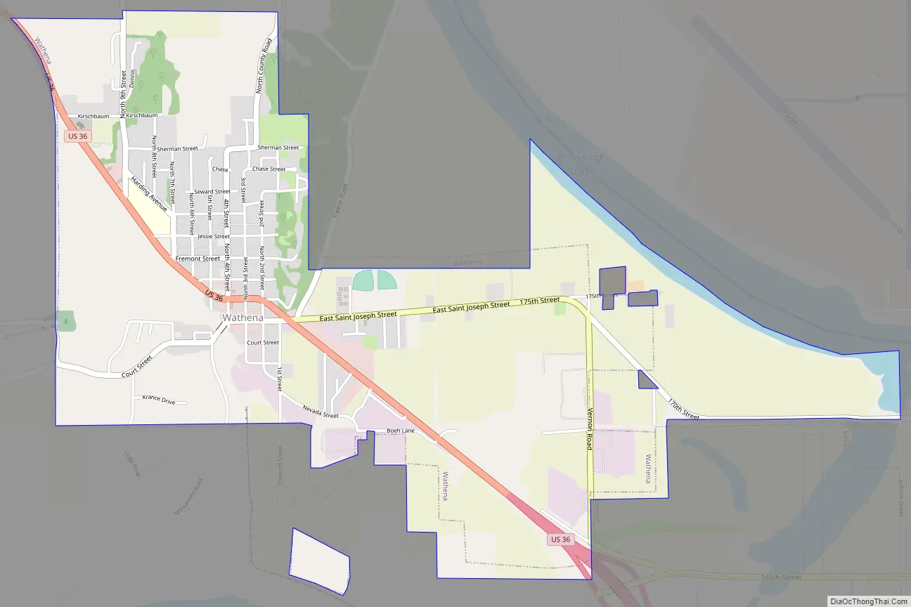
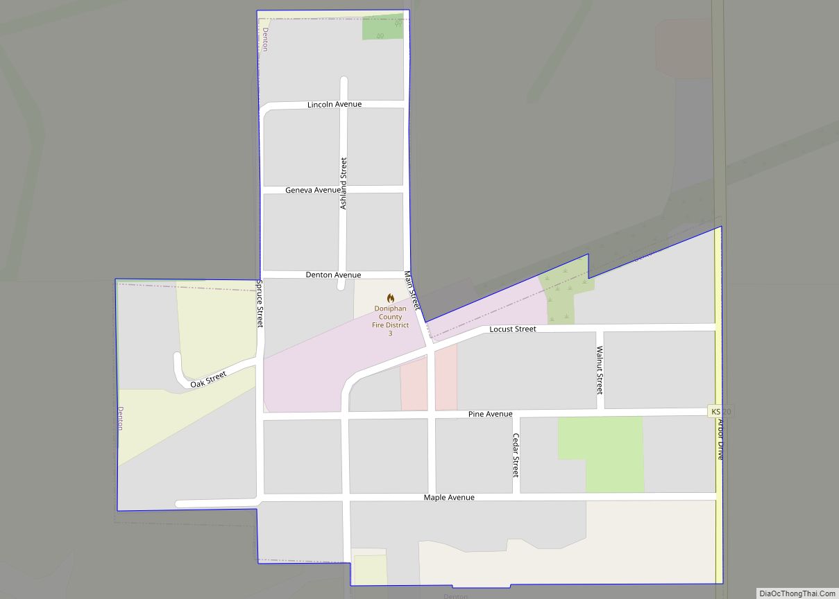
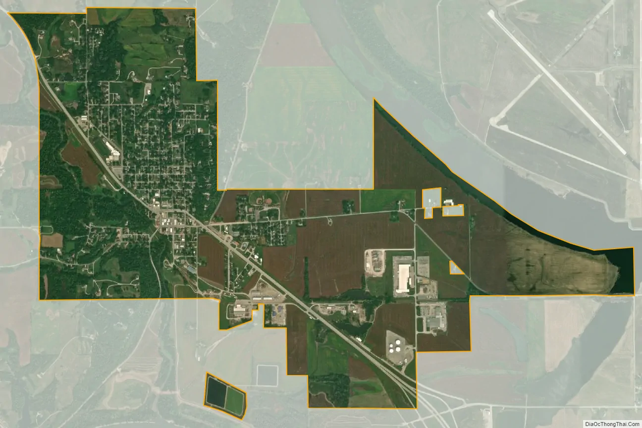
Wathena city Satellite Map
Geography
Wathena is located at 39°45′44″N 94°56′53″W / 39.76222°N 94.94806°W / 39.76222; -94.94806 (39.762161, -94.948117). According to the United States Census Bureau, the city has a total area of 2.31 square miles (5.98 km), of which 2.28 square miles (5.91 km) is land and 0.03 square miles (0.08 km) is water.
See also
Map of Kansas State and its subdivision:- Allen
- Anderson
- Atchison
- Barber
- Barton
- Bourbon
- Brown
- Butler
- Chase
- Chautauqua
- Cherokee
- Cheyenne
- Clark
- Clay
- Cloud
- Coffey
- Comanche
- Cowley
- Crawford
- Decatur
- Dickinson
- Doniphan
- Douglas
- Edwards
- Elk
- Ellis
- Ellsworth
- Finney
- Ford
- Franklin
- Geary
- Gove
- Graham
- Grant
- Gray
- Greeley
- Greenwood
- Hamilton
- Harper
- Harvey
- Haskell
- Hodgeman
- Jackson
- Jefferson
- Jewell
- Johnson
- Kearny
- Kingman
- Kiowa
- Labette
- Lane
- Leavenworth
- Lincoln
- Linn
- Logan
- Lyon
- Marion
- Marshall
- McPherson
- Meade
- Miami
- Mitchell
- Montgomery
- Morris
- Morton
- Nemaha
- Neosho
- Ness
- Norton
- Osage
- Osborne
- Ottawa
- Pawnee
- Phillips
- Pottawatomie
- Pratt
- Rawlins
- Reno
- Republic
- Rice
- Riley
- Rooks
- Rush
- Russell
- Saline
- Scott
- Sedgwick
- Seward
- Shawnee
- Sheridan
- Sherman
- Smith
- Stafford
- Stanton
- Stevens
- Sumner
- Thomas
- Trego
- Wabaunsee
- Wallace
- Washington
- Wichita
- Wilson
- Woodson
- Wyandotte
- Alabama
- Alaska
- Arizona
- Arkansas
- California
- Colorado
- Connecticut
- Delaware
- District of Columbia
- Florida
- Georgia
- Hawaii
- Idaho
- Illinois
- Indiana
- Iowa
- Kansas
- Kentucky
- Louisiana
- Maine
- Maryland
- Massachusetts
- Michigan
- Minnesota
- Mississippi
- Missouri
- Montana
- Nebraska
- Nevada
- New Hampshire
- New Jersey
- New Mexico
- New York
- North Carolina
- North Dakota
- Ohio
- Oklahoma
- Oregon
- Pennsylvania
- Rhode Island
- South Carolina
- South Dakota
- Tennessee
- Texas
- Utah
- Vermont
- Virginia
- Washington
- West Virginia
- Wisconsin
- Wyoming