Washington is a city in, and the county seat of, Washington County, Kansas, United States. As of the 2020 census, the population of the city was 1,071.
| Name: | Washington city |
|---|---|
| LSAD Code: | 25 |
| LSAD Description: | city (suffix) |
| State: | Kansas |
| County: | Washington County |
| Founded: | 1860 |
| Incorporated: | 1875 |
| Elevation: | 1,329 ft (405 m) |
| Total Area: | 1.01 sq mi (2.62 km²) |
| Land Area: | 0.97 sq mi (2.52 km²) |
| Water Area: | 0.04 sq mi (0.10 km²) |
| Total Population: | 1,071 |
| Population Density: | 1,100/sq mi (410/km²) |
| ZIP code: | 66968 |
| Area code: | 785 |
| FIPS code: | 2075825 |
| Website: | washingtonks.net |
Online Interactive Map
Click on ![]() to view map in "full screen" mode.
to view map in "full screen" mode.
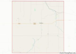
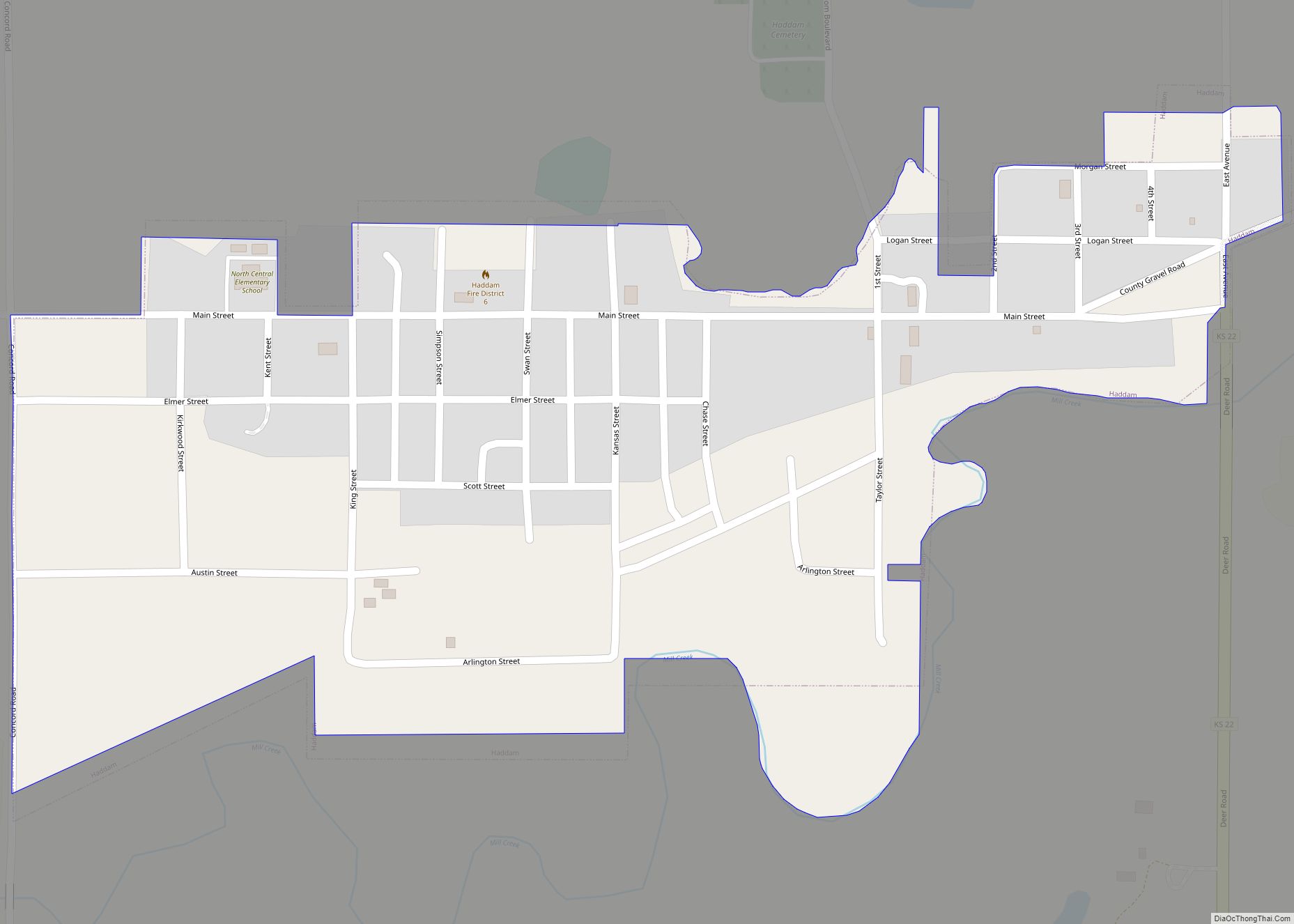
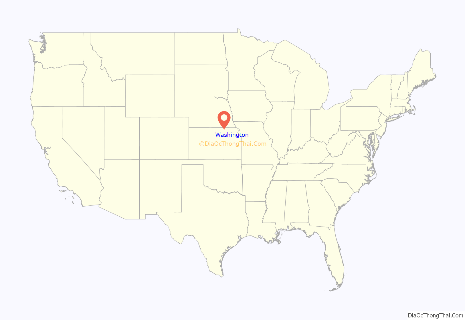
Washington location map. Where is Washington city?

History
Washington was established in spring 1860, and in the same year named county seat. Until the end of the American Civil War it was protected by two stockaded buildings, the Washington Company House and Woolbert’s Stockade Hotel.
The first post office in Washington was established in November 1861.
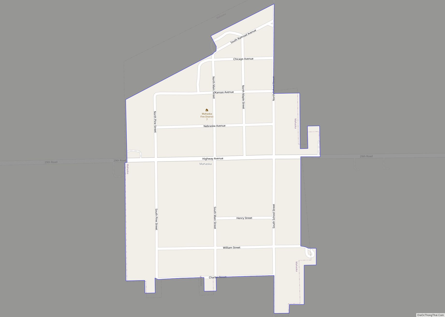
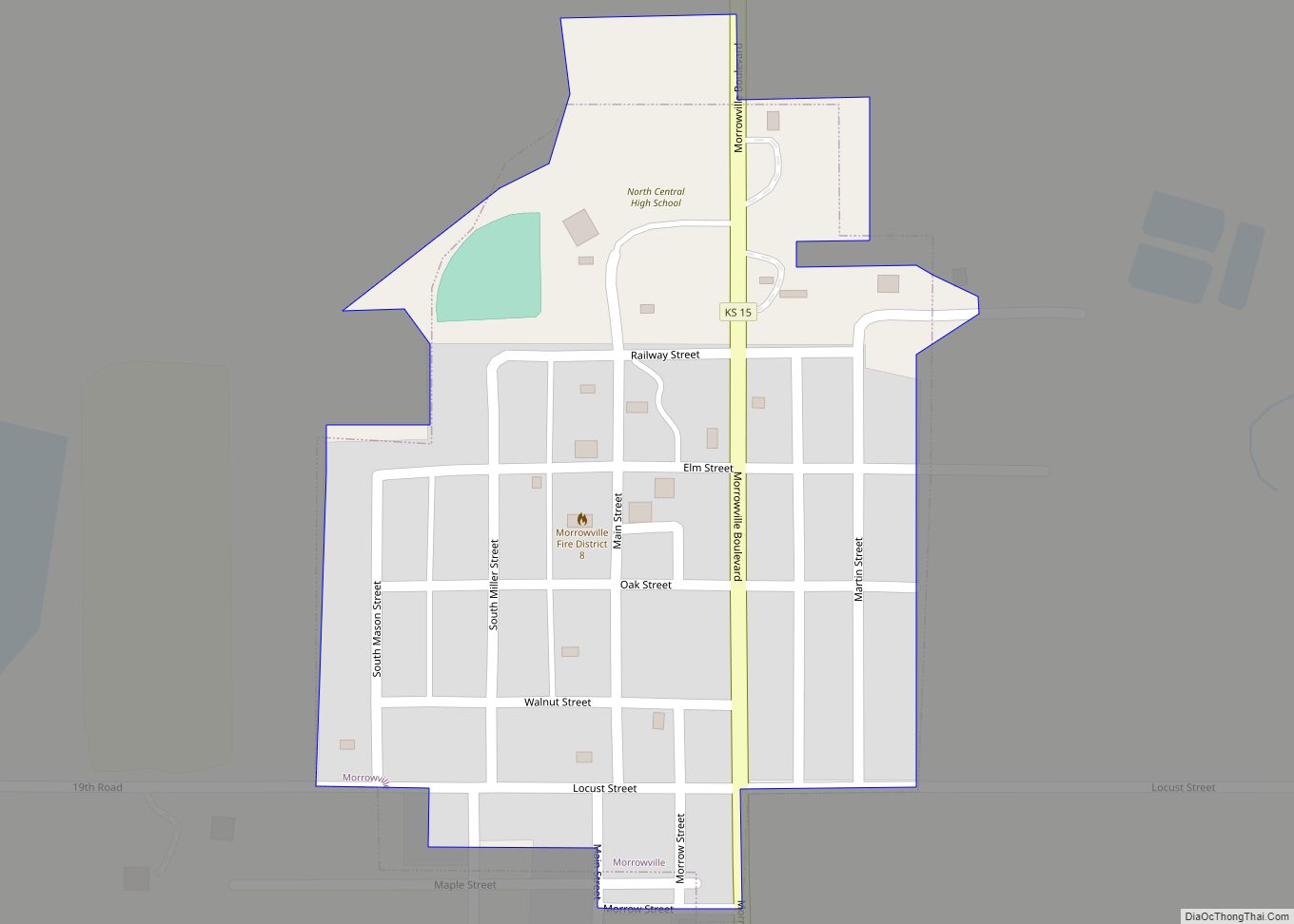
Washington Road Map

Washington city Satellite Map

Geography
Washington is 39°N 97°W / 39°N 97°W / 39; -97 (39.816877, -97.052503). According to the United States Census Bureau, the city has a total area of 0.91 square miles (2.36 km), of which 0.87 square miles (2.25 km) is land and 0.04 square miles (0.10 km) is water.
See also
Map of Kansas State and its subdivision:- Allen
- Anderson
- Atchison
- Barber
- Barton
- Bourbon
- Brown
- Butler
- Chase
- Chautauqua
- Cherokee
- Cheyenne
- Clark
- Clay
- Cloud
- Coffey
- Comanche
- Cowley
- Crawford
- Decatur
- Dickinson
- Doniphan
- Douglas
- Edwards
- Elk
- Ellis
- Ellsworth
- Finney
- Ford
- Franklin
- Geary
- Gove
- Graham
- Grant
- Gray
- Greeley
- Greenwood
- Hamilton
- Harper
- Harvey
- Haskell
- Hodgeman
- Jackson
- Jefferson
- Jewell
- Johnson
- Kearny
- Kingman
- Kiowa
- Labette
- Lane
- Leavenworth
- Lincoln
- Linn
- Logan
- Lyon
- Marion
- Marshall
- McPherson
- Meade
- Miami
- Mitchell
- Montgomery
- Morris
- Morton
- Nemaha
- Neosho
- Ness
- Norton
- Osage
- Osborne
- Ottawa
- Pawnee
- Phillips
- Pottawatomie
- Pratt
- Rawlins
- Reno
- Republic
- Rice
- Riley
- Rooks
- Rush
- Russell
- Saline
- Scott
- Sedgwick
- Seward
- Shawnee
- Sheridan
- Sherman
- Smith
- Stafford
- Stanton
- Stevens
- Sumner
- Thomas
- Trego
- Wabaunsee
- Wallace
- Washington
- Wichita
- Wilson
- Woodson
- Wyandotte
- Alabama
- Alaska
- Arizona
- Arkansas
- California
- Colorado
- Connecticut
- Delaware
- District of Columbia
- Florida
- Georgia
- Hawaii
- Idaho
- Illinois
- Indiana
- Iowa
- Kansas
- Kentucky
- Louisiana
- Maine
- Maryland
- Massachusetts
- Michigan
- Minnesota
- Mississippi
- Missouri
- Montana
- Nebraska
- Nevada
- New Hampshire
- New Jersey
- New Mexico
- New York
- North Carolina
- North Dakota
- Ohio
- Oklahoma
- Oregon
- Pennsylvania
- Rhode Island
- South Carolina
- South Dakota
- Tennessee
- Texas
- Utah
- Vermont
- Virginia
- Washington
- West Virginia
- Wisconsin
- Wyoming