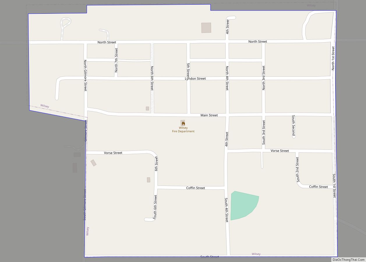
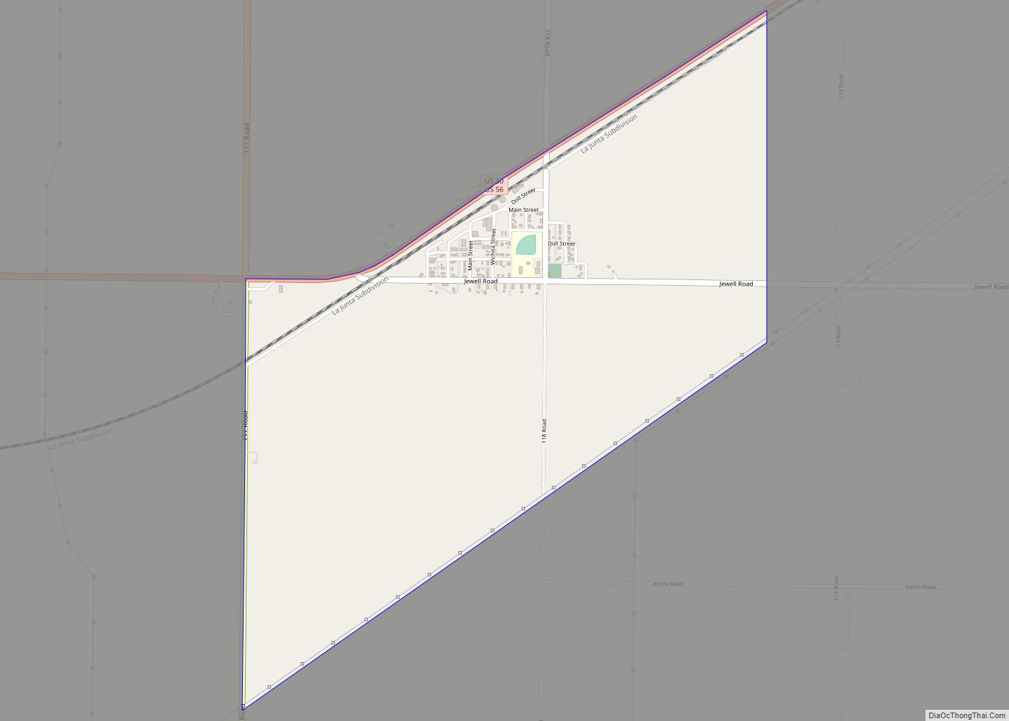
Wilsey is a city in Morris County, Kansas, United States. As of the 2020 census, the population of the city was 139. Wilsey city overview: Name: Wilsey city LSAD Code: 25 LSAD Description: city (suffix) State: Kansas County: Morris County Incorporated: 1910 Elevation: 1,506 ft (459 m) Total Area: 0.27 sq mi (0.70 km²) Land Area: 0.27 sq mi (0.70 km²) Water Area: ... Read more
Kansas Cities and Places
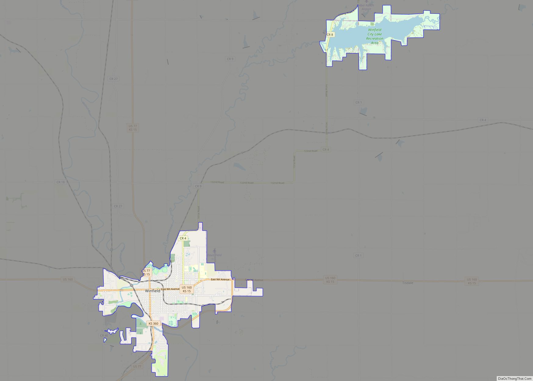
Winfield is a city and county seat of Cowley County, Kansas, United States. It is situated along the Walnut River in South Central Kansas. As of the 2020 census, the population of the city was 11,777. It is home to Southwestern College. Winfield city overview: Name: Winfield city LSAD Code: 25 LSAD Description: city (suffix) ... Read more
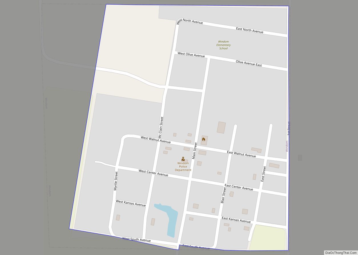
Windom is a city in McPherson County, Kansas, United States. As of the 2020 census, the population of the city was 85. Windom city overview: Name: Windom city LSAD Code: 25 LSAD Description: city (suffix) State: Kansas County: McPherson County Incorporated: 1885 Elevation: 1,647 ft (502 m) Total Area: 0.20 sq mi (0.52 km²) Land Area: 0.20 sq mi (0.52 km²) Water Area: ... Read more
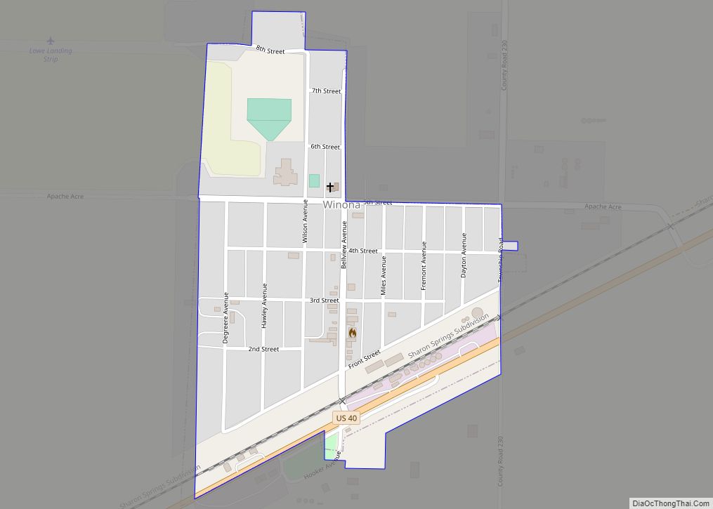
Winona is a city in Logan County, Kansas, United States. As of the 2020 census, the population of the city was 193. Winona city overview: Name: Winona city LSAD Code: 25 LSAD Description: city (suffix) State: Kansas County: Logan County Founded: 1884 (Gopher) Incorporated: 1920 Elevation: 3,327 ft (1,014 m) Total Area: 0.26 sq mi (0.67 km²) Land Area: 0.26 sq mi ... Read more
Wright is an unincorporated community in Ford County, Kansas, United States. As of the 2020 census, the population of the community and nearby areas was 145. Wright CDP overview: Name: Wright CDP LSAD Code: 57 LSAD Description: CDP (suffix) State: Kansas County: Ford County Elevation: 2,530 ft (770 m) Total Area: 2.06 sq mi (5.33 km²) Land Area: 2.06 sq mi (5.33 km²) ... Read more
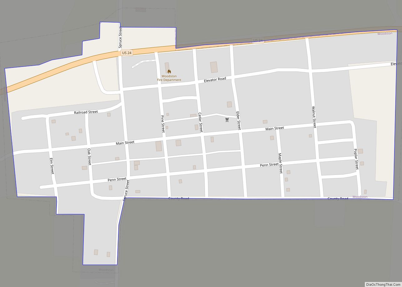
Woodston is a city in Rooks County, Kansas, United States. As of the 2020 census, the population of the city was 94. Woodston city overview: Name: Woodston city LSAD Code: 25 LSAD Description: city (suffix) State: Kansas County: Rooks County Founded: 1885 Incorporated: 1905 Elevation: 1,713 ft (522 m) Total Area: 0.21 sq mi (0.55 km²) Land Area: 0.21 sq mi (0.55 km²) ... Read more
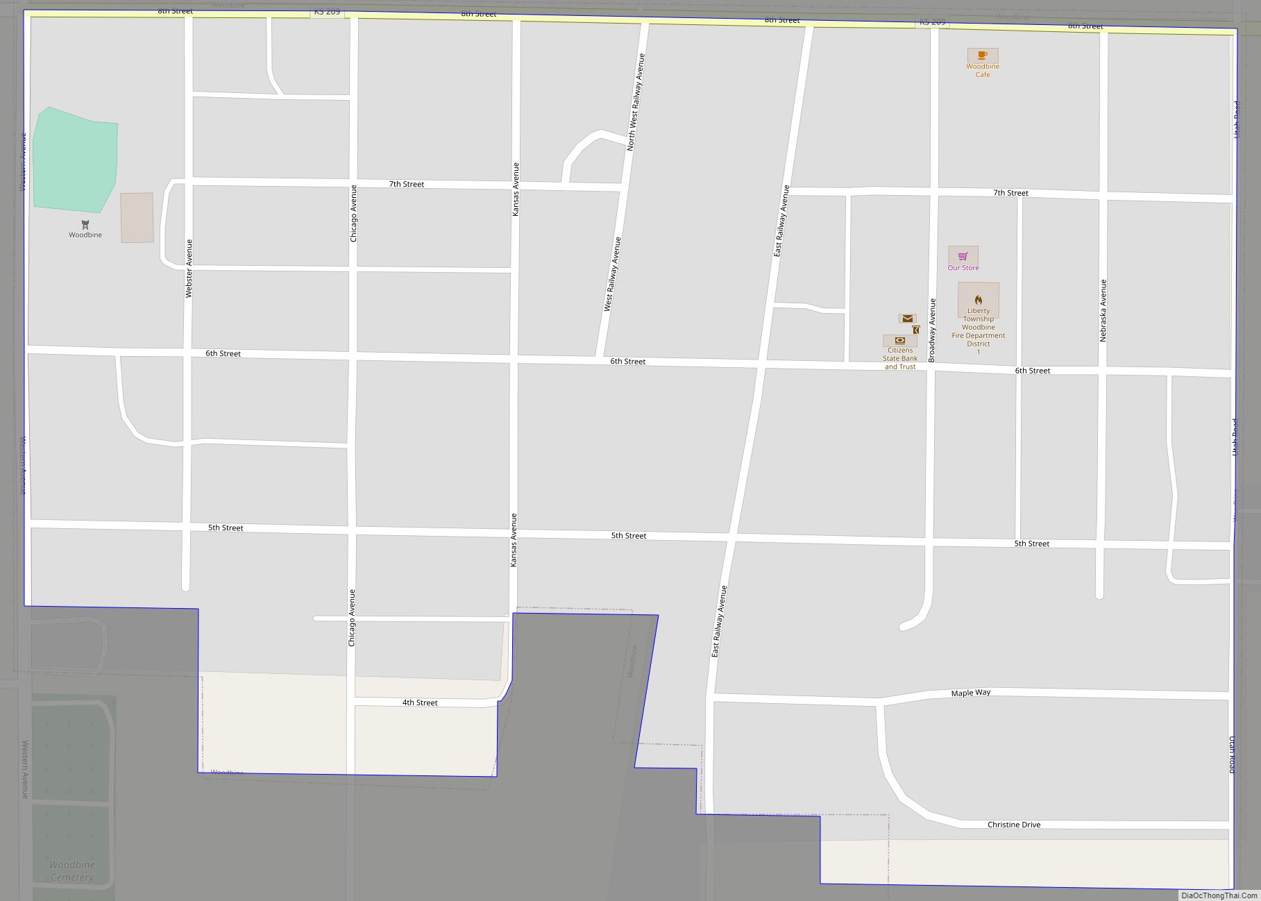
Woodbine is a city in Dickinson County, Kansas, United States. As of the 2020 census, the population of the city was 157. Woodbine city overview: Name: Woodbine city LSAD Code: 25 LSAD Description: city (suffix) State: Kansas County: Dickinson County Founded: 1871 Elevation: 1,250 ft (380 m) Total Area: 0.16 sq mi (0.41 km²) Land Area: 0.16 sq mi (0.41 km²) Water Area: ... Read more
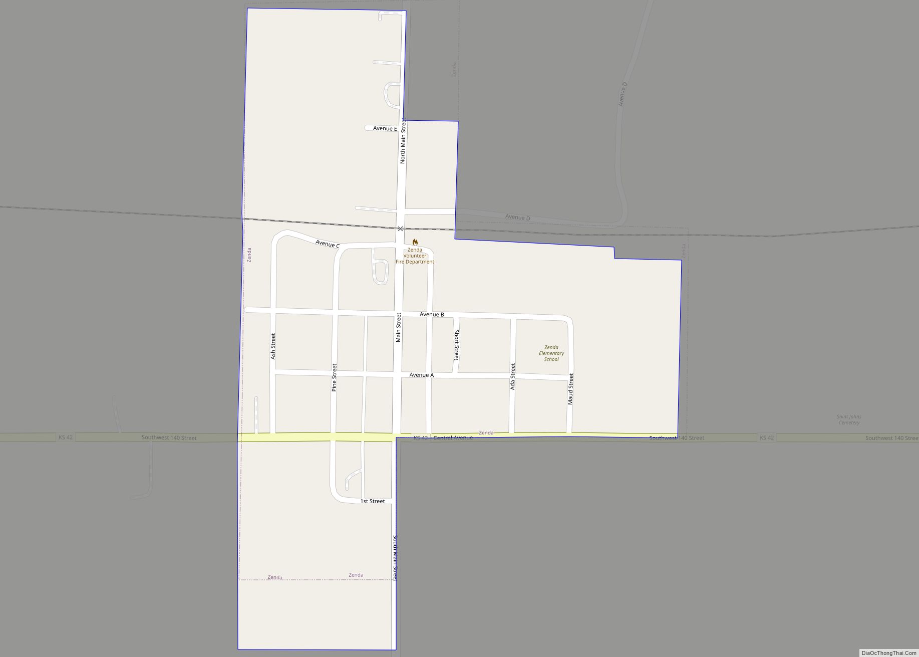
Zenda city overview: Name: Zenda city LSAD Code: 25 LSAD Description: city (suffix) State: Kansas County: Kingman County FIPS code: 2080925 Online Interactive Map Zenda online map. Source: Basemap layers from Google Map, Open Street Map (OSM), Arcgisonline, Wmflabs. Boundary Data from Database of Global Administrative Areas. Zenda location map. Where is Zenda city? Zenda ... Read more
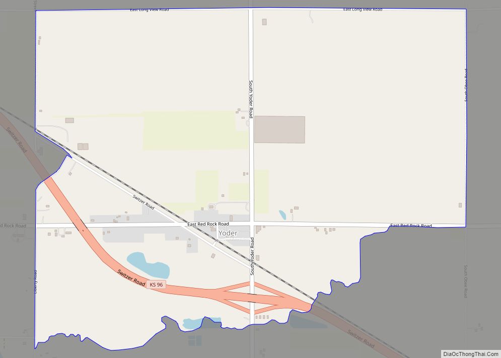
Yoder is an unincorporated community in Reno County, Kansas, United States. As of the 2020 census, the population of the community and nearby areas was 165. It is located approximately 10 miles southeast of the city of Hutchinson on K-96. Although Yoder is unincorporated, with no city government, it does have a U.S. Post Office ... Read more
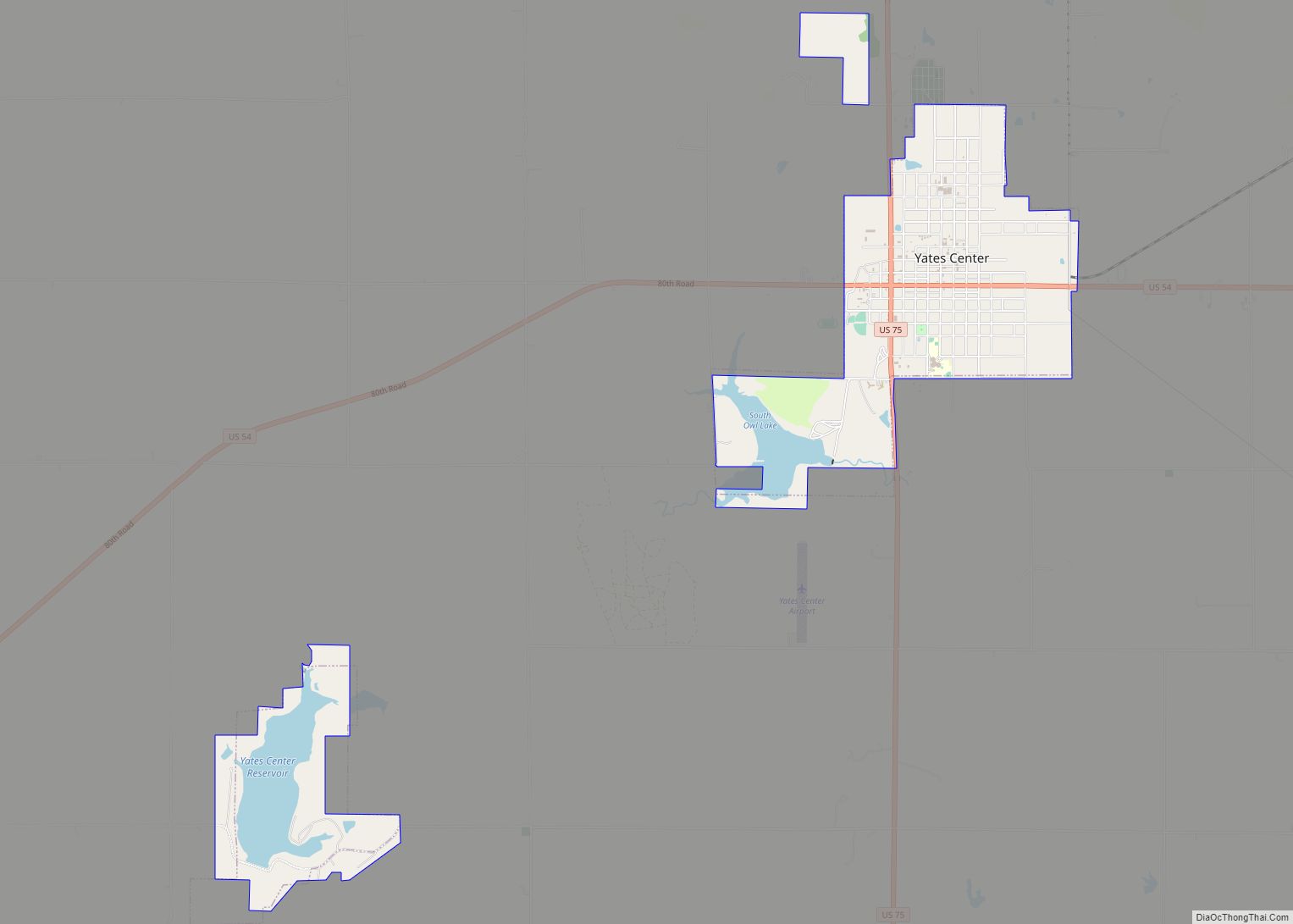
Yates Center city overview: Name: Yates Center city LSAD Code: 25 LSAD Description: city (suffix) State: Kansas County: Woodson County FIPS code: 2080700 Online Interactive Map Yates Center online map. Source: Basemap layers from Google Map, Open Street Map (OSM), Arcgisonline, Wmflabs. Boundary Data from Database of Global Administrative Areas. Yates Center location map. Where ... Read more
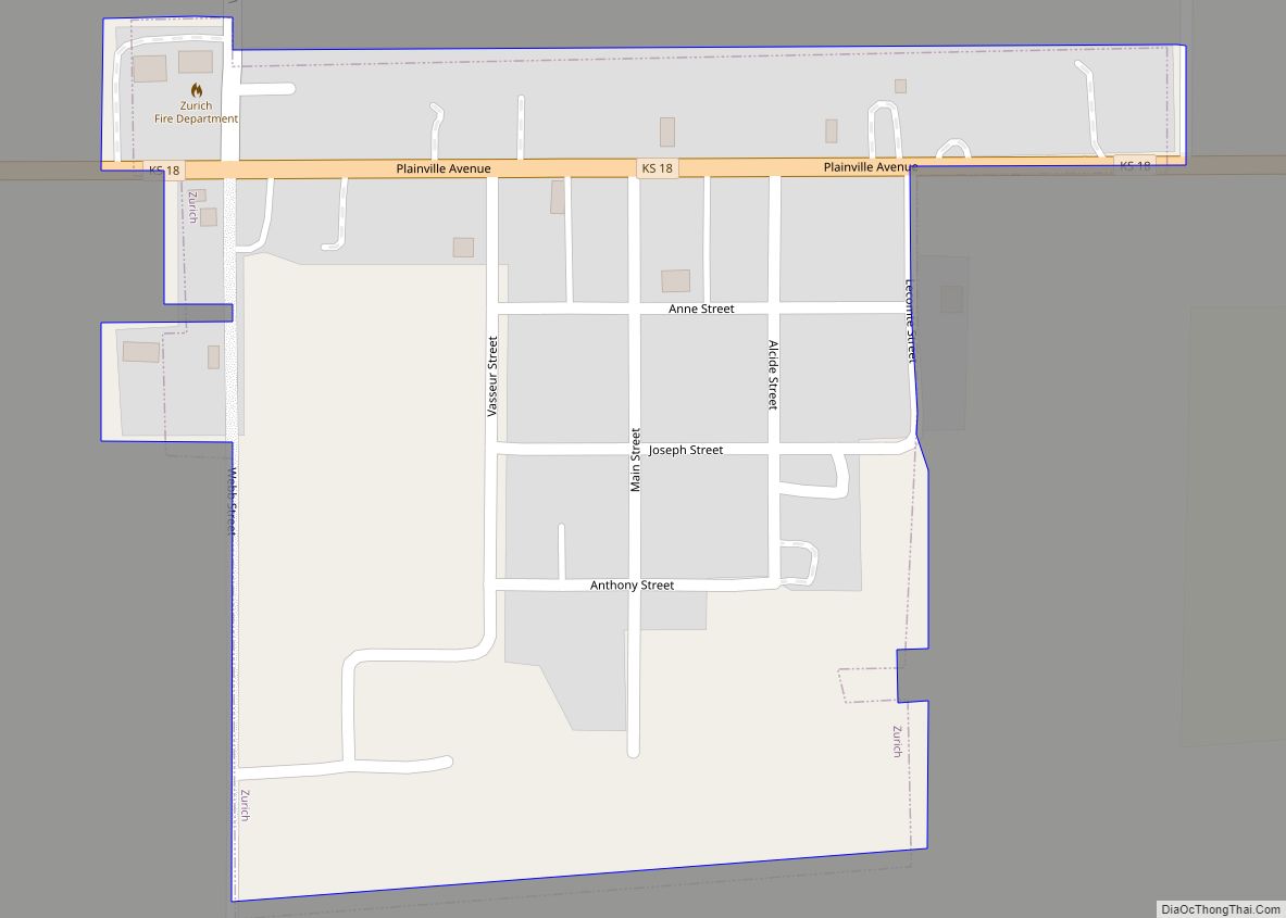
Zurich city overview: Name: Zurich city LSAD Code: 25 LSAD Description: city (suffix) State: Kansas County: Rooks County FIPS code: 2081025 Online Interactive Map Zurich online map. Source: Basemap layers from Google Map, Open Street Map (OSM), Arcgisonline, Wmflabs. Boundary Data from Database of Global Administrative Areas. Zurich location map. Where is Zurich city? Zurich ... Read more
