Winfield is a city and county seat of Cowley County, Kansas, United States. It is situated along the Walnut River in South Central Kansas. As of the 2020 census, the population of the city was 11,777. It is home to Southwestern College.
| Name: | Winfield city |
|---|---|
| LSAD Code: | 25 |
| LSAD Description: | city (suffix) |
| State: | Kansas |
| County: | Cowley County |
| Founded: | 1870 |
| Incorporated: | 1873 |
| Elevation: | 1,129 ft (344 m) |
| Total Area: | 12.51 sq mi (32.41 km²) |
| Land Area: | 11.14 sq mi (28.86 km²) |
| Water Area: | 1.37 sq mi (3.55 km²) 10.60% |
| Total Population: | 11,777 |
| Population Density: | 940/sq mi (360/km²) |
| ZIP code: | 67156 |
| Area code: | 620 |
| FIPS code: | 2079950 |
| Website: | winfieldks.org |
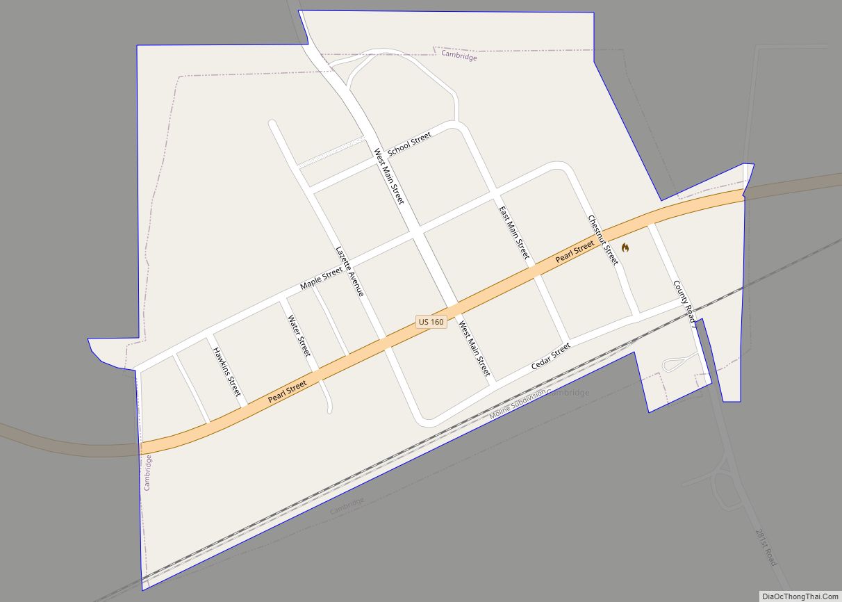
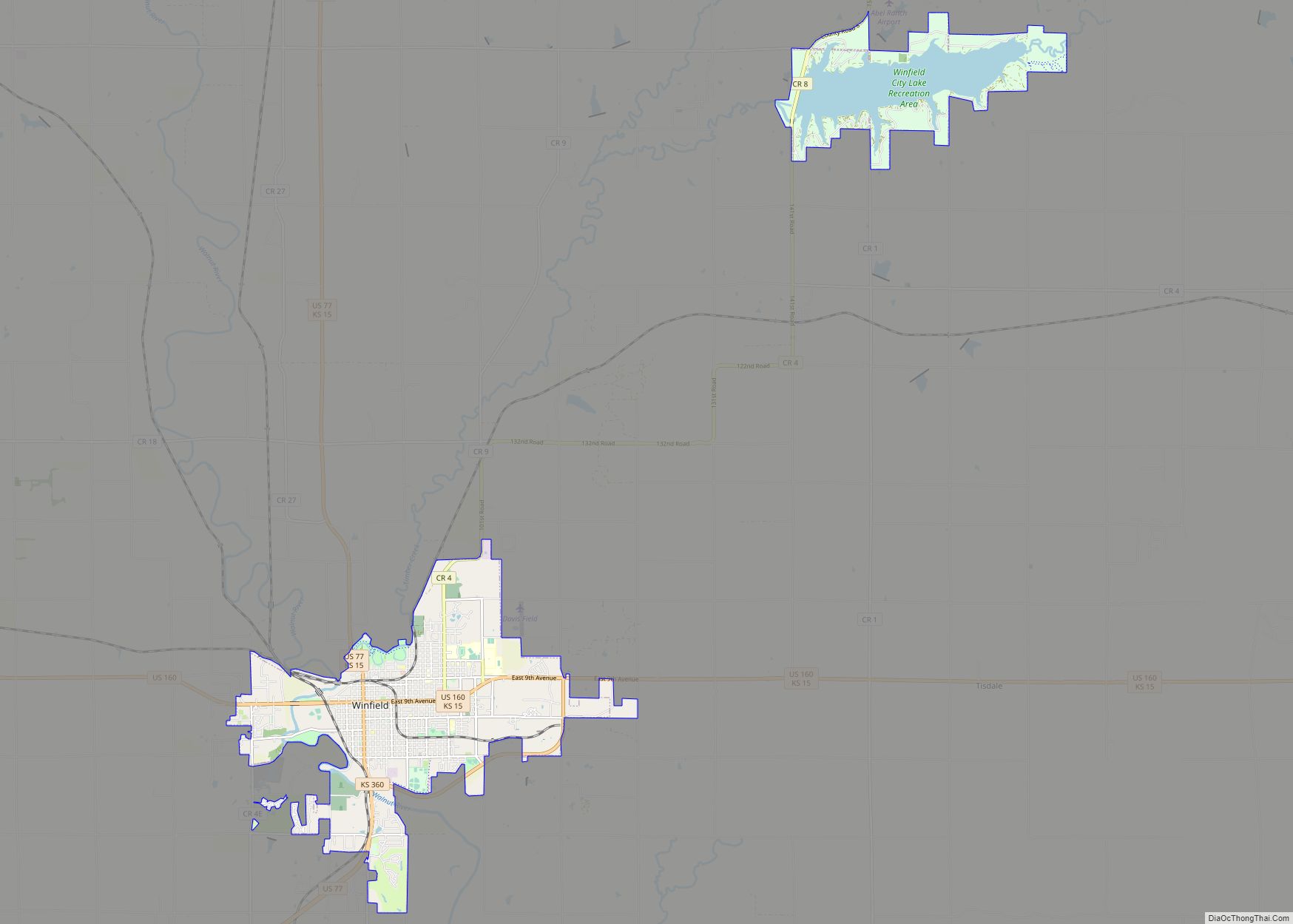
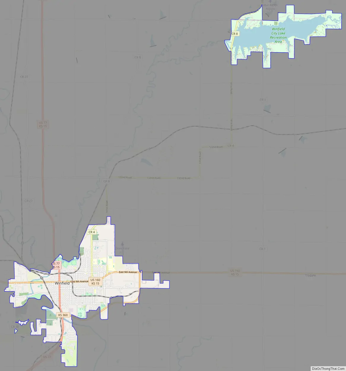
Online Interactive Map
Click on ![]() to view map in "full screen" mode.
to view map in "full screen" mode.
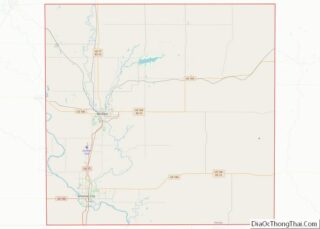
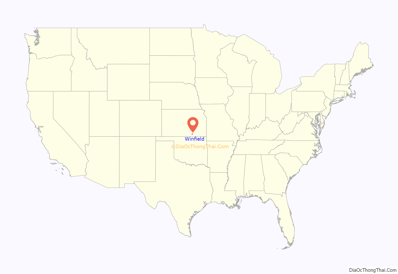
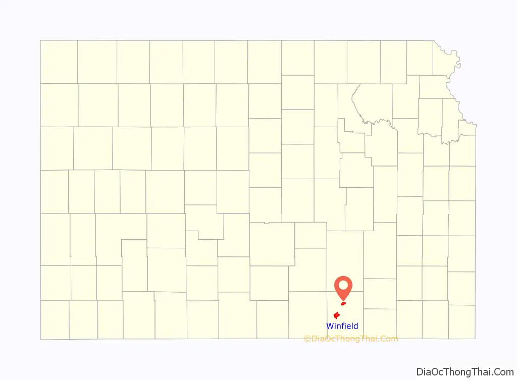
Winfield location map. Where is Winfield city?
History
19th century
Winfield was founded in 1870. It was named for Rev. Winfield Scott, who promised to build the town a church in exchange for the naming rights. The first post office at Winfield was established in May, 1870. In 1873, Winfield incorporated as a city.
Railroads reached Winfield in the late 1870s, and finished at Arkansas City in 1881. Eventually, a total of five railroads passed through Winfield.
In 1881, the State of Kansas established the Kansas State Asylum for Idiotic and Imbecile Youth, temporarily established at Lawrence, but moved to Winfield in 1887/1888, where it served as a dominant local employer for 117 years.
20th century
The Winfield-Arkansas City area became an industrial community in the 20th century, manufacturing consumer goods, and eventually aircraft and aircraft parts, while retaining its traditional dominant employer, the Winfield State Hospital.
On August 13, 1903, 30-year-old Gilbert Twigg, armed with a 12-gauge double-barrelled shotgun, opened fire at a concert, killing six people and wounding at least 25, before killing himself. Three others died in hospitals afterward.
In World War II, Winfield, along with neighboring Arkansas City, became home to a military pilot training base, Strother Field, which remained in operation until the end of the war, bringing several thousand military personnel into the area. After the war, in the early 1950s, the field became the shared municipal airport and industrial park for Winfield and neighboring Arkansas City.
The aircraft manufacturing industry in nearby Wichita (40 mi or 64 km to the north)—one of the world’s principal aircraft-manufacturing centers—provided employment for many Winfield residents, directly and indirectly. That opportunity grew substantially in the last half of the century, as General Electric’s GE Aviation division, in the late 1940s, began producing engines for Wichita aircraft, and eventually in the 1960s, one of Wichita’s principal manufacturers, Cessna Aircraft Company built a factory at Winfield’s Strother Field.
The Crayola plant, near Winfield, was established in 1952. At the time, it was the only Crayola plant that made paints. The plant made a large part of the jobs in the county. Tours were conducted until 1992, and 5 years later, in 1997, the plant shut down and moved to Pennsylvania. A lot of original crayons and memorabilia can still be seen at the Winfield museum.
The Winfield State Hospital and Training Center, established in the community in the prior century to house and confine the mentally ill and developmentally disabled, remained as a dominant local employer throughout the 20th century. Towards the end of the century the (now designated “Winfield State Hospital and Training Center”) housed developmentally disabled people. Social, political and legal changes, led to closing of most of the facility in 1998. It was gradually turned into the Winfield Correctional Facility.
Southwestern College grew to become a leading local institution and employer, drawing students from throughout the central United States, and bringing an extra level of intellectual and cultural development and diversity to the community.
Pi Gamma Mu International Honor Society in Social Sciences was founded at Southwestern College in Winfield in 1924. The international headquarters is now housed at a repurposed Carnegie Library building on Millington Street in downtown Winfield. Pi Gamma Mu is the oldest and preeminent interdisciplinary social science honor society. Its mission is to encourage and promote excellence in the Social Sciences and to uphold and nurture scholarship, leadership, and service.
21st century
In the 21st century, Winfield remained an industrial and institutional town. With the exception of Cessna, most of the area’s major employers (some under new names and ownership) continued into the early 21st century.
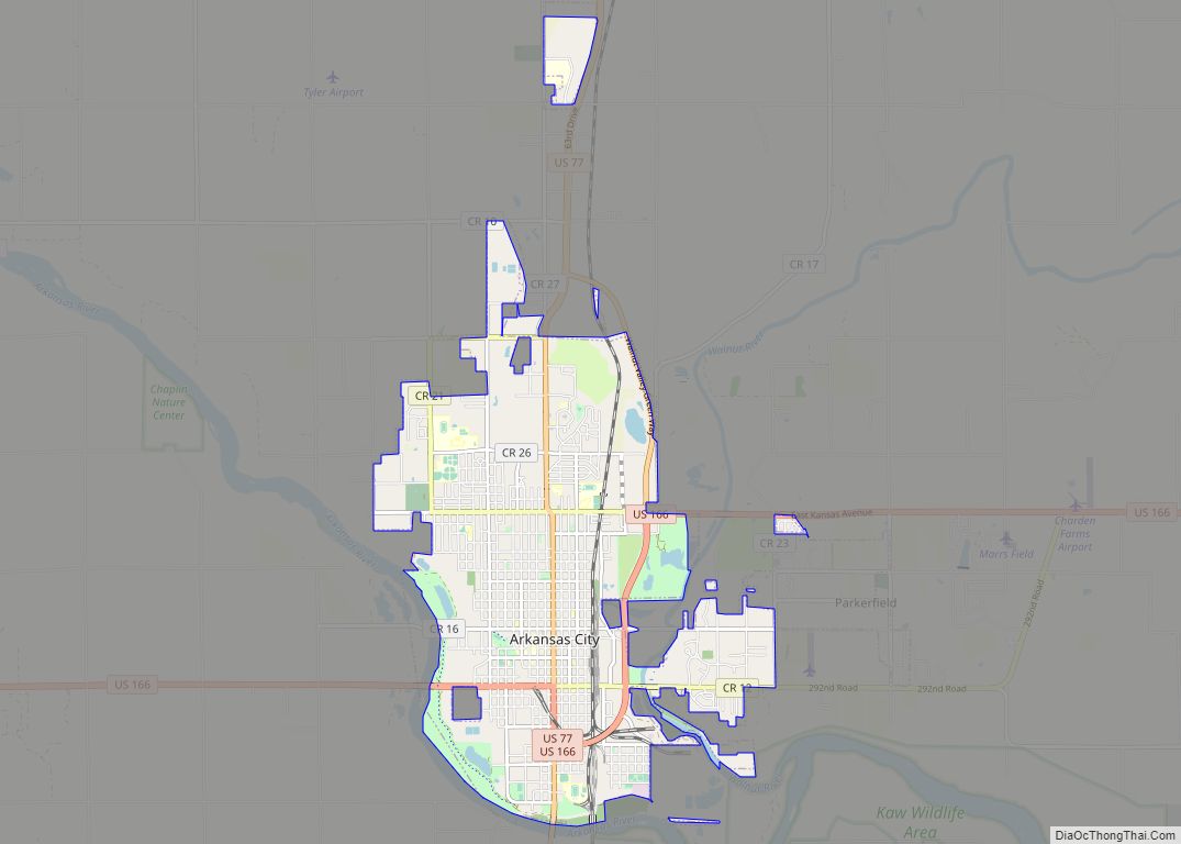
Winfield Road Map
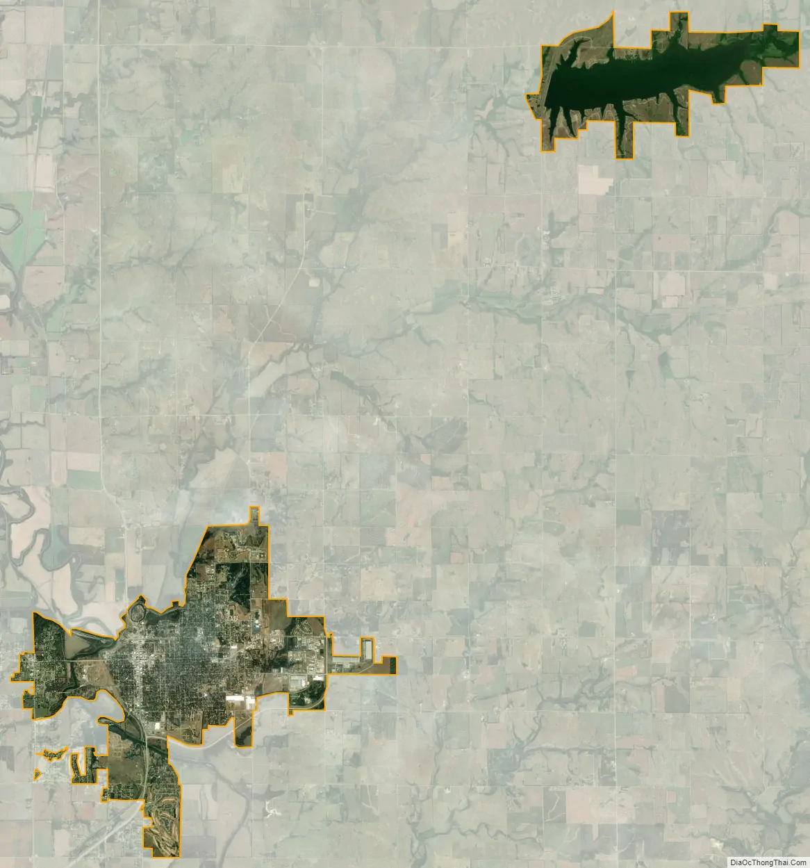
Winfield city Satellite Map
Geography
Winfield is situated along the Walnut River at its confluence with Timber Creek. It is located 17 miles (27 km) north of the Kansas–Oklahoma state border at the junction of U.S. Routes 77 and 160. State highway route K-15 follows U.S. Route 77 to the north of the city and U.S. Route 160 to the east. K-360 is a bypass around the southeastern part of the city between U.S. Route 77 and U.S. Route 160. Arkansas City is 13 miles (21 km) south of Winfield along U.S. Route 77, and Strother Field, a general aviation airport, is approximately five miles (8 km) south.
According to the United States Census Bureau, the city has a total area of 12.93 square miles (33.49 km), of which 11.56 square miles (29.94 km) is land and 1.37 square miles (3.55 km) is water.
Climate
Over the course of a year, temperatures range from an average low below 20 °F (−7 °C) in January to an average high of nearly 93 °F (34 °C) in July. The maximum temperature reaches 90 °F (32 °C) an average of 69 days per year and reaches 100 °F (38 °C) an average of 12 days per year. The minimum temperature falls below the freezing point (32 °F) an average of 102 days per year. Typically the first fall freeze occurs between early October and the first week of November, and the last spring freeze occurs during the month of April.
The area receives nearly 38 inches (970 mm) of precipitation during an average year with the largest share being received in May and June—with a combined 20 days of measurable precipitation. During a typical year the total amount of precipitation may be anywhere from 26 to 50 inches (1,300 mm). There are on average 90 days of measurable precipitation per year. Winter snowfall averages almost 12 inches, but the median is less than 3 inches (76 mm). Measurable snowfall occurs an average of 7 days per year with at least an inch of snow being received on four of those days. Snow depth of at least an inch occurs an average of 11 days per year.
See also
Map of Kansas State and its subdivision:- Allen
- Anderson
- Atchison
- Barber
- Barton
- Bourbon
- Brown
- Butler
- Chase
- Chautauqua
- Cherokee
- Cheyenne
- Clark
- Clay
- Cloud
- Coffey
- Comanche
- Cowley
- Crawford
- Decatur
- Dickinson
- Doniphan
- Douglas
- Edwards
- Elk
- Ellis
- Ellsworth
- Finney
- Ford
- Franklin
- Geary
- Gove
- Graham
- Grant
- Gray
- Greeley
- Greenwood
- Hamilton
- Harper
- Harvey
- Haskell
- Hodgeman
- Jackson
- Jefferson
- Jewell
- Johnson
- Kearny
- Kingman
- Kiowa
- Labette
- Lane
- Leavenworth
- Lincoln
- Linn
- Logan
- Lyon
- Marion
- Marshall
- McPherson
- Meade
- Miami
- Mitchell
- Montgomery
- Morris
- Morton
- Nemaha
- Neosho
- Ness
- Norton
- Osage
- Osborne
- Ottawa
- Pawnee
- Phillips
- Pottawatomie
- Pratt
- Rawlins
- Reno
- Republic
- Rice
- Riley
- Rooks
- Rush
- Russell
- Saline
- Scott
- Sedgwick
- Seward
- Shawnee
- Sheridan
- Sherman
- Smith
- Stafford
- Stanton
- Stevens
- Sumner
- Thomas
- Trego
- Wabaunsee
- Wallace
- Washington
- Wichita
- Wilson
- Woodson
- Wyandotte
- Alabama
- Alaska
- Arizona
- Arkansas
- California
- Colorado
- Connecticut
- Delaware
- District of Columbia
- Florida
- Georgia
- Hawaii
- Idaho
- Illinois
- Indiana
- Iowa
- Kansas
- Kentucky
- Louisiana
- Maine
- Maryland
- Massachusetts
- Michigan
- Minnesota
- Mississippi
- Missouri
- Montana
- Nebraska
- Nevada
- New Hampshire
- New Jersey
- New Mexico
- New York
- North Carolina
- North Dakota
- Ohio
- Oklahoma
- Oregon
- Pennsylvania
- Rhode Island
- South Carolina
- South Dakota
- Tennessee
- Texas
- Utah
- Vermont
- Virginia
- Washington
- West Virginia
- Wisconsin
- Wyoming