Benton is a city in Butler County, Kansas, United States. As of the 2020 census, the population of the city was 943. Benton city overview: Name: Benton city LSAD Code: 25 LSAD Description: city (suffix) State: Kansas County: Butler County Founded: 1884 Incorporated: 1909 Elevation: 1,378 ft (420 m) Total Area: 1.40 sq mi (3.62 km²) Land Area: 1.40 sq mi (3.62 km²) ... Read more
Kansas Cities and Places
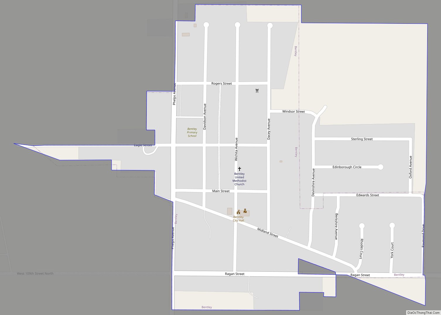
Bentley is a city in Sedgwick County, Kansas, United States. As of the 2020 census, the population of the city was 560. It is located northwest of Wichita, approximately 4 miles north of K-96 highway at the intersection of 151st W & 109th N. Bentley city overview: Name: Bentley city LSAD Code: 25 LSAD Description: ... Read more
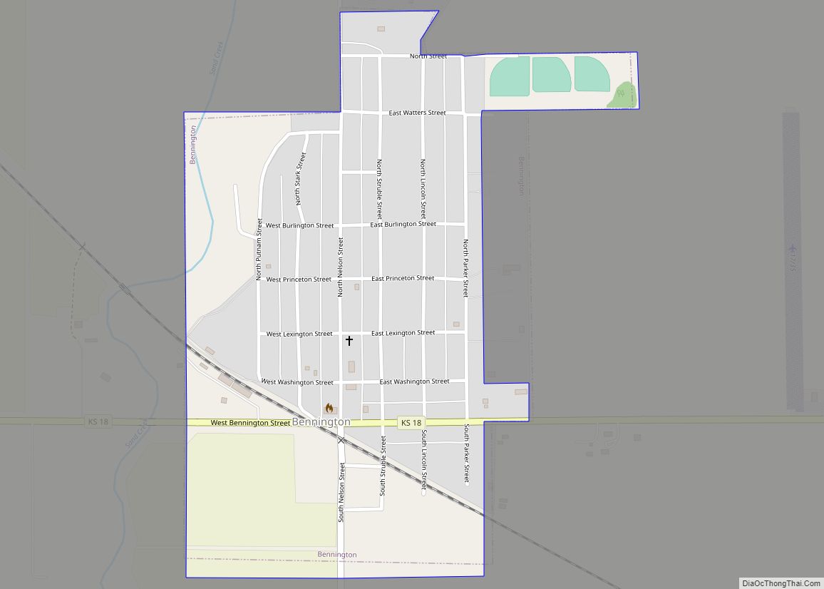
Bennington is a city in Ottawa County, Kansas, United States. As of the 2020 census, the population of the city was 622. Bennington city overview: Name: Bennington city LSAD Code: 25 LSAD Description: city (suffix) State: Kansas County: Ottawa County Founded: 1870s Incorporated: 1885 Elevation: 1,221 ft (372 m) Total Area: 0.42 sq mi (1.09 km²) Land Area: 0.42 sq mi (1.09 km²) ... Read more
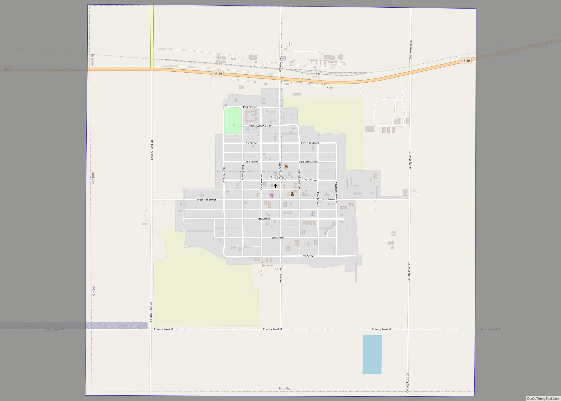
Bird City is a city in Cheyenne County, Kansas, United States. As of the 2020 census, the population of the city was 437. Bird City city overview: Name: Bird City city LSAD Code: 25 LSAD Description: city (suffix) State: Kansas County: Cheyenne County Founded: 1885 Incorporated: 1885 Elevation: 3,465 ft (1,056 m) Total Area: 2.27 sq mi (5.87 km²) Land ... Read more
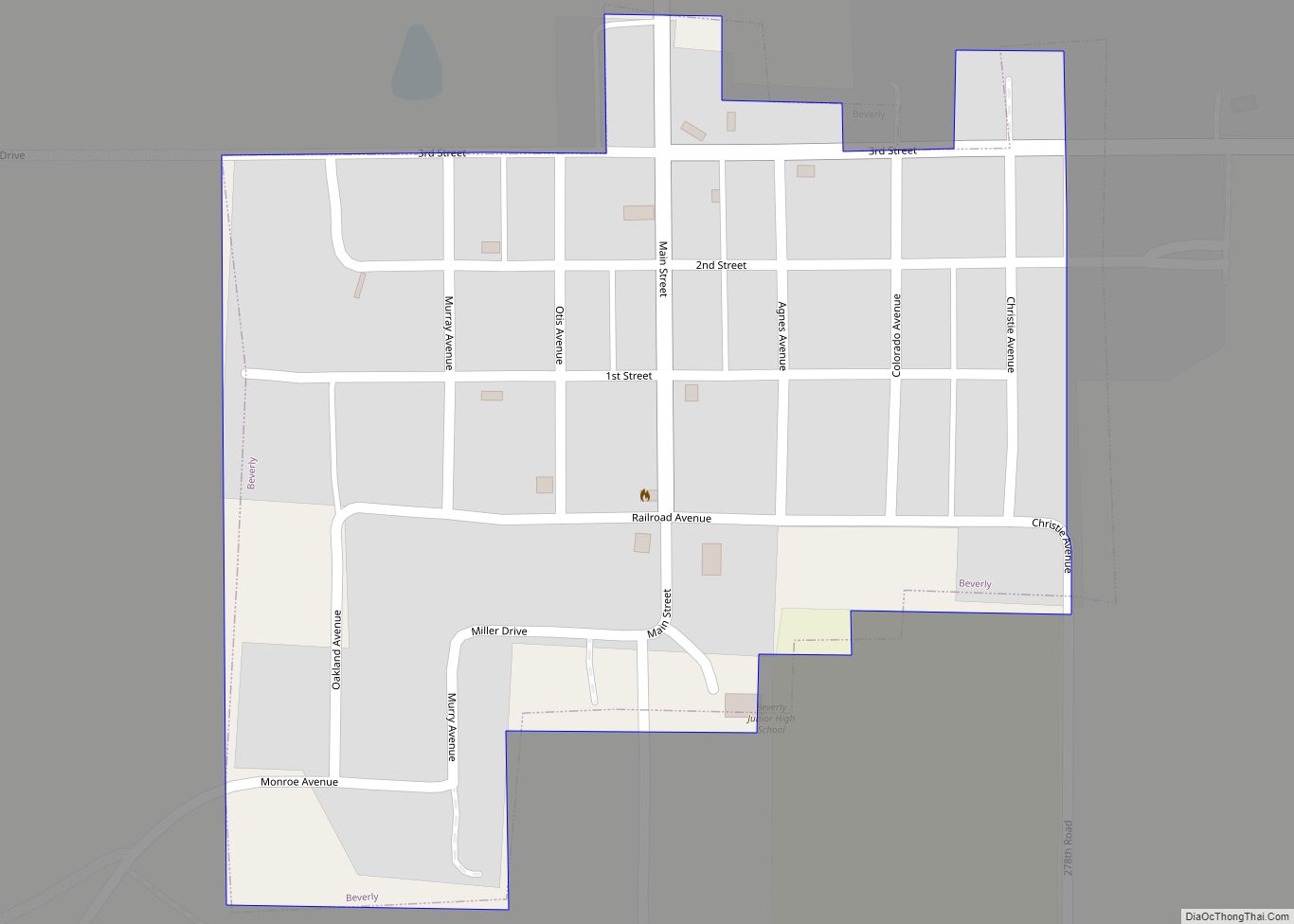
Beverly is a city in Lincoln County, Kansas, United States. As of the 2020 census, the population of the city was 135. Beverly city overview: Name: Beverly city LSAD Code: 25 LSAD Description: city (suffix) State: Kansas County: Lincoln County Founded: 1886 Incorporated: 1904 Elevation: 1,322 ft (403 m) Total Area: 0.20 sq mi (0.52 km²) Land Area: 0.20 sq mi (0.52 km²) ... Read more
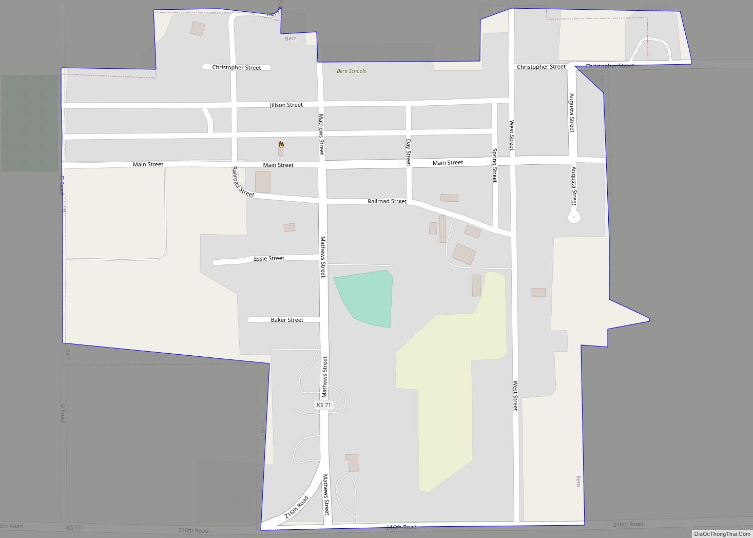
Bern is a city in Nemaha County, Kansas, United States. As of the 2020 census, the population of the city was 161. Bern city overview: Name: Bern city LSAD Code: 25 LSAD Description: city (suffix) State: Kansas County: Nemaha County Incorporated: 1910 Elevation: 1,280 ft (390 m) Total Area: 0.28 sq mi (0.74 km²) Land Area: 0.28 sq mi (0.74 km²) Water Area: ... Read more
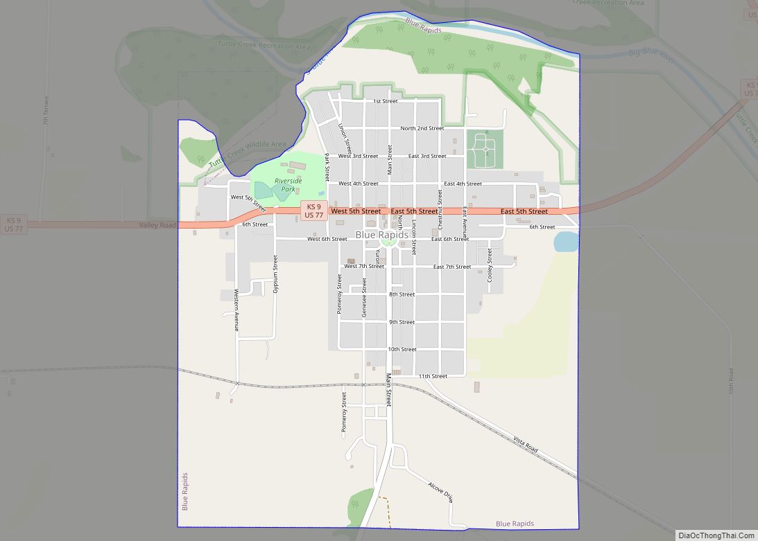
Blue Rapids is a city in Marshall County, Kansas, United States. As of the 2020 census, the population of the city was 928. Blue Rapids city overview: Name: Blue Rapids city LSAD Code: 25 LSAD Description: city (suffix) State: Kansas County: Marshall County Founded: 1869 Incorporated: March 20, 1872 Elevation: 1,155 ft (352 m) Total Area: 2.00 sq mi ... Read more
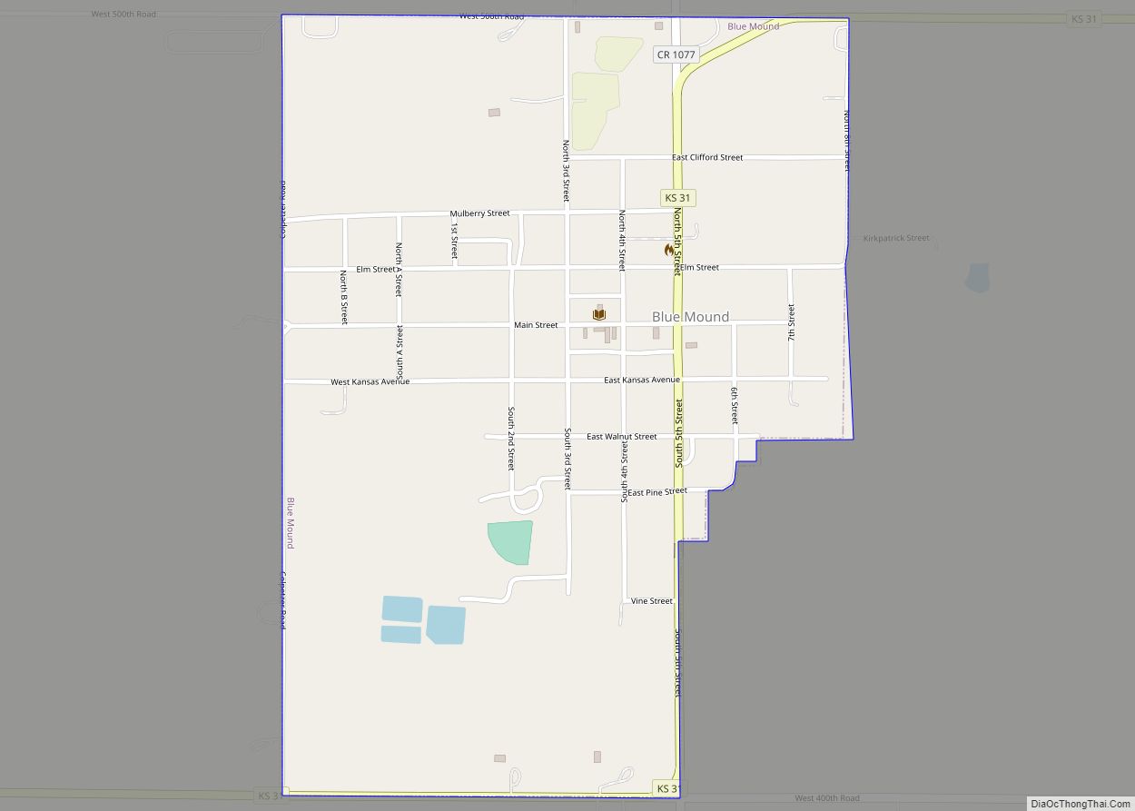
Blue Mound is a city in Linn County, Kansas, United States. As of the 2020 census, the population of the city was 219. Blue Mound city overview: Name: Blue Mound city LSAD Code: 25 LSAD Description: city (suffix) State: Kansas County: Linn County Incorporated: 1884 Elevation: 1,037 ft (316 m) Total Area: 0.64 sq mi (1.65 km²) Land Area: 0.64 sq mi ... Read more
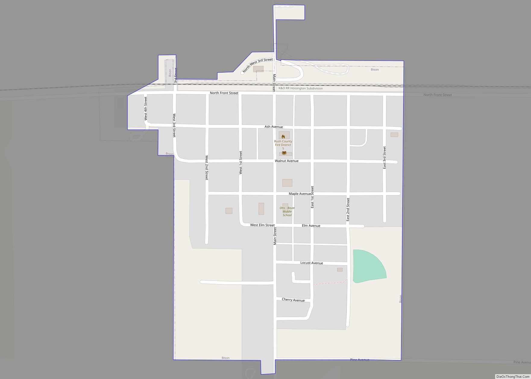
Bison is a city in Rush County, Kansas, United States. As of the 2020 census, the population of the city was 179. Bison city overview: Name: Bison city LSAD Code: 25 LSAD Description: city (suffix) State: Kansas County: Rush County Founded: 1880s Incorporated: 1912 Elevation: 2,011 ft (613 m) Total Area: 0.27 sq mi (0.69 km²) Land Area: 0.27 sq mi (0.69 km²) ... Read more
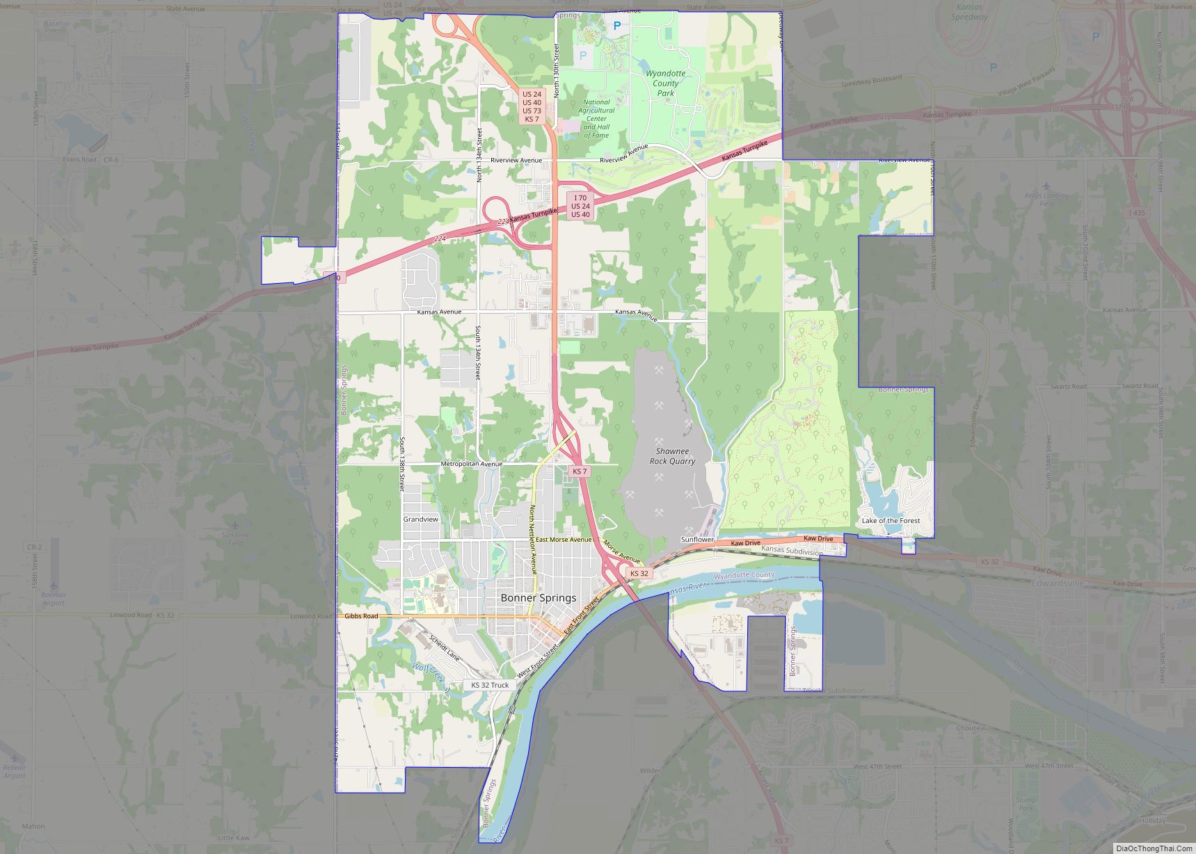
Bonner Springs is a city in Wyandotte, Leavenworth, and Johnson counties, Kansas, United States. It is part of the Kansas City Metropolitan Area. As of the 2020 census, the population of the city was 7,837. Bonner Springs was incorporated as a city on November 10, 1898. Bonner Springs is home to the Azura Amphitheater (commonly ... Read more
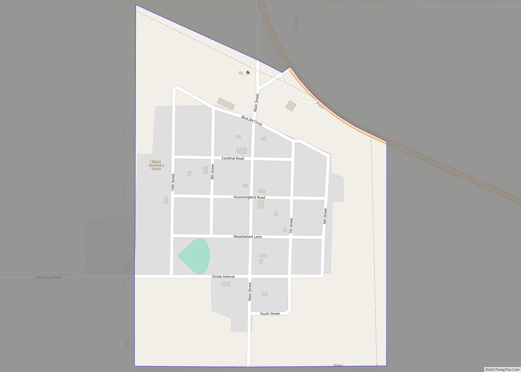
Bogue is a city in Graham County, Kansas, United States. As of the 2020 census, the population of the city was 155. Bogue is located on K-18, south of U.S. Route 24, on the South Fork Solomon River. Bogue city overview: Name: Bogue city LSAD Code: 25 LSAD Description: city (suffix) State: Kansas County: Graham ... Read more
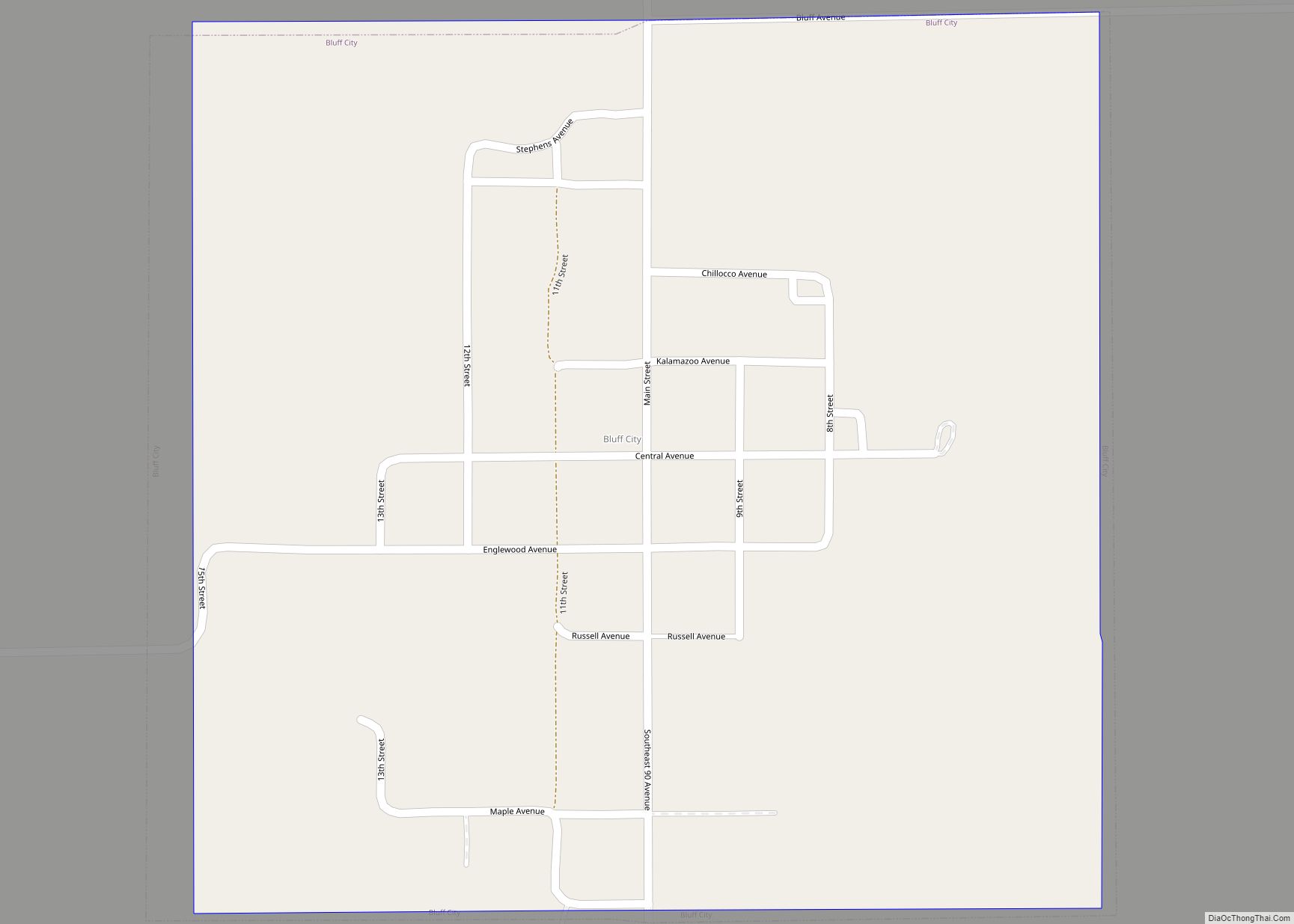
Bluff City is a city in Harper County, Kansas, United States. As of the 2020 census, the population of the city was 45. Bluff City city overview: Name: Bluff City city LSAD Code: 25 LSAD Description: city (suffix) State: Kansas County: Harper County Founded: 1879 (approx) Incorporated: 1887 Elevation: 1,240 ft (380 m) Total Area: 0.51 sq mi (1.31 km²) ... Read more

