Bonner Springs is a city in Wyandotte, Leavenworth, and Johnson counties, Kansas, United States. It is part of the Kansas City Metropolitan Area. As of the 2020 census, the population of the city was 7,837. Bonner Springs was incorporated as a city on November 10, 1898. Bonner Springs is home to the Azura Amphitheater (commonly known as the Sandstone Amphitheater), the National Agricultural Center and Hall of Fame, Wyandotte County Historical Museum, and the annual Kansas City Renaissance Festival.
| Name: | Bonner Springs city |
|---|---|
| LSAD Code: | 25 |
| LSAD Description: | city (suffix) |
| State: | Kansas |
| County: | Johnson County, Leavenworth County, Wyandotte County |
| Incorporated: | 1898 |
| Elevation: | 873 ft (266 m) |
| Total Area: | 16.00 sq mi (41.43 km²) |
| Land Area: | 15.63 sq mi (40.48 km²) |
| Water Area: | 0.37 sq mi (0.95 km²) |
| Total Population: | 7,837 |
| Population Density: | 490/sq mi (190/km²) |
| ZIP code: | 66012 |
| Area code: | 913 |
| FIPS code: | 2007975 |
| Website: | bonnersprings.org |
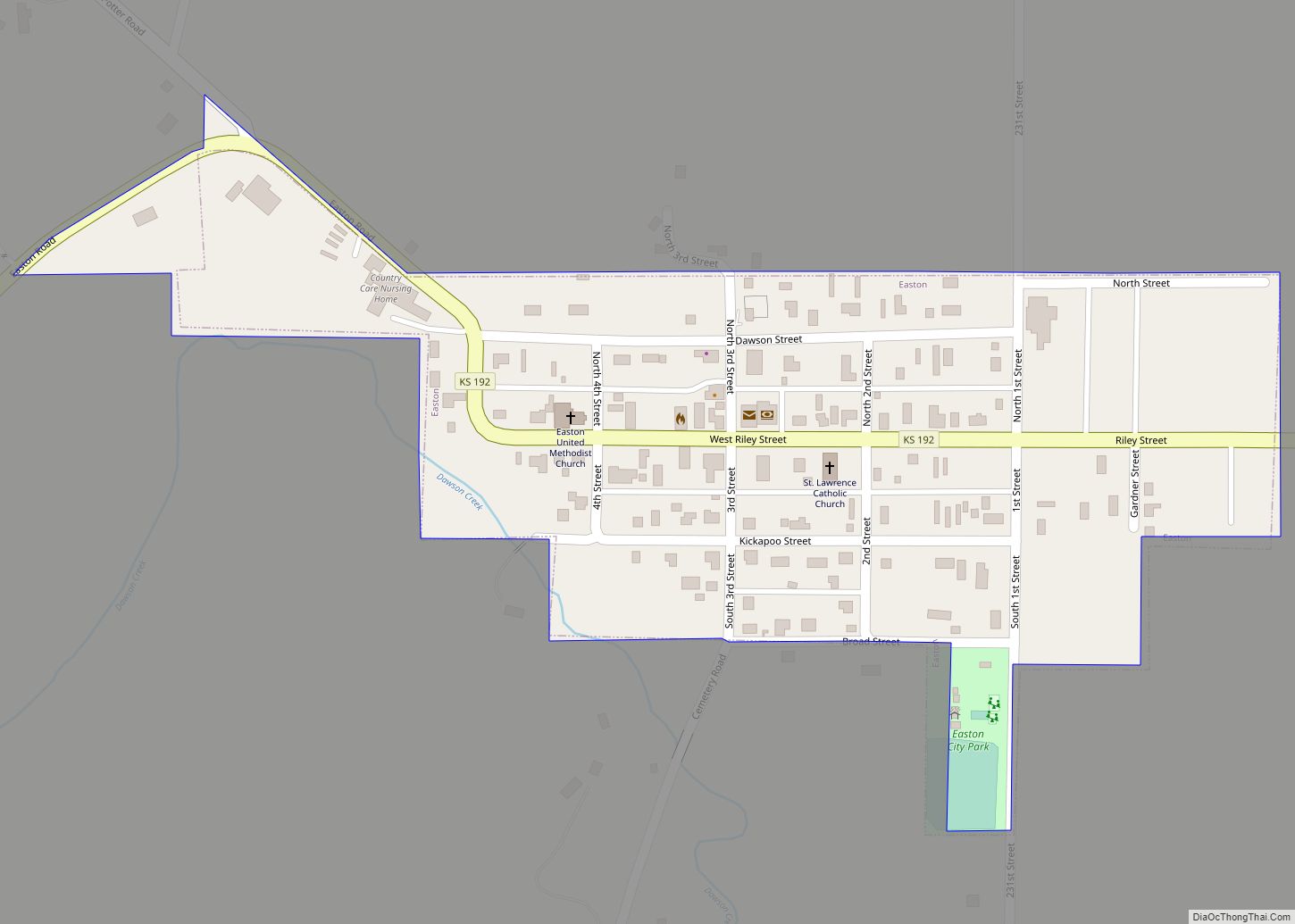
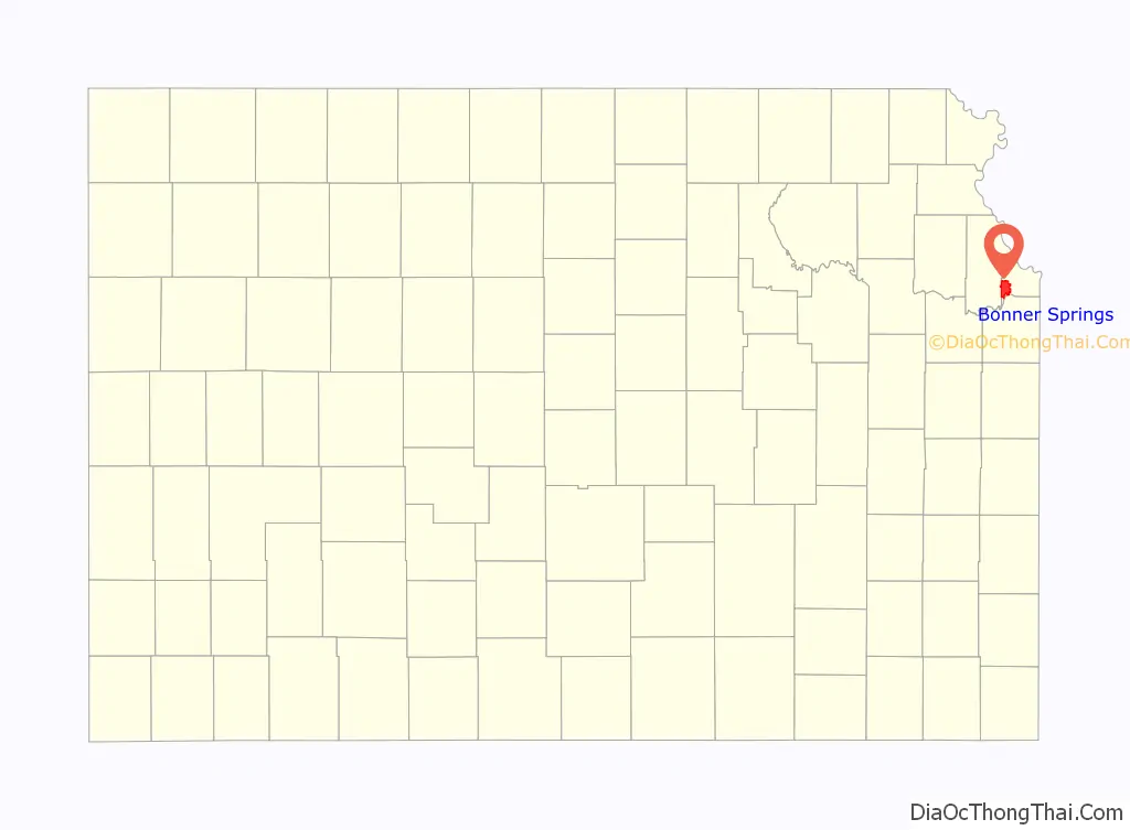
Online Interactive Map
Click on ![]() to view map in "full screen" mode.
to view map in "full screen" mode.
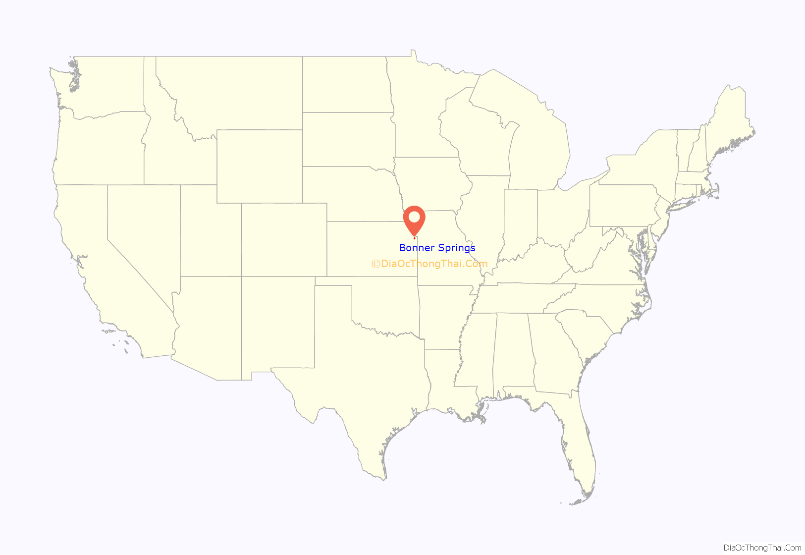
Bonner Springs location map. Where is Bonner Springs city?
History
Early settlers
The Kanza people had settled the area because of the mineral springs and abundant fish and game when, in 1812, two French fur traders, the Chouteau brothers, made their way from St. Louis and temporally settled in the area that would eventually become Bonner Springs, starting a trading post named “Four Houses”. The location allowed easy access to trade items, and a ferry to cross the Kansas River was added. With a date of 1812, it is reputed to be the first commercial center and permanent settlement in Kansas. In 1830, Henry Tiblow, a Delaware Indian, took charge of the ferry. Tiblow was a Delaware Indian who worked as an interpreter for the government. He lived in a small cabin on the west side of the city.
The location became known as “Tiblow Settlement”, and the ferry continued working for years. John McDanield, or “Red John” due to hair color, is known as the founder of Bonner Springs – as we know it today. As the owner of a vast majority of land that is now Bonner Springs, McDaniel named the town “Tiblow”, after his friend Henry.
Mineral springs
Several of the springs in the area were analysed for their mineral content, and the results indicated benefits that would attract visitors. The Bonner Springs Improvement Club, in 1907, created a promotional brochure touting the city as the “Kansas Karlsbad” and listing the contents of five springs near Lake of the Woods: Big Chief, Little Chief, Papoose, Old Squaw and Minnehaha. They listed “grains per gallon” of things like potassium sulphate, carbonate of iron, and chloride of sodium for each.
Big Chief was noted to be “splendid water for anemics, supplying the necessary properties for good red blood and driving out the dead and impure corpuscles.”
Old Squaw was reportedly so named because “the old women of Indian tribes once living in Kansas found relief from their intense dyspepsia caused by their heavy meat diet and little or no exercise.”
To promote the springs, a special train brought investors to the area and cited its proximity to Kansas City, the springs themselves, the fine parks and native trees, the site of a racetrack, and the beautiful residential sites as advantages that would assure the success of the mineral spring venture. In 1885, Philo Clark purchased 300 acres (120 ha) from McDanield, with plans to capitalize on the mineral springs, then changed the name of the town to “Bonner Springs”. The latter portion of the name comes from a mineral spring in the area said to have medicinal qualities. The town was named after Robert E. Bonner, a publisher of the New York Ledger, who was a trotting-horse breeder of note, and Clark believed would help fund the proposed racetrack. However, there is no record this occurred.
Fire of 1908
Bonner Springs continued to be prosperous, with a growing population and new businesses. In 1908, a fire caused over $70,000 worth of damage ($2.11 million in 2021 dollars) and destroyed between 19 and 21 local businesses. There were no water mains at the time, even though the city council had debated the issue for some time.
Many locals came to the rescue, forming a water bucket chain to help put out the fire, while they waited for a fire truck from Kansas City to arrive. An investigation indicated that materials behind Kelly & Pettit’s Drug Store had caught on fire, and the winds carried the flames, making the fire difficult to control. Residents of Bonner Springs undertook thousands of dollars worth of repairs.
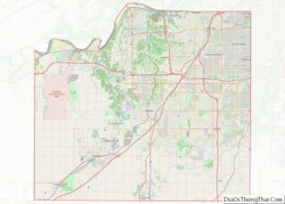
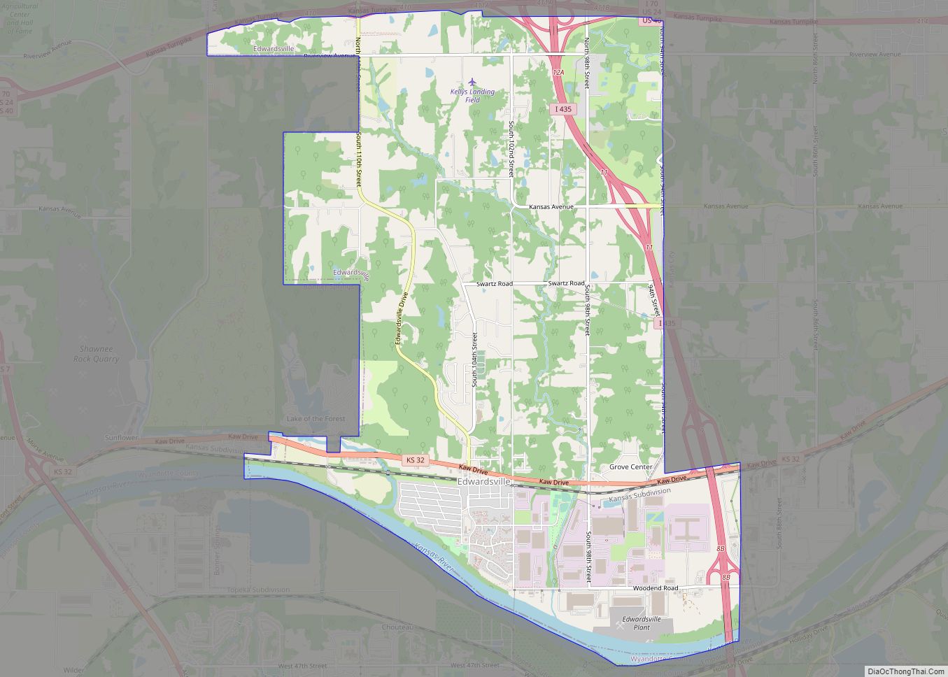
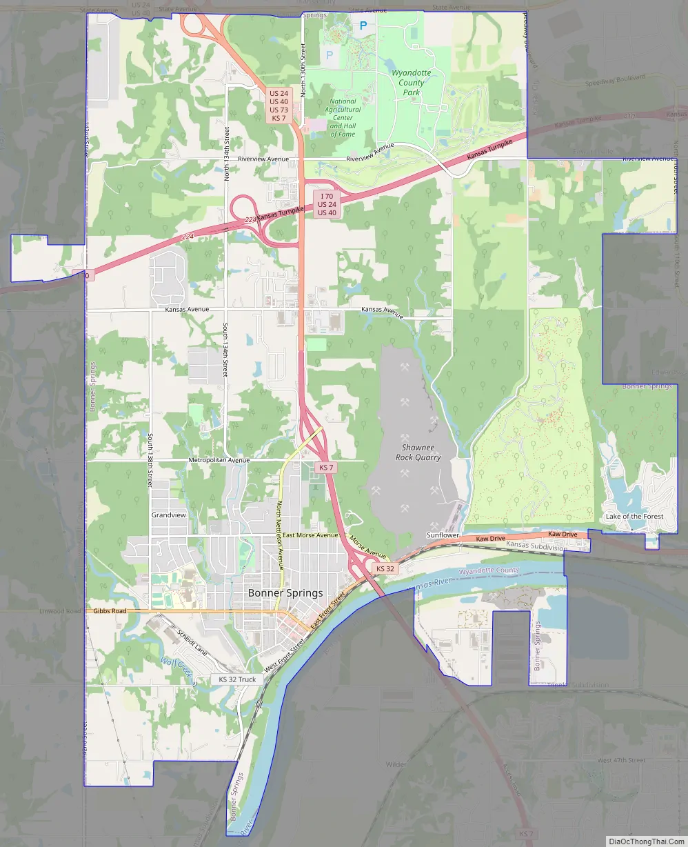
Bonner Springs Road Map
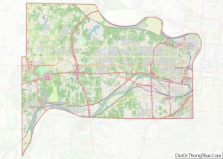
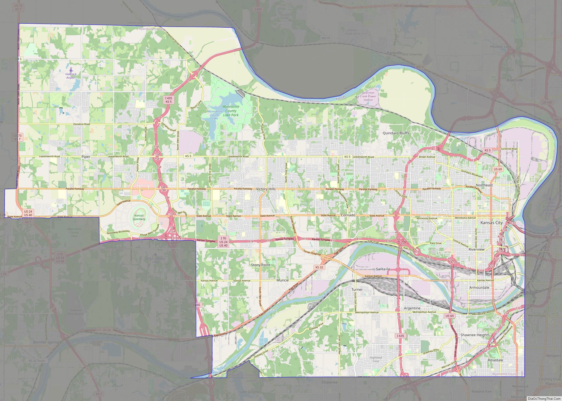
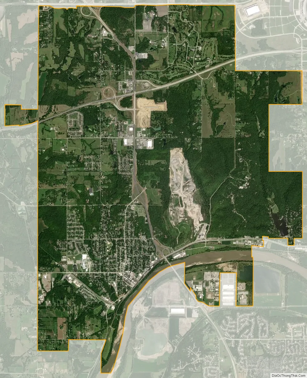
Bonner Springs city Satellite Map
Geography
Bonner Springs is located at 39°03′35″N 94°53′01″W / 39.0597260°N 94.8835754°W / 39.0597260; -94.8835754 (39.0597260, −94.8835754), primarily on the north side of the Kansas River. It is mainly in southwestern Wyandotte County, with small portions extending west into Leavenworth County and south across the Kansas River into Johnson County. It is bordered to the north by Kansas City, Kansas, to the east by Edwardsville, and to the south across the Kansas River by Shawnee. Interstate 70, the Kansas Turnpike, passes through the northern part of the city, with access from Exits 224 and 224A (U.S. Route 73 and Kansas Highway 7). I-70 leads east 17 miles (27 km) to Kansas City, Missouri, and west 21 miles (34 km) to Lawrence, while US-73 leads north 16 miles (26 km) to Leavenworth, and K-7 leads south the same distance to Olathe. K-32 runs through the center of Bonner Springs close to the Kansas River, leading east 4 miles (6 km) into Edwardsville and west 10 miles (16 km) to Linwood.
According to the United States Census Bureau, the city has a total area of 15.99 square miles (41.42 km), of which 15.98 square miles (41.40 km) are land and 0.36 square miles (0.93 km), or 2.26%, are water.
Climate
Bonner Springs has a humid continental climate, typically experiencing hot, humid summers and cold, dry winters.
See also
Map of Kansas State and its subdivision:- Allen
- Anderson
- Atchison
- Barber
- Barton
- Bourbon
- Brown
- Butler
- Chase
- Chautauqua
- Cherokee
- Cheyenne
- Clark
- Clay
- Cloud
- Coffey
- Comanche
- Cowley
- Crawford
- Decatur
- Dickinson
- Doniphan
- Douglas
- Edwards
- Elk
- Ellis
- Ellsworth
- Finney
- Ford
- Franklin
- Geary
- Gove
- Graham
- Grant
- Gray
- Greeley
- Greenwood
- Hamilton
- Harper
- Harvey
- Haskell
- Hodgeman
- Jackson
- Jefferson
- Jewell
- Johnson
- Kearny
- Kingman
- Kiowa
- Labette
- Lane
- Leavenworth
- Lincoln
- Linn
- Logan
- Lyon
- Marion
- Marshall
- McPherson
- Meade
- Miami
- Mitchell
- Montgomery
- Morris
- Morton
- Nemaha
- Neosho
- Ness
- Norton
- Osage
- Osborne
- Ottawa
- Pawnee
- Phillips
- Pottawatomie
- Pratt
- Rawlins
- Reno
- Republic
- Rice
- Riley
- Rooks
- Rush
- Russell
- Saline
- Scott
- Sedgwick
- Seward
- Shawnee
- Sheridan
- Sherman
- Smith
- Stafford
- Stanton
- Stevens
- Sumner
- Thomas
- Trego
- Wabaunsee
- Wallace
- Washington
- Wichita
- Wilson
- Woodson
- Wyandotte
- Alabama
- Alaska
- Arizona
- Arkansas
- California
- Colorado
- Connecticut
- Delaware
- District of Columbia
- Florida
- Georgia
- Hawaii
- Idaho
- Illinois
- Indiana
- Iowa
- Kansas
- Kentucky
- Louisiana
- Maine
- Maryland
- Massachusetts
- Michigan
- Minnesota
- Mississippi
- Missouri
- Montana
- Nebraska
- Nevada
- New Hampshire
- New Jersey
- New Mexico
- New York
- North Carolina
- North Dakota
- Ohio
- Oklahoma
- Oregon
- Pennsylvania
- Rhode Island
- South Carolina
- South Dakota
- Tennessee
- Texas
- Utah
- Vermont
- Virginia
- Washington
- West Virginia
- Wisconsin
- Wyoming