Map of Donaldsonville city

Map of Donaldsonville city

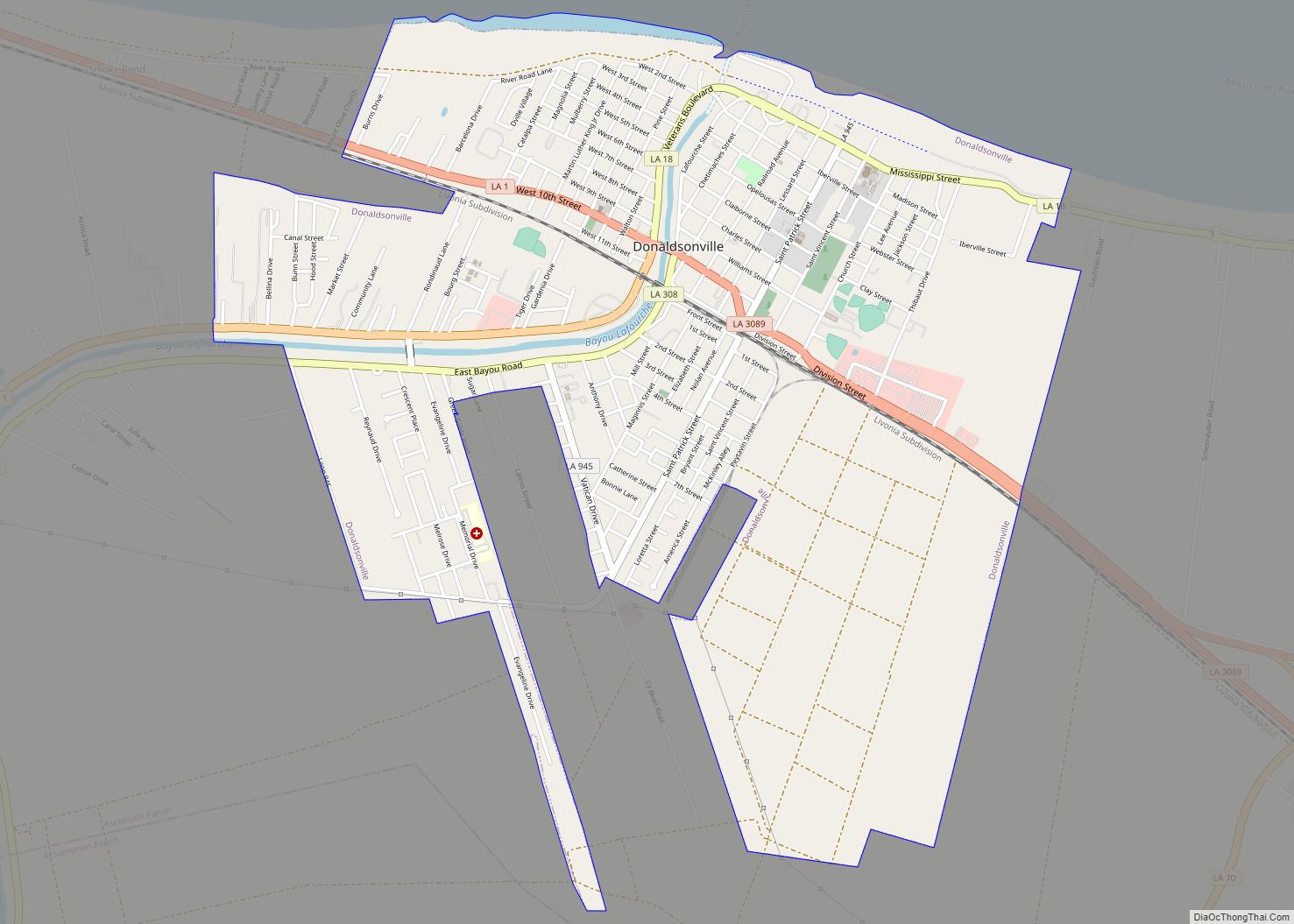
Donaldsonville (historically French: Lafourche-des-Chitimachas) is a city in, and the parish seat of Ascension Parish in the U.S. state of Louisiana. Located along the River Road of the west bank of the Mississippi River, it is a part of the Baton Rouge metropolitan statistical area. At the 2020 U.S. census, it had a population of … Read more

Map of Dubberly village

Map of Dubberly village

Dubberly is a village in Webster Parish, Louisiana, United States. The population was 290 at the 2000 census. It is part of the Minden Micropolitan Statistical Area. Former Governor Robert F. Kennon was born in Dubberly in 1902 but reared in Minden. James Burton, a popular rock and roll/Country music guitarist, was born in Dubberly … Read more

Map of Dubach town

Map of Dubach town

Dubach is a town in Lincoln Parish, Louisiana, United States. The population was 908 in 2020. Dubach is part of the Ruston micropolitan statistical area. Dubach town overview: Name: Dubach town LSAD Code: 43 LSAD Description: town (suffix) State: Louisiana County: Lincoln Parish Elevation: 164 ft (50 m) Total Area: 1.88 sq mi (4.87 km²) Land Area: 1.82 sq mi (4.71 km²) Water … Read more

Map of Dry Prong village

Map of Dry Prong village

Dry Prong is a village in central Grant Parish, Louisiana, United States. It is part of the Alexandria, Louisiana Metropolitan Statistical Area. The population was 436 at the 2010 census. Dry Prong village overview: Name: Dry Prong village LSAD Code: 47 LSAD Description: village (suffix) State: Louisiana County: Grant Parish Elevation: 230 ft (70 m) Total Area: … Read more

Map of East Hodge village

Map of East Hodge village

East Hodge is a village in Jackson Parish, Louisiana, United States. The population was 289 at the 2010 census, down from 366 at the 2000 census. It is part of the Ruston Micropolitan Statistical Area. East Hodge village overview: Name: East Hodge village LSAD Code: 47 LSAD Description: village (suffix) State: Louisiana County: Jackson Parish … Read more

Map of Duson town

Map of Duson town

Duson is a town in Acadia and Lafayette parishes in the U.S. state of Louisiana. The town was named after Curley Duson, a sheriff of St. Landry Parish. At the 2010 U.S. census, the town had a population of 1,716; in 2020, at the population estimates program, its population was 1,761. The Lafayette Parish portion … Read more

Map of Dulac CDP

Map of Dulac CDP

Dulac is a census-designated place (CDP) in Terrebonne Parish, Louisiana, United States. The population was 1,241 in 2020. It is part of the Houma–Bayou Cane–Thibodaux metropolitan statistical area. Dulac CDP overview: Name: Dulac CDP LSAD Code: 57 LSAD Description: CDP (suffix) State: Louisiana County: Terrebonne Parish Elevation: 3 ft (0.9 m) Total Area: 18.15 sq mi (47.02 km²) Land Area: … Read more

Map of Edgard CDP

Map of Edgard CDP

Edgard is a census-designated place (CDP) in, and the parish seat of, St. John the Baptist Parish, Louisiana, United States. The population was 2,637 at the 2000 census and 1,948 in 2020. It is part of the New Orleans–Metairie–Kenner Metropolitan Statistical Area. Edgard is part of the German Coast of Louisiana. Edgard CDP overview: Name: … Read more

Map of Eden Isle CDP

Map of Eden Isle CDP

Eden Isle is a census-designated place (CDP) in St. Tammany Parish, Louisiana, United States, on the northeast shore of Lake Pontchartrain. The population was 7,041 at the 2010 census. It is part of the New Orleans–Metairie–Kenner Metropolitan Statistical Area. The area is a residential community with homes built on a system of canals connecting to … Read more

Map of Eastwood CDP

Map of Eastwood CDP, Louisiana

Eastwood is a census-designated place (CDP) in Bossier Parish, Louisiana, United States. The population was 4,093 at the 2010 census. It is part of the Shreveport–Bossier City Metropolitan Statistical Area. Eastwood CDP overview: Name: Eastwood CDP LSAD Code: 57 LSAD Description: CDP (suffix) State: Louisiana County: Bossier Parish Elevation: 239 ft (73 m) Total Area: 6.35 sq mi (16.44 km²) … Read more

Map of Elizabeth town, Louisiana

Map of Elizabeth town, Louisiana

Elizabeth is a village in Allen Parish, Louisiana, United States with population of 417 in the 2020 census. It was a town and had population of 532 at the 2010 census. Elizabeth town overview: Name: Elizabeth town LSAD Code: 43 LSAD Description: town (suffix) State: Louisiana County: Allen Parish Elevation: 144 ft (44 m) Total Area: 1.65 sq mi … Read more

Map of Egan CDP

Map of Egan CDP, Louisiana

Egan is an unincorporated community and census-designated place in Acadia Parish, Louisiana, United States, located between Crowley and Jennings along Louisiana Highway 100, approximately two and one-half miles north of Midland near Bayou Jonas. The community is a part of the Crowley Micropolitan Statistical Area. As of the 2010 census, it had a population of … Read more