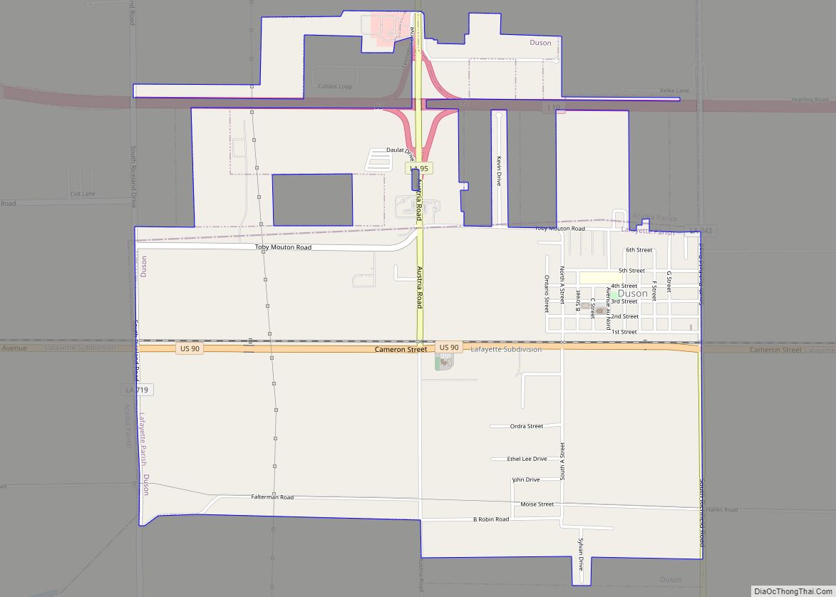
Duson is a town in Acadia and Lafayette parishes in the U.S. state of Louisiana. The town was named after Curley Duson, a sheriff of St. Landry Parish. At the 2010 U.S. census, the town had a population of 1,716; in 2020, at the population estimates program, its population was 1,761. The Lafayette Parish portion of Duson is part of the Lafayette metropolitan statistical area, while the Acadia Parish portion is part of the Crowley micropolitan statistical area.
| Name: | Duson town |
|---|---|
| LSAD Code: | 43 |
| LSAD Description: | town (suffix) |
| State: | Louisiana |
| County: | Acadia Parish, Lafayette Parish |
| Elevation: | 36 ft (11 m) |
| Total Area: | 3.02 sq mi (7.81 km²) |
| Land Area: | 3.01 sq mi (7.79 km²) |
| Water Area: | 0.01 sq mi (0.02 km²) |
| Total Population: | 1,326 |
| Population Density: | 440.82/sq mi (170.21/km²) |
| Area code: | 337 |
| FIPS code: | 2222255 |
| Website: | townofduson.com |
Online Interactive Map
Click on ![]() to view map in "full screen" mode.
to view map in "full screen" mode.
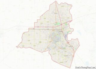
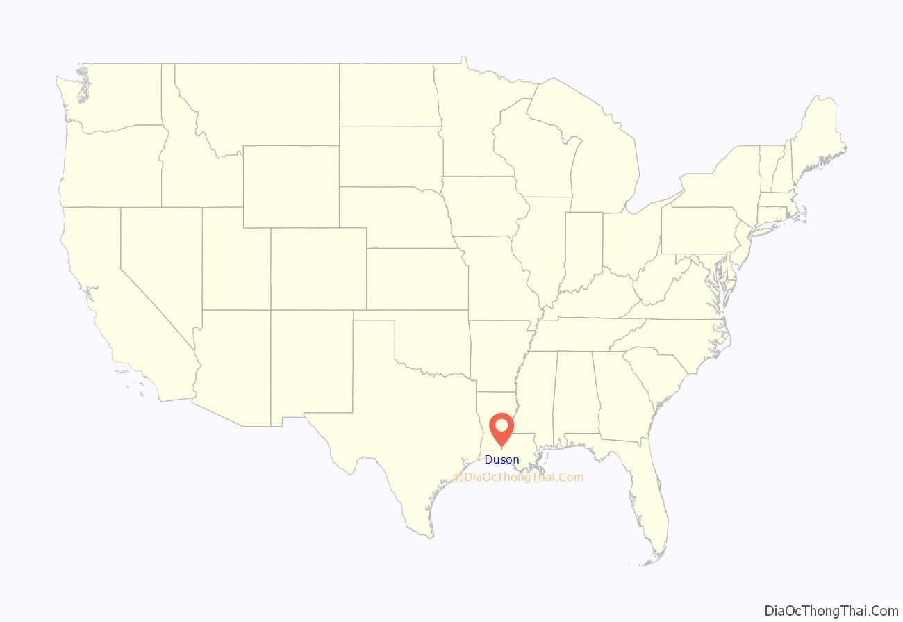
Duson location map. Where is Duson town?
History
Originally known as “Duson Station”, the town was laid out by J.G. Parkerson, general manager of the Louisiana Western Railroad. By August 30, 1880, the railroad line from New Orleans to Houston was completed, and passenger and freight service began. It merged with the Southern Pacific Railroad in 1900. The village of Duson was incorporated on December 16, 1909, named after the land developer Curley Duson, and installed Adolph De Jean as the first mayor.
In 1927, St. Theresa Catholic Church was completed. Cotton farming was the main agriculture for the area. Three cotton gins were in Duson until the mid-1960s. Fires destroyed two and the third was torn down. After World War II, small lots east of Duson were developed, with small houses using brick siding paper on the exterior. Because of that, the area became known as “Paper Town.”
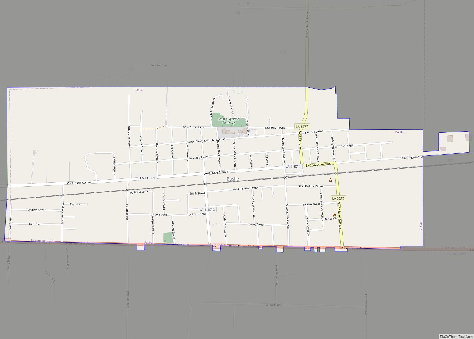
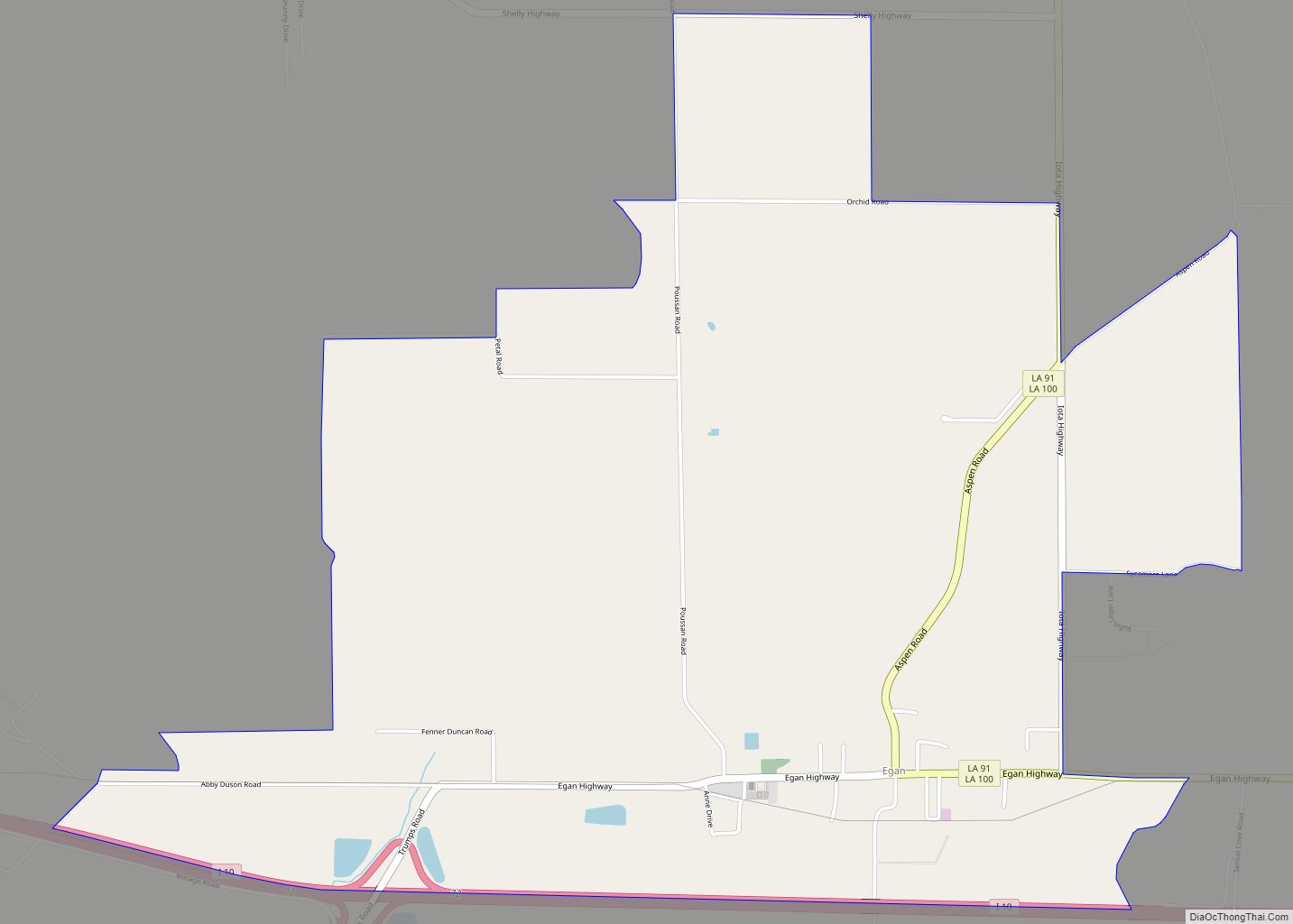
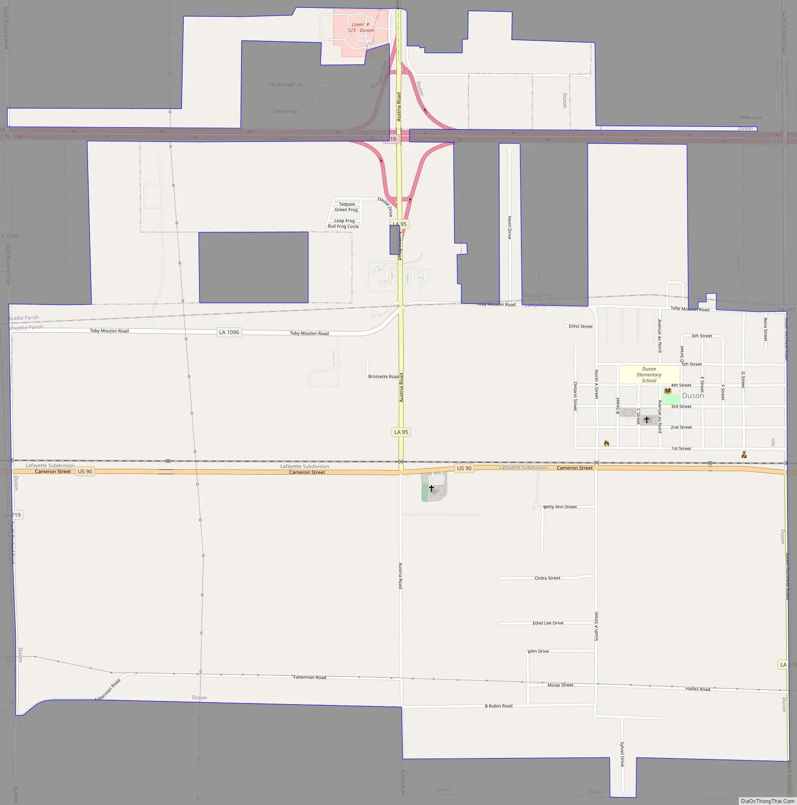
Duson Road Map
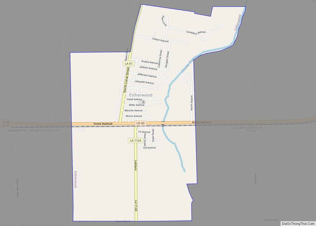
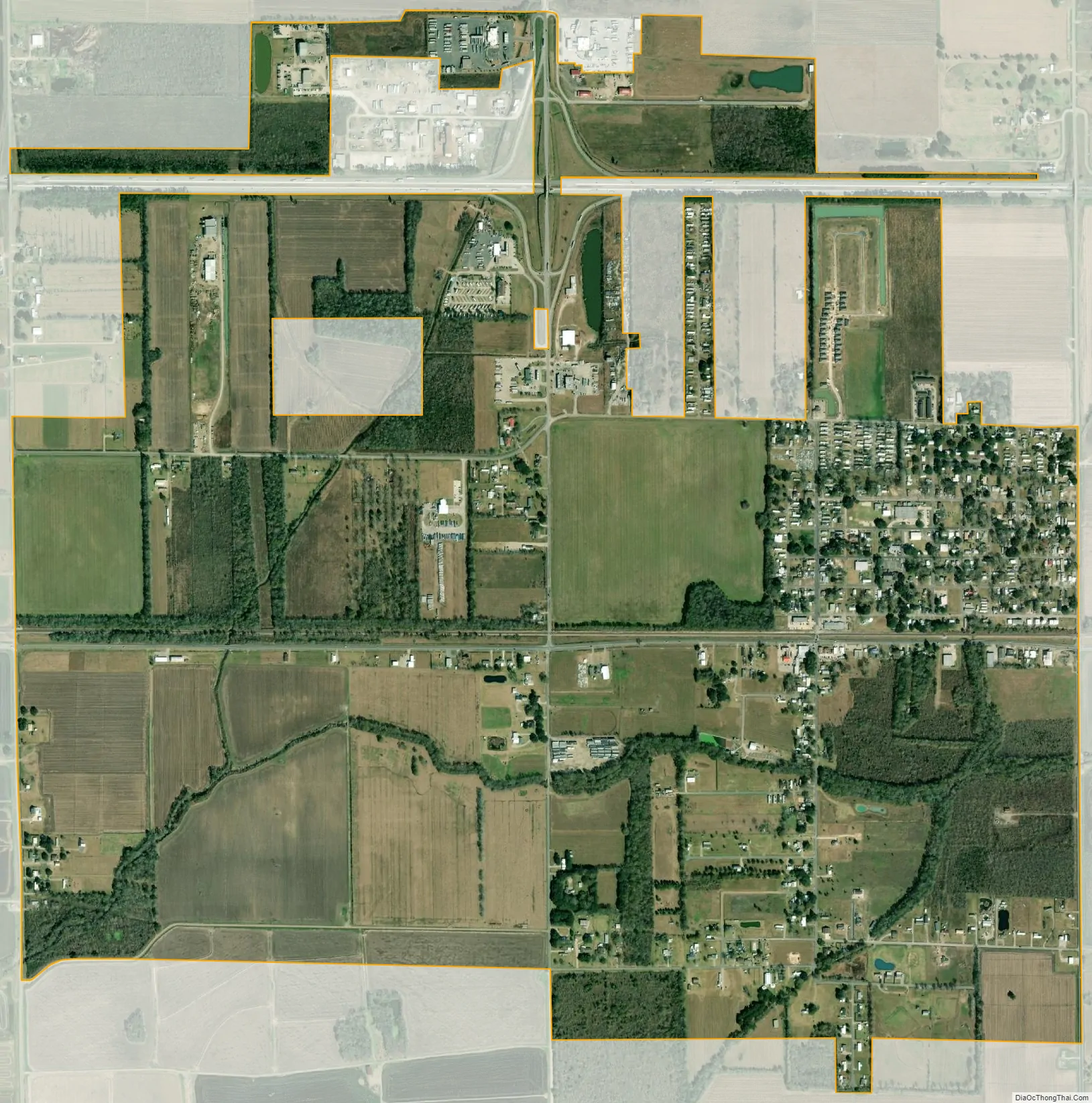
Duson city Satellite Map
Geography
Duson is located at 30°14′29.27″N 92°11′3.91″W / 30.2414639°N 92.1844194°W / 30.2414639; -92.1844194 (30.241464, -92.184419), in the Acadiana region of southern Louisiana. According to the United States Census Bureau, the town has a total area of 2.8 square miles (7.2 km), of which 0.0077 square miles (0.02 km), or 0.32%, is water.
See also
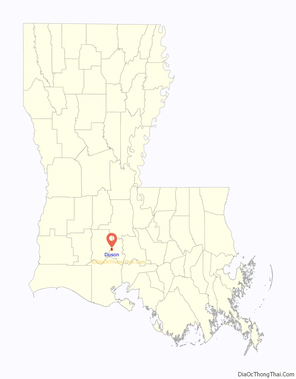
Map of Louisiana State and its subdivision:- Acadia
- Allen
- Ascension
- Assumption
- Avoyelles
- Beauregard
- Bienville
- Bossier
- Caddo
- Calcasieu
- Caldwell
- Cameron
- Catahoula
- Claiborne
- Concordia
- De Soto
- East Baton Rouge
- East Carroll
- East Feliciana
- Evangeline
- Franklin
- Grant
- Iberia
- Iberville
- Jackson
- Jefferson
- Jefferson Davis
- La Salle
- Lafayette
- Lafourche
- Lincoln
- Livingston
- Madison
- Morehouse
- Natchitoches
- Orleans
- Ouachita
- Plaquemines
- Pointe Coupee
- Rapides
- Red River
- Richland
- Sabine
- Saint Bernard
- Saint Charles
- Saint Helena
- Saint James
- Saint John the Baptist
- Saint Landry
- Saint Martin
- Saint Mary
- Saint Tammany
- Tangipahoa
- Tensas
- Terrebonne
- Union
- Vermilion
- Vernon
- Washington
- Webster
- West Baton Rouge
- West Carroll
- West Feliciana
- Winn
- Alabama
- Alaska
- Arizona
- Arkansas
- California
- Colorado
- Connecticut
- Delaware
- District of Columbia
- Florida
- Georgia
- Hawaii
- Idaho
- Illinois
- Indiana
- Iowa
- Kansas
- Kentucky
- Louisiana
- Maine
- Maryland
- Massachusetts
- Michigan
- Minnesota
- Mississippi
- Missouri
- Montana
- Nebraska
- Nevada
- New Hampshire
- New Jersey
- New Mexico
- New York
- North Carolina
- North Dakota
- Ohio
- Oklahoma
- Oregon
- Pennsylvania
- Rhode Island
- South Carolina
- South Dakota
- Tennessee
- Texas
- Utah
- Vermont
- Virginia
- Washington
- West Virginia
- Wisconsin
- Wyoming