Edgard is a census-designated place (CDP) in, and the parish seat of, St. John the Baptist Parish, Louisiana, United States. The population was 2,637 at the 2000 census and 1,948 in 2020. It is part of the New Orleans–Metairie–Kenner Metropolitan Statistical Area. Edgard is part of the German Coast of Louisiana.
| Name: | Edgard CDP |
|---|---|
| LSAD Code: | 57 |
| LSAD Description: | CDP (suffix) |
| State: | Louisiana |
| County: | St. John the Baptist Parish |
| Elevation: | 13 ft (4 m) |
| Total Area: | 13.82 sq mi (35.81 km²) |
| Land Area: | 11.38 sq mi (29.49 km²) |
| Water Area: | 2.44 sq mi (6.32 km²) |
| Total Population: | 1,948 |
| Population Density: | 171.12/sq mi (66.07/km²) |
| ZIP code: | 70049 |
| Area code: | 985 |
| FIPS code: | 2222815 |
Online Interactive Map
Click on ![]() to view map in "full screen" mode.
to view map in "full screen" mode.
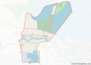
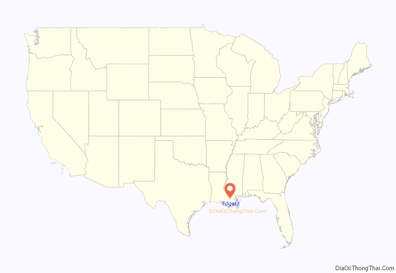
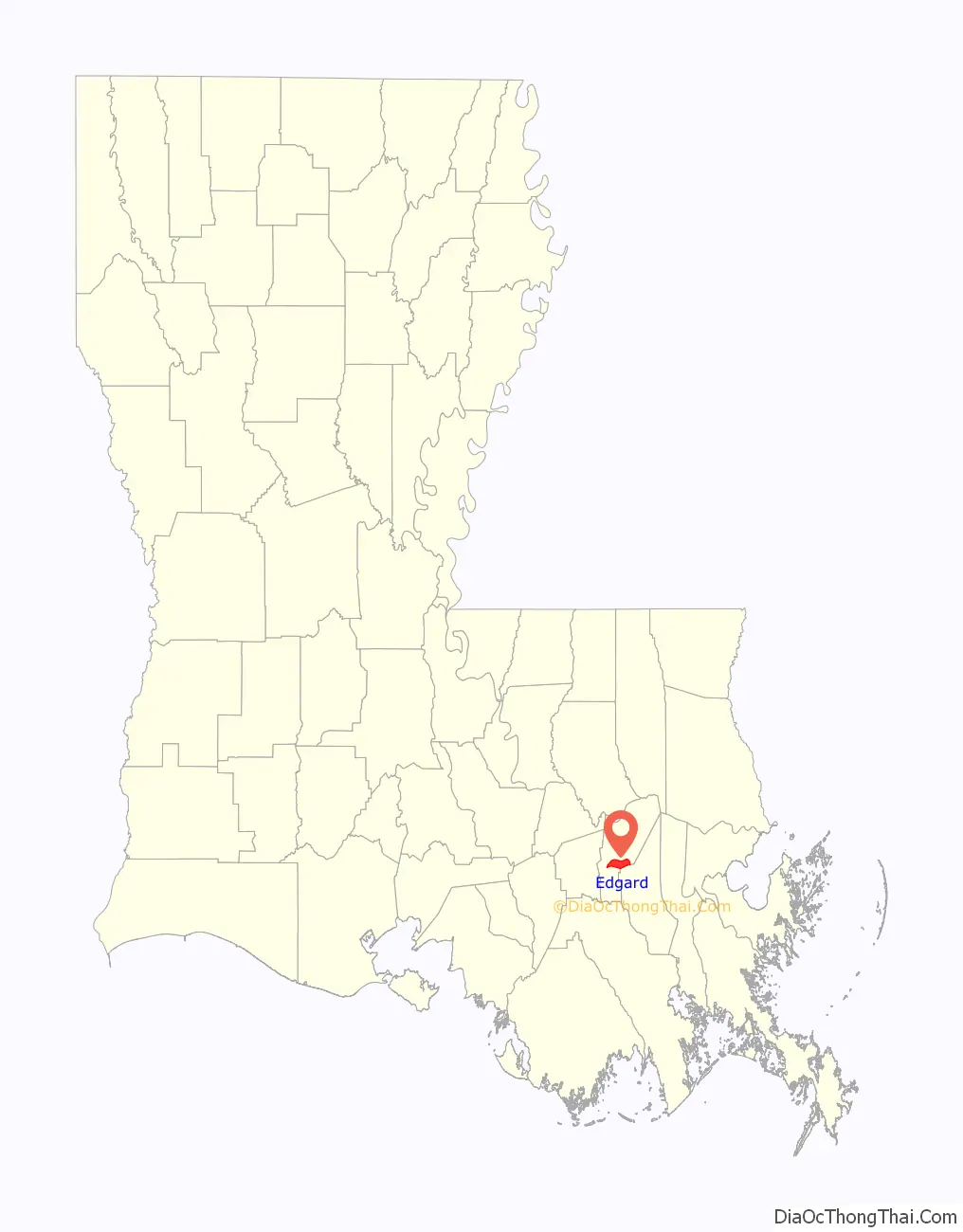
Edgard location map. Where is Edgard CDP?
History
One of the parish’s first communities and a social haunt of the privateer Jean Lafitte, Edgard has been the parish seat since 1848. Originally named St. John the Baptist for the Catholic church at its heart, Edgard was renamed in 1850 for its postmaster, Edgar Perret. Edgard’s first St. John the Baptist Catholic Church (1772) was destroyed by the Poché Crévasse in 1821. Another church was soon erected. In 1918 fire gutted the building. Parishioners gave generously to replace the church and, by the time the new church opened its doors, all debts had been paid.
The economic history of Edgard included a sawmill operated by Severin Tassin, a brick factory begun in 1878, and numerous sugar plantations that operated in the century between 1794 and 1894. By 1899, more than fifty family-owned sugar houses (sugar mills) were still operating.
The majority of the town’s folk worked in the sugar houses, in the fields, or in support of the sugar industry. Many families leased land from the Caires and Graugnards on Columbia Plantation, cultivating their own produce to sell. In 1899, the Mississippi River presented excitement when in the late winter, ice could be seen floating downstream. The ice flows jammed the river, interrupting ship traffic for several days.
In early Edgard, a favorite event of many townspeople was the arrival of the showboat, which would dock at Caire’s Landing. They never knew when the next boat would arrive. When it did and sounded its calliope, the instrument could be heard as far away as Wallace. Modern vessels still pass by on the river.
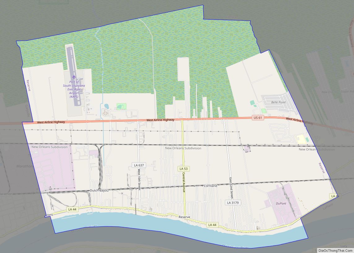
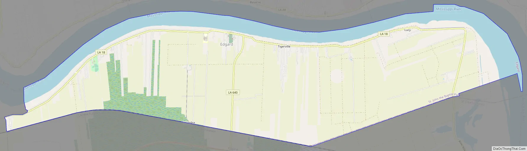
Edgard Road Map
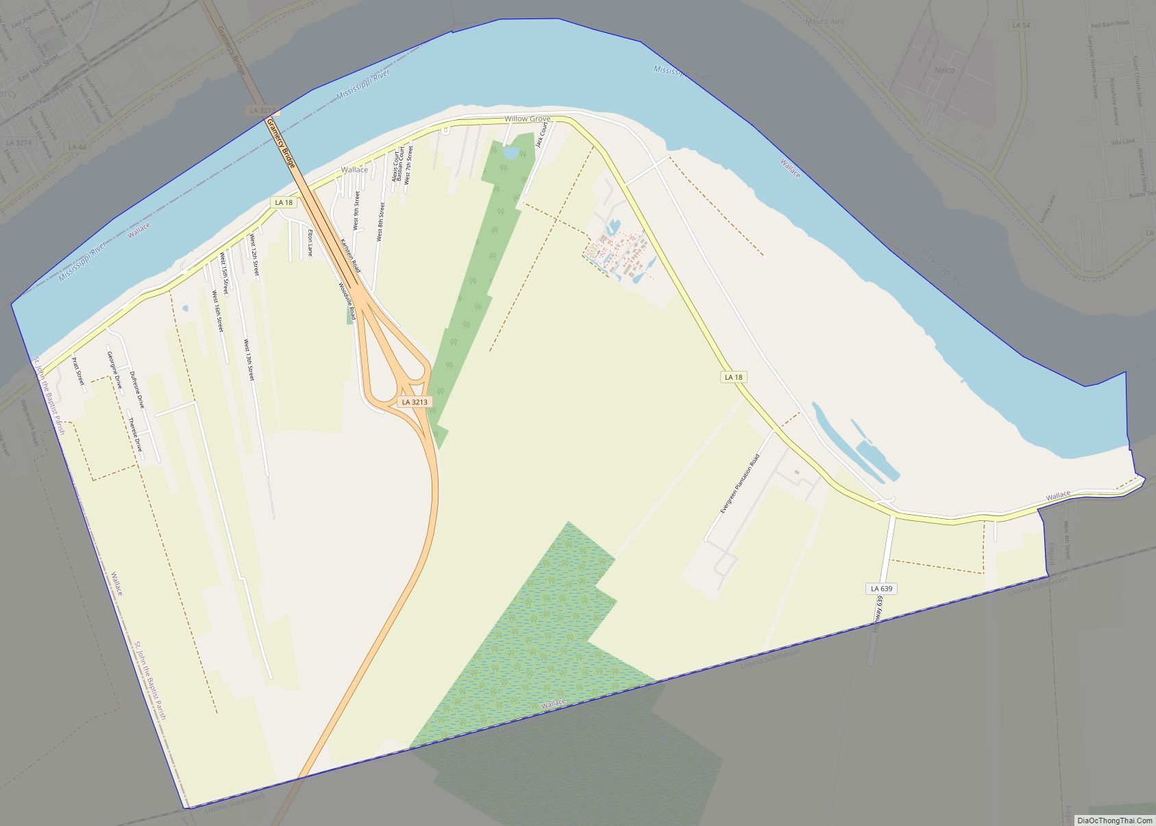
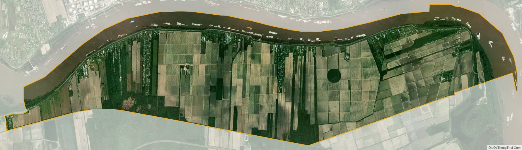
Edgard city Satellite Map
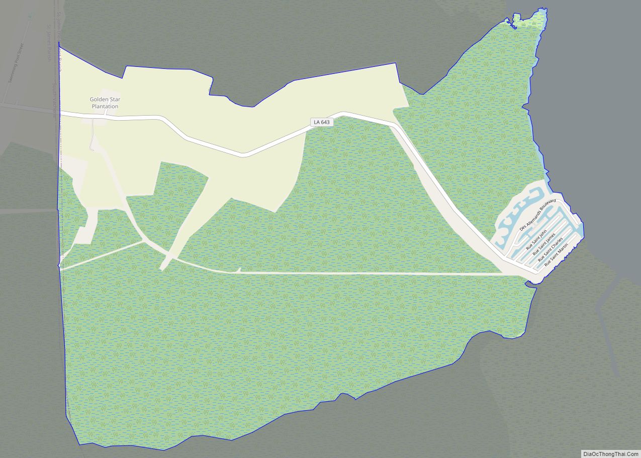
Geography
Edgard is located on the west bank of the Mississippi River and has an elevation of 13 feet (4.0 m).
According to the United States Census Bureau, the CDP has a total area of 17.9 square miles (46 km), of which 15.5 square miles (40 km) is land and 2.3 square miles (6.0 km) (13.09%) is water.
See also
Map of Louisiana State and its subdivision:- Acadia
- Allen
- Ascension
- Assumption
- Avoyelles
- Beauregard
- Bienville
- Bossier
- Caddo
- Calcasieu
- Caldwell
- Cameron
- Catahoula
- Claiborne
- Concordia
- De Soto
- East Baton Rouge
- East Carroll
- East Feliciana
- Evangeline
- Franklin
- Grant
- Iberia
- Iberville
- Jackson
- Jefferson
- Jefferson Davis
- La Salle
- Lafayette
- Lafourche
- Lincoln
- Livingston
- Madison
- Morehouse
- Natchitoches
- Orleans
- Ouachita
- Plaquemines
- Pointe Coupee
- Rapides
- Red River
- Richland
- Sabine
- Saint Bernard
- Saint Charles
- Saint Helena
- Saint James
- Saint John the Baptist
- Saint Landry
- Saint Martin
- Saint Mary
- Saint Tammany
- Tangipahoa
- Tensas
- Terrebonne
- Union
- Vermilion
- Vernon
- Washington
- Webster
- West Baton Rouge
- West Carroll
- West Feliciana
- Winn
- Alabama
- Alaska
- Arizona
- Arkansas
- California
- Colorado
- Connecticut
- Delaware
- District of Columbia
- Florida
- Georgia
- Hawaii
- Idaho
- Illinois
- Indiana
- Iowa
- Kansas
- Kentucky
- Louisiana
- Maine
- Maryland
- Massachusetts
- Michigan
- Minnesota
- Mississippi
- Missouri
- Montana
- Nebraska
- Nevada
- New Hampshire
- New Jersey
- New Mexico
- New York
- North Carolina
- North Dakota
- Ohio
- Oklahoma
- Oregon
- Pennsylvania
- Rhode Island
- South Carolina
- South Dakota
- Tennessee
- Texas
- Utah
- Vermont
- Virginia
- Washington
- West Virginia
- Wisconsin
- Wyoming