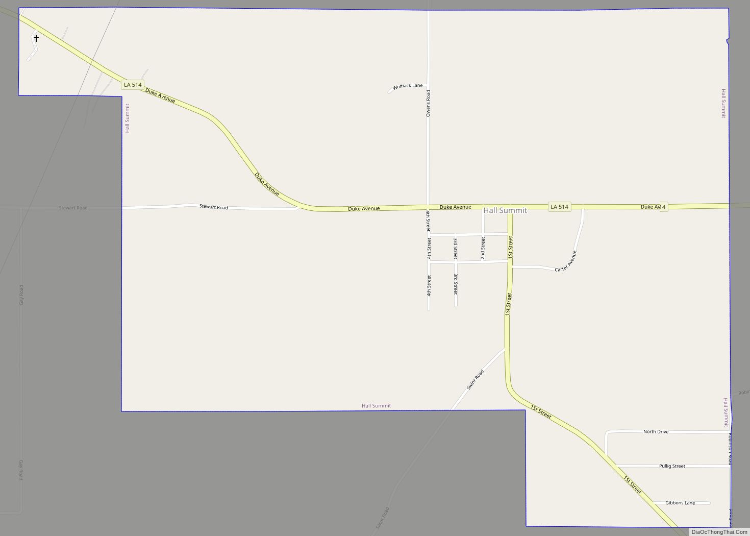
Hall Summit is a village in Red River Parish, Louisiana, United States. The population was 264 at the 2000 census. Hall Summit village overview: Name: Hall Summit village LSAD Code: 47 LSAD Description: village (suffix) State: Louisiana County: Red River Parish Total Area: 1.68 sq mi (4.34 km²) Land Area: 1.67 sq mi (4.33 km²) Water Area: 0.00 sq mi (0.01 km²) Total Population: ... Read more
Louisiana Cities and Places
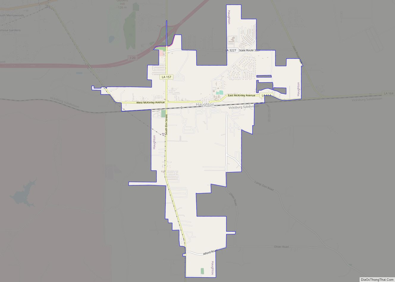
Haughton is a town in Bossier Parish, Louisiana, United States. The population was 4,539 in 2020. It is part of the Shreveport–Bossier City metropolitan statistical area. Haughton town overview: Name: Haughton town LSAD Code: 43 LSAD Description: town (suffix) State: Louisiana County: Bossier Parish Elevation: 239 ft (73 m) Total Area: 5.72 sq mi (14.82 km²) Land Area: 5.72 sq mi (14.82 km²) ... Read more
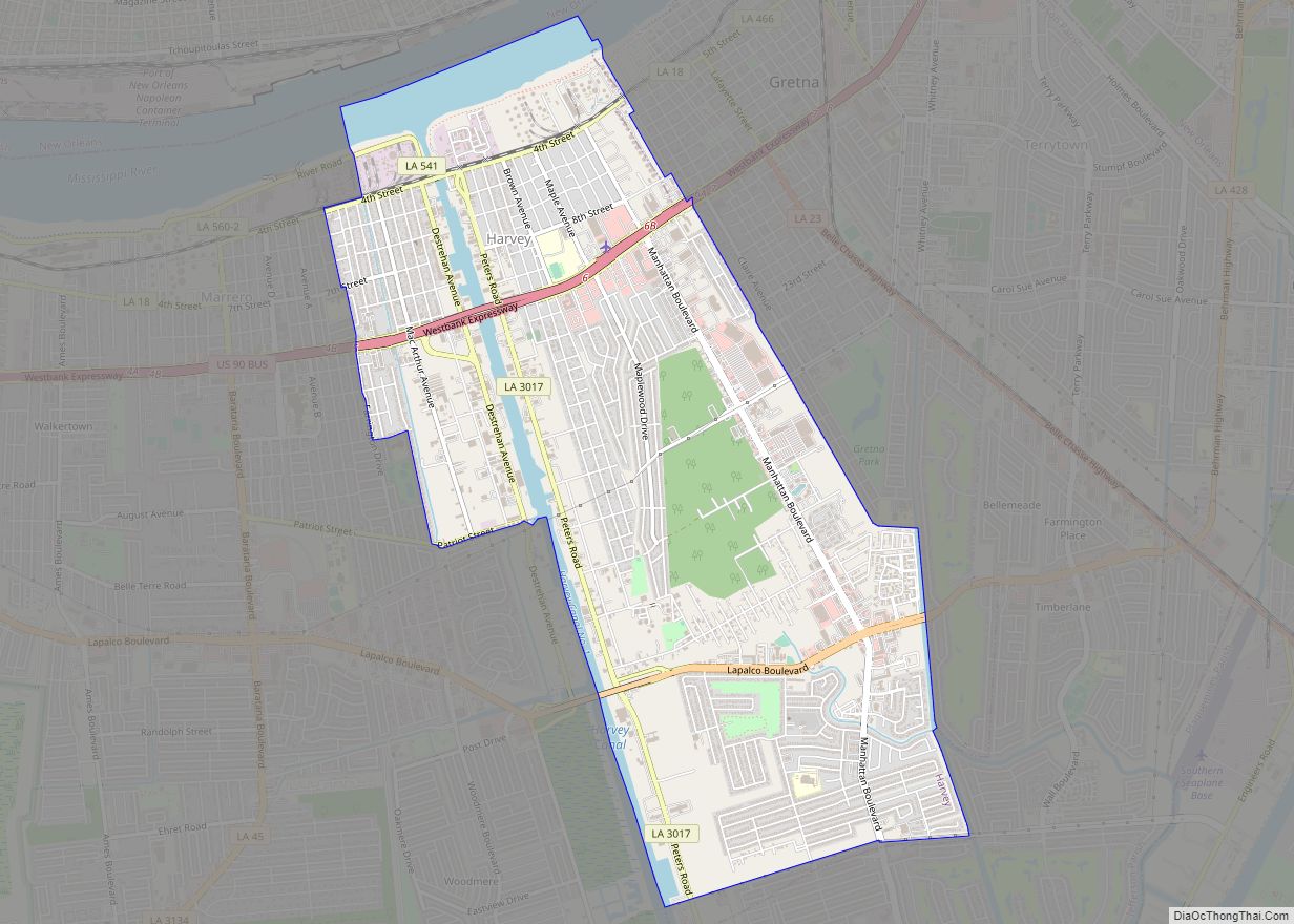
Harvey is a census-designated place (CDP) in Jefferson Parish, Louisiana, United States. Harvey is on the south side (referred to as the “West Bank”) of the Mississippi River, within the New Orleans–Metairie–Kenner metropolitan statistical area. The majority-minority population was 20,348 at the 2010 census, down from 22,226 at the 2000 census. The 2020 census determined ... Read more
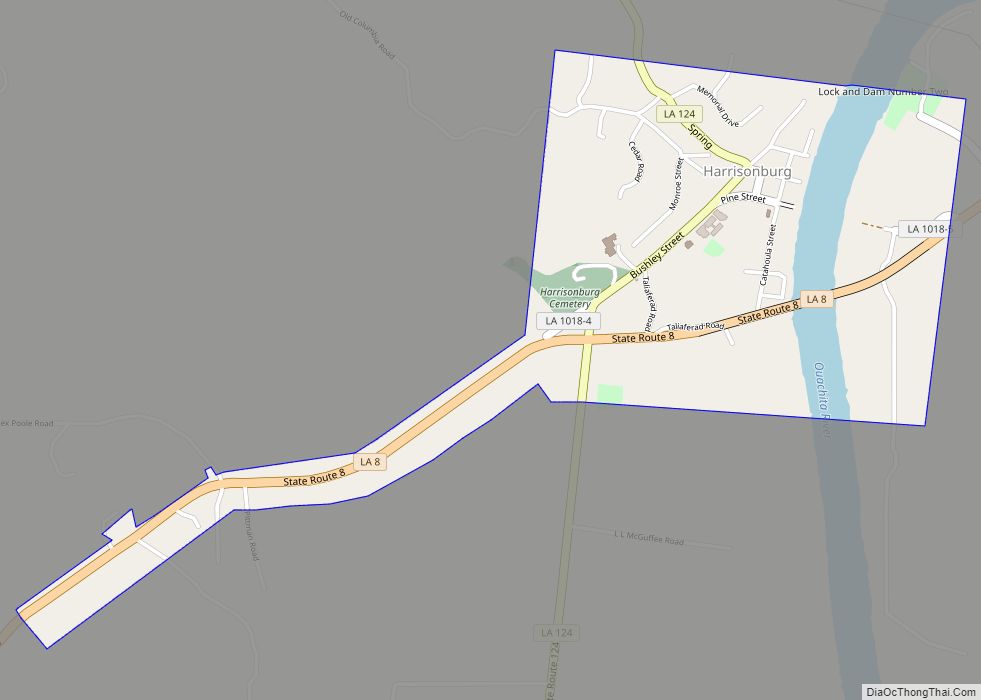
Harrisonburg is a village in and the parish seat of Catahoula Parish, Louisiana, United States. The population was 348 as of the 2010 census, down from 746 in 2000. Riley J. Wilson, who held Louisiana’s 5th congressional district seat from 1915 to 1937, resided in Harrisonburg, where he was principal of Harrisonburg High School and ... Read more
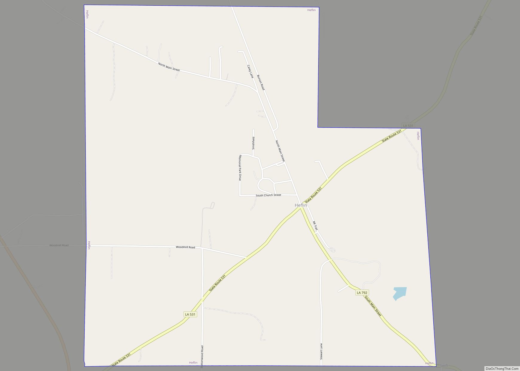
Heflin is a village in southern Webster Parish, Louisiana, United States. The population was 245 at the 2000 census. It is part of the Minden Micropolitan Statistical Area. On April 5, 2013, voters by a margin of 50-30 recalled Mayor Judy Tillman, a Democrat, from office. No candidate qualified to fill the mayor’s office in ... Read more
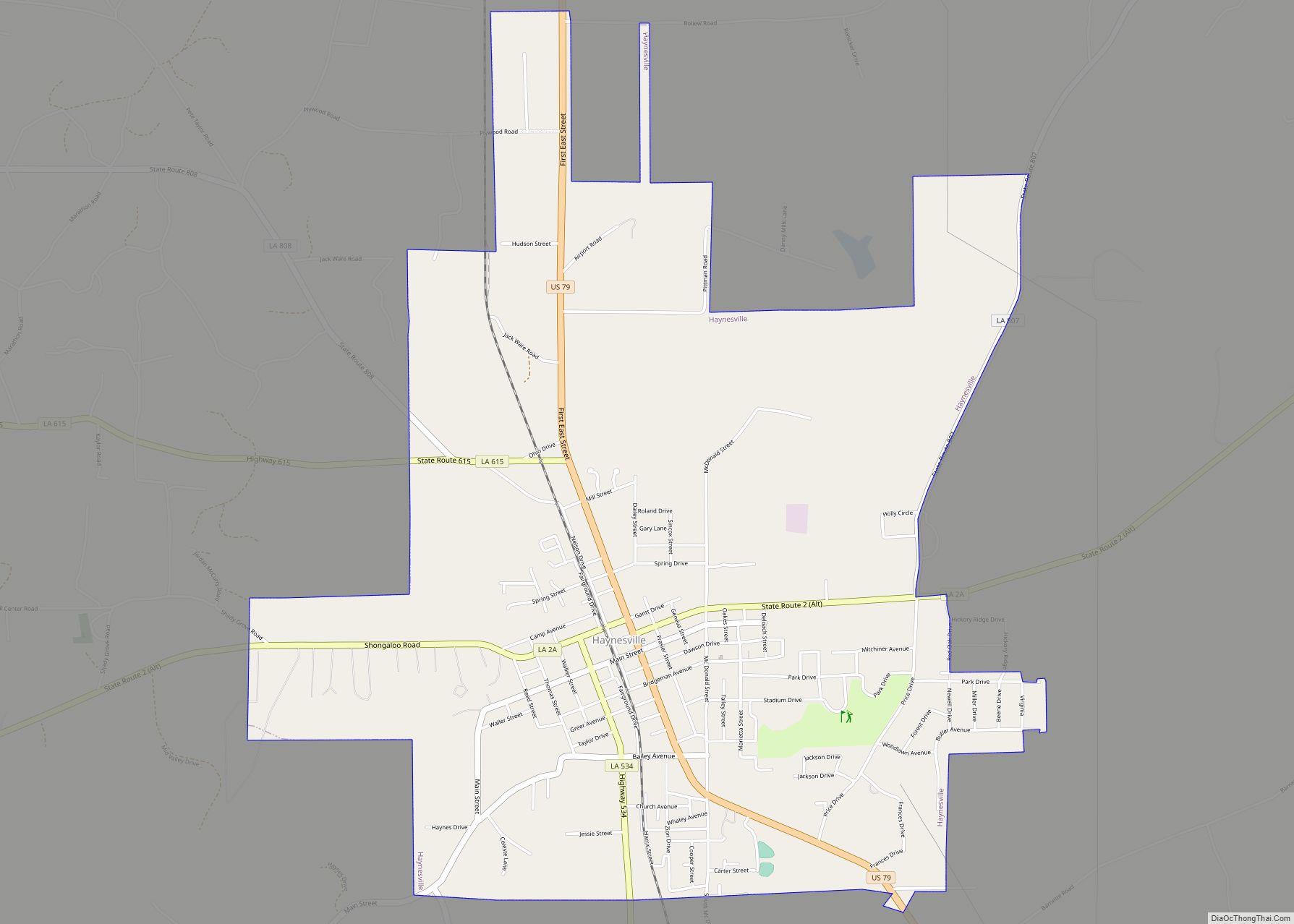
Haynesville is a town in northern Claiborne Parish, Louisiana, United States, located just south of the Arkansas border. The population was 2,039 in 2020. Haynesville is known as the “Gateway to North Louisiana” and the “Butterfly Capital of Louisiana”. Loice Kendrick-Lacy of Haynesville published Gardening To Attract Butterflies: The Beauty And The Beast (2012). Kendrick-Lacy ... Read more
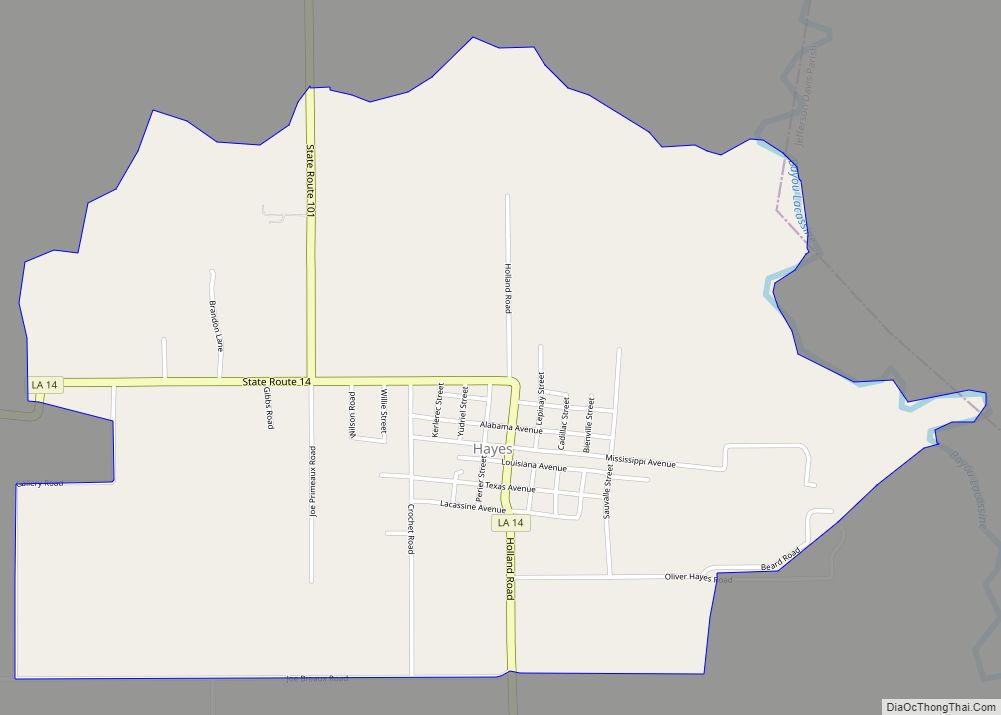
Hayes (pronounced heɪz) is an unincorporated community and census-designated place (CDP) located in Calcasieu Parish, Louisiana, United States. As of the 2010 census it had a population of 780. It is part of the Lake Charles Metropolitan Statistical Area. Hayes also is home to the musical artist known as Rosco from the Pop duo Jaime ... Read more
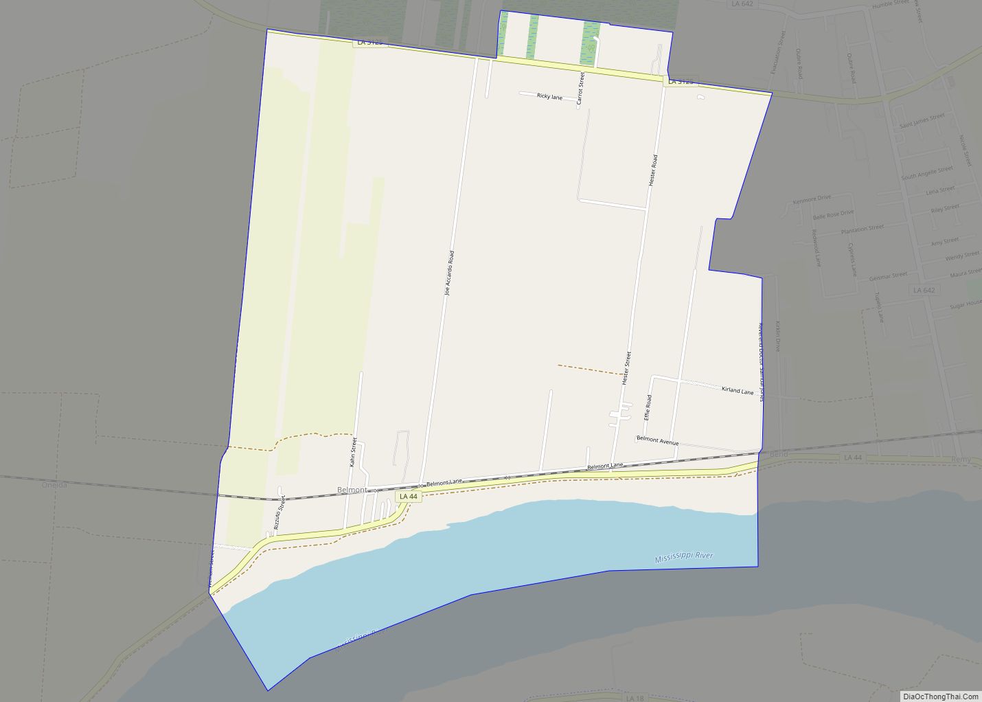
Hester is an unincorporated community and census-designated place in St. James Parish, Louisiana, United States. Its population was 498 as of the 2010 census. The community is located along Louisiana Highway 44 on the east bank of the Mississippi River. Hester CDP overview: Name: Hester CDP LSAD Code: 57 LSAD Description: CDP (suffix) State: Louisiana ... Read more
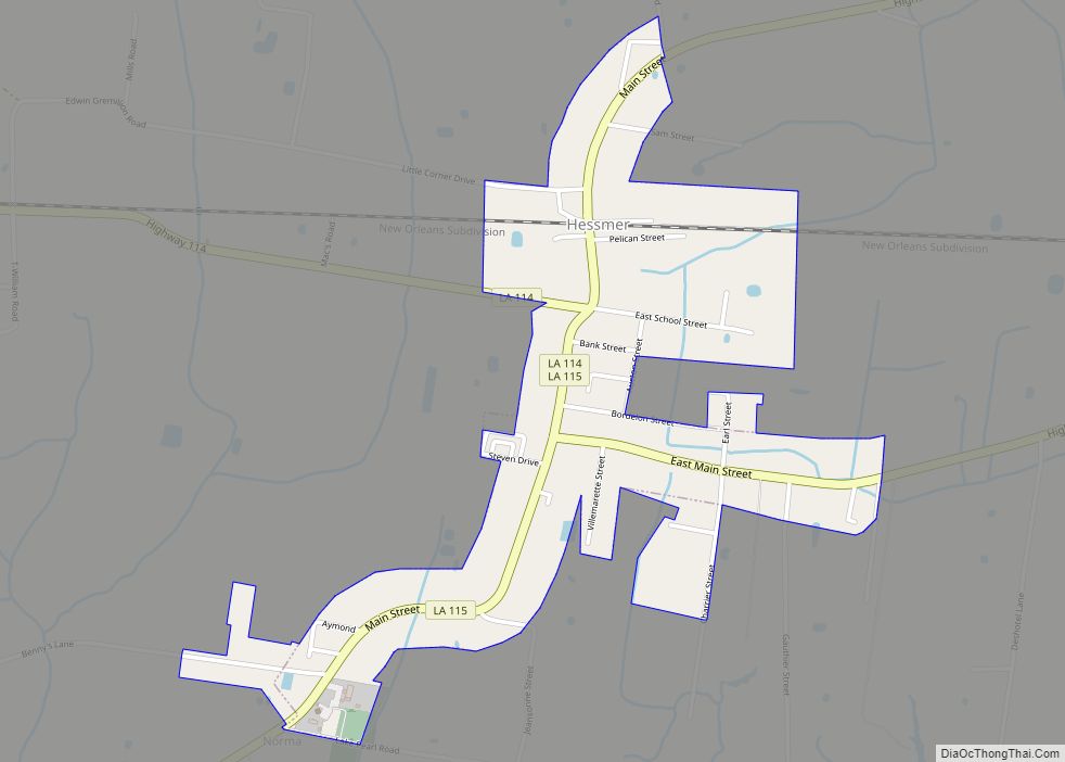
Hessmer is a village in Avoyelles Parish, Louisiana, United States. The population was 802 at the 2010 census. Hessmer village overview: Name: Hessmer village LSAD Code: 47 LSAD Description: village (suffix) State: Louisiana County: Avoyelles Parish Incorporated: 1955 Elevation: 79 ft (24 m) Total Area: 0.83 sq mi (2.14 km²) Land Area: 0.83 sq mi (2.14 km²) Water Area: 0.00 sq mi (0.00 km²) Total Population: ... Read more
Henderson is a town in St. Martin Parish, Louisiana, United States. Part of the Lafayette metropolitan area, its population was 1,617 at the 2020 U.S. census. Home to Cajun Palms RV Resort, it was rated in 2017 as the best campsite in Louisiana in a 50-state survey conducted by Msn.com. Henderson town overview: Name: Henderson ... Read more
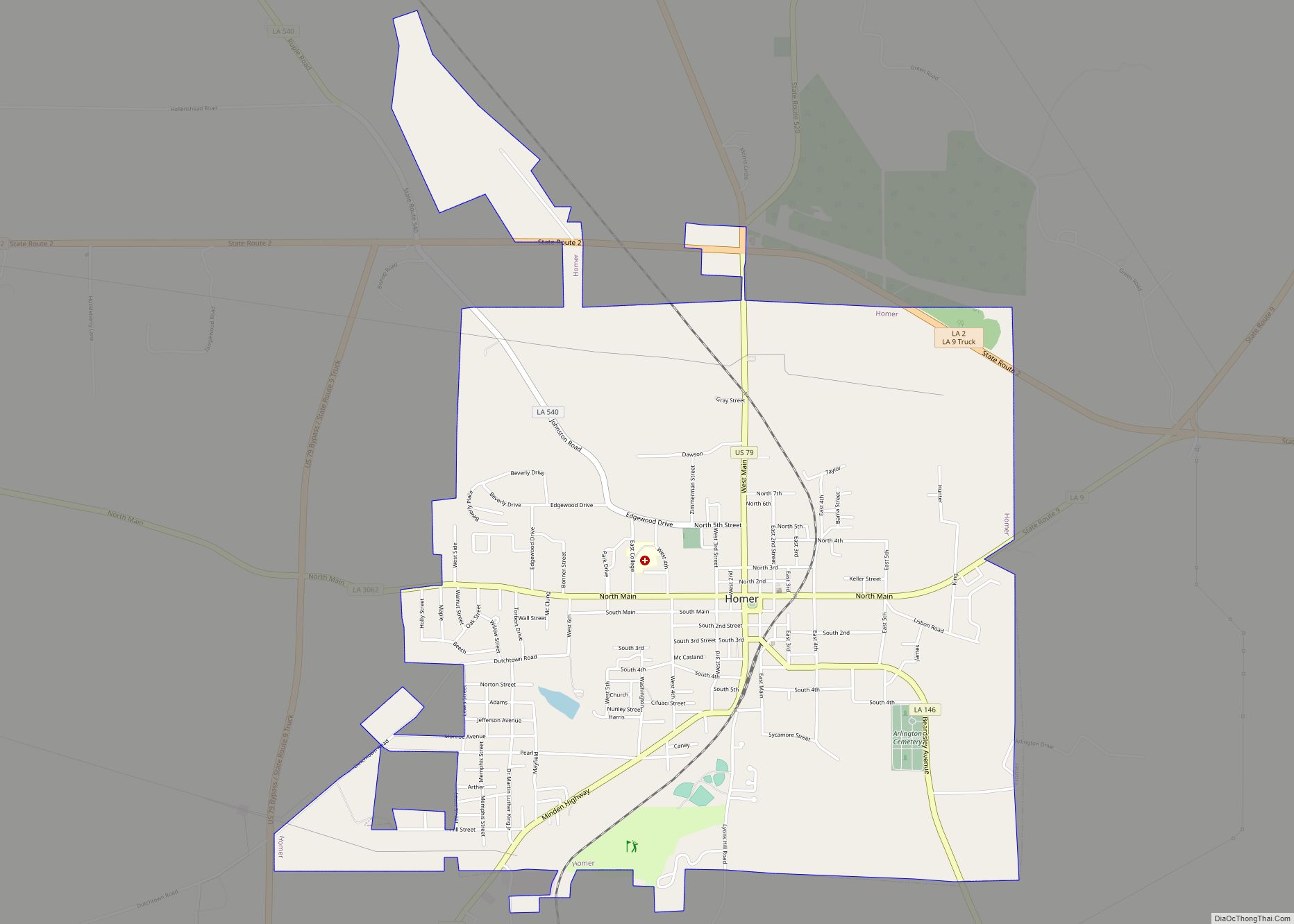
Homer is a town in and the parish seat of Claiborne Parish in northern Louisiana, United States. Named for the Greek poet Homer, the town was laid out around the Courthouse Square in 1850 by Frank Vaughn. The present-day brick courthouse, built in the Greek Revival style of architecture, is one of only four pre-Civil ... Read more
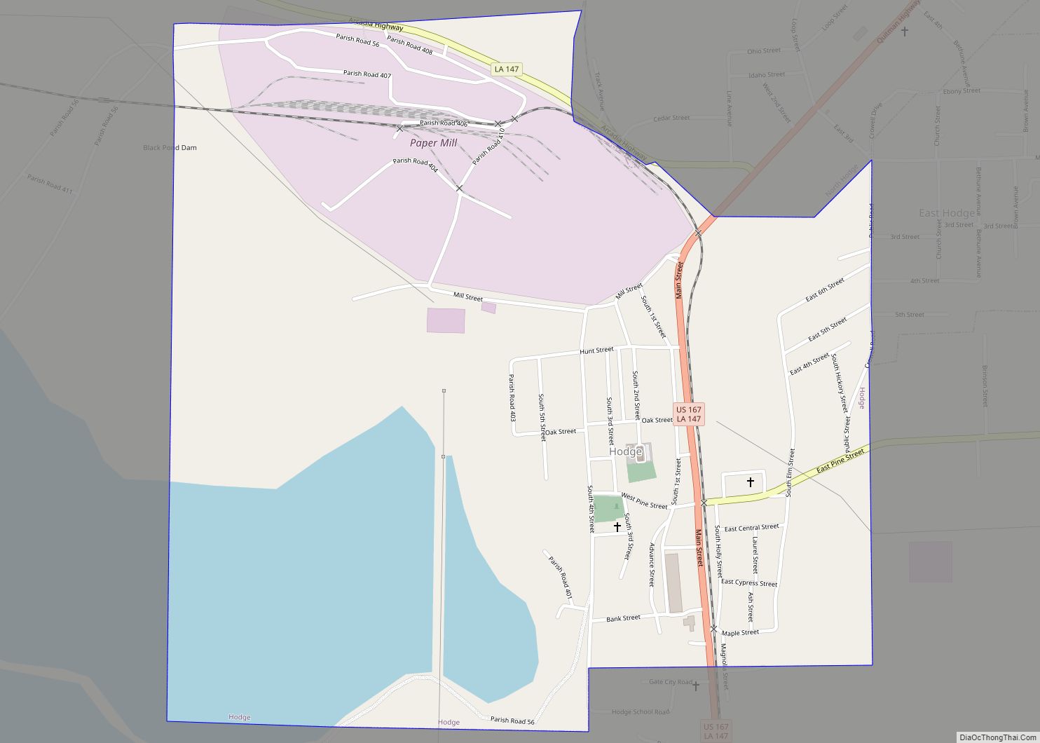
Hodge is a village in Jackson Parish, Louisiana, United States. The population was 470 at the 2010 census. It is part of the Ruston Micropolitan Statistical Area. Hodge village overview: Name: Hodge village LSAD Code: 47 LSAD Description: village (suffix) State: Louisiana County: Jackson Parish Elevation: 190 ft (60 m) Total Area: 1.37 sq mi (3.55 km²) Land Area: 0.97 sq mi ... Read more
