Harrisonburg is a village in and the parish seat of Catahoula Parish, Louisiana, United States. The population was 348 as of the 2010 census, down from 746 in 2000.
Riley J. Wilson, who held Louisiana’s 5th congressional district seat from 1915 to 1937, resided in Harrisonburg, where he was principal of Harrisonburg High School and then an attorney, district attorney, and state district court judge prior to his election to Congress.
| Name: | Harrisonburg village |
|---|---|
| LSAD Code: | 47 |
| LSAD Description: | village (suffix) |
| State: | Louisiana |
| County: | Catahoula Parish |
| Elevation: | 79 ft (24 m) |
| Total Area: | 1.05 sq mi (2.73 km²) |
| Land Area: | 0.97 sq mi (2.51 km²) |
| Water Area: | 0.09 sq mi (0.22 km²) |
| Total Population: | 277 |
| Population Density: | 286.16/sq mi (110.44/km²) |
| ZIP code: | 71340 |
| Area code: | 318 |
| FIPS code: | 2233210 |
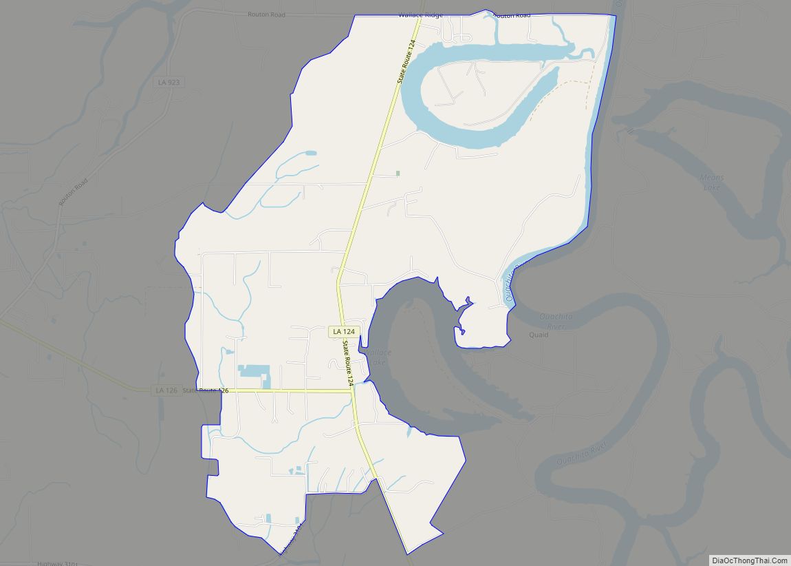
Online Interactive Map
Click on ![]() to view map in "full screen" mode.
to view map in "full screen" mode.
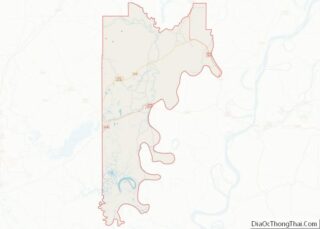
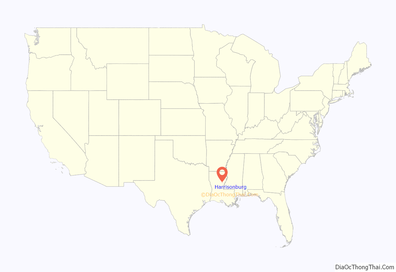
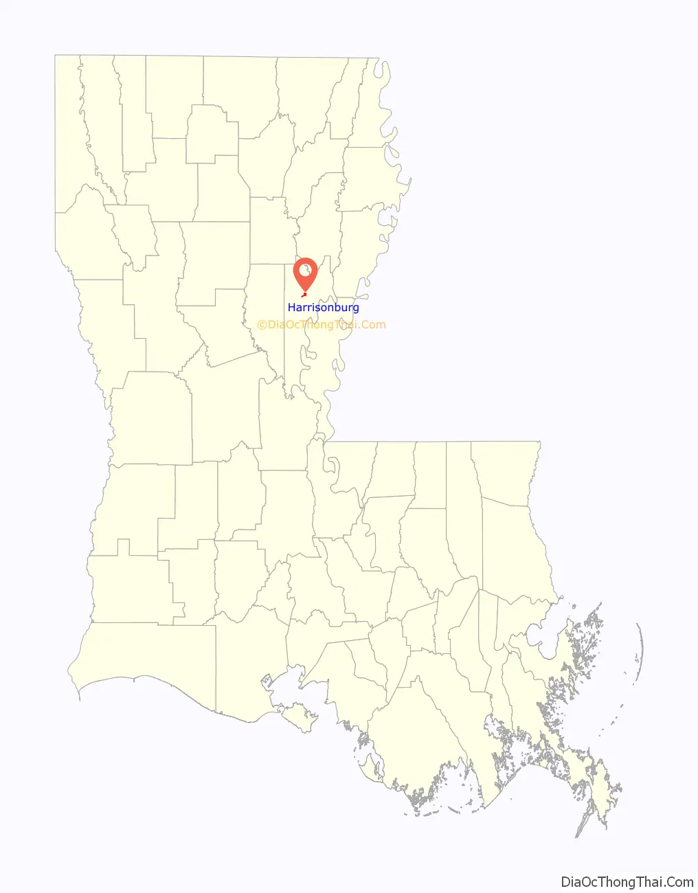
Harrisonburg location map. Where is Harrisonburg village?
History
Harrisonburg was named for the Harrison family of Virginia.
Fort Beauregard, located on a bluff in the northern corner of the village, was a Confederate stronghold during the American Civil War. In 1863, the fort successfully defended Harrisonburg from the attack of four Union gunboats coming from the Black River to the Ouachita River. After four days of bombardment, little damage was done, and the gunboats retired down river. Harrisonburg and fort were evacuated before Brig. General Crocker’s considerable naval and army forces arrived on September 4, 1863. The Confederates lost eight significant artillery pieces although two large 32 pound cannons were preserved. On March 1 through the 4, 1864 the town was again attacked by Union gunboats, but the falling river level prevented the advance on Monroe.
The village of Harrisonburg formerly staged reenactments at Fort Beauregard, also known as Fort Hill, but those ceremonies ended in the late 20th century. These reenactments were brought back to life for 2015, but halted in 2016, still planned for future years to come.
Harrisonburg was once a trade capital because of its location on the Ouachita River, with easy access to the Mississippi River and New Orleans. The Harrisonburg Road ran through the area as it crossed Louisiana between Mississippi‘s Natchez Trace and Texas‘ El Camino Real.
Harrisonburg was considered for the new site of the Louisiana state capital when the legislature decided to move it from New Orleans after the Civil War.
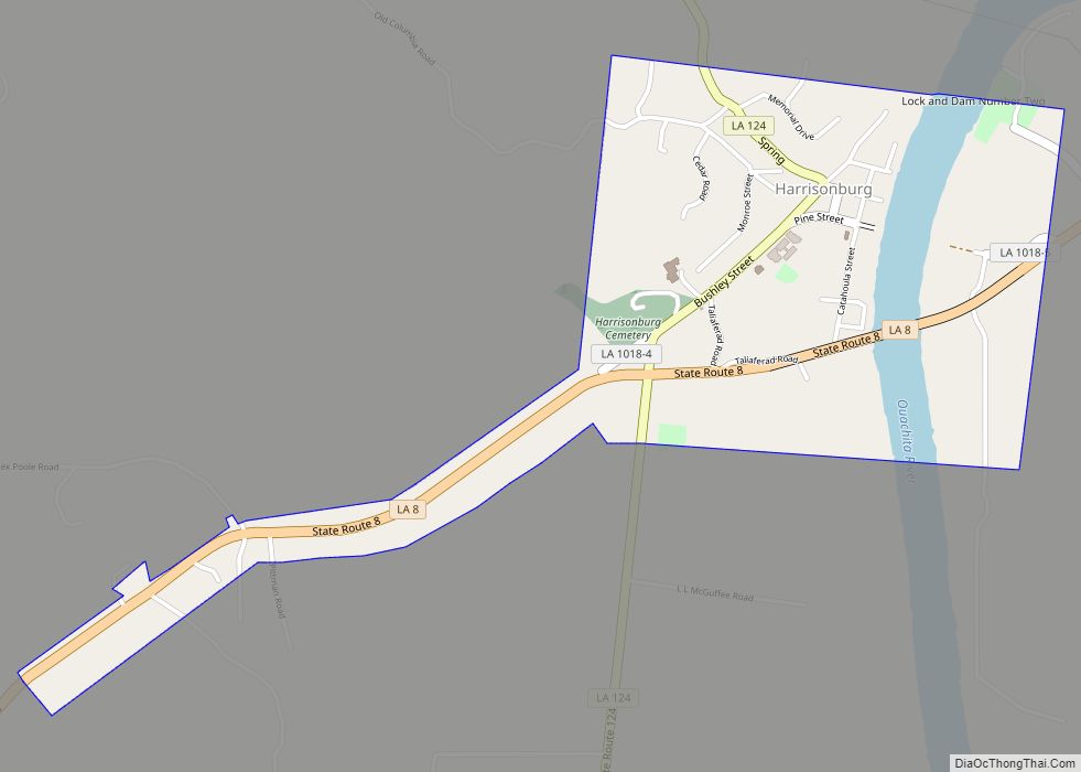
Harrisonburg Road Map
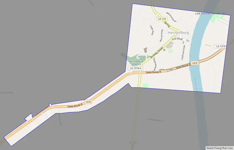
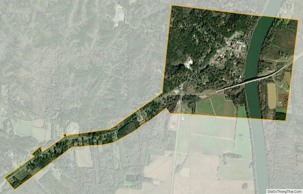
Harrisonburg city Satellite Map
Geography
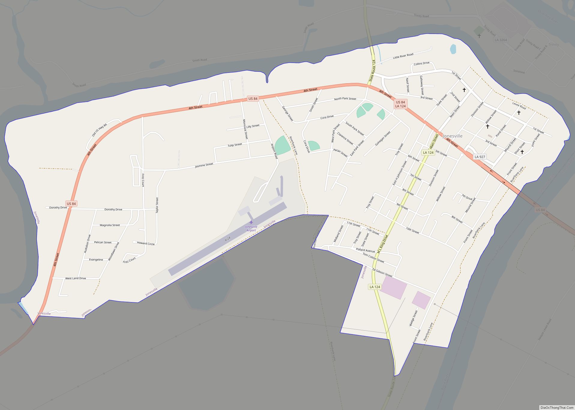
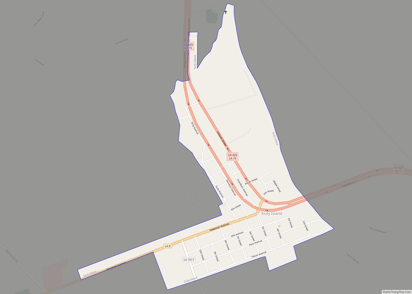
Harrisonburg is located in northern Catahoula Parish at 31°46′20″N 91°49′39″W / 31.77222°N 91.82750°W / 31.77222; -91.82750 (31.772177, -91.827403), on the west bank of the Ouachita River. Louisiana State Highway 8 passes through the village, leading northeast across the Ouachita to Sicily Island, and southwest 18 miles (29 km) to U.S. Route 84 near Catahoula Lake. Jonesville, the largest town in Catahoula Parish, is 10 miles (16 km) south of Harrisonburg via Highway 124.
According to the United States Census Bureau, Harrisonburg has a total area of 1.0 square mile (2.7 km), of which 0.97 square miles (2.5 km) is land and 0.077 square miles (0.2 km), or 8.07%, is water.
See also
Map of Louisiana State and its subdivision:- Acadia
- Allen
- Ascension
- Assumption
- Avoyelles
- Beauregard
- Bienville
- Bossier
- Caddo
- Calcasieu
- Caldwell
- Cameron
- Catahoula
- Claiborne
- Concordia
- De Soto
- East Baton Rouge
- East Carroll
- East Feliciana
- Evangeline
- Franklin
- Grant
- Iberia
- Iberville
- Jackson
- Jefferson
- Jefferson Davis
- La Salle
- Lafayette
- Lafourche
- Lincoln
- Livingston
- Madison
- Morehouse
- Natchitoches
- Orleans
- Ouachita
- Plaquemines
- Pointe Coupee
- Rapides
- Red River
- Richland
- Sabine
- Saint Bernard
- Saint Charles
- Saint Helena
- Saint James
- Saint John the Baptist
- Saint Landry
- Saint Martin
- Saint Mary
- Saint Tammany
- Tangipahoa
- Tensas
- Terrebonne
- Union
- Vermilion
- Vernon
- Washington
- Webster
- West Baton Rouge
- West Carroll
- West Feliciana
- Winn
- Alabama
- Alaska
- Arizona
- Arkansas
- California
- Colorado
- Connecticut
- Delaware
- District of Columbia
- Florida
- Georgia
- Hawaii
- Idaho
- Illinois
- Indiana
- Iowa
- Kansas
- Kentucky
- Louisiana
- Maine
- Maryland
- Massachusetts
- Michigan
- Minnesota
- Mississippi
- Missouri
- Montana
- Nebraska
- Nevada
- New Hampshire
- New Jersey
- New Mexico
- New York
- North Carolina
- North Dakota
- Ohio
- Oklahoma
- Oregon
- Pennsylvania
- Rhode Island
- South Carolina
- South Dakota
- Tennessee
- Texas
- Utah
- Vermont
- Virginia
- Washington
- West Virginia
- Wisconsin
- Wyoming