Harvey is a census-designated place (CDP) in Jefferson Parish, Louisiana, United States. Harvey is on the south side (referred to as the “West Bank”) of the Mississippi River, within the New Orleans–Metairie–Kenner metropolitan statistical area. The majority-minority population was 20,348 at the 2010 census, down from 22,226 at the 2000 census. The 2020 census determined 22,236 people lived in the CDP.
| Name: | Harvey CDP |
|---|---|
| LSAD Code: | 57 |
| LSAD Description: | CDP (suffix) |
| State: | Louisiana |
| County: | Jefferson Parish |
| Elevation: | 3 ft (0.9 m) |
| Total Area: | 6.99 sq mi (18.10 km²) |
| Land Area: | 6.49 sq mi (16.80 km²) |
| Water Area: | 0.50 sq mi (1.30 km²) |
| Total Population: | 22,236 |
| Population Density: | 3,427.78/sq mi (1,323.55/km²) |
| ZIP code: | 70058 |
| Area code: | 504 |
| FIPS code: | 2233245 |
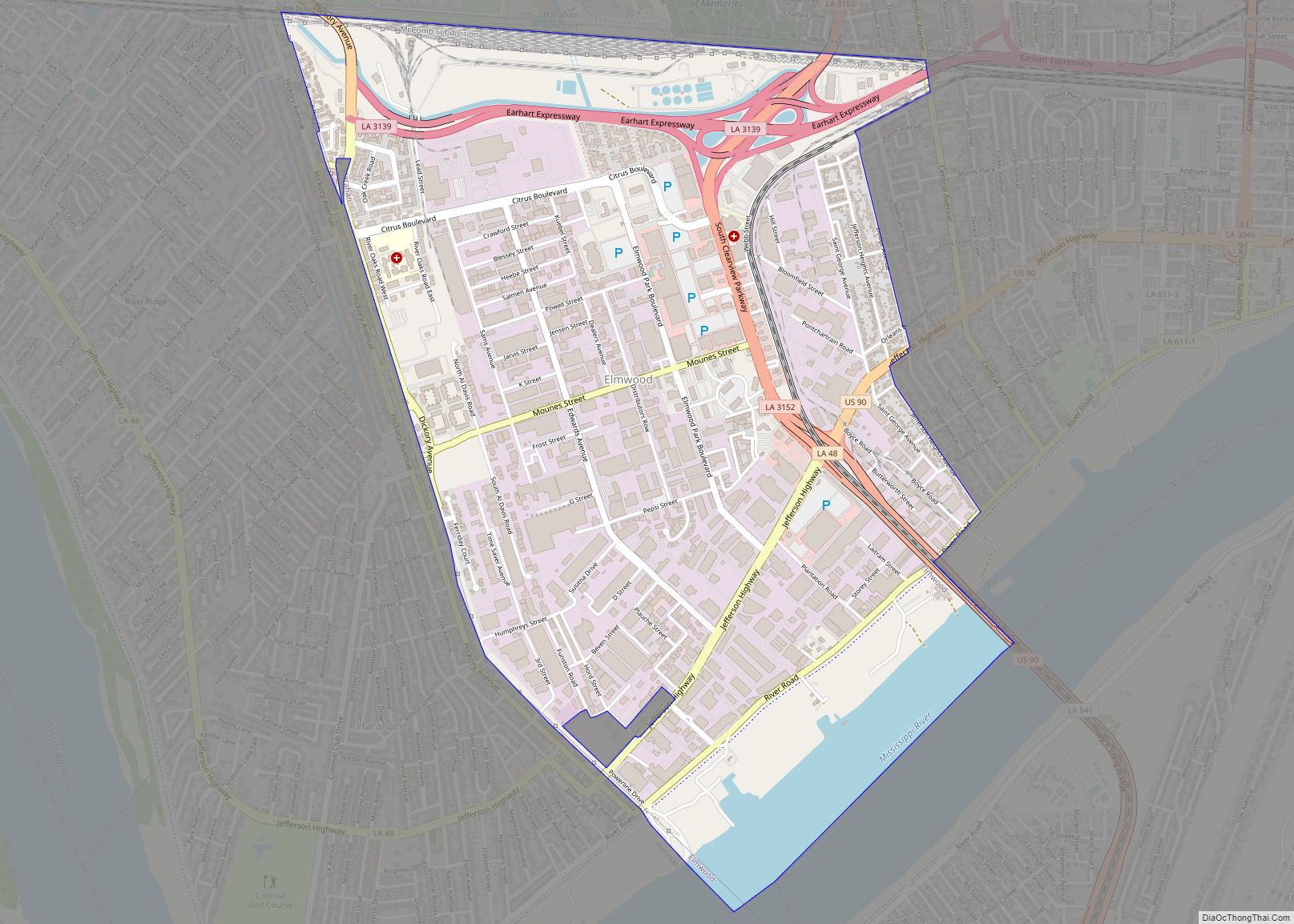
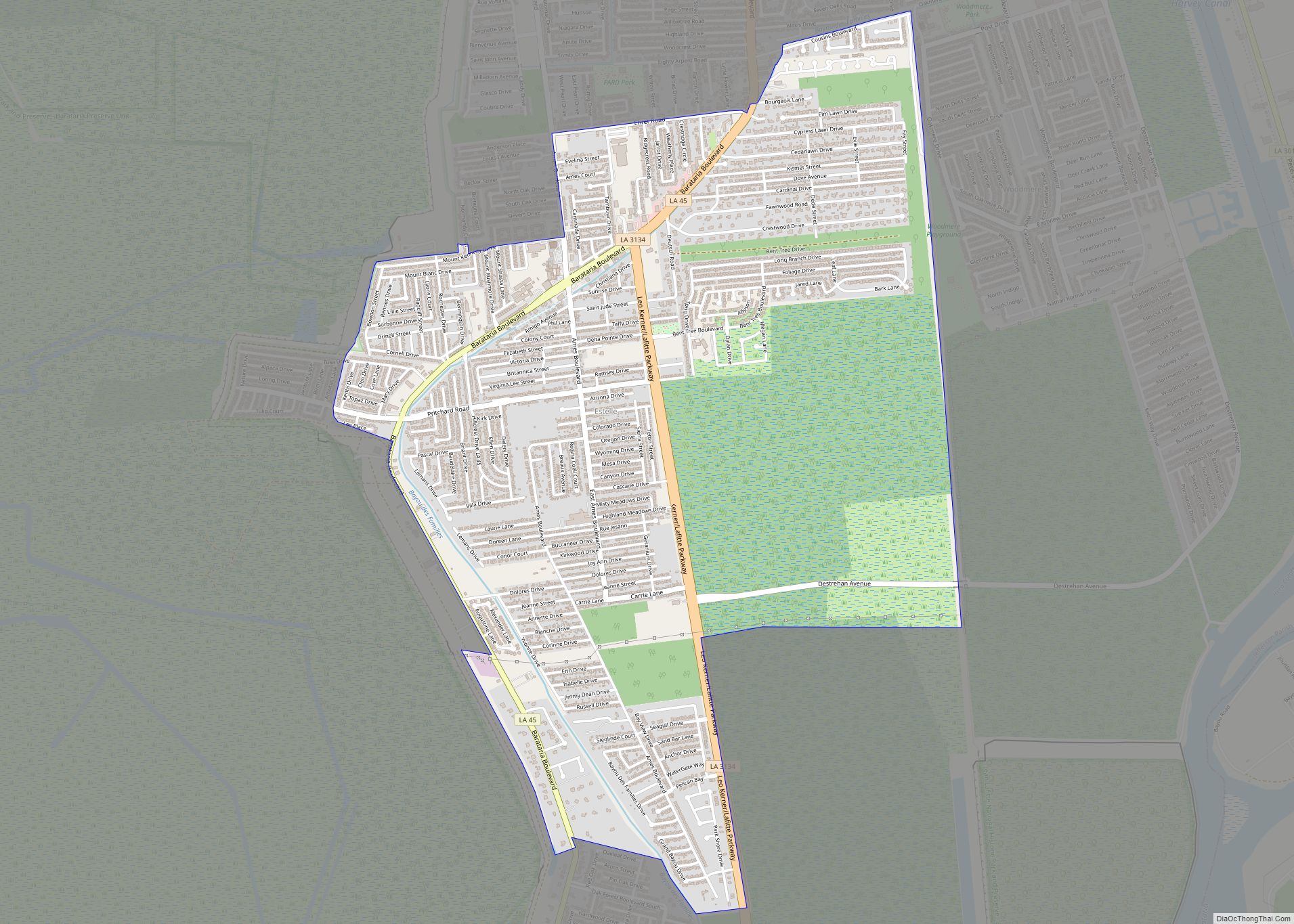
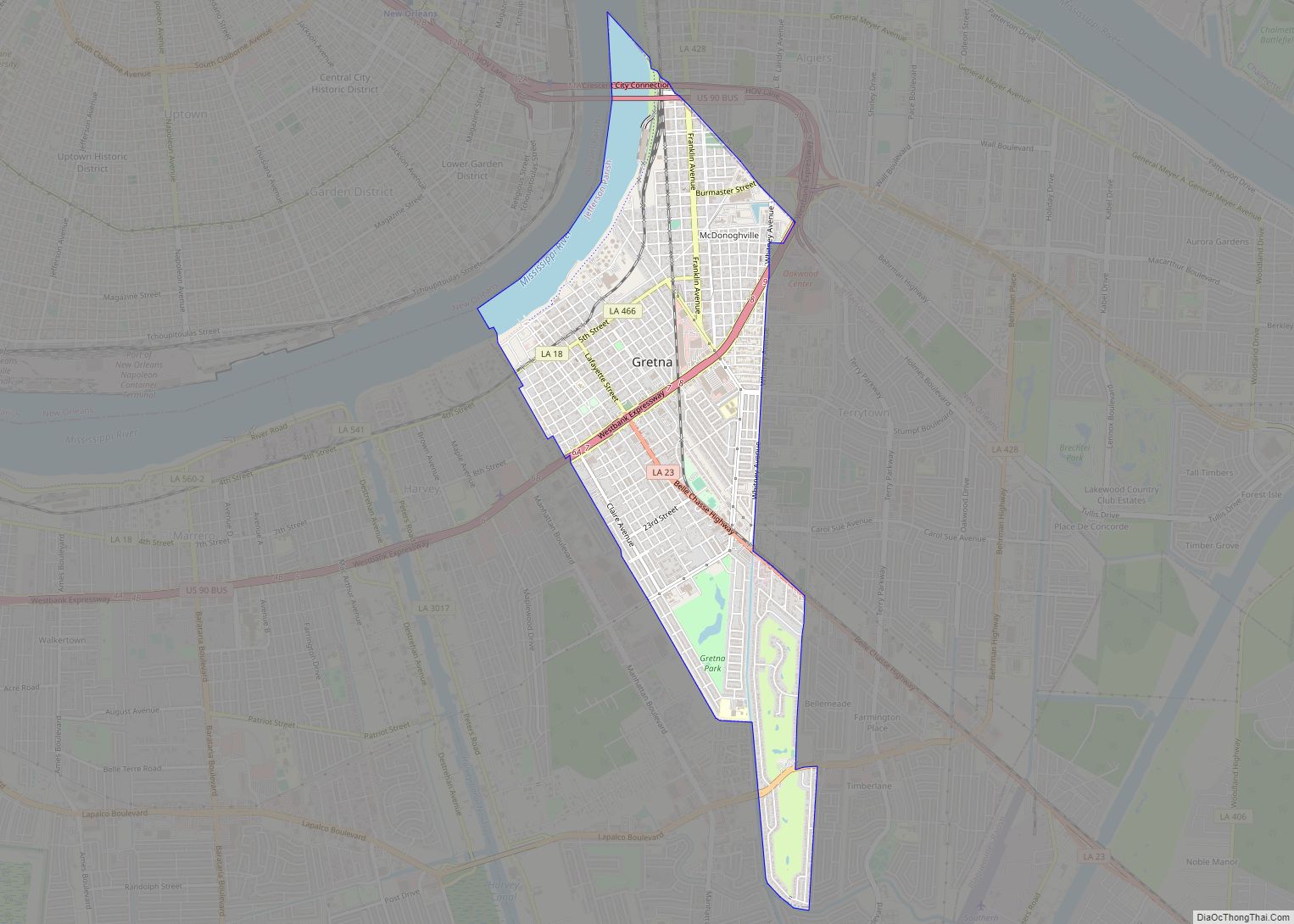
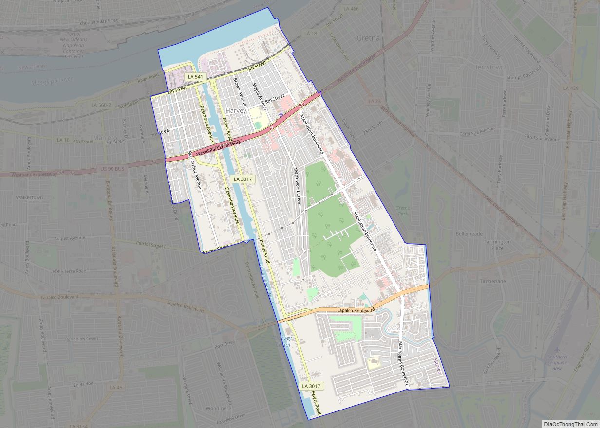
Online Interactive Map
Click on ![]() to view map in "full screen" mode.
to view map in "full screen" mode.
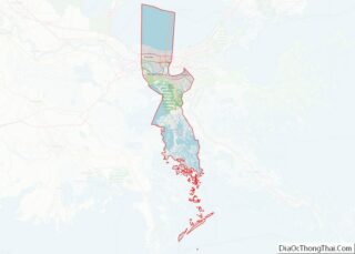
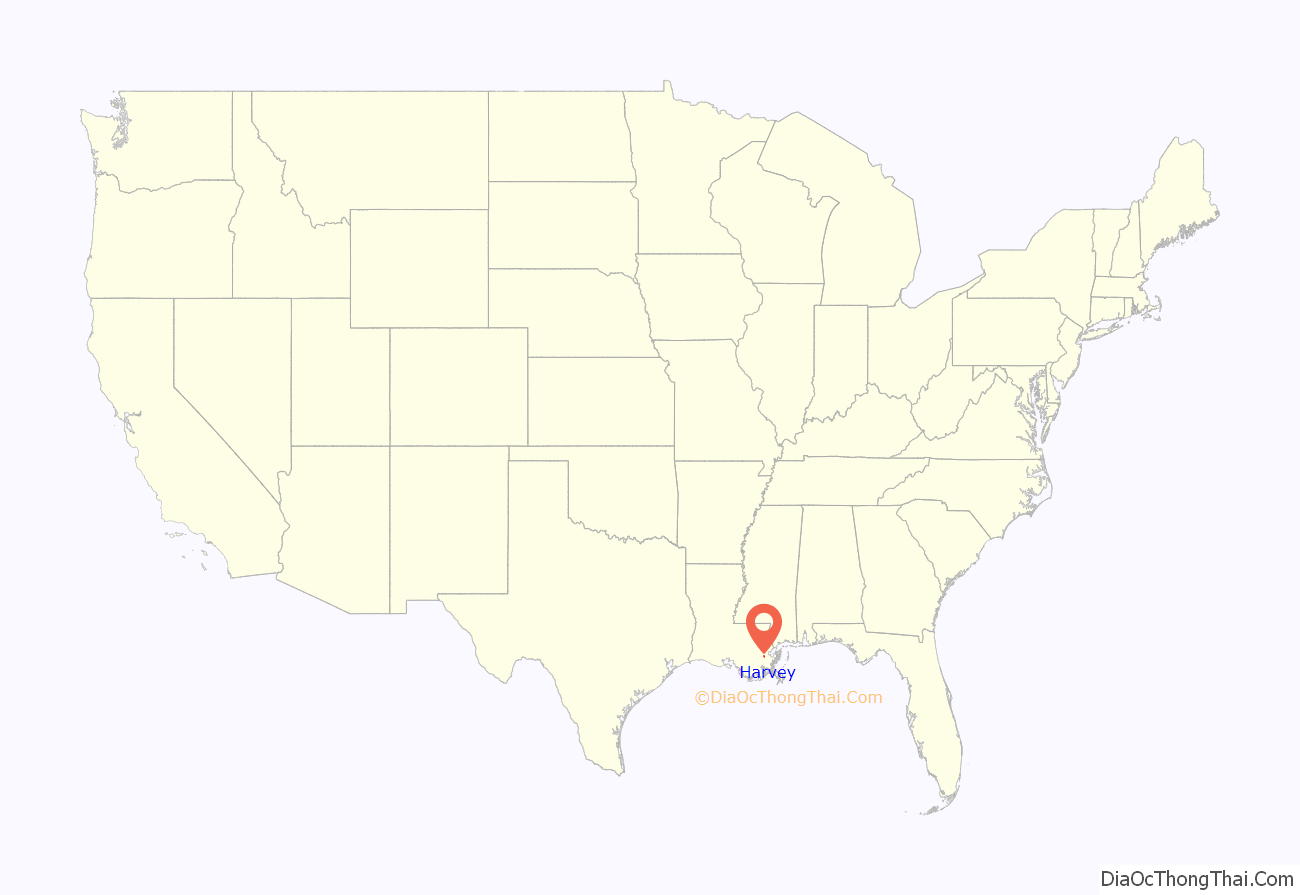
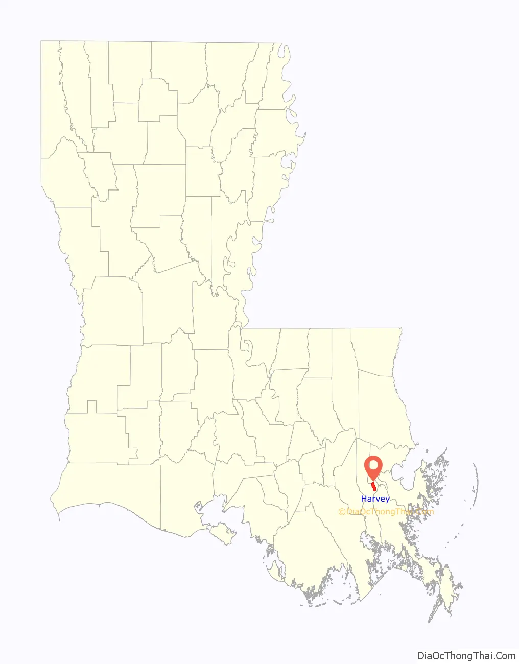
Harvey location map. Where is Harvey CDP?
History
During the French colonial era, the first owner of this land was Jean-Baptiste d’Estrehan de Beaupre, royal treasurer and comptroller for the French Louisiana colony. He established a plantation here. He used his slaves to dig the ditch that would become the Harvey Canal, cutting south from the banks of the Mississippi River to the back of Bayou Barataria, to provide better access.
Years later, d’Estrehan paid German settlers in the area to work on widening the ditch; they used wooden shovels. He paid them with small parcels of land located downriver in Mechanicsham, now the city of Gretna. D’Estrehan built his home where the ditch met the river banks, naming the settlement “Cosmopolite City”.
Harvey was founded as a company town at its founding, developed by Joseph Hale Harvey (born March 7, 1816). During this time, Joseph Harvey would rename Cosmopolite City after his family surname. Harvey’s wife, née Louise Destrehan, was a great-granddaughter of Jean Baptiste d’Estrehan. She was the daughter of Nicolas Noel d’Estrehan and granddaughter of Jean Noel Destréhan.
Harvey and Destrehan initiated construction of the canal locks leading to the Mississippi. Their son, Horace Harvey (c. 1860-1938), carried on development of the canal and its surroundings.
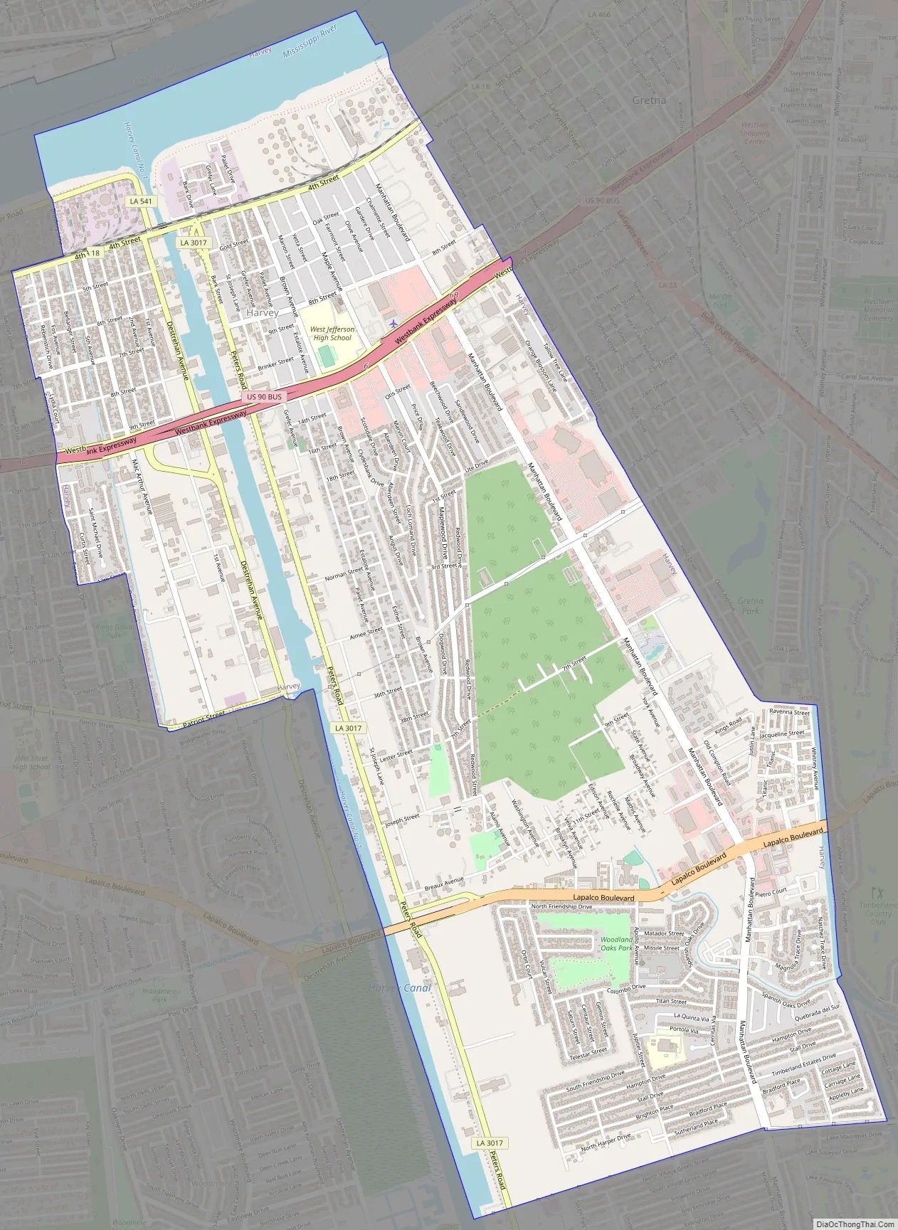
Harvey Road Map
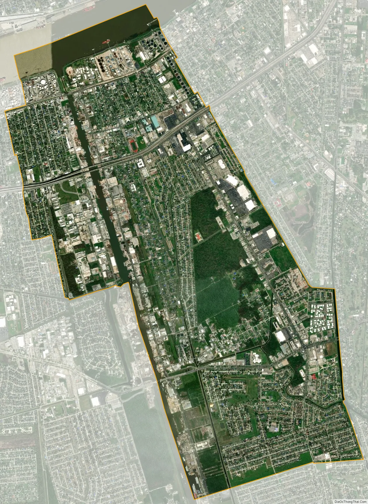
Harvey city Satellite Map
Geography
Harvey is located east of the Intracoastal Canal on the Mississippi River, at coordinates 29°53′28″N 90°04′09″W / 29.89111°N 90.06917°W / 29.89111; -90.06917. It is bordered to the east by Gretna, to the west by Marrero, to the southwest by Woodmere, and to the north, across the Mississippi, by New Orleans. The closest highway crossing of the river is the Crescent City Connection 4 miles (6 km) northeast of Harvey.
According to the United States Census Bureau, the Harvey CDP has a total area of 7.1 square miles (18.3 km), of which 6.6 sq mi (17.0 km) are land and 0.5 sq mi (1.3 km), or 7.16%, are water.
See also
Map of Louisiana State and its subdivision:- Acadia
- Allen
- Ascension
- Assumption
- Avoyelles
- Beauregard
- Bienville
- Bossier
- Caddo
- Calcasieu
- Caldwell
- Cameron
- Catahoula
- Claiborne
- Concordia
- De Soto
- East Baton Rouge
- East Carroll
- East Feliciana
- Evangeline
- Franklin
- Grant
- Iberia
- Iberville
- Jackson
- Jefferson
- Jefferson Davis
- La Salle
- Lafayette
- Lafourche
- Lincoln
- Livingston
- Madison
- Morehouse
- Natchitoches
- Orleans
- Ouachita
- Plaquemines
- Pointe Coupee
- Rapides
- Red River
- Richland
- Sabine
- Saint Bernard
- Saint Charles
- Saint Helena
- Saint James
- Saint John the Baptist
- Saint Landry
- Saint Martin
- Saint Mary
- Saint Tammany
- Tangipahoa
- Tensas
- Terrebonne
- Union
- Vermilion
- Vernon
- Washington
- Webster
- West Baton Rouge
- West Carroll
- West Feliciana
- Winn
- Alabama
- Alaska
- Arizona
- Arkansas
- California
- Colorado
- Connecticut
- Delaware
- District of Columbia
- Florida
- Georgia
- Hawaii
- Idaho
- Illinois
- Indiana
- Iowa
- Kansas
- Kentucky
- Louisiana
- Maine
- Maryland
- Massachusetts
- Michigan
- Minnesota
- Mississippi
- Missouri
- Montana
- Nebraska
- Nevada
- New Hampshire
- New Jersey
- New Mexico
- New York
- North Carolina
- North Dakota
- Ohio
- Oklahoma
- Oregon
- Pennsylvania
- Rhode Island
- South Carolina
- South Dakota
- Tennessee
- Texas
- Utah
- Vermont
- Virginia
- Washington
- West Virginia
- Wisconsin
- Wyoming