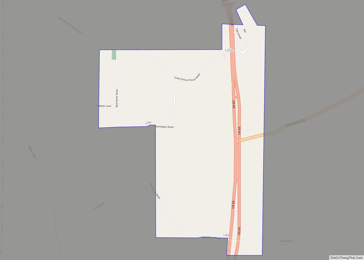
Lillie is a village in Union Parish, Louisiana, United States. The population was 118 at the 2010 census, a decrease from 139 in 2000. It is part of the Monroe Metropolitan Statistical Area. According to a 2007 report, Lillie was named one of the 10 worst speed traps in the state of Louisiana. Lillie made ... Read more
Louisiana Cities and Places
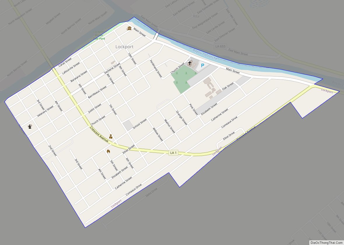
Lockport is a town on Bayou Lafourche in Lafourche Parish, Louisiana, United States. The population was 2,490 in 2020. It is part of the Houma–Bayou Cane–Thibodaux metropolitan statistical area. Lockport town overview: Name: Lockport town LSAD Code: 43 LSAD Description: town (suffix) State: Louisiana County: Lafourche Parish Elevation: 10 ft (3 m) Total Area: 1.15 sq mi (2.98 km²) Land ... Read more
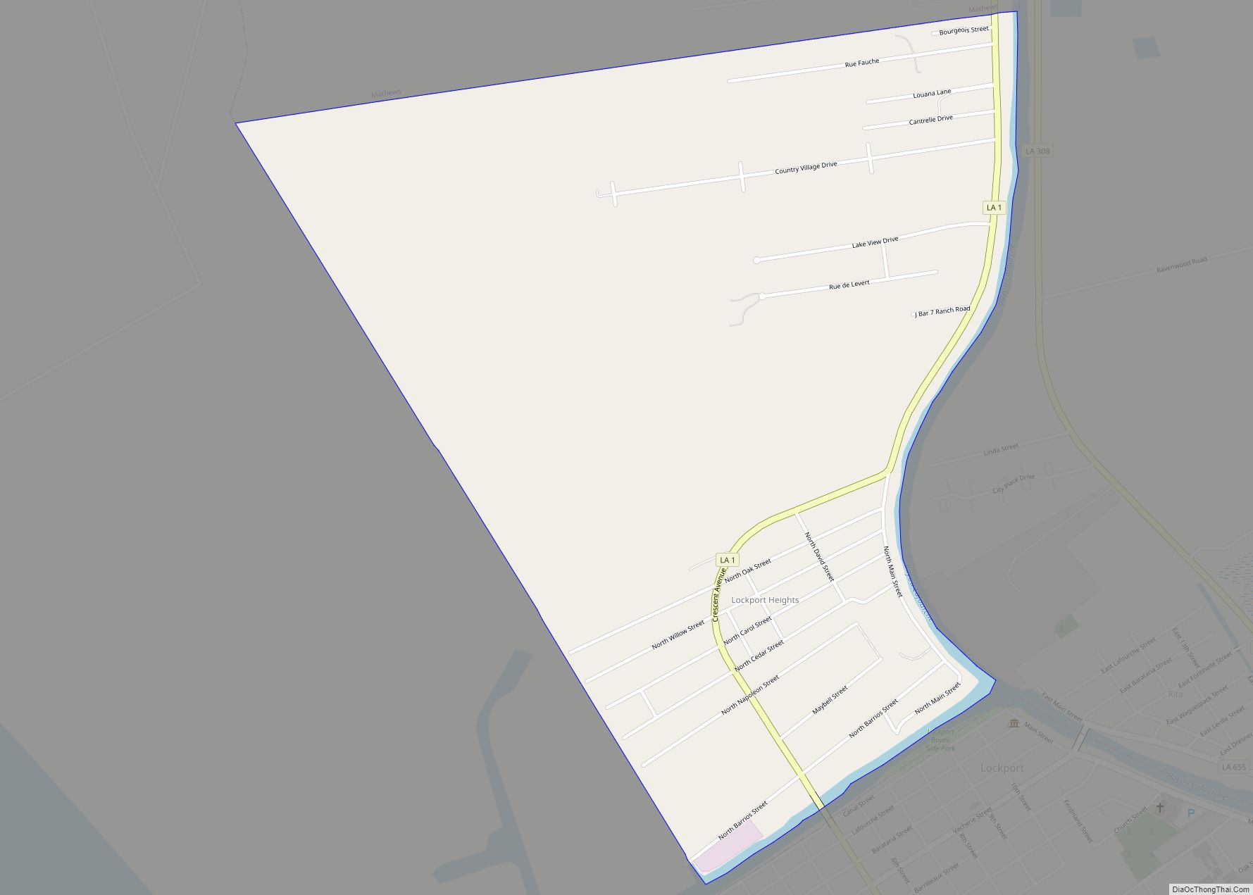
Lockport Heights is an unincorporated community and census-designated place in Lafourche Parish, Louisiana, United States. Its population was 1,286 as of the 2010 census. Louisiana Highway 1 passes through the community. Lockport Heights CDP overview: Name: Lockport Heights CDP LSAD Code: 57 LSAD Description: CDP (suffix) State: Louisiana County: Lafourche Parish Elevation: 3 ft (0.9 m) Total ... Read more
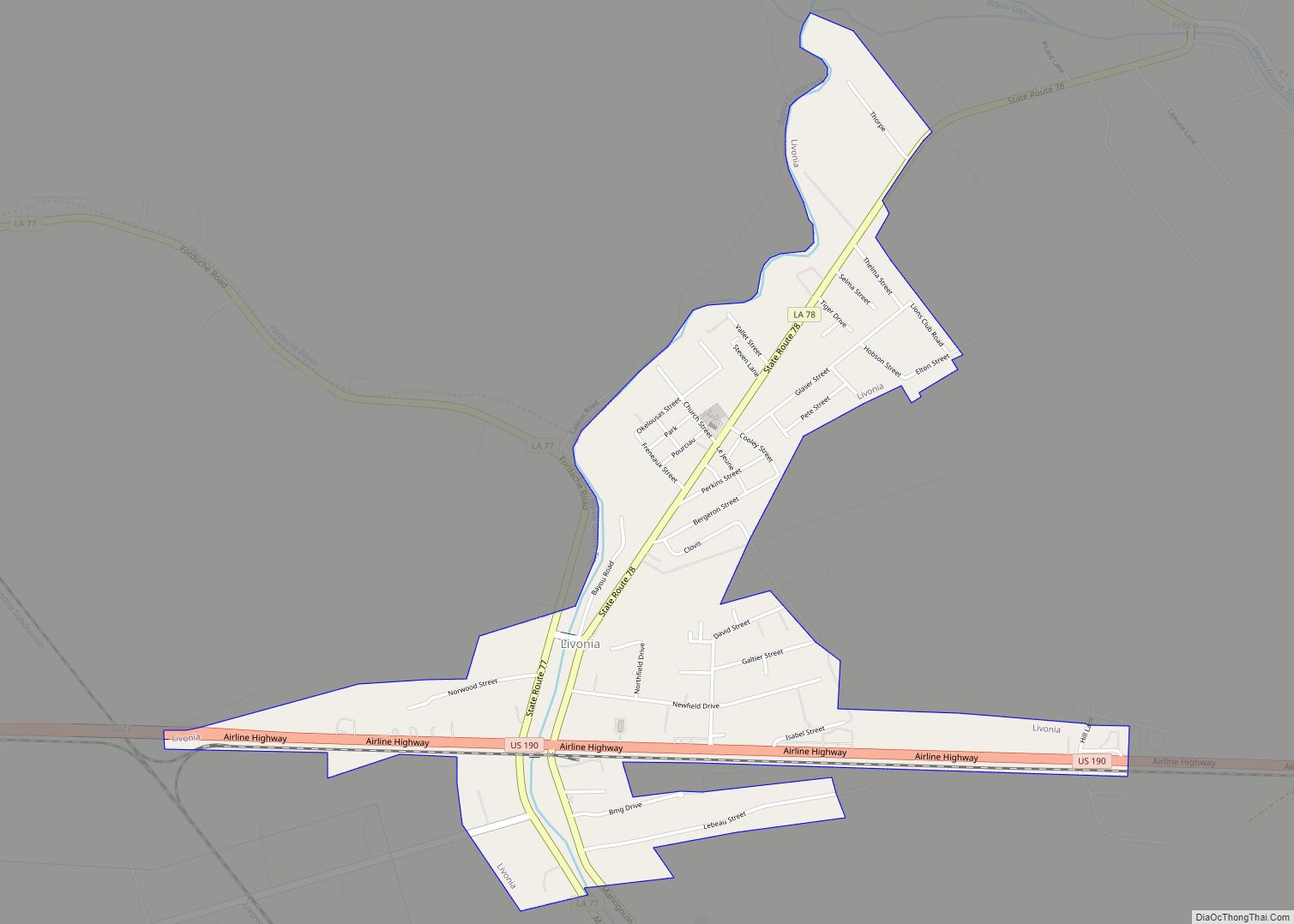
Livonia (pronounced Le Vone ya) is a town in Pointe Coupee Parish, Louisiana, United States. The population was 1,442 at the 2010 census, up from 1,339 in 2000. It is part of the Baton Rouge Metropolitan Statistical Area. According to a 2007 Louisiana Legislative report, Livonia derived 41.18% of its revenue, an average of roughly ... Read more
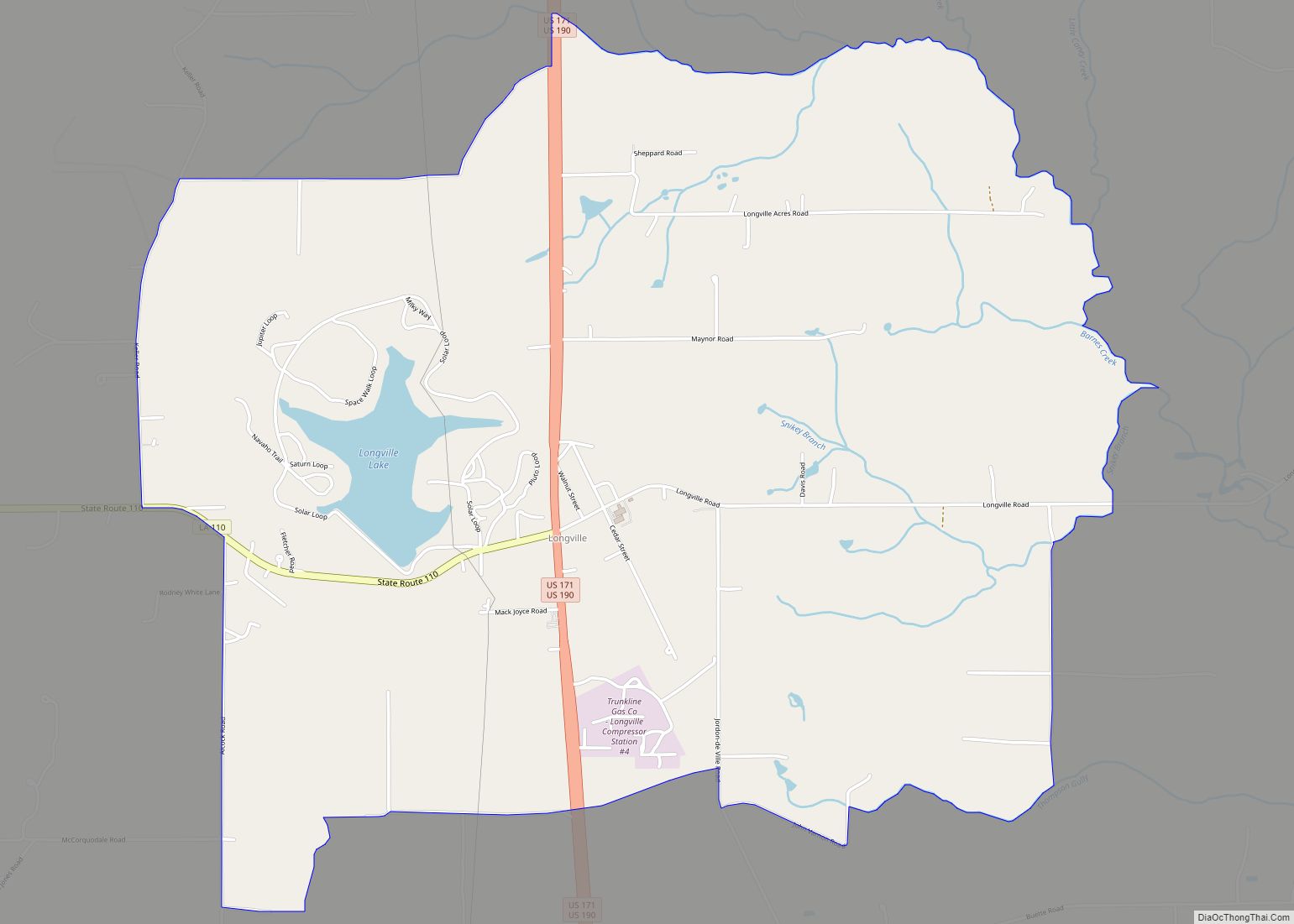
Longville is a census-designated place in Beauregard Parish, Louisiana, United States. As of the 2010 census, its population is 635. Longville has four schools: South Beauregard Lower Elementary, South Beauregard Upper Elementary, South Beauregard Junior High, and South Beauregard High School, which are all on one campus. Longville CDP overview: Name: Longville CDP LSAD Code: ... Read more
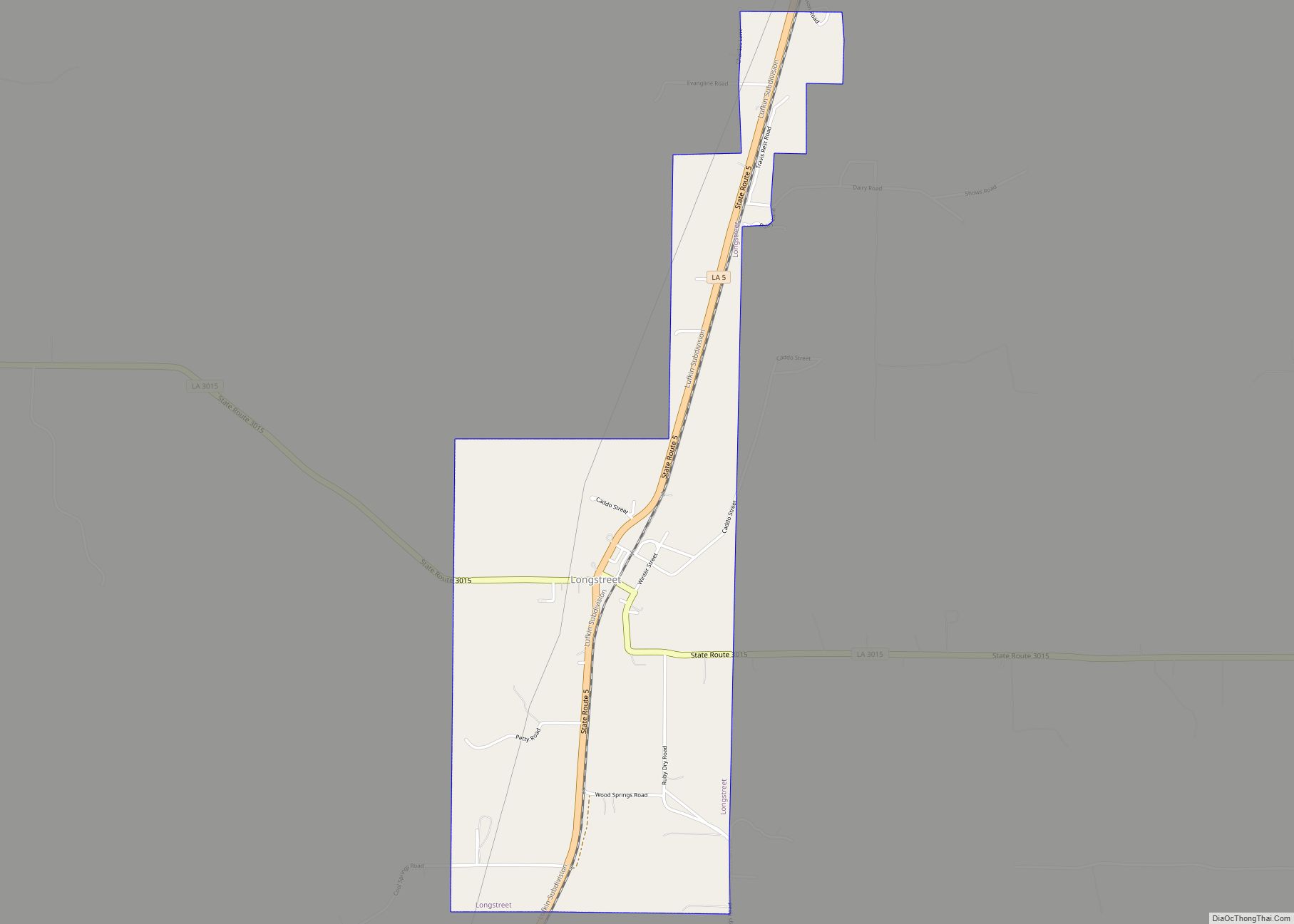
Longstreet is a village in DeSoto Parish, Louisiana, United States. The population was 157 at the 2010 census. It is part of the Shreveport–Bossier City Metropolitan Statistical Area. Longstreet is named for Confederate General James Longstreet. Longstreet village overview: Name: Longstreet village LSAD Code: 47 LSAD Description: village (suffix) State: Louisiana County: De Soto Parish ... Read more
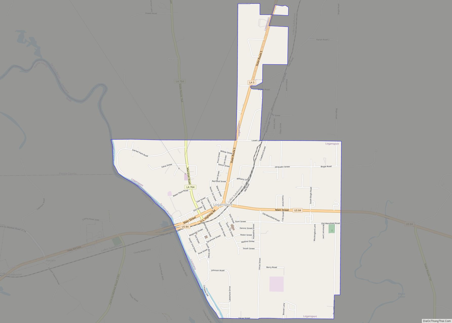
Logansport is a town in western DeSoto Parish adjacent to the Sabine River in western Louisiana, United States. The population was 1,340 in 2020. It is part of the Shreveport–Bossier City metropolitan statistical area. Logansport town overview: Name: Logansport town LSAD Code: 43 LSAD Description: town (suffix) State: Louisiana County: De Soto Parish Elevation: 213 ft ... Read more
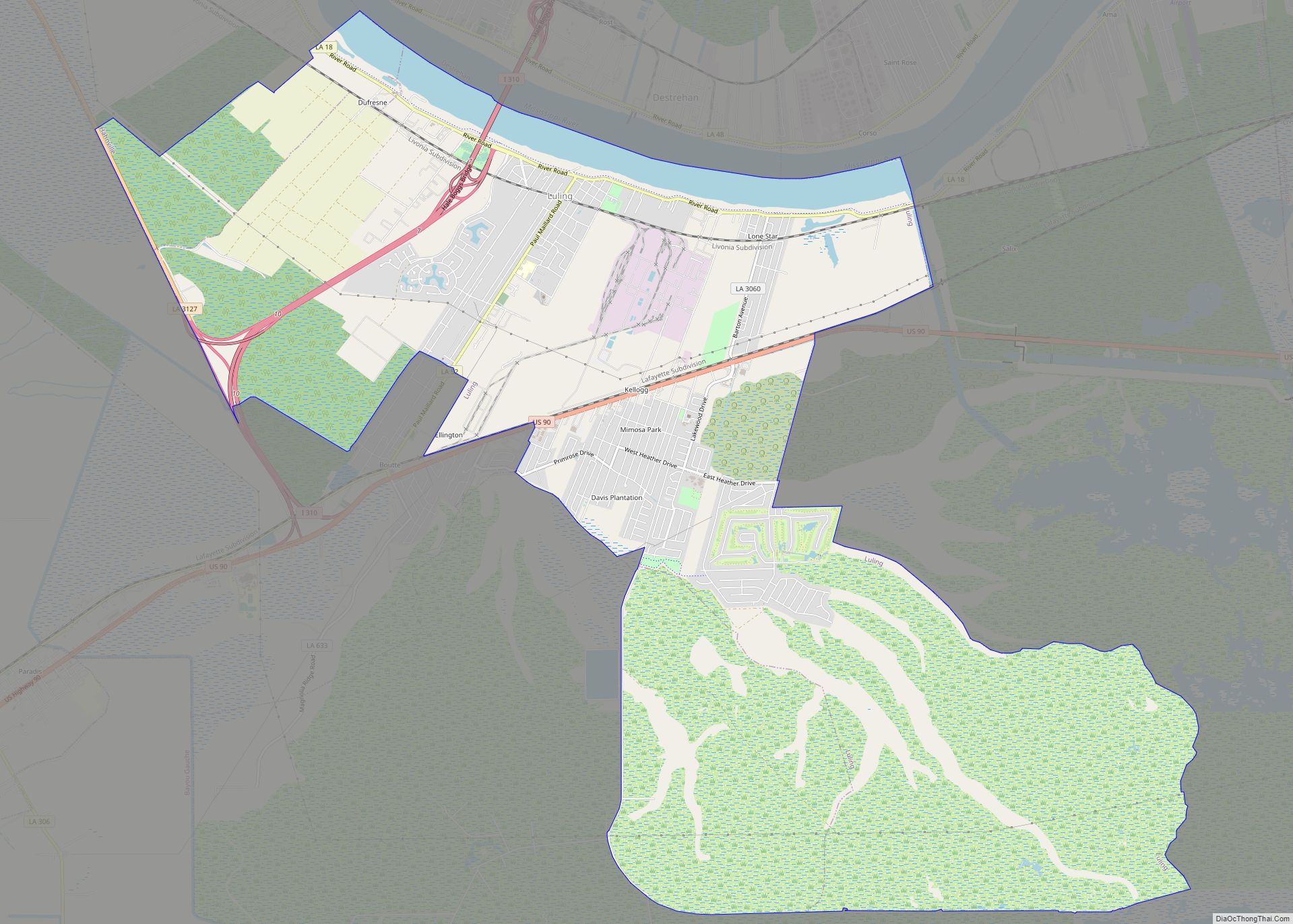
Luling is a census-designated place (CDP) in St. Charles Parish, Louisiana. The population was 11,512 at the 2000 census and 12,119 at the 2010 census. At the 2020 census, 13,716 people lived in Luling. Luling CDP overview: Name: Luling CDP LSAD Code: 57 LSAD Description: CDP (suffix) State: Louisiana County: St. Charles Parish Elevation: 7 ft ... Read more
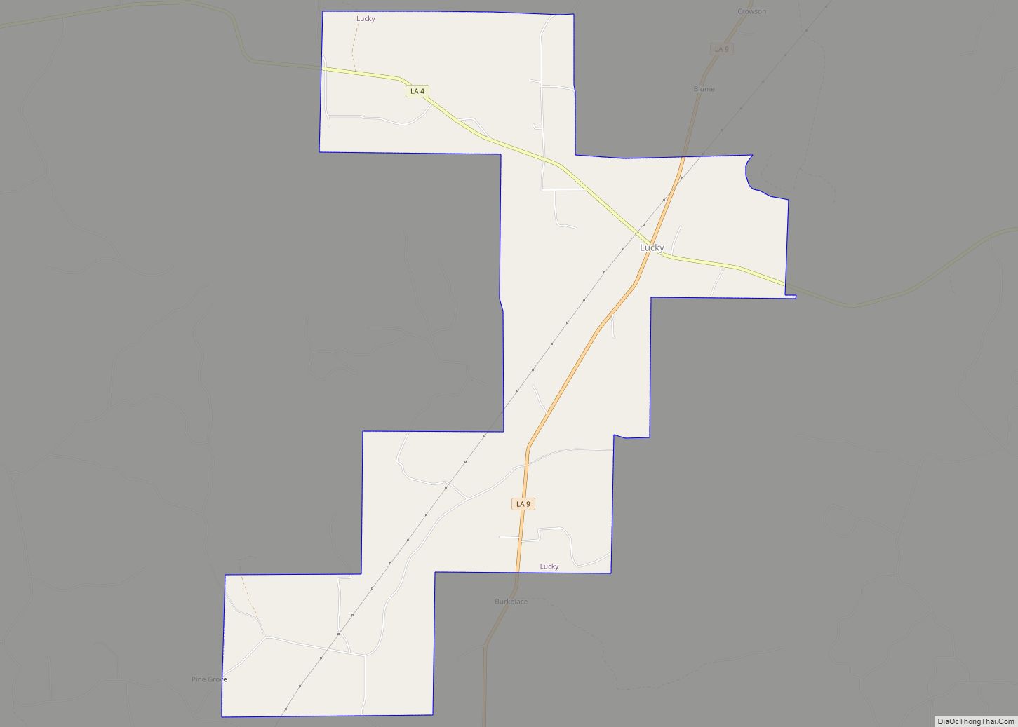
Lucky is a village in Bienville Parish, Louisiana, United States. The population was 272 at the 2010 census. Lucky village overview: Name: Lucky village LSAD Code: 47 LSAD Description: village (suffix) State: Louisiana County: Bienville Parish Elevation: 259 ft (79 m) Total Area: 8.19 sq mi (21.21 km²) Land Area: 8.17 sq mi (21.16 km²) Water Area: 0.02 sq mi (0.05 km²) Total Population: 251 Population ... Read more
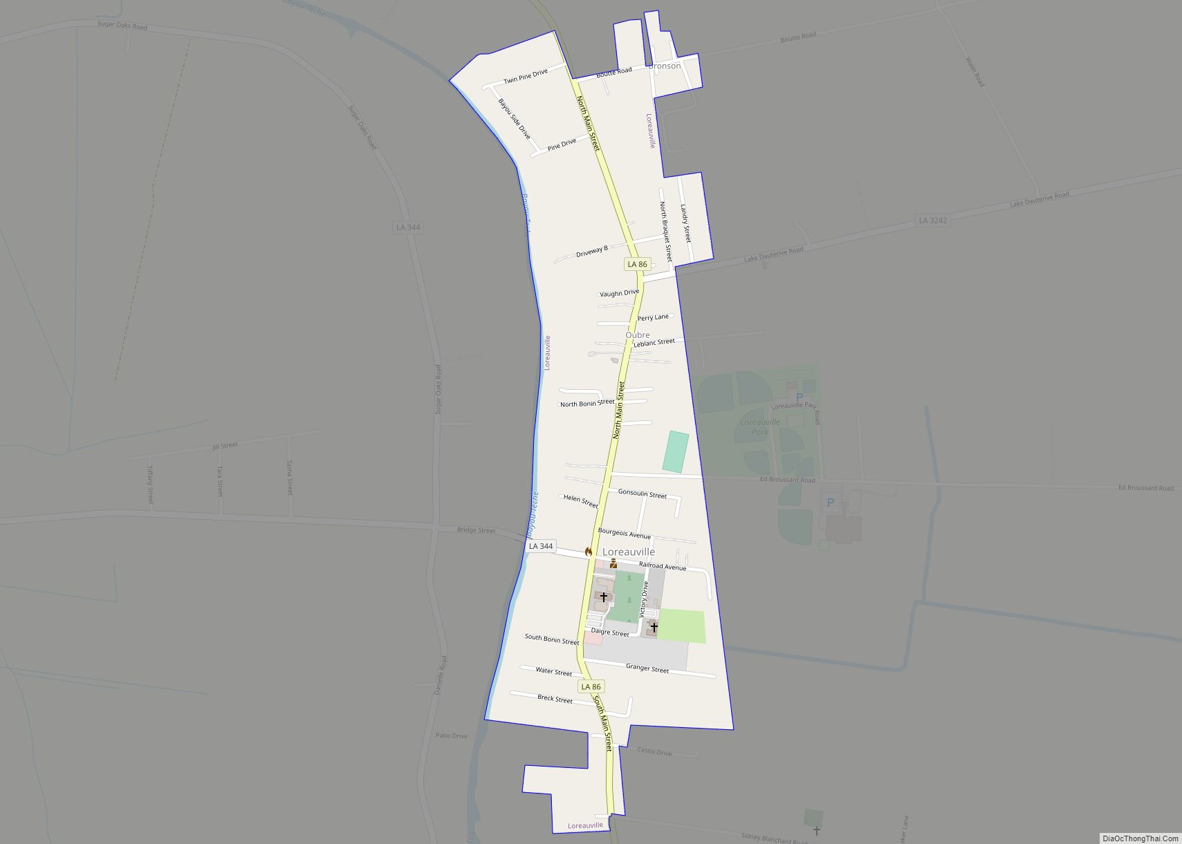
Loreauville is a village in Iberia Parish in the U.S. state of Louisiana. The population was 887 at the 2010 census, down from 938 at the 2000 census. It is part of the New Iberia micropolitan statistical area, and the Lafayette metropolitan statistical area. Loreauville village overview: Name: Loreauville village LSAD Code: 47 LSAD Description: ... Read more
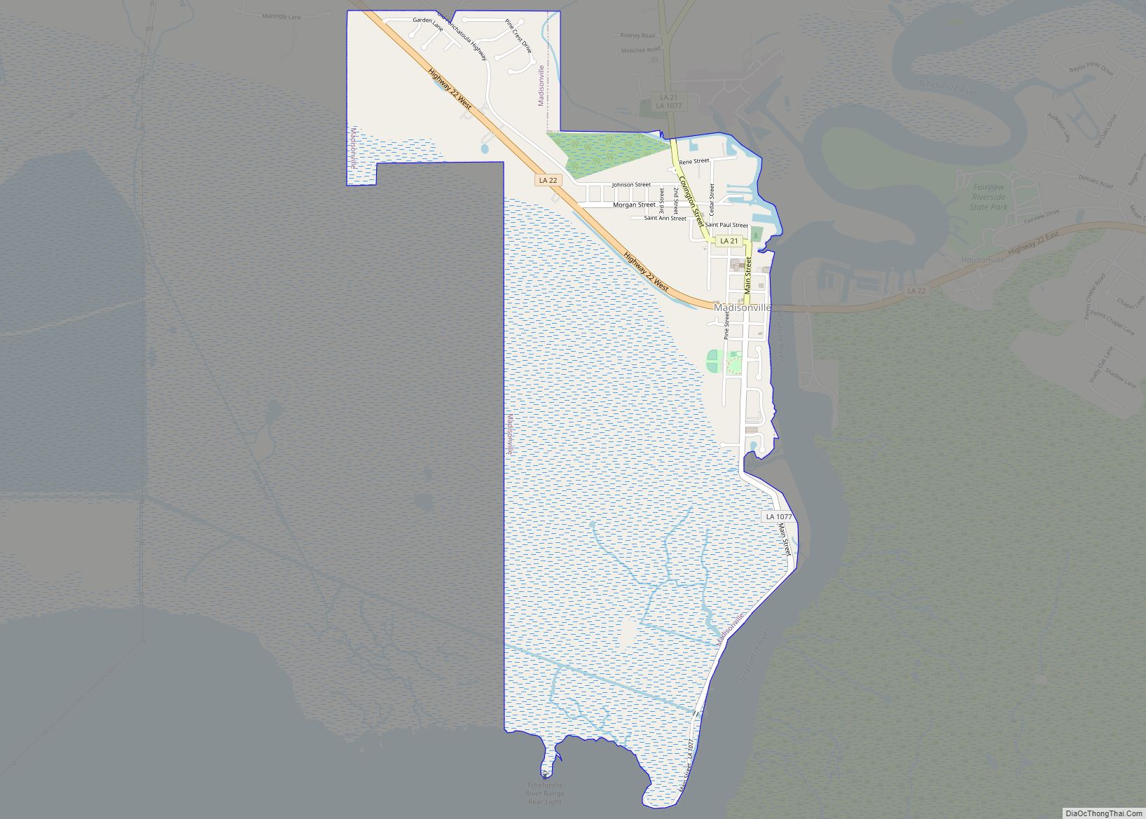
Madisonville is a town in St. Tammany Parish in the U.S. state of Louisiana. The population was 748 at the 2010 U.S. census, and 857 at the 2020 U.S. population estimates program. It is not part of the New Orleans–Metairie–Kenner metropolitan statistical area. The ZIP code is 70447. Madisonville town overview: Name: Madisonville town LSAD ... Read more
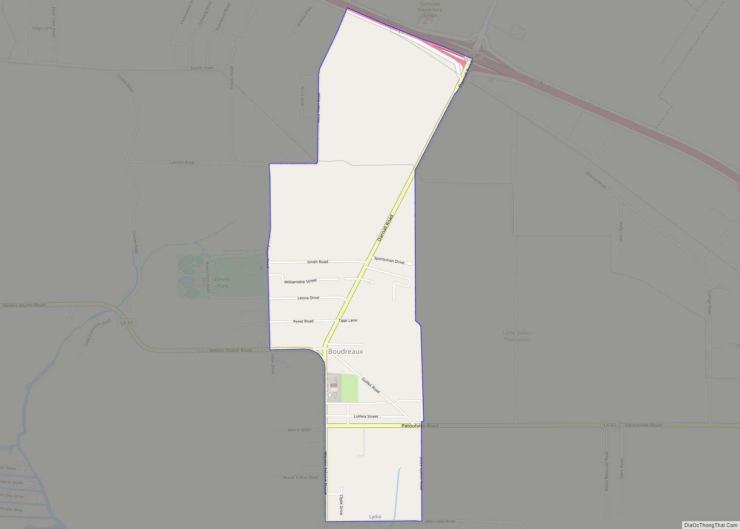
Lydia is an unincorporated community and census-designated place (CDP) in Iberia Parish, Louisiana, United States. The population was 952 at the 2010 census, down from 1,079 at the 2000 census. It is part of the New Iberia Micropolitan Statistical Area. Lydia CDP overview: Name: Lydia CDP LSAD Code: 57 LSAD Description: CDP (suffix) State: Louisiana ... Read more
