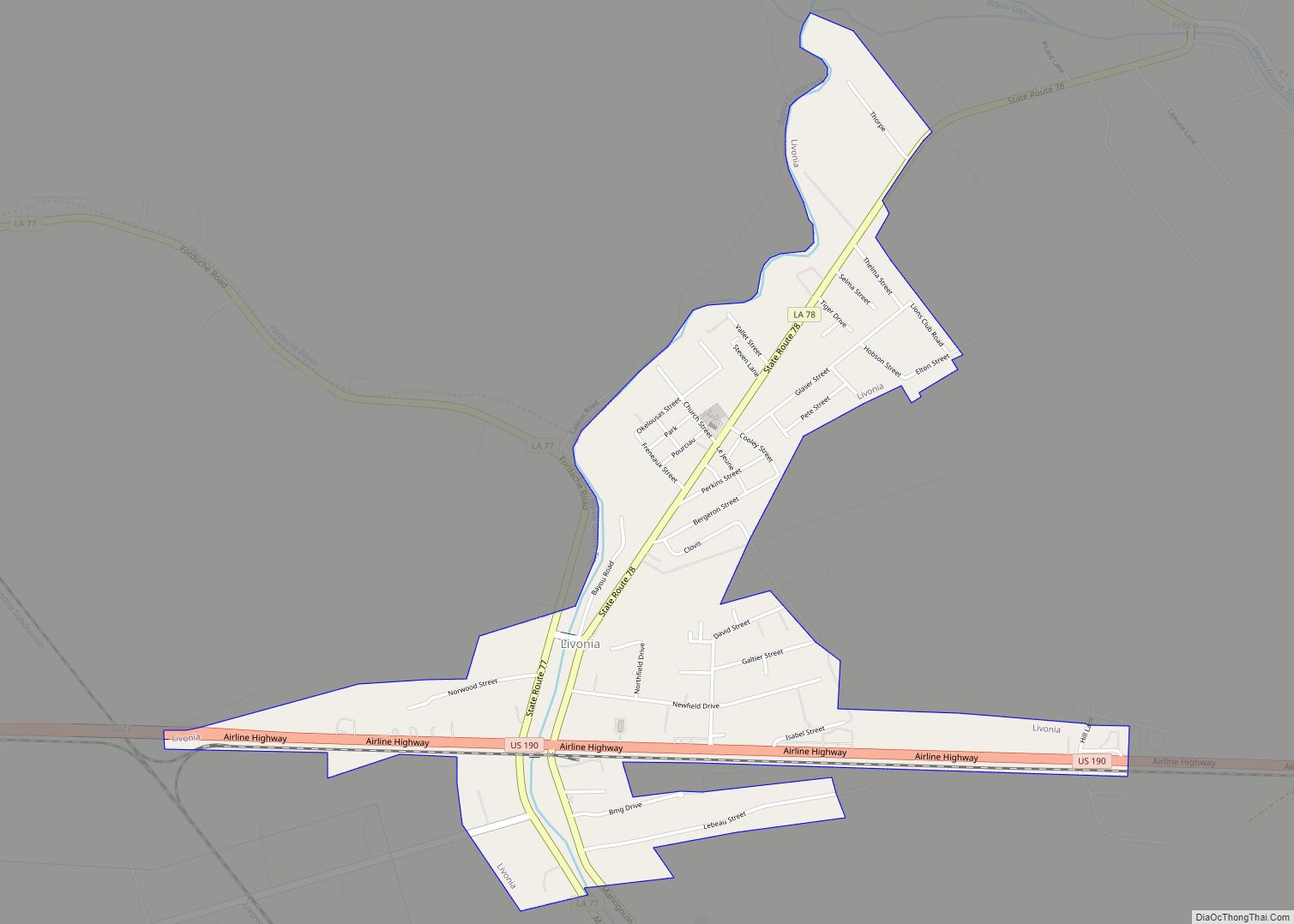
Livonia (pronounced Le Vone ya) is a town in Pointe Coupee Parish, Louisiana, United States. The population was 1,442 at the 2010 census, up from 1,339 in 2000. It is part of the Baton Rouge Metropolitan Statistical Area.
According to a 2007 Louisiana Legislative report, Livonia derived 41.18% of its revenue, an average of roughly $349 per capita, from fines and forfeitures in the 2005 fiscal year.
District 17 State Senator Rick Ward, III, was born in Livonia and resides in Maringouin, in neighboring Iberville Parish.
Its main police agency is the Livonia Police Department.
| Name: | Livonia town |
|---|---|
| LSAD Code: | 43 |
| LSAD Description: | town (suffix) |
| State: | Louisiana |
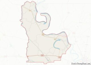
| County: | Pointe Coupee Parish |
| Elevation: | 26 ft (8 m) |
| Total Area: | 1.89 sq mi (4.90 km²) |
| Land Area: | 1.89 sq mi (4.90 km²) |
| Water Area: | 0.00 sq mi (0.00 km²) |
| Total Population: | 1,212 |
| Population Density: | 639.92/sq mi (247.11/km²) |
| ZIP code: | 70755 |
| Area code: | 225 |
| FIPS code: | 2244690 |
| GNISfeature ID: | 543403 |
| Website: | www.livoniala.net |
Online Interactive Map
Click on ![]() to view map in "full screen" mode.
to view map in "full screen" mode.
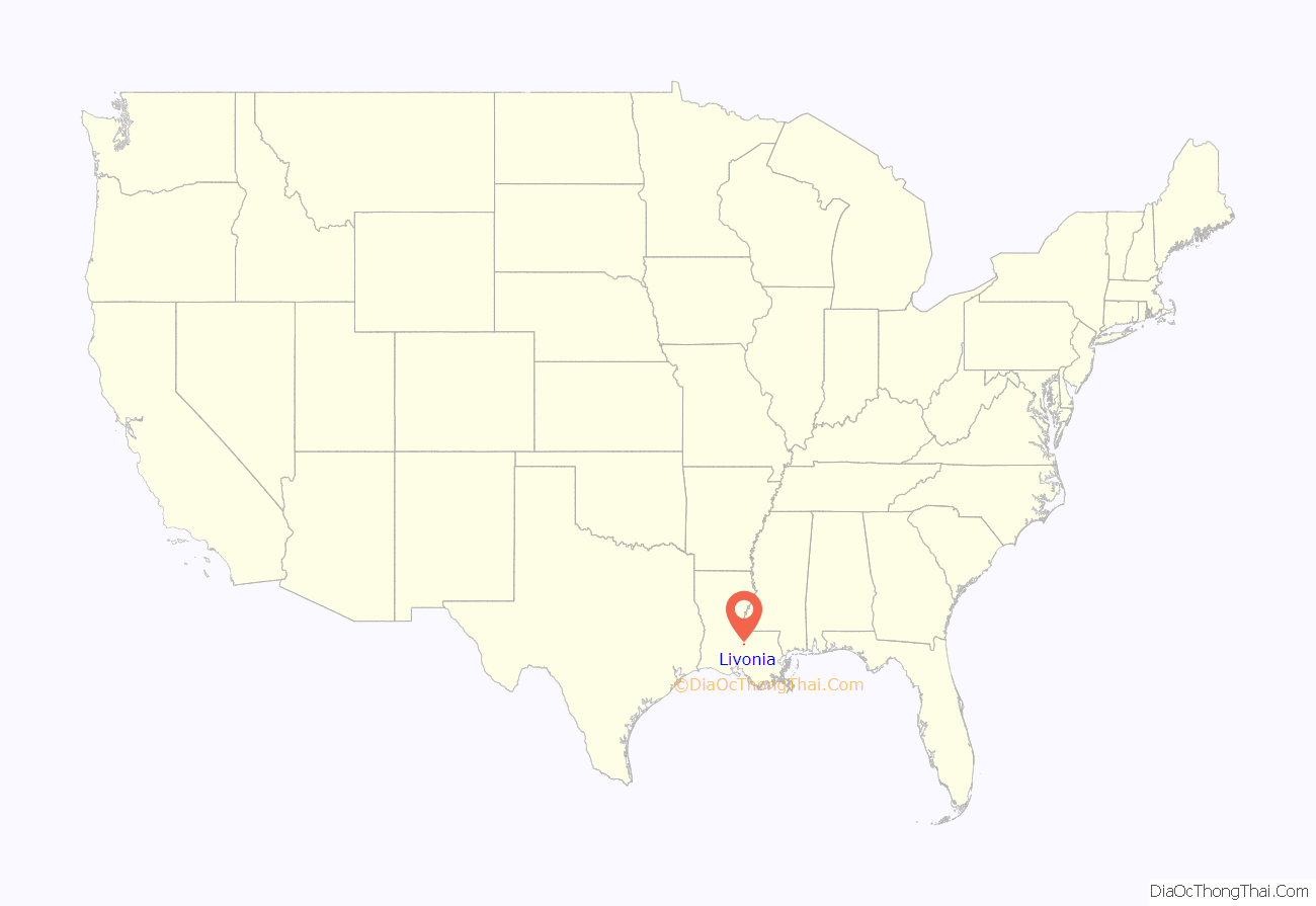
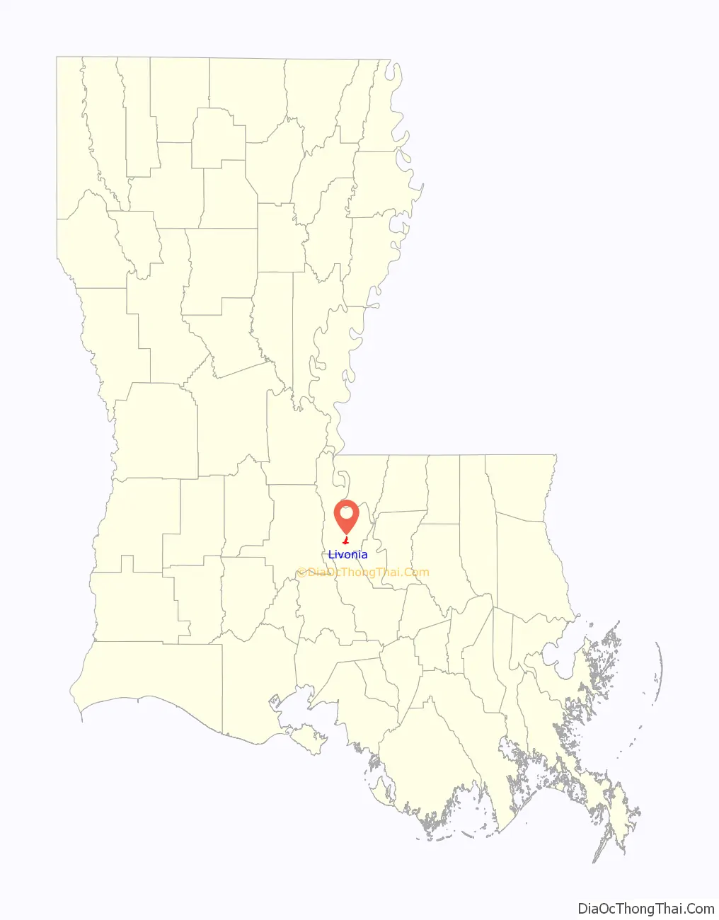
Livonia location map. Where is Livonia town?
History
Early history
The area of present-day Livonia has been occupied by several American Indian tribes, including Chitimacha, Houma, Tunica-Biloxi, Attakapas, and Coushatta and the site of the conical Livonia Mound. With a base of 165 feet and nearly 31 (30.7) feet tall, is the tallest of 10 remaining Indian burial mounds in Pointe Coupee Parish. Dated to the Coles Creek archaeological culture (400AD-1100AD) period, the mound sits between La 77 and La 78, 150 feet from Bayou Grosse Tête. A second low-rise unnamed mound (destroyed by the mid-1900s) is located 200 feet southeast and a third was reportedly south of these on the water’s edge.
Colonial history
France ruled the Livonia area as part of Louisiana from 1699 to 1763, when the area was ceded to Spain. Spain controlled the area until 1800 when Napoleon took control of Louisiana for France. Some French Canadians migrated to Louisiana earlier, but the majority came between 1755 and 1764 after being expelled from Acadia. Some of the French culture remains in Livonia, as shown by the 2000 census that revealed 5.6% of the parish spoke French, Cajun French, or Louisiana Creole French. The land was sold to the United States in 1803 as part of the Louisiana Purchase.
Foundation
The Post office opened 1846 and was named by first postmaster James B. Johnson for his native Livonia, Pennsylvania.
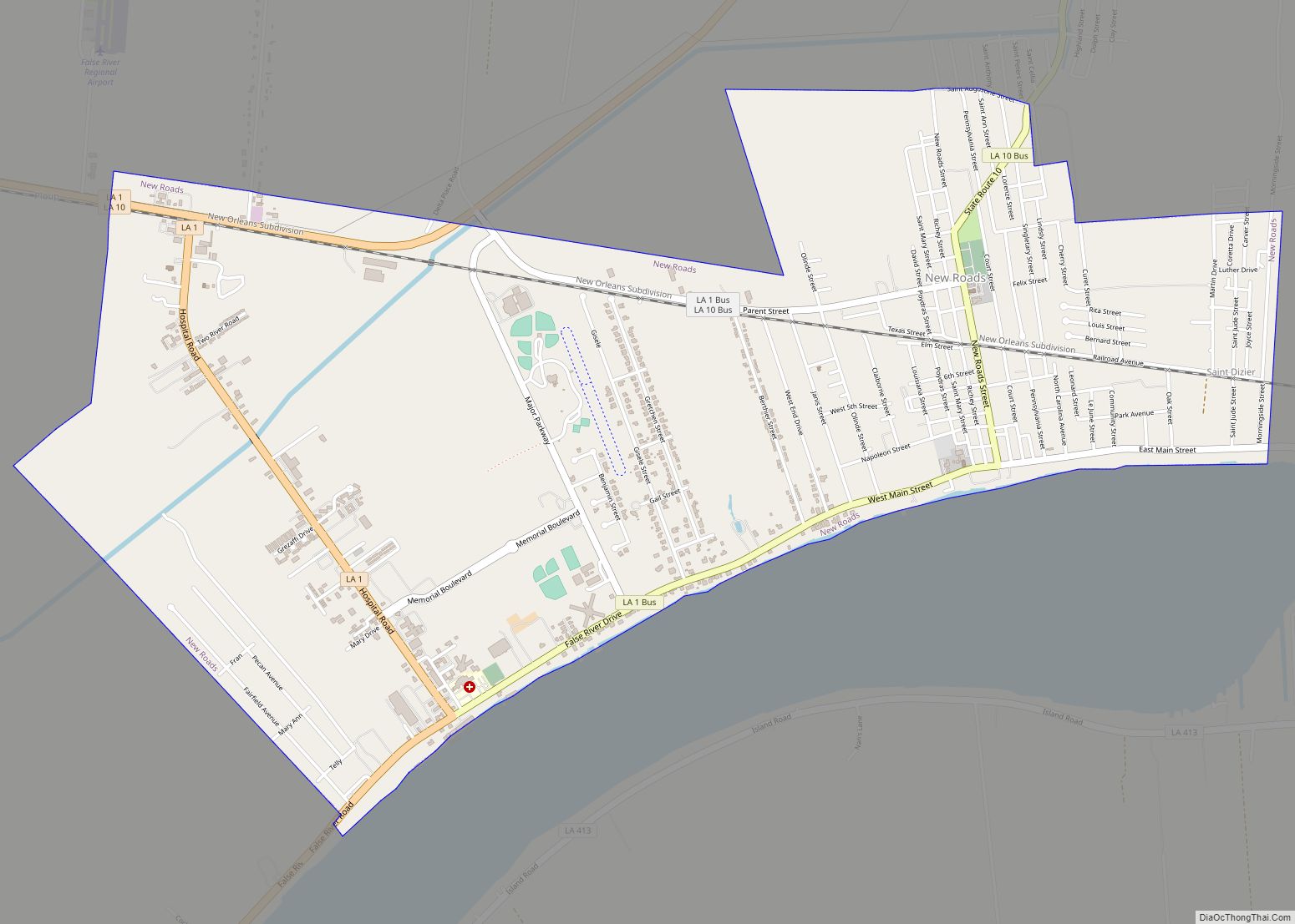
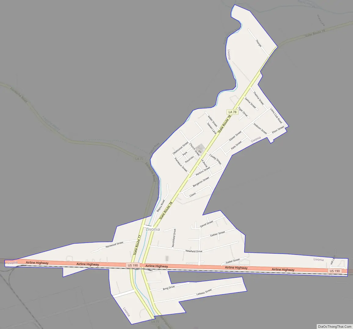
Livonia Road Map
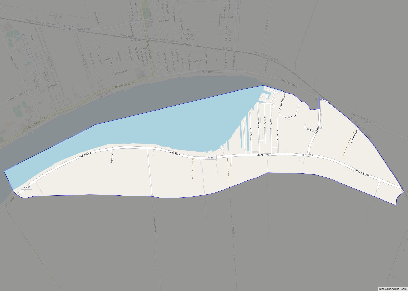
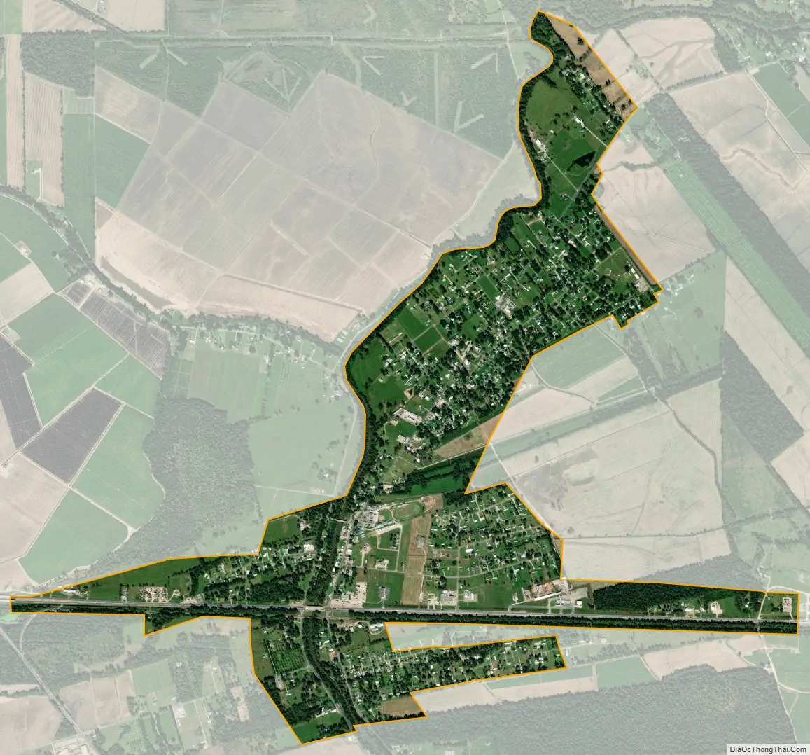
Livonia city Satellite Map
Geography
Livonia is located at 30°33′37″N 91°33′1″W / 30.56028°N 91.55028°W / 30.56028; -91.55028 (30.560159, -91.550165).
According to the United States Census Bureau, the town has a total area of 1.8 square miles (4.7 km), all land.
See also
Map of Louisiana State and its subdivision:- Acadia
- Allen
- Ascension
- Assumption
- Avoyelles
- Beauregard
- Bienville
- Bossier
- Caddo
- Calcasieu
- Caldwell
- Cameron
- Catahoula
- Claiborne
- Concordia
- De Soto
- East Baton Rouge
- East Carroll
- East Feliciana
- Evangeline
- Franklin
- Grant
- Iberia
- Iberville
- Jackson
- Jefferson
- Jefferson Davis
- La Salle
- Lafayette
- Lafourche
- Lincoln
- Livingston
- Madison
- Morehouse
- Natchitoches
- Orleans
- Ouachita
- Plaquemines
- Pointe Coupee
- Rapides
- Red River
- Richland
- Sabine
- Saint Bernard
- Saint Charles
- Saint Helena
- Saint James
- Saint John the Baptist
- Saint Landry
- Saint Martin
- Saint Mary
- Saint Tammany
- Tangipahoa
- Tensas
- Terrebonne
- Union
- Vermilion
- Vernon
- Washington
- Webster
- West Baton Rouge
- West Carroll
- West Feliciana
- Winn
- Alabama
- Alaska
- Arizona
- Arkansas
- California
- Colorado
- Connecticut
- Delaware
- District of Columbia
- Florida
- Georgia
- Hawaii
- Idaho
- Illinois
- Indiana
- Iowa
- Kansas
- Kentucky
- Louisiana
- Maine
- Maryland
- Massachusetts
- Michigan
- Minnesota
- Mississippi
- Missouri
- Montana
- Nebraska
- Nevada
- New Hampshire
- New Jersey
- New Mexico
- New York
- North Carolina
- North Dakota
- Ohio
- Oklahoma
- Oregon
- Pennsylvania
- Rhode Island
- South Carolina
- South Dakota
- Tennessee
- Texas
- Utah
- Vermont
- Virginia
- Washington
- West Virginia
- Wisconsin
- Wyoming