Madisonville is a town in St. Tammany Parish in the U.S. state of Louisiana. The population was 748 at the 2010 U.S. census, and 857 at the 2020 U.S. population estimates program. It is not part of the New Orleans–Metairie–Kenner metropolitan statistical area. The ZIP code is 70447.
| Name: | Madisonville town |
|---|---|
| LSAD Code: | 43 |
| LSAD Description: | town (suffix) |
| State: | Louisiana |
| County: | St. Tammany Parish |
| Founded: | 1800 |
| Elevation: | 7 ft (2 m) |
| Total Area: | 2.55 sq mi (6.60 km²) |
| Land Area: | 2.53 sq mi (6.54 km²) |
| Water Area: | 0.02 sq mi (0.06 km²) |
| Total Population: | 850 |
| Population Density: | 336.37/sq mi (129.88/km²) |
| Area code: | 985 |
| FIPS code: | 2247560 |
| Website: | http://www.townofmadisonville.org |
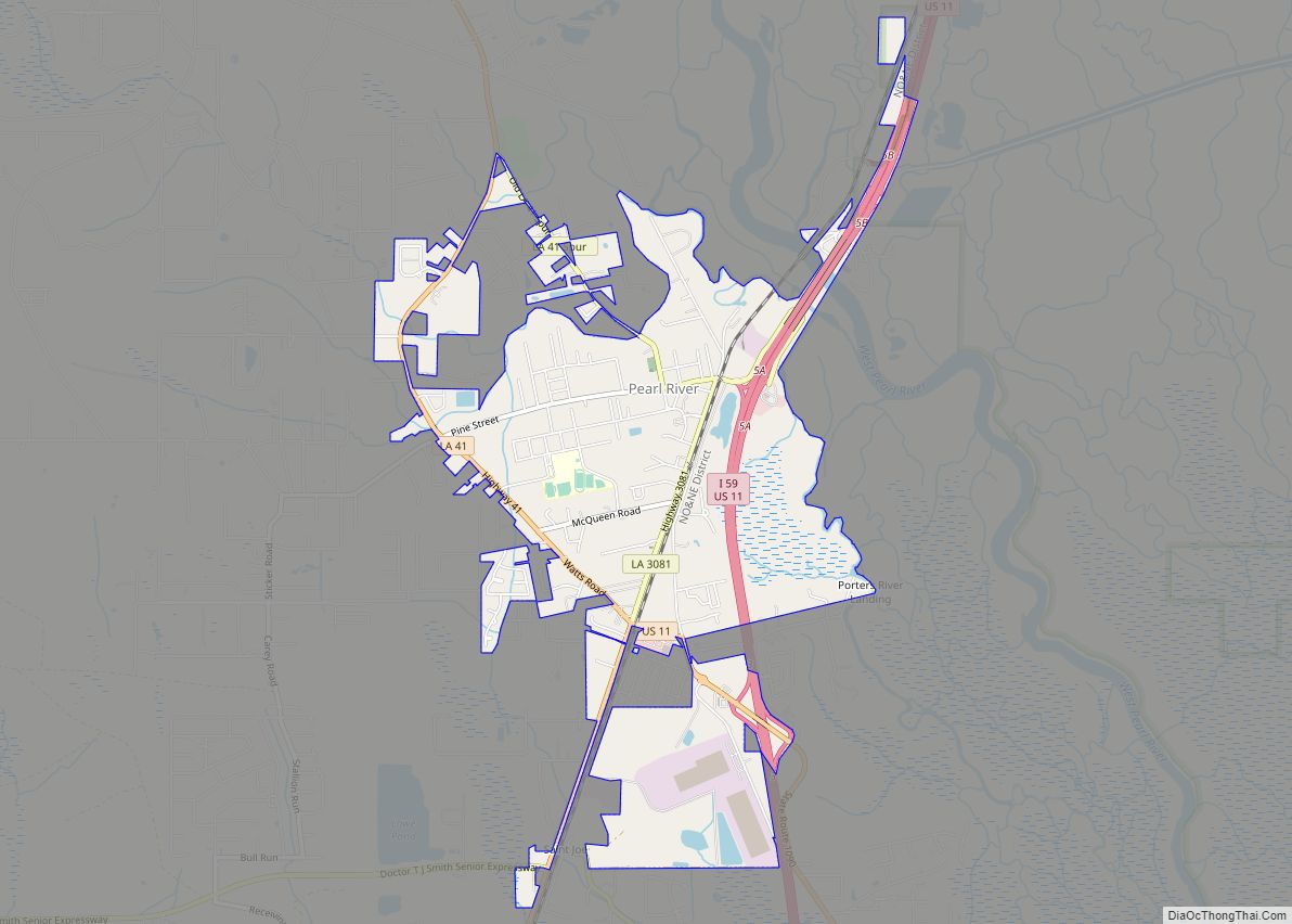
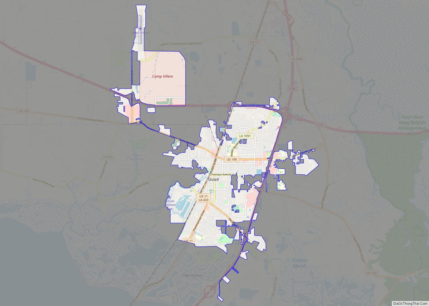
Online Interactive Map
Click on ![]() to view map in "full screen" mode.
to view map in "full screen" mode.
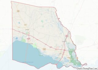
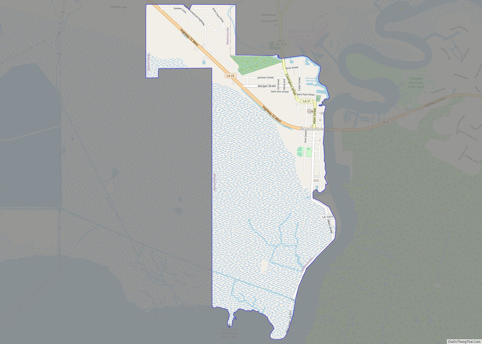
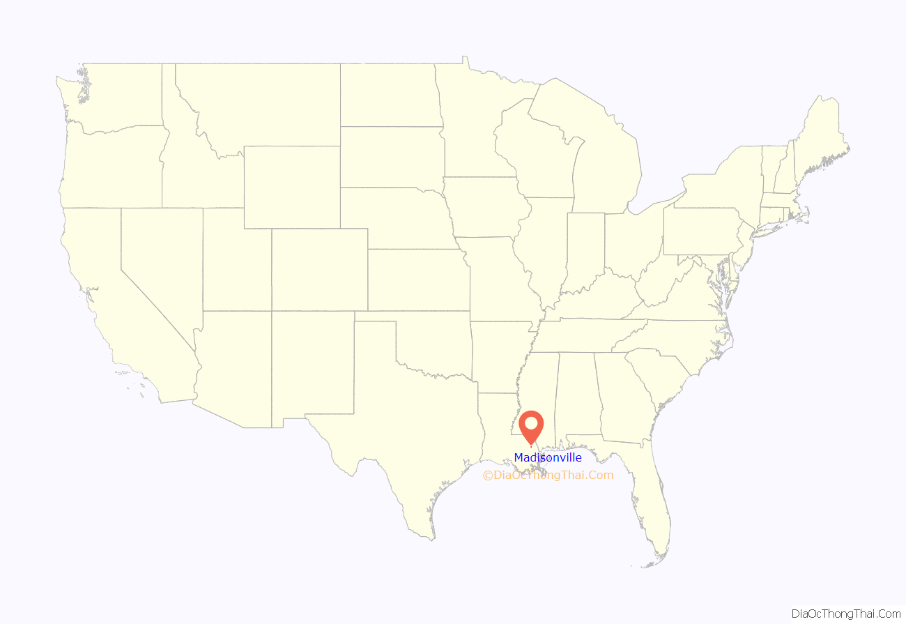
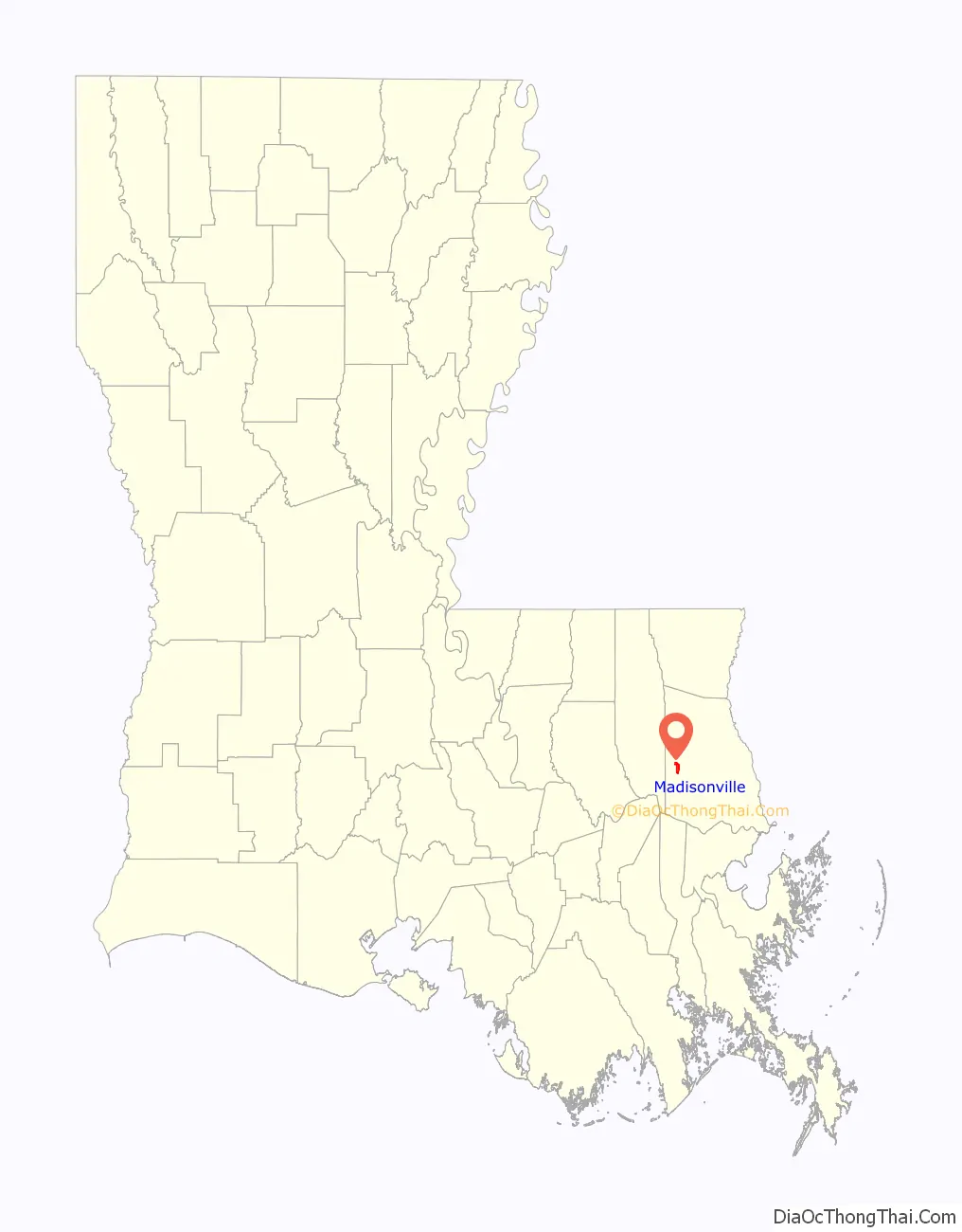
Madisonville location map. Where is Madisonville town?
History
Madisonville was founded by Jean Baptiste Baham in 1800, before the United States acquired this area, as the town of “Coquille” or “Cokie” because of the abundance of shells in the area, at the site of the Native American village of “Chiconcte”. The town was renamed in honor of US President James Madison around 1811.
Madisonville was a notable port, providing bricks and other products of the towns along the Tchefuncte River to New Orleans, in the decades before the Civil War. After the Capture of New Orleans by the Union Army, this area remained under nominal Confederate control; and the cutoff of trade with New Orleans across enemy lines was devastating to the local economy, which did not recover for decades after the peace.
The opening of the Lake Pontchartrain Causeway and associated highways gradually brought Madisonville into the sphere of Greater New Orleans, in the second half of the 20th century.
Much of the town flooded with the Lake Pontchartrain storm surge of Hurricane Katrina, on August 29, 2005. The police/fire station and the town hall were damaged by the flood waters. The town flooded again in 2012 during Hurricane Isaac. Town buildings were again repaired but the police station was moved to a historic building at the intersection of Covington, St. John and Cedar Streets. The fire station later moved to a new building on Hwy. 22 just west of the town center.
Jahncke shipyard
Frederick (Fritz) Jahncke emigrated to New Orleans from Hamburg, Germany in 1870. After working as a mason, he started a business that built the first sidewalks in New Orleans. Jahncke expanded; using a rented steam-driven hydraulic suction dredge, his firm was the first to extract sand and shell from the Tchefuncte and other rivers to make concrete used in expanding New Orleans.
Jahncke purchased a half-interest in the Baham Shipyard, entering into shipbuilding. In 1905 he purchased the remaining interest, acquiring land for yards, as well as warehouses, docks, storage facilities and equipment. He died in 1911 and the company passed to Ernest Lee, Paul F. and Walter F. Jahncke. In 1917, the company started building five wooden ships for the US Navy for World War I. Two ships were completed – the SS Bayou Teche, which was launched in March 1918, and the SS Balabac on September 29, 1918. The war ended November 11, 1918, and three of the ships were not completed. The SS Abbeville was completed on January 19, 1919, and the SS Pontchartrain on April 6, 1919. The last ship was hauled across the river and burned. Part of the hull is still visible at low tide.
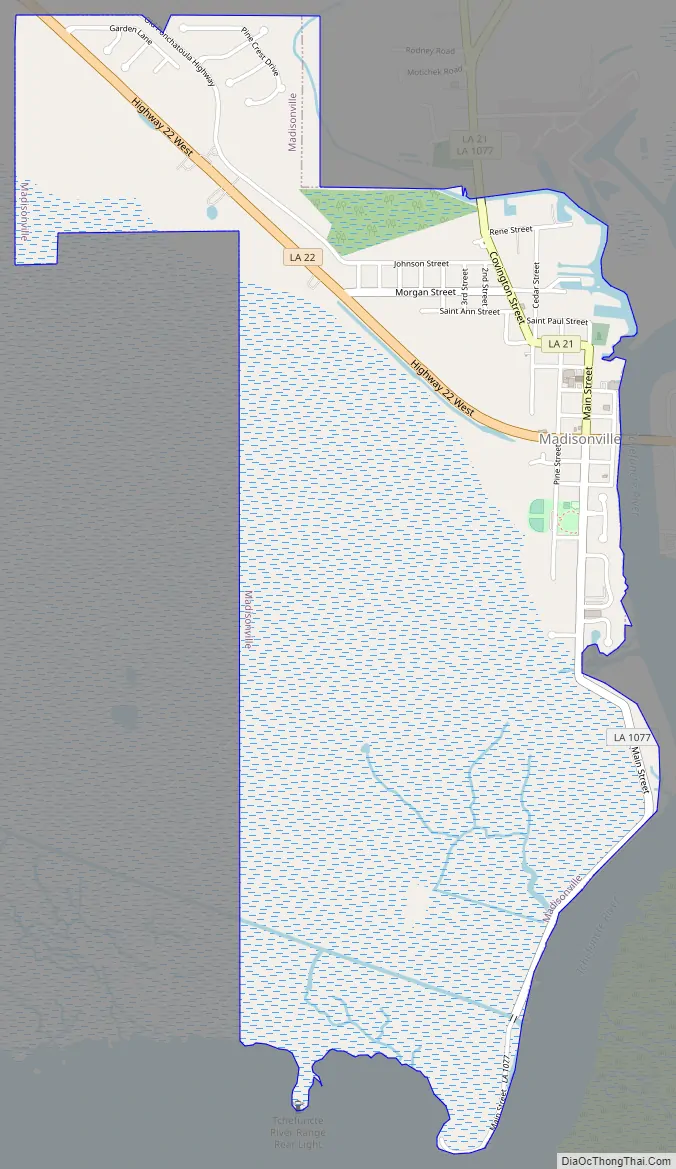
Madisonville Road Map
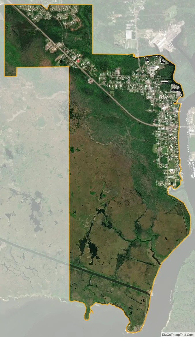
Madisonville city Satellite Map
Geography
The town of Madisonville is located on the banks of the Tchefuncte River, near where the river enters Lake Pontchartrain. According to the United States Census Bureau, the town has a total area of 2.51 square miles (6.51 km), of which 2.49 square miles (6.46 km) is land and 0.02 square miles (0.06 km), or 0.86%, is water.
See also
Map of Louisiana State and its subdivision:- Acadia
- Allen
- Ascension
- Assumption
- Avoyelles
- Beauregard
- Bienville
- Bossier
- Caddo
- Calcasieu
- Caldwell
- Cameron
- Catahoula
- Claiborne
- Concordia
- De Soto
- East Baton Rouge
- East Carroll
- East Feliciana
- Evangeline
- Franklin
- Grant
- Iberia
- Iberville
- Jackson
- Jefferson
- Jefferson Davis
- La Salle
- Lafayette
- Lafourche
- Lincoln
- Livingston
- Madison
- Morehouse
- Natchitoches
- Orleans
- Ouachita
- Plaquemines
- Pointe Coupee
- Rapides
- Red River
- Richland
- Sabine
- Saint Bernard
- Saint Charles
- Saint Helena
- Saint James
- Saint John the Baptist
- Saint Landry
- Saint Martin
- Saint Mary
- Saint Tammany
- Tangipahoa
- Tensas
- Terrebonne
- Union
- Vermilion
- Vernon
- Washington
- Webster
- West Baton Rouge
- West Carroll
- West Feliciana
- Winn
- Alabama
- Alaska
- Arizona
- Arkansas
- California
- Colorado
- Connecticut
- Delaware
- District of Columbia
- Florida
- Georgia
- Hawaii
- Idaho
- Illinois
- Indiana
- Iowa
- Kansas
- Kentucky
- Louisiana
- Maine
- Maryland
- Massachusetts
- Michigan
- Minnesota
- Mississippi
- Missouri
- Montana
- Nebraska
- Nevada
- New Hampshire
- New Jersey
- New Mexico
- New York
- North Carolina
- North Dakota
- Ohio
- Oklahoma
- Oregon
- Pennsylvania
- Rhode Island
- South Carolina
- South Dakota
- Tennessee
- Texas
- Utah
- Vermont
- Virginia
- Washington
- West Virginia
- Wisconsin
- Wyoming