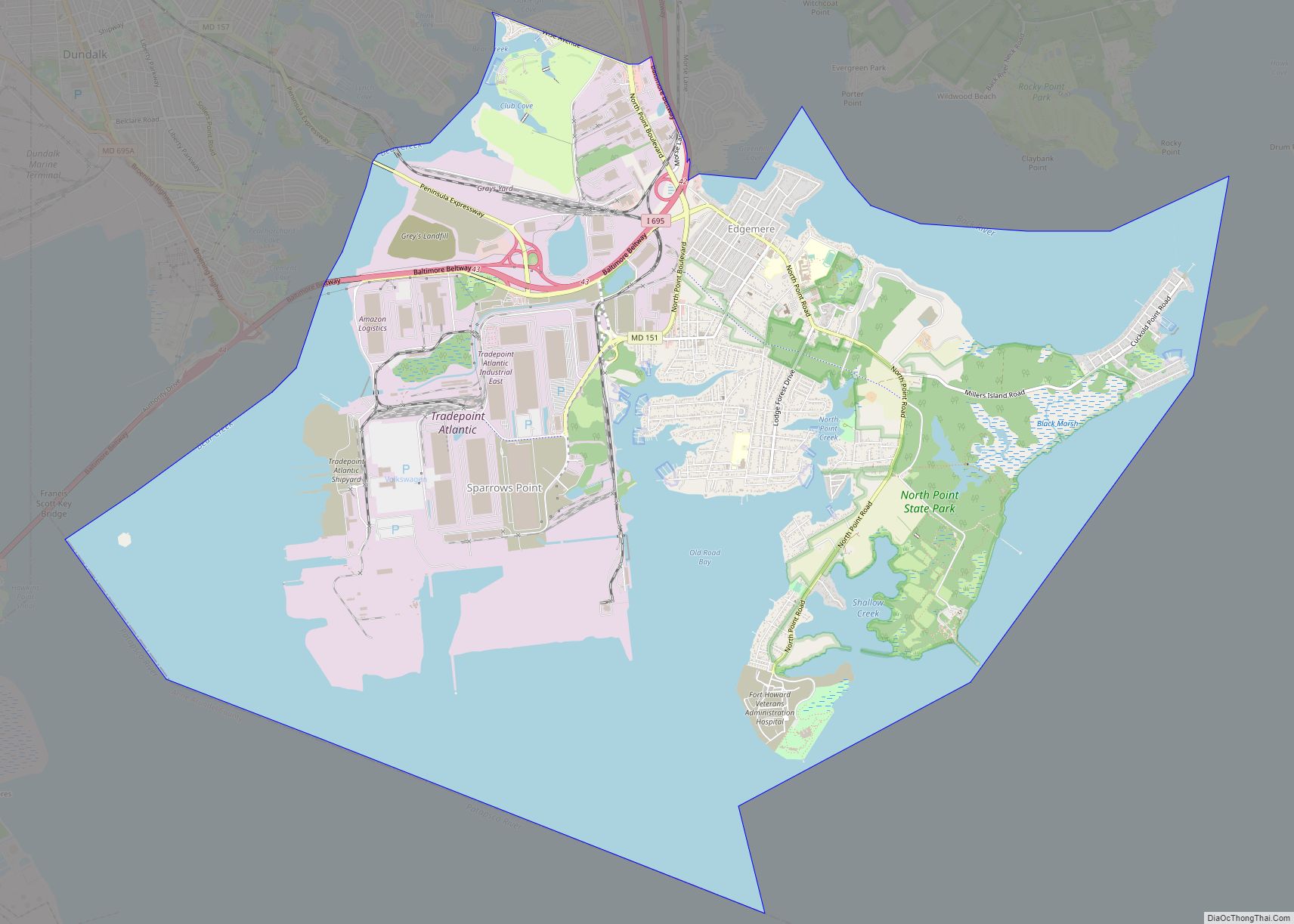
Edgemere is an unincorporated community and census-designated place in Baltimore County, Maryland, United States. The population was 8,669 at the 2010 census. Founded in 1899 as Edgemere being renamed from previous name “Fitzell”. Meeting held at the Fitzell Farm which was situated where the old Rheem plant was located (later it became the record storage ... Read more
Maryland Cities and Places
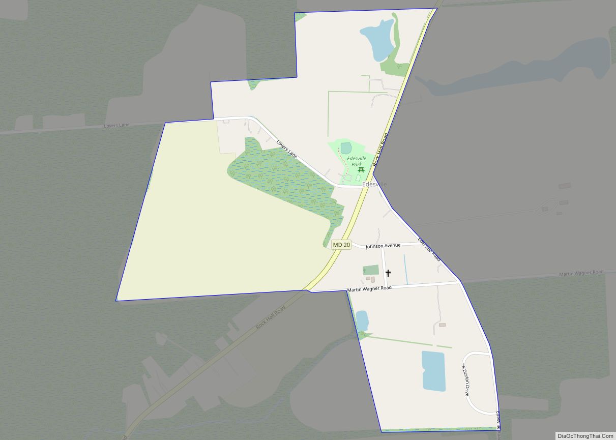
Edesville is an unincorporated community and census-designated place in Kent County, Maryland, United States. Its population was 169 as of the 2010 census. Edesville CDP overview: Name: Edesville CDP LSAD Code: 57 LSAD Description: CDP (suffix) State: Maryland County: Kent County Elevation: 26 ft (8 m) Total Area: 0.28 sq mi (0.74 km²) Land Area: 0.28 sq mi (0.71 km²) Water Area: 0.01 sq mi ... Read more
Eden is a census-designated place (CDP) in Somerset County, Maryland, United States. The Eden zip code (21822) also includes parts of Wicomico and Worcester counties. The population was 793 at the 2000 census. It is included in the Salisbury, Maryland-Delaware Metropolitan Statistical Area. Eden CDP overview: Name: Eden CDP LSAD Code: 57 LSAD Description: CDP ... Read more
Edgewood is an unincorporated community and census-designated place (CDP) in Harford County, Maryland, United States. The population was 25,562 at the 2010 census, up from 23,378 in 2000. Edgewood CDP overview: Name: Edgewood CDP LSAD Code: 57 LSAD Description: CDP (suffix) State: Maryland County: Harford County Elevation: 52 ft (16 m) Total Area: 17.24 sq mi (44.64 km²) Land Area: ... Read more
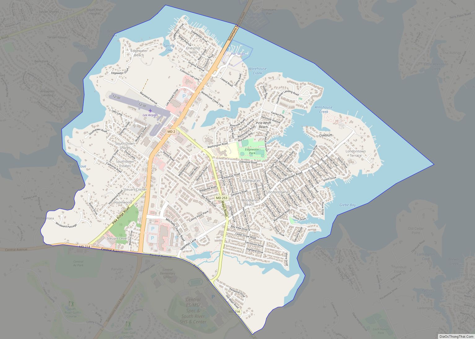
Edgewater is a census-designated place (CDP) in Anne Arundel County, Maryland, United States. The population was 9,023 at the 2010 census. Edgewater CDP overview: Name: Edgewater CDP LSAD Code: 57 LSAD Description: CDP (suffix) State: Maryland County: Anne Arundel County Elevation: 20 ft (6 m) Total Area: 3.83 sq mi (9.92 km²) Land Area: 2.99 sq mi (7.75 km²) Water Area: 0.84 sq mi (2.17 km²) ... Read more
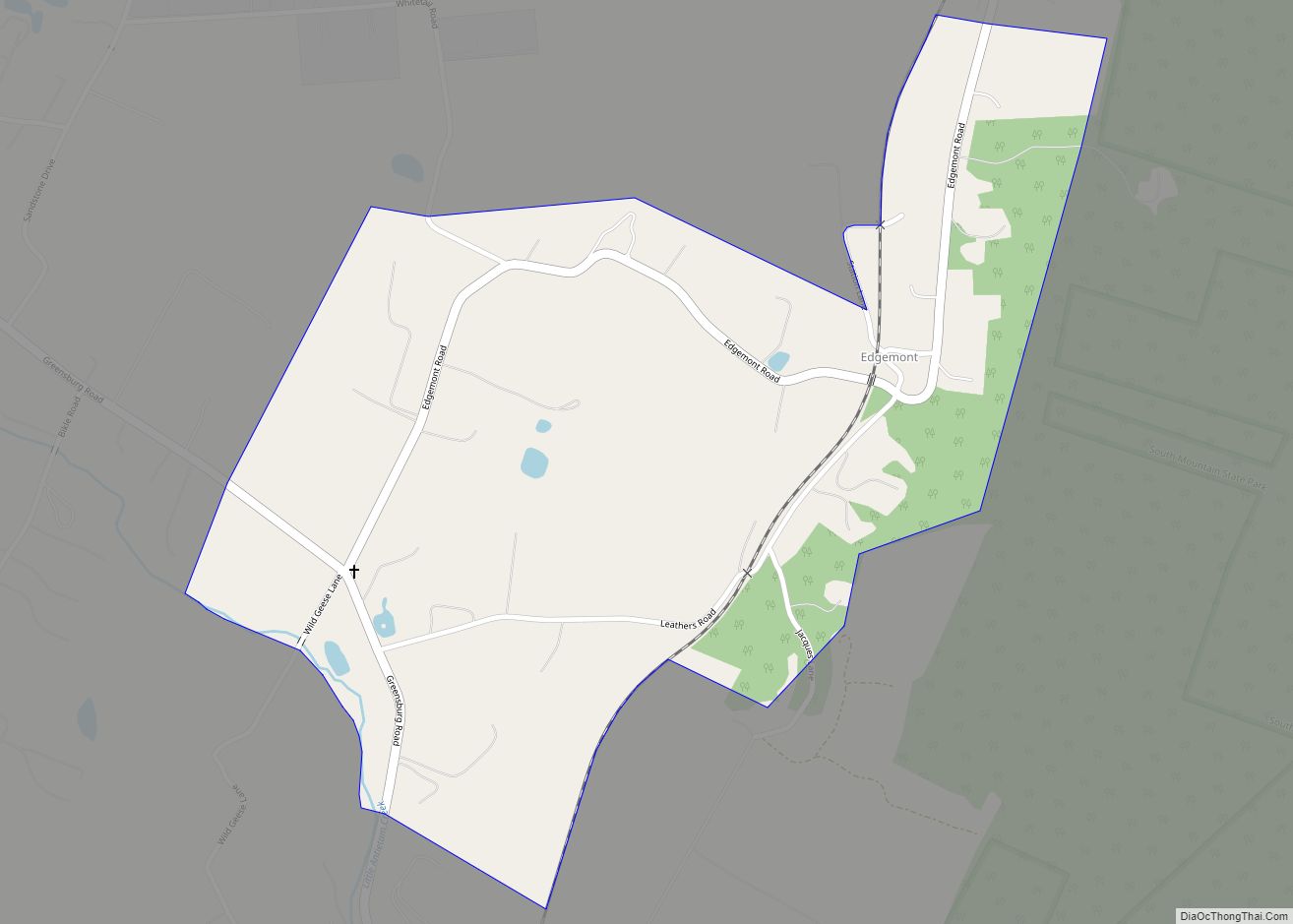
Edgemont is an unincorporated community and census-designated place in Washington County, Maryland, United States. Its population was 231 as of the 2010 census. Edgemont CDP overview: Name: Edgemont CDP LSAD Code: 57 LSAD Description: CDP (suffix) State: Maryland County: Washington County Total Area: 0.53 sq mi (1.37 km²) Land Area: 0.53 sq mi (1.37 km²) Water Area: 0.00 sq mi (0.00 km²) Total Population: ... Read more
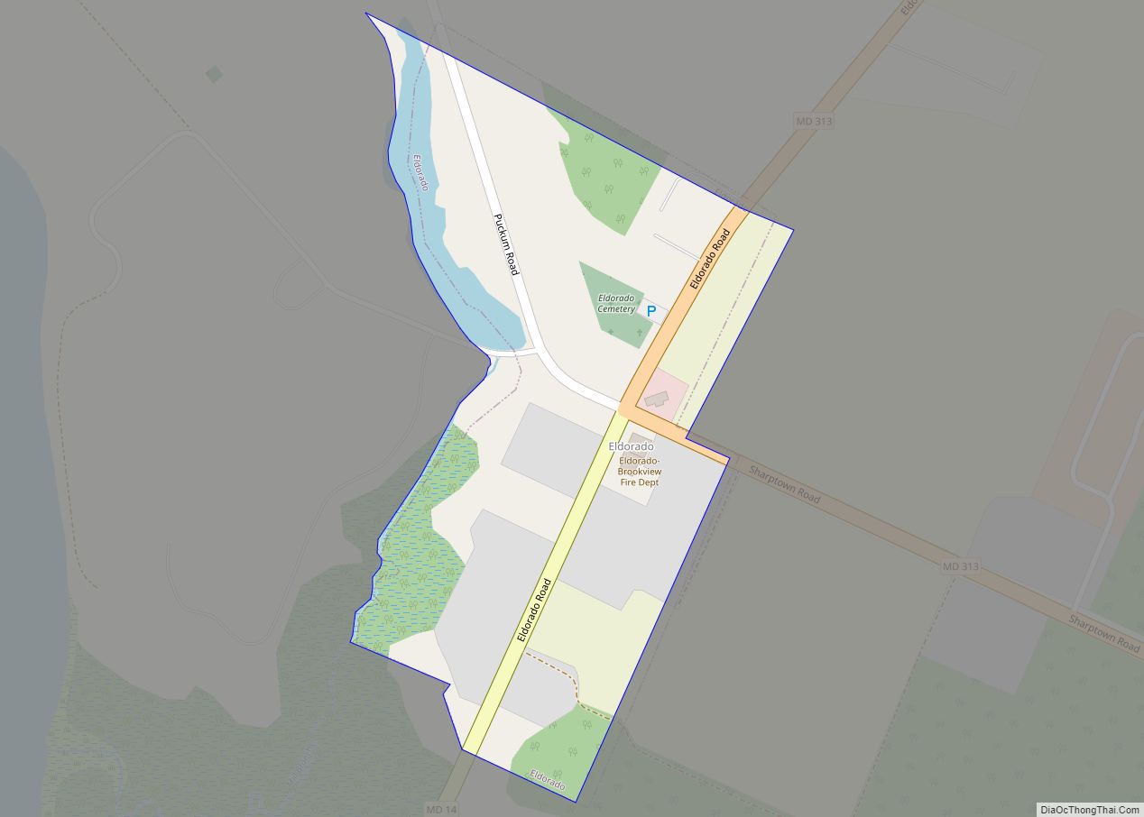
Eldorado /ˌɛldəˈreɪdoʊ/ EL-də-RAY-doh is a town in Dorchester County, Maryland, United States. The population was 45 at the 2020 census, making it the second smallest town in Maryland. Eldorado town overview: Name: Eldorado town LSAD Code: 43 LSAD Description: town (suffix) State: Maryland County: Dorchester County Incorporated: 1947 Elevation: 10 ft (3 m) Total Area: 0.08 sq mi (0.20 km²) ... Read more
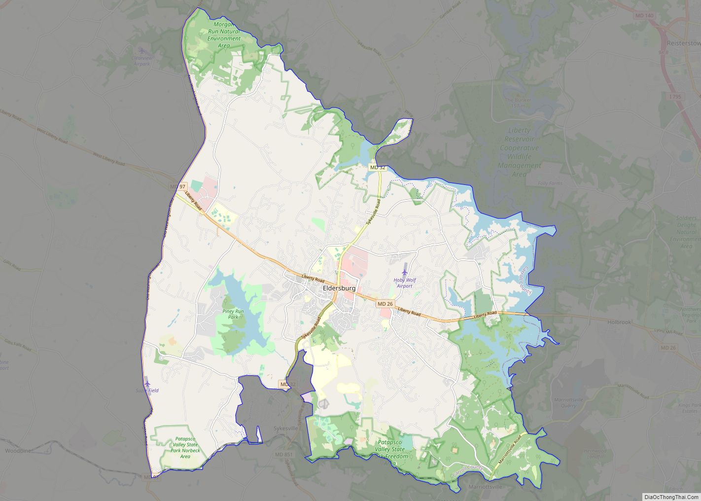
Eldersburg is an unincorporated community and census-designated place (CDP) in Carroll County, Maryland, United States. The population was 30,531 at the 2010 census. Eldersburg CDP overview: Name: Eldersburg CDP LSAD Code: 57 LSAD Description: CDP (suffix) State: Maryland County: Carroll County Elevation: 643 ft (196 m) Total Area: 42.36 sq mi (109.72 km²) Land Area: 39.83 sq mi (103.16 km²) Water Area: 2.54 sq mi ... Read more
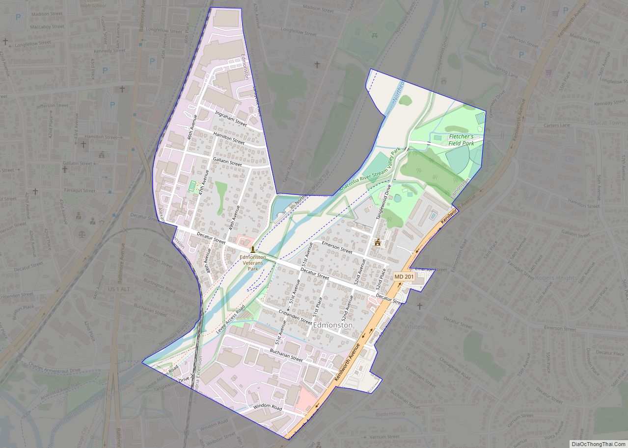
Edmonston is a town in Prince George’s County, Maryland, United States. As of the 2010 census, the town population was 1,445. The community is located 2.5 miles (4.0 km) from Washington, D.C. Edmonston’s ZIP code is 20781. Edmonston town overview: Name: Edmonston town LSAD Code: 43 LSAD Description: town (suffix) State: Maryland County: Prince George’s County ... Read more
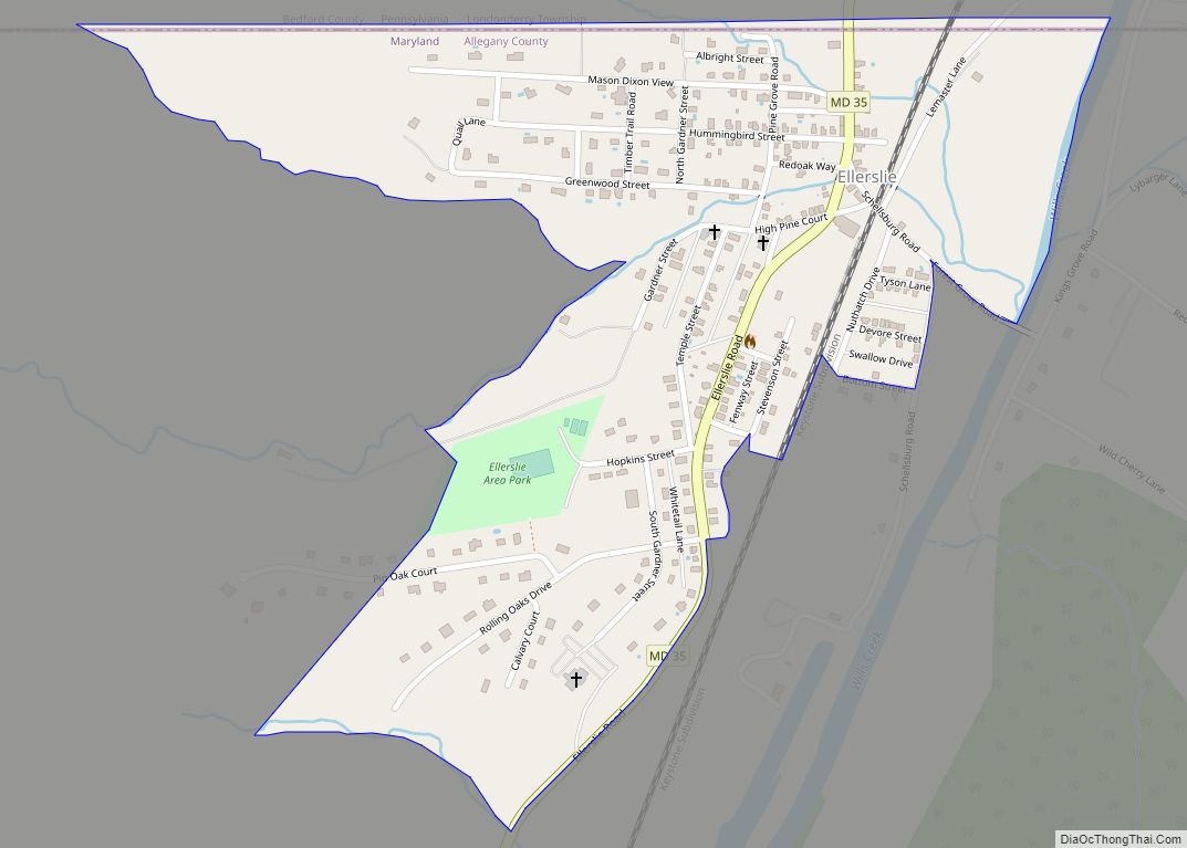
Ellerslie is an unincorporated community and census-designated place (CDP) in Allegany County, Maryland, United States. As of the 2010 census it had a population of 572. Ellerslie is part of the Cumberland, MD-WV Metropolitan Statistical Area. The community is named for Elderslie, Scotland, the birthplace of Scottish hero William Wallace. Ellerslie CDP overview: Name: Ellerslie ... Read more
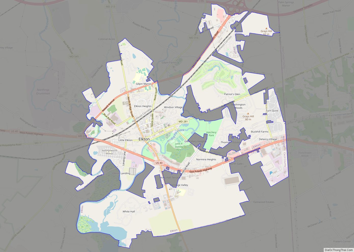
Elkton is a town in and the county seat of Cecil County, Maryland, United States. The population was 15,443 at the 2010 census. It was formerly called Head of Elk because it sits at the head of navigation on the Elk River, which flows into the nearby Chesapeake Bay. The town constitutes part of the ... Read more
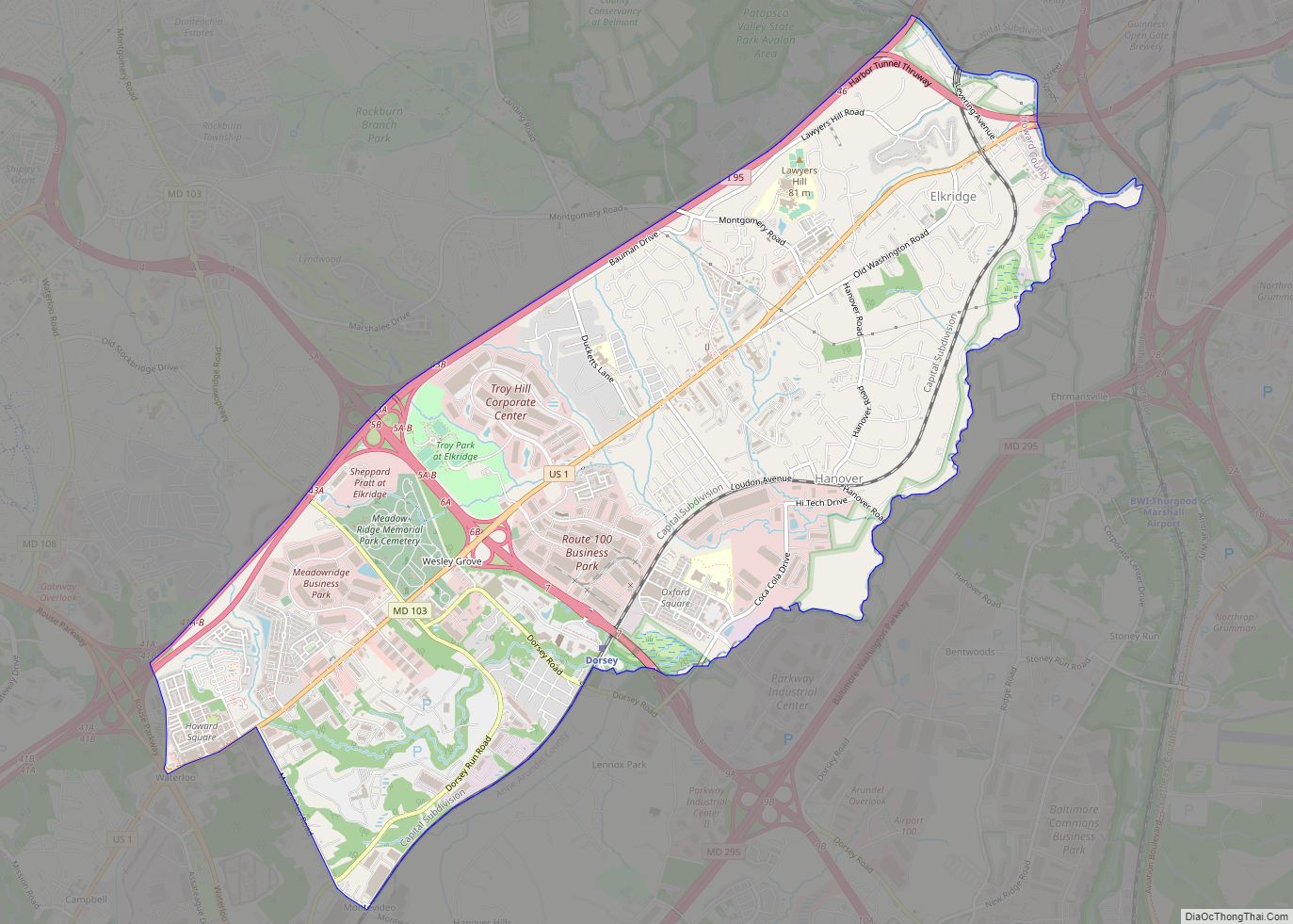
Elkridge is an unincorporated community and census-designated place (CDP) in Howard County, Maryland, United States. The population was 15,593 at the 2010 census. Founded early in the 18th century, Elkridge is adjacent to two other counties, Anne Arundel and Baltimore. Elkridge CDP overview: Name: Elkridge CDP LSAD Code: 57 LSAD Description: CDP (suffix) State: Maryland ... Read more
