Edgewater is a census-designated place (CDP) in Anne Arundel County, Maryland, United States. The population was 9,023 at the 2010 census.
| Name: | Edgewater CDP |
|---|---|
| LSAD Code: | 57 |
| LSAD Description: | CDP (suffix) |
| State: | Maryland |
| County: | Anne Arundel County |
| Elevation: | 20 ft (6 m) |
| Total Area: | 3.83 sq mi (9.92 km²) |
| Land Area: | 2.99 sq mi (7.75 km²) |
| Water Area: | 0.84 sq mi (2.17 km²) |
| Total Population: | 9,446 |
| Population Density: | 3,157.09/sq mi (1,218.92/km²) |
| ZIP code: | 21037 |
| Area code: | 410 |
| FIPS code: | 2425050 |
| GNISfeature ID: | 2583612 |
Online Interactive Map
Click on ![]() to view map in "full screen" mode.
to view map in "full screen" mode.
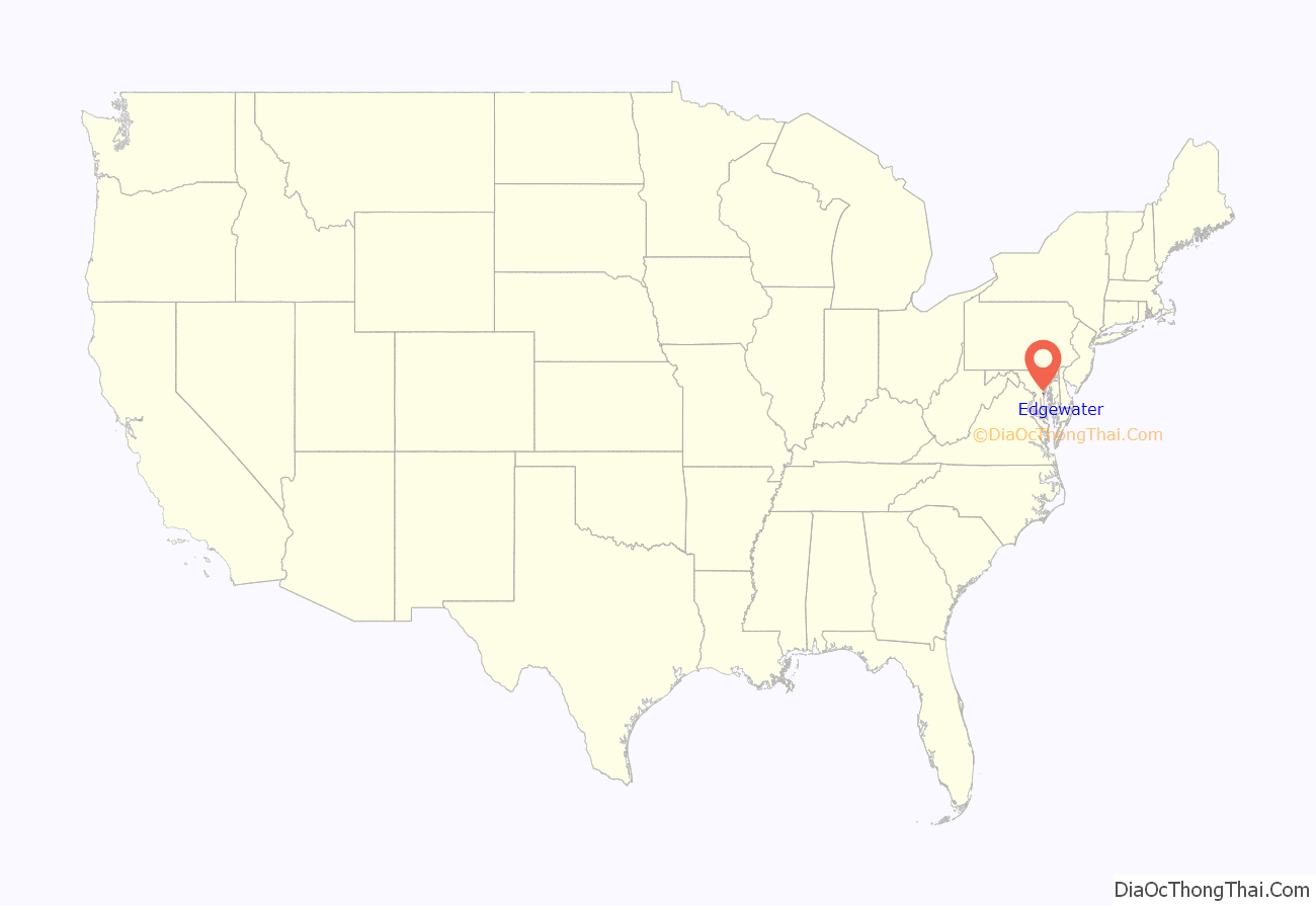
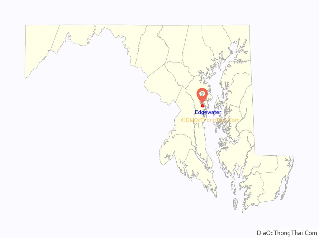
Edgewater location map. Where is Edgewater CDP?
Edgewater Road Map

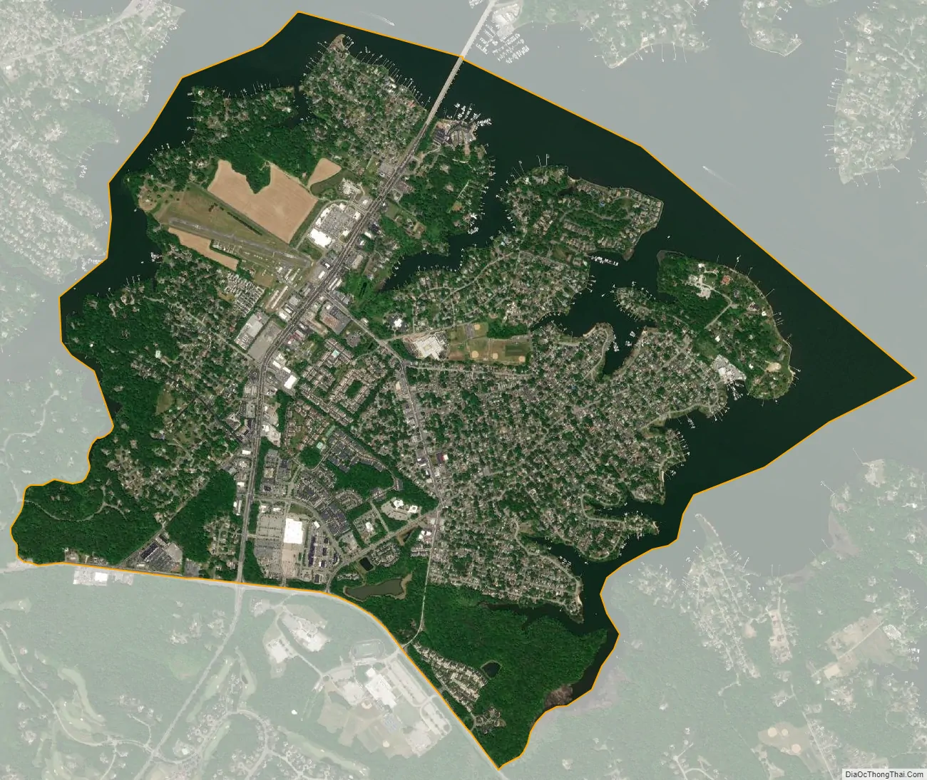
Edgewater city Satellite Map
Geography
Edgewater is a suburb located southwest of Annapolis on the south side of the tidal South River. It is bordered by Mayo to the east, Riva to the west, and Lothian to the south. To the north, across the South River, are the communities of Parole and Annapolis Neck.
Edgewater is often considered a suburb of Annapolis due to its proximity and development in the area. The area is steadily increasing with retail and residential development. Edgewater is part of the southern portion of Anne Arundel County. Londontown, Southdown, South River Colony, Glebe Heights, Gingerville and Edgewater Beach are some of the neighborhoods found in Edgewater.
See also
Map of Maryland State and its subdivision: Map of other states:- Alabama
- Alaska
- Arizona
- Arkansas
- California
- Colorado
- Connecticut
- Delaware
- District of Columbia
- Florida
- Georgia
- Hawaii
- Idaho
- Illinois
- Indiana
- Iowa
- Kansas
- Kentucky
- Louisiana
- Maine
- Maryland
- Massachusetts
- Michigan
- Minnesota
- Mississippi
- Missouri
- Montana
- Nebraska
- Nevada
- New Hampshire
- New Jersey
- New Mexico
- New York
- North Carolina
- North Dakota
- Ohio
- Oklahoma
- Oregon
- Pennsylvania
- Rhode Island
- South Carolina
- South Dakota
- Tennessee
- Texas
- Utah
- Vermont
- Virginia
- Washington
- West Virginia
- Wisconsin
- Wyoming


