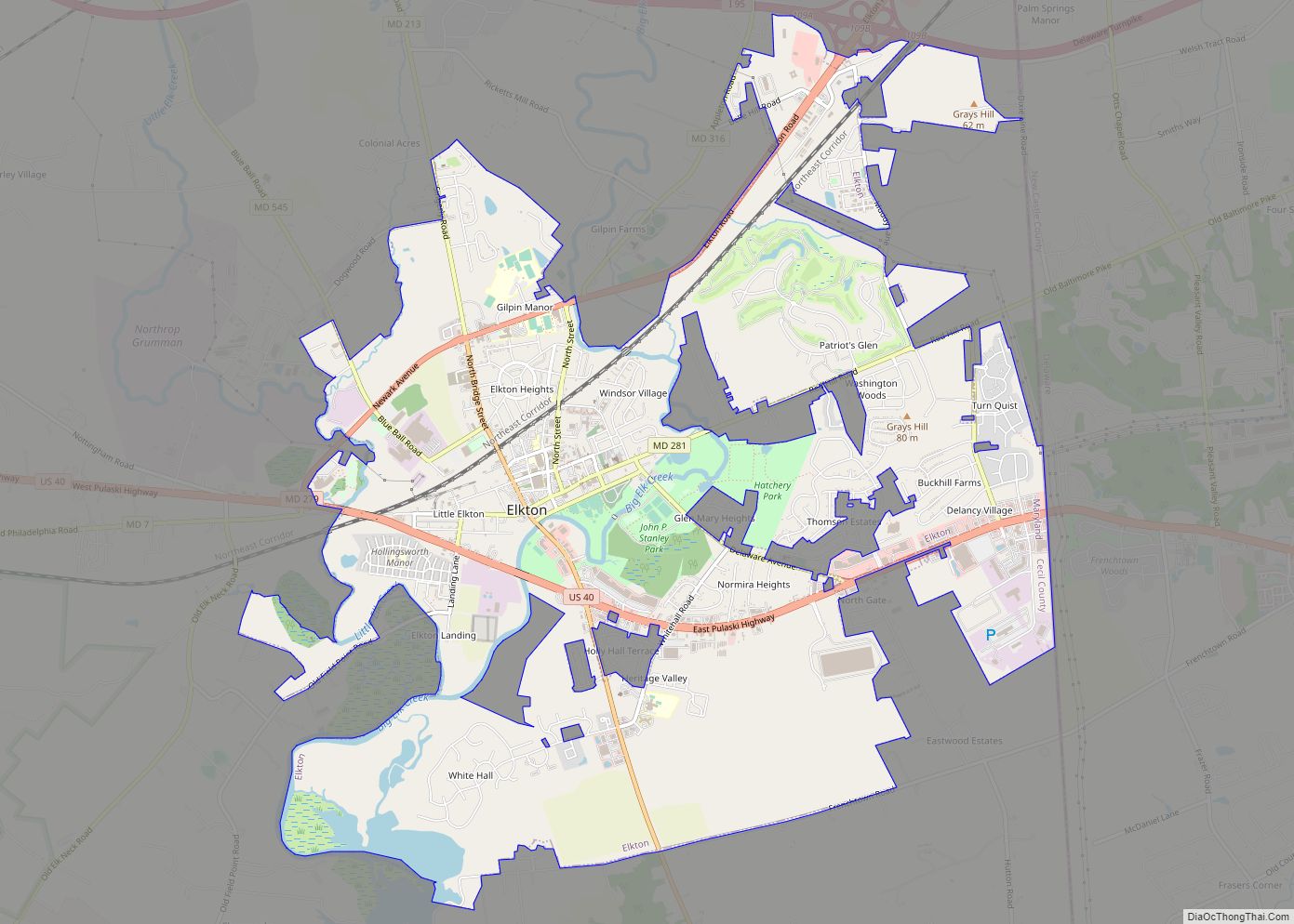
Elkton is a town in and the county seat of Cecil County, Maryland, United States. The population was 15,443 at the 2010 census. It was formerly called Head of Elk because it sits at the head of navigation on the Elk River, which flows into the nearby Chesapeake Bay. The town constitutes part of the Delaware Valley (i.e. the Philadelphia metropolitan area).
Elkton was once known as the Gretna Green of the East of the US because of its popularity as a place for eloping couples to marry.
| Name: | Elkton town |
|---|---|
| LSAD Code: | 43 |
| LSAD Description: | town (suffix) |
| State: | Maryland |
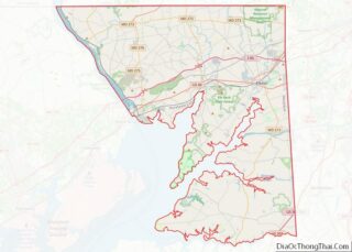
| County: | Cecil County |
| Incorporated: | 1787 |
| Elevation: | 30 ft (9 m) |
| Total Area: | 9.16 sq mi (23.73 km²) |
| Land Area: | 8.89 sq mi (23.02 km²) |
| Water Area: | 0.27 sq mi (0.71 km²) |
| Total Population: | 15,807 |
| Population Density: | 1,778.27/sq mi (686.56/km²) |
| ZIP code: | 21921-21922 |
| FIPS code: | 2425800 |
| GNISfeature ID: | 0590150 |
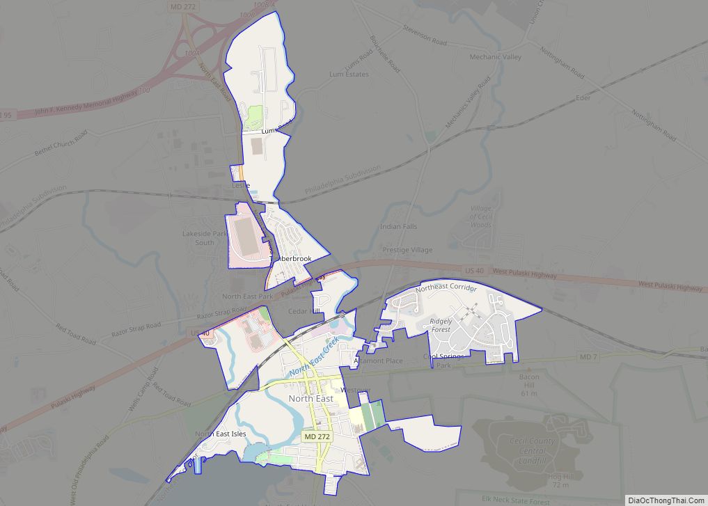
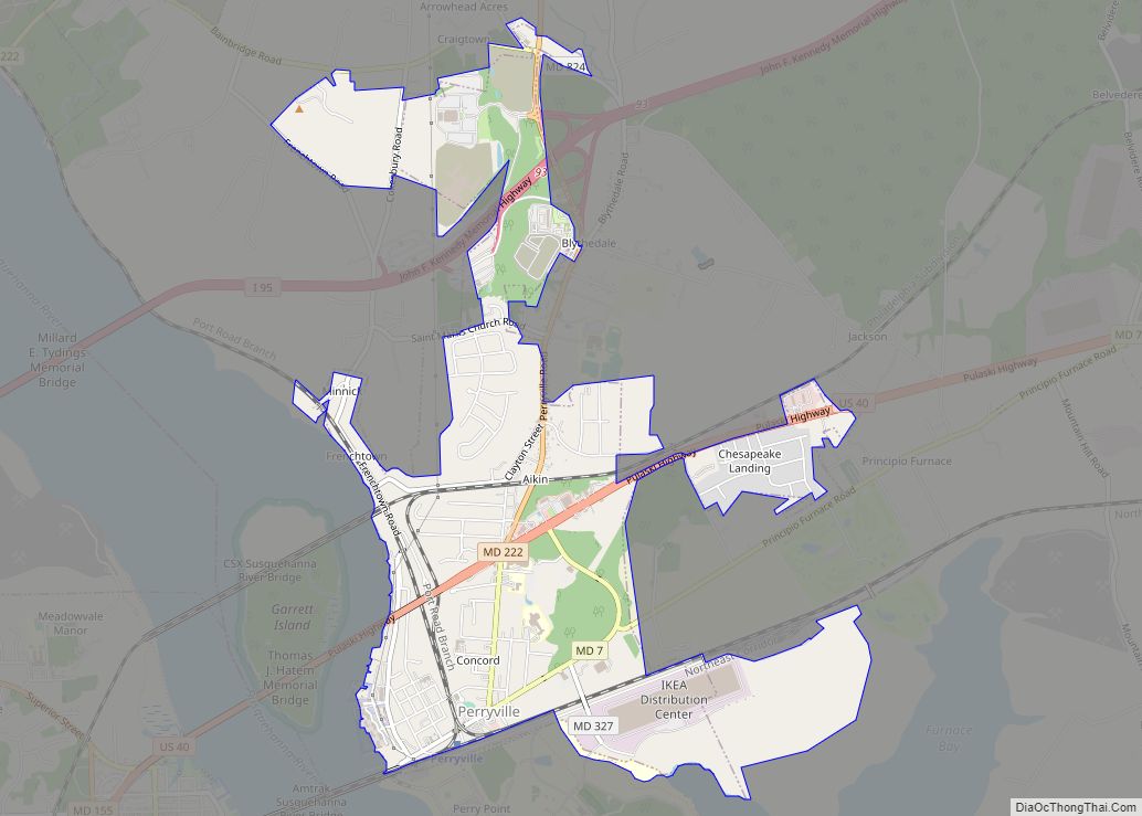
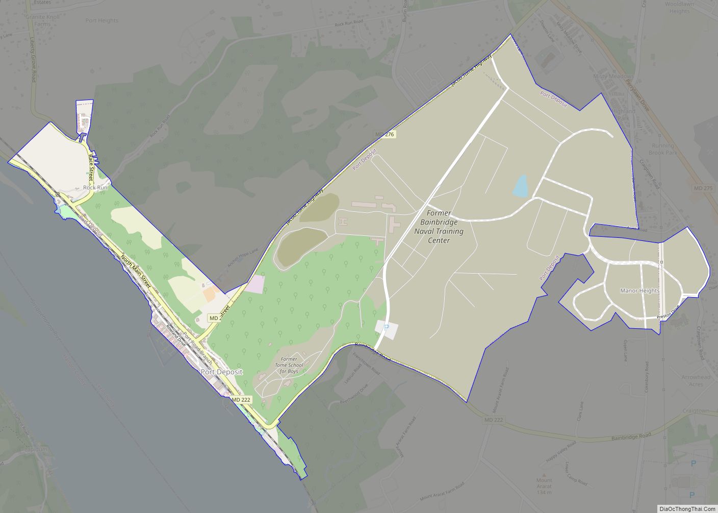
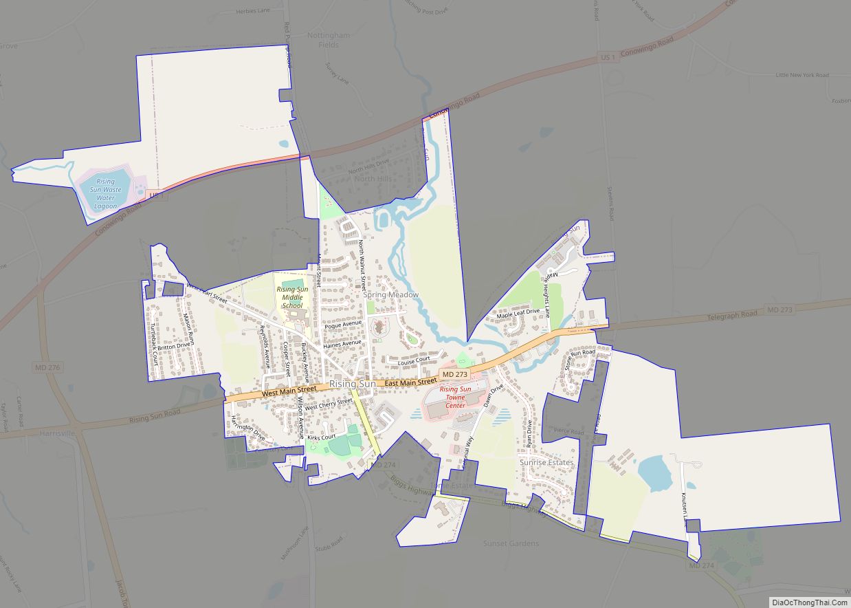
Online Interactive Map
Click on ![]() to view map in "full screen" mode.
to view map in "full screen" mode.
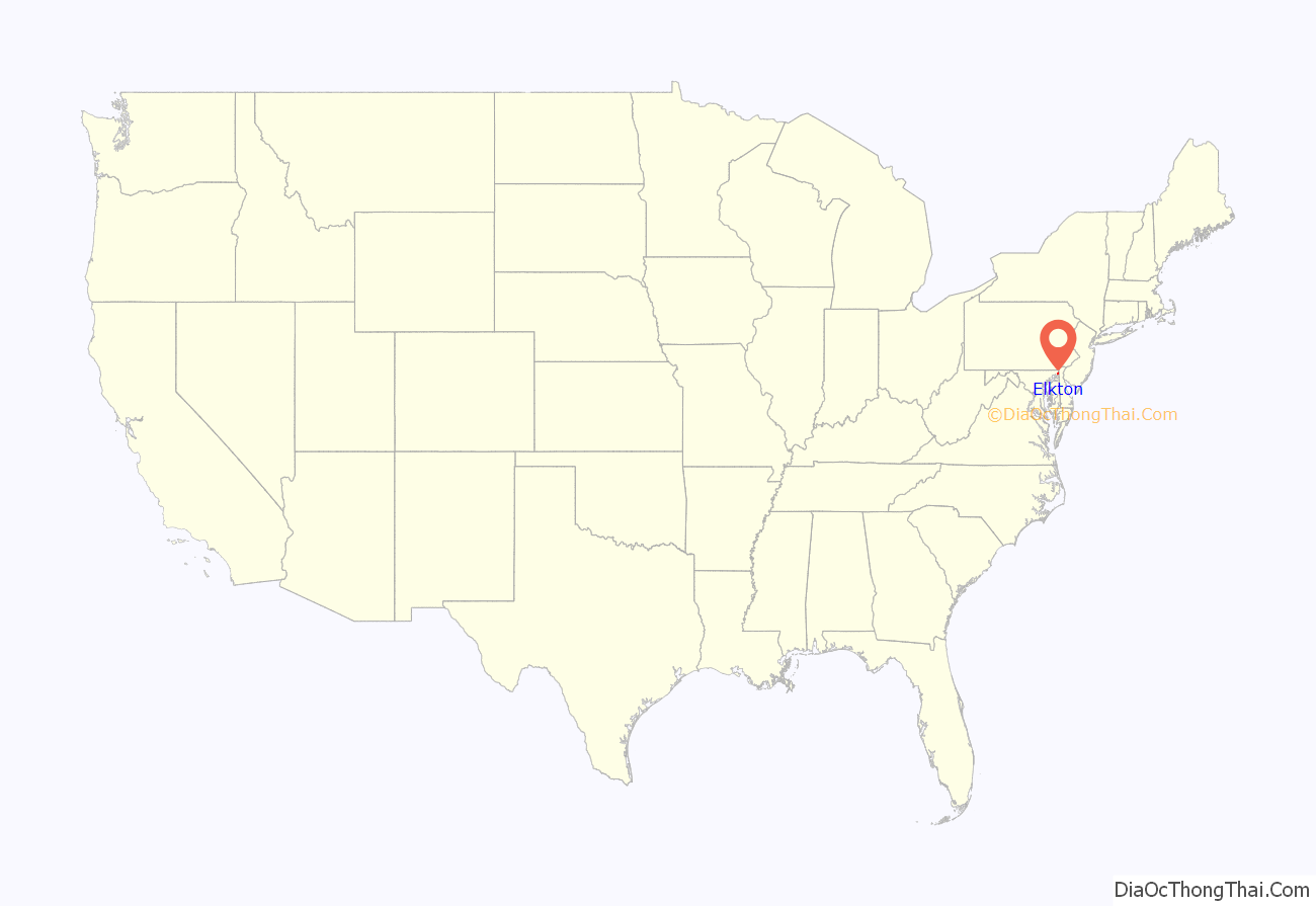
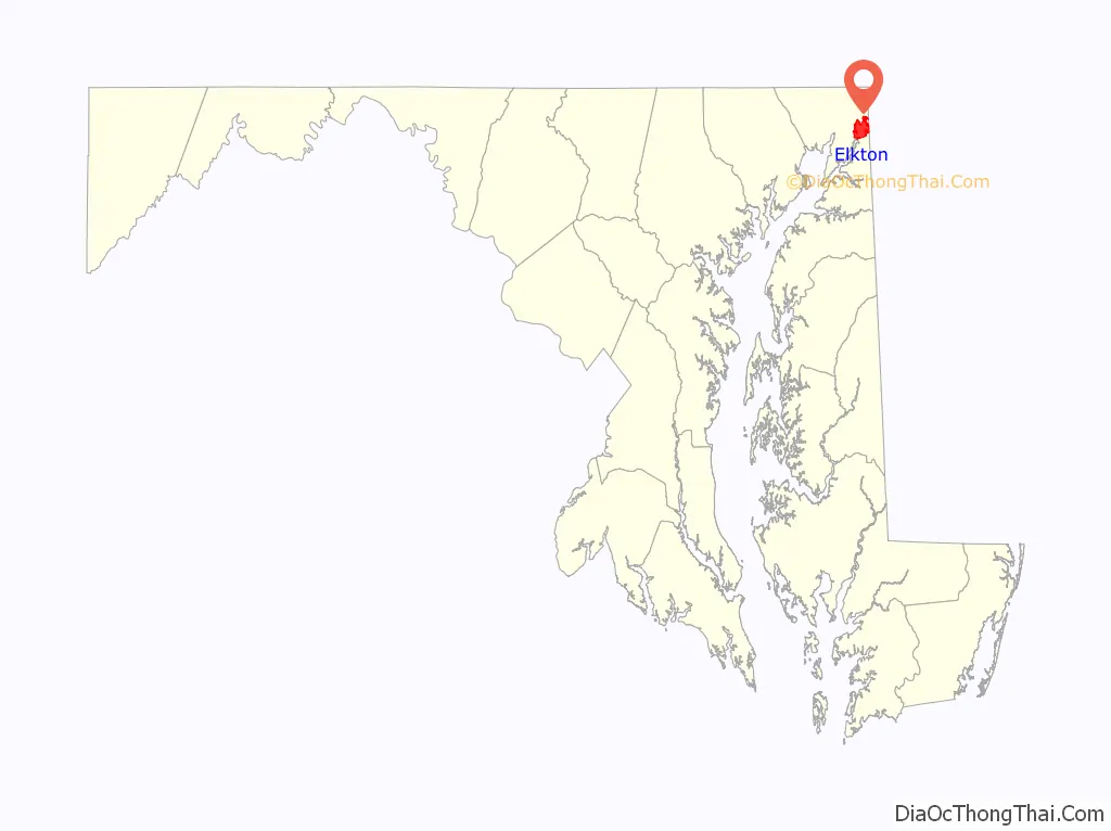
Elkton location map. Where is Elkton town?
History
The town was founded by Swedish mariners and fishermen from Fort Casimir who settled the area in 1694. They called their settlement Head of Elk, as it was the head of navigation of the Elk River.
The town saw several actions during the American Revolutionary War. On August 25, 1777, Sir William Howe’s Anglo-German army (13,000 British soldiers and 5,000 Germans) landed on the Elk River and marched 11 miles north to Head of Elk. Howe soon advanced to the short and victorious campaign of the Brandywine, and thence to the capture of Philadelphia. On March 8, 1781, the Marquis de Lafayette embarked his troops there to attempt a capture of Benedict Arnold. Returning on April 9, he began his overland march to Virginia. George Washington and Rochambeau with their combined forces stopped in Elkton on September 6–7, 1781, on their way to Yorktown.
In 1787, the town was incorporated as Elkton. By 1880, the population was 1,752.
The landmark historic home, Holly Hall was built by James Sewall in the 1810s and quickly became a regional seat for important dignitaries and local politics.
When northern states began to pass more restrictive marriage laws in the early 20th century, Maryland did not. As a result, a number of Maryland towns near borders with other states became known as places to get married quickly and without many restrictions, or “Gretna Greens”. Elkton, being the northeastern most county seat in Maryland (and thus closer to Philadelphia, New York, and New England), was particularly popular. It was a notorious Gretna Green for years; in its heyday, in the 1920s and 1930s, it was “the elopement capital of the East Coast” and thousands of marriages were performed there each year. While some of the marriages obtained in Elkton were of celebrities or celebrities-to-be (Cornel Wilde, Joan Fontaine, Debbie Reynolds, Martha Raye, John and Martha Mitchell, Willie Mays, and Pat Robertson all got married in Elkton), the overall tawdry flavor grew to be too much for the state.
A 48-hour waiting period was imposed in 1938, but Elkton continued to be a place to marry, and especially elope; it simply took longer. The year before the Maryland Legislature enacted a 48-hour waiting period, the marriage bureau in the town of about 3,300 people issued 16,054 licenses. That number slumped to 4,532 in 1939. Still, the marrying ministers found all sorts of loopholes that allowed the business to continue for decades. The waiting period could be lifted, for instance, if the “mother was expecting,” or if a young man was preparing to go off to war. In 1942, Elkton had about 14,000 marriages.
In time, Las Vegas became the new “American Gretna Green,” although hundreds of people still came to Elkton. But an era faded in the northeastern Maryland county seat when the last commercial wedding chapel closed in 2017.
On December 8, 1963, Pan Am Flight 214 was struck by lightning and crashed near Elkton, taking 81 lives. The crash was listed in the 2005 Guinness World Records as the “Worst Lightning Strike Death Toll.” A small memorial marks the site of this horrifying tragedy, the worst loss of life accident in Maryland. The Boeing 707 had gone down in a cornfield on the eastern edge of the town, and in 1994 a granite memorial was placed at Delancy Road and Wheelhouse Drive. Today the area is a housing development.
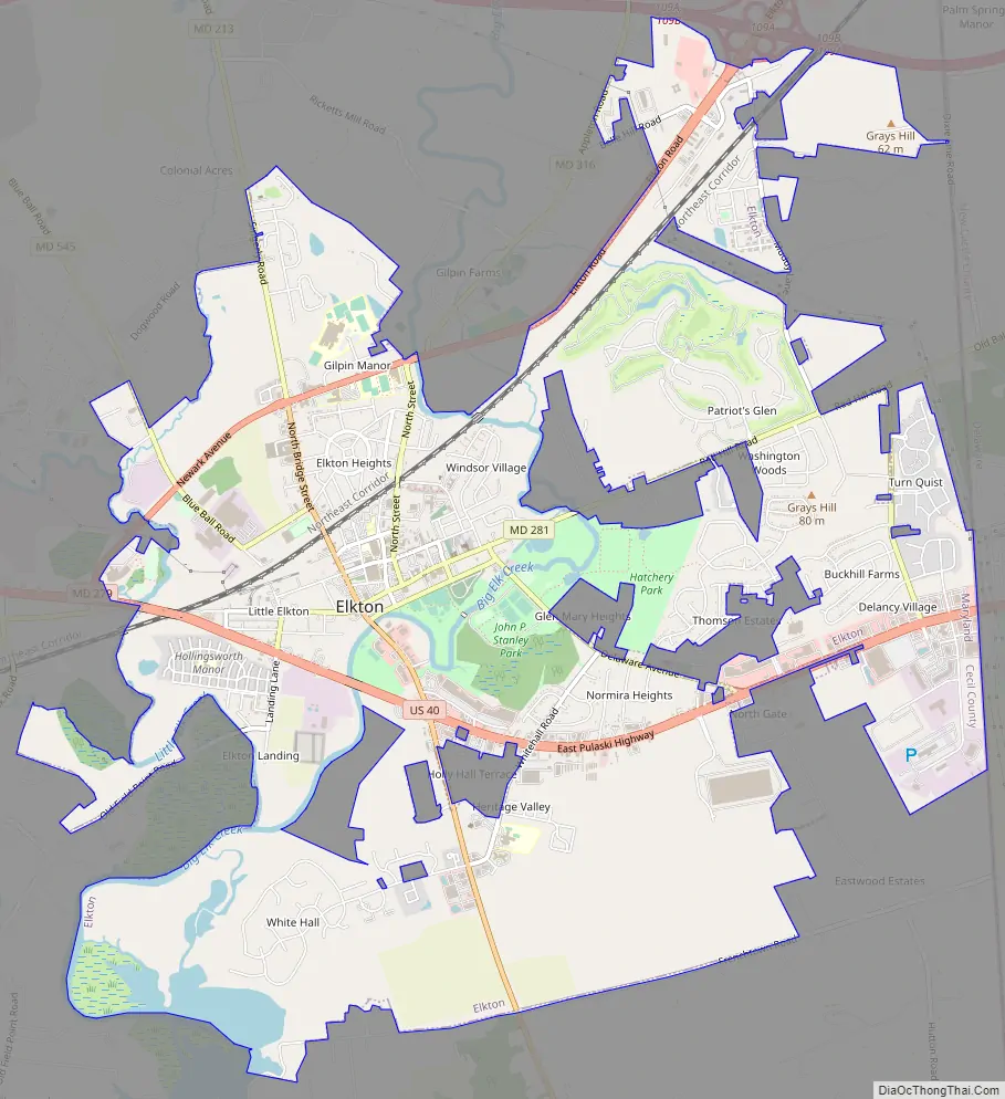
Elkton Road Map
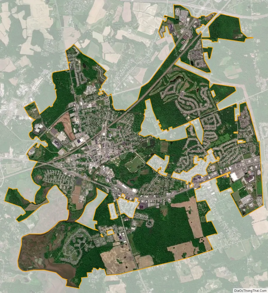
Elkton city Satellite Map
Geography
According to the United States Census Bureau, the town has a total area of 8.61 square miles (22.30 km), of which 8.35 square miles (21.63 km) is land and 0.26 square miles (0.67 km) is water.
Climate
The climate in this area is characterized by hot, humid summers and generally mild to cool winters. According to the Köppen Climate Classification system, Elkton has a humid subtropical climate, abbreviated “Cfa” on climate maps.
See also
Map of Maryland State and its subdivision: Map of other states:- Alabama
- Alaska
- Arizona
- Arkansas
- California
- Colorado
- Connecticut
- Delaware
- District of Columbia
- Florida
- Georgia
- Hawaii
- Idaho
- Illinois
- Indiana
- Iowa
- Kansas
- Kentucky
- Louisiana
- Maine
- Maryland
- Massachusetts
- Michigan
- Minnesota
- Mississippi
- Missouri
- Montana
- Nebraska
- Nevada
- New Hampshire
- New Jersey
- New Mexico
- New York
- North Carolina
- North Dakota
- Ohio
- Oklahoma
- Oregon
- Pennsylvania
- Rhode Island
- South Carolina
- South Dakota
- Tennessee
- Texas
- Utah
- Vermont
- Virginia
- Washington
- West Virginia
- Wisconsin
- Wyoming