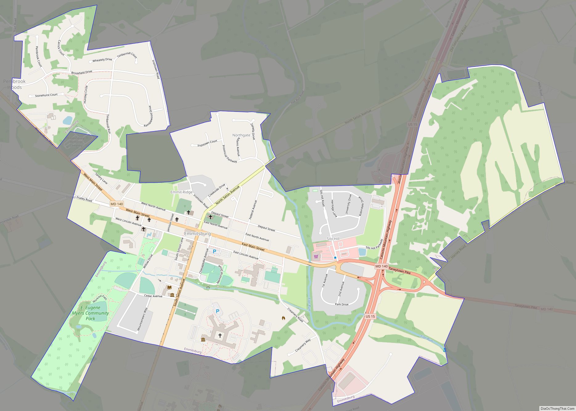
Emmitsburg is a town in Frederick County, Maryland, United States, 0.3 miles (0.5 km) south of the Mason-Dixon line separating Maryland from Pennsylvania. Founded in 1785, Emmitsburg is the home of Mount St. Mary’s University. The town has two Catholic pilgrimage sites: the National Shrine Grotto of Our Lady of Lourdes, which is on the campus ... Read more
Maryland Cities and Places
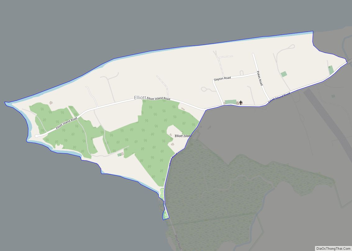
Elliott is an unincorporated community and census-designated place (CDP) in Dorchester County, Maryland, United States. The population was 52 at the 2010 census. Elliott CDP overview: Name: Elliott CDP LSAD Code: 57 LSAD Description: CDP (suffix) State: Maryland County: Dorchester County Elevation: 4 ft (1 m) Total Area: 0.35 sq mi (0.92 km²) Land Area: 0.35 sq mi (0.91 km²) Water Area: 0.00 sq mi ... Read more
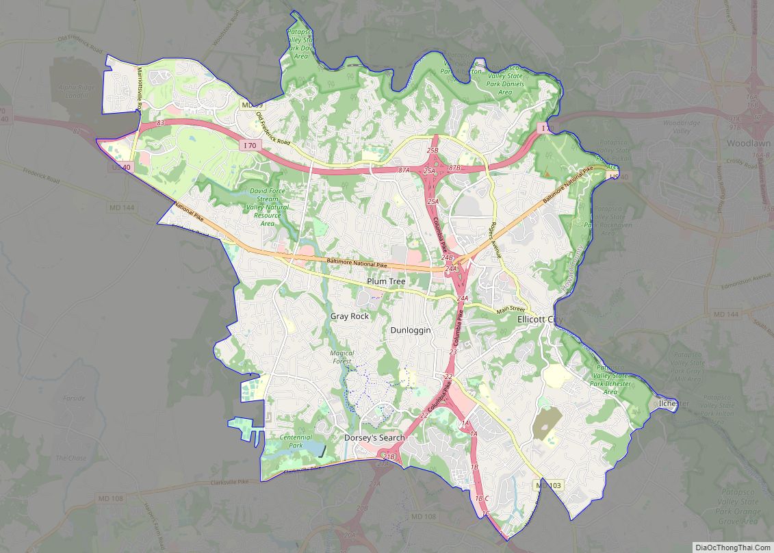
Ellicott City is an unincorporated community and census-designated place in, and the county seat of, Howard County, Maryland, United States. Part of the Baltimore metropolitan area, its population was 65,834 at the 2010 census, making it the most populous unincorporated county seat in the country. Ellicott City’s historic downtown – the Ellicott City Historic District – lies ... Read more
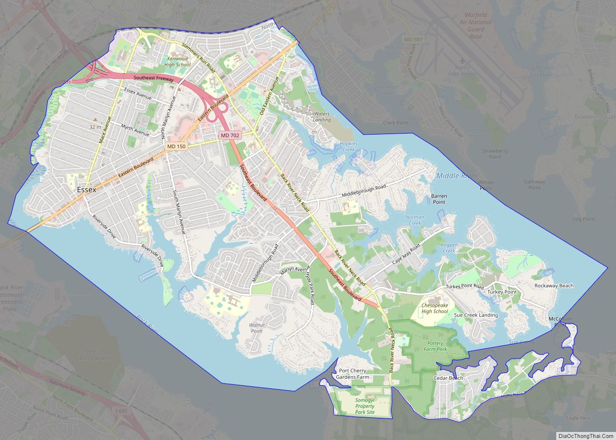
Essex is an unincorporated community and census-designated place in Baltimore County, Maryland, United States. Essex has a long history dating back to 1909. The population was 39,262 at the 2010 census and is growing in population each year. The town hosts beaches, parks, wetlands, a courthouse, and a museum which was once a school, courthouse, ... Read more
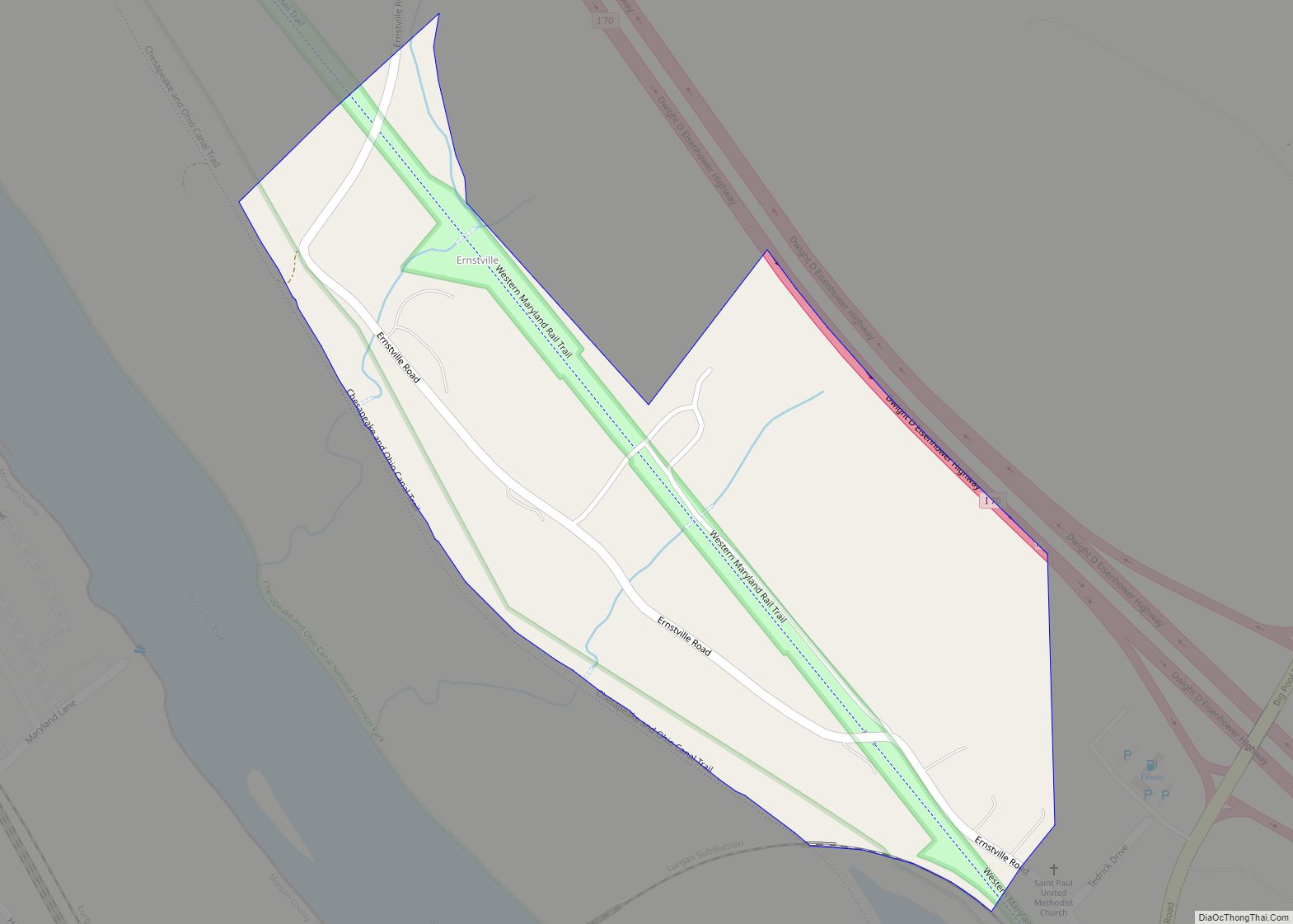
Ernstville is an unincorporated community and census-designated place in Washington County, Maryland, United States. Its population was 56 as of the 2010 census. Ernstville CDP overview: Name: Ernstville CDP LSAD Code: 57 LSAD Description: CDP (suffix) State: Maryland County: Washington County Total Area: 0.15 sq mi (0.39 km²) Land Area: 0.15 sq mi (0.39 km²) Water Area: 0.00 sq mi (0.00 km²) Total Population: ... Read more
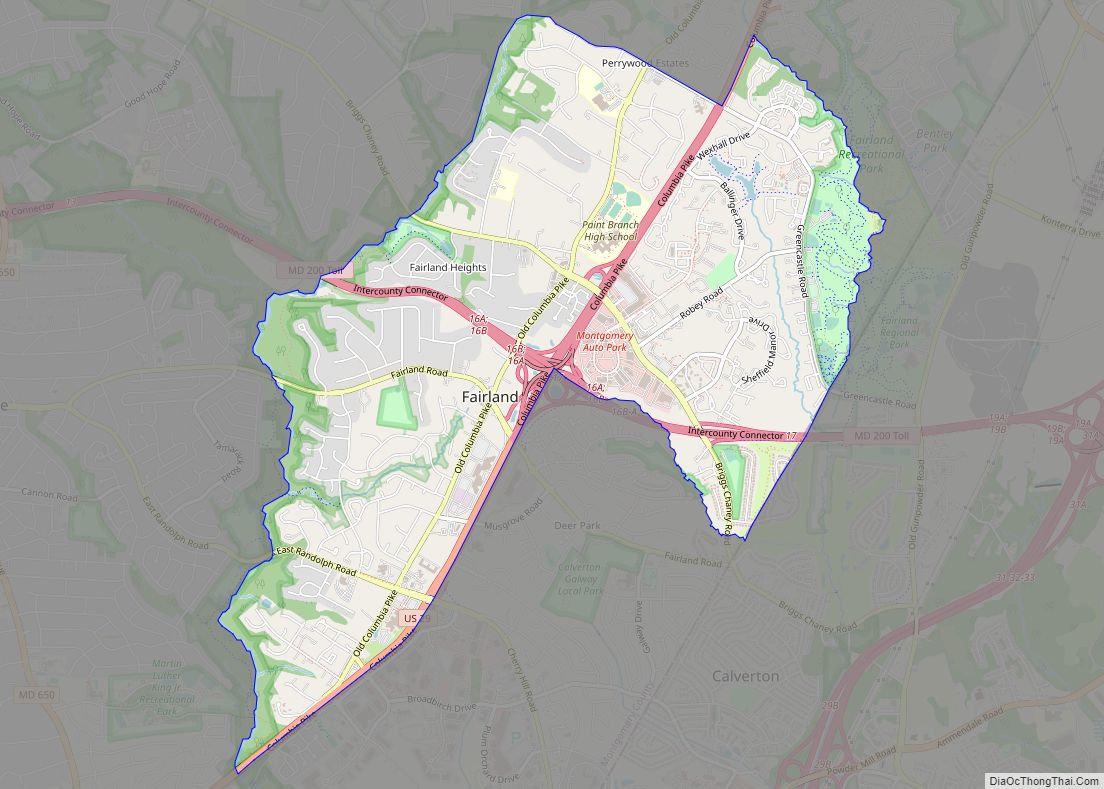
Fairland is a census-designated place and an unincorporated area in Montgomery County, Maryland, United States. It had a population of 25,396 per the 2020 census. Fairland CDP overview: Name: Fairland CDP LSAD Code: 57 LSAD Description: CDP (suffix) State: Maryland County: Montgomery County Elevation: 413 ft (126 m) Total Area: 4.98 sq mi (12.90 km²) Land Area: 4.96 sq mi (12.86 km²) Water ... Read more
Fairmount is a census-designated place (CDP) in Somerset County, Maryland, United States. The population was 537 at the 2000 census. It is included in the Salisbury, Maryland-Delaware Metropolitan Statistical Area. Fairmount CDP overview: Name: Fairmount CDP LSAD Code: 57 LSAD Description: CDP (suffix) State: Maryland County: Somerset County Elevation: 3 ft (1 m) Total Area: 17.11 sq mi (44.33 km²) ... Read more
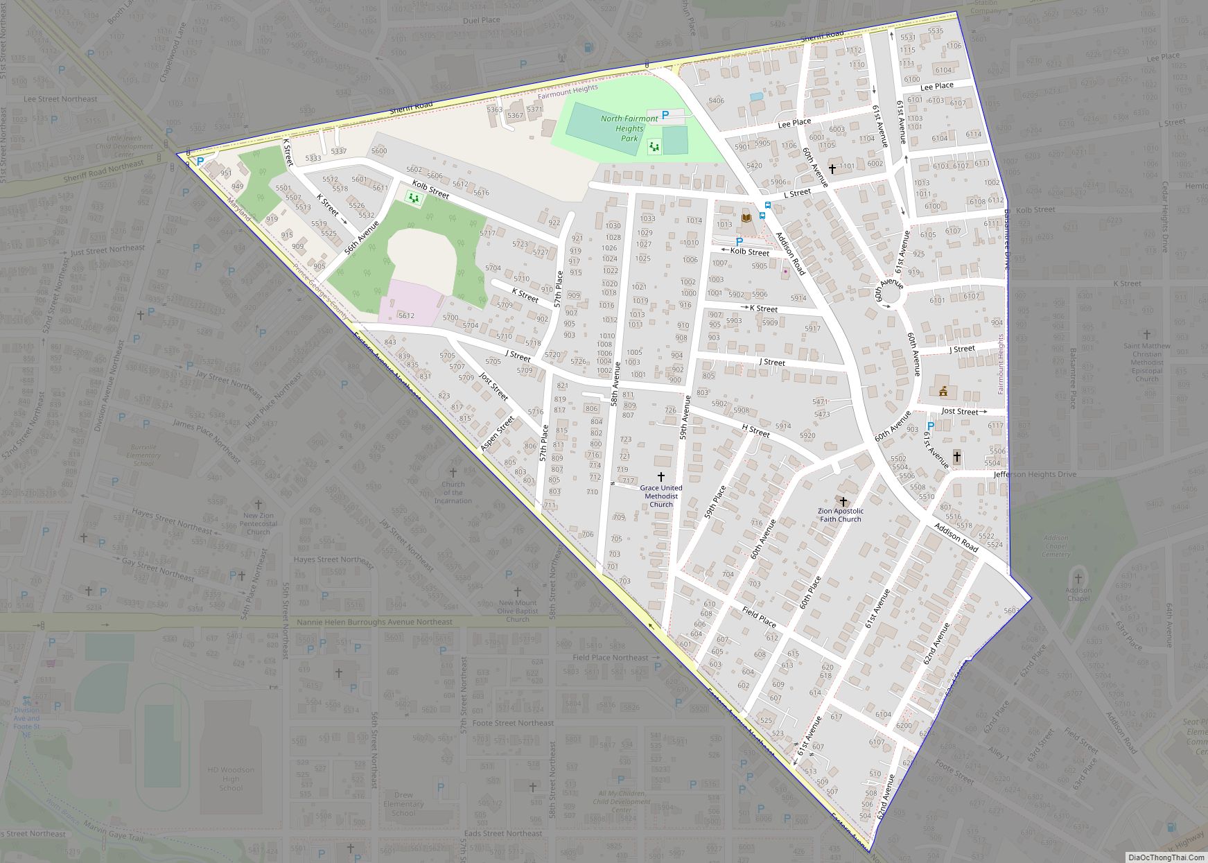
Fairmount Heights is a town in Prince George’s County, Maryland, United States. Per the 2020 census, the population was 1,528. The town was formally incorporated in 1935, making the town the second oldest African-American-majority municipality in Prince George’s County. The town is composed of six subdivisions: Fairmount Heights (1900), Waterford (1907), Mount Weissner (1909), North ... Read more
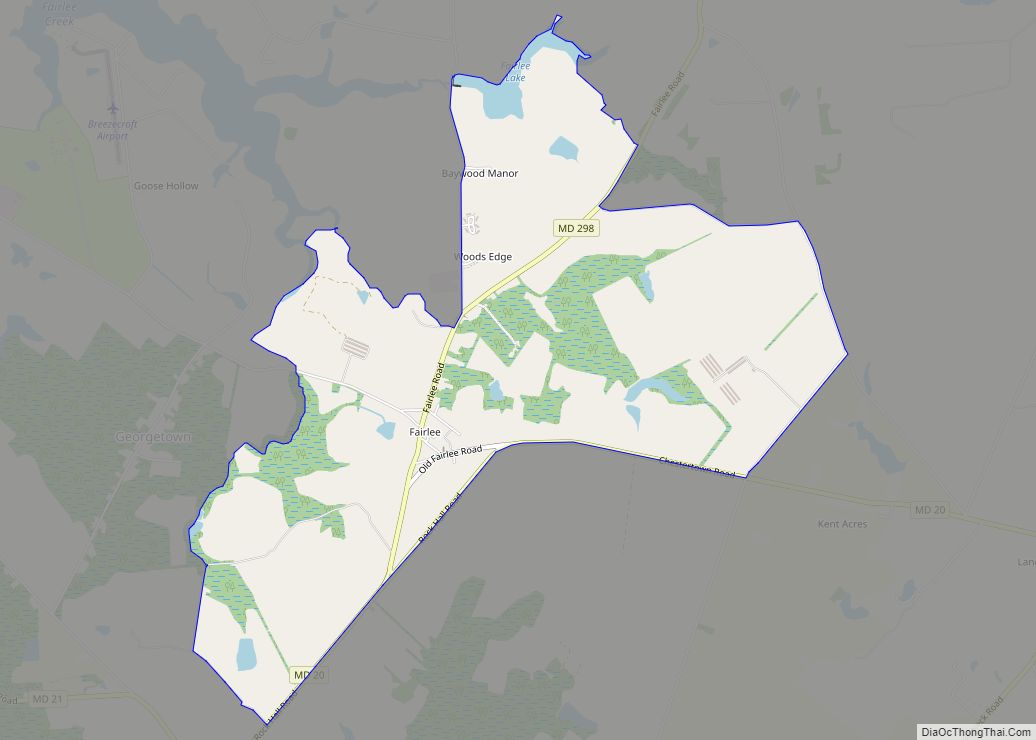
Fairlee is an unincorporated community and census-designated place in Kent County, Maryland, United States. Its population was 490 as of the 2010 census. The Battle of Caulk’s Field during the War of 1812 took place near Fairlee on August 31, 1814; it ended in victory for the local militia, and the British commander was killed ... Read more
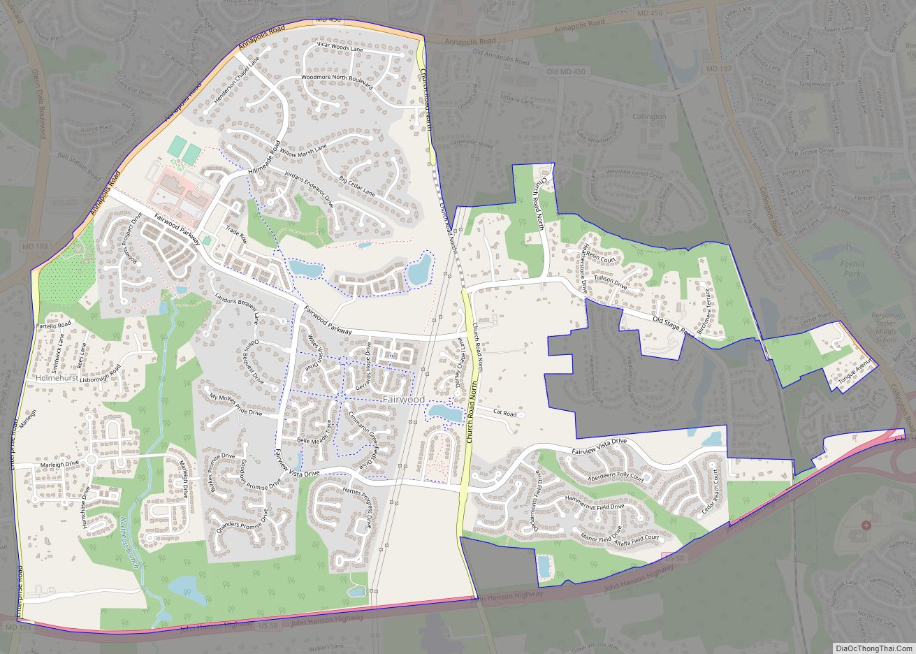
Fairwood is an unincorporated area and census-designated place (CDP) in Prince George’s County, Maryland, United States. The population was 7,983 at the 2020 census. Fairwood CDP overview: Name: Fairwood CDP LSAD Code: 57 LSAD Description: CDP (suffix) State: Maryland County: Prince George’s County Elevation: 36 ft (11 m) Total Area: 3.42 sq mi (8.85 km²) Land Area: 3.41 sq mi (8.84 km²) Water ... Read more
Fairview is an unincorporated community and census-designated place in Washington County, Maryland, United States. Its population was 76 as of the 2010 census. Fairview CDP overview: Name: Fairview CDP LSAD Code: 57 LSAD Description: CDP (suffix) State: Maryland County: Washington County Elevation: 495 ft (151 m) Total Area: 0.21 sq mi (0.54 km²) Land Area: 0.21 sq mi (0.54 km²) Water Area: 0.00 sq mi ... Read more
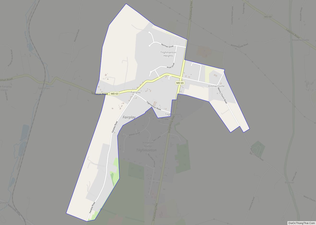
Fairplay is an unincorporated community and census-designated place (CDP) in Washington County, Maryland, United States. Its population was 580 as of the 2010 census. It is sometimes recognized, along with neighboring Tilghmanton, as Fairplay-Tilghmanton; the two communities share a post office as well as a fire company. Fairplay is located between Hagerstown and Sharpsburg, along ... Read more
