Emmitsburg is a town in Frederick County, Maryland, United States, 0.3 miles (0.5 km) south of the Mason-Dixon line separating Maryland from Pennsylvania.
Founded in 1785, Emmitsburg is the home of Mount St. Mary’s University. The town has two Catholic pilgrimage sites: the National Shrine Grotto of Our Lady of Lourdes, which is on the campus of Mount St. Mary’s, and the Basilica and National Shrine of St. Elizabeth Ann Seton, who was the first native-born United States citizen to be canonized as a saint. The Seton Shrine is one of the top eight Catholic pilgrimage destinations in the United States.
The National Emergency Training Center (NETC) campus is in Emmitsburg, located on the former campus of Saint Joseph College. The campus includes the Emergency Management Institute, the National Fire Academy and the National Fallen Firefighters Memorial.
The population as of the 2010 U.S Census was 2,814.
Emmitsburg is home to three Cal Ripken Baseball 12U 46/60 baseball championships. The titles were won in consecutive years (2013, 2014, and 2015). For years, the youth baseball and softball league was the gold standard in the Catoctin area.
The current mayor of Emmitsburg is Don Briggs. The current commissioners are Frank Davis, T. J. Burns, Tim O’Donnell, Joseph Ritz III and Cliff Sweeney.
| Name: | Emmitsburg town |
|---|---|
| LSAD Code: | 43 |
| LSAD Description: | town (suffix) |
| State: | Maryland |
| County: | Frederick County |
| Founded: | 1785 |
| Incorporated: | 1825 |
| Elevation: | 436 ft (133 m) |
| Total Area: | 1.64 sq mi (4.24 km²) |
| Land Area: | 1.62 sq mi (4.19 km²) |
| Water Area: | 0.02 sq mi (0.05 km²) |
| Total Population: | 2,770 |
| Population Density: | 1,713.05/sq mi (661.46/km²) |
| ZIP code: | 21727 |
| Area code: | 301, 240 |
| FIPS code: | 2426200 |
| GNISfeature ID: | 0584300 |
| Website: | www.emmitsburgmd.gov |
Online Interactive Map
Click on ![]() to view map in "full screen" mode.
to view map in "full screen" mode.
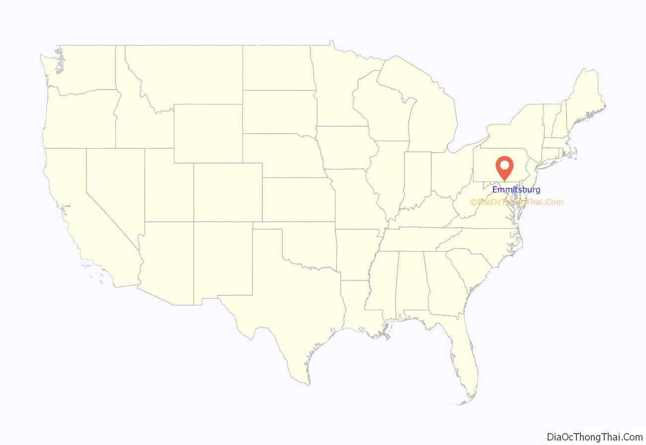
Emmitsburg location map. Where is Emmitsburg town?

History
Emmitsburg was named for its founder, William Emmit, in 1785. However, a settlement (named first “Silver Fancy” and later “Poplar Fields”) preceded the town, particularly since British authorities restricted colonists’ expansion during and after the French and Indian War.
In 1757 Lutherans led by pastor George Bager built a church, which they shared with a German Reformed congregation until 1798. After the American Revolutionary War, Catholic missionary Rev. Jean Dubois established a mission church, then a seminary, at Emmitsburg. Later Elizabeth Ann Seton established a convent, with a school and hospital. Soon, the number of Methodists in Emmitsburg led to the formation of a circuit around town, rather than share a minister with Gettysburg, Pennsylvania.
The Union fortified Emmitsburg to stop the Confederate invasion of the Union territory in June 1863 during the American Civil War. Half the town was burned to the ground in a mysterious fire on the night of June 23. Folklore has it that “The Great Fire”, as it was known, was started by a Union sympathizer to prevent advancing Confederates from taking supplies from the town. However fate spared the town a battle between the opposing forces, which instead took place 12 miles north of it in Pennsylvania near the town of Gettysburg. The town was briefly held by the retreating Confederates on July 4.
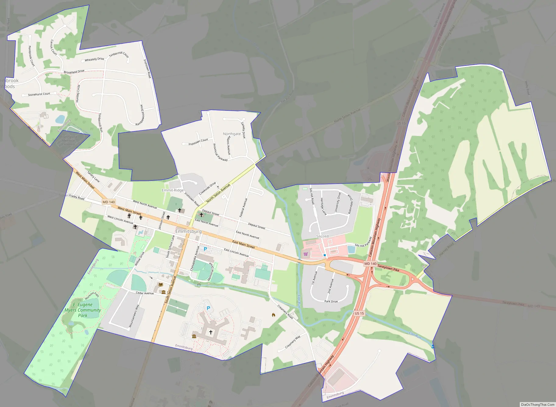
Emmitsburg Road Map
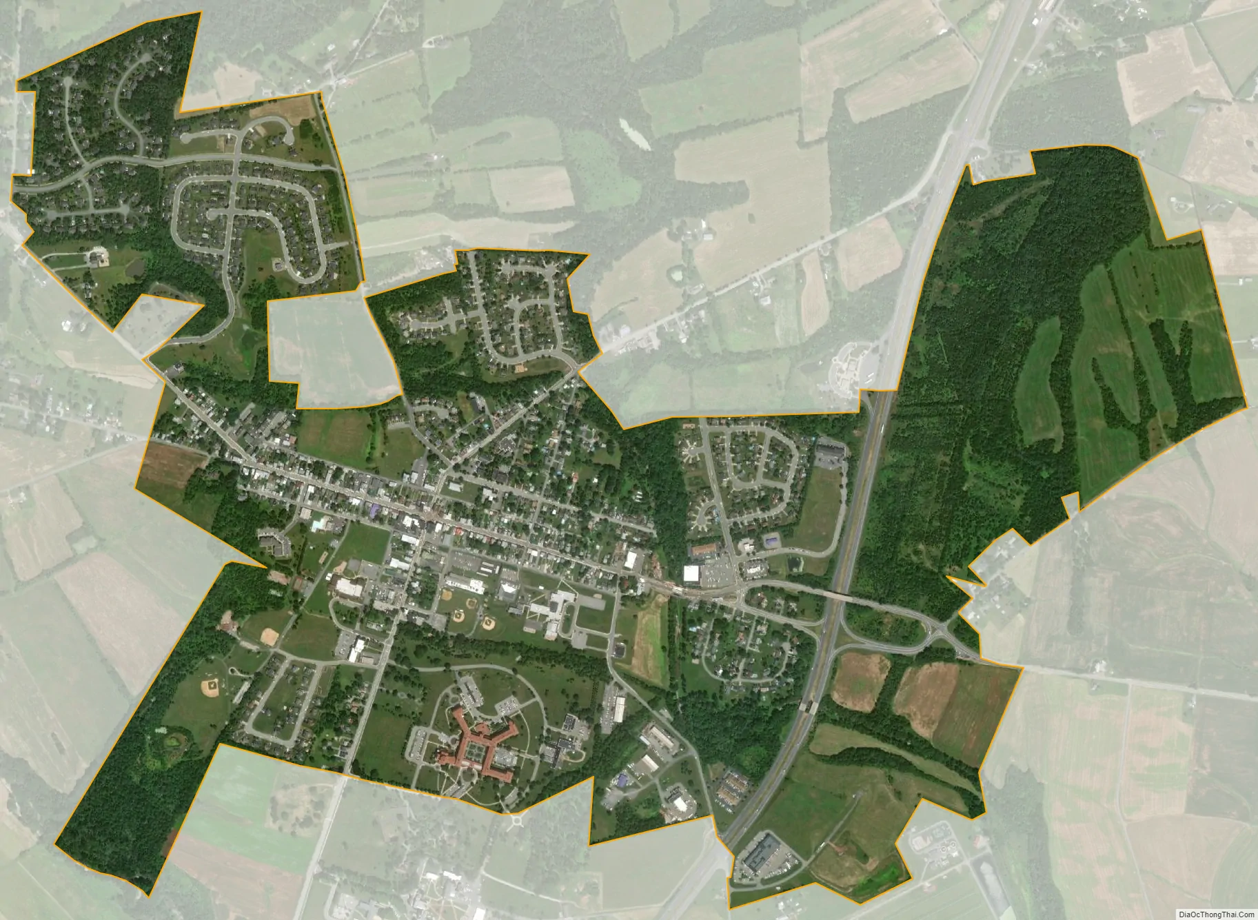
Emmitsburg city Satellite Map
Geography
Emmitsburg is located at 39°42′17″N 77°19′31″W / 39.70472°N 77.32528°W / 39.70472; -77.32528 (39.704697, −77.325294).
According to the United States Census Bureau, the town has a total area of 1.52 square miles (3.94 km), all land.
Climate
Emmitsburg has a humid continental climate (Köppen Dfa) with hot, humid summers and moderately cold winters. It is known for being located near the base of Catoctin Mountain.
See also
Map of Maryland State and its subdivision: Map of other states:- Alabama
- Alaska
- Arizona
- Arkansas
- California
- Colorado
- Connecticut
- Delaware
- District of Columbia
- Florida
- Georgia
- Hawaii
- Idaho
- Illinois
- Indiana
- Iowa
- Kansas
- Kentucky
- Louisiana
- Maine
- Maryland
- Massachusetts
- Michigan
- Minnesota
- Mississippi
- Missouri
- Montana
- Nebraska
- Nevada
- New Hampshire
- New Jersey
- New Mexico
- New York
- North Carolina
- North Dakota
- Ohio
- Oklahoma
- Oregon
- Pennsylvania
- Rhode Island
- South Carolina
- South Dakota
- Tennessee
- Texas
- Utah
- Vermont
- Virginia
- Washington
- West Virginia
- Wisconsin
- Wyoming


