Map of Millington town, Maryland

Map of Millington town, Maryland

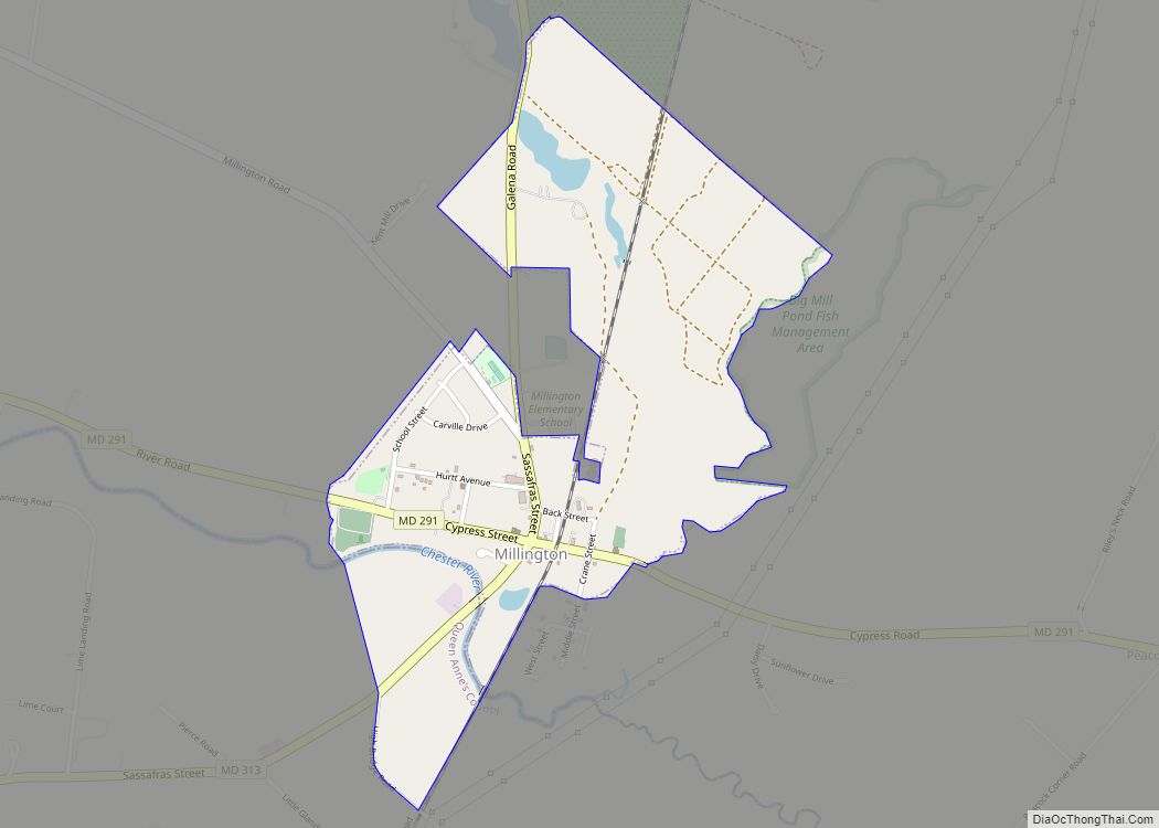
Millington is a town in Kent and Queen Anne’s counties in the U.S. state of Maryland. The population was 642 at the 2010 census. Millington is the head of navigation for the Chester River. Millington town overview: Name: Millington town LSAD Code: 43 LSAD Description: town (suffix) State: Maryland County: Kent County, Queen Anne’s County … Read more

Map of Milford Mill CDP

Map of Milford Mill CDP

Milford Mill is an unincorporated community and census-designated place in Baltimore County, Maryland, United States. Per the 2020 census, the population was 30,622. According to the United States Census Bureau, the CDP has a total area of 7.0 square miles (18 km), all of it land. The true name of the area is “Milford”, but the … Read more

Map of Midlothian CDP, Maryland

Map of Midlothian CDP, Maryland

Midlothian is an unincorporated community and census-designated place (CDP) in Allegany County, Maryland, United States; at one time it was called Midlothian Junction. As of the 2010 census it had a population of 320. Its ZIP code is 21543. Midlothian is located 2 miles (3 km) southwest of Frostburg and is adjacent to Exit 33 of … Read more

Map of Montgomery Village CDP

Map of Montgomery Village CDP

Montgomery Village is a census-designated place (CDP) in Montgomery County, Maryland, United States, and a northern suburb of Washington, D.C. It is a large, planned suburban community, developed in the late 1960s and 1970s just outside Gaithersburg‘s city limits. Montgomery Village’s population was 34,893 at the time of the 2020 U.S. Census, and it is … Read more

Map of Monrovia CDP, Maryland

Map of Monrovia CDP, Maryland

Monrovia is an unincorporated community and census-designated place (CDP) in Frederick County, in the U.S. state of Maryland. As of the 2020 census it had a population of 2,702. The ZIP code for the area is 21770. Monrovia CDP overview: Name: Monrovia CDP LSAD Code: 57 LSAD Description: CDP (suffix) State: Maryland County: Frederick County … Read more

Map of Mitchellville CDP, Maryland

Map of Mitchellville CDP, Maryland

Mitchellville is an upper-class majority African-American unincorporated area and census-designated place (CDP) in Prince George’s County, Maryland, United States. Per the 2020 census, the population was 11,136. Mitchellville CDP overview: Name: Mitchellville CDP LSAD Code: 57 LSAD Description: CDP (suffix) State: Maryland County: Prince George’s County Elevation: 105 ft (32 m) Total Area: 4.96 sq mi (12.84 km²) Land Area: … Read more

Map of Mount Aetna CDP

Map of Mount Aetna CDP, Maryland

Mount Aetna is a census-designated place (CDP) in Washington County, Maryland, United States. The population was 838 at the 2000 census. Mount Aetna CDP overview: Name: Mount Aetna CDP LSAD Code: 57 LSAD Description: CDP (suffix) State: Maryland County: Washington County Elevation: 535 ft (163 m) Total Area: 1.41 sq mi (3.66 km²) Land Area: 1.41 sq mi (3.66 km²) Water Area: 0.00 sq mi … Read more

Map of Moscow CDP, Maryland

Map of Moscow CDP, Maryland

Moscow is an unincorporated community and census-designated place (CDP) in Allegany County, Maryland, United States. As of the 2010 census it had a population of 240. Moscow is located in the Georges Creek Valley of western Allegany County, 11 miles (18 km) southwest of Frostburg and 6 miles (10 km) northeast of Westernport. Moscow CDP overview: Name: … Read more

Map of Morningside town

Map of Morningside town, Maryland

Morningside is an incorporated town in Prince George’s County, Maryland, United States. Per the 2020 census, the population was 1,240. The town developed with the establishment of nearby Andrews Air Force Base and the federal Census Bureau. The government of the town is led by a mayor and town council. Morningside Elementary School and Benjamin … Read more

Map of Mount Briar CDP

Map of Mount Briar CDP

Mount Briar is an unincorporated community and census-designated place in Washington County, Maryland, United States. Its population was 160 as of the 2010 census. Mount Briar CDP overview: Name: Mount Briar CDP LSAD Code: 57 LSAD Description: CDP (suffix) State: Maryland County: Washington County Total Area: 0.62 sq mi (1.61 km²) Land Area: 0.62 sq mi (1.61 km²) Water Area: 0.00 sq mi … Read more

Map of Mount Airy town, Maryland

Map of Mount Airy town, Maryland

Mount Airy is a town in Carroll and Frederick counties in the U.S. state of Maryland. It is part of both the Washington Metropolitan Area and Baltimore Metropolitan Area. As of the 2010 census the population was 9,288. Outside the town limits, the surrounding countryside is colloquially referred to as Mount Airy or the “Four-County … Read more

Map of Mount Lena CDP

Map of Mount Lena CDP

Mount Lena is a census-designated place (CDP) in Washington County, Maryland, United States. The population was 501 at the 2000 census. Mount Lena CDP overview: Name: Mount Lena CDP LSAD Code: 57 LSAD Description: CDP (suffix) State: Maryland County: Washington County Elevation: 597 ft (182 m) Total Area: 1.25 sq mi (3.25 km²) Land Area: 1.25 sq mi (3.25 km²) Water Area: 0.00 sq mi … Read more