Map of Pleasant Hills CDP

Map of Pleasant Hills CDP, Maryland

Pleasant Hills is a census-designated place (CDP) in Harford County, Maryland, United States. The population was 3,379 at the 2010 census, up from 2,851 in 2000. There is no post office with the designation “Pleasant Hills”; most of the residents have either Fallston or Kingsville addresses and consider themselves as belonging to those communities. Pleasant … Read more

Map of Pleasant Grove CDP, Maryland

Map of Pleasant Grove CDP, Maryland

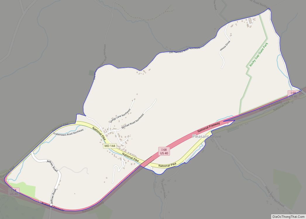
Pleasant Grove is a census-designated place (CDP) in Allegany County, Maryland, United States. As of the 2010 census it had a population of 353. Pleasant Grove is located east of Cumberland along Maryland Route 144 (Baltimore Pike), the old alignment of U.S. Route 40. Interstate 68, the new highway alignment, also runs through the CDP, … Read more

Map of Pittsville town

Map of Pittsville town, Maryland

Pittsville is a town in Wicomico County, Maryland, United States. The population was 1,417 at the 2010 census. It is included in the Salisbury, Maryland-Delaware Metropolitan Statistical Area. Pittsville town overview: Name: Pittsville town LSAD Code: 43 LSAD Description: town (suffix) State: Maryland County: Wicomico County Incorporated: 1906 Elevation: 52 ft (16 m) Total Area: 1.56 sq mi (4.04 km²) … Read more

Map of Pomfret CDP

Map of Pomfret CDP

Pomfret is a census-designated place in Charles County, Maryland, United States. As of the 2020 census, it had a population of 514. There are five properties in the area that are on the National Register of Historic Places. The origins of the settlement go back to at least 1666. Pomfret is located in central Charles … Read more

Map of Point of Rocks CDP

Map of Point of Rocks CDP, Maryland

Point of Rocks is an unincorporated community and census-designated place (CDP) in Frederick County, Maryland, United States. As of the 2010 census it had a population of 1,466. It is named for the striking rock formation on the adjacent Catoctin Mountain, which was formed by the Potomac River cutting through the ridge in a water … Read more

Map of Pocomoke City city

Map of Pocomoke City

Pocomoke City, dubbed “the friendliest town on the Eastern Shore”, is a city in Worcester County, Maryland, United States. Although renamed in a burst of civic enthusiasm in 1878, the city is regularly referred to by its inhabitants simply as Pocomoke /ˈpoʊkoʊmoʊk/. The population was 4,184 at the 2010 census. It is part of the … Read more

Map of Port Deposit town

Map of Port Deposit town

Port Deposit is a town in Cecil County, Maryland, United States. It is located on the east bank of the Susquehanna River near its discharge into the Chesapeake Bay. The population was 653 at the 2010 census. Port Deposit town overview: Name: Port Deposit town LSAD Code: 43 LSAD Description: town (suffix) State: Maryland County: … Read more

Map of Poolesville town

Map of Poolesville town

Poolesville is a U.S. town in the western portion of Montgomery County, Maryland. The population was 5,742 at the 2020 United States Census. It is surrounded by (but is technically not part of) the Montgomery County Agricultural Reserve, and is considered a distant bedroom community for commuters to Washington, D.C. The name of the town … Read more

Map of Pondsville CDP

Map of Pondsville CDP

Pondsville is an unincorporated community and census-designated place in Washington County, Maryland, United States. Its population was 158 as of the 2010 census. Pondsville CDP overview: Name: Pondsville CDP LSAD Code: 57 LSAD Description: CDP (suffix) State: Maryland County: Washington County Total Area: 0.31 sq mi (0.80 km²) Land Area: 0.31 sq mi (0.80 km²) Water Area: 0.00 sq mi (0.00 km²) Total Population: … Read more

Map of Potomac Park CDP

Map of Potomac Park CDP

Potomac Park (listen (help·info)) is an unincorporated subdivision and census-designated place (CDP) located on the North Branch Potomac River in Allegany County, Maryland, United States. As of the 2010 census, it had a population of 2,530. Potomac Park lies along U.S. Route 220 (McMullen Highway) between Cresaptown and Cumberland. The CDP of Bowling Green is immediately … Read more

Map of Potomac Heights CDP

Map of Potomac Heights CDP

Potomac Heights is a census-designated place (CDP) in Charles County, Maryland, United States. The population was 1,117 at the 2010 census. It has a volunteer fire department and numerous older rambler homes built for workers at the nearby U.S. Navy munitions plant in Indian Head (now known as the Indian Head Naval Surface Warfare Center). … Read more

Map of Port Tobacco Village town

Map of Port Tobacco Village town

Port Tobacco, officially Port Tobacco Village, is a town in Charles County, in southern Maryland, United States. The population was 13 at the 2010 census, making Port Tobacco the smallest incorporated town in Maryland. Port Tobacco Village town overview: Name: Port Tobacco Village town LSAD Code: 43 LSAD Description: town (suffix) State: Maryland County: Charles … Read more