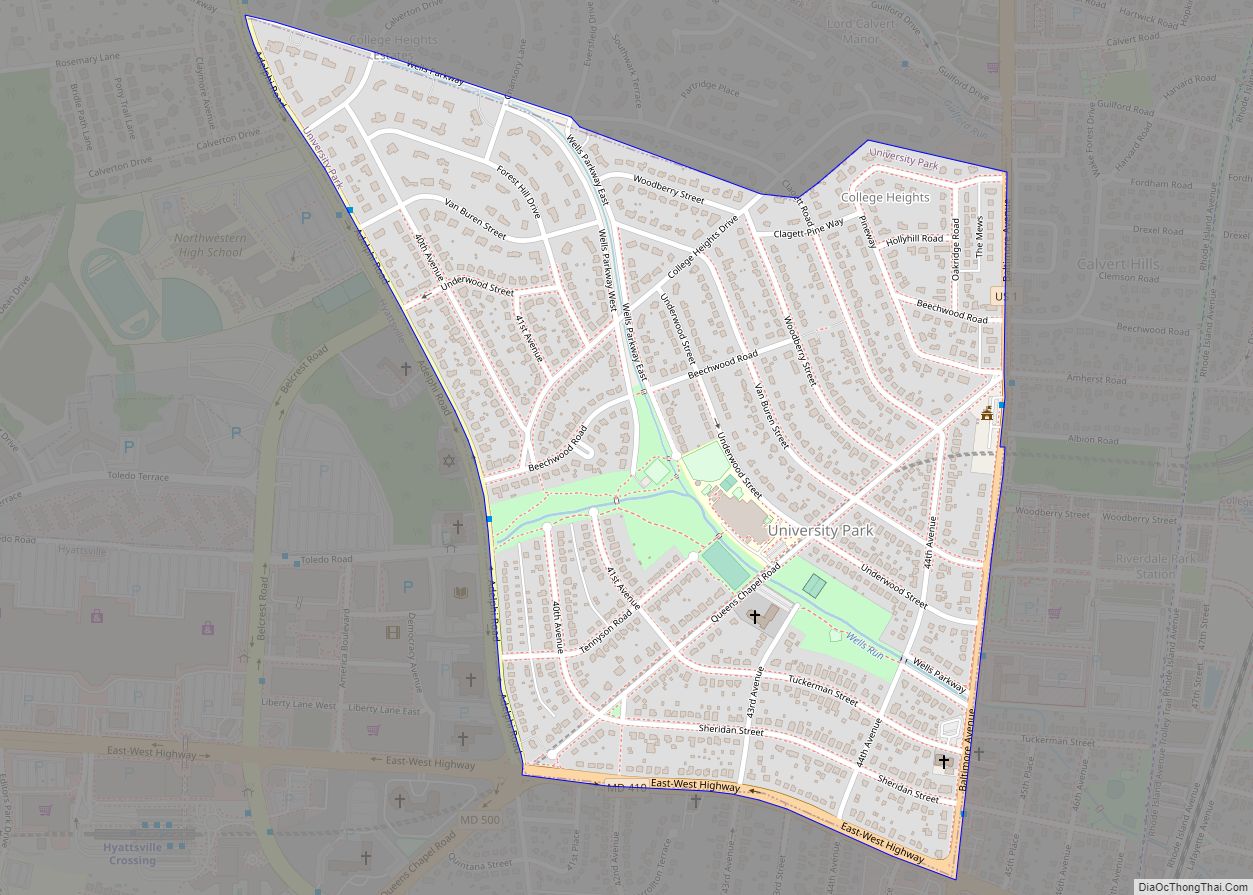
University Park is a town in Prince George’s County, Maryland, United States. The population was 2,548 at the 2010 census. University Park town overview: Name: University Park town LSAD Code: 43 LSAD Description: town (suffix) State: Maryland County: Prince George’s County Incorporated: 1936 Elevation: 72 ft (22 m) Total Area: 0.50 sq mi (1.30 km²) Land Area: 0.50 sq mi (1.30 km²) Water ... Read more
Maryland Cities and Places
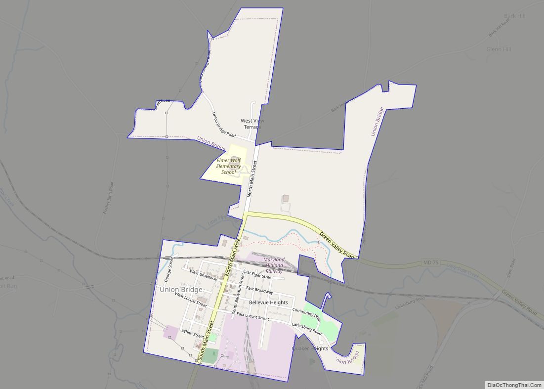
Union Bridge is a town in Carroll County, Maryland, United States. The population was 936 at the 2020 census. Much of the town was added to the National Register of Historic Places as the Union Bridge Historic District in 1994. Union Bridge town overview: Name: Union Bridge town LSAD Code: 43 LSAD Description: town (suffix) ... Read more
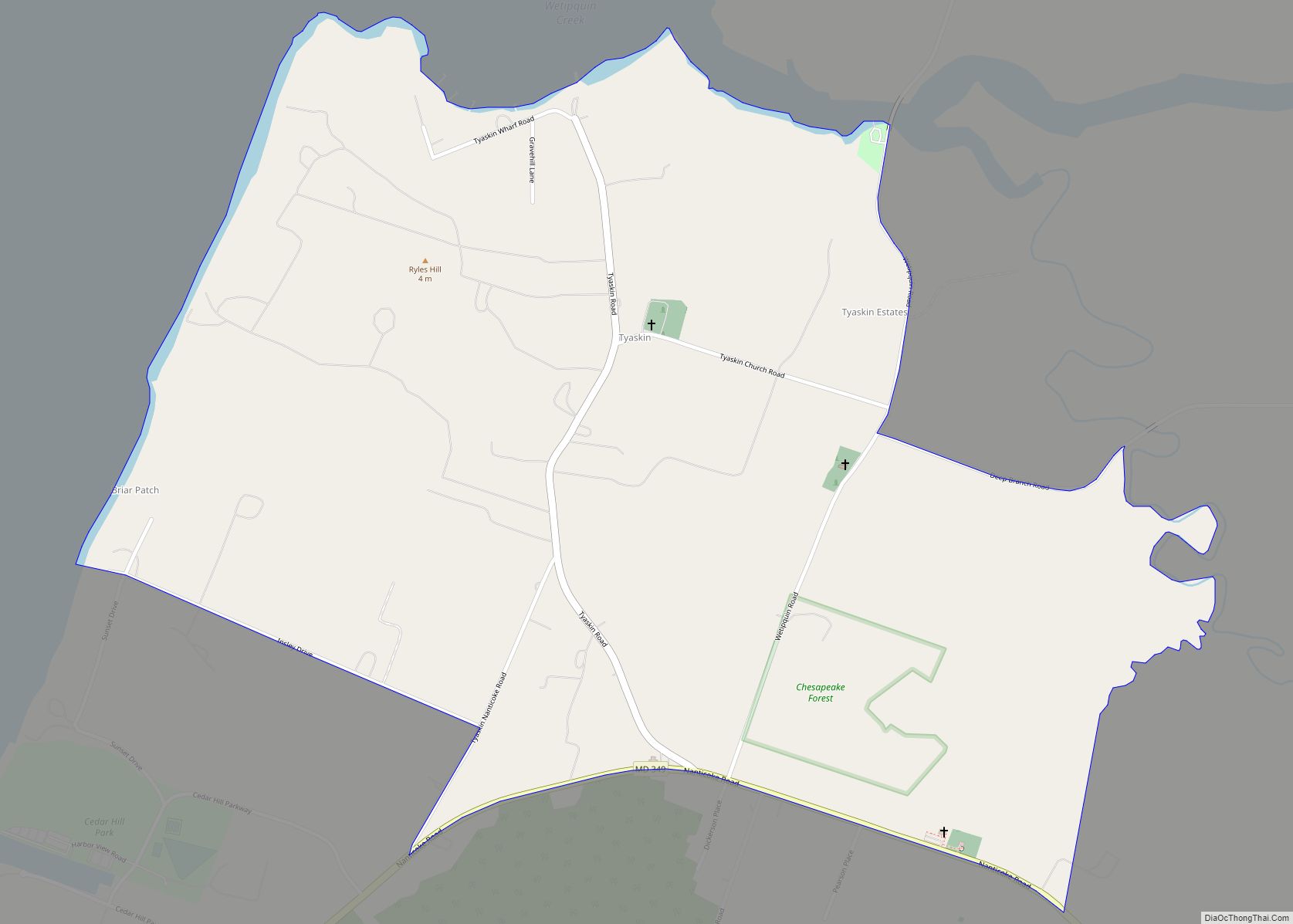
Tyaskin is an unincorporated community and census-designated place in Wicomico County, Maryland, United States. Its population was 236 as of the 2010 census. It is part of the Salisbury, Maryland-Delaware Metropolitan Statistical Area. Beaudley was listed on the National Register of Historic Places in 2001. Tyaskin CDP overview: Name: Tyaskin CDP LSAD Code: 57 LSAD ... Read more
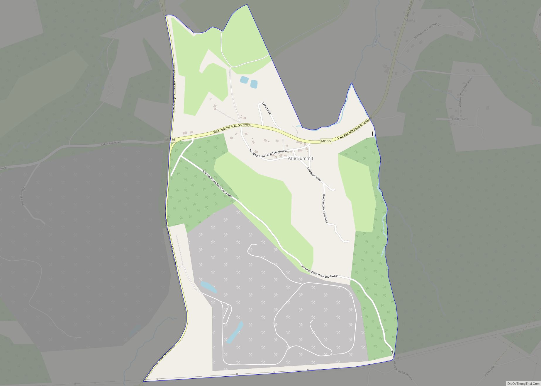
Vale Summit is an unincorporated community and census-designated place (CDP) in Allegany County, Maryland, United States. As of the 2010 census it had a population of 139. Local lore indicates that the community was so named in the mid 19th century, founded by the local population of coal miners. Previously, however, it was locally known ... Read more
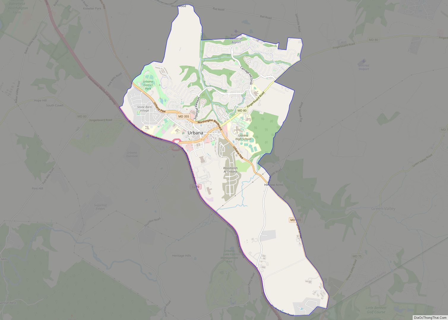
Urbana (/ərˈbænə/ ər-BAN-ə) is a suburban census-designated place located in Frederick County, Maryland, United States. It lies at the I-270/MD 80 interchange, approximately 7.5 miles (12.1 km) south-east of Frederick and about 37 miles (60 km) north-west of Washington, D.C. Urbana started to develop circa 1999 and, as of the 2010 census, had a population of 9,175. ... Read more
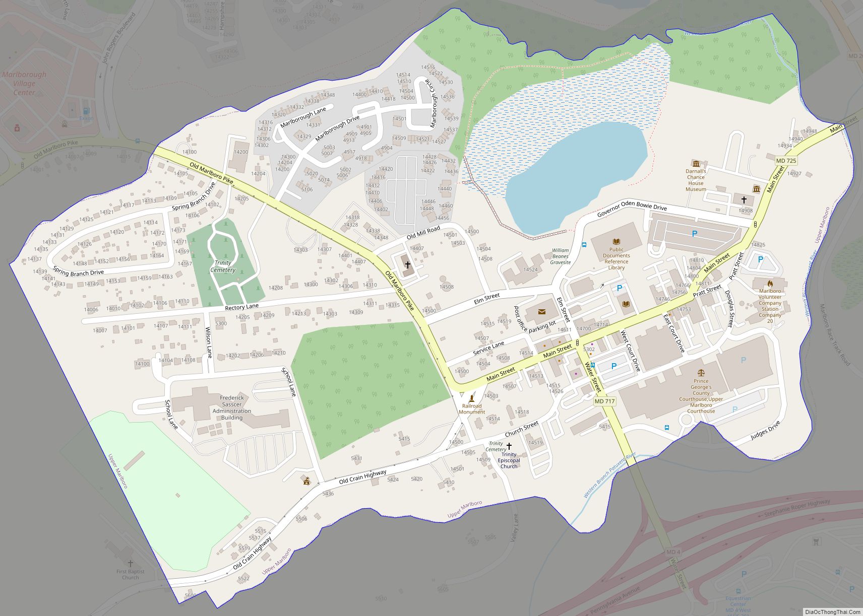
Upper Marlboro, officially the Town of Upper Marlboro, is the seat of Prince George’s County, Maryland. As of the 2020 census, the population within the town limits was 652, although Greater Upper Marlboro, which covers a large area outside the town limits, is many times larger. Upper Marlboro town overview: Name: Upper Marlboro town LSAD ... Read more
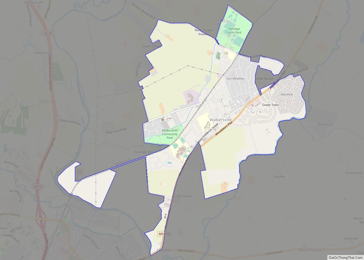
Walkersville is a town in Frederick County, Maryland, United States. The population was 5,800 at the 2010 census. Walkersville town overview: Name: Walkersville town LSAD Code: 43 LSAD Description: town (suffix) State: Maryland County: Frederick County Incorporated: 1892 Elevation: 308 ft (94 m) Total Area: 4.77 sq mi (12.34 km²) Land Area: 4.76 sq mi (12.34 km²) Water Area: 0.00 sq mi (0.01 km²) Total Population: ... Read more
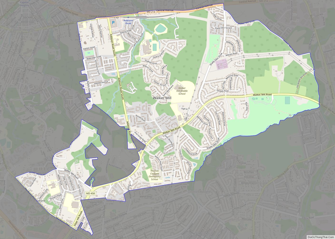
Walker Mill is an unincorporated area and census-designated place (CDP) in Prince George’s County, Maryland, United States. Per the 2020 census, the population was 12,187. Walker Mill CDP overview: Name: Walker Mill CDP LSAD Code: 57 LSAD Description: CDP (suffix) State: Maryland County: Prince George’s County Elevation: 203 ft (62 m) Total Area: 3.02 sq mi (7.81 km²) Land Area: ... Read more
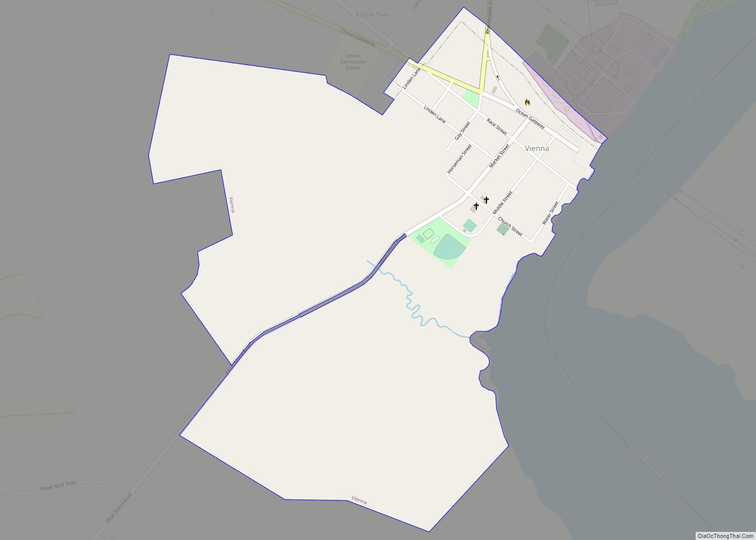
Vienna is a town in Dorchester County, Maryland, United States. The population was 271 at the 2010 census. Vienna town overview: Name: Vienna town LSAD Code: 43 LSAD Description: town (suffix) State: Maryland County: Dorchester County Founded: 1706 Incorporated: 1833 Elevation: 10 ft (3 m) Total Area: 0.77 sq mi (1.98 km²) Land Area: 0.77 sq mi (1.98 km²) Water Area: 0.00 sq mi (0.00 km²) ... Read more
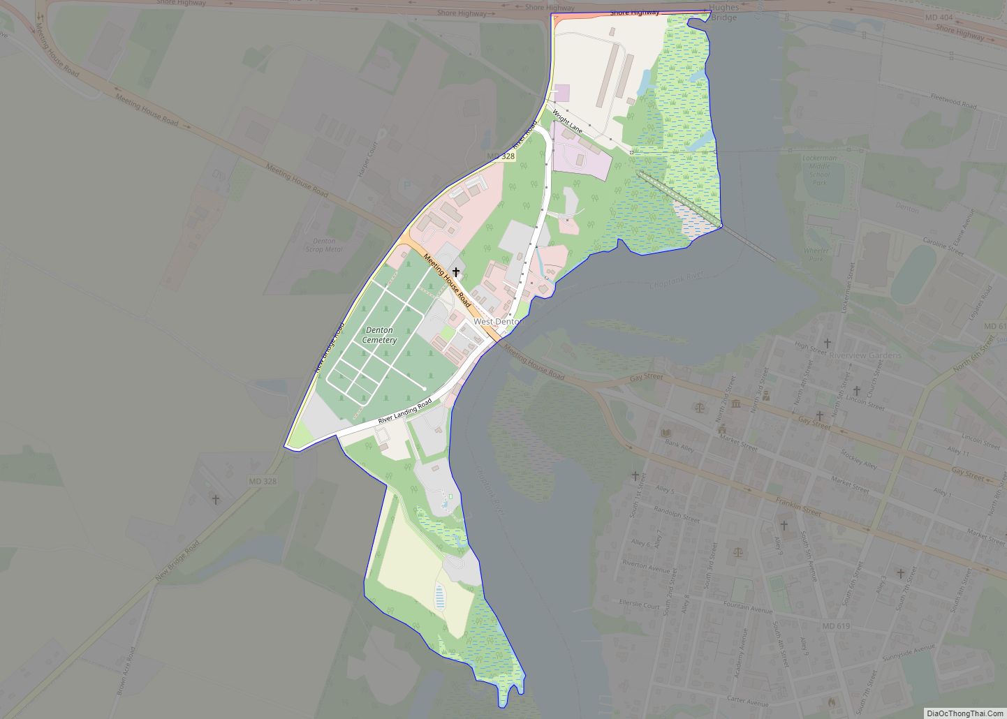
West Denton is an unincorporated community and census-designated place (CDP) in Caroline County, Maryland, United States. As of the 2010 census it had a population of 52. It is located on the west bank of the Choptank River, across from Denton, the Caroline County seat. Maryland Route 404 Business crosses the Choptank and the oldest ... Read more
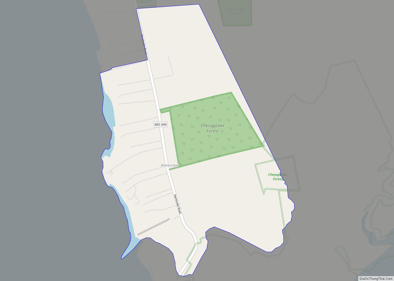
Waterview is an unincorporated community and census-designated place in Wicomico County, Maryland, United States. Its population was 40 as of the 2010 census. It is part of the Salisbury, Maryland-Delaware Metropolitan Statistical Area. Waterview CDP overview: Name: Waterview CDP LSAD Code: 57 LSAD Description: CDP (suffix) State: Maryland County: Wicomico County Elevation: 7 ft (2 m) Total ... Read more
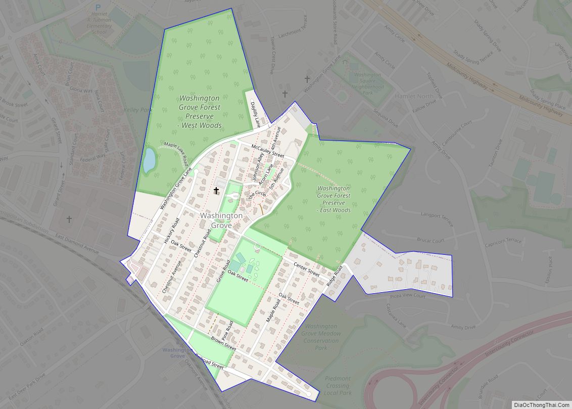
Washington Grove is a town in Montgomery County, Maryland, United States. The population was 555 at the 2010 United States Census. The Washington Grove Historic District was listed on the National Register of Historic Places in 1980. Washington Grove town overview: Name: Washington Grove town LSAD Code: 43 LSAD Description: town (suffix) State: Maryland County: ... Read more
