University Park is a town in Prince George’s County, Maryland, United States. The population was 2,548 at the 2010 census.
| Name: | University Park town |
|---|---|
| LSAD Code: | 43 |
| LSAD Description: | town (suffix) |
| State: | Maryland |
| County: | Prince George’s County |
| Incorporated: | 1936 |
| Elevation: | 72 ft (22 m) |
| Total Area: | 0.50 sq mi (1.30 km²) |
| Land Area: | 0.50 sq mi (1.30 km²) |
| Water Area: | 0.00 sq mi (0.00 km²) |
| Total Population: | 2,454 |
| Population Density: | 4,898.20/sq mi (1,889.34/km²) |
| ZIP code: | 20782 |
| Area code: | 301, 240 |
| FIPS code: | 2479675 |
| GNISfeature ID: | 0598206 |
| Website: | www.upmd.org |
Online Interactive Map
Click on ![]() to view map in "full screen" mode.
to view map in "full screen" mode.
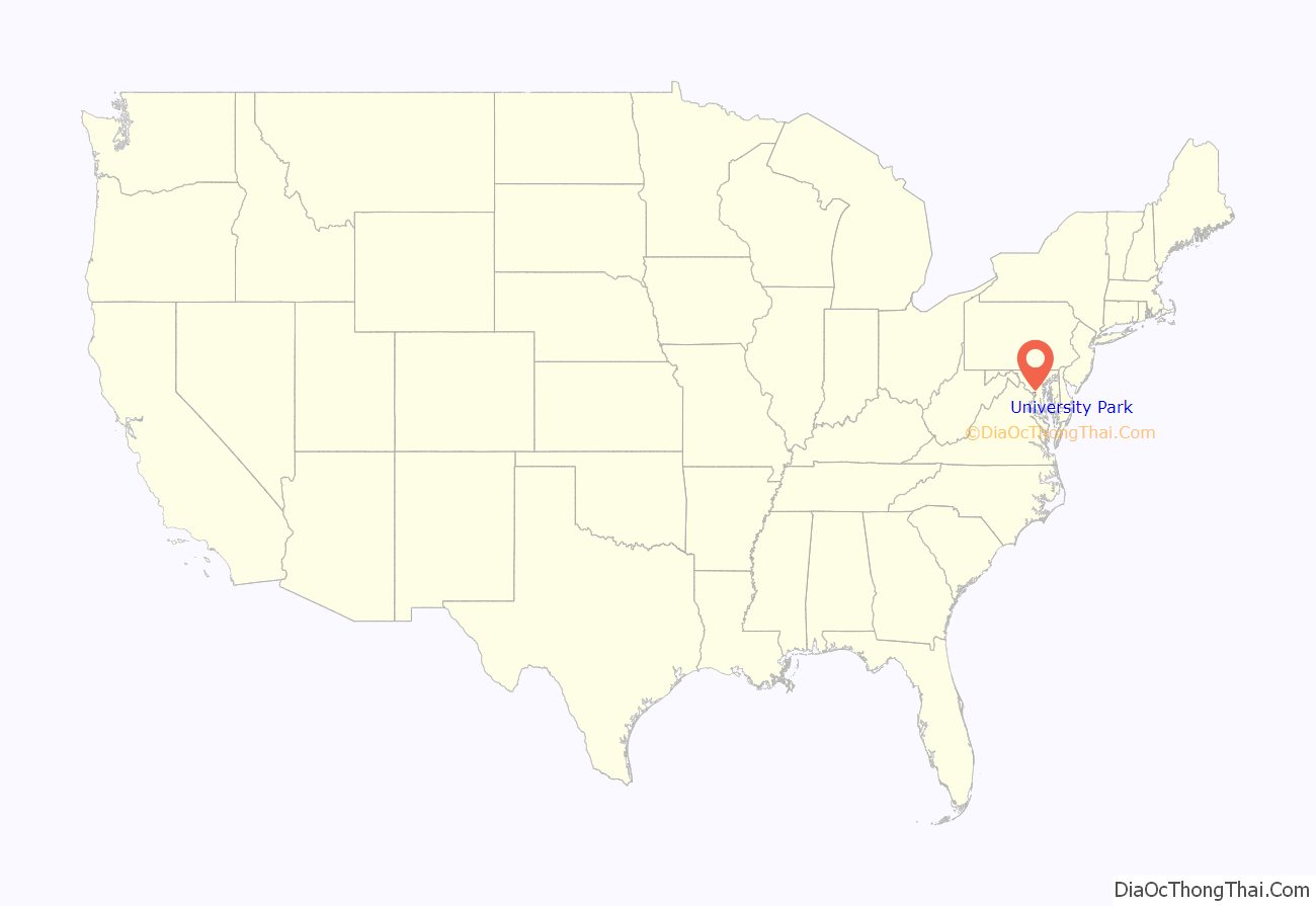
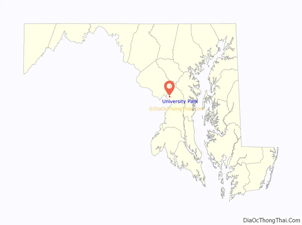
University Park location map. Where is University Park town?
History
University Park was developed on land owned by the Deakins family since the mid-1700s. The house known as Deakins Hall or Bloomfield was constructed on the land in the 1820s or 1830s. It is located at 6404 Queens Chapel Road. The farm was purchased by the University Park Company in 1923. The extension of water and sewer lines into area at that time prompted the subdivision of the Deakins tract. The developers promised a community of single-family homes without the intrusion of commercial facilities. Restrictive covenants were placed on the deeds and all house plans had to be approved by the developers. Homebuyers were attracted to University Park due to its high elevation and lush vegetation. The developers also agreed to provide streetlights and trash removal for a 10-year period, and constructed a school in the mid-1920s.
The town was incorporated in 1936, and the current town hall is located at 6724 Baltimore Avenue, on U.S. Route 1.
By 1940, the community had grown to 293 houses. The size of the town nearly doubled between 1940 and 1950, with the construction of another 255 houses. Houses constructed during these periods include brick and wood-frame Bungalow style and revival-style structures. The last building boom occurred in the late 1950s with the construction of 300 brick ranches.
Community facilities include a police department, started in 1965, a school, and a community park. The two-room company school built in the mid-1920s was converted to a residence after the county constructed a new school building in 1928, which was replaced in 1978 with a modern facility. The town park was purchased in 1941, though its development was postponed by World War II. It was designed and developed in the early 1950s to include a sunken garden, trails, playground, tennis courts, and picnic area. The town remains without commercial properties.
The University Park Historic District, a national historic district on the National Register of Historic Places, was listed in 1997. Residents who own homes that are “contributing structures” to the University Park Historic District may participate in the Heritage Preservation Tax Credit Program, administered through the Maryland Historical Trust. Participants in this program receive a tax credit for a portion of the cost of certified work that maintains or rehabilitates the contributing structures. One such structure identified by the Maryland-National Capital Park and Planning Commission is Bloomfield.
September 11 attacks
The town of University Park suffered greatly on September 11, 2001, not by terrorist attacks on the town itself, but by the loss of five of its residents: The Falkenberg/Whittington family – Charles, Zoe, and Dana Falkenberg and Leslie Whittington, died on September 11 aboard American Airlines Flight 77, which crashed into the Pentagon during a flight from Dulles International Airport to Los Angeles International Airport. They were headed to Australia for a two-month stay. Sheila Hein died when Flight 77 crashed into the Pentagon, in which she worked.
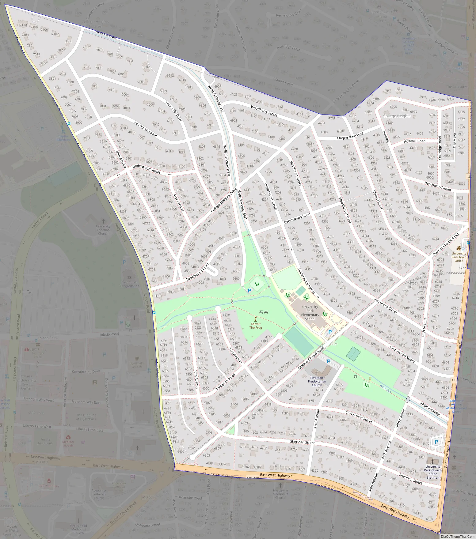
University Park Road Map
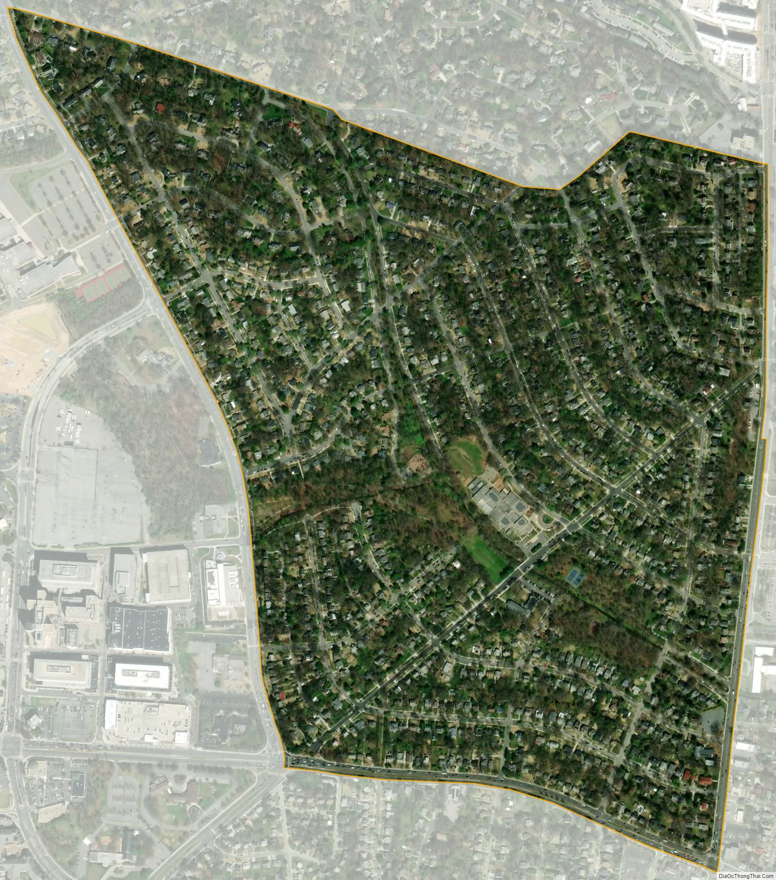
University Park city Satellite Map
Geography
University Park is located at 38°58′17″N 76°56′36″W / 38.97139°N 76.94333°W / 38.97139; -76.94333 (38.971381, −76.943399).
According to the United States Census Bureau, the town has a total area of 0.50 square miles (1.29 km), all land.
University Park is bordered on the north by the city of College Park, to the south and east by the city of Riverdale Park, to the south and west by the town of Hyattsville, and is bordered in several directions by certain unincorporated parts of Prince George’s County, such as Adelphi.
The town includes a public park and a portion of Wells Run, a small tributary of the Northeast Branch of the Anacostia River.
See also
Map of Maryland State and its subdivision: Map of other states:- Alabama
- Alaska
- Arizona
- Arkansas
- California
- Colorado
- Connecticut
- Delaware
- District of Columbia
- Florida
- Georgia
- Hawaii
- Idaho
- Illinois
- Indiana
- Iowa
- Kansas
- Kentucky
- Louisiana
- Maine
- Maryland
- Massachusetts
- Michigan
- Minnesota
- Mississippi
- Missouri
- Montana
- Nebraska
- Nevada
- New Hampshire
- New Jersey
- New Mexico
- New York
- North Carolina
- North Dakota
- Ohio
- Oklahoma
- Oregon
- Pennsylvania
- Rhode Island
- South Carolina
- South Dakota
- Tennessee
- Texas
- Utah
- Vermont
- Virginia
- Washington
- West Virginia
- Wisconsin
- Wyoming


