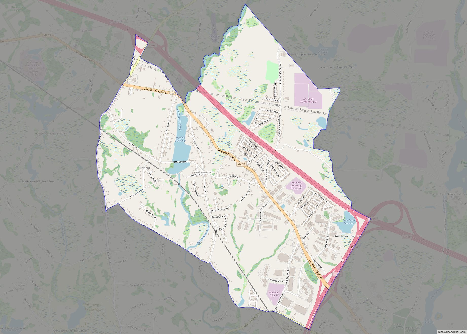
West Wareham is a census-designated place (CDP) in the town of Wareham in Plymouth County, Massachusetts, United States. The population was 2,064 at the 2010 census. West Wareham CDP overview: Name: West Wareham CDP LSAD Code: 57 LSAD Description: CDP (suffix) State: Massachusetts County: Plymouth County Elevation: 59 ft (18 m) Total Area: 3.80 sq mi (9.83 km²) Land Area: ... Read more
Massachusetts Cities and Places
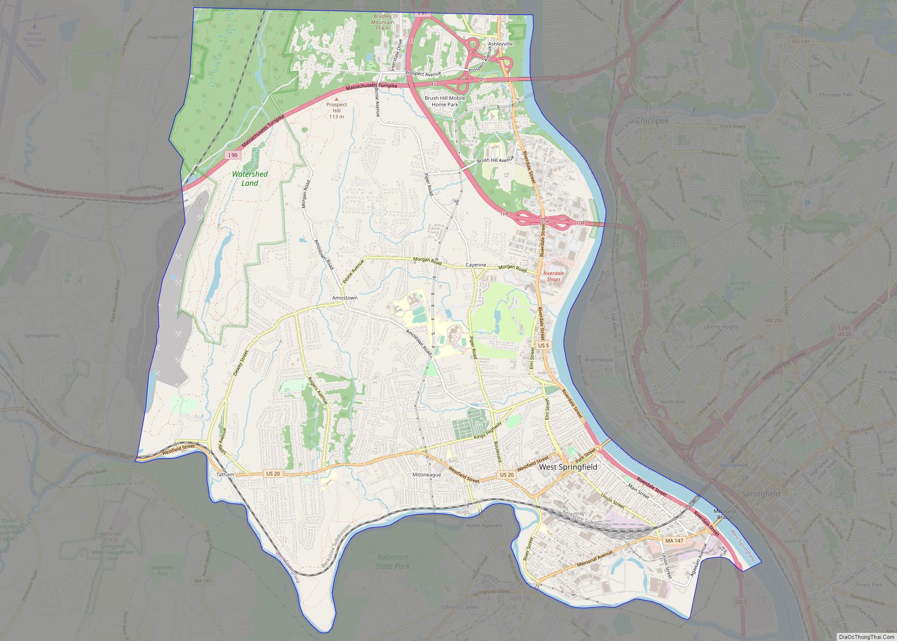
West Springfield Town city overview: Name: West Springfield Town city LSAD Code: 25 LSAD Description: city (suffix) State: Massachusetts County: Hampden County FIPS code: 2577890 Online Interactive Map West Springfield Town online map. Source: Basemap layers from Google Map, Open Street Map (OSM), Arcgisonline, Wmflabs. Boundary Data from Database of Global Administrative Areas. West Springfield ... Read more
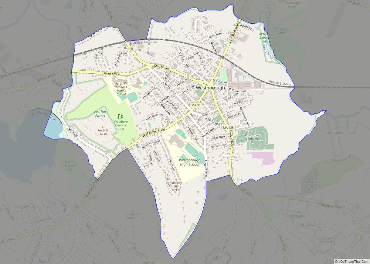
Westborough is a census-designated place (CDP) in the town of Westborough in Worcester County, Massachusetts, United States. The population was 4,045 at the 2010 census. Westborough CDP overview: Name: Westborough CDP LSAD Code: 57 LSAD Description: CDP (suffix) State: Massachusetts County: Worcester County Elevation: 305 ft (95 m) Total Area: 1.90 sq mi (4.93 km²) Land Area: 1.89 sq mi (4.89 km²) Water ... Read more
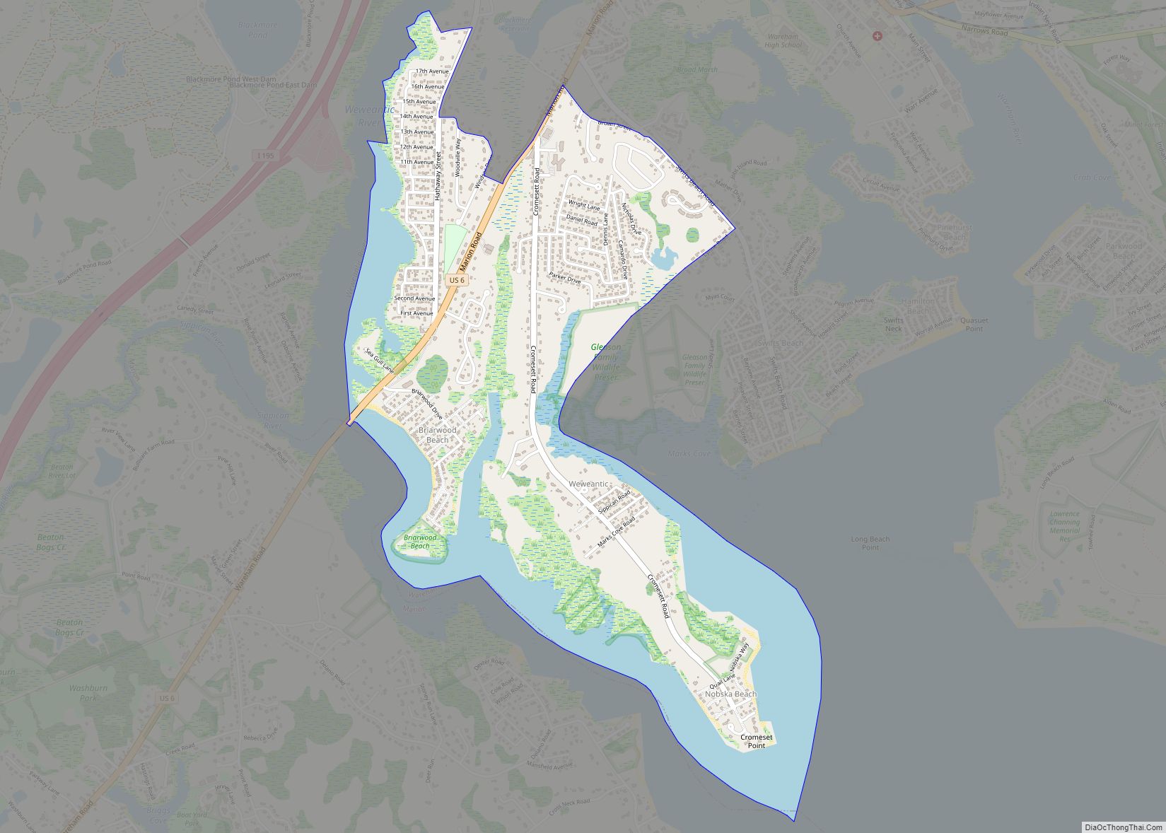
Weweantic is a census-designated place (CDP) in the town of Wareham in Plymouth County, Massachusetts, United States. The population was 2,105 at the 2010 census. Weweantic CDP overview: Name: Weweantic CDP LSAD Code: 57 LSAD Description: CDP (suffix) State: Massachusetts County: Plymouth County Elevation: 16 ft (5 m) Total Area: 1.68 sq mi (4.36 km²) Land Area: 1.27 sq mi (3.29 km²) Water ... Read more
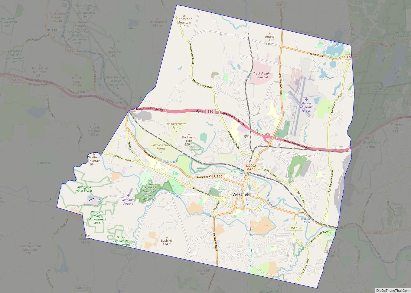
Westfield is a city in Hampden County, in the Pioneer Valley of western Massachusetts, United States. Westfield was first settled by Europeans in 1660. It is part of the Springfield, Massachusetts Metropolitan Statistical Area. The population was 40,834 at the 2020 census. Westfield city overview: Name: Westfield city LSAD Code: 25 LSAD Description: city (suffix) ... Read more
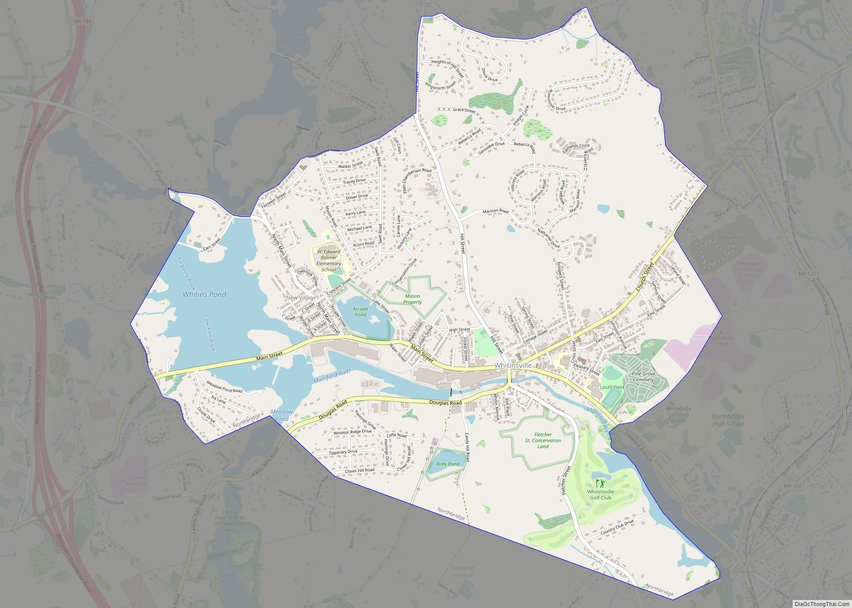
Whitinsville is an unincorporated village within the town of Northbridge in Worcester County, Massachusetts, United States. Whitinsville is a census-designated place (CDP) and its population was 6,750 at the 2020 census. Whitinsville is pronounced as if it were spelled “White-ins-ville”. It was founded by the Whitin family, after whom it is also named. It is ... Read more
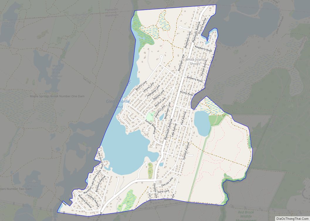
White Island Shores is a census-designated place (CDP) in the town of Wareham in Plymouth County, Massachusetts, United States, along the shores of White Island Pond. The population was 2,106 at the 2010 census. White Island Shores CDP overview: Name: White Island Shores CDP LSAD Code: 57 LSAD Description: CDP (suffix) State: Massachusetts County: Plymouth ... Read more
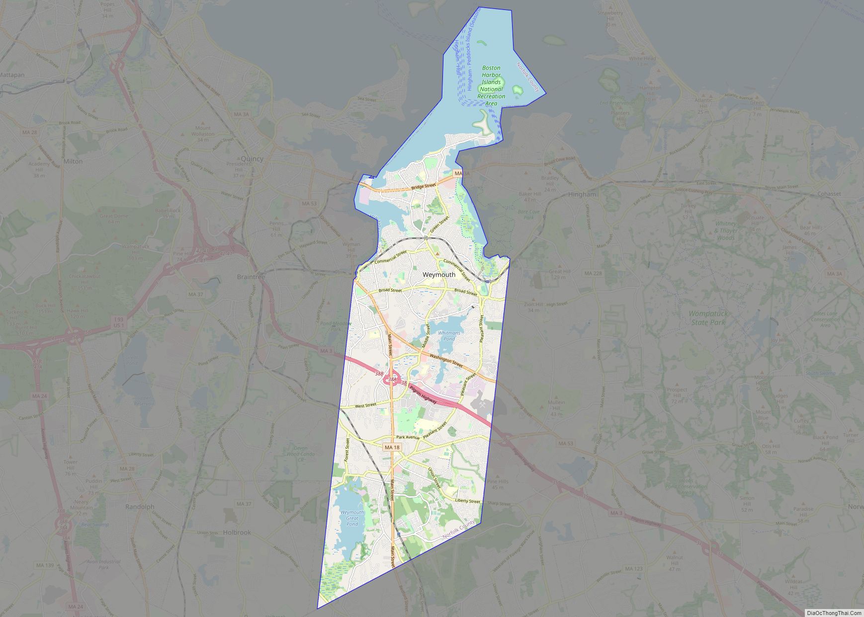
Weymouth Town city overview: Name: Weymouth Town city LSAD Code: 25 LSAD Description: city (suffix) State: Massachusetts County: Norfolk County FIPS code: 2578972 Online Interactive Map Weymouth Town online map. Source: Basemap layers from Google Map, Open Street Map (OSM), Arcgisonline, Wmflabs. Boundary Data from Database of Global Administrative Areas. Weymouth Town location map. Where ... Read more
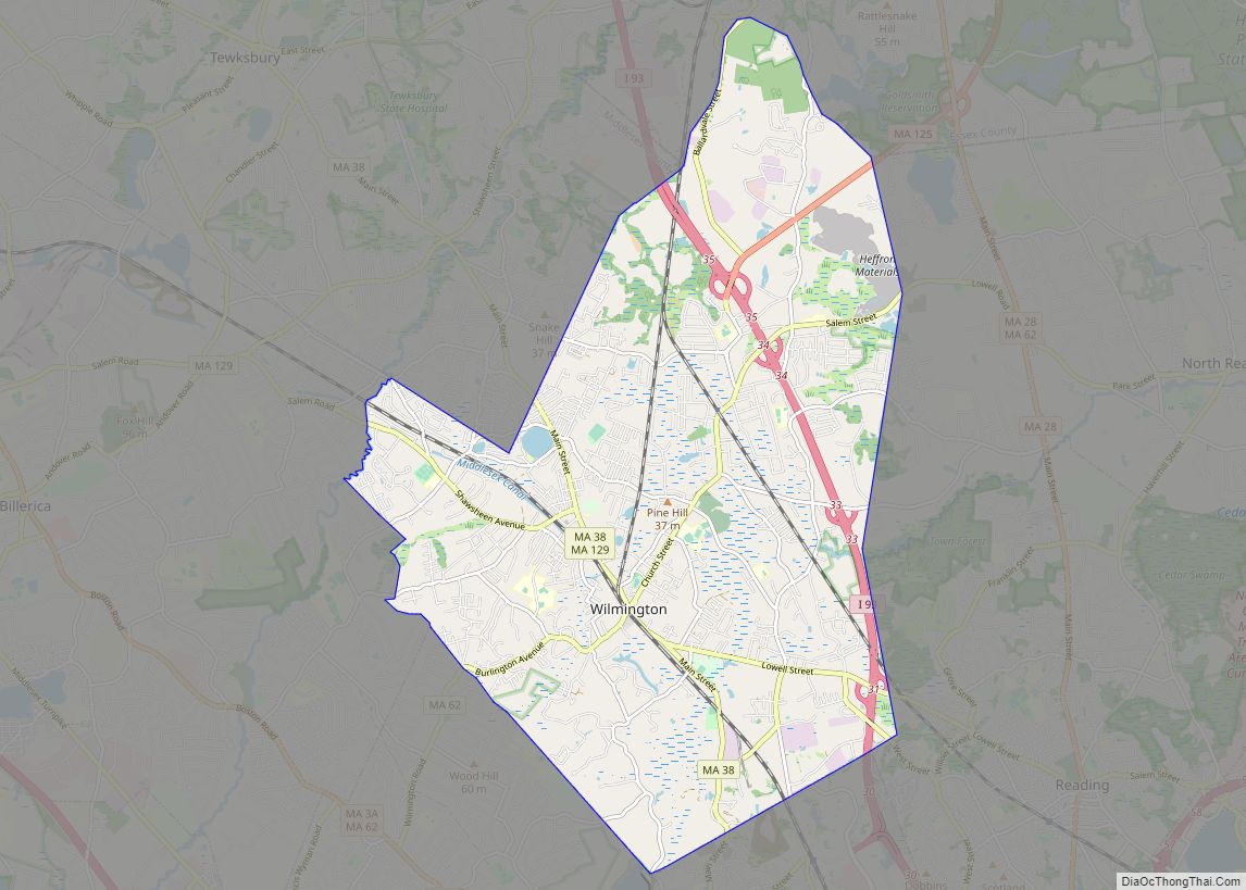
Wilmington is a town in Middlesex County, Massachusetts, United States. Its population was 23,349 at the 2020 United States census. Wilmington CDP overview: Name: Wilmington CDP LSAD Code: 57 LSAD Description: CDP (suffix) State: Massachusetts County: Middlesex County Incorporated: 1730 Elevation: 29 m (96 ft) Total Area: 44.6 km² (17.2 sq mi) Land Area: 44.4 km² (17.1 sq mi) Water Area: 0.2 km² (0.1 sq mi) ... Read more
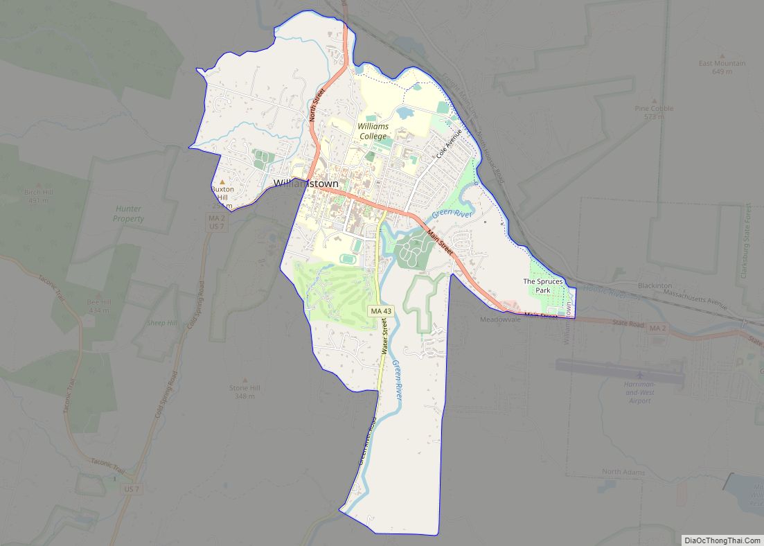
Williamstown is a census-designated place (CDP) in the town of Williamstown in Berkshire County, Massachusetts, United States. The population of the CDP was 4,325 at the 2010 census, out of 7,754 in the entire town. Williamstown CDP overview: Name: Williamstown CDP LSAD Code: 57 LSAD Description: CDP (suffix) State: Massachusetts County: Berkshire County Elevation: 686 ft ... Read more
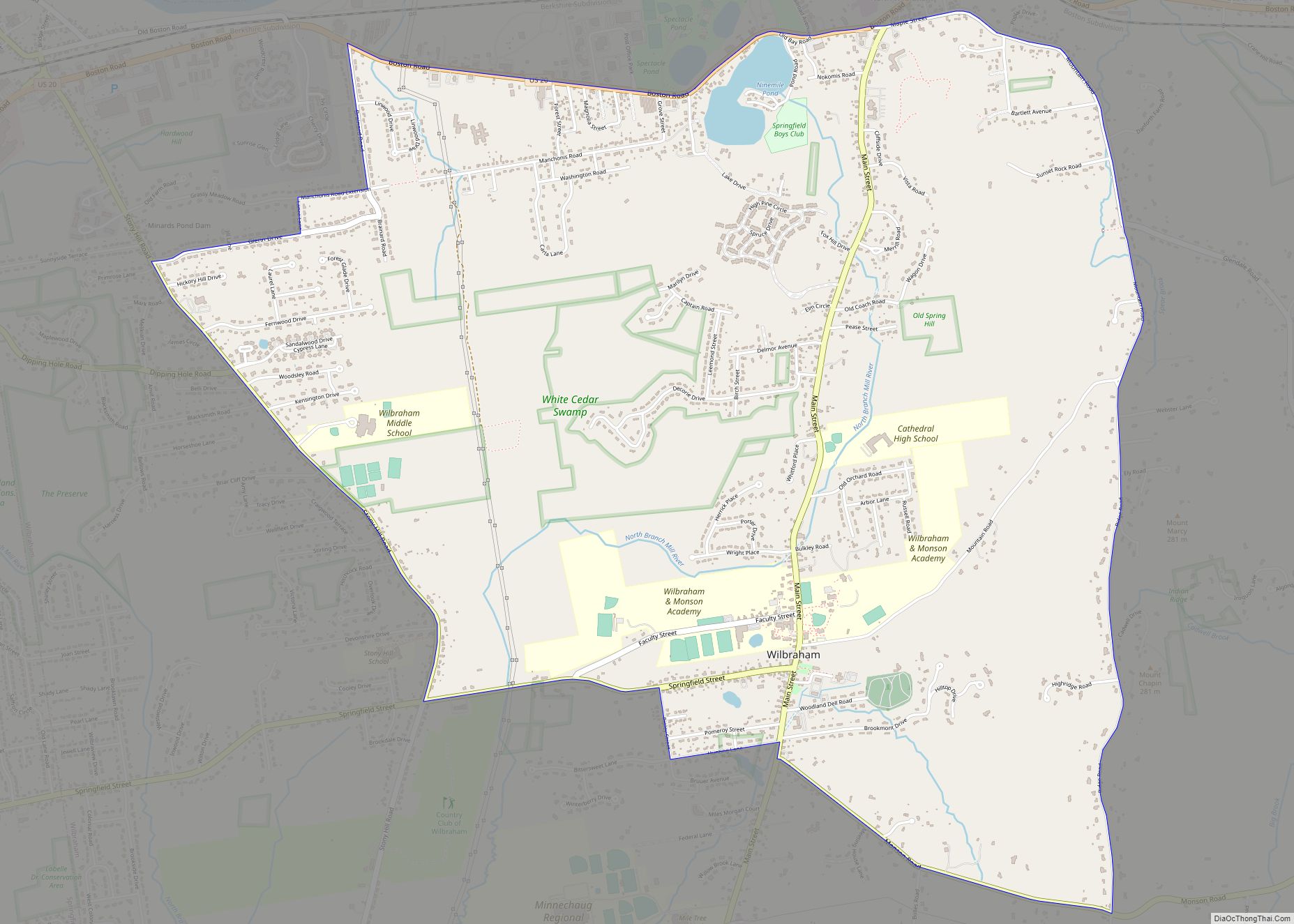
Wilbraham is a census-designated place (CDP) in the town of Wilbraham in Hampden County, Massachusetts, United States. The population was 3,915 at the 2010 census, out of 14,868 in the town as a whole. It is part of the Springfield, Massachusetts Metropolitan Statistical Area. Wilbraham CDP overview: Name: Wilbraham CDP LSAD Code: 57 LSAD Description: ... Read more
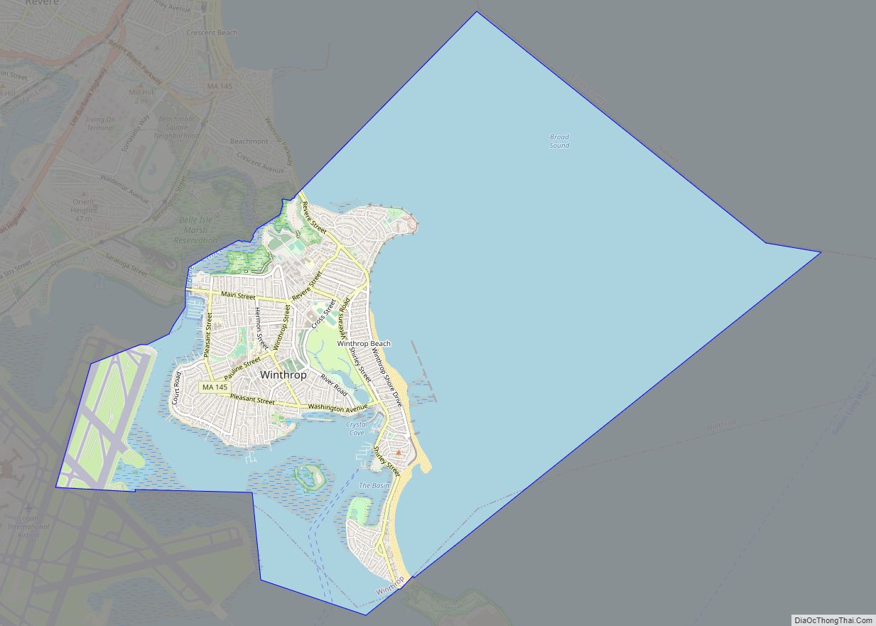
Winthrop Town city overview: Name: Winthrop Town city LSAD Code: 25 LSAD Description: city (suffix) State: Massachusetts County: Suffolk County FIPS code: 2581005 Online Interactive Map Winthrop Town online map. Source: Basemap layers from Google Map, Open Street Map (OSM), Arcgisonline, Wmflabs. Boundary Data from Database of Global Administrative Areas. Winthrop Town location map. Where ... Read more
