Westfield is a city in Hampden County, in the Pioneer Valley of western Massachusetts, United States. Westfield was first settled by Europeans in 1660. It is part of the Springfield, Massachusetts Metropolitan Statistical Area. The population was 40,834 at the 2020 census.
| Name: | Westfield city |
|---|---|
| LSAD Code: | 25 |
| LSAD Description: | city (suffix) |
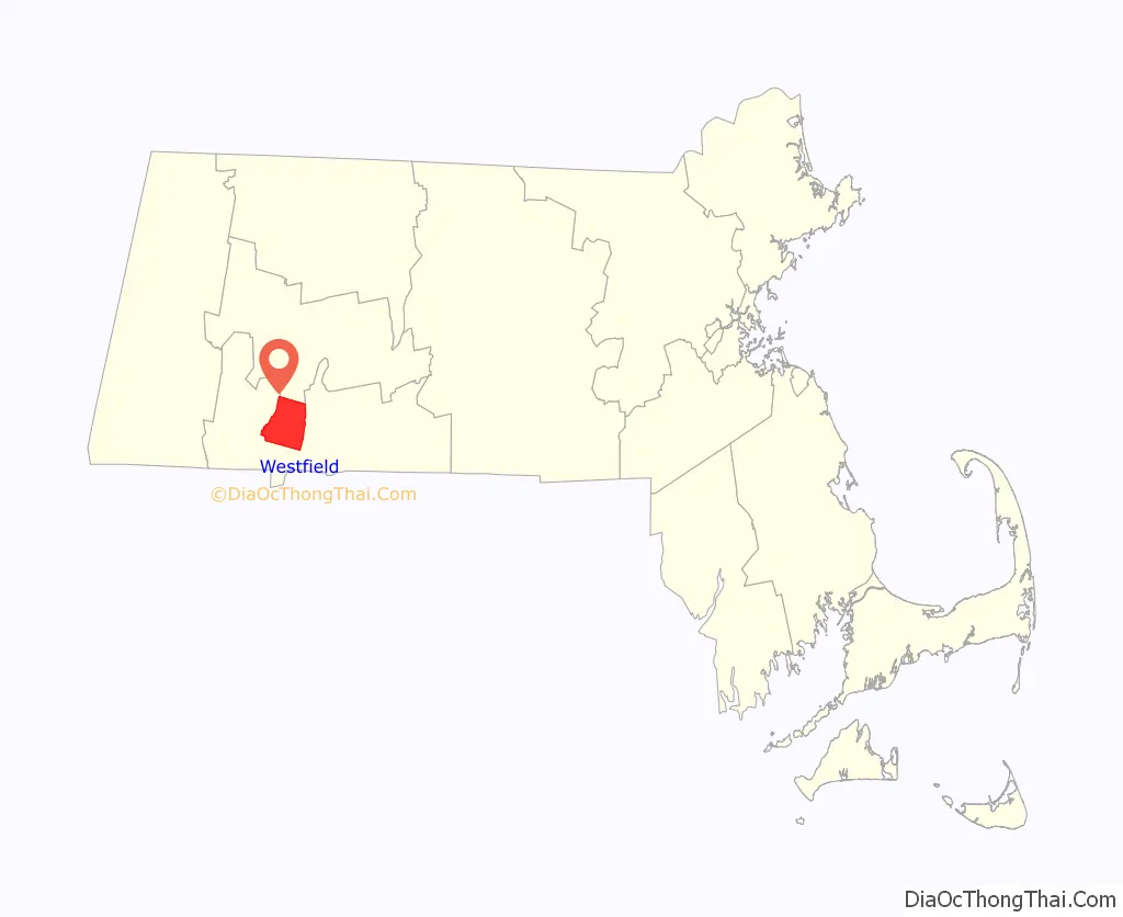
| State: | Massachusetts |
| County: | Hampden County |
| Elevation: | 148 ft (45 m) |
| Total Area: | 47.32 sq mi (122.54 km²) |
| Land Area: | 46.26 sq mi (119.81 km²) |
| Water Area: | 1.05 sq mi (2.73 km²) 2.24% |
| Total Population: | 40,834 |
| Population Density: | 882.69/sq mi (340.81/km²) |
| FIPS code: | 2576030 |
| GNISfeature ID: | 0608962 |
| Website: | www.cityofwestfield.org |
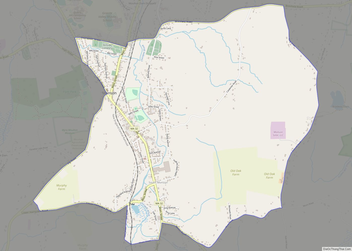
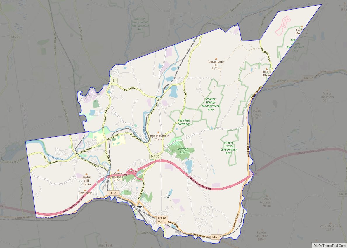
Online Interactive Map
Click on ![]() to view map in "full screen" mode.
to view map in "full screen" mode.
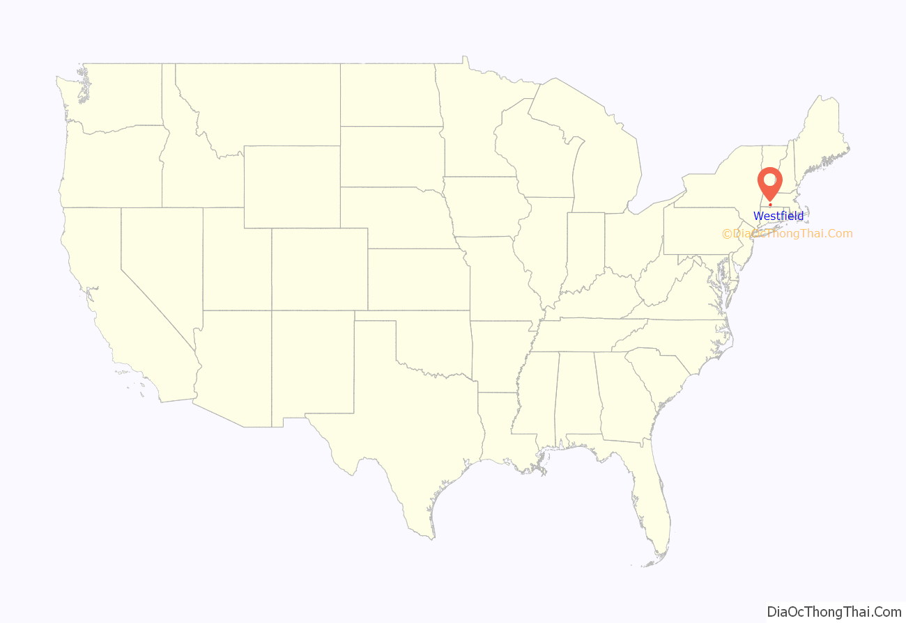
Westfield location map. Where is Westfield city?
History
The area was originally inhabited by the Pocomtuc, and was called Woronoco (meaning “the winding land”). Trading houses were built in 1639 to 1640 by European settlers from the Connecticut Colony. Massachusetts asserted jurisdiction, and prevailed after a boundary survey. In 1647, Massachusetts made Woronoco part of Springfield. Land was “incrementally purchased from the Native Americans and granted by the Springfield town meeting to English settlers, beginning in 1658.” The area of Woronoco or “Streamfield” began to be permanently settled in the 1660s. In 1669, “Westfield” was incorporated as an independent town; in 1920, it would be re-incorporated as a city. The name Westfield would be named for being at the time the most westerly settlement. “Streamfield” was considered a name for the town for being settled in between two “streams” that flow downtown, the Westfield River and the Little River.
From its founding until 1725, Westfield was the westernmost settlement in the Massachusetts Colony, and portions of it fell within the Equivalent Lands. Town meetings were held in a church meeting house until 1839, when Town Hall was erected on Broad Street. This building also served as City Hall from 1920 to 1958. Due to its alluvial lands, the inhabitants of the Westfield area were entirely devoted to agricultural pursuits for about 150 years.
Early in the 19th century, the manufacture of bricks, whips, and cigars became economically important. At one point in the 19th century, Westfield was a prominent center of the buggy whip industry, and the city is still known as the “Whip City”. Other firms produced bicycles, paper products, pipe organs, boilers and radiators, textile machinery, abrasives, wood products, and precision tools. Westfield transformed itself from an agricultural town into a thriving industrial city in the 19th century, but in the second half of the 20th century its manufacturing base was eroded by wage competition in the U.S. Southeast, then overseas.
Meanwhile, with cheap land and convenient access to east–west and north–south interstate highways, the north side developed into a warehousing center to C & S Wholesale, Home Depot, Lowes and other corporations. South of the river, the intersecting trends of growth of Westfield State University and declining manufacturing changed the city’s character. Students comprise some 15% of Westfield’s population, and the old downtown business district caters increasingly to them while mainstream shopping relocates to a commercial strip called East Main Street, part of U.S. Route 20.
Only four buildings exceed four stories in height. Until a major fire on January 6, 1952, the Westfield Professional Building covered half a downtown city block and was six stories tall. The entire building was consumed with extensive damage to neighboring buildings because the fire department’s ladder and snorkel vehicles weren’t tall enough and the building did not have a sprinkler system. Subsequent zoning prohibited virtually all new construction over three stories, even after improvements in fire suppression technologies and vehicles became available. No building is allowed to be taller than the town’s firetruck ladders.
In the early 20th century, Westfield was at the center of the Pure Food movement, an effort to require stricter standards on the production of food. Louis B. Allyn, a Westfield resident and pure foods expert for McClure’s Magazine, lived in Westfield until his murder. In 1906, Congress passed the Pure Food and Drug Act of 1906. In June 2017, the administration of Massachusetts Governor Charlie Baker announced a $300,000 grant to the city for an industrial park expansion.
In 1939, Westfield became the first city in Massachusetts, as well as all of New England, to elect a female Mayor when Alice Burke defeated incumbent Raymond H. Cowing.
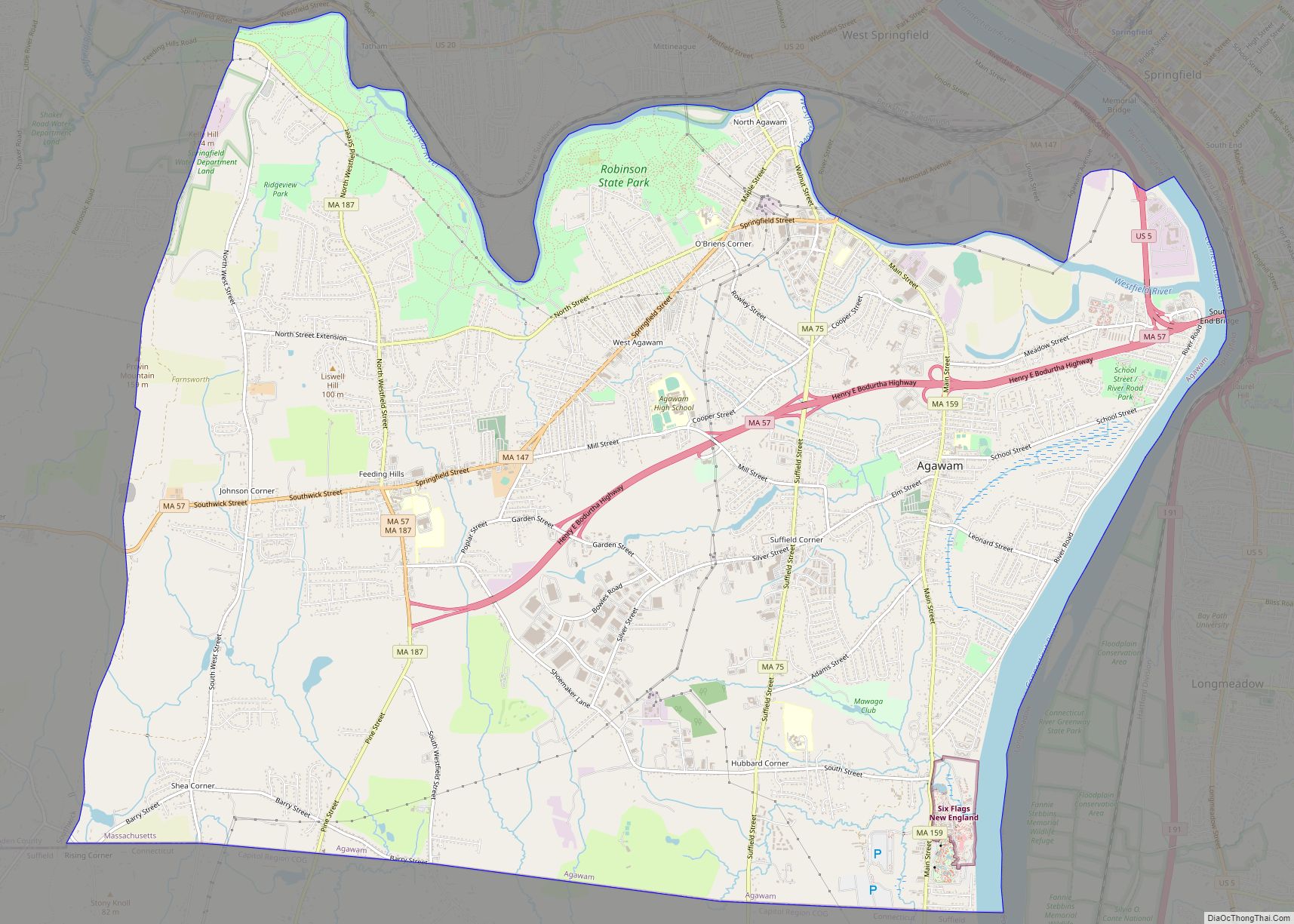
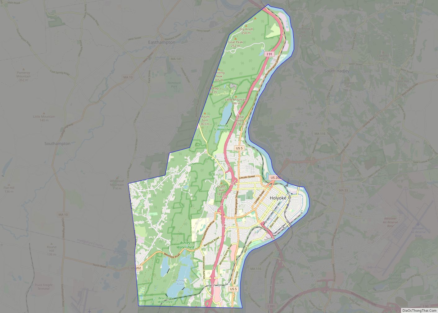
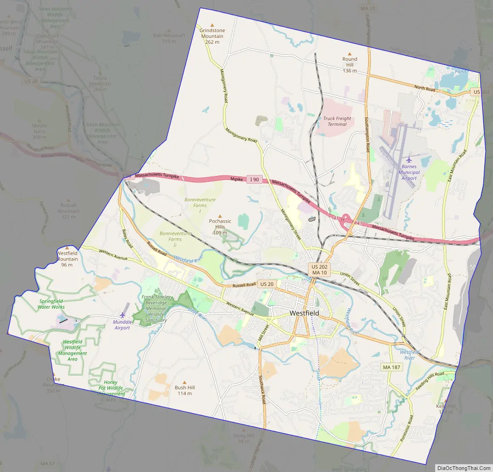
Westfield Road Map
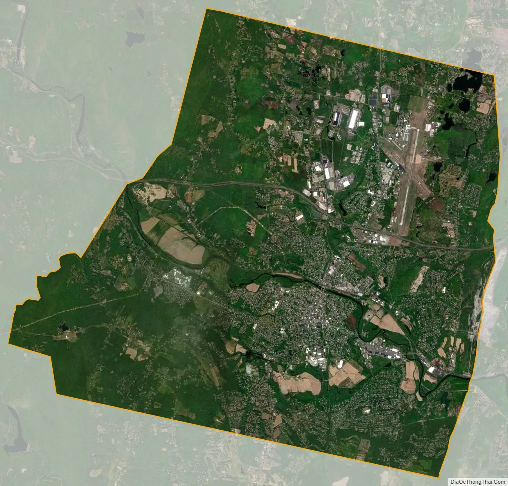
Westfield city Satellite Map
Geography
Westfield is located at 42°7′46″N 72°44′46″W / 42.12944°N 72.74611°W / 42.12944; -72.74611 (42.129492, −72.745986). It is bordered on the north by Southampton, on the northeast by Holyoke, on the east by West Springfield, on the southeast by Agawam, on the south by Southwick, on the southwest by Granville, on the west by Russell, and on the northwest by Montgomery. Westfield is split into the “South Side” and the “North Side” by the Westfield River, and the northwestern section of town is known as Wyben.
According to the United States Census Bureau, the city has a total area of 47.4 square miles (122.7 km), of which 46.3 square miles (120.0 km) are land and 1.1 square miles (2.8 km), or 2.24%, are water.
Westfield is situated at the western edge of the downfaulted Connecticut River Valley where the Westfield River emerges from the Berkshire Hills and flows through the center of the city on its way to the Connecticut River some 10 miles (16 km) downstream. Because of its large, steep and rocky upstream watershed, the river has a history of severe flood episodes, inundating adjacent parts of Westfield several times. In spite of a complicated system of pumps, dikes, waterways, and upstream dams, Westfield lies in a floodplain zone and is still considered flood-prone.
Westfield is bordered on the east by linear cliffs of volcanic trap rock known as East Mountain and Provin Mountain. They are part of the Metacomet Ridge, a mountainous trap rock ridgeline that stretches from Long Island Sound to nearly the Vermont border. Both mountains are traversed by the 114-mile (183 km) Metacomet-Monadnock Trail, that also crosses the Westfield River with an ill-advised fording or a safer road-walk across the bridge at the junction of Routes 187 and 20. The next road obstacle for hikers in Westfield is the Massachusetts Turnpike, beneath which hikers can safely walk.
Westfield is on the fringe of the greater Northeast megalopolis—the most densely populated region of the United States—and has experienced substantial land development for suburban residential and commercial uses for the past six decades. Yet it borders hilltowns to the west that were depopulated of subsistence farmers in the 19th century as land became readily available on the western frontier. With population dipping below ten per square kilometer in some upland townships, forests are reverting almost to pre-settlement conditions with wild turkey, bears, coyotes and even moose returning after absences perhaps measured in centuries. This transition over a few miles from the 21st century urbanization to population densities nearly as low as early colonial times is notable if not unique.
Westfield is located 10 miles (16 km) west of Springfield, 39 miles (63 km) southeast of Pittsfield, 95 miles (153 km) west of Boston, 30 miles (48 km) north of Hartford, Connecticut, 76 miles (122 km) southeast of Albany, New York, and 145 miles (233 km) northeast of New York City.
Climate
- ^ Records maintained at Westfield-Barnes Regional Airport since August 1998, and at the Westfield COOP before December 1995.
See also
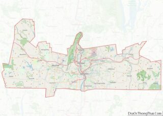
Map of Massachusetts State and its subdivision: Map of other states:- Alabama
- Alaska
- Arizona
- Arkansas
- California
- Colorado
- Connecticut
- Delaware
- District of Columbia
- Florida
- Georgia
- Hawaii
- Idaho
- Illinois
- Indiana
- Iowa
- Kansas
- Kentucky
- Louisiana
- Maine
- Maryland
- Massachusetts
- Michigan
- Minnesota
- Mississippi
- Missouri
- Montana
- Nebraska
- Nevada
- New Hampshire
- New Jersey
- New Mexico
- New York
- North Carolina
- North Dakota
- Ohio
- Oklahoma
- Oregon
- Pennsylvania
- Rhode Island
- South Carolina
- South Dakota
- Tennessee
- Texas
- Utah
- Vermont
- Virginia
- Washington
- West Virginia
- Wisconsin
- Wyoming