Wilmington is a town in Middlesex County, Massachusetts, United States. Its population was 23,349 at the 2020 United States census.
| Name: | Wilmington CDP |
|---|---|
| LSAD Code: | 57 |
| LSAD Description: | CDP (suffix) |
| State: | Massachusetts |
| County: | Middlesex County |
| Incorporated: | 1730 |
| Elevation: | 29 m (96 ft) |
| Total Area: | 44.6 km² (17.2 sq mi) |
| Land Area: | 44.4 km² (17.1 sq mi) |
| Water Area: | 0.2 km² (0.1 sq mi) |
| Total Population: | 23,349 |
| Population Density: | 520/km² (1,400/sq mi) |
| ZIP code: | 01887 |
| Area code: | 978 |
| FIPS code: | 2580195 |
| GNISfeature ID: | 0618246 |
| Website: | www.wilmingtonma.gov |
Online Interactive Map
Click on ![]() to view map in "full screen" mode.
to view map in "full screen" mode.
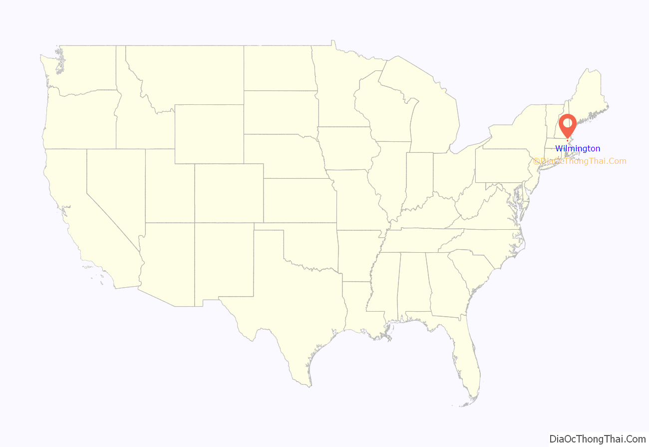
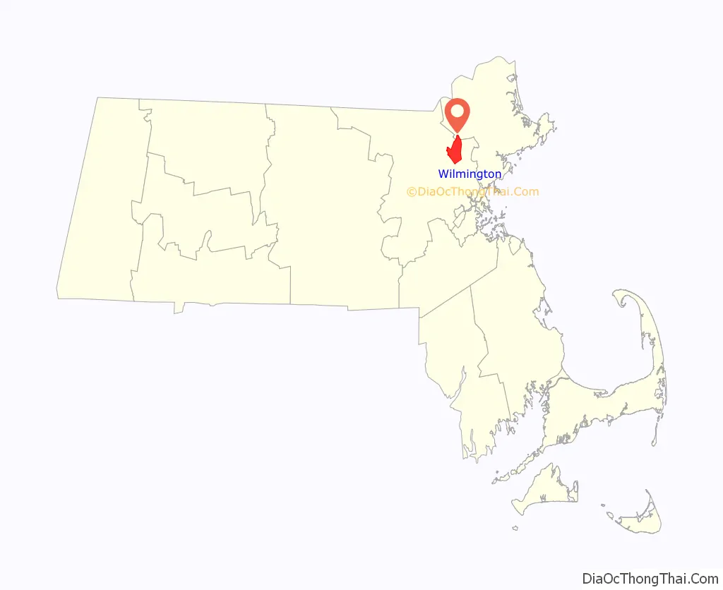
Wilmington location map. Where is Wilmington CDP?
History
Wilmington was first settled in 1665 and was officially incorporated in 1730, from parts of Woburn, Reading, and Billerica. The first settlers are believed to have been Will Butter, Richard Harnden or Abraham Jaquith. Butter, a Scottish Covenanter who fought against Cromwell in the English Civil Wars, was brought to Woburn as an indentured captive. He achieved his freedom, as did all indentured service, after nine years, then relocated to the opposite side of a large swamp (“the boggy part of Wooburne” “across the river”) in what is now Wilmington. Harnden settled in Reading, in an area that is now part of Wilmington. Jaquith settled in an area of Billerica that became part of Wilmington in 1740.
Minutemen from Wilmington responded to the alarm on April 19, 1775, and fought at Merriam’s Corner in Concord.
The Middlesex Canal passed through Wilmington. Chartered in 1792, opened in 1803, it provided freight and passenger transport between the Merrimack River and Boston. One important cargo on the canal was hops. From the middle of the 18th century until the early 19th century, Massachusetts was the acknowledged leader in hop production in North America. Middlesex County in particular was famous for its hop yards, and Wilmington was the first place where the culture grew to a fever pitch.
When Lowell was built in the 1820s, the canal became a primary means of transporting cotton to and from the mills. It was abandoned in 1852 after the construction of the Boston and Lowell Railroad.
The Boston and Lowell Railroad was built in 1835. The line is now the oldest operating rail line in the U.S. Wilmington is also served by the Haverhill Division (the old B&M Portland Division). A spur track known as the Wildcat connects the Haverhill and Lowell divisions, following the path of the old Wilmington & Andover Railroad, the corporate ancestor of the Boston & Maine.
Wilmington is where the Baldwin apple was discovered.
Wilmington is also home to the Col. Joshua Harnden Tavern, which probably served as a stop on the underground railroad and now houses the Wilmington Town Museum.
Since World War II, Wilmington’s population has quadrupled. Interstate 93, Route 62, Route 129 and Route 38 run through town, and Route 128 is about a mile south of Wilmington.
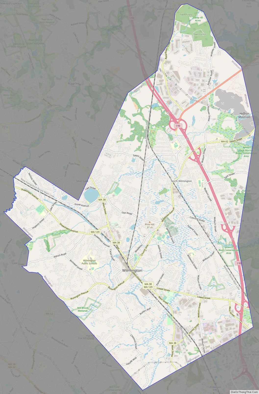
Wilmington Road Map
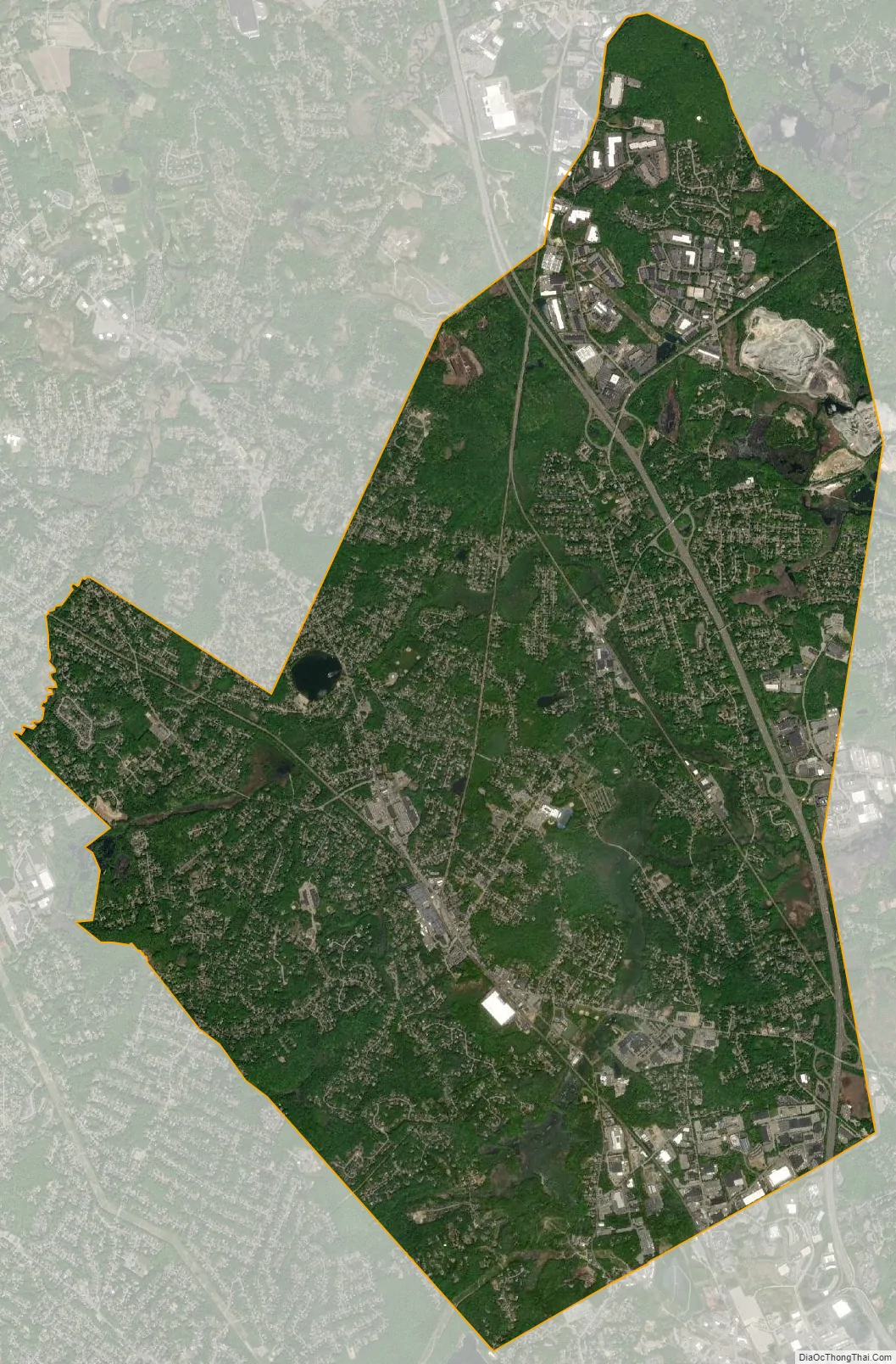
Wilmington city Satellite Map
Geography
Wilmington is located at 42°33′N 71°10′W / 42.550°N 71.167°W / 42.550; -71.167 (42.560, −71.170).
According to the United States Census Bureau, the CDP has a total area of 17.2 square miles (45 km), of which 17.1 square miles (44 km) is land and 0.1 square miles (0.26 km), or 0.46%, is water.
Wilmington borders the towns of Andover, North Reading, Reading, Woburn, Burlington, Billerica, and Tewksbury. The town is frequently divided into distinct areas, including Silver Lake and North Wilmington.
Much of Wilmington was built on or still is wetlands. The Ipswich River starts in Wilmington, and the Shawsheen River forms part of Wilmington’s border with Billerica.
There is one lake in the town, Silver Lake, a kettle lake formed in the retreat of the Pleistocene glaciers at the end of the last ice age. It is open for swimming during the summer.
See also
Map of Massachusetts State and its subdivision: Map of other states:- Alabama
- Alaska
- Arizona
- Arkansas
- California
- Colorado
- Connecticut
- Delaware
- District of Columbia
- Florida
- Georgia
- Hawaii
- Idaho
- Illinois
- Indiana
- Iowa
- Kansas
- Kentucky
- Louisiana
- Maine
- Maryland
- Massachusetts
- Michigan
- Minnesota
- Mississippi
- Missouri
- Montana
- Nebraska
- Nevada
- New Hampshire
- New Jersey
- New Mexico
- New York
- North Carolina
- North Dakota
- Ohio
- Oklahoma
- Oregon
- Pennsylvania
- Rhode Island
- South Carolina
- South Dakota
- Tennessee
- Texas
- Utah
- Vermont
- Virginia
- Washington
- West Virginia
- Wisconsin
- Wyoming


