Wilbraham is a census-designated place (CDP) in the town of Wilbraham in Hampden County, Massachusetts, United States. The population was 3,915 at the 2010 census, out of 14,868 in the town as a whole. It is part of the Springfield, Massachusetts Metropolitan Statistical Area.
| Name: | Wilbraham CDP |
|---|---|
| LSAD Code: | 57 |
| LSAD Description: | CDP (suffix) |
| State: | Massachusetts |
| County: | Hampden County |
| Elevation: | 279 ft (85 m) |
| Total Area: | 5.65 sq mi (14.65 km²) |
| Land Area: | 5.59 sq mi (14.48 km²) |
| Water Area: | 0.06 sq mi (0.16 km²) |
| Total Population: | 4,003 |
| Population Density: | 715.84/sq mi (276.39/km²) |
| ZIP code: | 01095 |
| Area code: | 413 |
| FIPS code: | 2579705 |
| GNISfeature ID: | 0609368 |
Online Interactive Map
Click on ![]() to view map in "full screen" mode.
to view map in "full screen" mode.
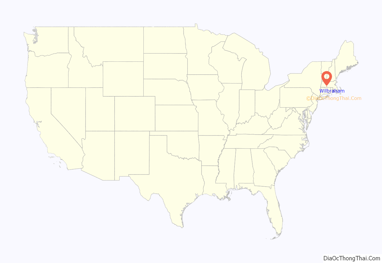
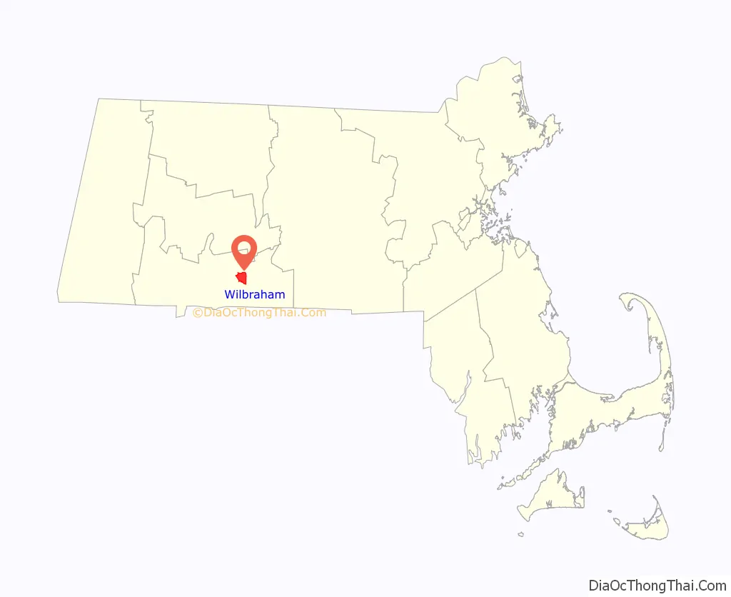
Wilbraham location map. Where is Wilbraham CDP?
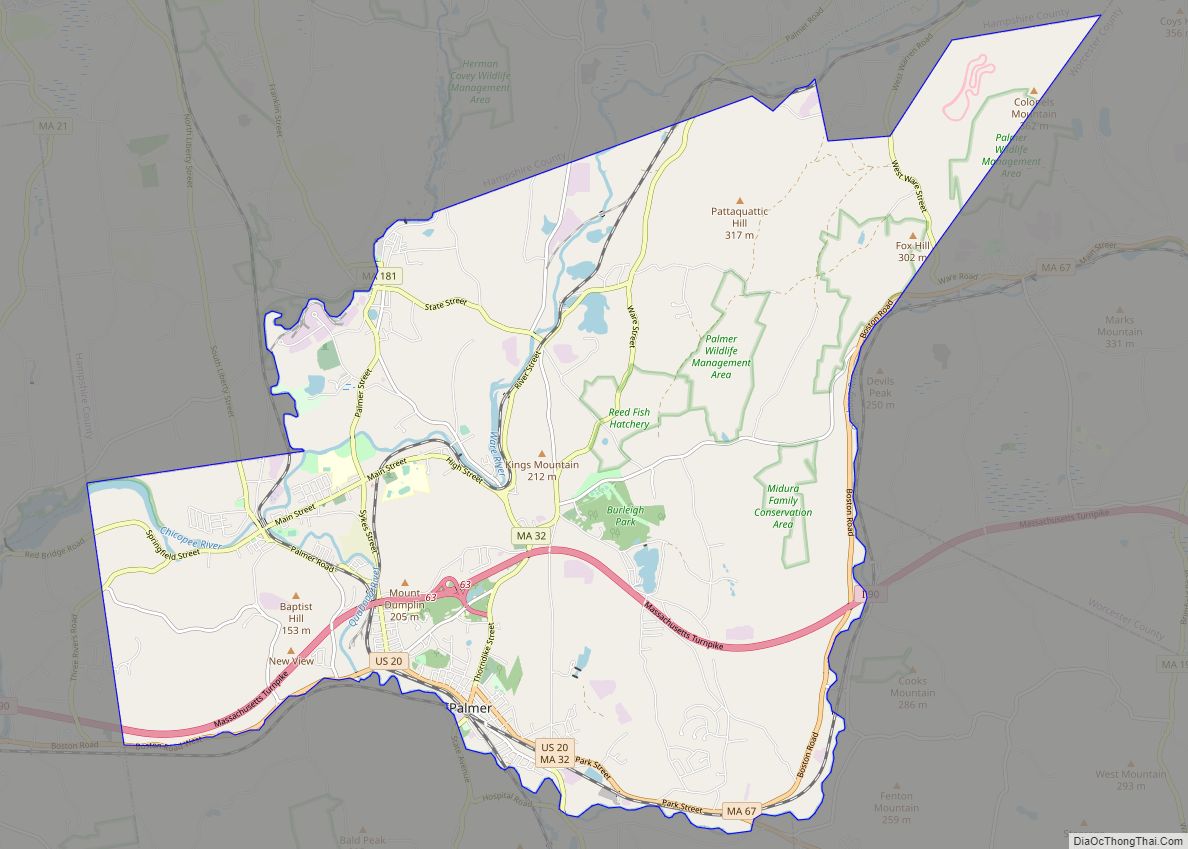
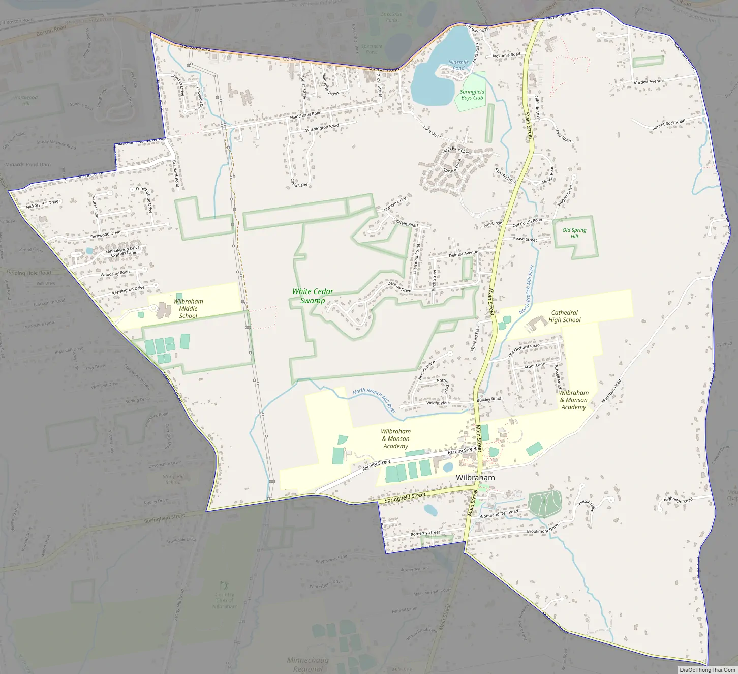
Wilbraham Road Map
Wilbraham city Satellite Map
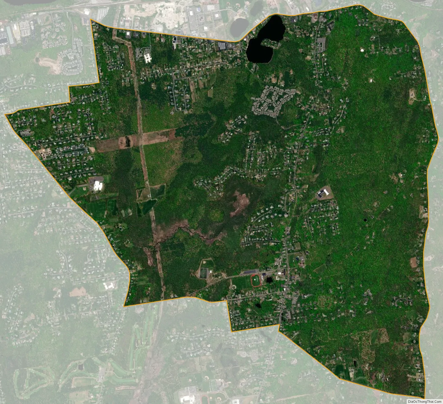
Geography
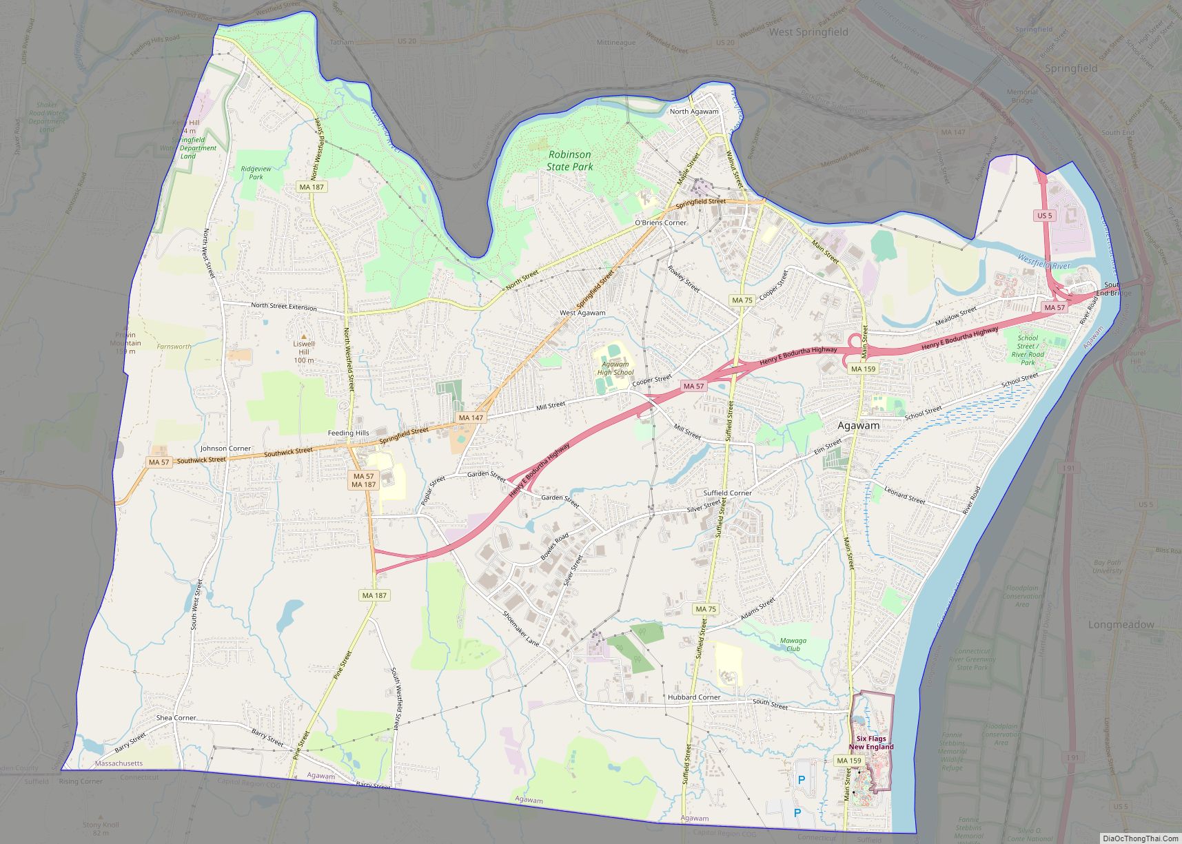
The Wilbraham CDP occupies the central and north-central parts of the town, including the town center area around Main Street at Mountain Road and Springfield Street. The CDP is bordered on the north by U.S. Route 20; on the east by Mountain Road and Ridge Road, running close to the crest of the low Wilbraham Mountains; on the south by Monson Road, Hunting Lane, Ripley Street, and Springfield Street; and on the west by Stony Hill Road, Glen Drive, and Brainard Road. Wilbraham is 9 miles (14 km) east of downtown Springfield.
According to the United States Census Bureau, the CDP has a total area of 5.7 square miles (14.7 km), of which 5.6 square miles (14.5 km) are land and 0.1 square miles (0.2 km), or 1.11%, are water.
See also
Map of Massachusetts State and its subdivision: Map of other states:- Alabama
- Alaska
- Arizona
- Arkansas
- California
- Colorado
- Connecticut
- Delaware
- District of Columbia
- Florida
- Georgia
- Hawaii
- Idaho
- Illinois
- Indiana
- Iowa
- Kansas
- Kentucky
- Louisiana
- Maine
- Maryland
- Massachusetts
- Michigan
- Minnesota
- Mississippi
- Missouri
- Montana
- Nebraska
- Nevada
- New Hampshire
- New Jersey
- New Mexico
- New York
- North Carolina
- North Dakota
- Ohio
- Oklahoma
- Oregon
- Pennsylvania
- Rhode Island
- South Carolina
- South Dakota
- Tennessee
- Texas
- Utah
- Vermont
- Virginia
- Washington
- West Virginia
- Wisconsin
- Wyoming