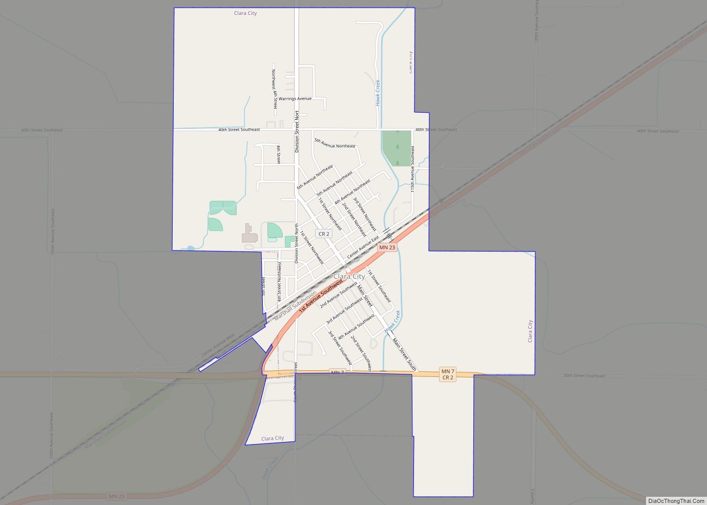
Clara City is a city in Chippewa County, Minnesota, United States. The population was 1,360 at the 2010 census. Clara City city overview: Name: Clara City city LSAD Code: 25 LSAD Description: city (suffix) State: Minnesota County: Chippewa County Elevation: 1,056 ft (322 m) Total Area: 1.88 sq mi (4.87 km²) Land Area: 1.88 sq mi (4.87 km²) Water Area: 0.00 sq mi (0.00 km²) Total ... Read more
Minnesota Cities and Places
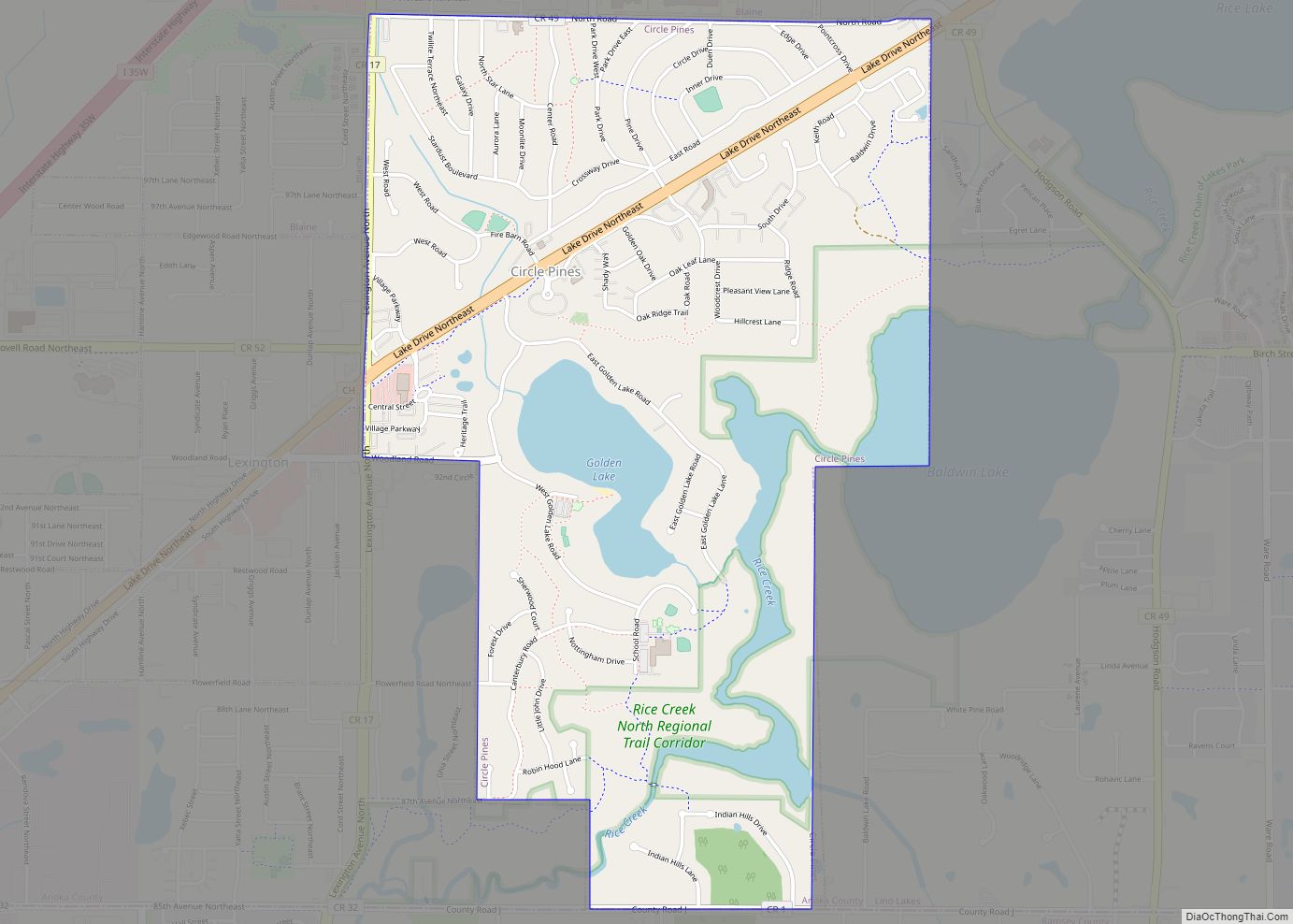
Circle Pines is a city in Anoka County, Minnesota, United States. The population was 5,025 at the 2020 census. Circle Pines city overview: Name: Circle Pines city LSAD Code: 25 LSAD Description: city (suffix) State: Minnesota County: Anoka County Incorporated: April 13, 1950 Elevation: 909 ft (277 m) Total Area: 1.95 sq mi (5.04 km²) Land Area: 1.75 sq mi (4.53 km²) Water ... Read more
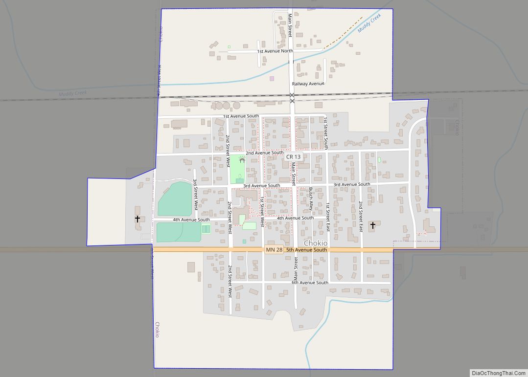
Chokio (/ʃəˈkaɪoʊ/ shə-KY-oh) is a city in Stevens County, Minnesota, United States. The population was 405 at the 2020 census. Chokio city overview: Name: Chokio city LSAD Code: 25 LSAD Description: city (suffix) State: Minnesota County: Stevens County Elevation: 1,125 ft (343 m) Total Area: 0.44 sq mi (1.13 km²) Land Area: 0.44 sq mi (1.13 km²) Water Area: 0.00 sq mi (0.00 km²) Total Population: ... Read more
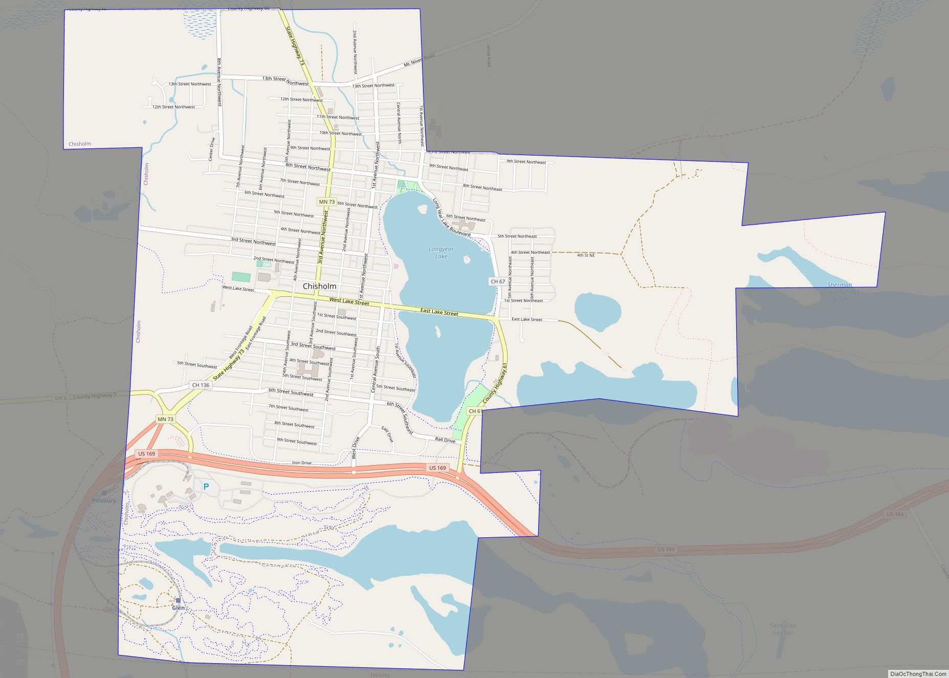
Chisholm is a city in St. Louis County, Minnesota, United States. The population was 4,976 at the 2010 census. The city has been called “The Heart of the Iron Range” due to its location in the middle of the Mesabi Iron Range. Chisholm city overview: Name: Chisholm city LSAD Code: 25 LSAD Description: city (suffix) ... Read more
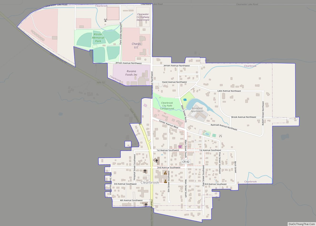
Clearbrook is a city in Clearwater County, Minnesota, United States. The population was 464 at the 2020 census. Clearbrook city overview: Name: Clearbrook city LSAD Code: 25 LSAD Description: city (suffix) State: Minnesota County: Clearwater County Founded: 1907 Incorporated: June 15, 1918 Elevation: 1,348 ft (411 m) Total Area: 0.49 sq mi (1.27 km²) Land Area: 0.49 sq mi (1.27 km²) Water Area: ... Read more
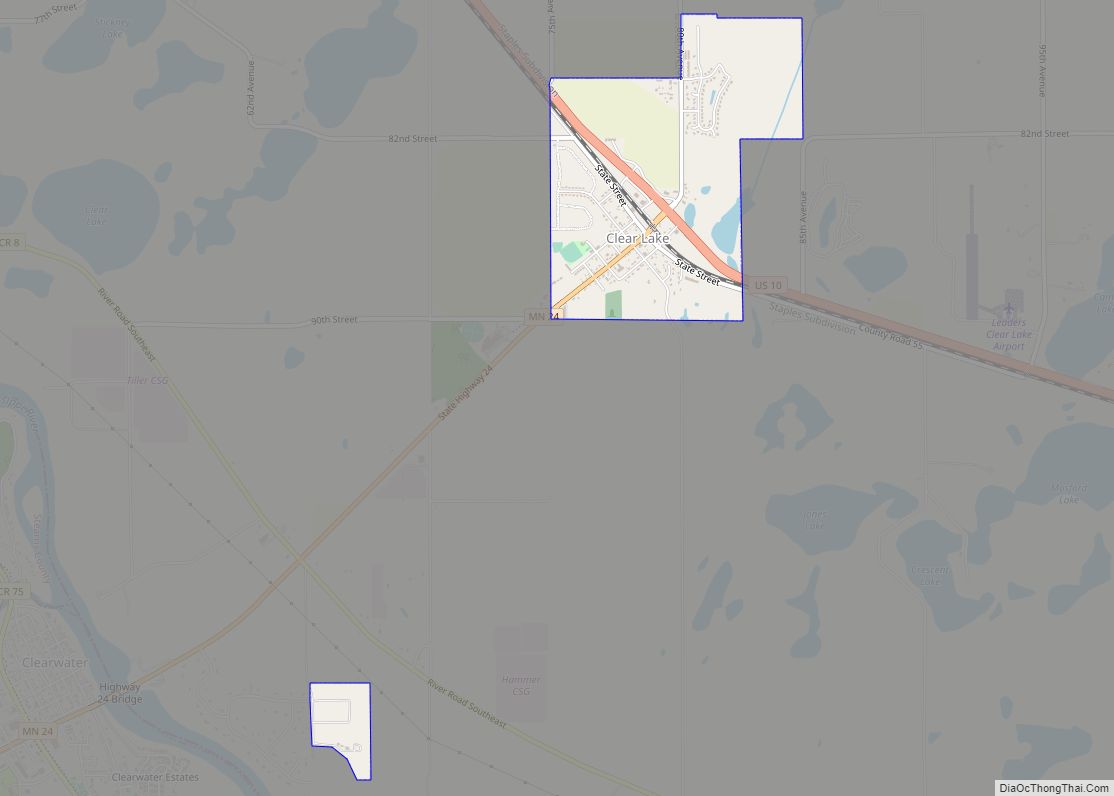
Clear Lake is a city in Sherburne County, Minnesota, United States. The population was 641 at the 2020 census. U.S. Highway 10 and Minnesota State Highway 24 are two of the main routes in Clear Lake. Clear Lake is 13 miles southeast of St. Cloud and 24 miles northwest of Elk River. Clear Lake city ... Read more
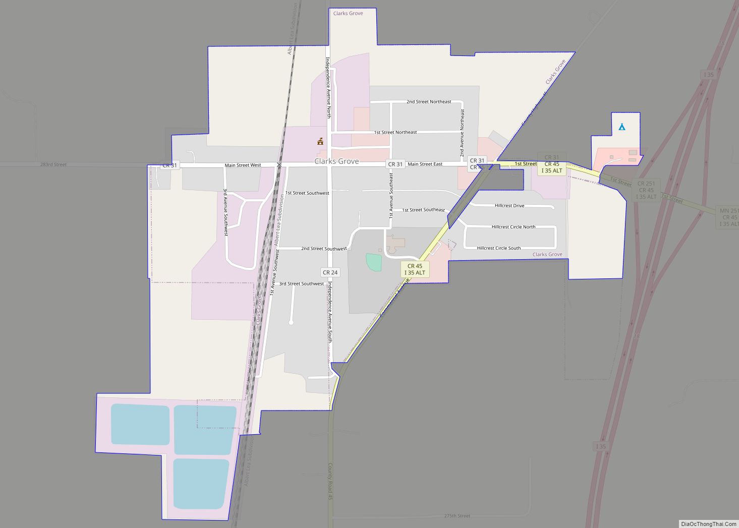
Clarks Grove is a city in Freeborn County, Minnesota, United States. The population was 706 at the 2010 census. Clarks Grove city overview: Name: Clarks Grove city LSAD Code: 25 LSAD Description: city (suffix) State: Minnesota County: Freeborn County Elevation: 1,312 ft (400 m) Total Area: 0.64 sq mi (1.65 km²) Land Area: 0.60 sq mi (1.55 km²) Water Area: 0.04 sq mi (0.10 km²) Total ... Read more
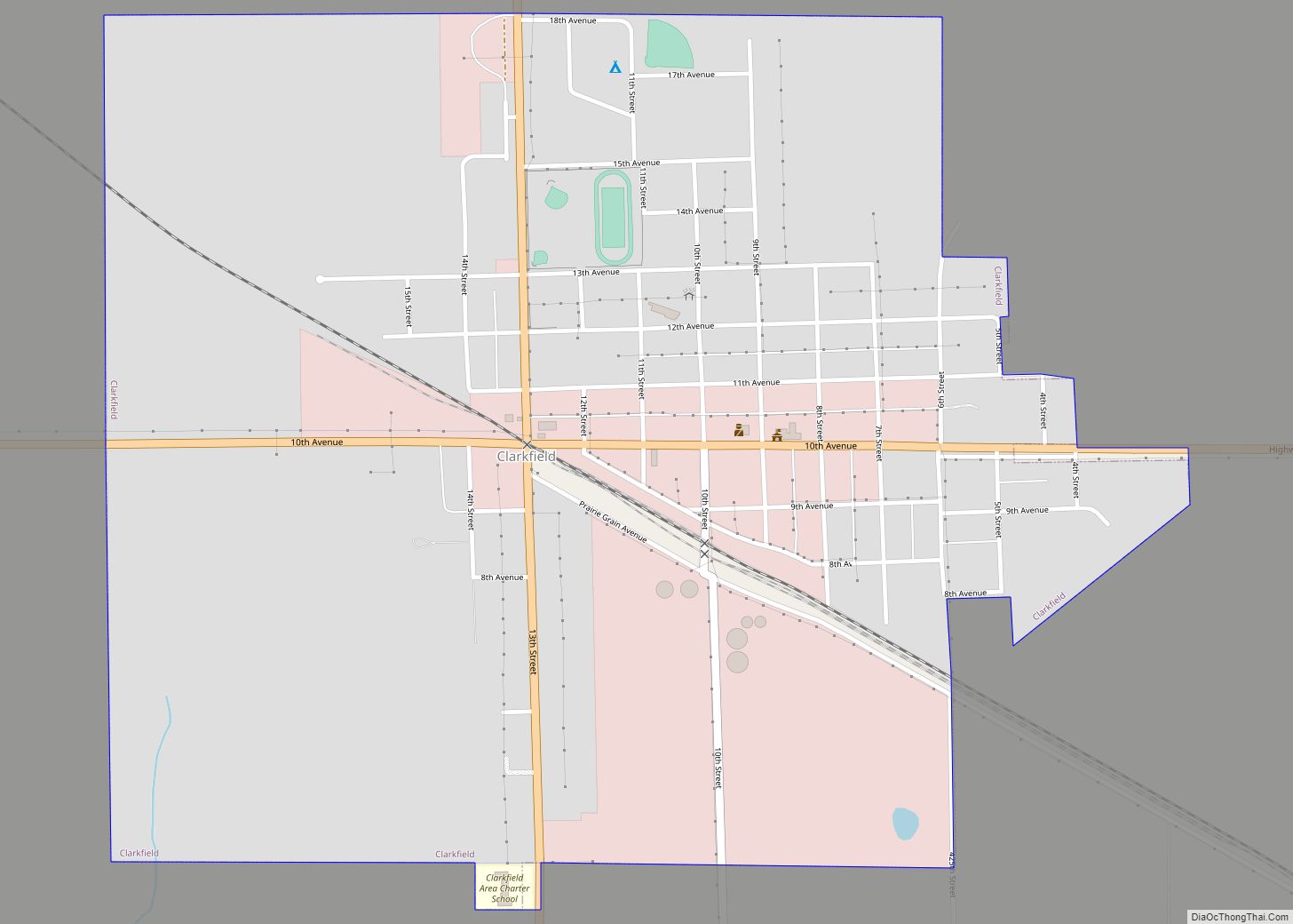
Clarkfield is a city in Yellow Medicine County, Minnesota, United States, surrounded by Friendship Township. The population was 863 at the 2010 census. Clarkfield city overview: Name: Clarkfield city LSAD Code: 25 LSAD Description: city (suffix) State: Minnesota County: Yellow Medicine County Elevation: 1,089 ft (332 m) Total Area: 1.08 sq mi (2.79 km²) Land Area: 1.08 sq mi (2.79 km²) Water Area: ... Read more
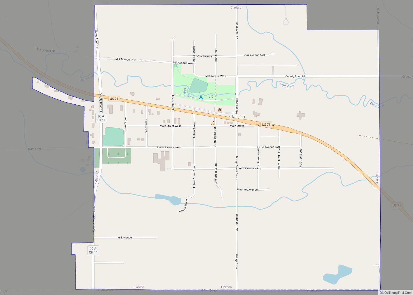
Clarissa is a city in Todd County, Minnesota, United States. The population was 681 at the 2010 census. Clarissa city overview: Name: Clarissa city LSAD Code: 25 LSAD Description: city (suffix) State: Minnesota County: Todd County Elevation: 1,322 ft (403 m) Total Area: 1.01 sq mi (2.63 km²) Land Area: 1.01 sq mi (2.63 km²) Water Area: 0.00 sq mi (0.00 km²) Total Population: 661 Population ... Read more
Clinton is a city in Big Stone County, Minnesota, United States. The city was named for New York Governor DeWitt Clinton. The population was 386 at the 2020 census. Clinton city overview: Name: Clinton city LSAD Code: 25 LSAD Description: city (suffix) State: Minnesota County: Big Stone County Elevation: 1,152 ft (351 m) Total Area: 1.04 sq mi (2.70 km²) ... Read more
Climax is a city in Polk County, Minnesota, United States. It is part of the Grand Forks, ND–MN Metropolitan Statistical Area. The population was 243 at the 2020 census. Climax city overview: Name: Climax city LSAD Code: 25 LSAD Description: city (suffix) State: Minnesota County: Polk County Elevation: 866 ft (264 m) Total Area: 0.94 sq mi (2.43 km²) Land ... Read more
Cleveland is a city in Le Sueur County, Minnesota, United States. The population was 719 at the 2010 census and 747 at the 2020 census. Cleveland city overview: Name: Cleveland city LSAD Code: 25 LSAD Description: city (suffix) State: Minnesota County: Le Sueur County Elevation: 1,033 ft (315 m) Total Area: 0.55 sq mi (1.42 km²) Land Area: 0.55 sq mi (1.42 km²) ... Read more
