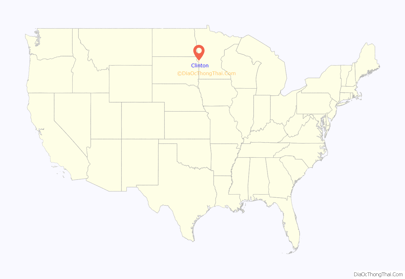
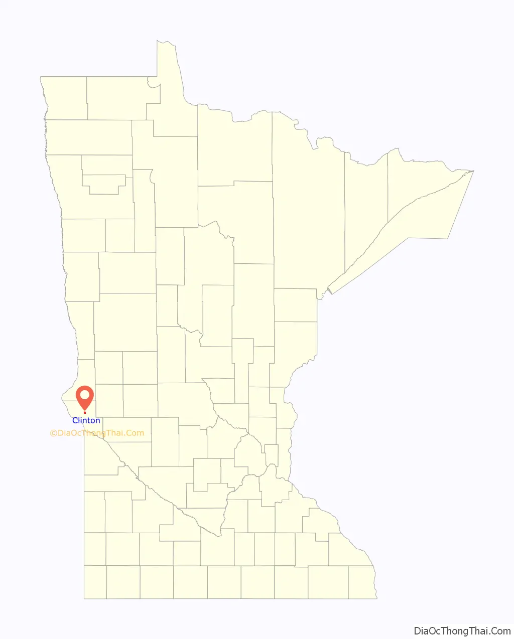
Clinton is a city in Big Stone County, Minnesota, United States. The city was named for New York Governor DeWitt Clinton. The population was 386 at the 2020 census.
| Name: | Clinton city |
|---|---|
| LSAD Code: | 25 |
| LSAD Description: | city (suffix) |
| State: | Minnesota |
| County: | Big Stone County |
| Elevation: | 1,152 ft (351 m) |
| Total Area: | 1.04 sq mi (2.70 km²) |
| Land Area: | 0.96 sq mi (2.48 km²) |
| Water Area: | 0.09 sq mi (0.22 km²) |
| Total Population: | 386 |
| Population Density: | 403.34/sq mi (155.69/km²) |
| ZIP code: | 56225 |
| Area code: | 320 |
| FIPS code: | 2711980 |
| GNISfeature ID: | 0641338 |
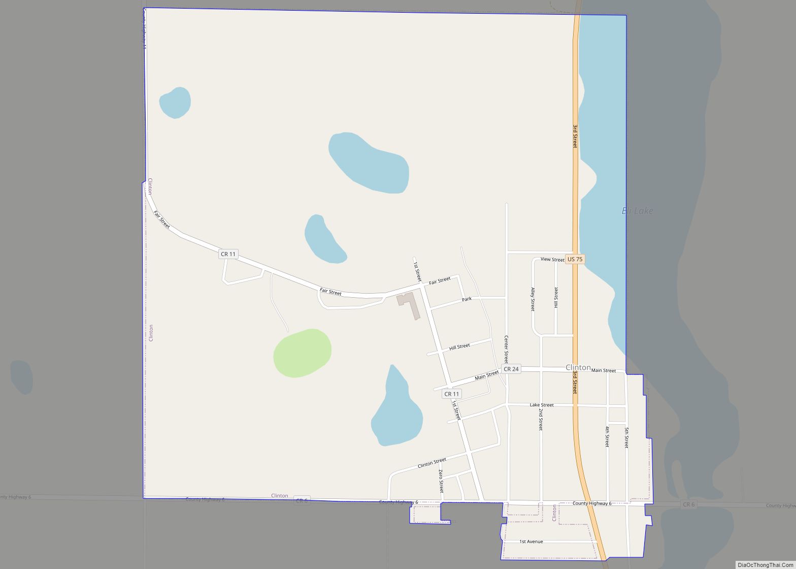
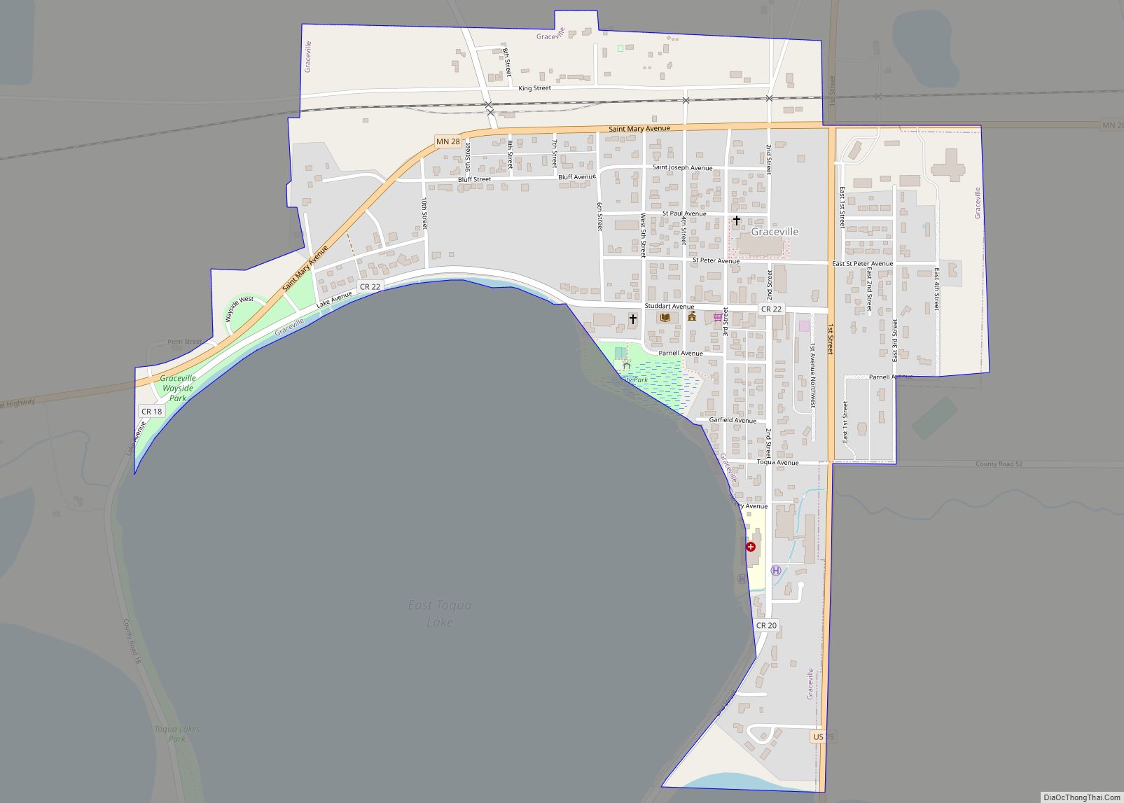
Online Interactive Map
Click on ![]() to view map in "full screen" mode.
to view map in "full screen" mode.
Clinton location map. Where is Clinton city?
History
The village was settled about 1877 as Central, Minnesota, with a post office of that name from 1878 to 1885. The name was changed to Clinton in 1885, and the village was platted. The Chicago, Milwaukee and St. Paul Railroad station, named Batavia, was moved to the village in 1885, but the station name was not changed to Clinton until the village was incorporated in 1890. The railroad loading platform, named Rupert, two miles south of the village, was moved to the village in 1890.
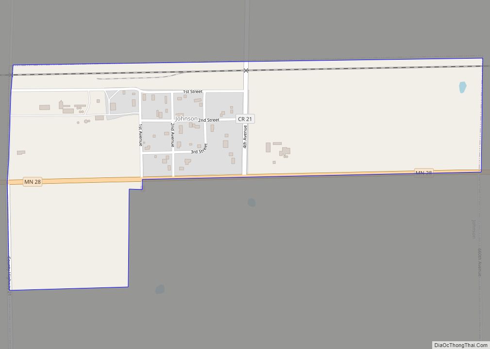
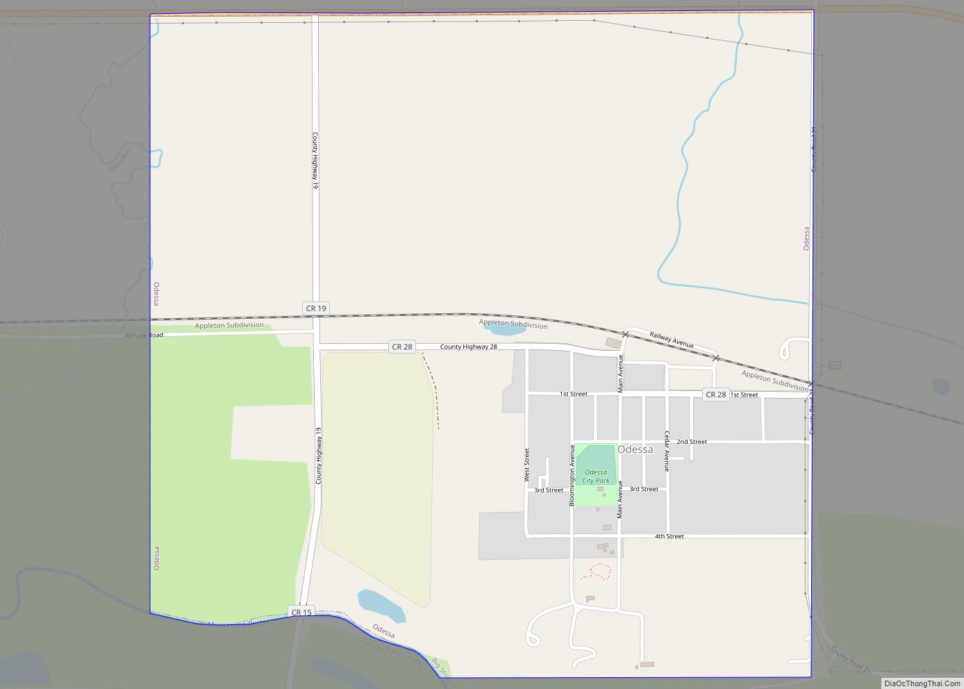
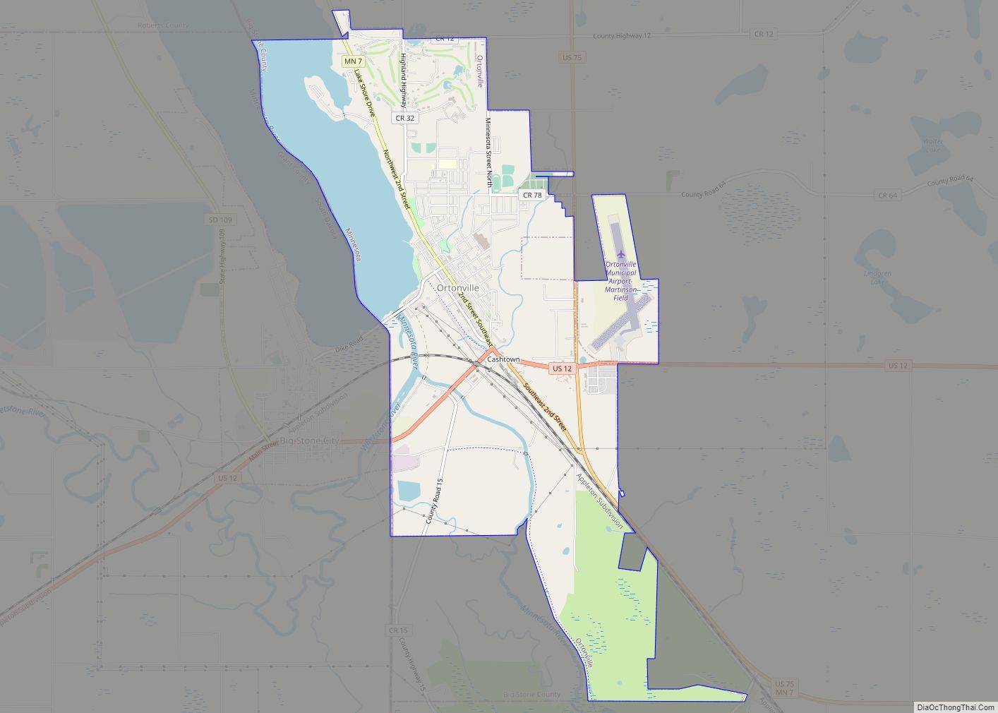
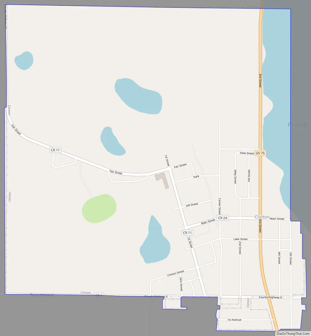
Clinton Road Map
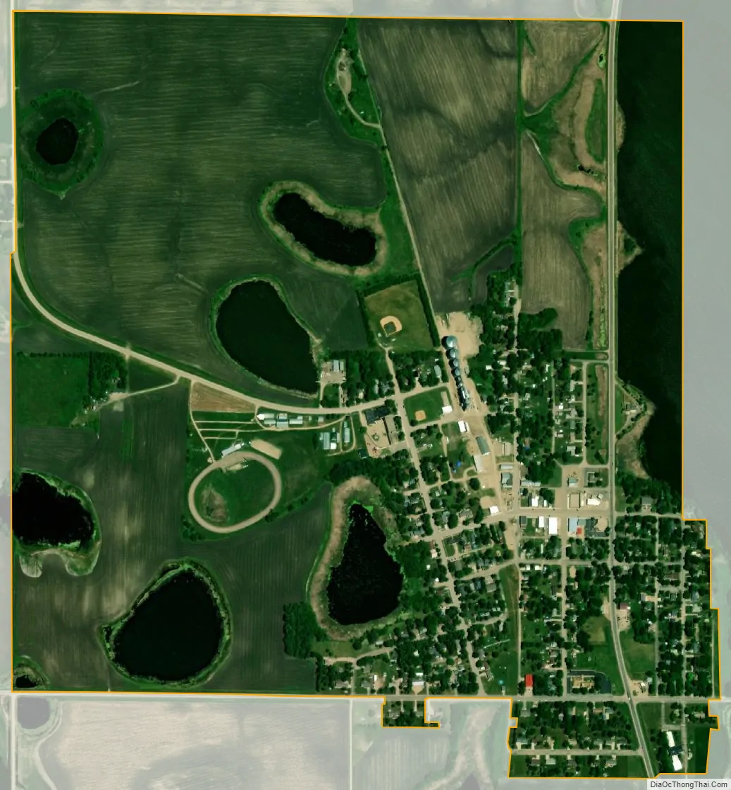
Clinton city Satellite Map
Geography
According to the United States Census Bureau, the city has a total area of 1.03 square miles (2.67 km), of which, 0.95 square miles (2.46 km) is land and 0.08 square miles (0.21 km) is water. Clinton is the home to the Big Stone County Fair and Clinton-Graceville-Beardsley Elementary School.
See also
Map of Minnesota State and its subdivision:- Aitkin
- Anoka
- Becker
- Beltrami
- Benton
- Big Stone
- Blue Earth
- Brown
- Carlton
- Carver
- Cass
- Chippewa
- Chisago
- Clay
- Clearwater
- Cook
- Cottonwood
- Crow Wing
- Dakota
- Dodge
- Douglas
- Faribault
- Fillmore
- Freeborn
- Goodhue
- Grant
- Hennepin
- Houston
- Hubbard
- Isanti
- Itasca
- Jackson
- Kanabec
- Kandiyohi
- Kittson
- Koochiching
- Lac qui Parle
- Lake
- Lake of the Woods
- Lake Superior
- Le Sueur
- Lincoln
- Lyon
- Mahnomen
- Marshall
- Martin
- McLeod
- Meeker
- Mille Lacs
- Morrison
- Mower
- Murray
- Nicollet
- Nobles
- Norman
- Olmsted
- Otter Tail
- Pennington
- Pine
- Pipestone
- Polk
- Pope
- Ramsey
- Red Lake
- Redwood
- Renville
- Rice
- Rock
- Roseau
- Saint Louis
- Scott
- Sherburne
- Sibley
- Stearns
- Steele
- Stevens
- Swift
- Todd
- Traverse
- Wabasha
- Wadena
- Waseca
- Washington
- Watonwan
- Wilkin
- Winona
- Wright
- Yellow Medicine
- Alabama
- Alaska
- Arizona
- Arkansas
- California
- Colorado
- Connecticut
- Delaware
- District of Columbia
- Florida
- Georgia
- Hawaii
- Idaho
- Illinois
- Indiana
- Iowa
- Kansas
- Kentucky
- Louisiana
- Maine
- Maryland
- Massachusetts
- Michigan
- Minnesota
- Mississippi
- Missouri
- Montana
- Nebraska
- Nevada
- New Hampshire
- New Jersey
- New Mexico
- New York
- North Carolina
- North Dakota
- Ohio
- Oklahoma
- Oregon
- Pennsylvania
- Rhode Island
- South Carolina
- South Dakota
- Tennessee
- Texas
- Utah
- Vermont
- Virginia
- Washington
- West Virginia
- Wisconsin
- Wyoming