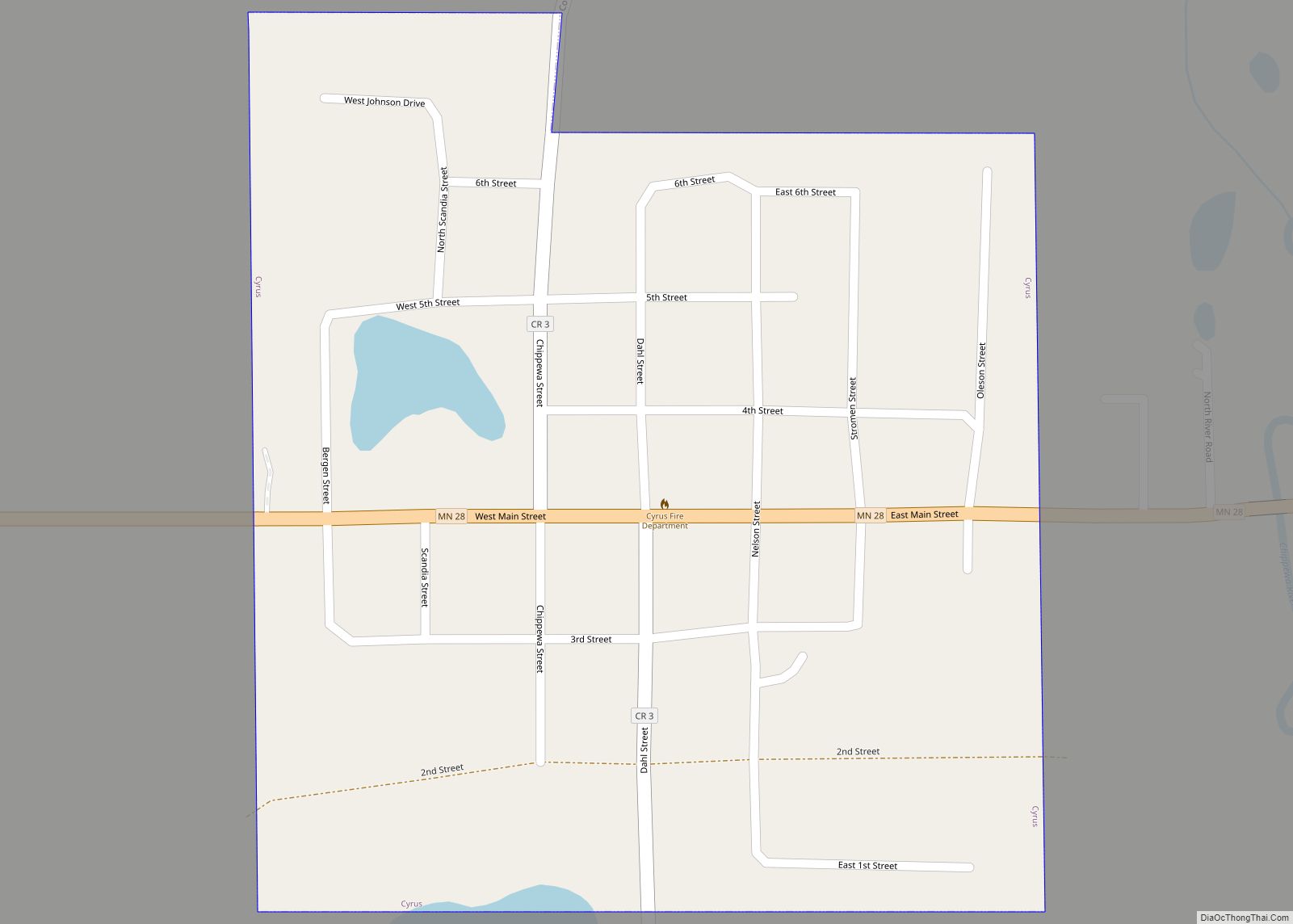
Cyrus is a city in Pope County, Minnesota, United States, along the Chippewa River. The population was 305 at the 2020 census. Cyrus city overview: Name: Cyrus city LSAD Code: 25 LSAD Description: city (suffix) State: Minnesota County: Pope County Founded: 1882 Elevation: 1,155 ft (352 m) Total Area: 0.27 sq mi (0.69 km²) Land Area: 0.27 sq mi (0.69 km²) Water Area: ... Read more
Minnesota Cities and Places
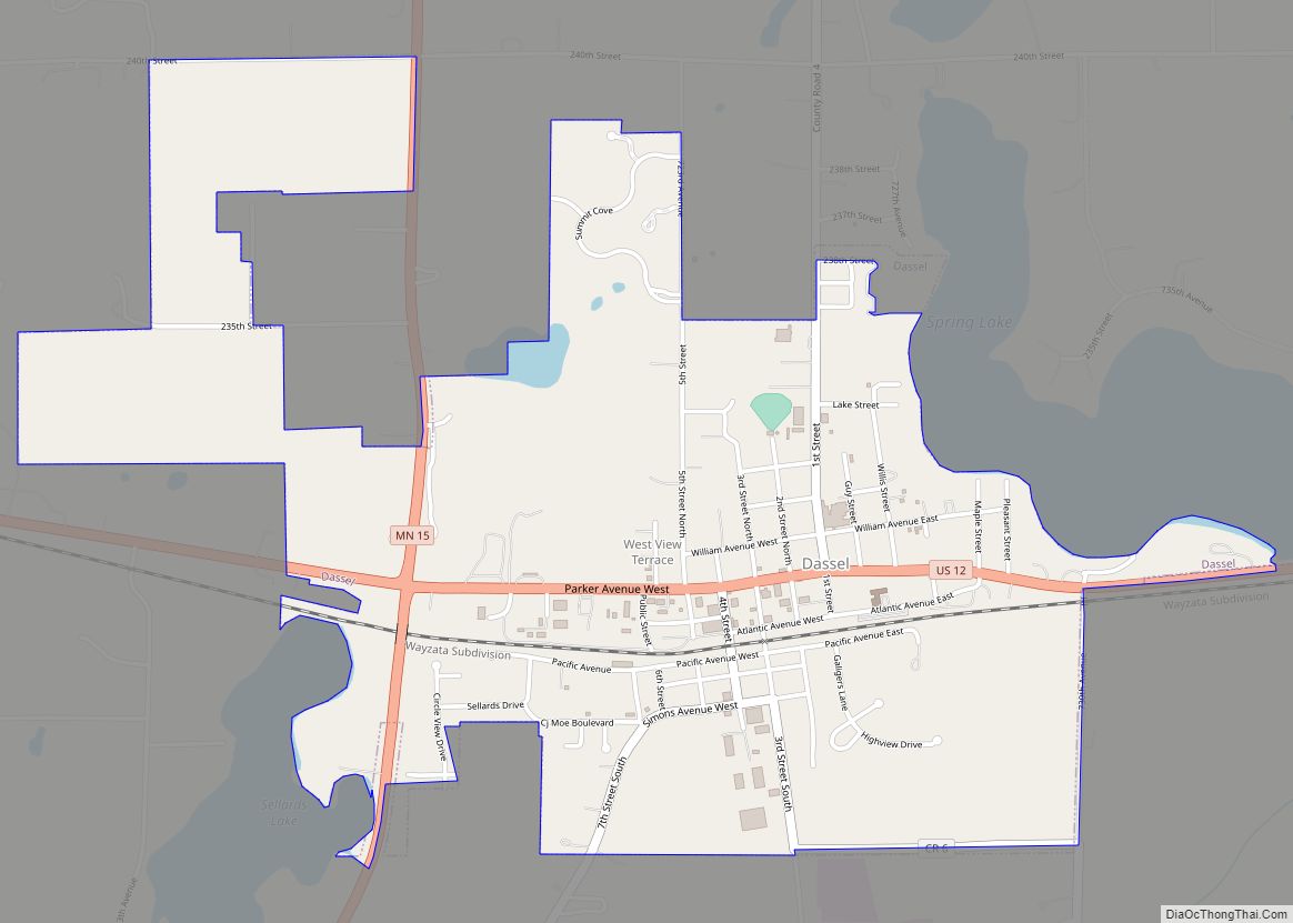
Dassel is a city in Meeker County, Minnesota, United States. The population was 1,469 at the 2010 census. Dassel city overview: Name: Dassel city LSAD Code: 25 LSAD Description: city (suffix) State: Minnesota County: Meeker County Elevation: 1,089 ft (332 m) Total Area: 1.69 sq mi (4.39 km²) Land Area: 1.68 sq mi (4.36 km²) Water Area: 0.01 sq mi (0.03 km²) Total Population: 1,472 Population ... Read more
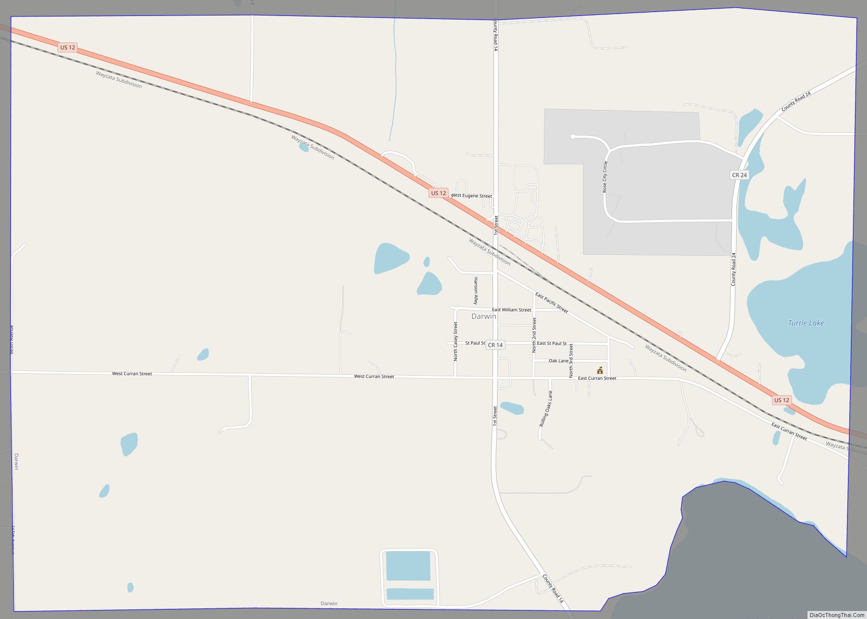
Darwin is a city in Meeker County, Minnesota, United States. The population was 350 at the 2010 census. It is one of several places claiming to be home of the largest ball of twine in the world. Darwin city overview: Name: Darwin city LSAD Code: 25 LSAD Description: city (suffix) State: Minnesota County: Meeker County ... Read more
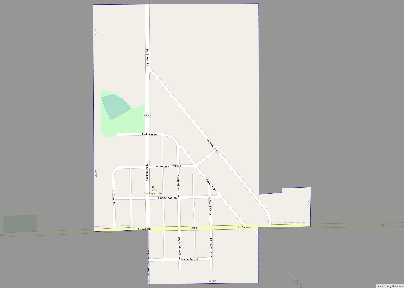
Darfur is a city in Watonwan County, Minnesota, United States. The population was 108 at the 2010 census. Darfur city overview: Name: Darfur city LSAD Code: 25 LSAD Description: city (suffix) State: Minnesota County: Watonwan County Elevation: 1,161 ft (354 m) Total Area: 0.23 sq mi (0.59 km²) Land Area: 0.23 sq mi (0.59 km²) Water Area: 0.00 sq mi (0.00 km²) Total Population: 84 Population ... Read more
Dayton is a city in Hennepin and Wright counties in the U.S. state of Minnesota. The population was 7,262 at the 2020 census. Dayton is mainly located within Hennepin County, but a part of the city extends into Wright County as well. It is the northernmost city in Hennepin County and is a suburb of ... Read more
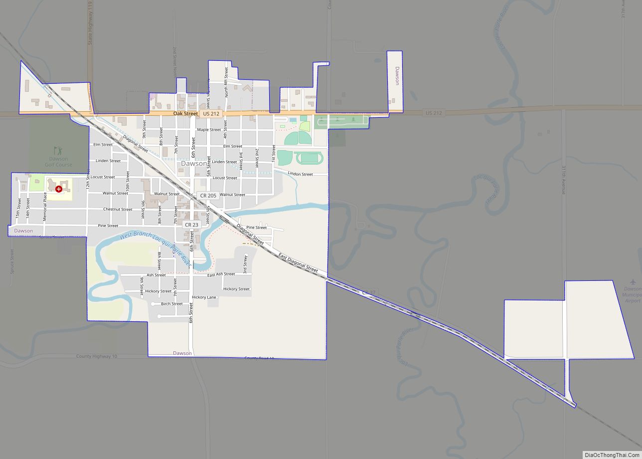
Dawson is a city in Lac qui Parle County, Minnesota, United States. The population was 1,466 at the 2020 census. Dawson city overview: Name: Dawson city LSAD Code: 25 LSAD Description: city (suffix) State: Minnesota County: Lac qui Parle County Elevation: 1,043 ft (318 m) Total Area: 1.44 sq mi (3.72 km²) Land Area: 1.44 sq mi (3.72 km²) Water Area: 0.00 sq mi (0.00 km²) ... Read more
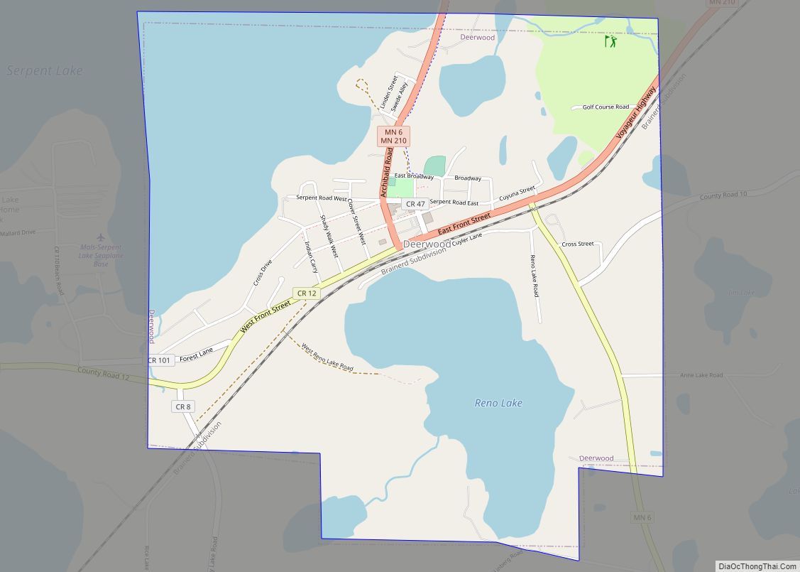
Deerwood is a city in Crow Wing County, Minnesota, United States. The population was 526 at the 2020 census. It is part of the Brainerd Micropolitan Statistical Area. Deerwood city overview: Name: Deerwood city LSAD Code: 25 LSAD Description: city (suffix) State: Minnesota County: Crow Wing County Elevation: 1,276 ft (389 m) Total Area: 2.08 sq mi (5.39 km²) Land ... Read more
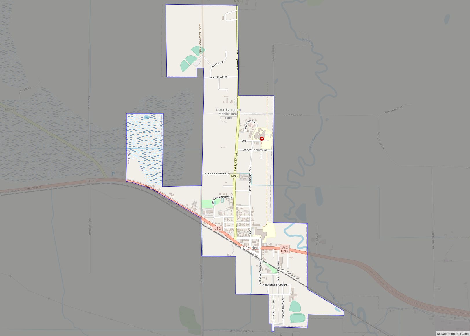
Deer River is a city in Itasca County, Minnesota, United States. The population was 930 at the 2010 census. U.S. Highway 2 and Minnesota State Highways 6 and 46 are three of the main routes in the community. Deer River city overview: Name: Deer River city LSAD Code: 25 LSAD Description: city (suffix) State: Minnesota ... Read more
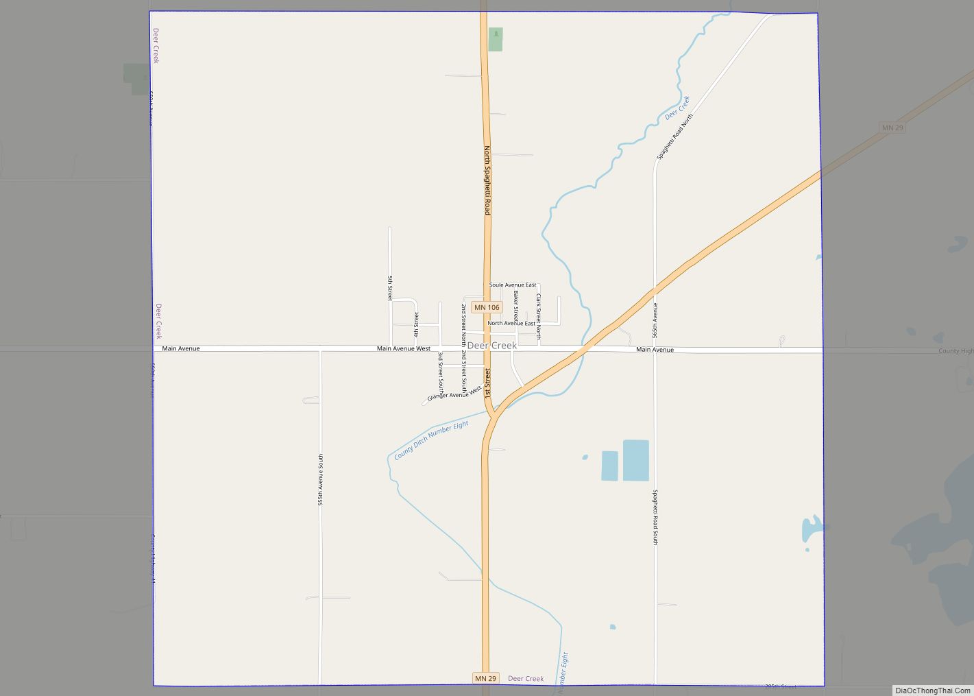
Deer Creek is a city in Otter Tail County, Minnesota, United States. The population was 330 at the 2020 census. Deer Creek city overview: Name: Deer Creek city LSAD Code: 25 LSAD Description: city (suffix) State: Minnesota County: Otter Tail County Elevation: 1,394 ft (425 m) Total Area: 4.03 sq mi (10.43 km²) Land Area: 4.01 sq mi (10.38 km²) Water Area: 0.02 sq mi ... Read more
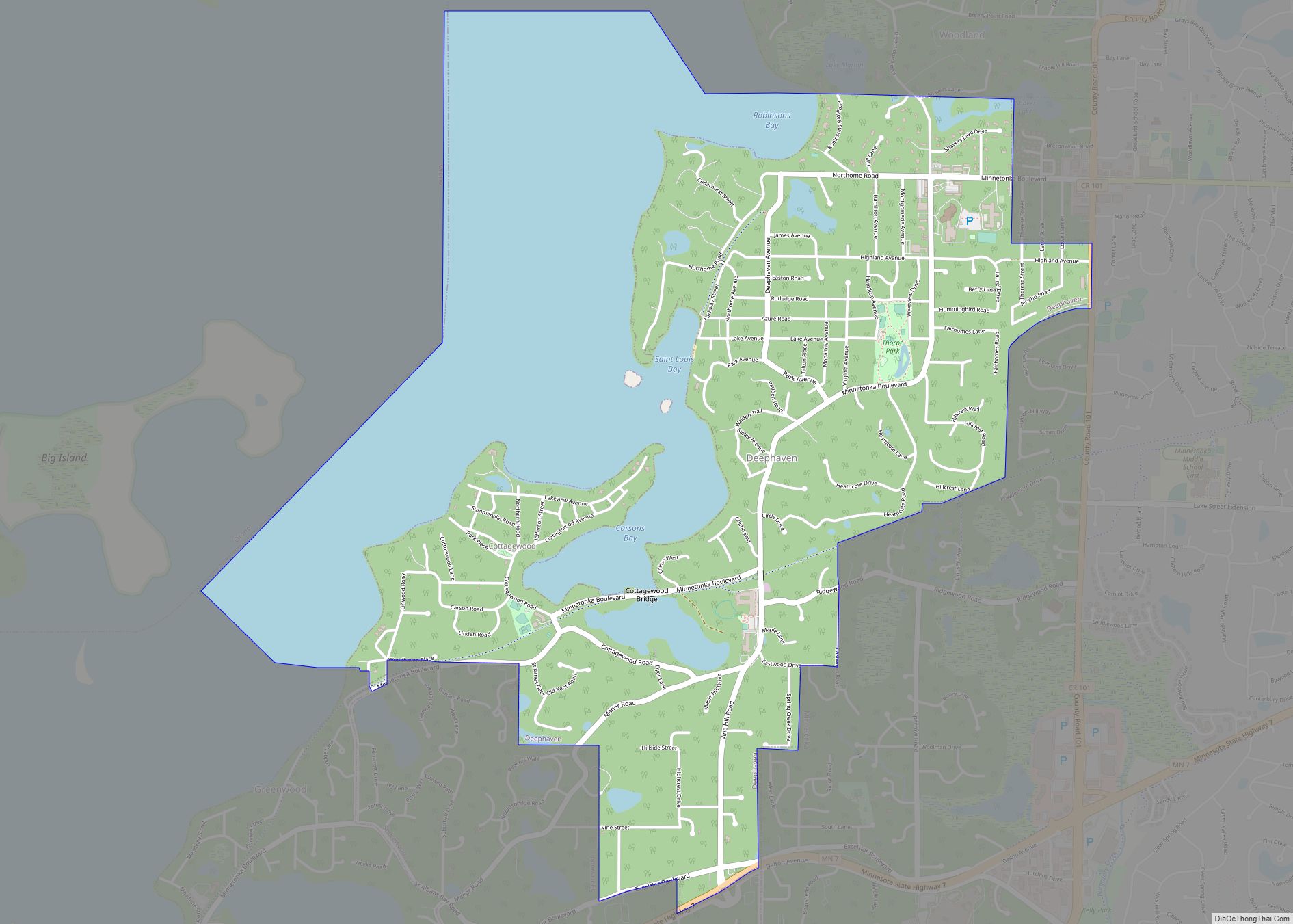
Deephaven is a small city in Hennepin County, Minnesota, United States. The community is located on Lake Minnetonka. The community’s center is the historic Cottagewood General Store, which has been serving the Lake Minnetonka area since 1895. It is located 14 miles (23 km) west-southwest of downtown Minneapolis. The population was 3,642 as of the 2010 ... Read more
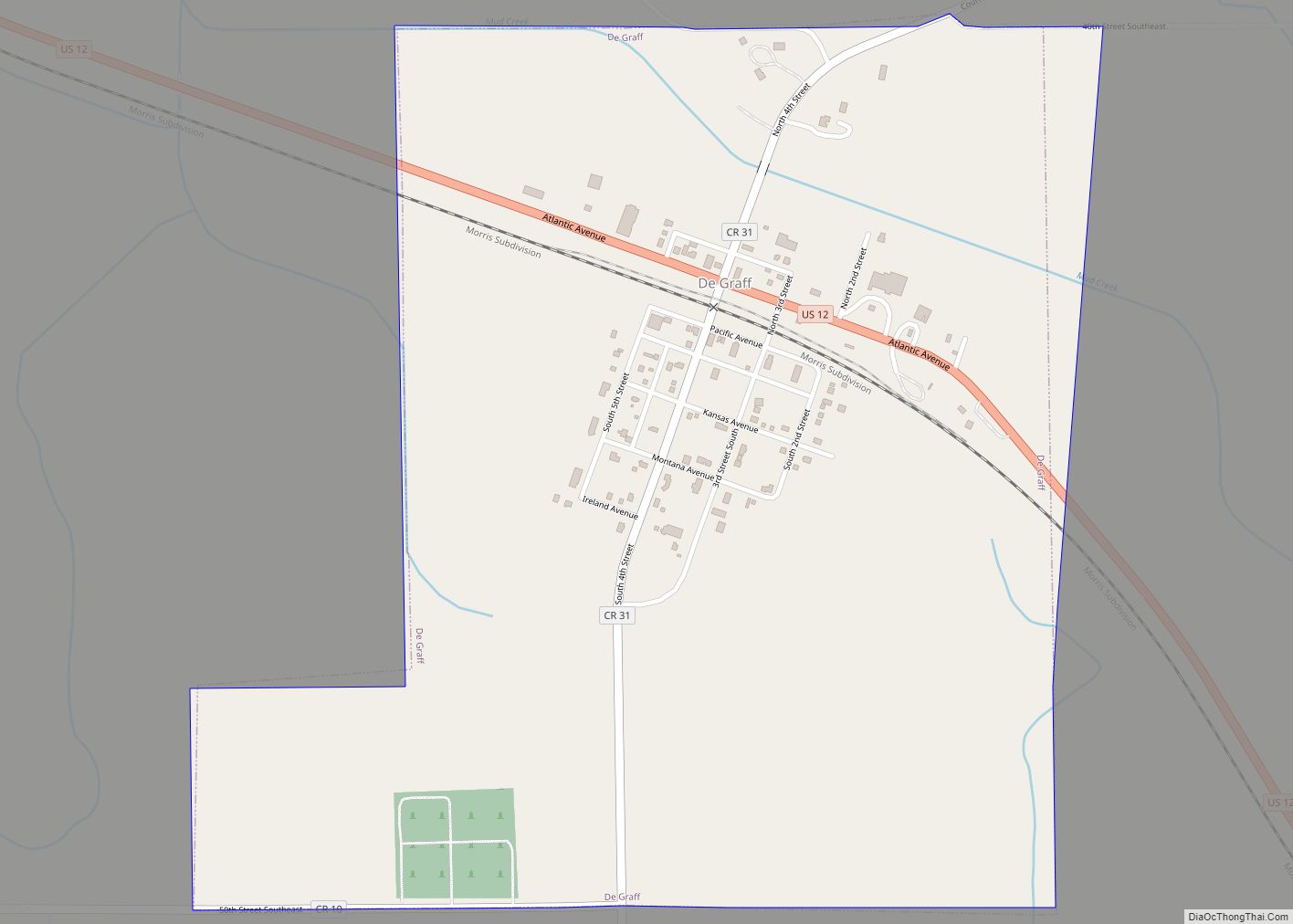
De Graff is a city in Swift County, Minnesota, United States. The population was 115 at the 2010 census. De Graff city overview: Name: De Graff city LSAD Code: 25 LSAD Description: city (suffix) State: Minnesota County: Swift County Elevation: 1,060 ft (323 m) Total Area: 0.84 sq mi (2.17 km²) Land Area: 0.84 sq mi (2.17 km²) Water Area: 0.00 sq mi (0.00 km²) Total ... Read more
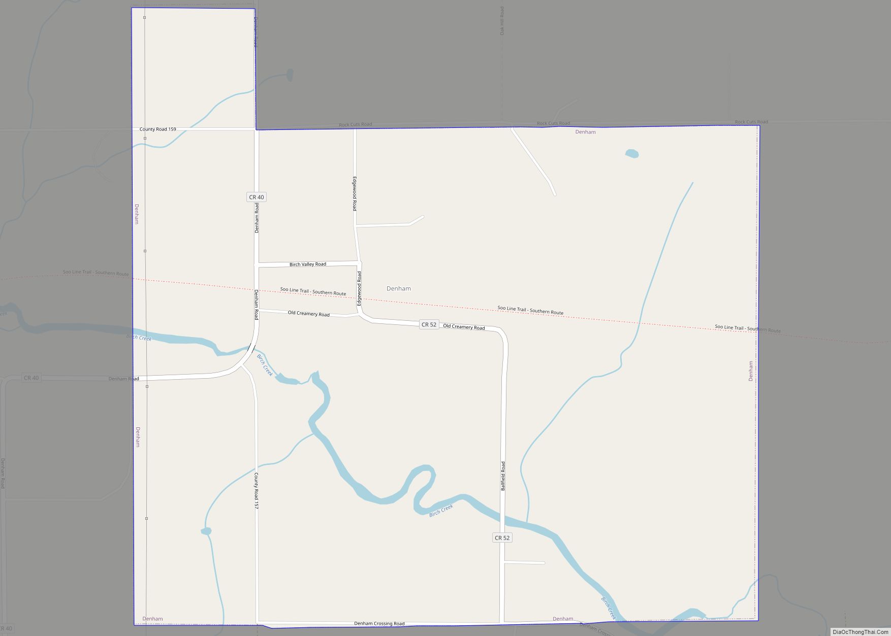
Denham is a city in Pine County, Minnesota, United States. The population was 37 at the 2020 census. Denham city overview: Name: Denham city LSAD Code: 25 LSAD Description: city (suffix) State: Minnesota County: Pine County Incorporated: February 28, 1939 Elevation: 1,188 ft (362 m) Total Area: 1.33 sq mi (3.43 km²) Land Area: 1.33 sq mi (3.43 km²) Water Area: 0.00 sq mi (0.00 km²) ... Read more
