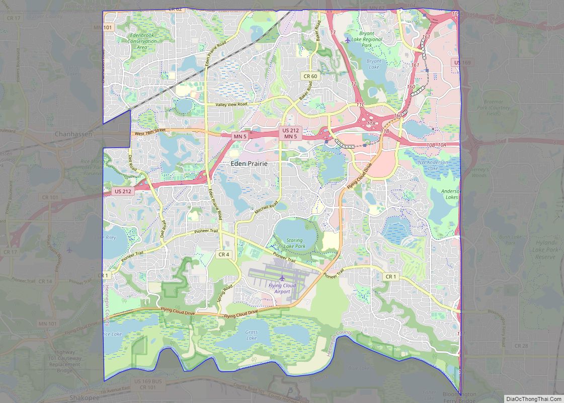
Eden Prairie is a city 12 miles (19 km) southwest of downtown Minneapolis in Hennepin County and the 16th-largest city in the State of Minnesota, United States. At the 2020 census, it had a population of 64,198. The city is adjacent to the north bank of the Minnesota River, upstream from its confluence with the Mississippi ... Read more
Minnesota Cities and Places
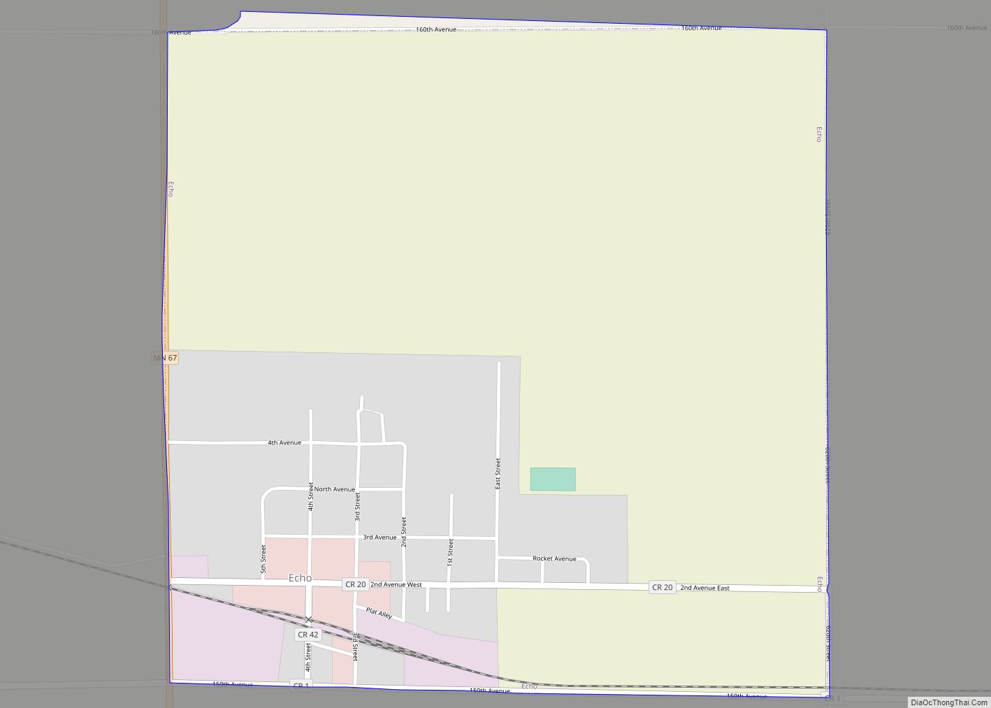
Echo is a city in Yellow Medicine County, Minnesota, United States. The population was 243 at the 2020 census. Echo city overview: Name: Echo city LSAD Code: 25 LSAD Description: city (suffix) State: Minnesota County: Yellow Medicine County Founded: 1884 Incorporated: 1892 Elevation: 1,079 ft (329 m) Total Area: 0.37 sq mi (0.95 km²) Land Area: 0.37 sq mi (0.95 km²) Water Area: ... Read more
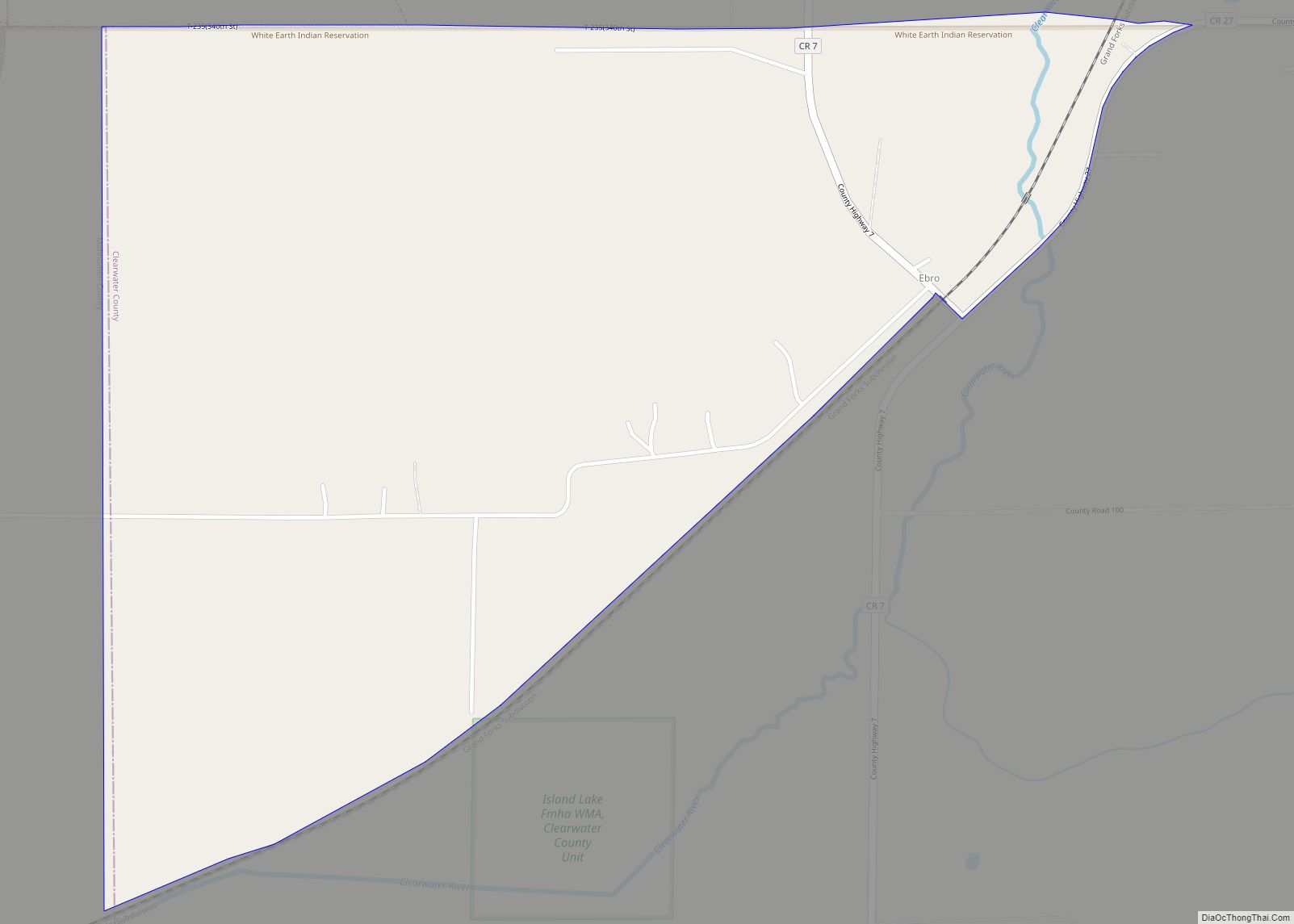
Ebro is a census-designated place and unincorporated community in Falk Township, Clearwater County, Minnesota, United States. Its population was 64 as of the 2010 census. Ebro CDP overview: Name: Ebro CDP LSAD Code: 57 LSAD Description: CDP (suffix) State: Minnesota County: Clearwater County Elevation: 1,450 ft (440 m) Total Area: 0.88 sq mi (2.27 km²) Land Area: 0.88 sq mi (2.27 km²) Water ... Read more
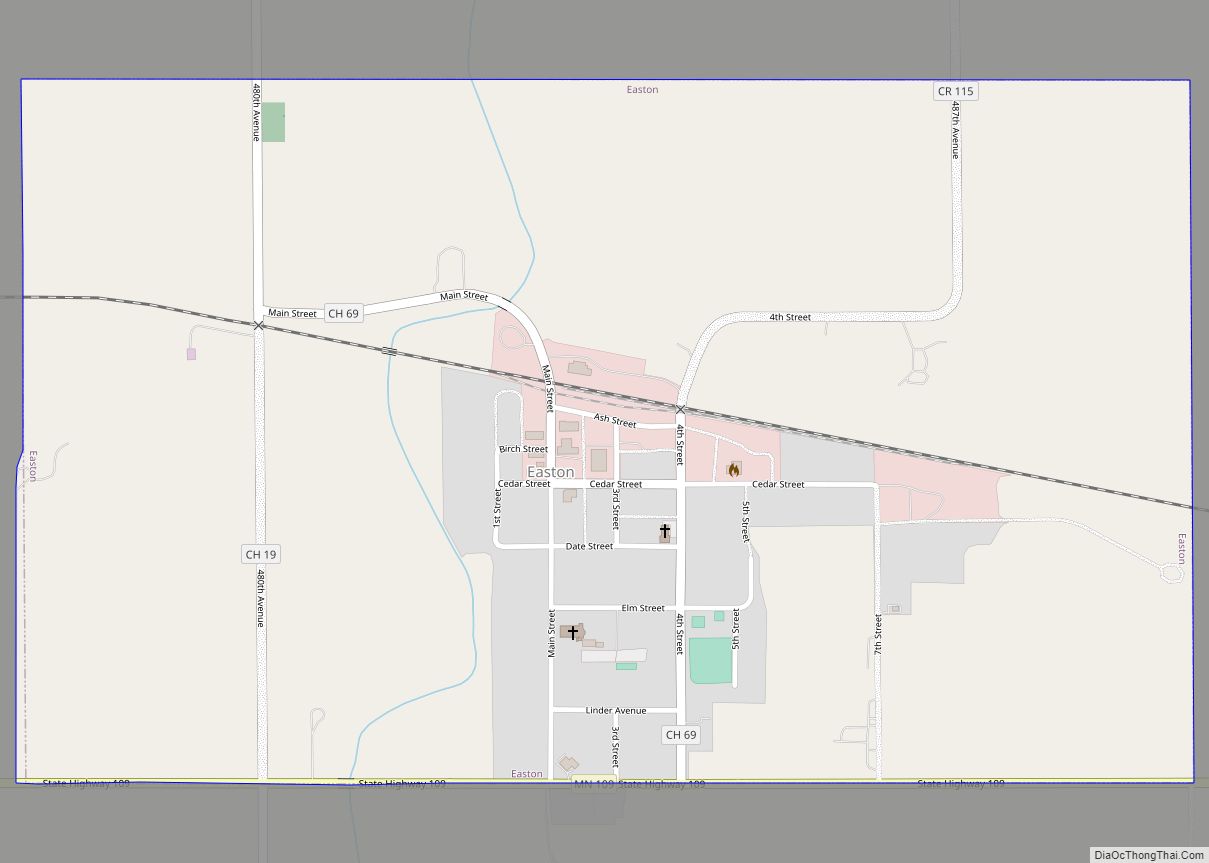
Easton is a city in Faribault County, Minnesota, United States. The population was 199 at the 2010 census. Easton city overview: Name: Easton city LSAD Code: 25 LSAD Description: city (suffix) State: Minnesota County: Faribault County Elevation: 1,063 ft (324 m) Total Area: 0.95 sq mi (2.46 km²) Land Area: 0.95 sq mi (2.46 km²) Water Area: 0.00 sq mi (0.00 km²) Total Population: 177 Population ... Read more
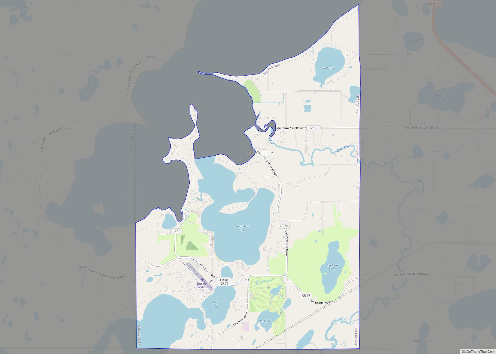
East Gull Lake is a city in Cass County, Minnesota, United States. The population was 986 at the 2020 census. The nearest semi-urban area is that of Brainerd and Baxter. It is part of the Brainerd Micropolitan Statistical Area. East Gull Lake is in Central Minnesota’s Brainerd Lakes Area and takes its name from the ... Read more
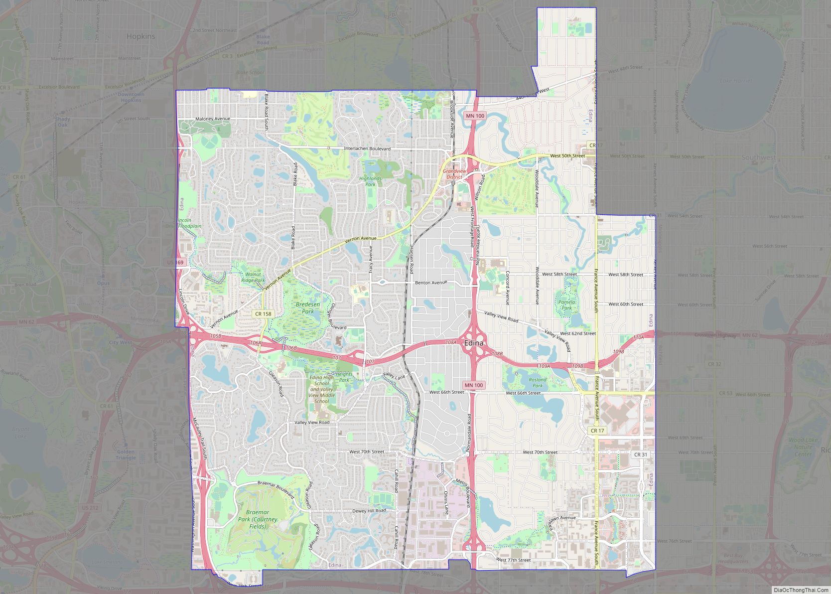
Edina (locally /iːˈdaɪnə/ (listen) ee-DY-nə, /ɪˈdaɪnə/ ih-DY-nə) is a city in Hennepin County, Minnesota, United States and a first-ring suburb of Minneapolis. The population was 53,494 at the 2020 census, making it the 18th most populous city in Minnesota. Edina began as a small farming and milling community along Minnehaha Creek in the 1860s and ... Read more
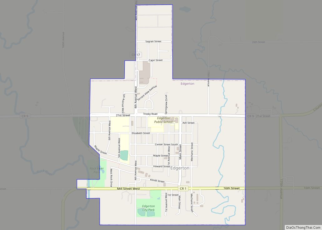
Edgerton is a city in Pipestone County, Minnesota, United States, located along the Rock River. The population was 1,189 at the 2010 census. Edgerton city overview: Name: Edgerton city LSAD Code: 25 LSAD Description: city (suffix) State: Minnesota County: Pipestone County Elevation: 1,578 ft (481 m) Total Area: 1.18 sq mi (3.05 km²) Land Area: 1.18 sq mi (3.05 km²) Water Area: 0.00 sq mi ... Read more
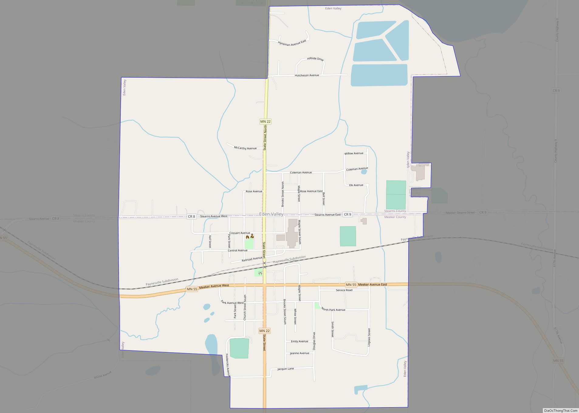
Eden Valley is a city in Meeker and Stearns counties in the U.S. state of Minnesota. The population was 1,042 at the 2010 census. Most of Eden Valley is in Meeker County; the Stearns County portion is part of the St. Cloud Metropolitan Statistical Area. Eden Valley city overview: Name: Eden Valley city LSAD Code: ... Read more
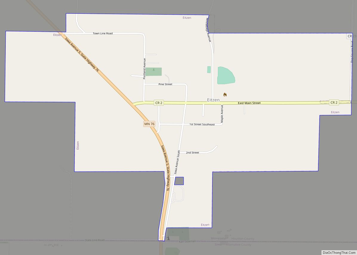
Eitzen is a city in Houston County, Minnesota, United States. The population was 243 at the 2010 census. Eitzen city overview: Name: Eitzen city LSAD Code: 25 LSAD Description: city (suffix) State: Minnesota County: Houston County Elevation: 1,155 ft (352 m) Total Area: 0.61 sq mi (1.58 km²) Land Area: 0.61 sq mi (1.58 km²) Water Area: 0.00 sq mi (0.00 km²) Total Population: 279 Population ... Read more
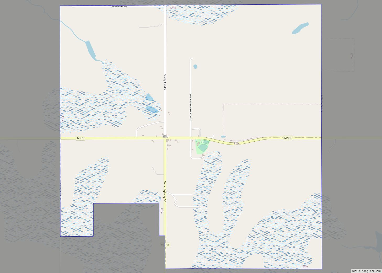
Effie is a city in Itasca County, Minnesota, United States. The population was 123 at the 2010 census. Minnesota State Highways 1 and 38 are two of the main routes in the community. Effie city overview: Name: Effie city LSAD Code: 25 LSAD Description: city (suffix) State: Minnesota County: Itasca County Elevation: 1,388 ft (423 m) Total ... Read more
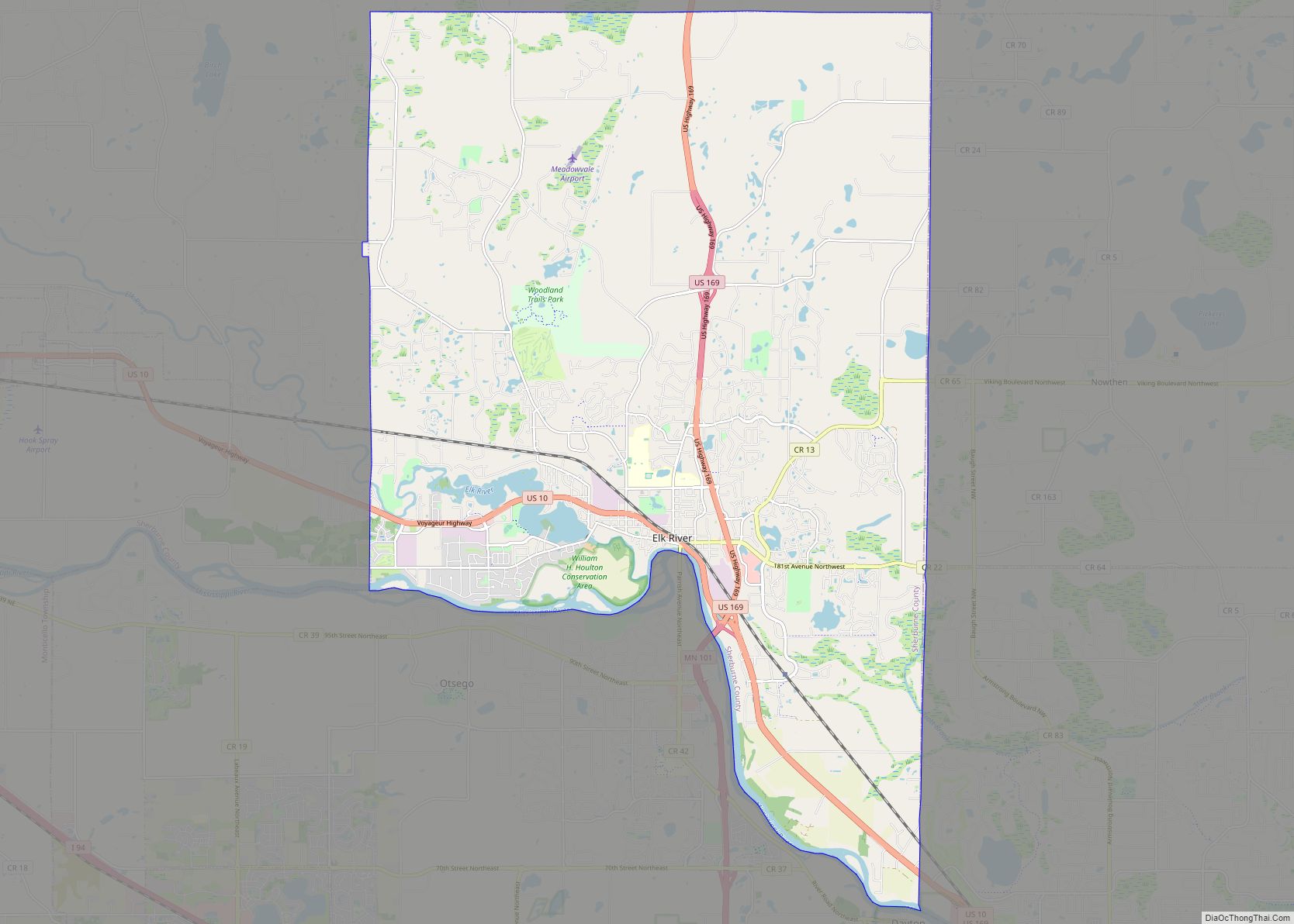
Elk River is a city in Sherburne County, Minnesota, United States, approximately 34 miles northwest of Minneapolis. It is situated at the confluence of the Mississippi and Elk Rivers. The population was 25,835 at the 2020 census, making Elk River the second largest city in the Central Minnesota region after St. Cloud. It is the ... Read more
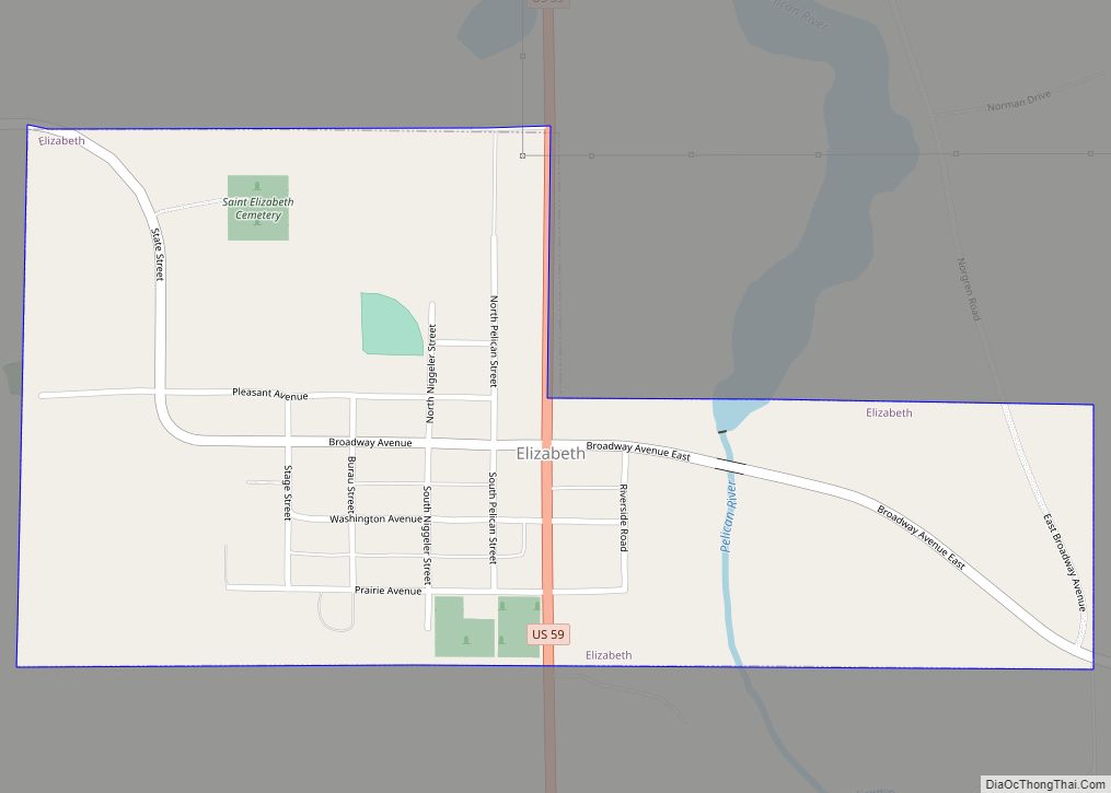
Elizabeth is a city in Otter Tail County, Minnesota, United States. The population was 168 at the 2020 census. Elizabeth city overview: Name: Elizabeth city LSAD Code: 25 LSAD Description: city (suffix) State: Minnesota County: Otter Tail County Founded: 1872 Elevation: 1,250 ft (381 m) Total Area: 0.37 sq mi (0.97 km²) Land Area: 0.37 sq mi (0.97 km²) Water Area: 0.00 sq mi (0.00 km²) ... Read more
