Elgin is a city in Wabasha County, Minnesota, United States on Minnesota State Highway 42. The population was 1,089 at the 2010 census. Its annual festival is Elgin Cheese Days. Elgin city overview: Name: Elgin city LSAD Code: 25 LSAD Description: city (suffix) State: Minnesota County: Wabasha County Elevation: 1,060 ft (323 m) Total Area: 0.92 sq mi (2.38 km²) ... Read more
Minnesota Cities and Places
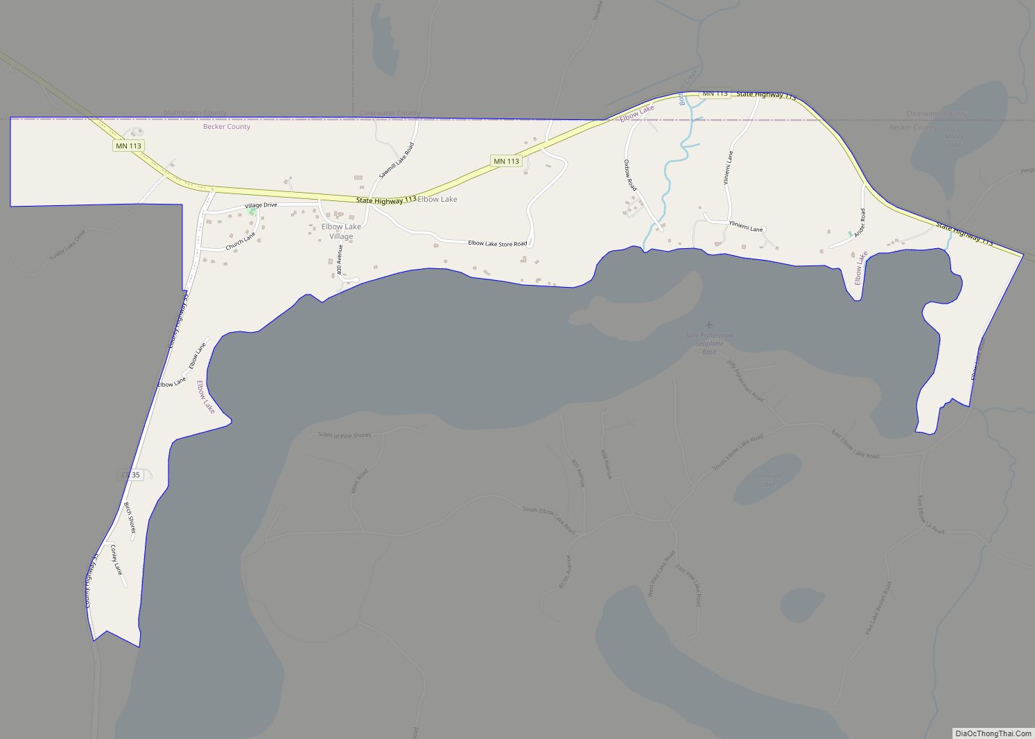
Elbow Lake is a census-designated place in Becker and Clearwater counties in Minnesota, United States. Its population was 95 at the 2010 census. Elbow Lake CDP overview: Name: Elbow Lake CDP LSAD Code: 57 LSAD Description: CDP (suffix) State: Minnesota County: Becker County, Clearwater County Elevation: 1,601 ft (488 m) Total Area: 1.34 sq mi (3.46 km²) Land Area: 1.34 sq mi ... Read more
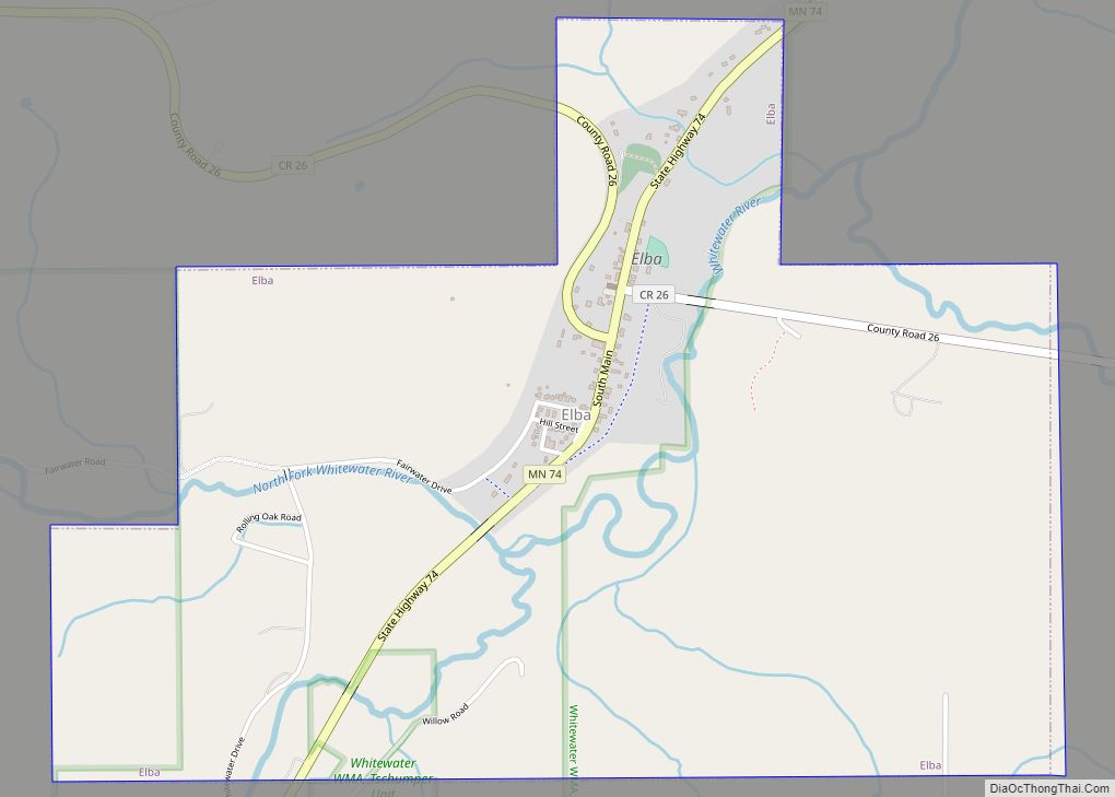
Elba is a city in Winona County, Minnesota, United States. The population was 152 at the 2010 census. It is on Minnesota State Highway 74 just north of Whitewater State Park. Elba city overview: Name: Elba city LSAD Code: 25 LSAD Description: city (suffix) State: Minnesota County: Winona County Elevation: 738 ft (225 m) Total Area: 1.93 sq mi ... Read more
Elmdale is a city in Morrison County, Minnesota, United States. The population was 114 at the 2020 census. Elmdale city overview: Name: Elmdale city LSAD Code: 25 LSAD Description: city (suffix) State: Minnesota County: Morrison County Elevation: 1,165 ft (355 m) Total Area: 3.44 sq mi (8.91 km²) Land Area: 3.44 sq mi (8.91 km²) Water Area: 0.00 sq mi (0.00 km²) Total Population: 114 Population ... Read more
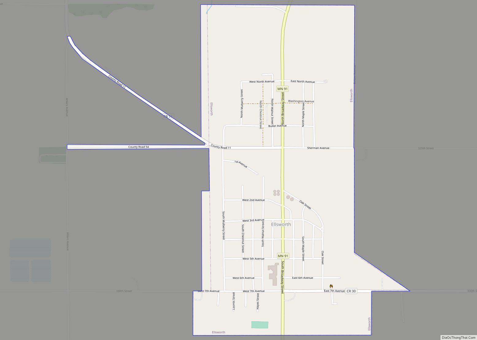
Ellsworth is a city in Nobles County, Minnesota, United States. The population was 463 at the 2010 census. The local school district is the Ellsworth Public School. Ellsworth city overview: Name: Ellsworth city LSAD Code: 25 LSAD Description: city (suffix) State: Minnesota County: Nobles County Elevation: 1,450 ft (442 m) Total Area: 0.66 sq mi (1.71 km²) Land Area: 0.66 sq mi ... Read more
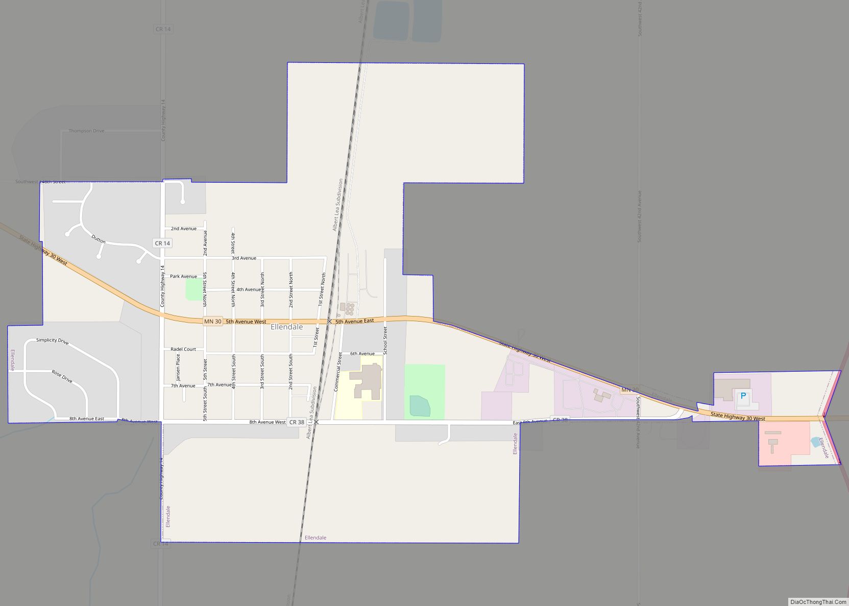
Ellendale is a city in Steele County, Minnesota, United States. The population was 691 at the 2010 census. Ellendale city overview: Name: Ellendale city LSAD Code: 25 LSAD Description: city (suffix) State: Minnesota County: Steele County Elevation: 1,280 ft (390 m) Total Area: 0.83 sq mi (2.16 km²) Land Area: 0.83 sq mi (2.16 km²) Water Area: 0.00 sq mi (0.00 km²) Total Population: 676 Population ... Read more
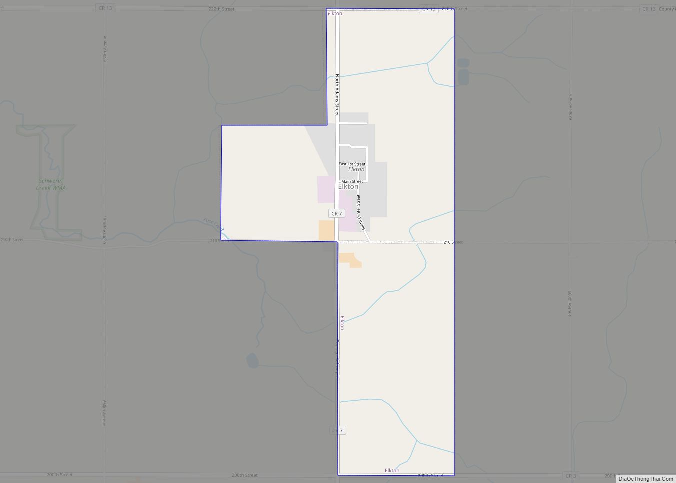
Elkton is a city in Marshall Township, Mower County, Minnesota, United States. The population was 141 at the 2010 census. Elkton city overview: Name: Elkton city LSAD Code: 25 LSAD Description: city (suffix) State: Minnesota County: Mower County Elevation: 1,394 ft (425 m) Total Area: 1.28 sq mi (3.32 km²) Land Area: 1.28 sq mi (3.32 km²) Water Area: 0.00 sq mi (0.00 km²) Total Population: ... Read more
Elko New Market is a city in Scott County, Minnesota, United States. It was founded in 2006 through a merger of bordering cities Elko and New Market. The population was 4,846 at the 2020 census. Served by Interstate 35 and Scott County Road 2, the city contains one public school, and is notable as the ... Read more
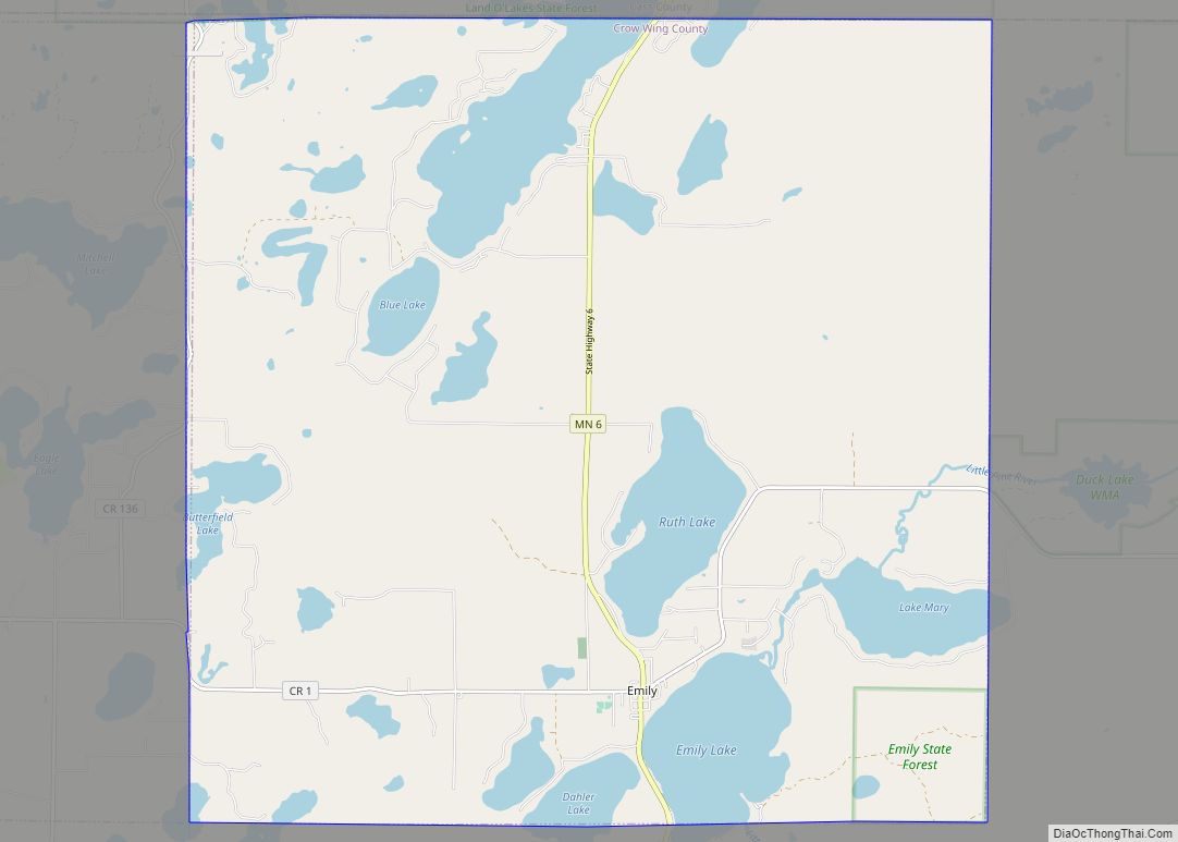
Emily is a city in Crow Wing County, Minnesota, United States. The population was 813 at the 2010 census. It is part of the Brainerd Micropolitan Statistical Area. Minnesota State Highway 6 and Crow Wing County Road 1 are the main routes in the community. Emily city overview: Name: Emily city LSAD Code: 25 LSAD ... Read more
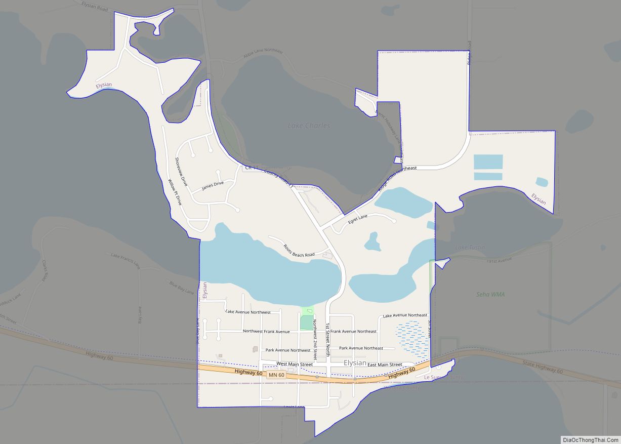
Elysian (/ɛˈliːzjən/ el-EE-zyən) is a city in Le Sueur and Waseca counties in the U.S. state of Minnesota. The population was 708 at the 2020 Census. The city is distinct from Elysian Township. Elysian city overview: Name: Elysian city LSAD Code: 25 LSAD Description: city (suffix) State: Minnesota County: Le Sueur County, Waseca County Elevation: ... Read more
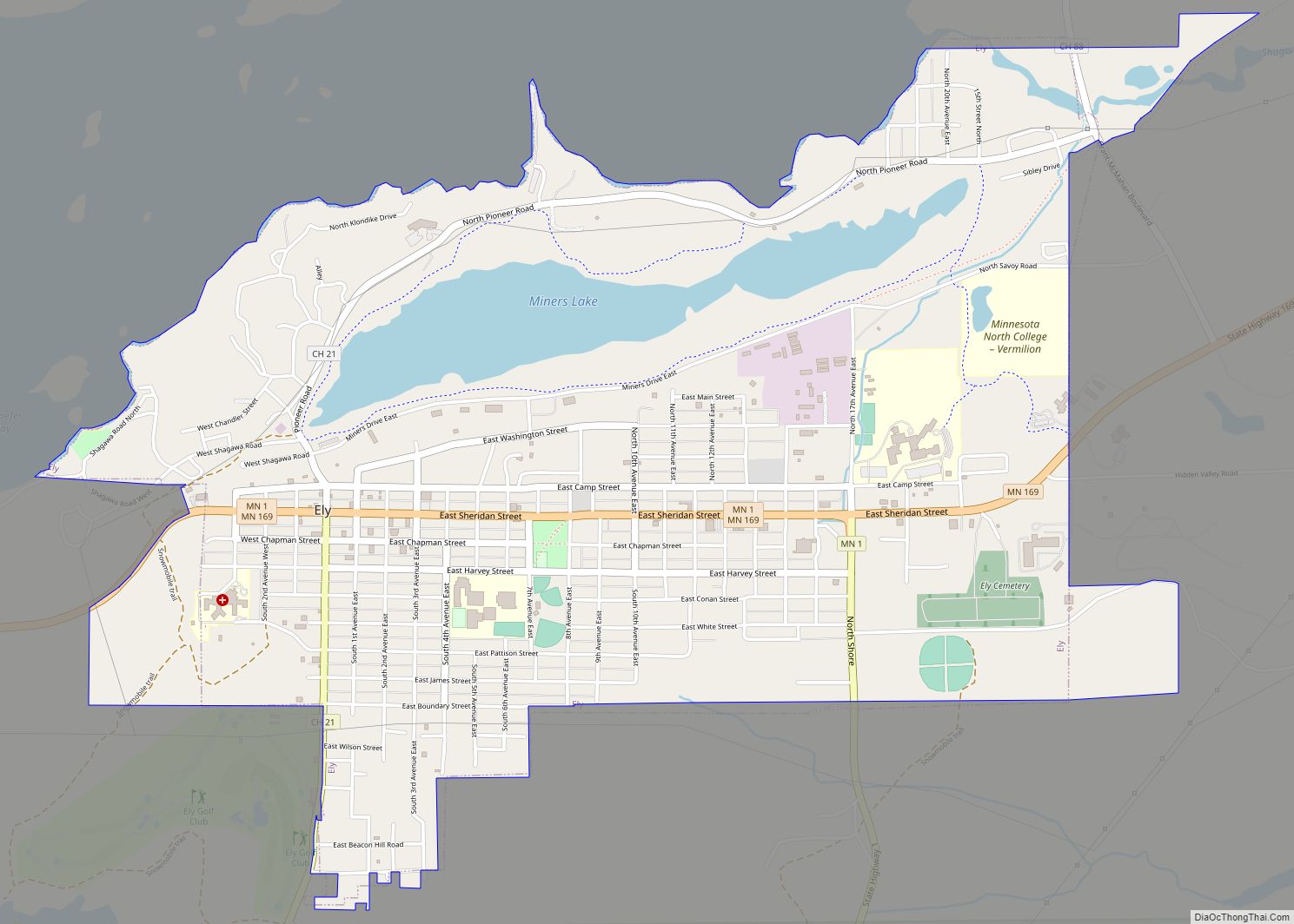
Ely (/ˈiːli/ EE-lee) is a city in Saint Louis County, Minnesota, United States. The population was 3,268 at the 2020 census. Located on the Vermilion iron range, Ely once had several iron ore mines. It is an entry point for campers and canoers into the Boundary Waters Canoe Area Wilderness and Canada’s Quetico Provincial Park ... Read more
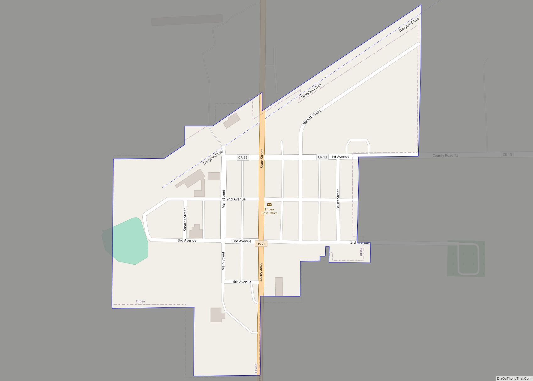
Elrosa (/ɛlˈroʊzə/ el-ROH-zə) is a city in Stearns County, Minnesota, United States. The population was 211 at the 2010 census. It is part of the St. Cloud Metropolitan Statistical Area. Elrosa city overview: Name: Elrosa city LSAD Code: 25 LSAD Description: city (suffix) State: Minnesota County: Stearns County Elevation: 1,312 ft (400 m) Total Area: 0.16 sq mi (0.41 km²) ... Read more

