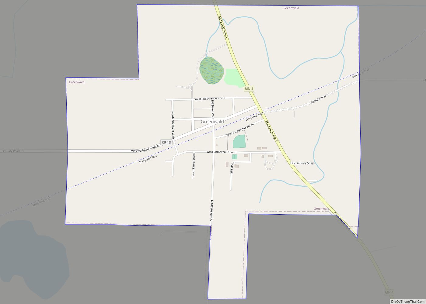
Greenwald is a city in Stearns County, Minnesota, United States. The population was 222 at the 2010 census. It is part of the St. Cloud Metropolitan Statistical Area. Minnesota State Highway 4 serves as a main route in the community and Interstate 94 passes nearby. Greenwald city overview: Name: Greenwald city LSAD Code: 25 LSAD ... Read more
Minnesota Cities and Places
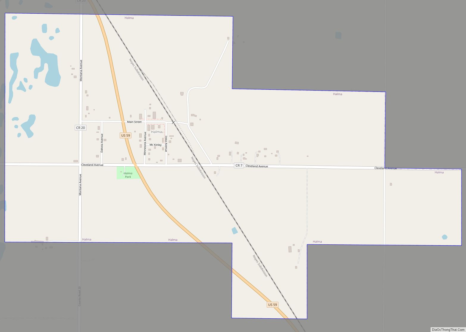
Halma is a city in Kittson County, Minnesota, United States. The population was 58 at the 2020 census. Halma city overview: Name: Halma city LSAD Code: 25 LSAD Description: city (suffix) State: Minnesota County: Kittson County Elevation: 997 ft (304 m) Total Area: 0.95 sq mi (2.45 km²) Land Area: 0.94 sq mi (2.43 km²) Water Area: 0.01 sq mi (0.02 km²) Total Population: 58 Population ... Read more
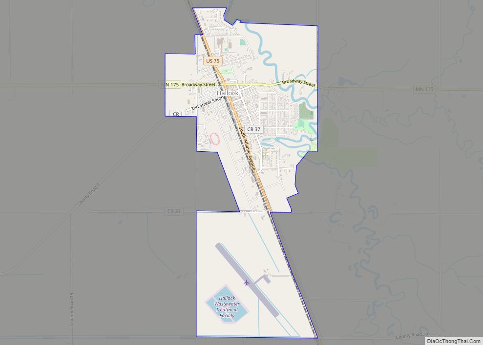
Hallock (/ˈhælɒk/ HAL-ok) is a city in and the county seat of Kittson County, Minnesota, United States. The population was 906 at the 2020 census. Hallock city overview: Name: Hallock city LSAD Code: 25 LSAD Description: city (suffix) State: Minnesota County: Kittson County Founded: 1879 Incorporated: 1887 Elevation: 817 ft (249 m) Total Area: 2.20 sq mi (5.69 km²) Land ... Read more
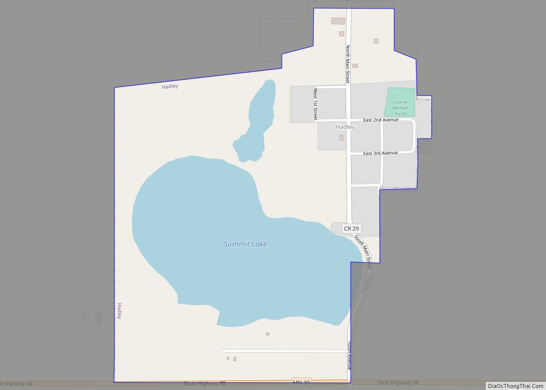
Hadley (/ˈhædliː/ (listen), HAD-lee) is a city in Murray County, Minnesota, United States. The population was 61 at the 2010 census. Hadley city overview: Name: Hadley city LSAD Code: 25 LSAD Description: city (suffix) State: Minnesota County: Murray County Elevation: 1,686 ft (514 m) Total Area: 0.41 sq mi (1.06 km²) Land Area: 0.29 sq mi (0.76 km²) Water Area: 0.11 sq mi (0.30 km²) Total ... Read more
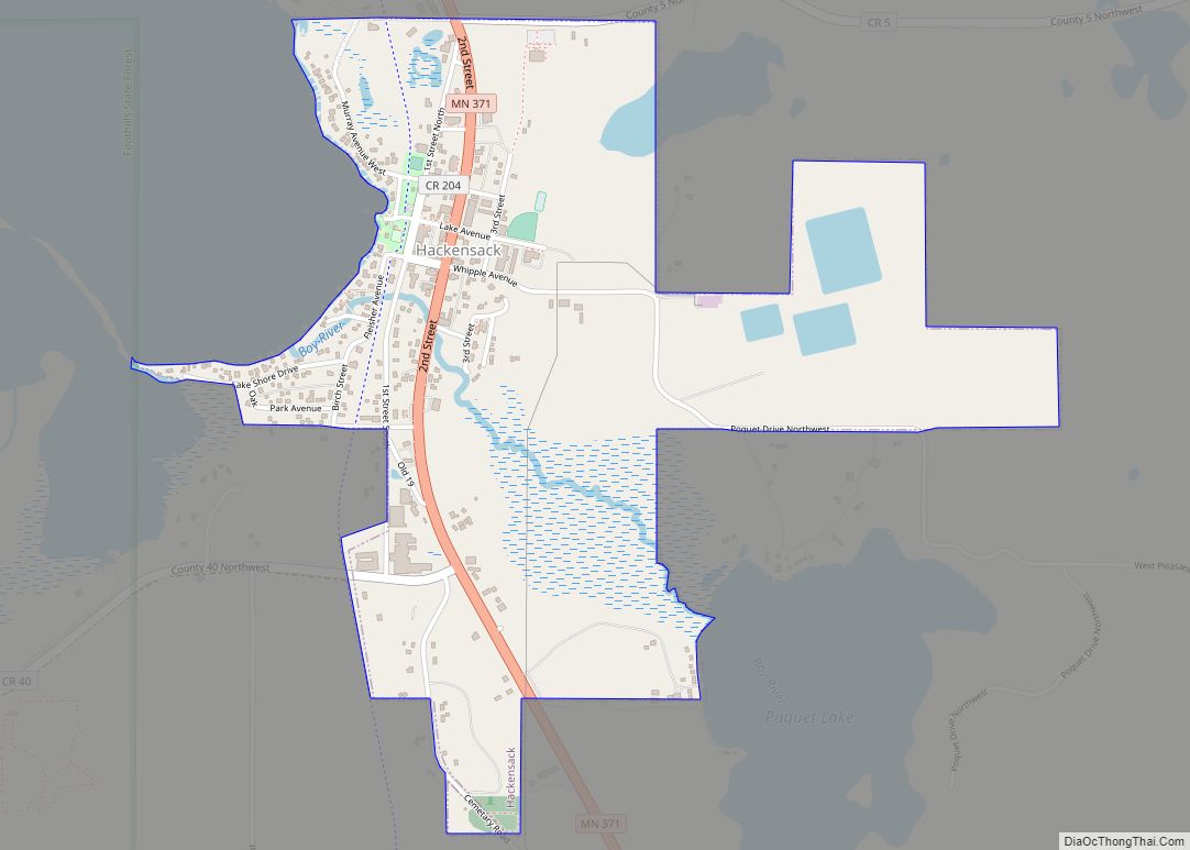
Hackensack is a city in Cass County, Minnesota, United States. The population was 313 at the 2010 census. It is part of the Brainerd Micropolitan Statistical Area. Hackensack city overview: Name: Hackensack city LSAD Code: 25 LSAD Description: city (suffix) State: Minnesota County: Cass County Elevation: 1,391 ft (424 m) Total Area: 1.03 sq mi (2.67 km²) Land Area: 1.02 sq mi ... Read more
Gully is a city in Polk County, Minnesota, United States. It is part of the Grand Forks–ND–MN Metropolitan Statistical Area. The population was 59 at the 2020 census. Gully city overview: Name: Gully city LSAD Code: 25 LSAD Description: city (suffix) State: Minnesota County: Polk County Elevation: 1,276 ft (389 m) Total Area: 0.25 sq mi (0.64 km²) Land Area: ... Read more
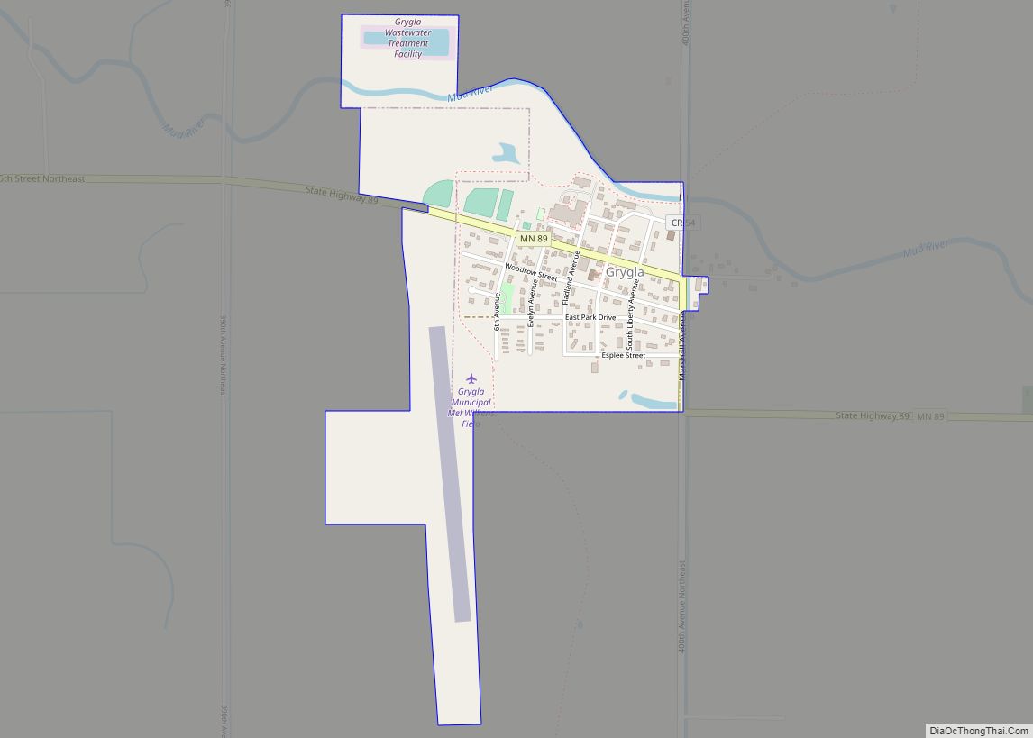
Grygla (/ˈɡrɪɡlə/ GRIG-lə) is a city in Valley Township of Marshall County, Minnesota, United States. The population was 180 at the 2020 census. Grygla city overview: Name: Grygla city LSAD Code: 25 LSAD Description: city (suffix) State: Minnesota County: Marshall County Elevation: 1,178 ft (359 m) Total Area: 0.58 sq mi (1.50 km²) Land Area: 0.58 sq mi (1.50 km²) Water Area: 0.00 sq mi ... Read more
Harding is a city in Morrison County, Minnesota, United States, along the Platte River. The population was 123 at the 2020 census. Harding city overview: Name: Harding city LSAD Code: 25 LSAD Description: city (suffix) State: Minnesota County: Morrison County Elevation: 1,260 ft (384 m) Total Area: 3.10 sq mi (8.03 km²) Land Area: 3.10 sq mi (8.03 km²) Water Area: 0.00 sq mi (0.00 km²) ... Read more
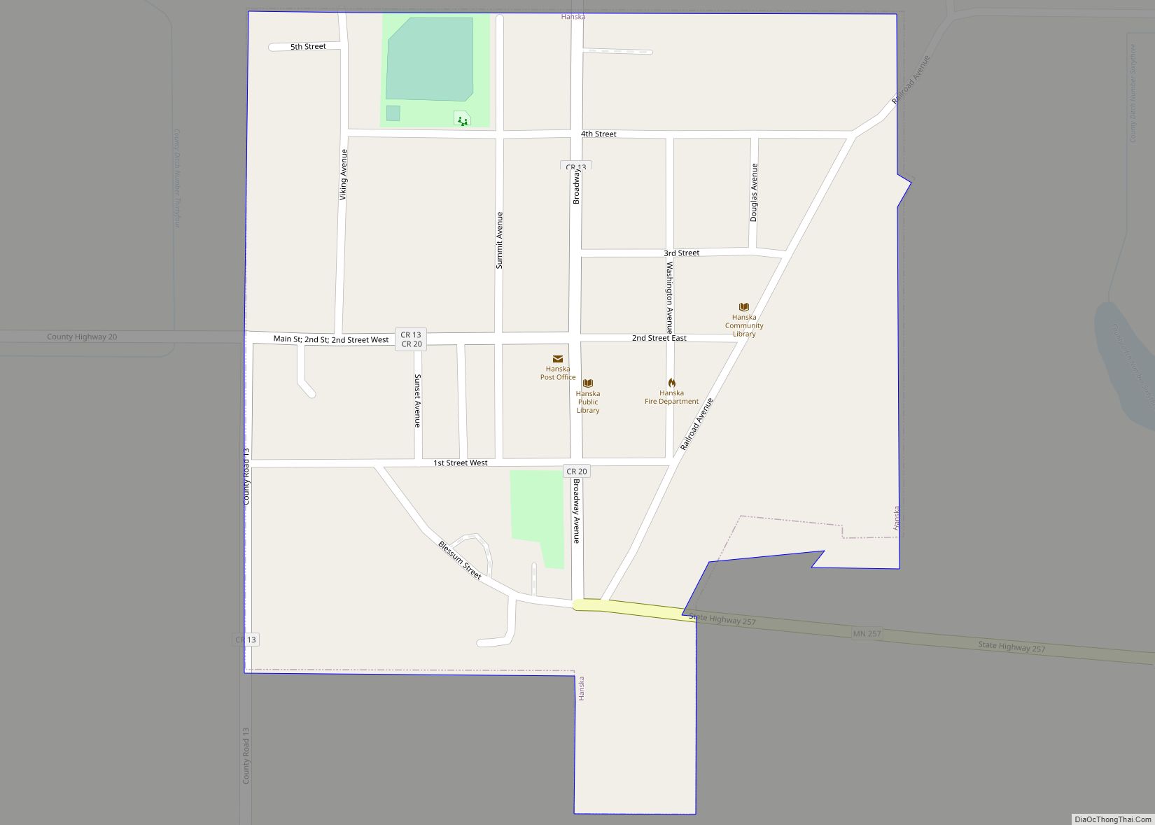
Hanska is a city in Brown County, Minnesota, United States. The population was 402 at the 2010 census. Hanska city overview: Name: Hanska city LSAD Code: 25 LSAD Description: city (suffix) State: Minnesota County: Brown County Elevation: 1,017 ft (310 m) Total Area: 0.25 sq mi (0.64 km²) Land Area: 0.25 sq mi (0.64 km²) Water Area: 0.00 sq mi (0.00 km²) Total Population: 382 Population ... Read more
Hanover is a city in Wright and Hennepin counties in the U.S. state of Minnesota. The population was 3,548 at the 2020 census. Hanover is mainly located within Wright County; only a small part of the city extends into Hennepin County. Even though Hanover is partly in the metropolitan county of Hennepin, it does not ... Read more
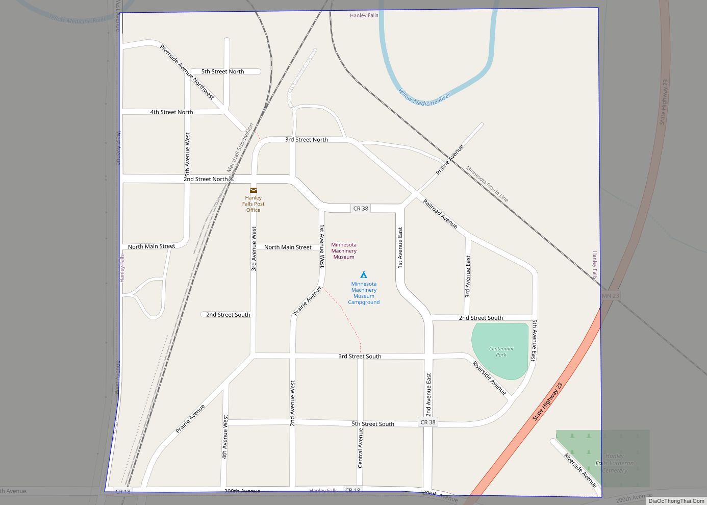
Hanley Falls is a city in Yellow Medicine County, Minnesota, United States. The population was 304 at the 2010 census. Hanley Falls city overview: Name: Hanley Falls city LSAD Code: 25 LSAD Description: city (suffix) State: Minnesota County: Yellow Medicine County Elevation: 1,047 ft (319 m) Total Area: 0.25 sq mi (0.65 km²) Land Area: 0.25 sq mi (0.65 km²) Water Area: 0.00 sq mi ... Read more
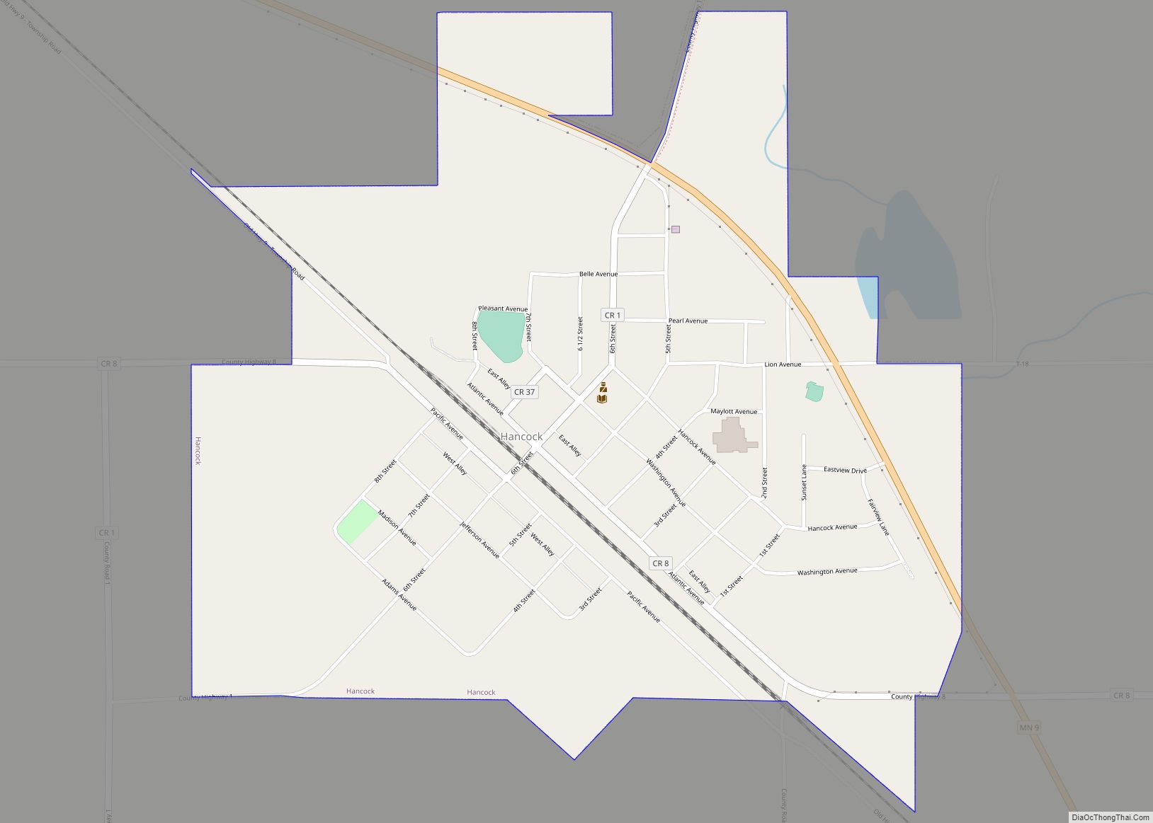
Hancock is a city in Stevens County, Minnesota, United States. The population was 863 at the 2020 census. Hancock city overview: Name: Hancock city LSAD Code: 25 LSAD Description: city (suffix) State: Minnesota County: Stevens County Elevation: 1,158 ft (353 m) Total Area: 0.90 sq mi (2.34 km²) Land Area: 0.90 sq mi (2.34 km²) Water Area: 0.00 sq mi (0.00 km²) Total Population: 863 Population ... Read more
