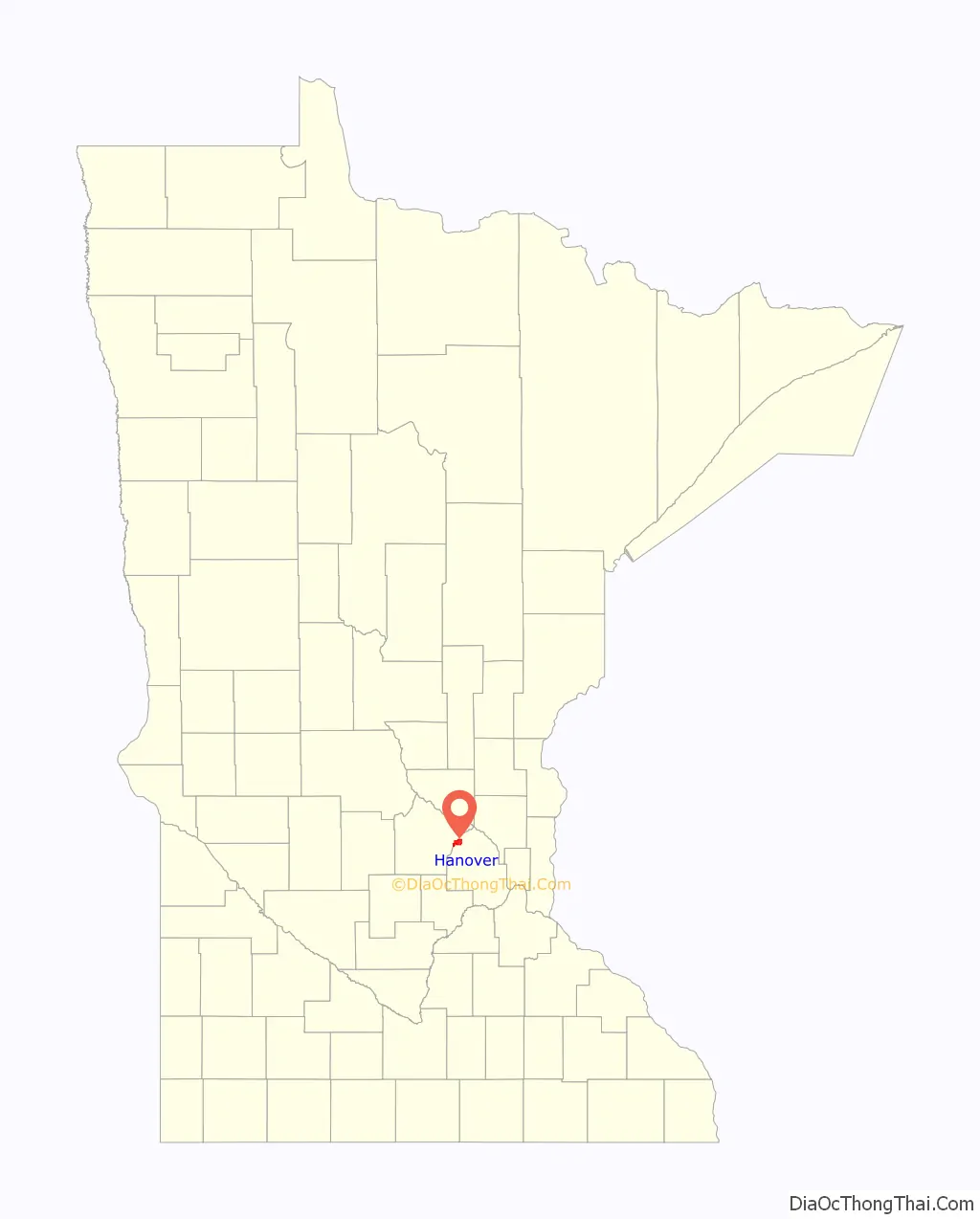
Hanover is a city in Wright and Hennepin counties in the U.S. state of Minnesota. The population was 3,548 at the 2020 census. Hanover is mainly located within Wright County; only a small part of the city extends into Hennepin County.
Even though Hanover is partly in the metropolitan county of Hennepin, it does not fall under the jurisdiction of the Twin Cities Metropolitan Council.
| Name: | Hanover city |
|---|---|
| LSAD Code: | 25 |
| LSAD Description: | city (suffix) |
| State: | Minnesota |
| County: | Hennepin County, Wright County |
| Founded: | 1877 |
| Incorporated: | 1891 |
| Elevation: | 922 ft (281 m) |
| Total Area: | 5.64 sq mi (14.61 km²) |
| Land Area: | 5.49 sq mi (14.21 km²) |
| Water Area: | 0.16 sq mi (0.41 km²) |
| Total Population: | 3,548 |
| Population Density: | 646.74/sq mi (249.71/km²) |
| ZIP code: | 55341 |
| Area code: | 763 |
| FIPS code: | 2726990 |
| GNISfeature ID: | 0644632 |
| Website: | hanovermn.org |
Online Interactive Map
Click on ![]() to view map in "full screen" mode.
to view map in "full screen" mode.
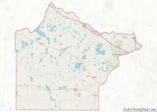
Hanover location map. Where is Hanover city?

History
Hanover was laid out in 1877 and named after Hanover, in Germany, the native land of some of the early settlers. A post office has been in operation at Hanover since 1877. Hanover was incorporated in 1891. One property in Hanover, the 1885 Hanover Bridge, is listed on the National Register of Historic Places.
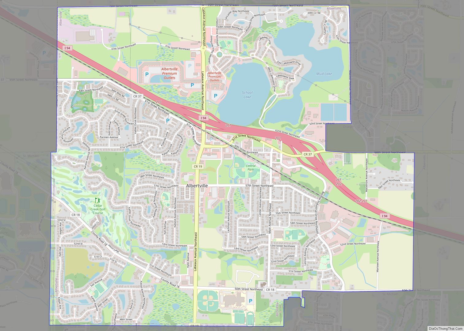
Hanover Road Map

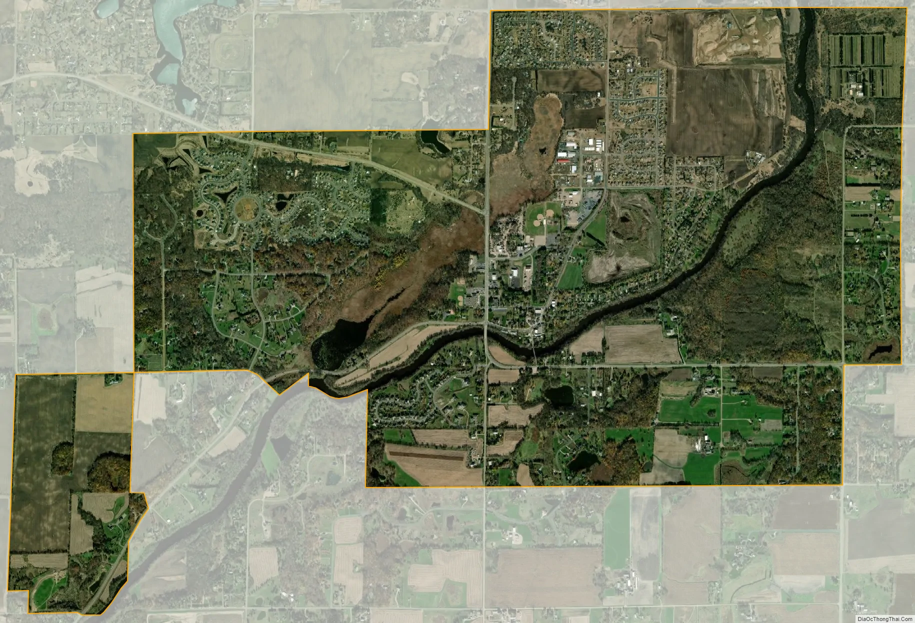
Hanover city Satellite Map
Geography
According to the United States Census Bureau, the city has a total area of 5.59 square miles (14.48 km); 5.45 square miles (14.12 km) is land and 0.14 square miles (0.36 km) is water. County Road 19 serves as a main route in the city.
Hanover is located along the Crow River. The river flows through the Downtown River District, and serves as the boundary line between Hennepin and Wright counties.
Nearby places include St. Michael, Albertville, Rogers, Maple Grove, Corcoran, Greenfield, Rockford, Buffalo and Montrose.
The singer and Minnesota native Bob Dylan used to own a ranch near Hanover in Hennepin County.
See also
Map of Minnesota State and its subdivision:- Aitkin
- Anoka
- Becker
- Beltrami
- Benton
- Big Stone
- Blue Earth
- Brown
- Carlton
- Carver
- Cass
- Chippewa
- Chisago
- Clay
- Clearwater
- Cook
- Cottonwood
- Crow Wing
- Dakota
- Dodge
- Douglas
- Faribault
- Fillmore
- Freeborn
- Goodhue
- Grant
- Hennepin
- Houston
- Hubbard
- Isanti
- Itasca
- Jackson
- Kanabec
- Kandiyohi
- Kittson
- Koochiching
- Lac qui Parle
- Lake
- Lake of the Woods
- Lake Superior
- Le Sueur
- Lincoln
- Lyon
- Mahnomen
- Marshall
- Martin
- McLeod
- Meeker
- Mille Lacs
- Morrison
- Mower
- Murray
- Nicollet
- Nobles
- Norman
- Olmsted
- Otter Tail
- Pennington
- Pine
- Pipestone
- Polk
- Pope
- Ramsey
- Red Lake
- Redwood
- Renville
- Rice
- Rock
- Roseau
- Saint Louis
- Scott
- Sherburne
- Sibley
- Stearns
- Steele
- Stevens
- Swift
- Todd
- Traverse
- Wabasha
- Wadena
- Waseca
- Washington
- Watonwan
- Wilkin
- Winona
- Wright
- Yellow Medicine
- Alabama
- Alaska
- Arizona
- Arkansas
- California
- Colorado
- Connecticut
- Delaware
- District of Columbia
- Florida
- Georgia
- Hawaii
- Idaho
- Illinois
- Indiana
- Iowa
- Kansas
- Kentucky
- Louisiana
- Maine
- Maryland
- Massachusetts
- Michigan
- Minnesota
- Mississippi
- Missouri
- Montana
- Nebraska
- Nevada
- New Hampshire
- New Jersey
- New Mexico
- New York
- North Carolina
- North Dakota
- Ohio
- Oklahoma
- Oregon
- Pennsylvania
- Rhode Island
- South Carolina
- South Dakota
- Tennessee
- Texas
- Utah
- Vermont
- Virginia
- Washington
- West Virginia
- Wisconsin
- Wyoming